Mt. Bierstadt is one of the busiest 14ers, so we were a little hesitant to visit it on a Saturday morning. Although, it was still early in the year (June 2nd), so we figured it might not be peak volumes yet. The conditions promised to be very good, but we heard rumors of significant ice up high, so we loaded up our microspikes as well. There were a few pretty icy stretches, including a really icy creek crossing in the willows, but the spikes turned out to be entirely unnecessary. We got one of the last parking spots in the lot even though we left home very early, but the crowds weren’t overbearing and we still really enjoyed our hike.
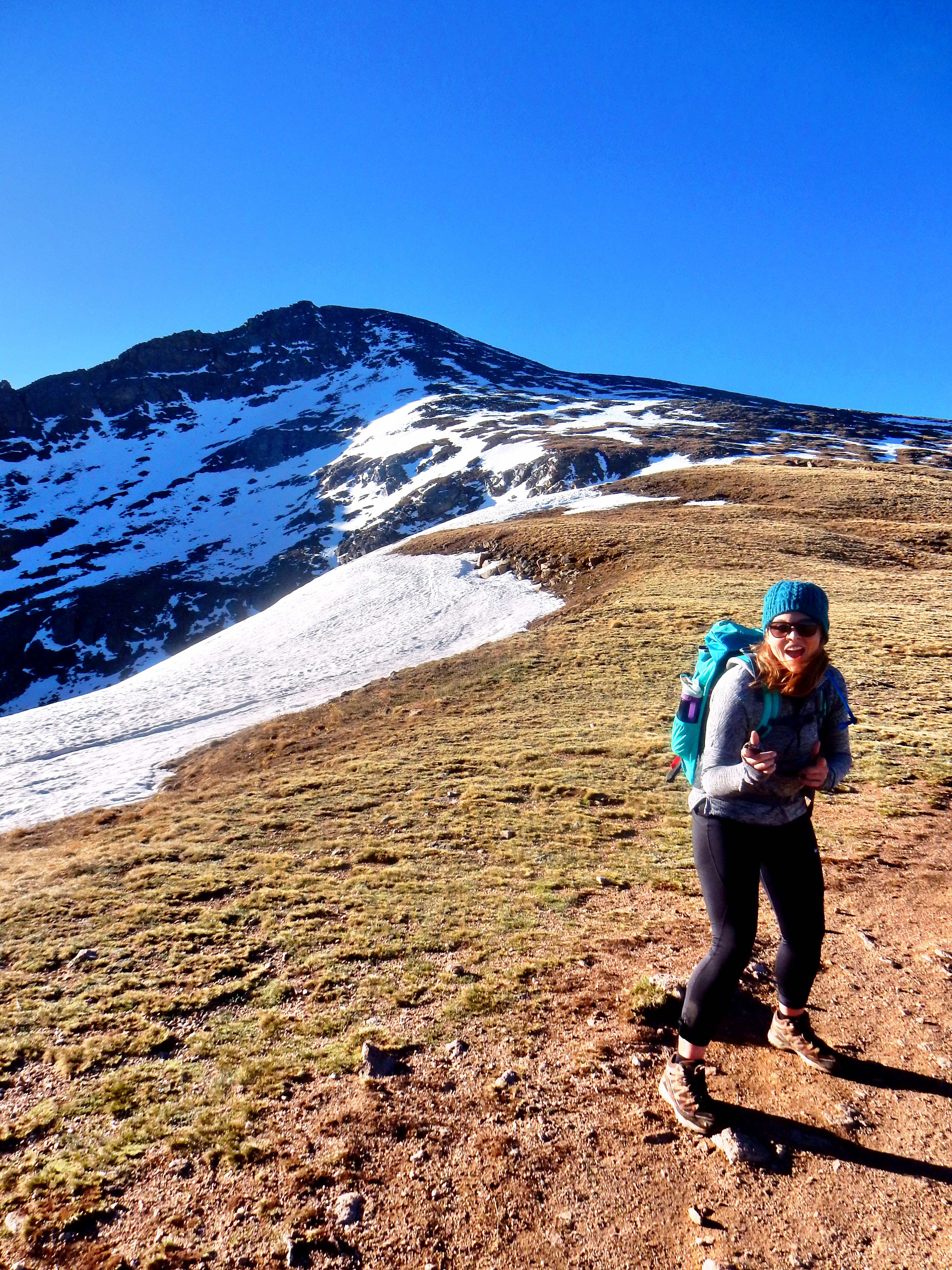
I hadn’t hiked up Mt. Bierstadt in many, many years as it was one of the first 14ers I did with my Dad. It was great to be back as I failed to remember a lot of the details about it. Also, this was Elizabeth’s second 14ers, which made it special also. Bierstadt is somewhat of a deceptive mountain as it looks very easy and simple. It is strange to be able to see the summit from the trailhead at Guanella Pass, but you definitely still earn this summit too! Per my Garmin it was 7.87 miles with 2,730′ of gain, which is similar to the 14ers.com #’s of 7 miles with 2,850′. Today was a reminder that you always have to respect the mountain or respect the distance as people say with running. Early on, we weren’t feeling too great, but we kept moving and it turned into a wonderful day.
Since navigation is very well-defined and simple heading Mt. Bierstadt from Guanella Pass; I may not include as much detail, but here are some of my favorite pictures! As usual, I took way, way too many pictures.
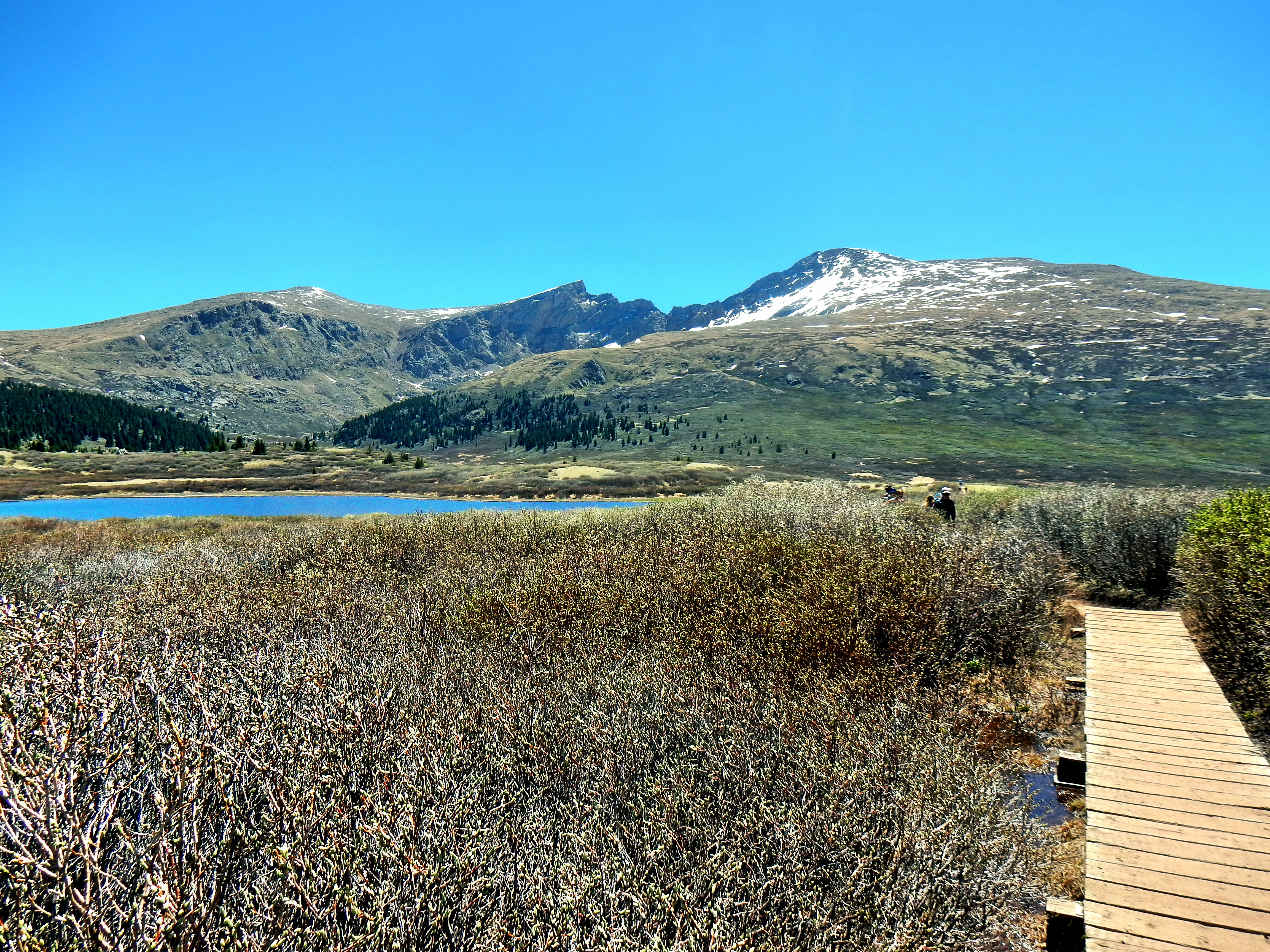
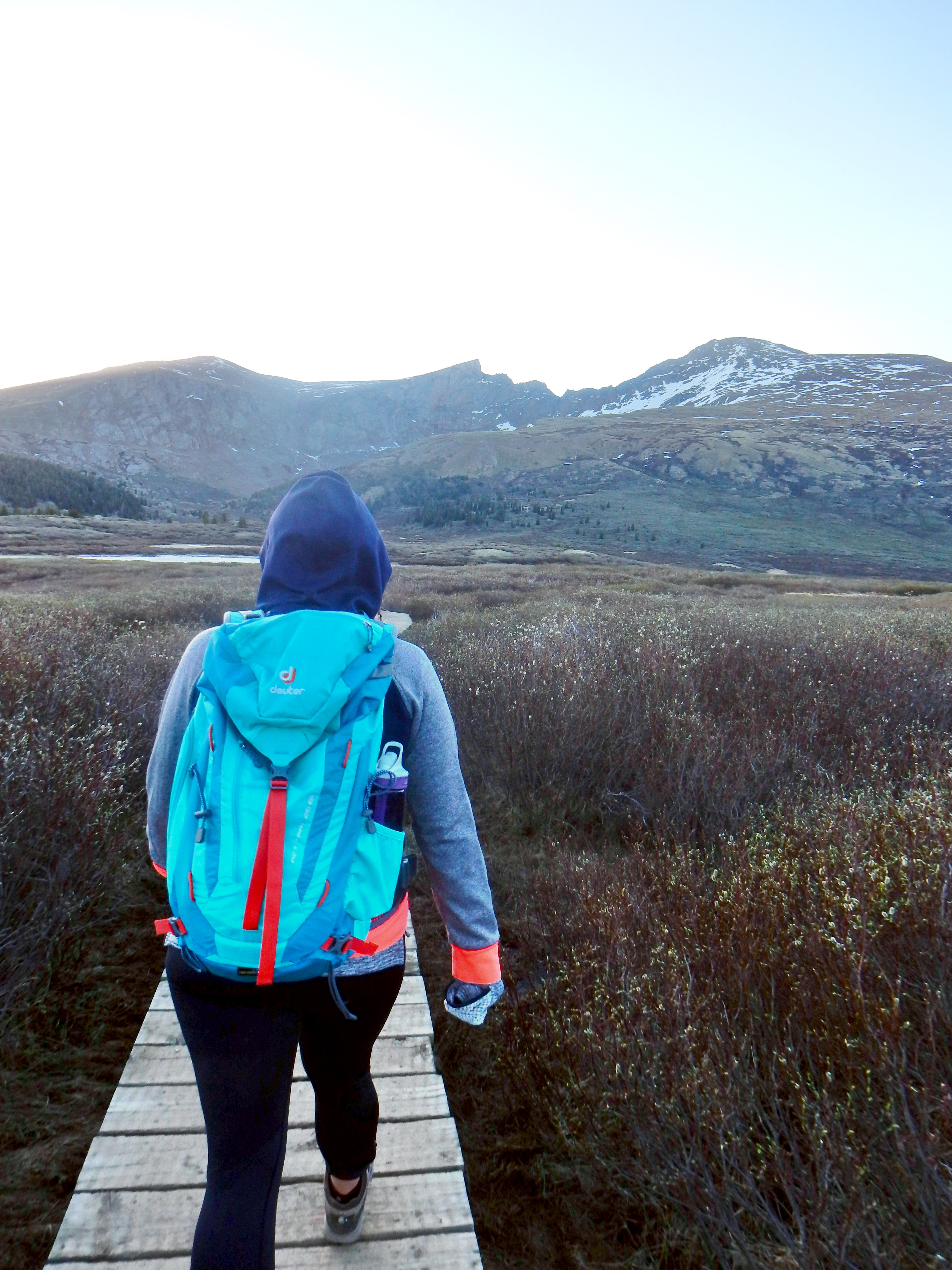
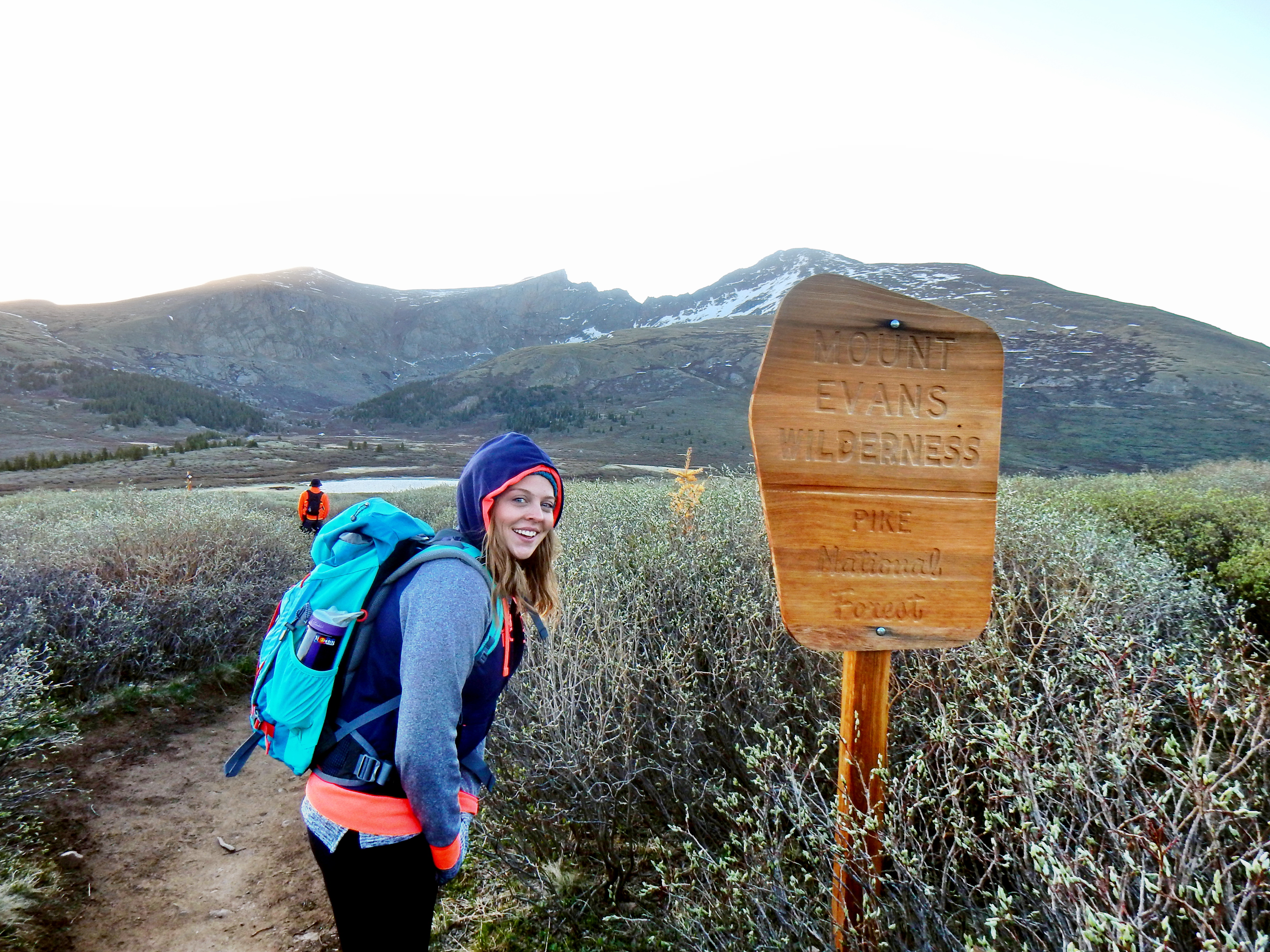
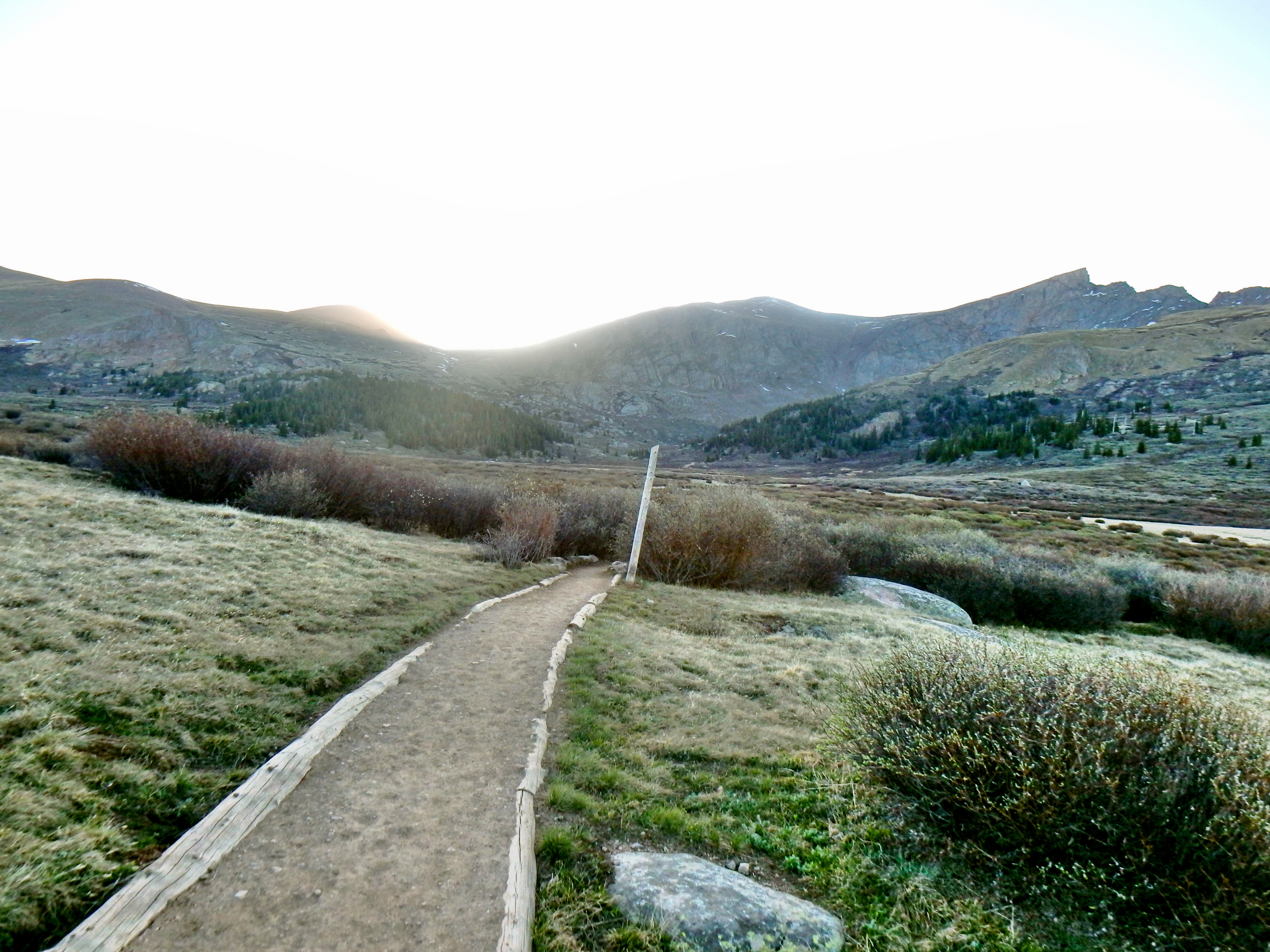
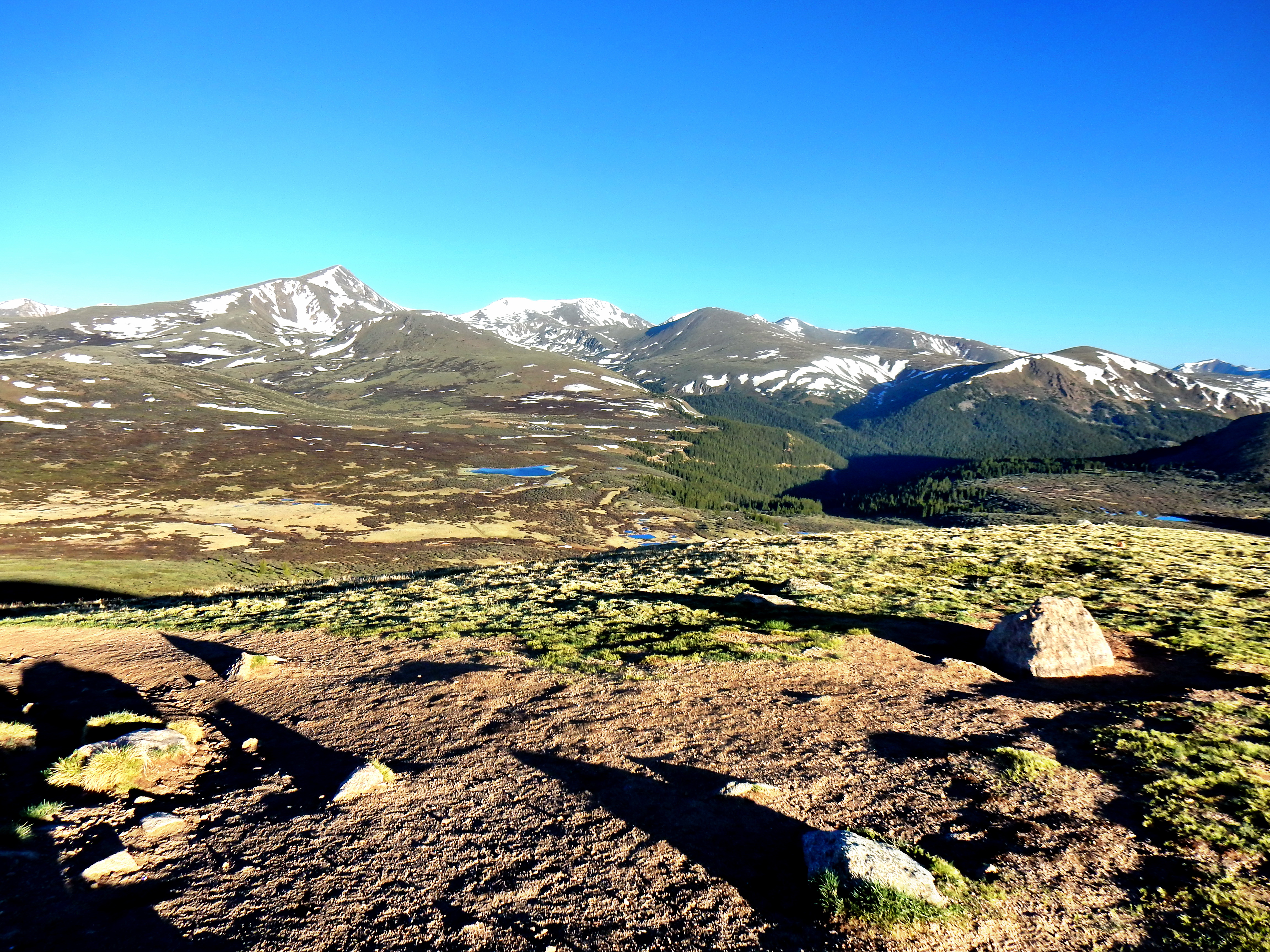
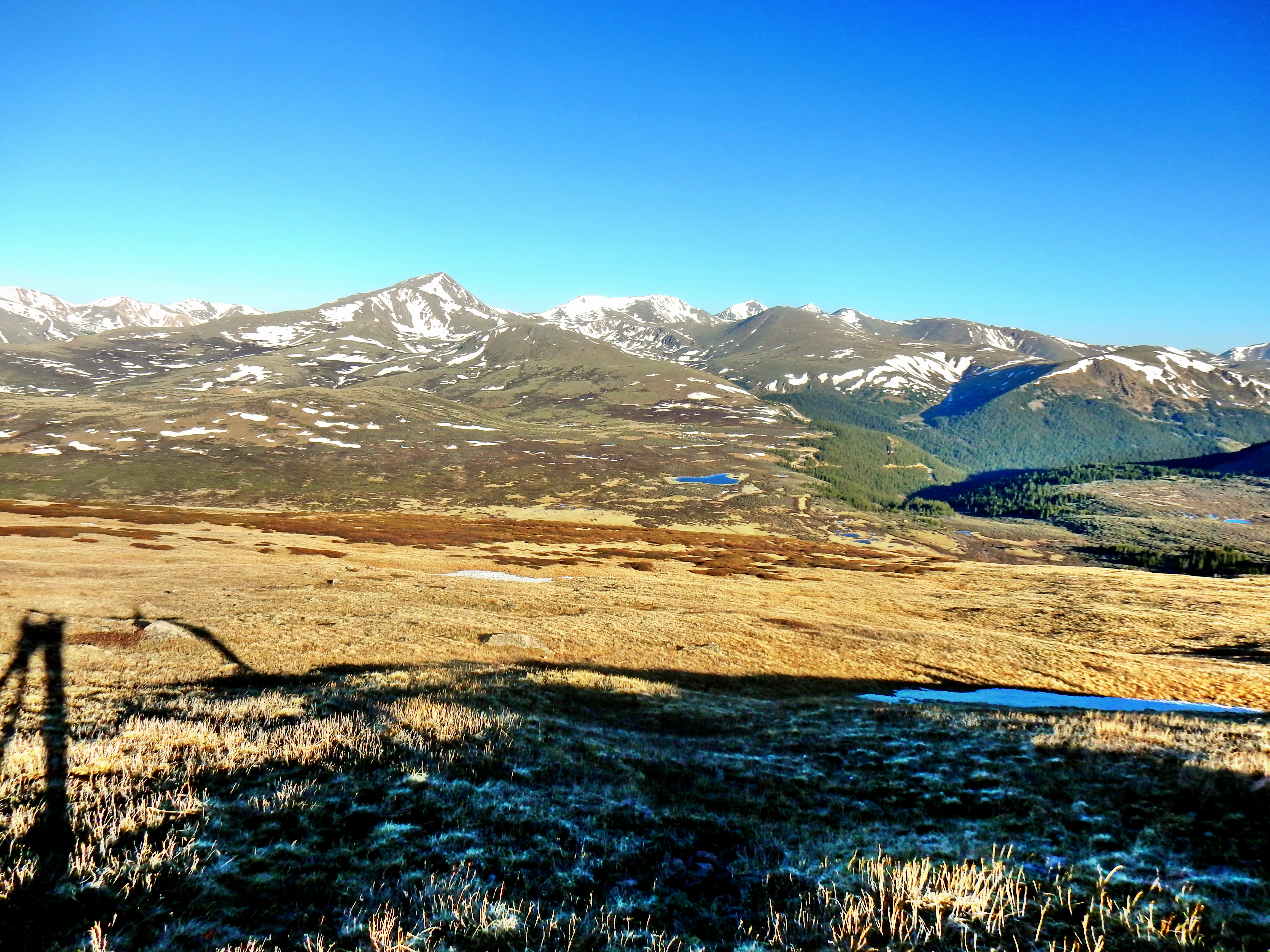
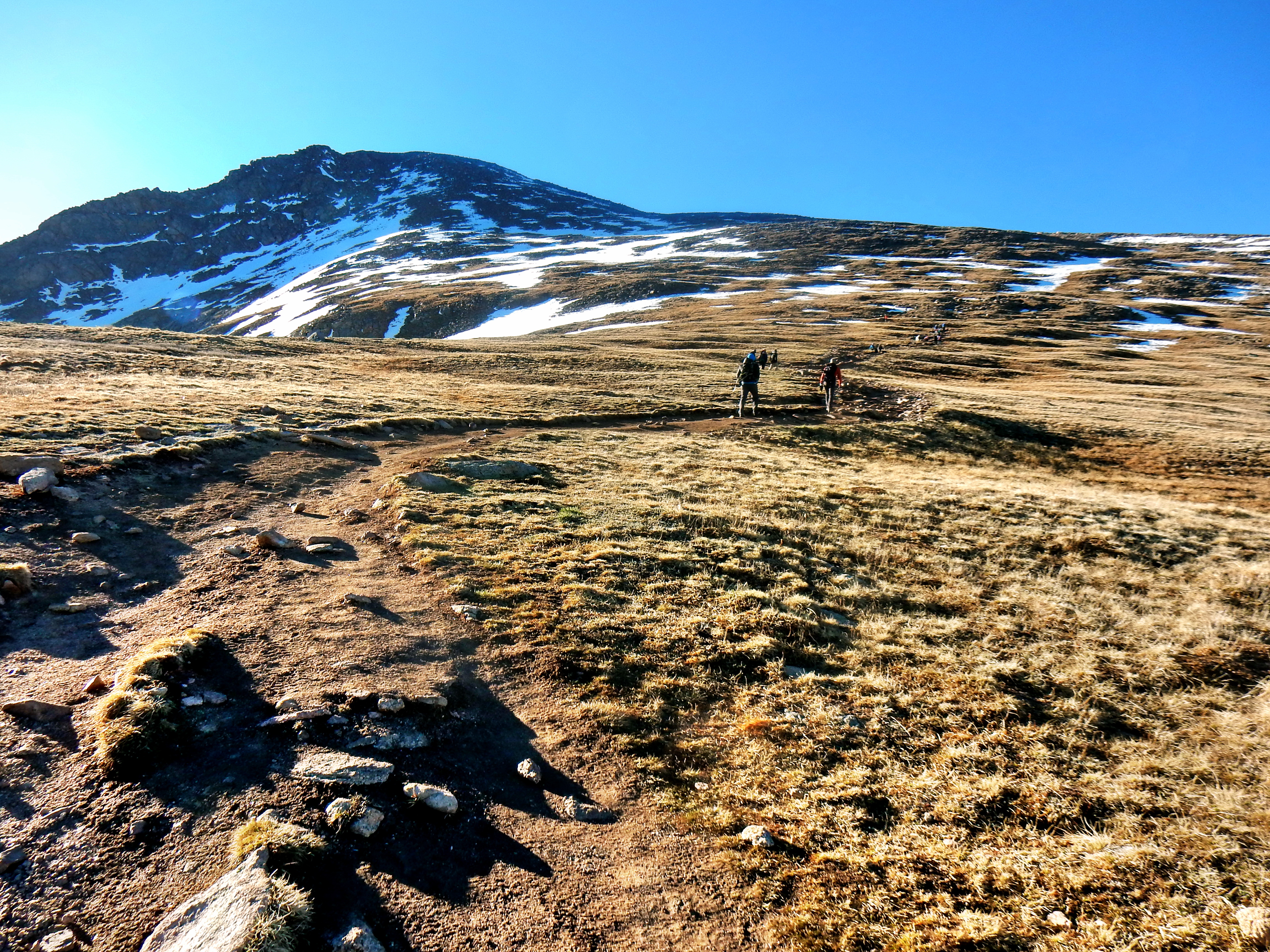
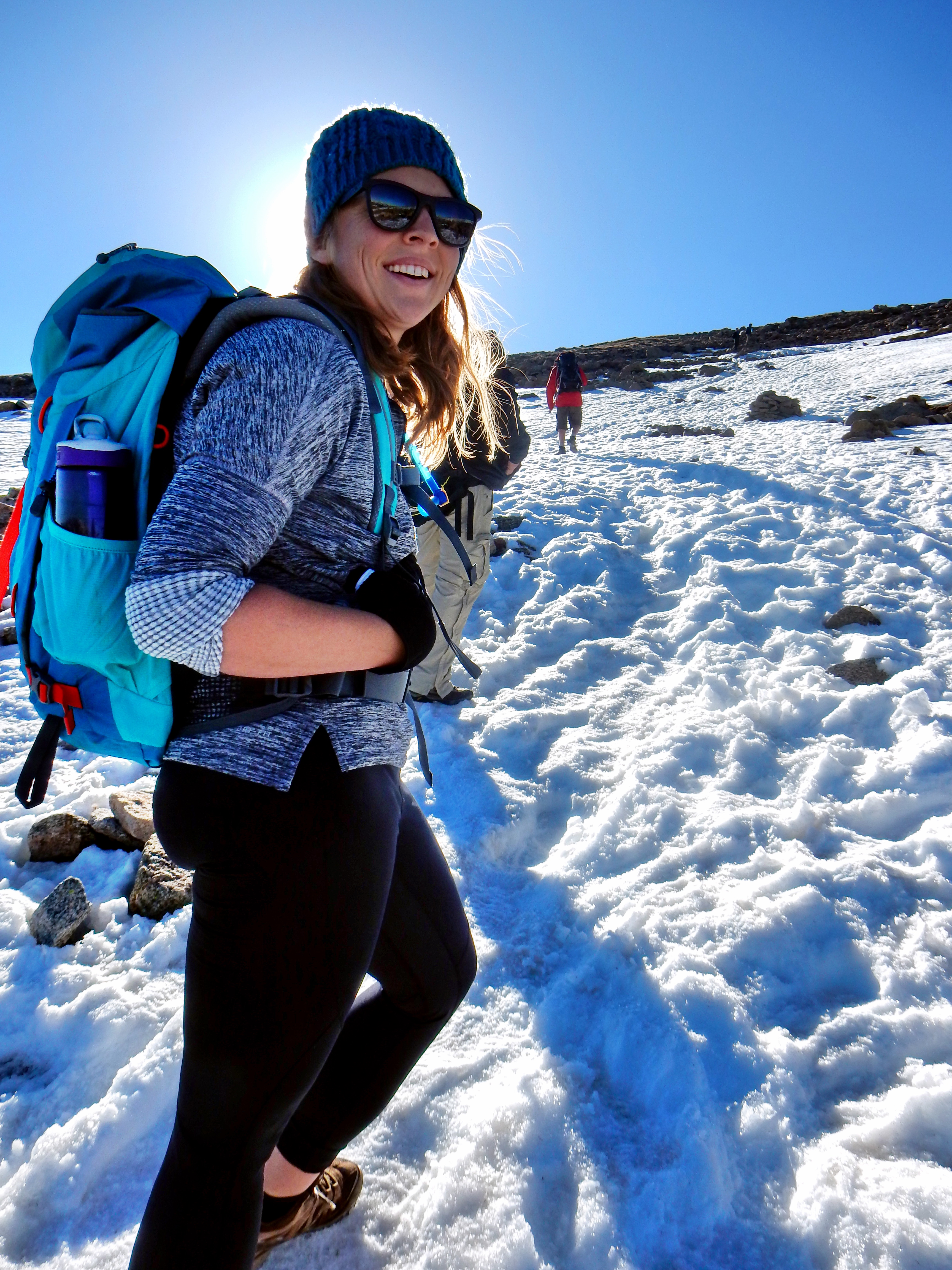
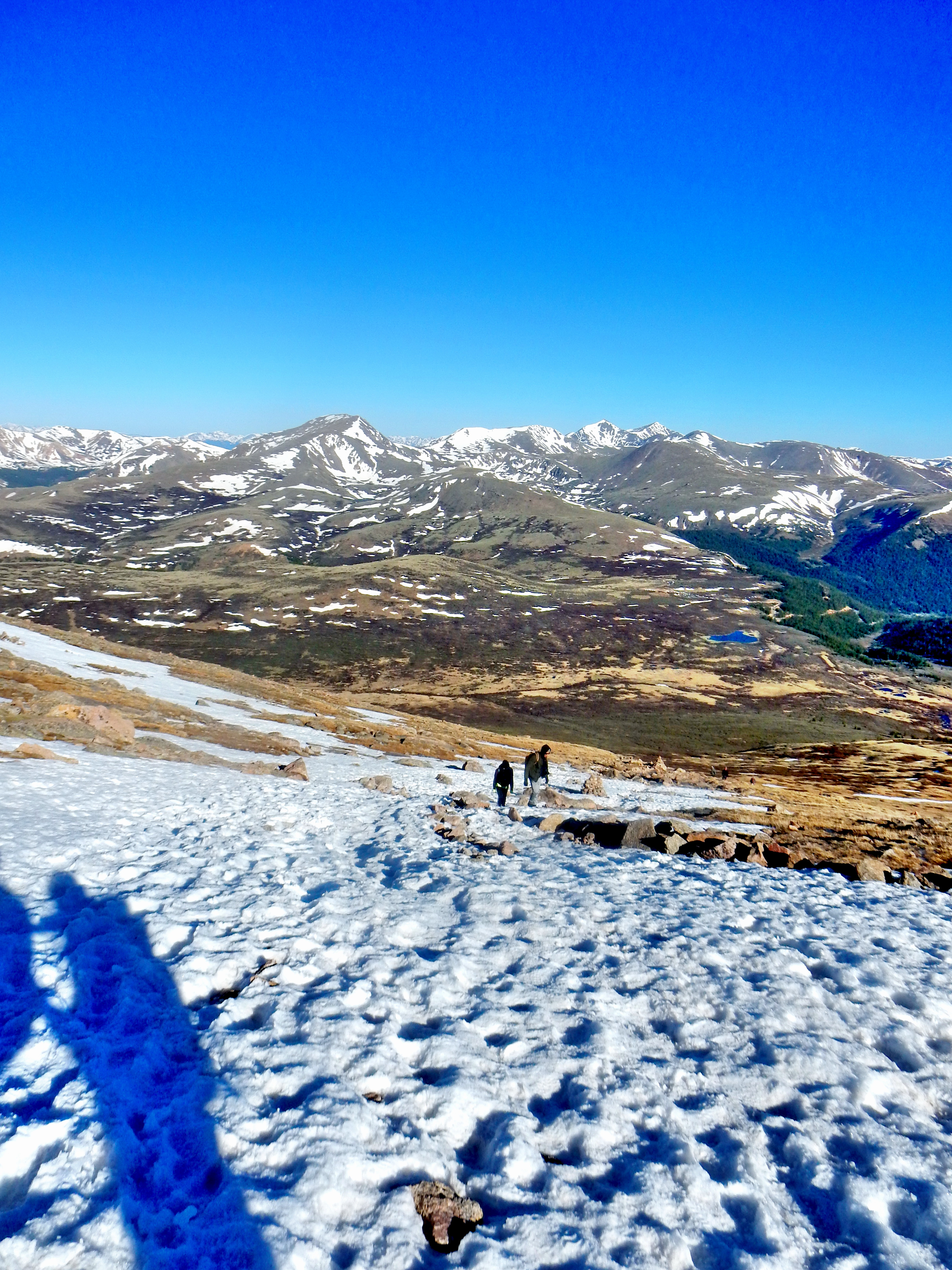
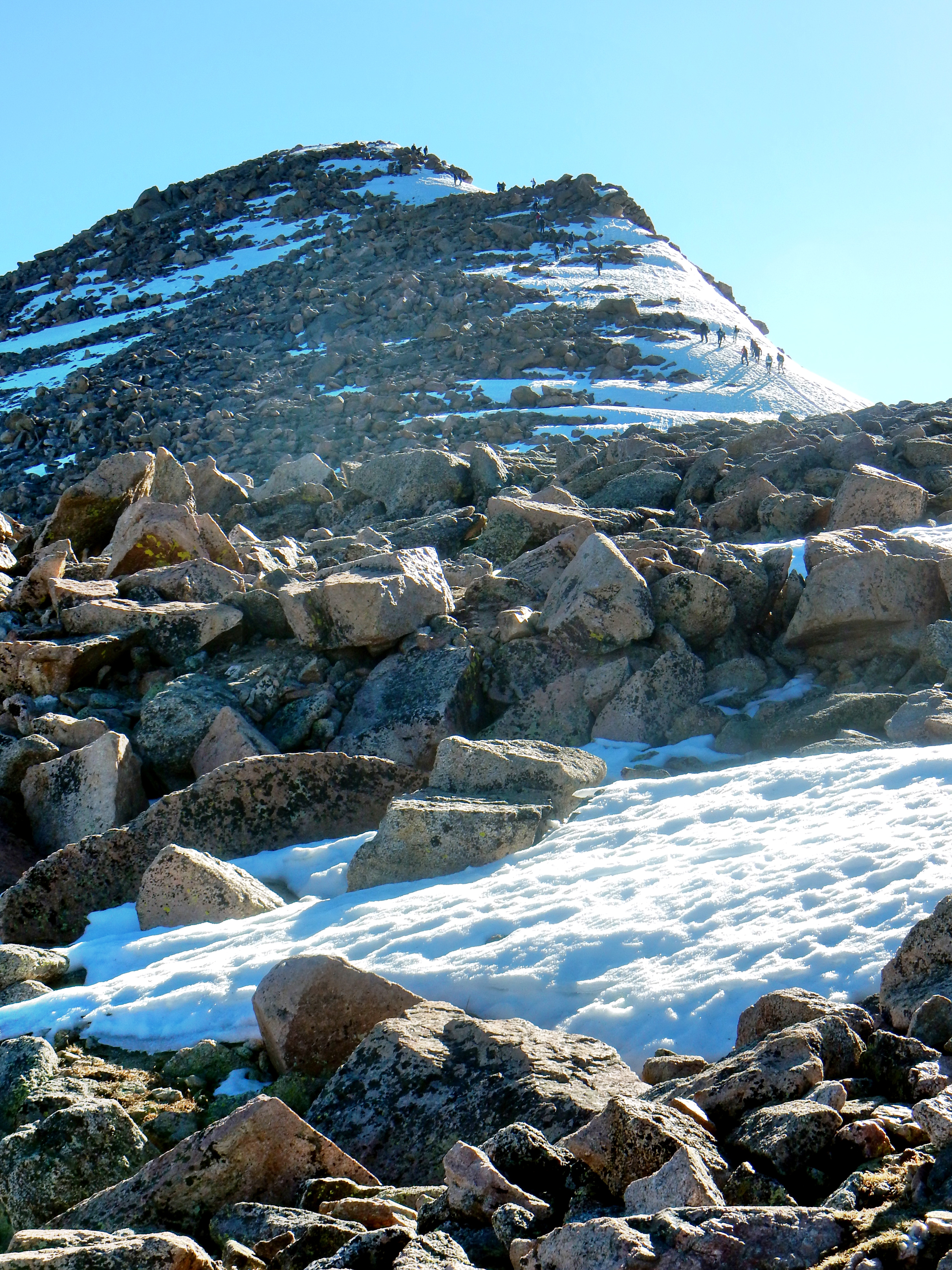
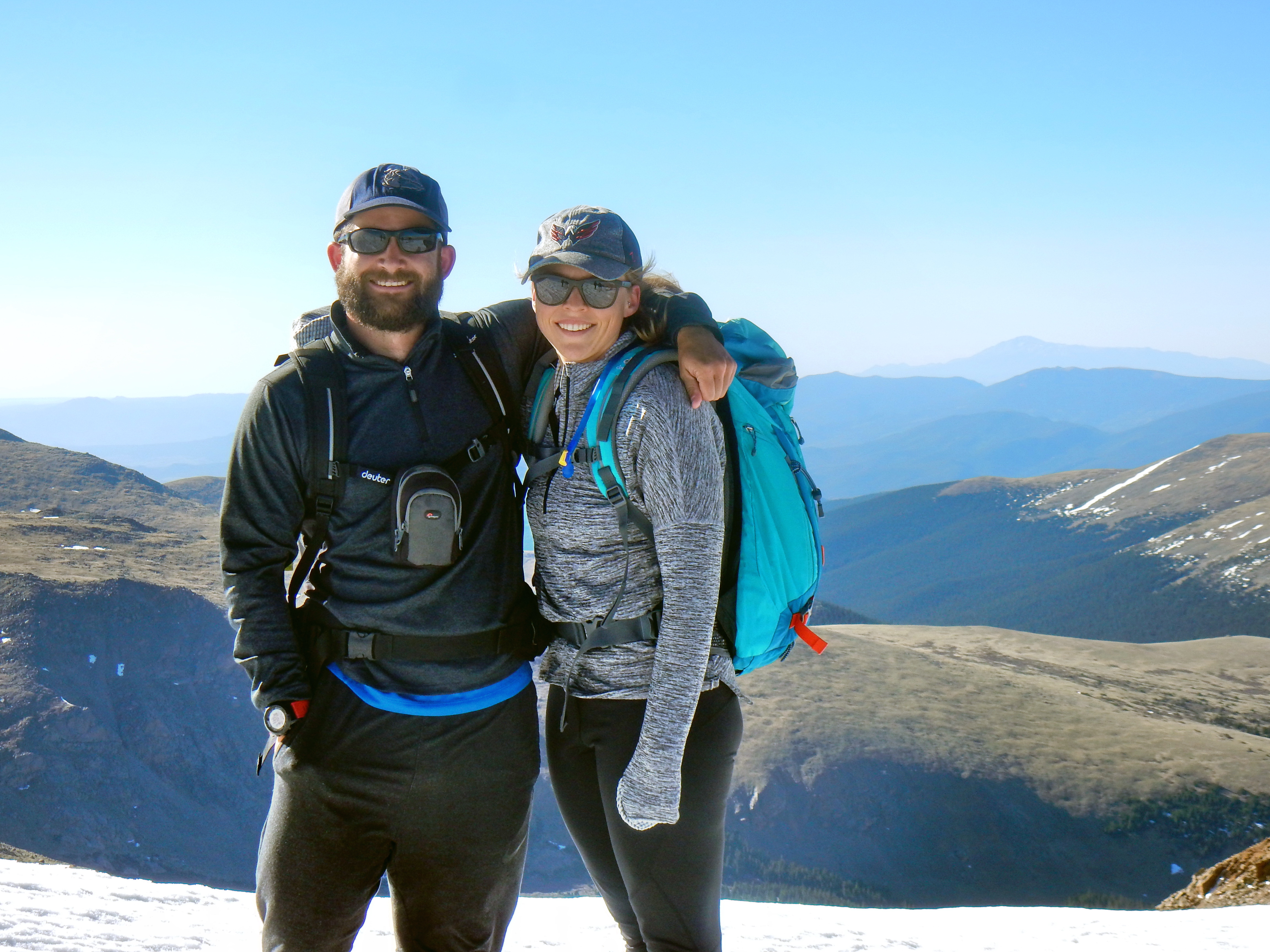
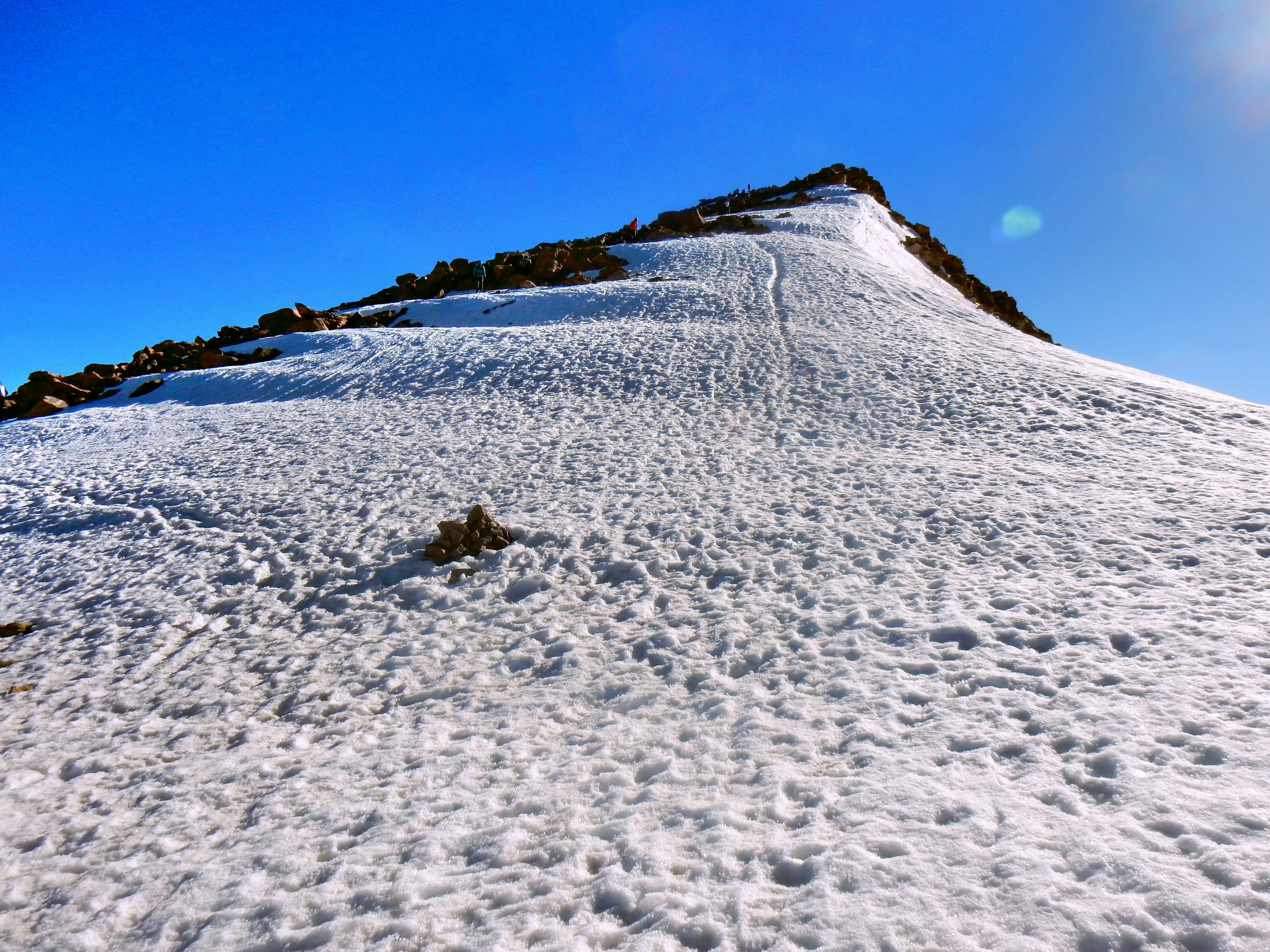
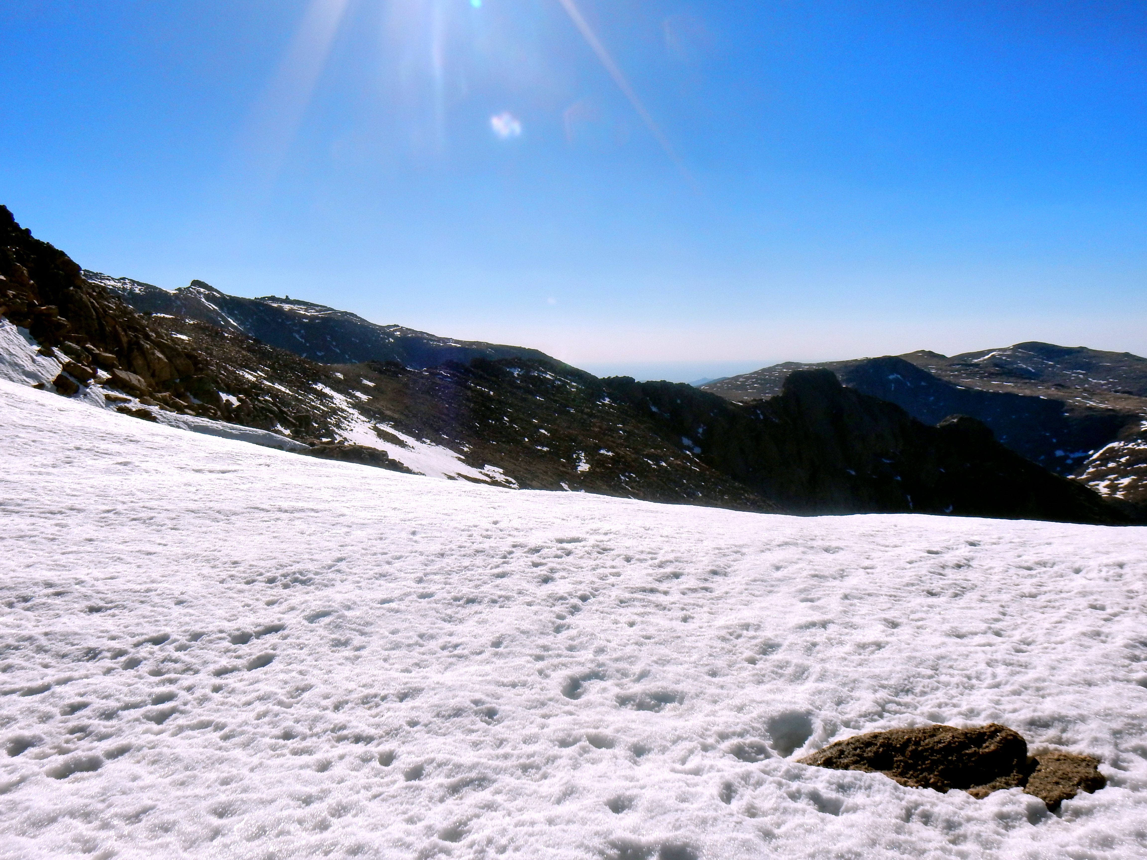
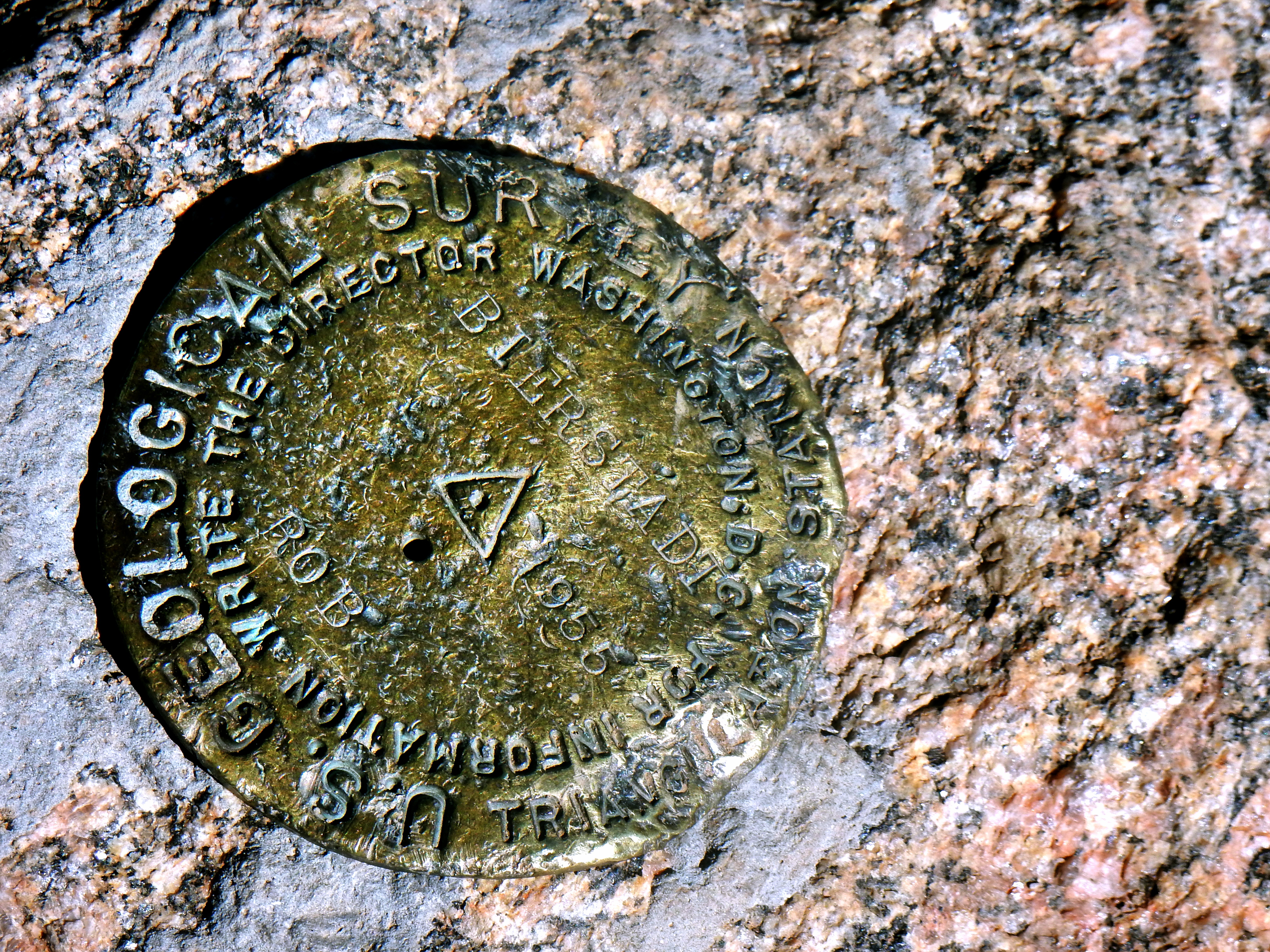
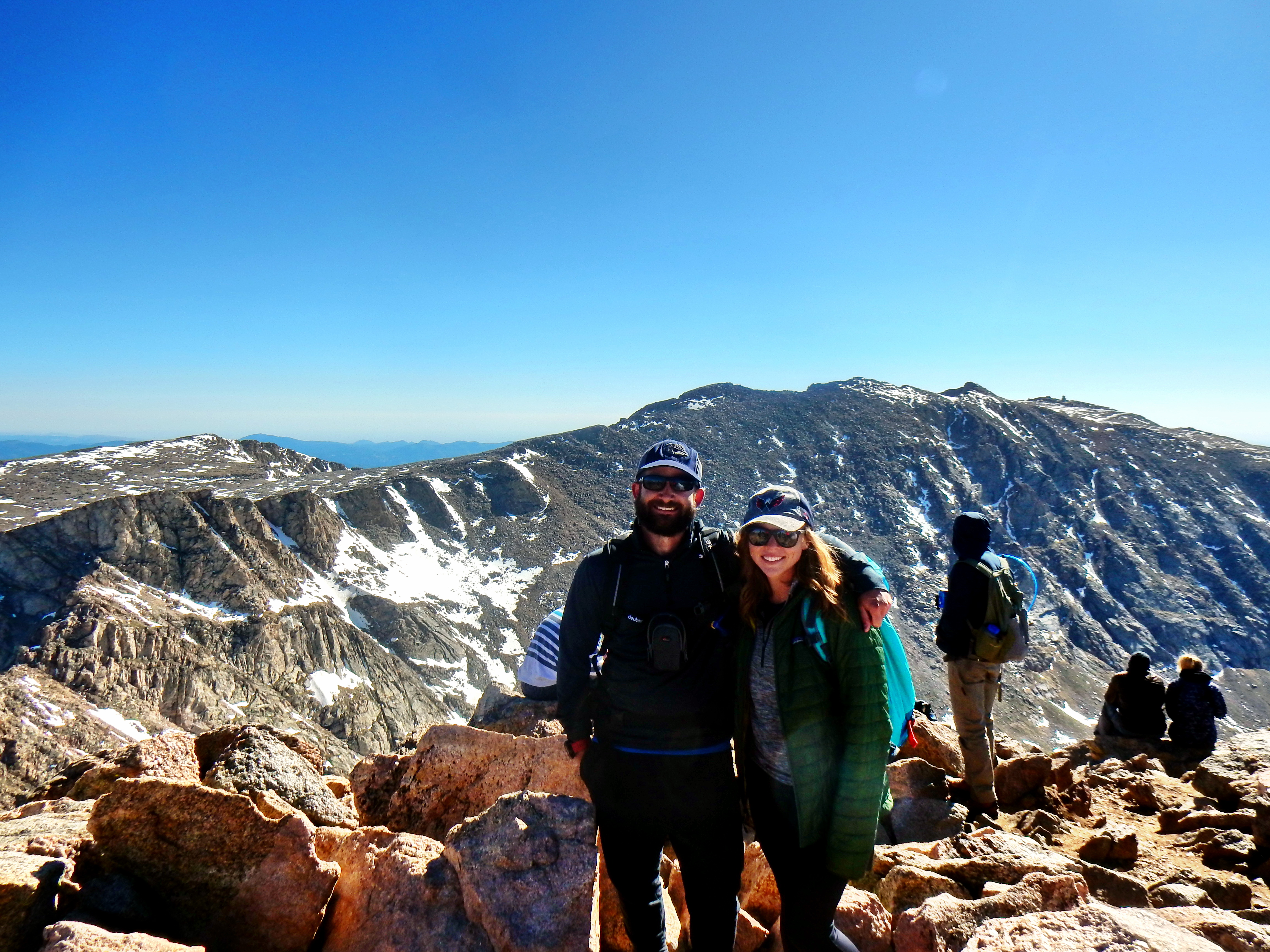
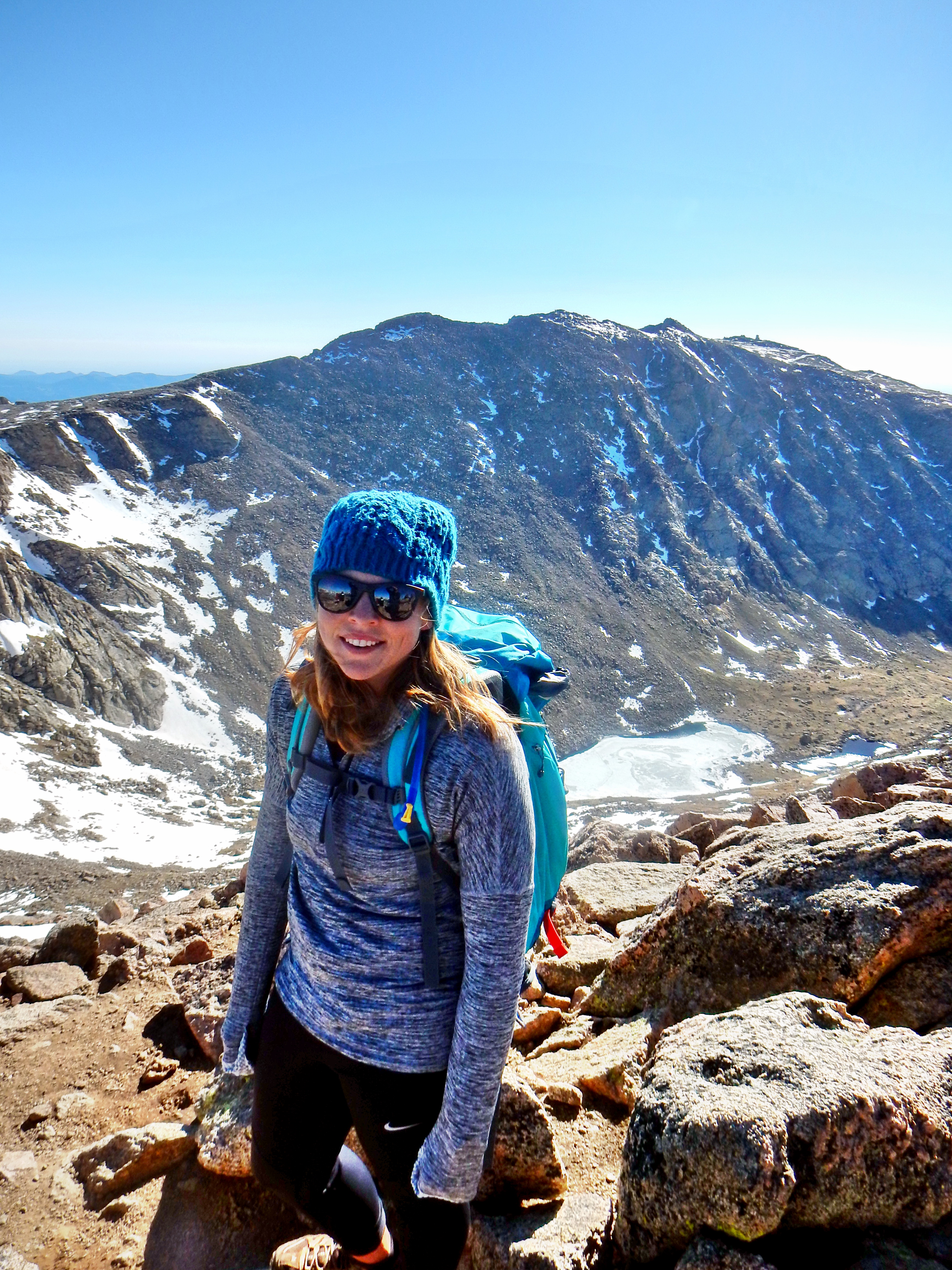
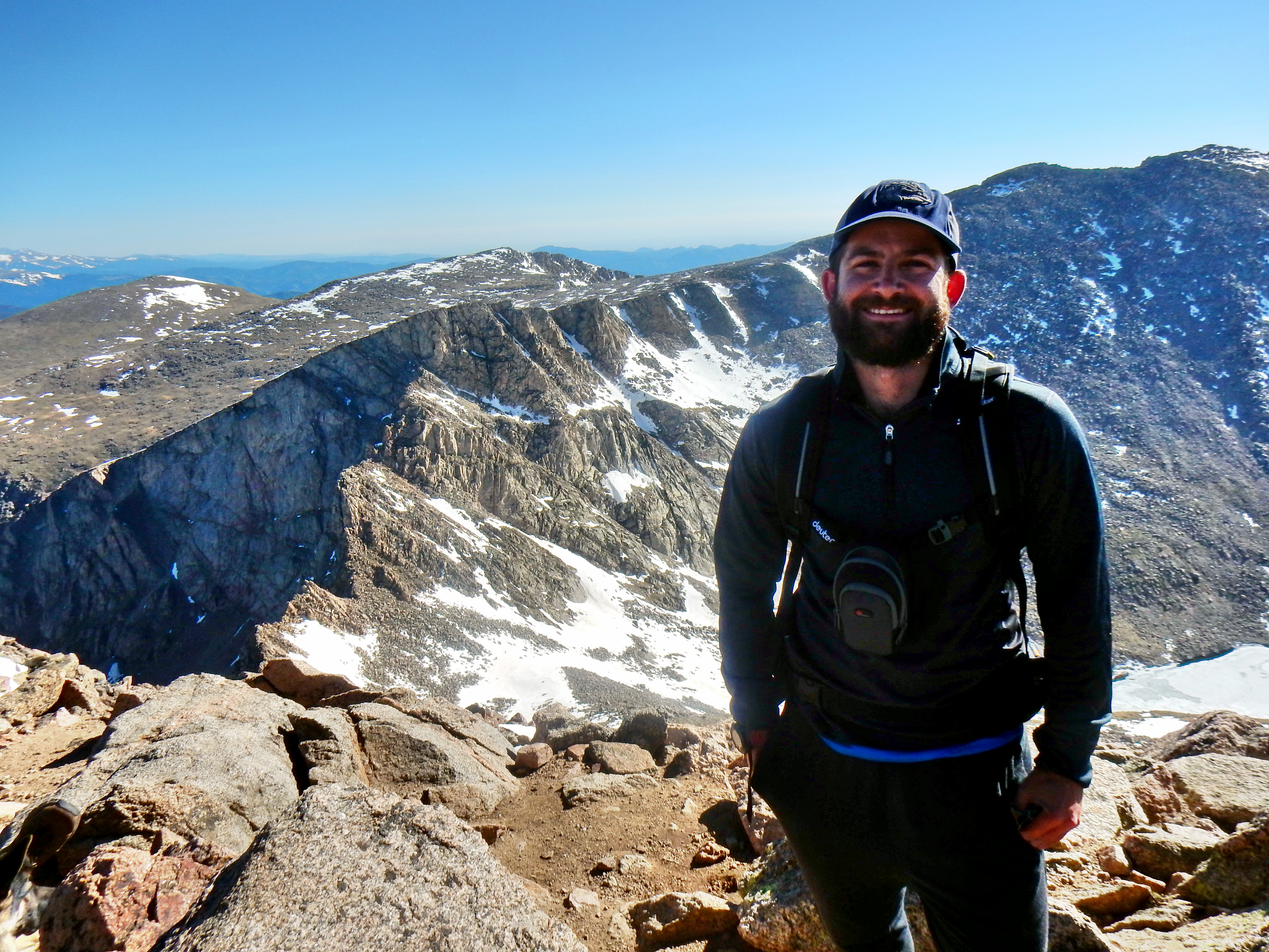
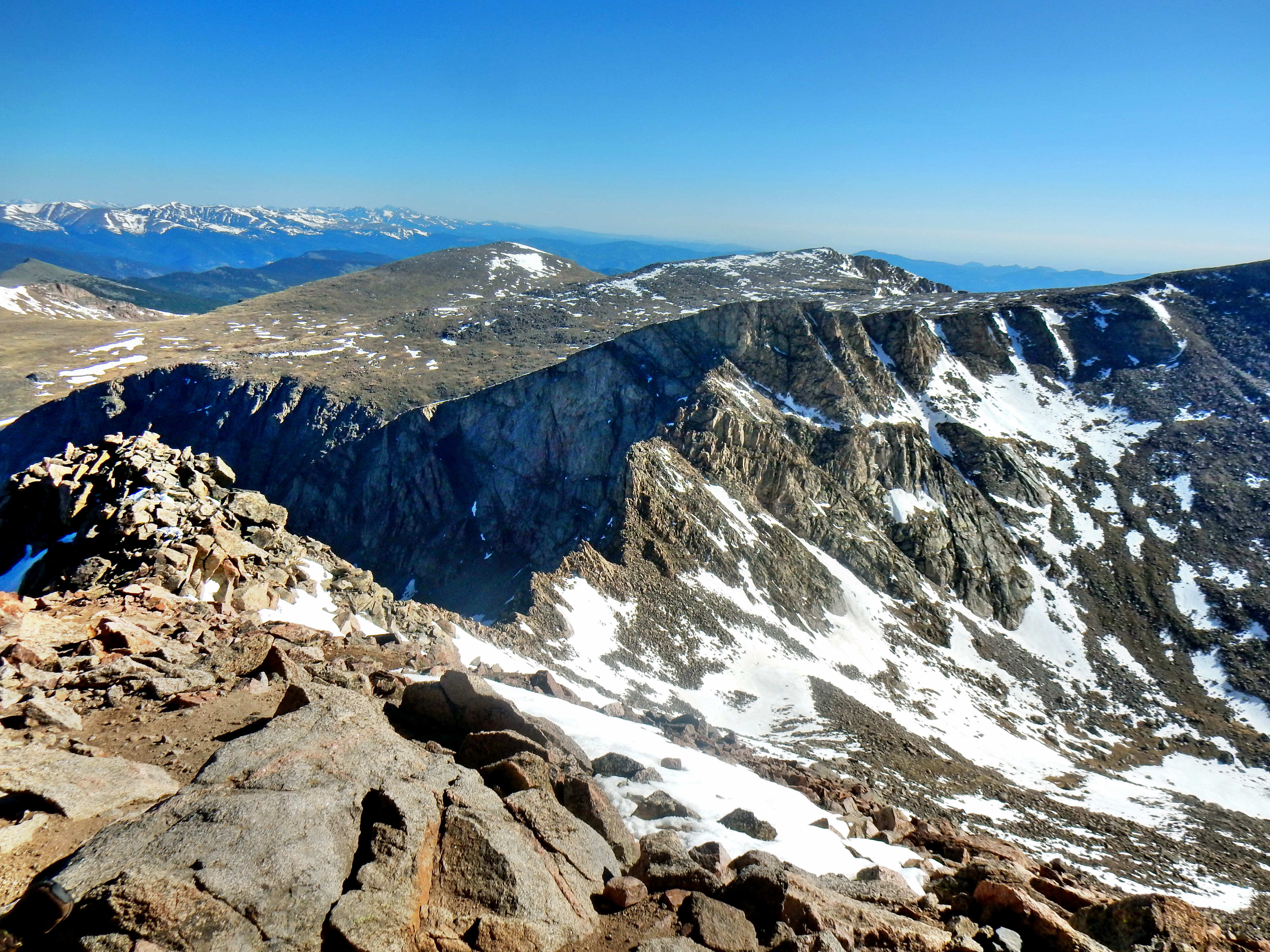
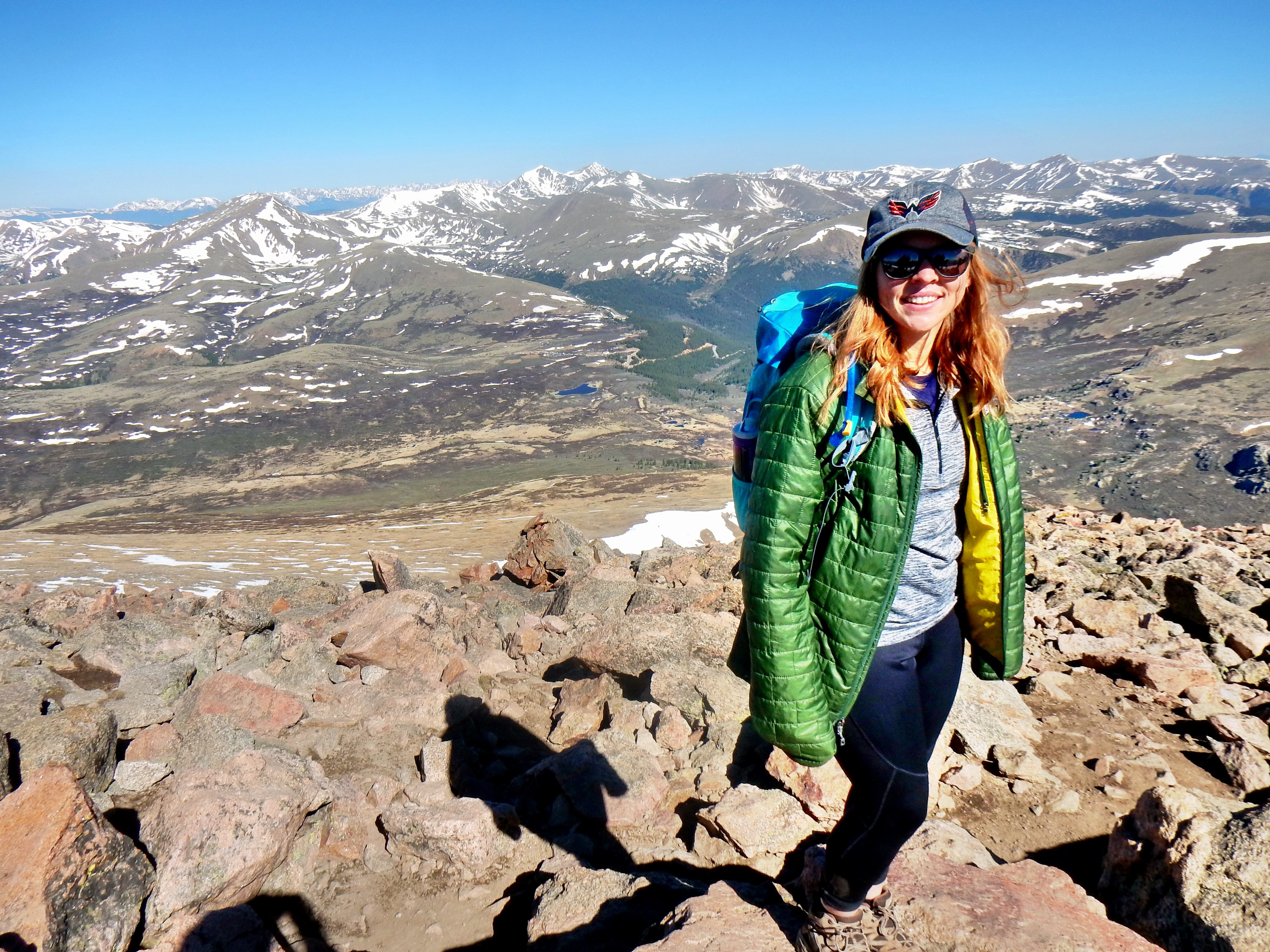
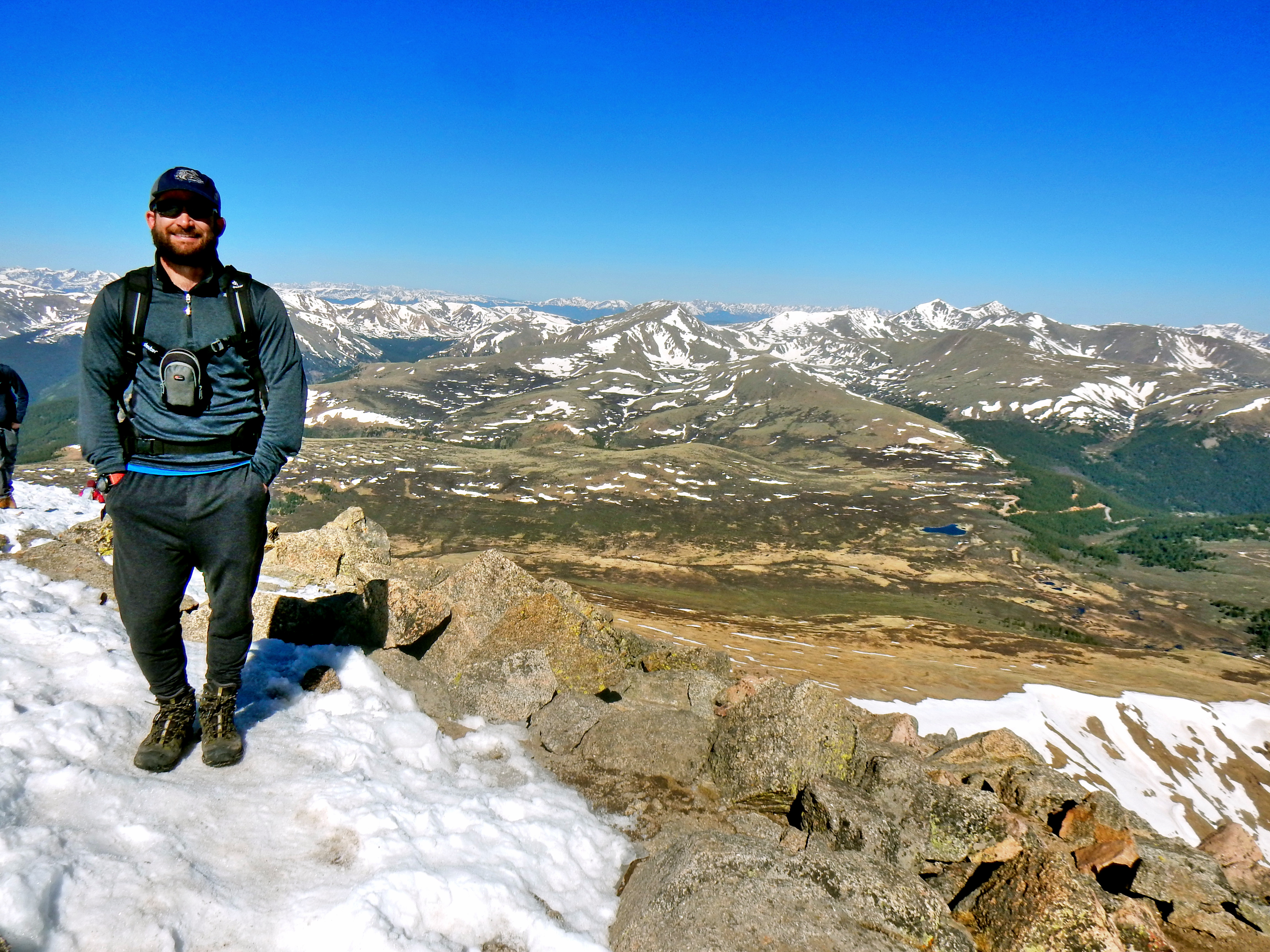
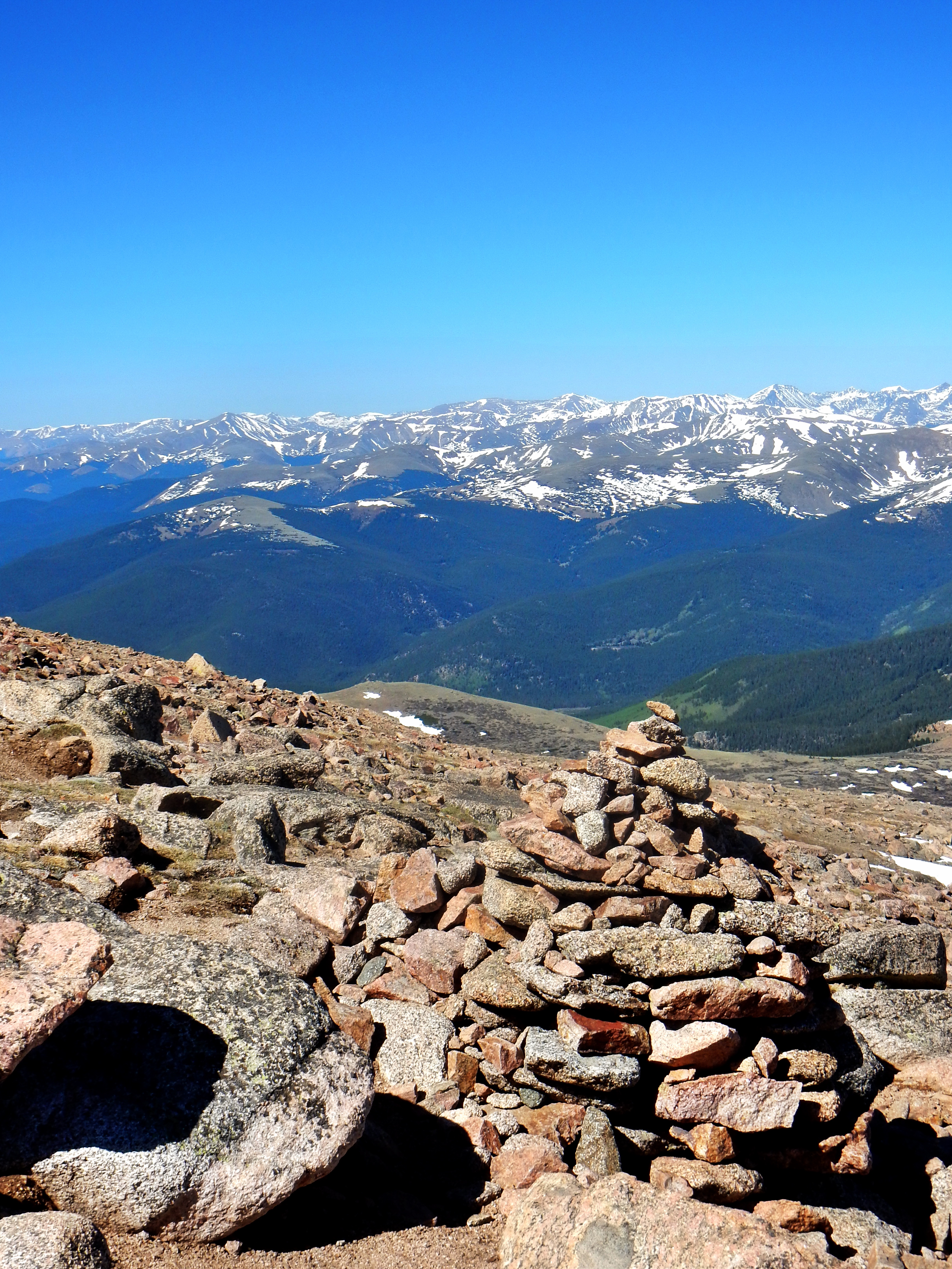
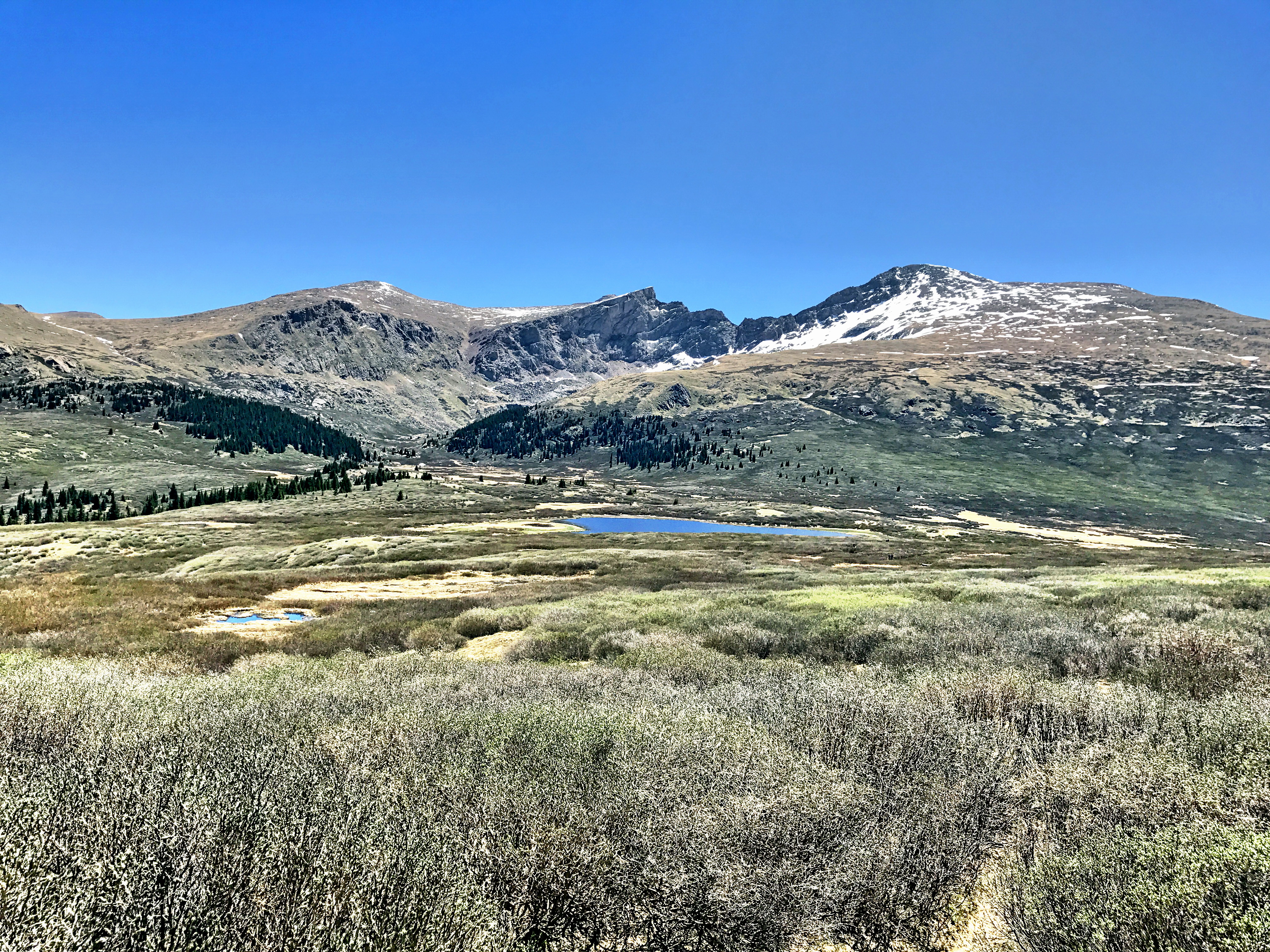
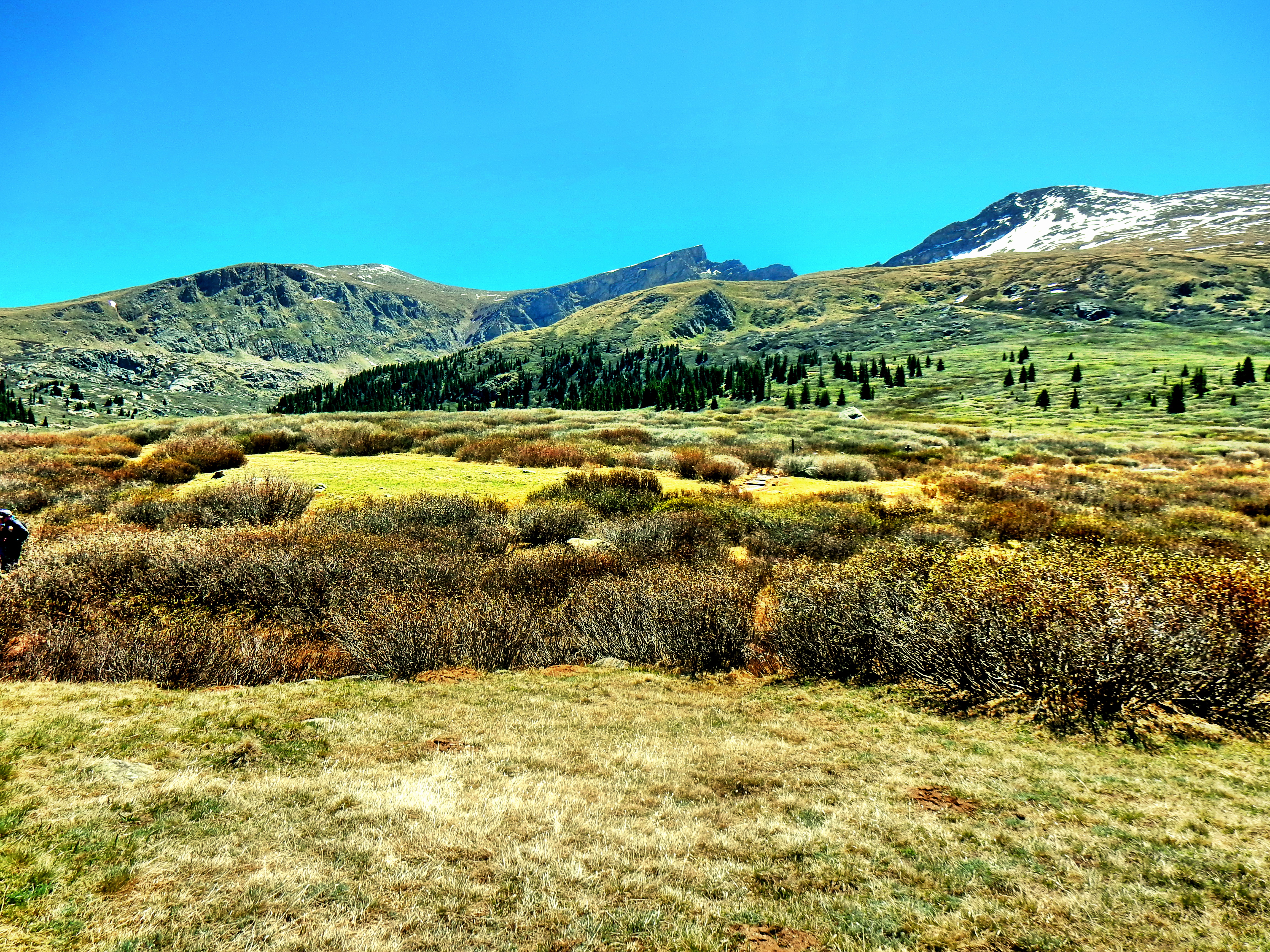
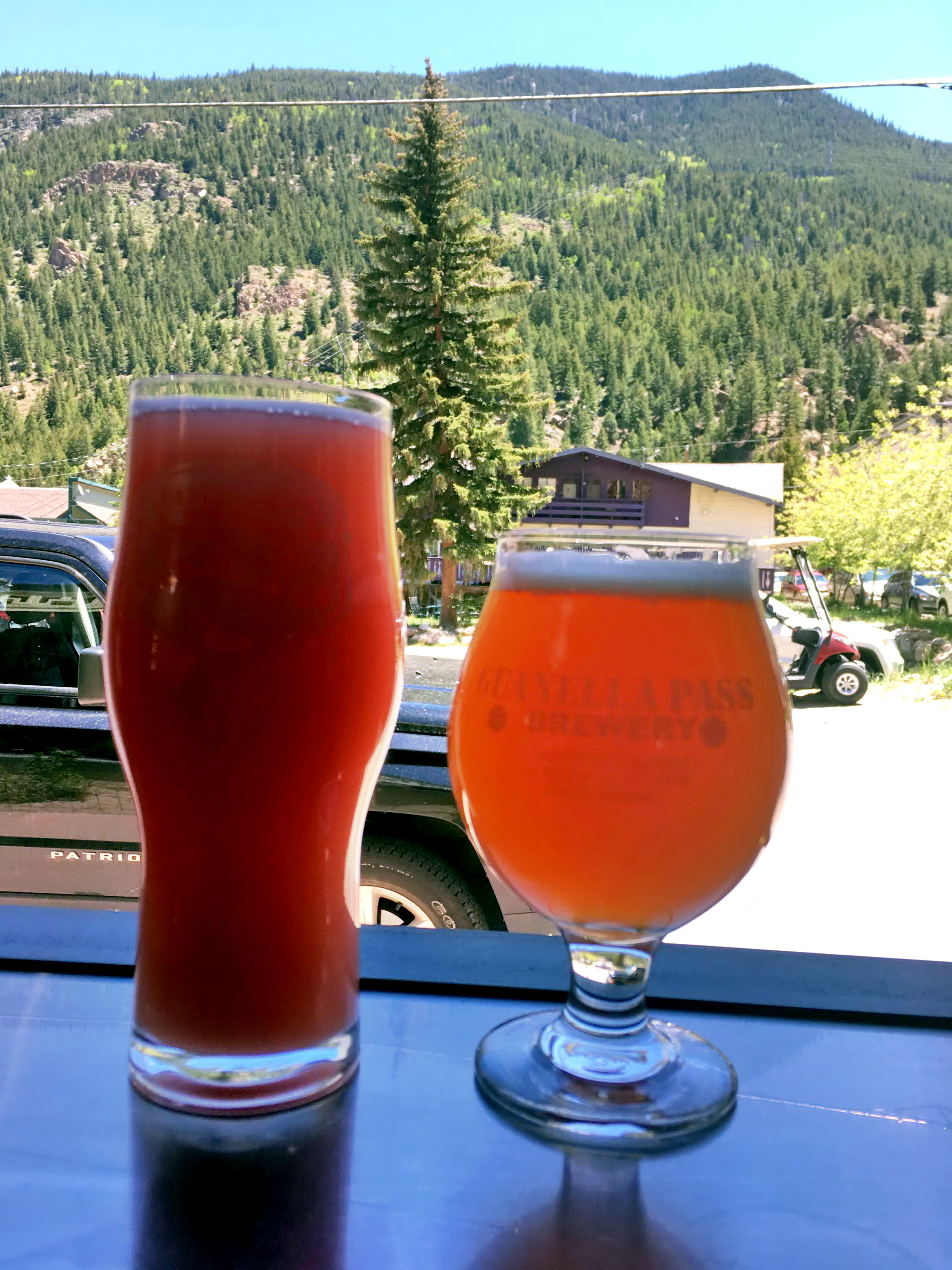
Nice and cool early in the morning as we worked through the willows.Into the wilderness!The sun is coming…also, one of the mysterious poles on the way up Bierstadt. I saw a discussion on the 14ers.com forum a while back and no one seemed to know for sure what they are marking. Oh well, I’m sure it is something relatively uninteresting so let’s keep the mystery.Looking back down and across at Square Top Mountain and friends.Sun’s out, guns out!Looking back down the route, including the small lake/pond we passed in the willows.Nice and wide trail on the way up as expected.A quick photo as we got into a little snow.Not a ton of snow, but just a little crusty stuff to keep you paying more attention. We were heading directly into the sun, so another picture aimed downhill.The final push to the summit.Pike’s Peak (14,110′) in the far distanceA little icy, but not enough for spikes or anything.An interesting vantage point just before the final summit push.14,060′Mt. Evans behind us.Sandwiches up!BootsSummit OverviewMt. Evans (14,264′)Summit shot with Mt. Evans in the background…shooting directly into the sun.Summit shot with the Sawtooth behind me. It was crazy to think about going through there with like 70mph winds with my Dad years ago.Looking over the back side toward Rosalie (I think).The SawtoothOn the way back down…On the way back down…Big cairn mid-slopeMuch better lighting in the afternoon back near the trailhead.Another overview picture very early on in the hike.One more for the road.Not that great of a picture, but stop by Guanella Pass Brewery on the way back down! Or, go check out the ice cream and fudge place.