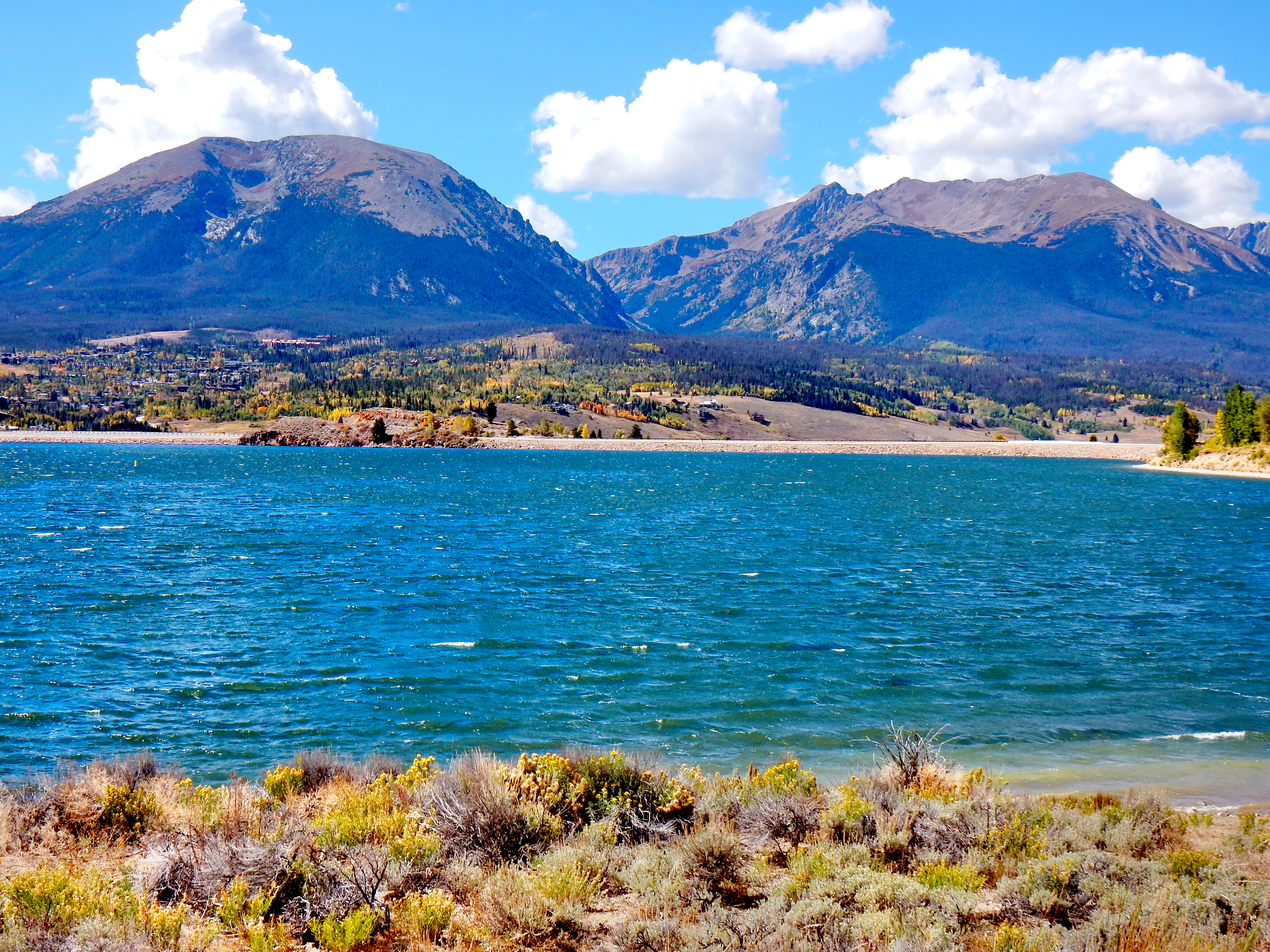
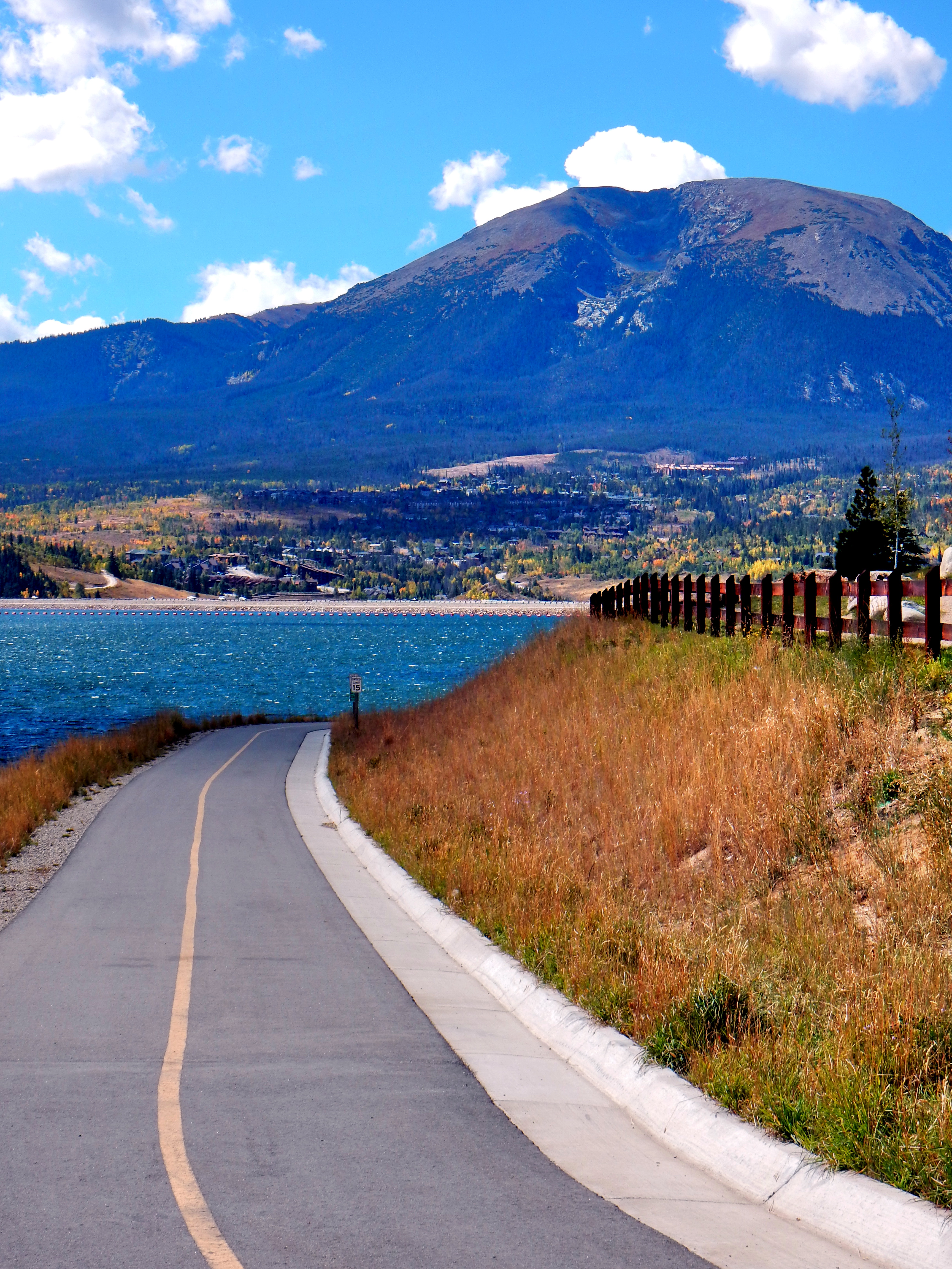
Buffalo Mountain is a hike that I’ve wanted to do for quite a while now, but today was the day I finally went for it! Why did I want to climb Buffalo Mountain? Well, I’ve looked up at Buffalo Mountain countless times when I’ve headed up to Summit County skiing, hiking, or driving for many years and it is a cool looking mountain. The unique rounded summit serves as a beautiful backdrop for Lake Dillon and I’ve been curious about the hike for years. There was nothing really preventing me from hiking up Buffalo Mountain all these years, but I somehow kept selecting other peaks. Well, I really enjoyed this hike so I’m glad I finally checked it out!
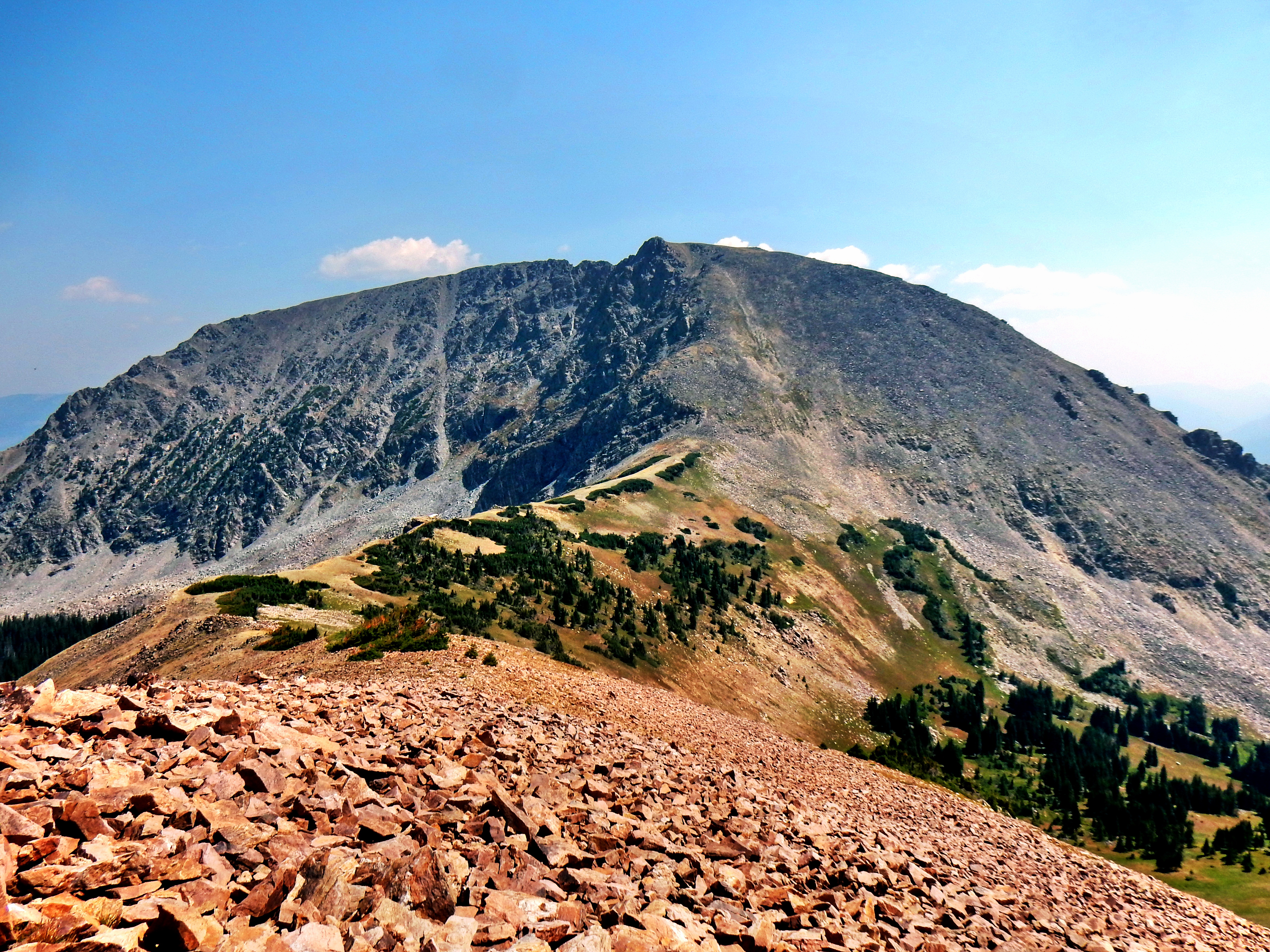
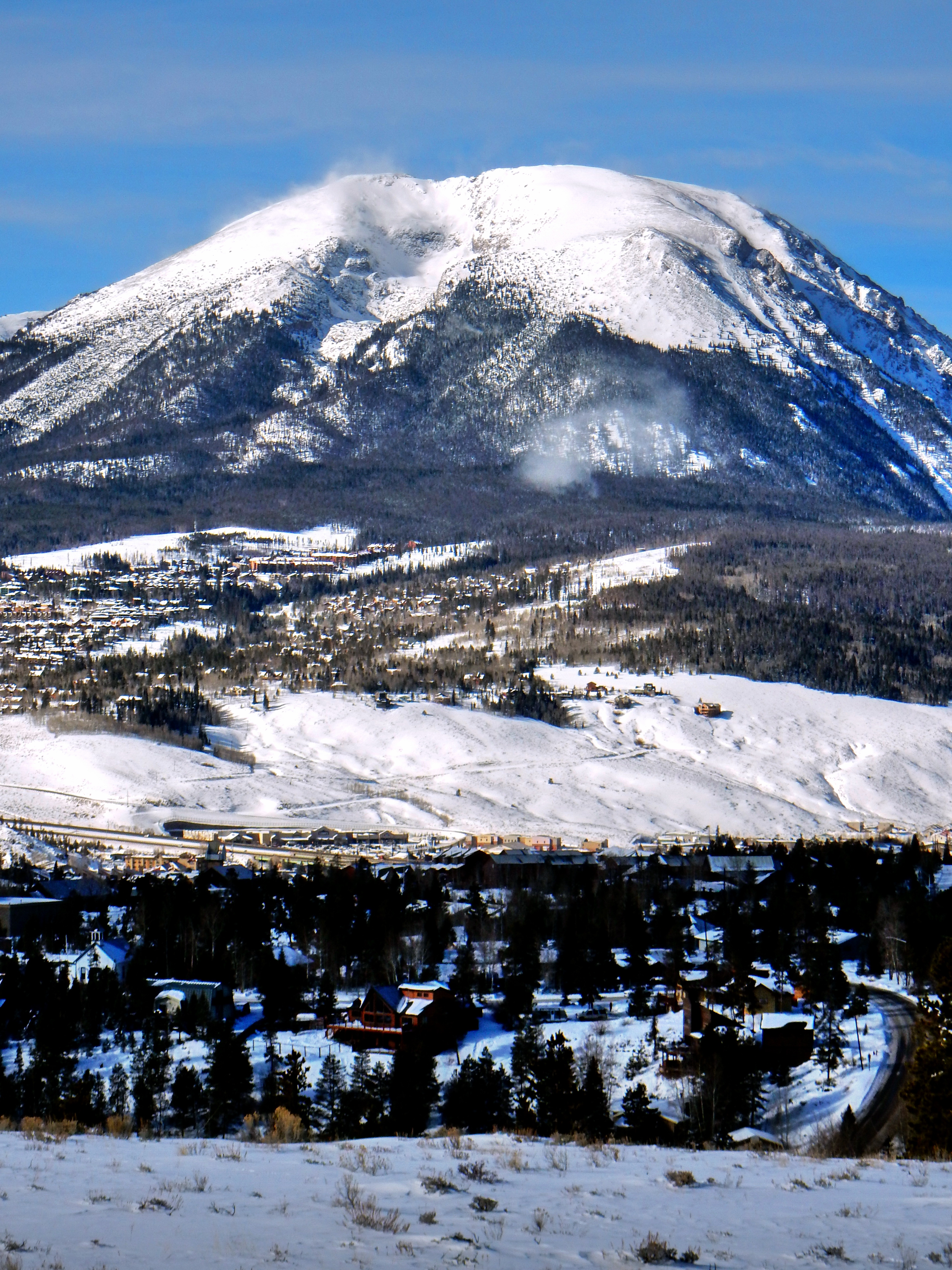
Before we jump into the hike here are a few pictures of Buffalo Mountain for context:
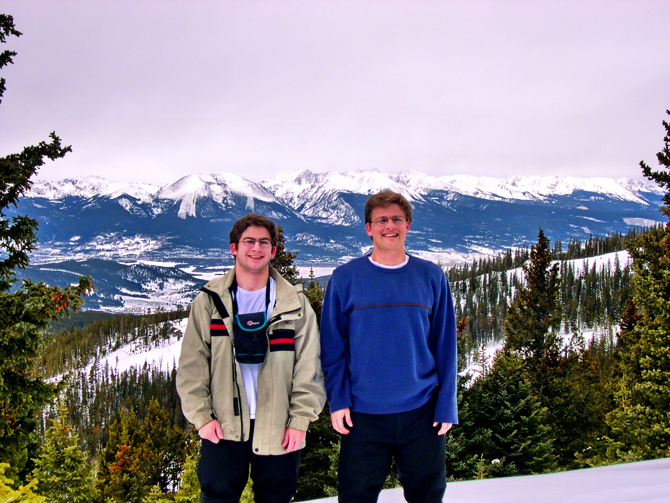
Back to 2004! Here is a picture of my brother and I snowshoeing from the top of Keystone (my Dad took the picture). We stared looked down at Buffalo Mountain a lot skiing at Keystone over the years!From the short hike up Tenderfoot Mountain (11,443′) last winterFrom the short hike up Tenderfoot Mountain (11,443′) last winterAfter the Breckenridge Road Marathon in September 2015.After the Breckenridge Road Marathon in September 2015.
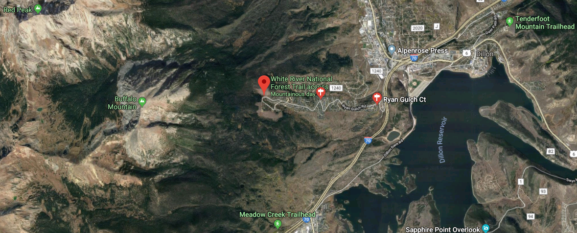
Alright, let’s get back on track now…My initial plan for the day was to hike up Buffalo Mountain from Ryan Gulch which is right out of town (see the red pin below). The hike from this trailhead is very steep gaining almost 3,000ft over 2.8 miles (Just under 6 miles roundtrip). However, as I was driving up I-70, I felt the need to increase the ratio of hiking miles to drive time! So, I decided to start from the Meadow Creek Trailhead (see middle of map). This trailhead start is accessed via the Frisco exit…just go straight at the roundabout (or use a map app, you know). This trail is a much longer approach to Buffalo Mountain via Eccles Pass, but it was a great trail and a lot of fun. I ended up with 15.6 miles and 5,308 ft of gain roundtrip, which was more than I bargained for!
Side note: If you want a nice short hike, go to the Tenderfoot Mountain Trailhead in the upper right of this map. It is just a few miles and gains only about 500ft, while providing great views of Lake Dillon.
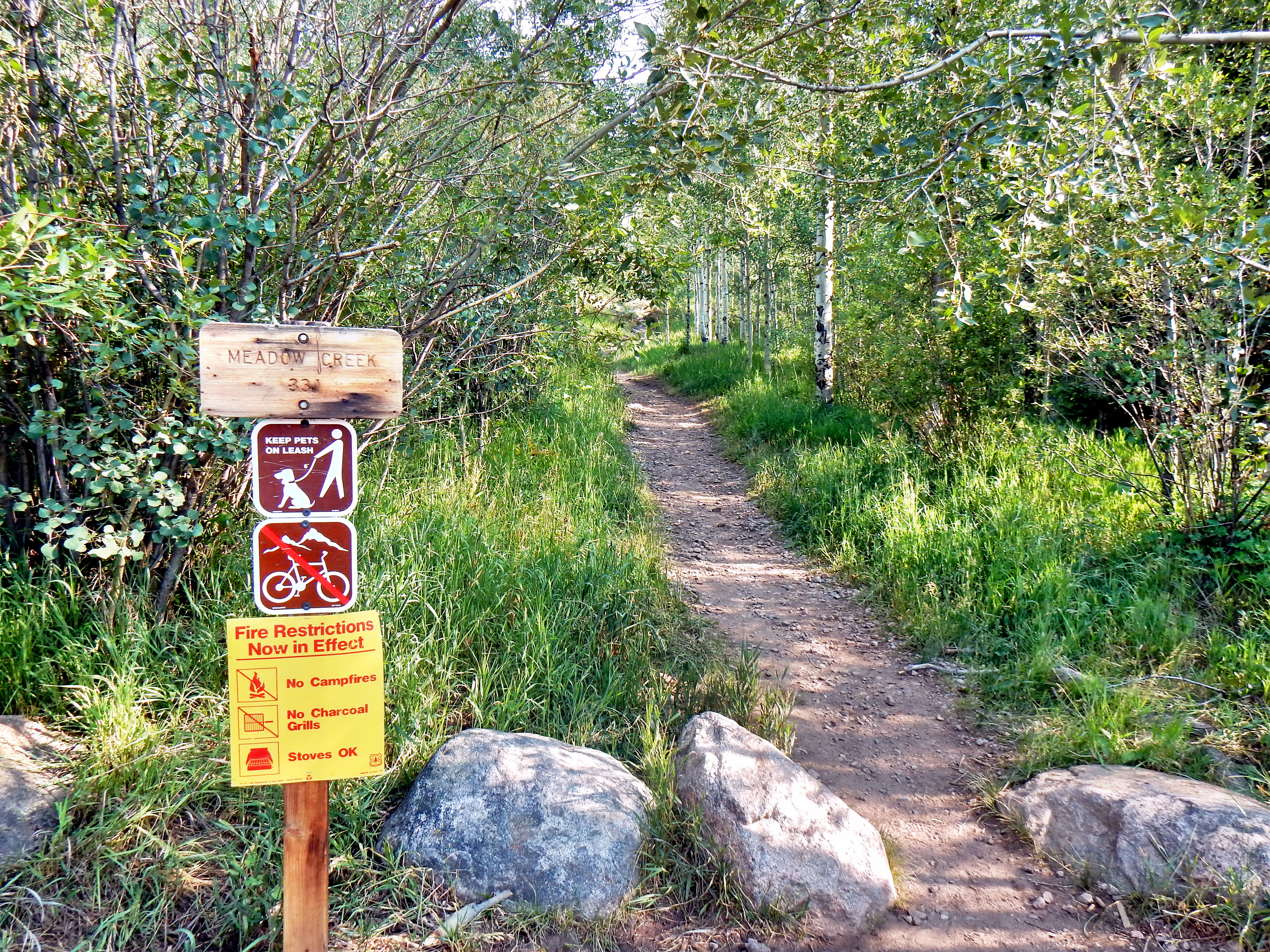
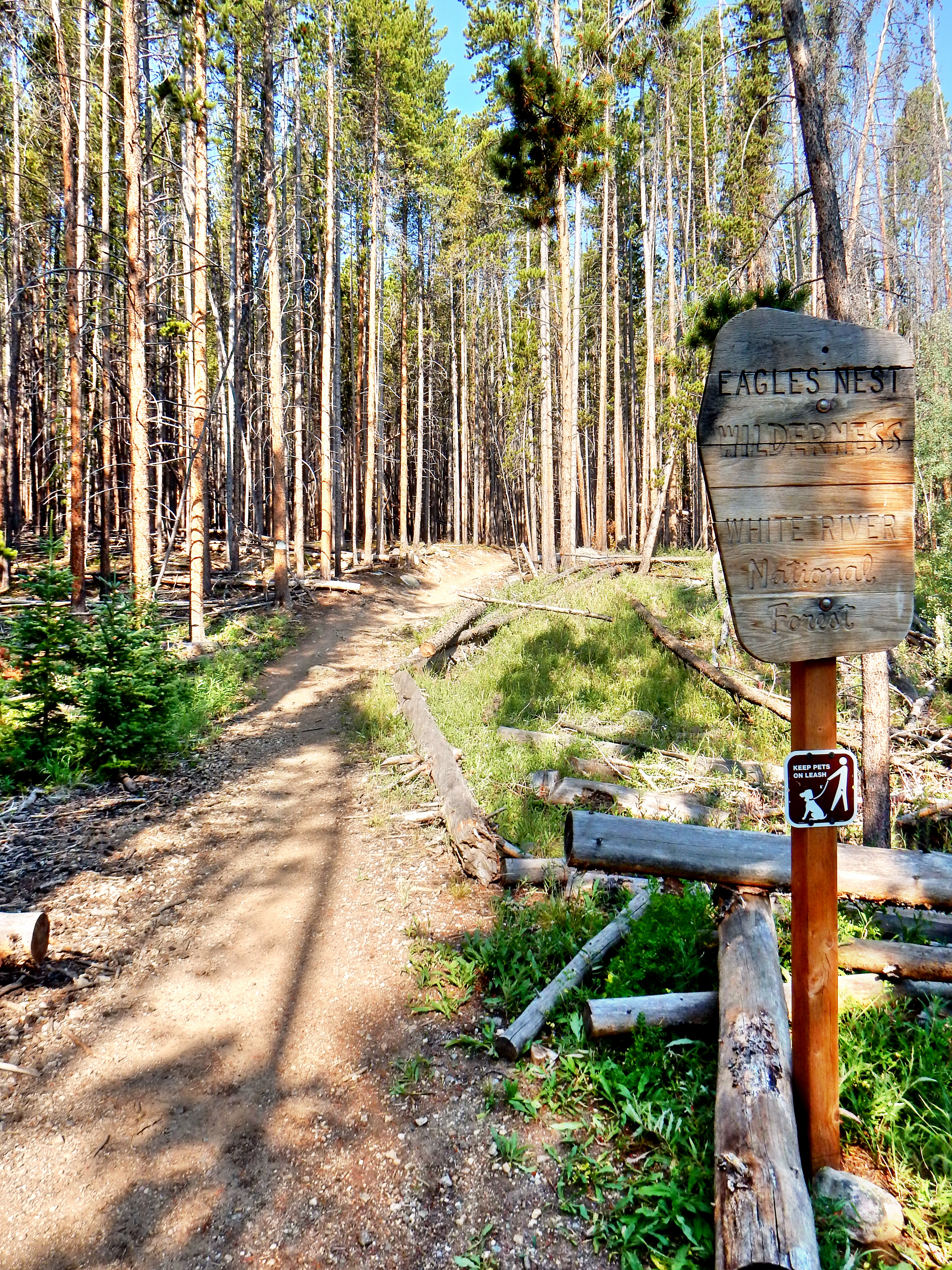
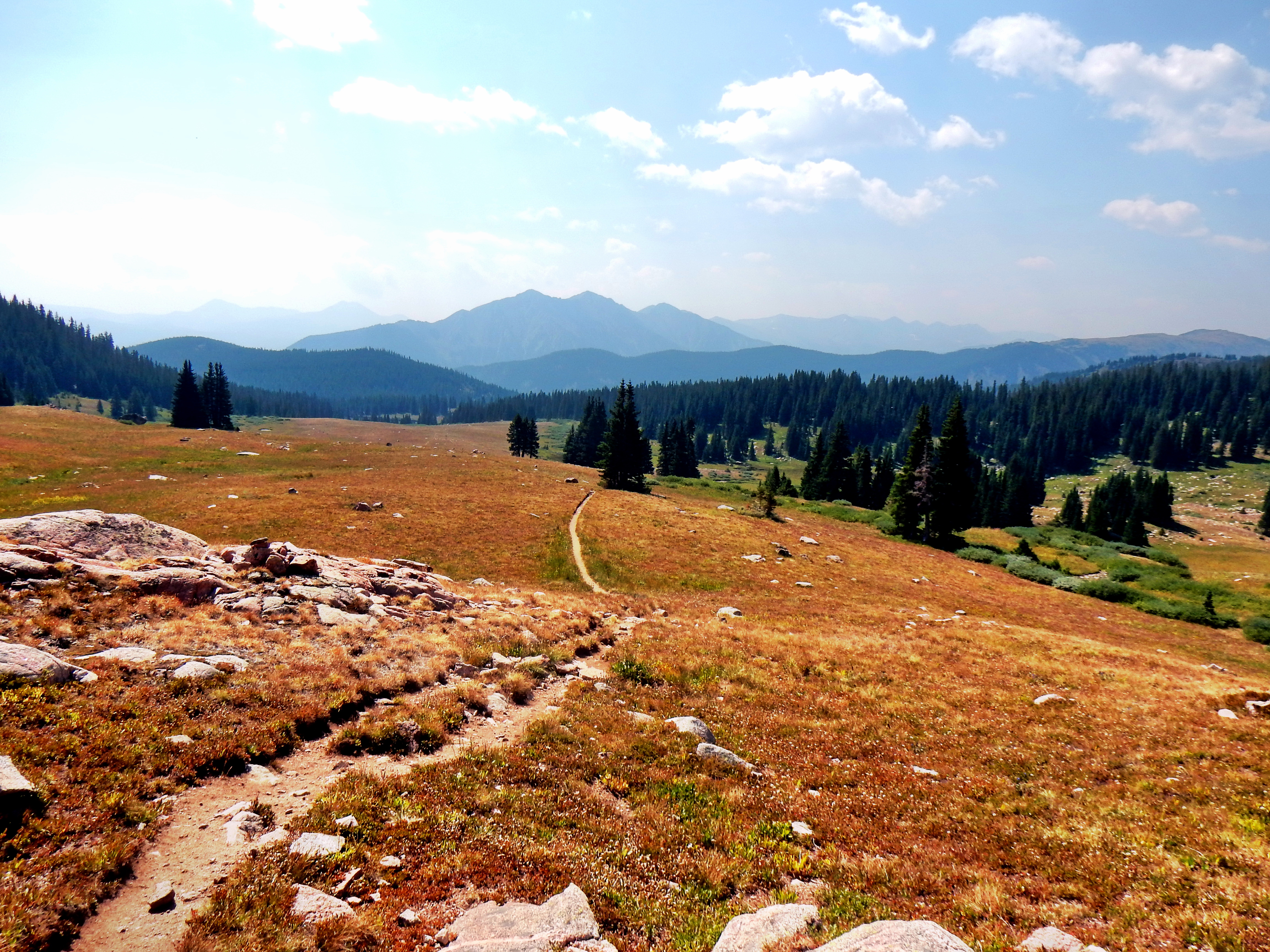
The route up to Eccles Pass is fairly straight forward, so let’s just cruise through with some pictures.
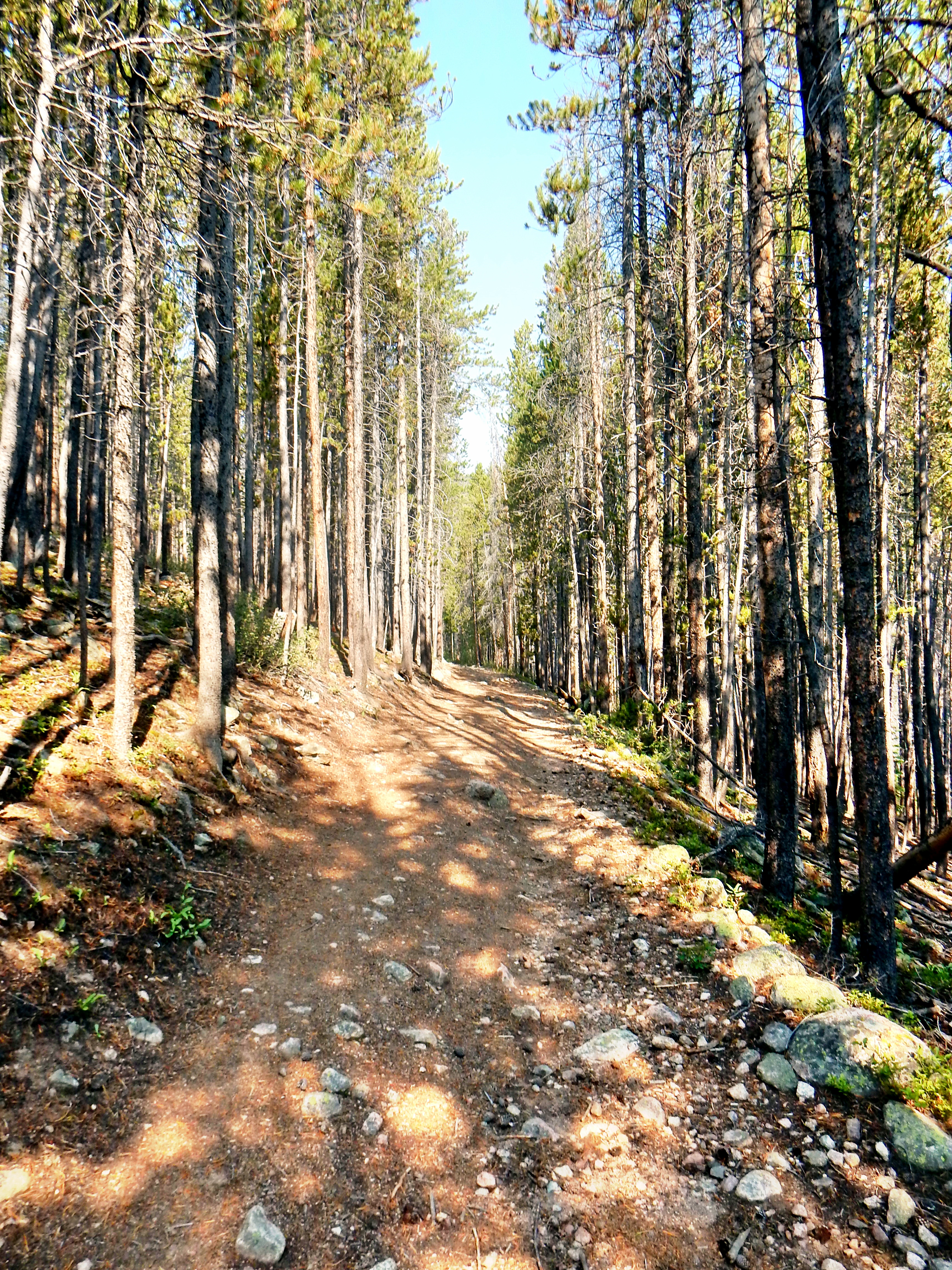
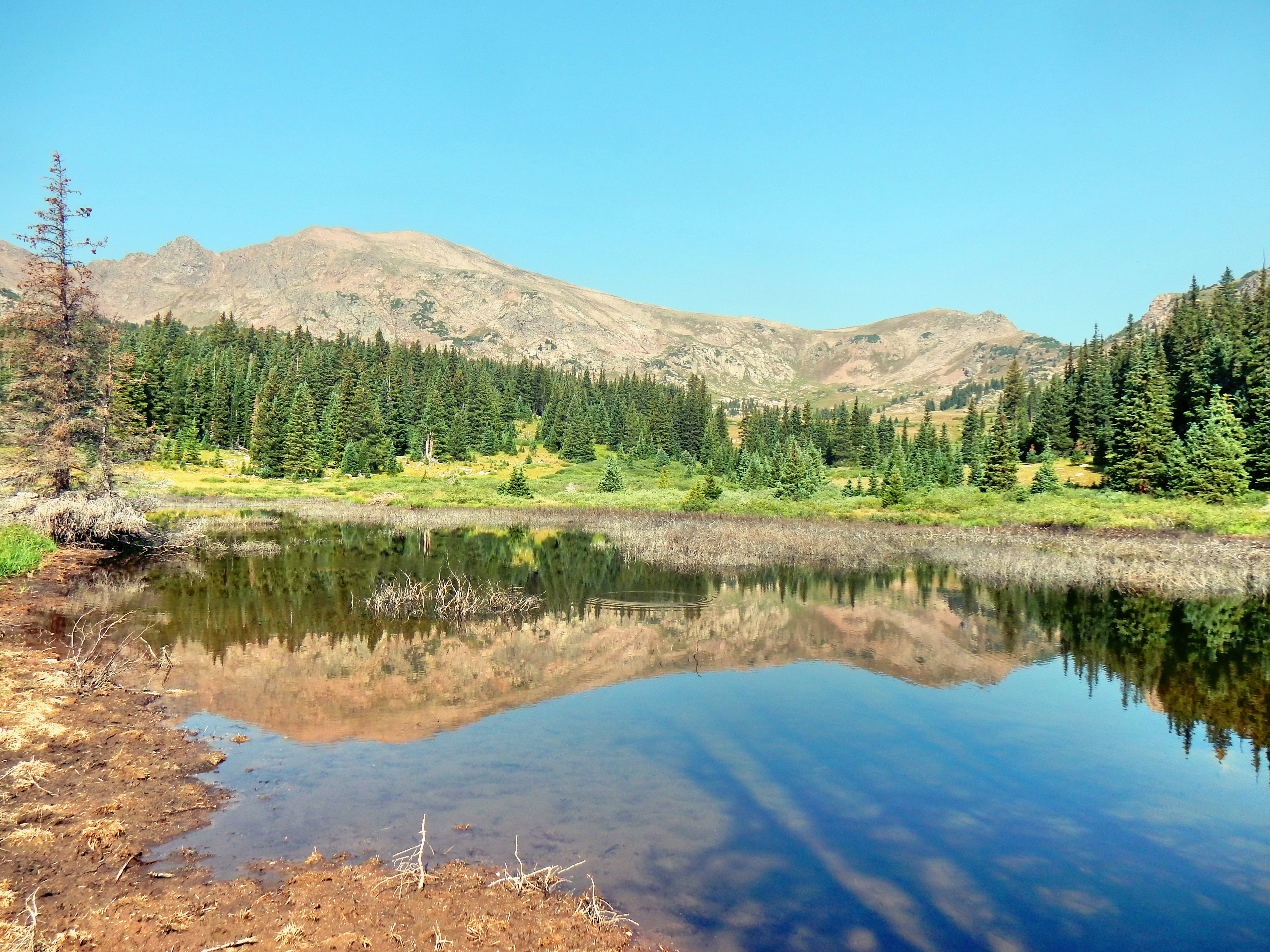
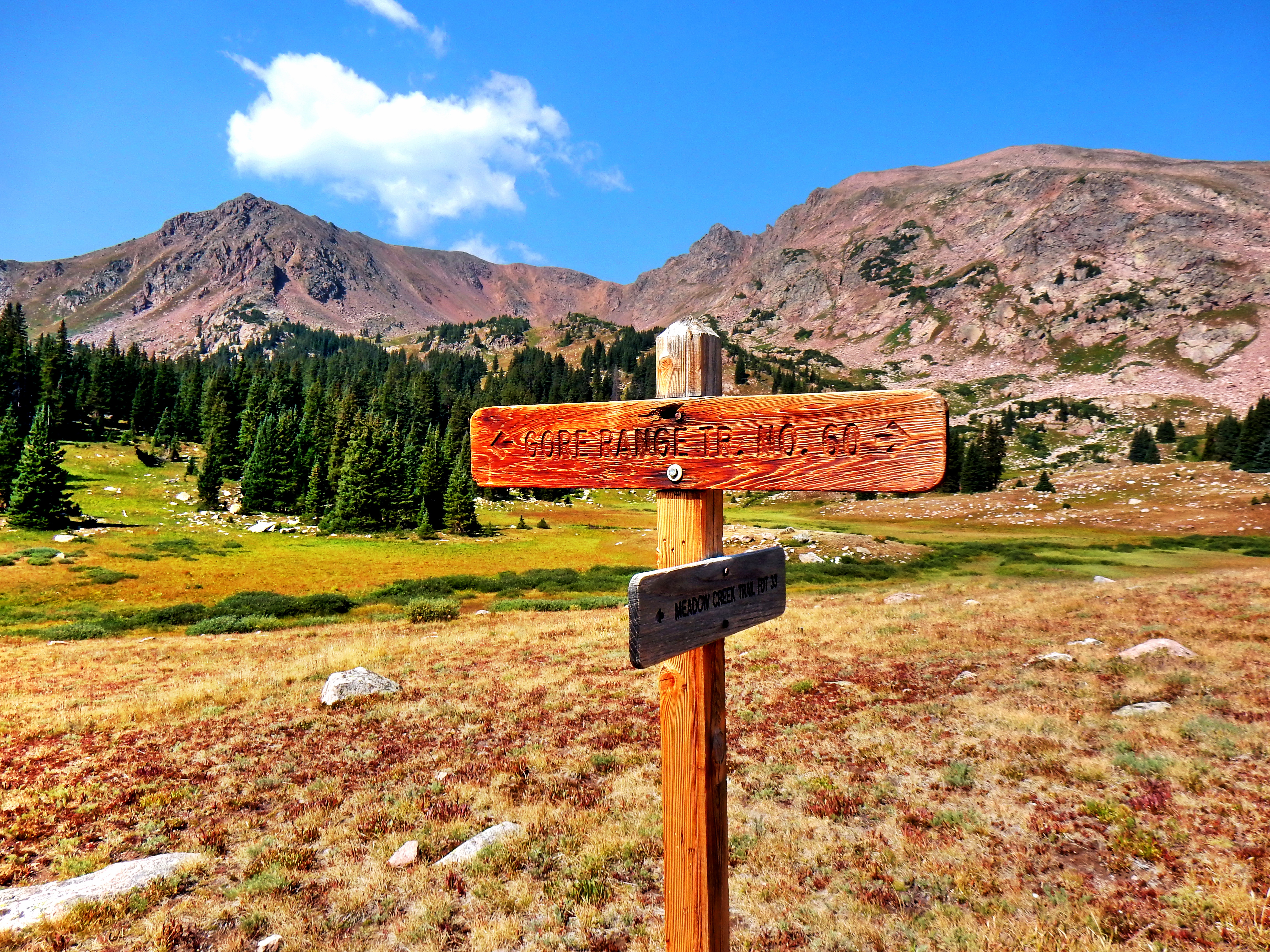
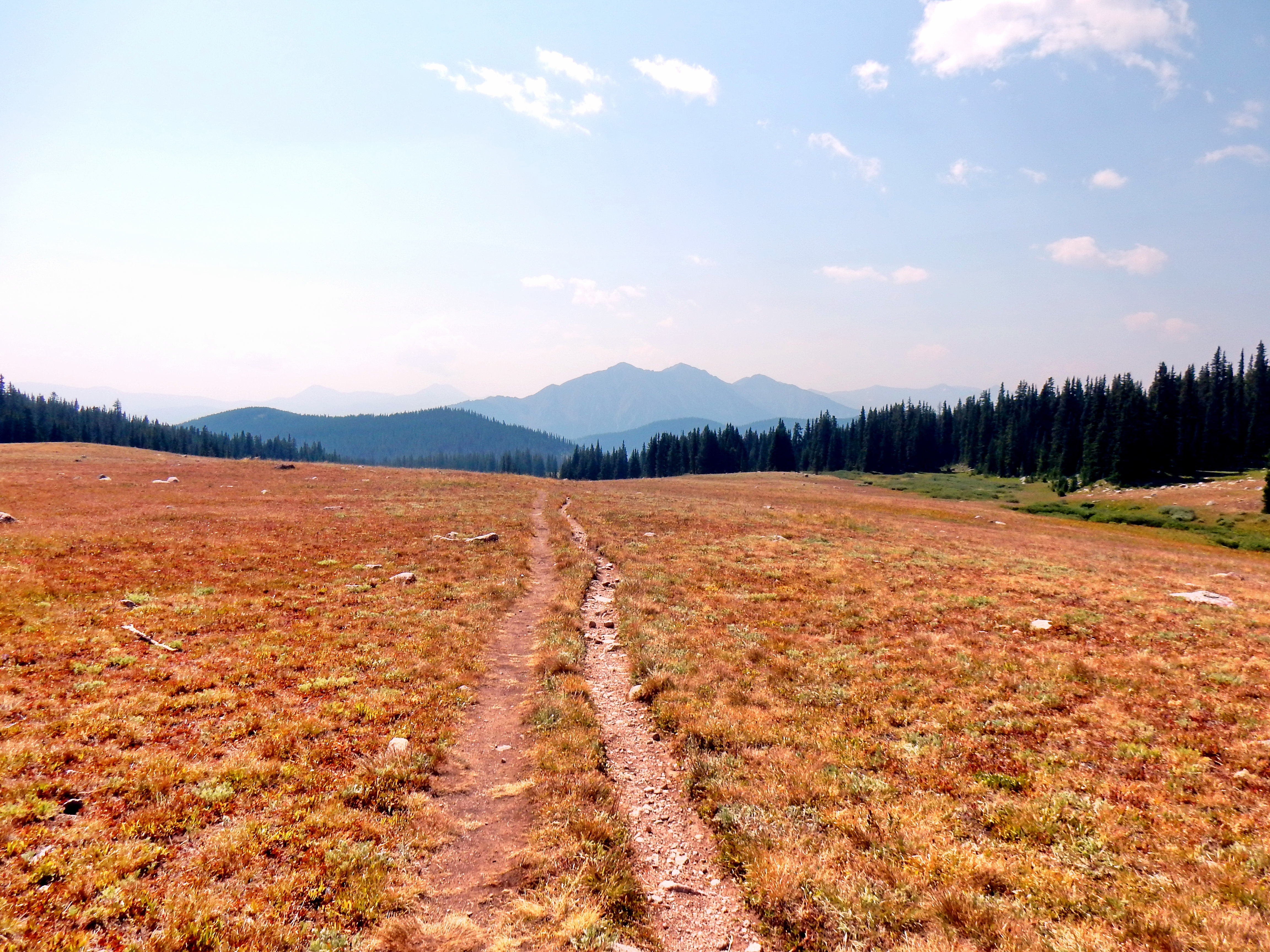
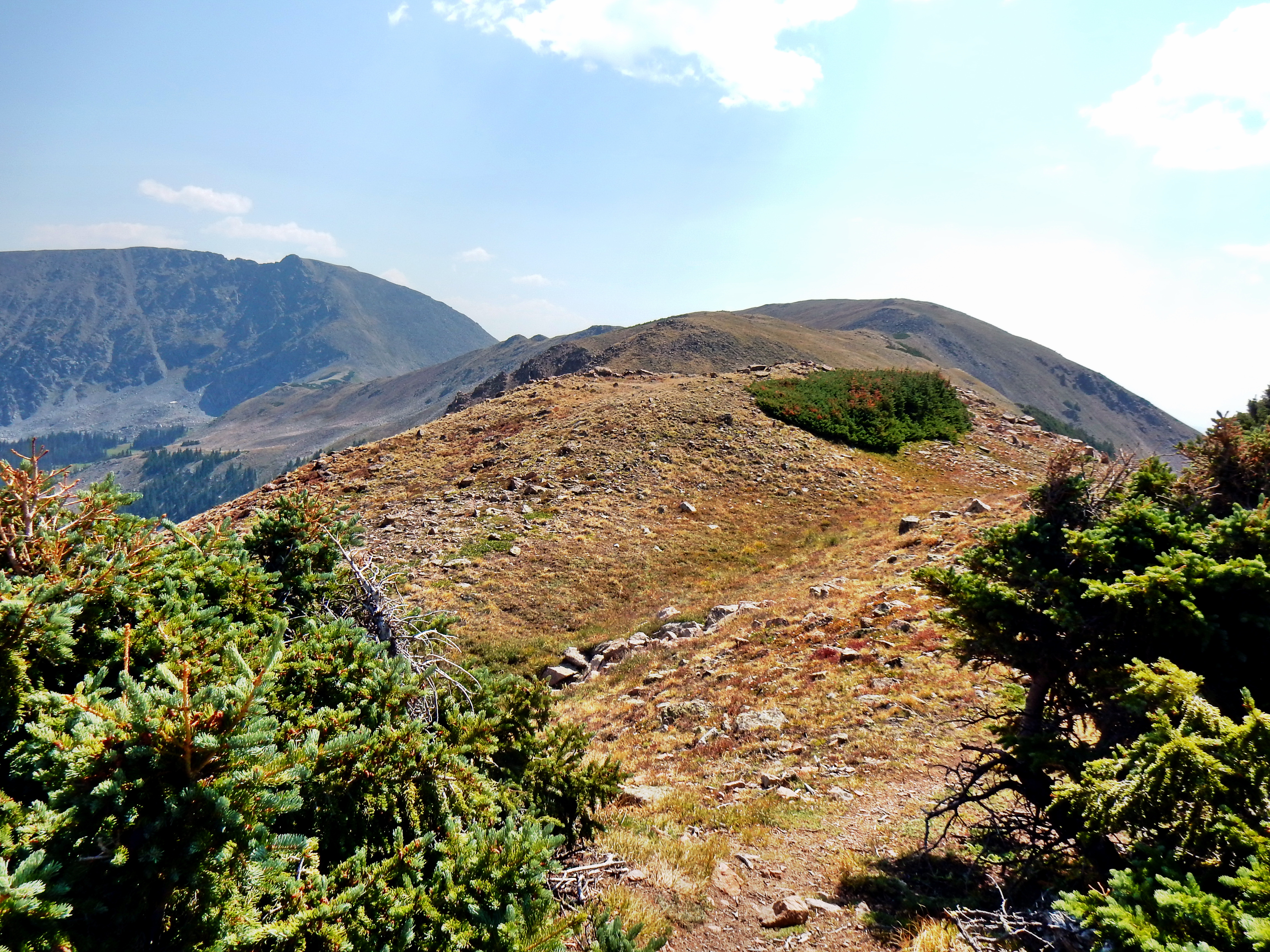
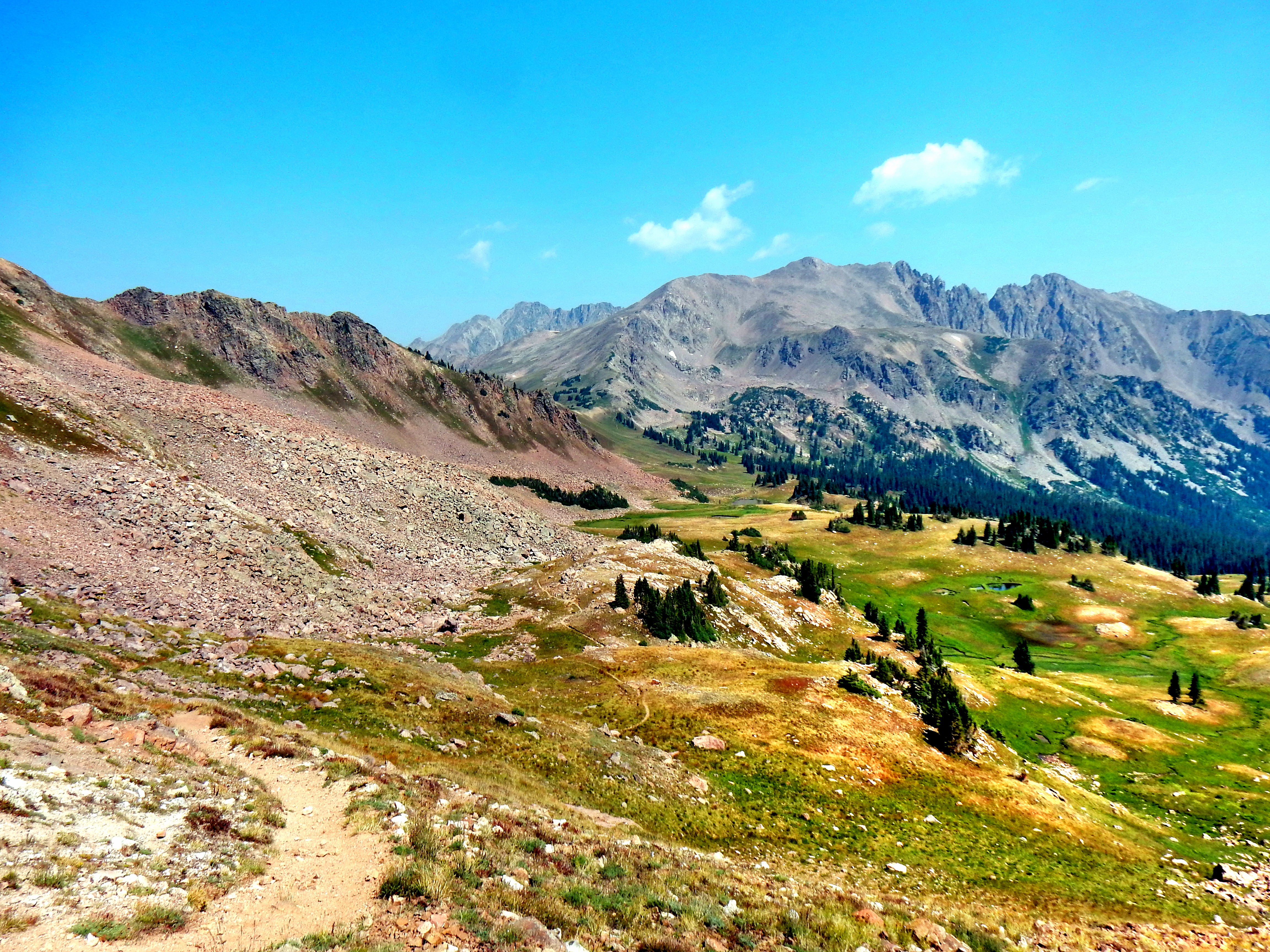
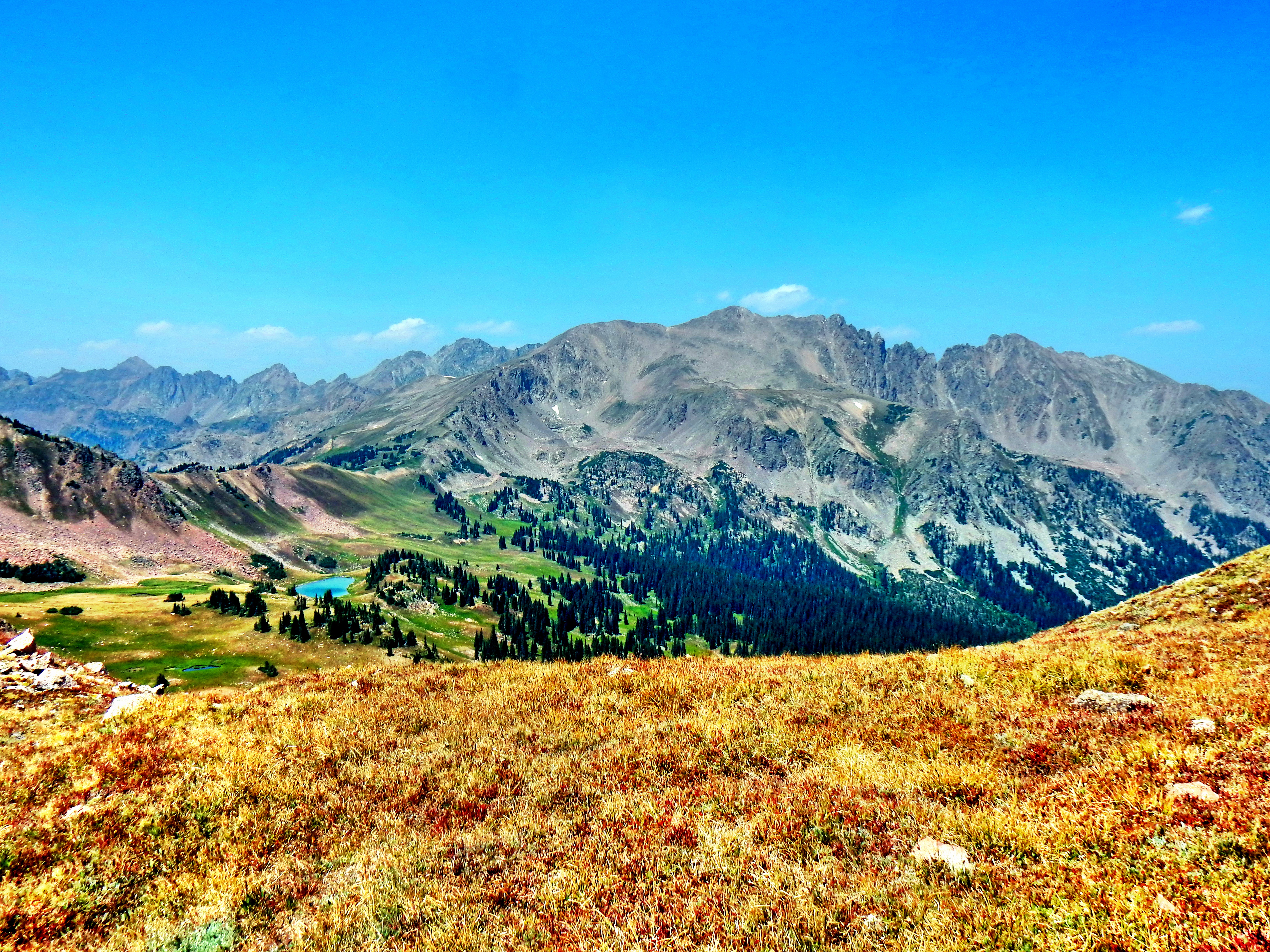
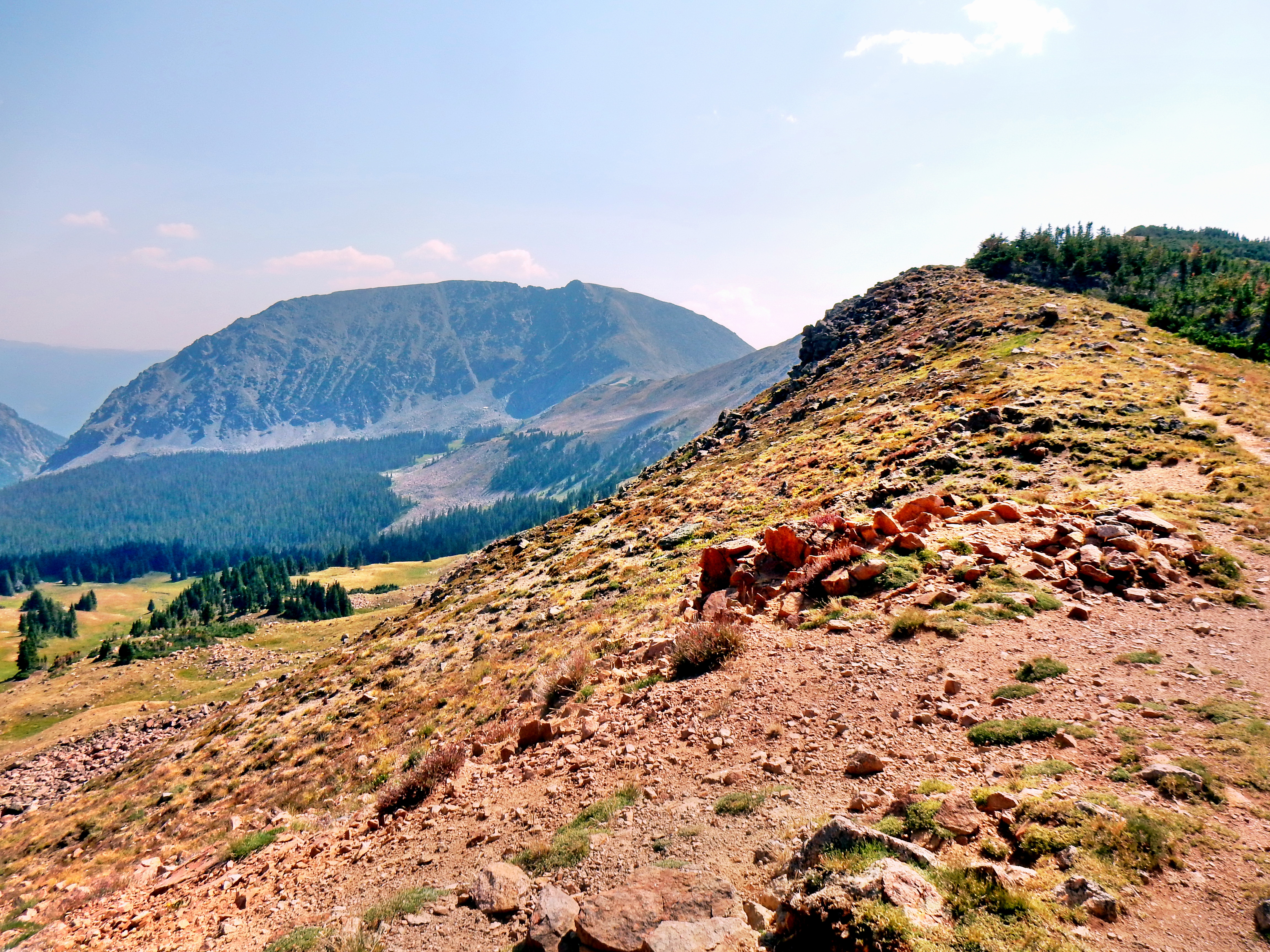
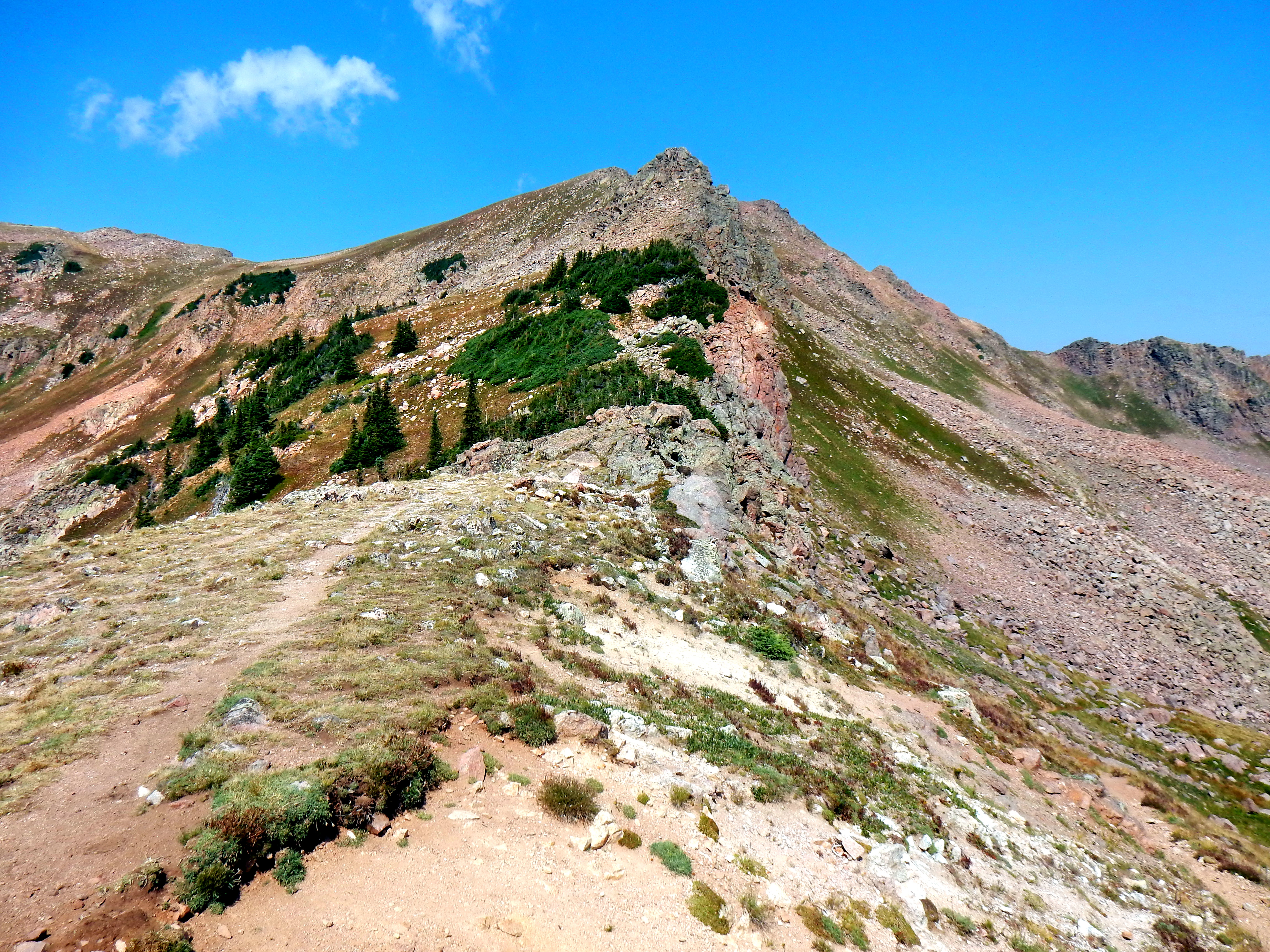
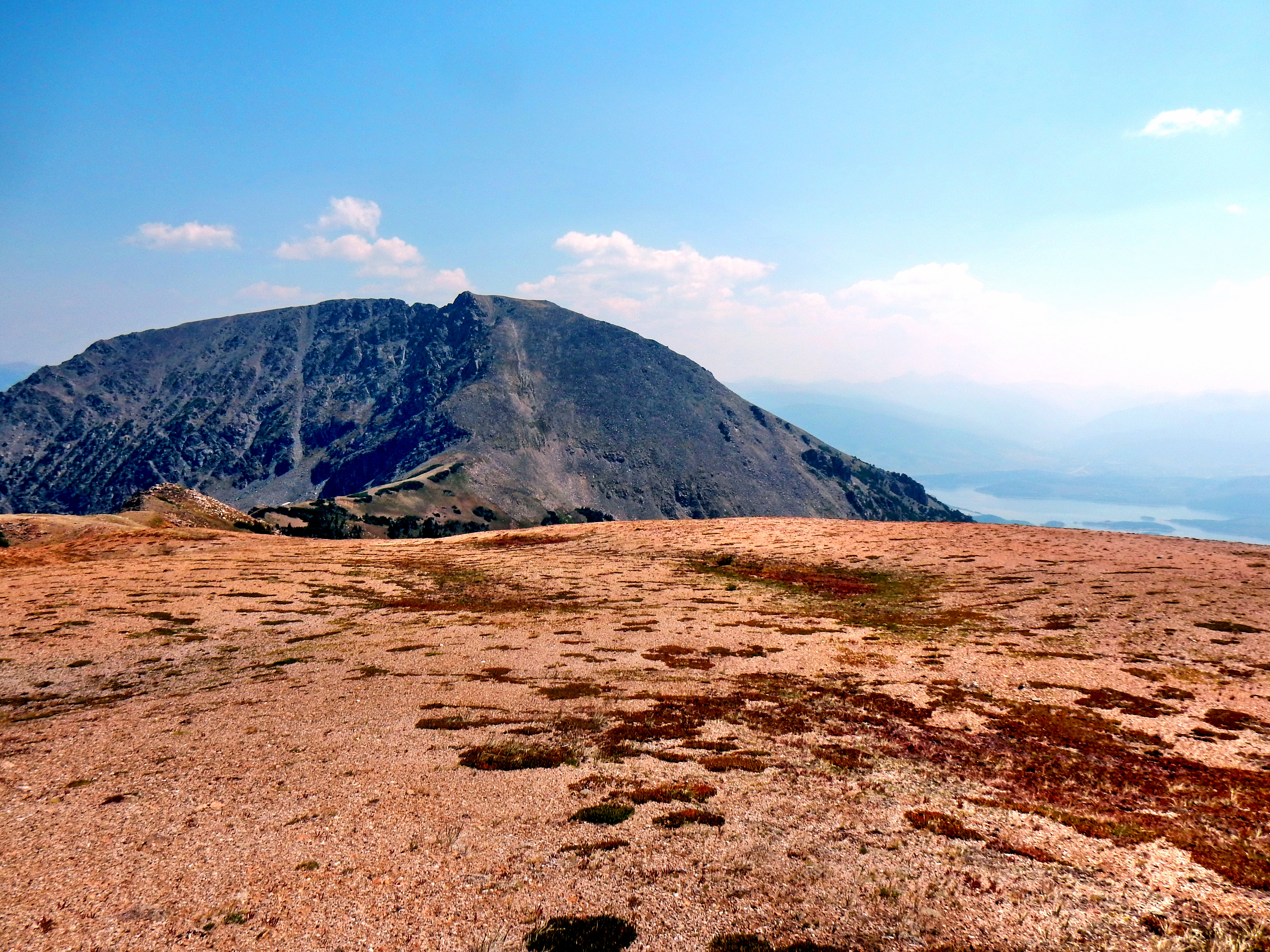
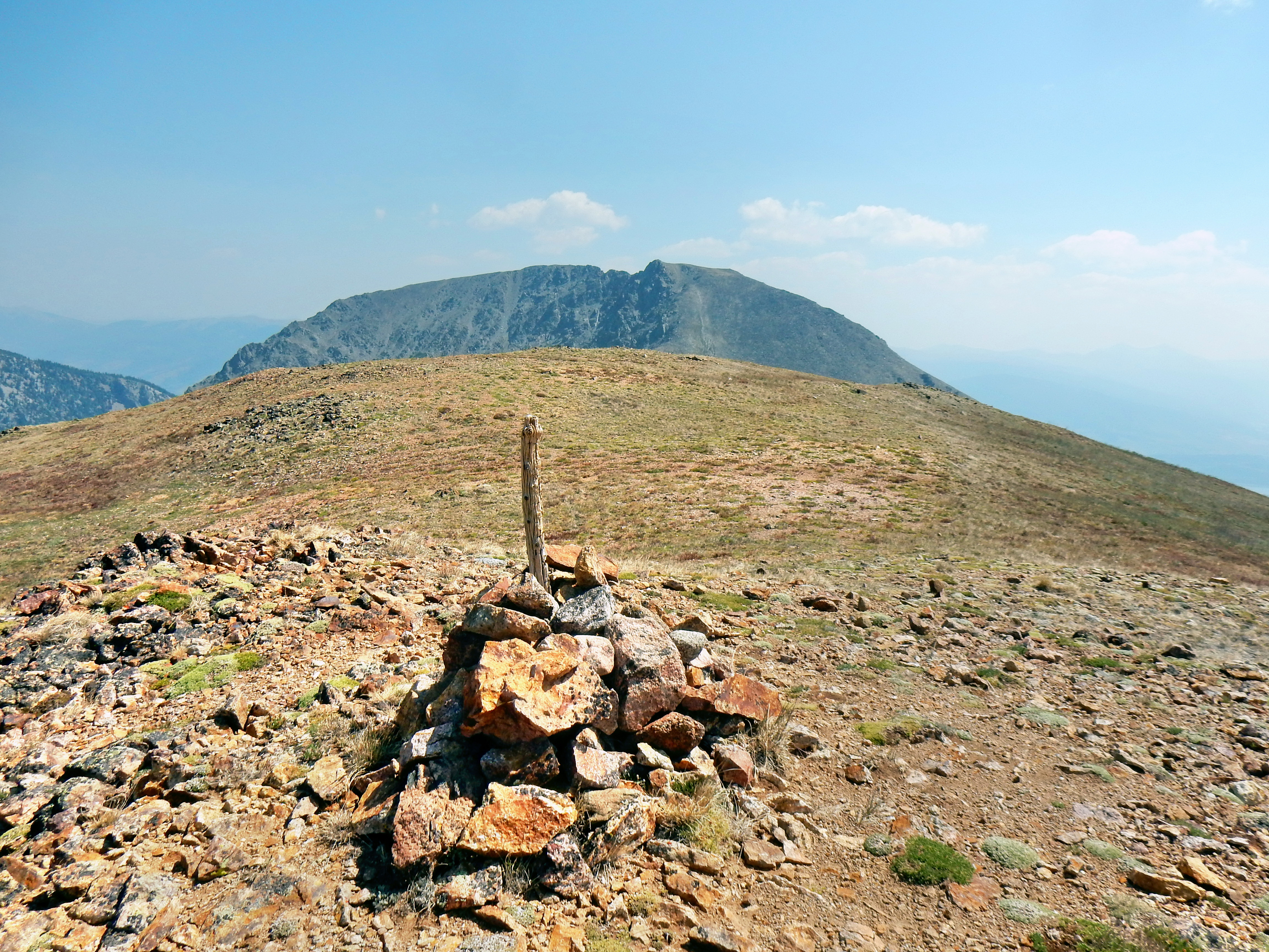
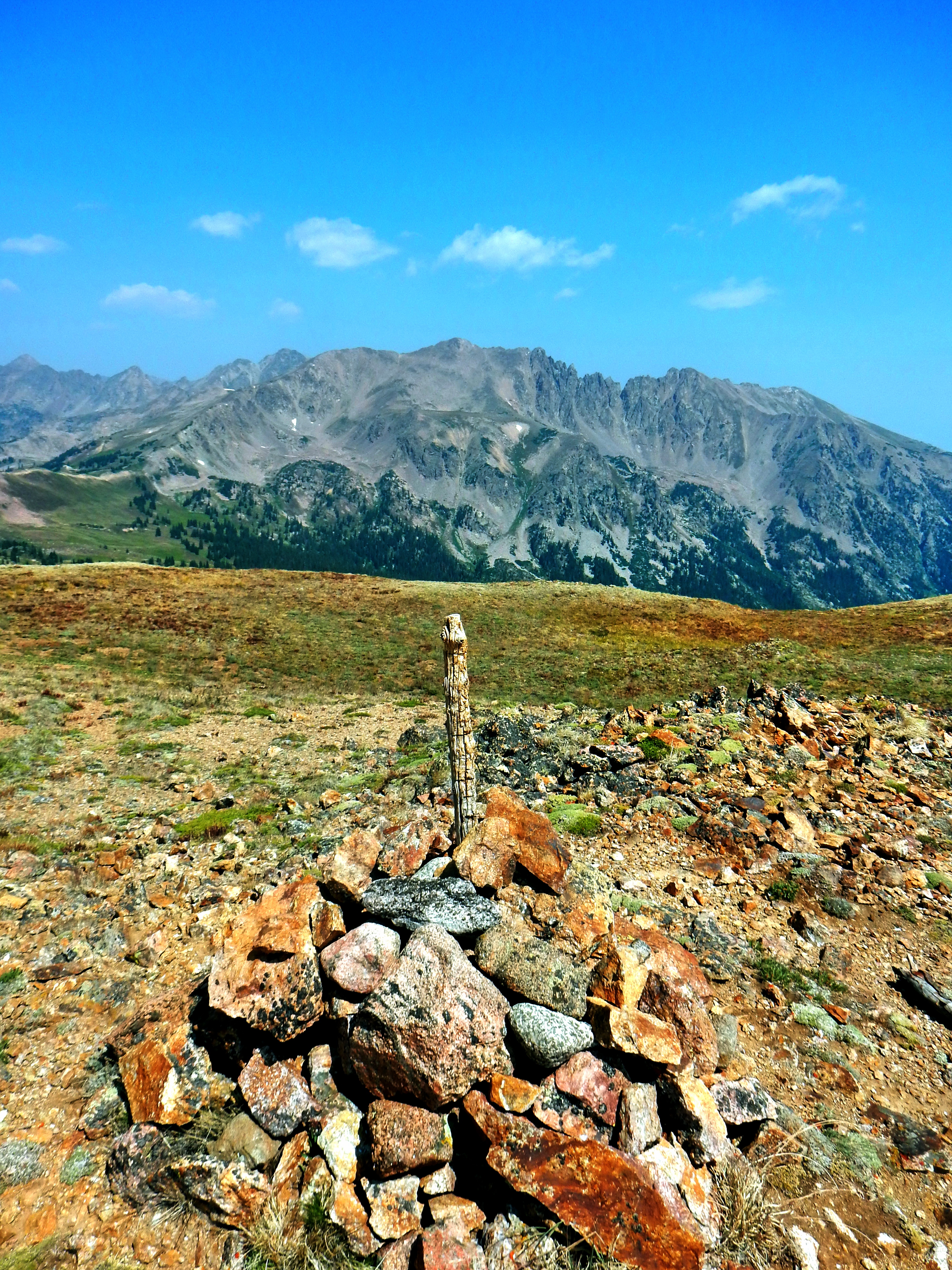
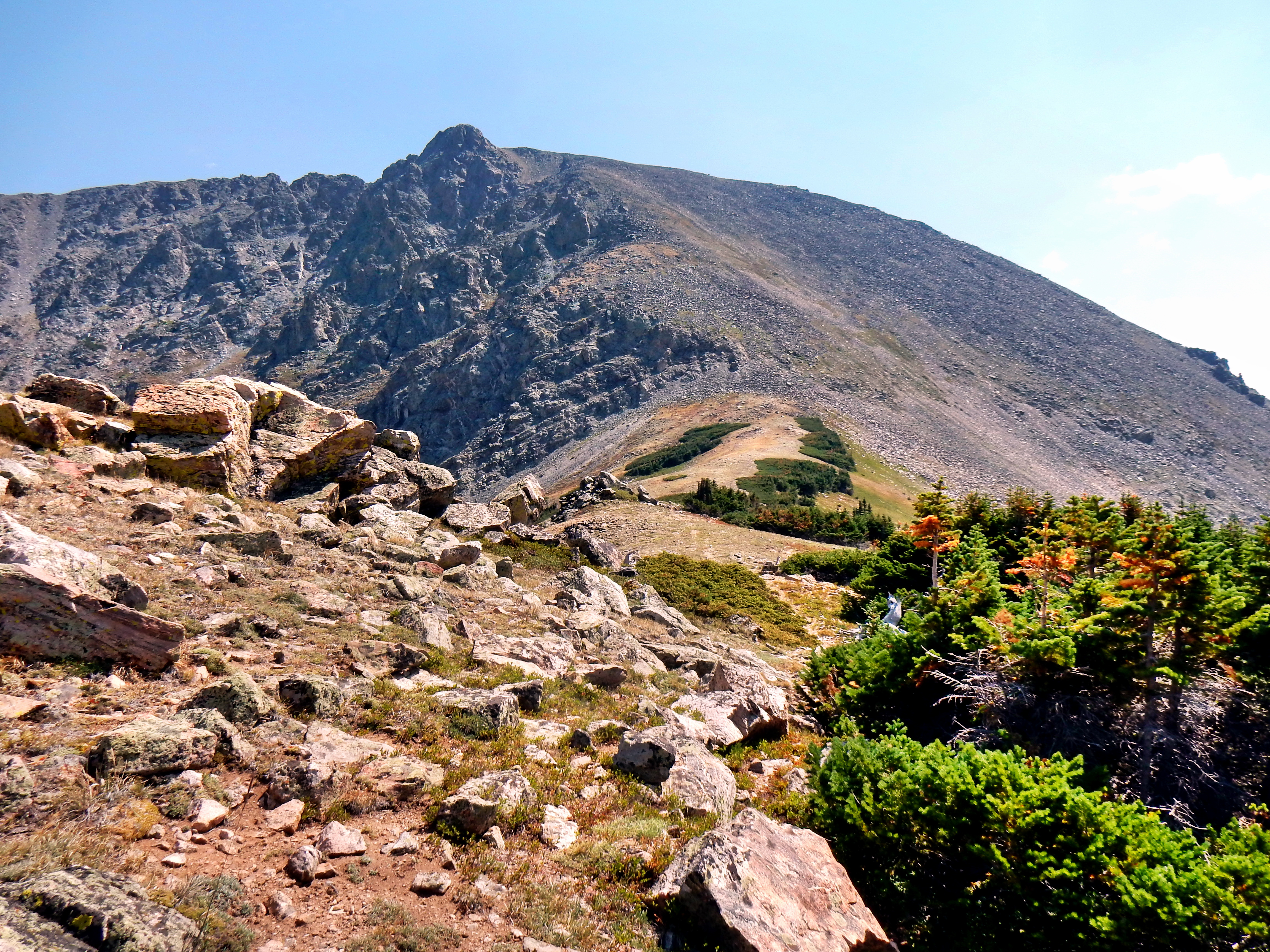
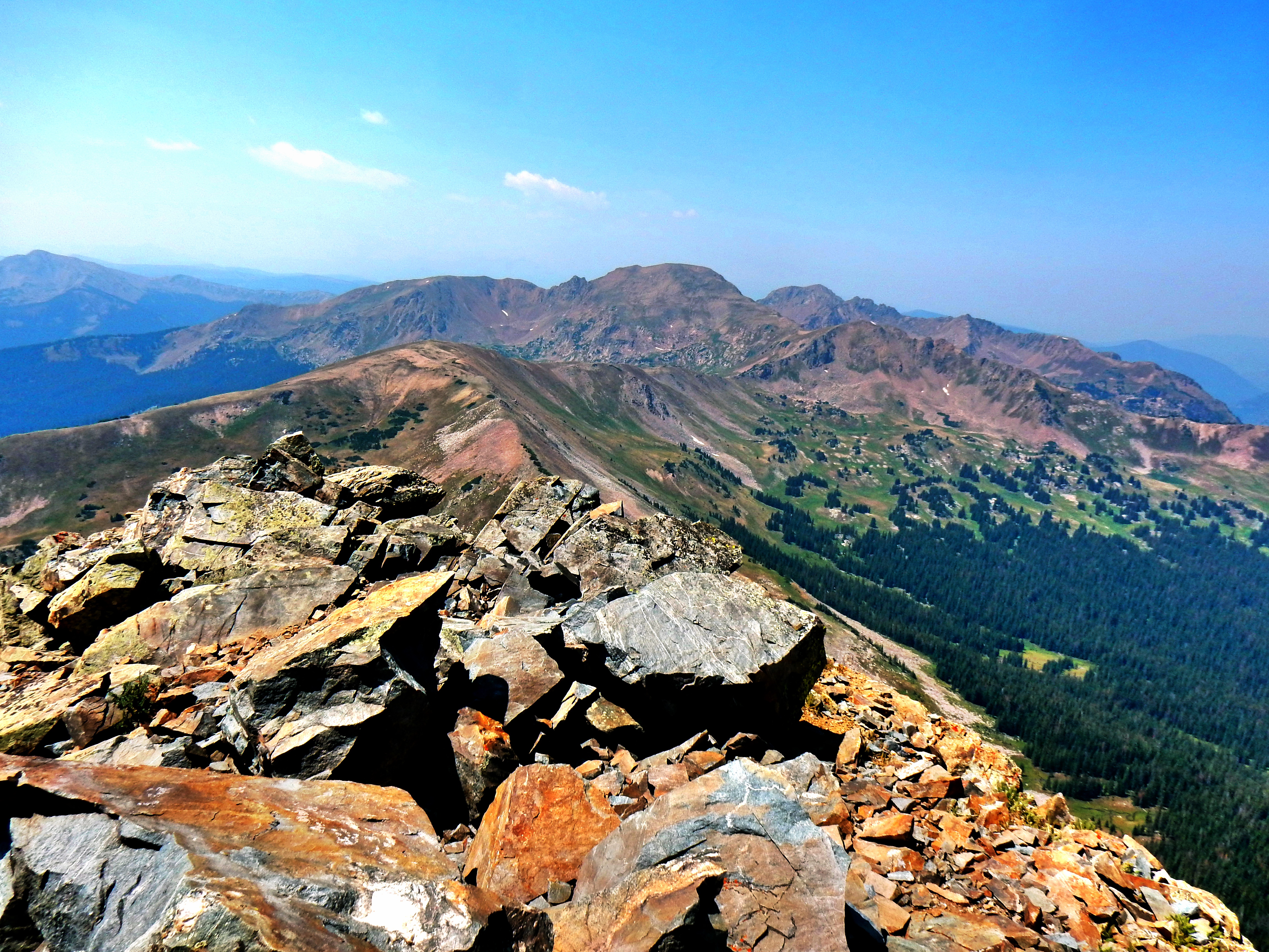
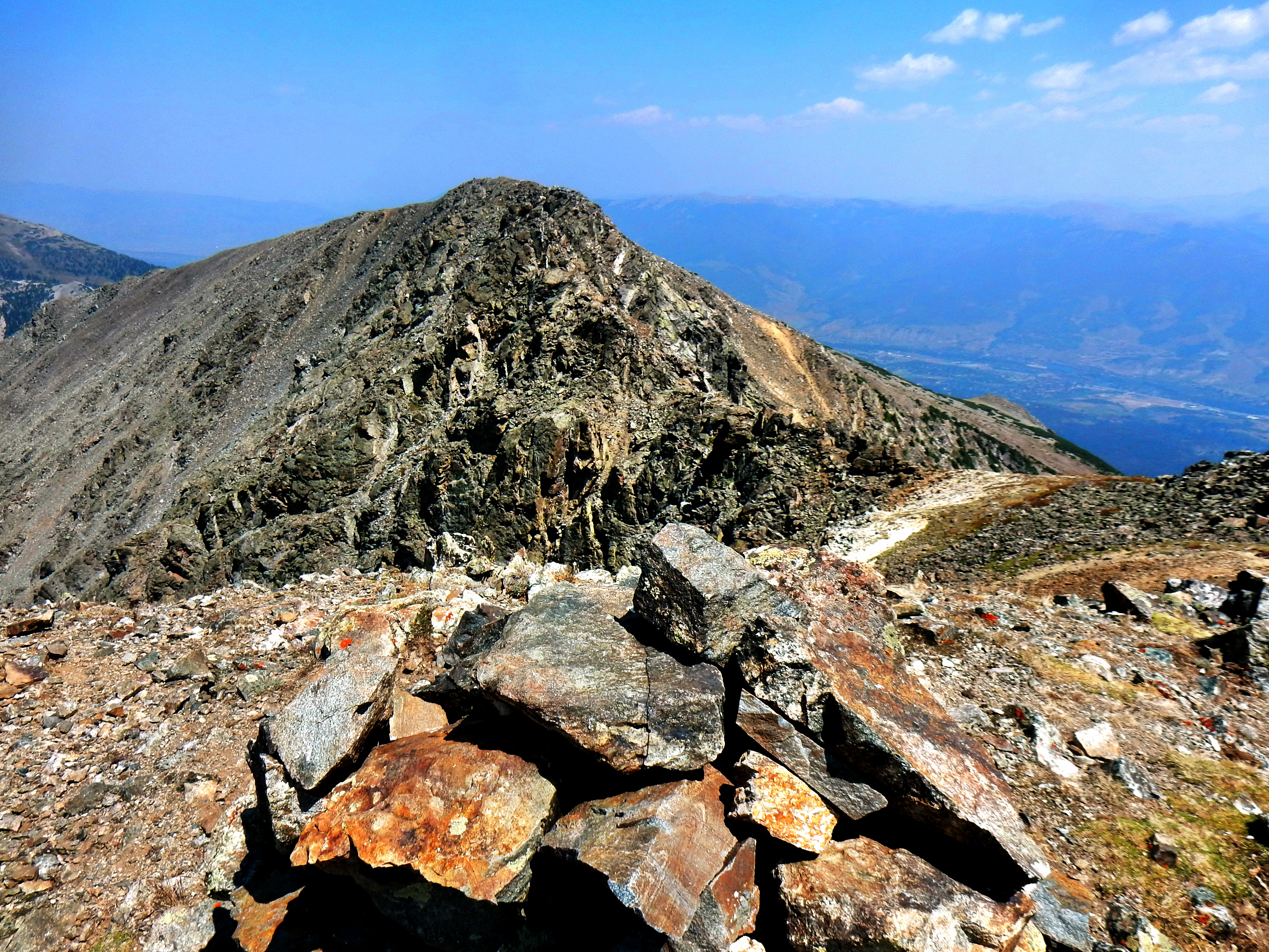
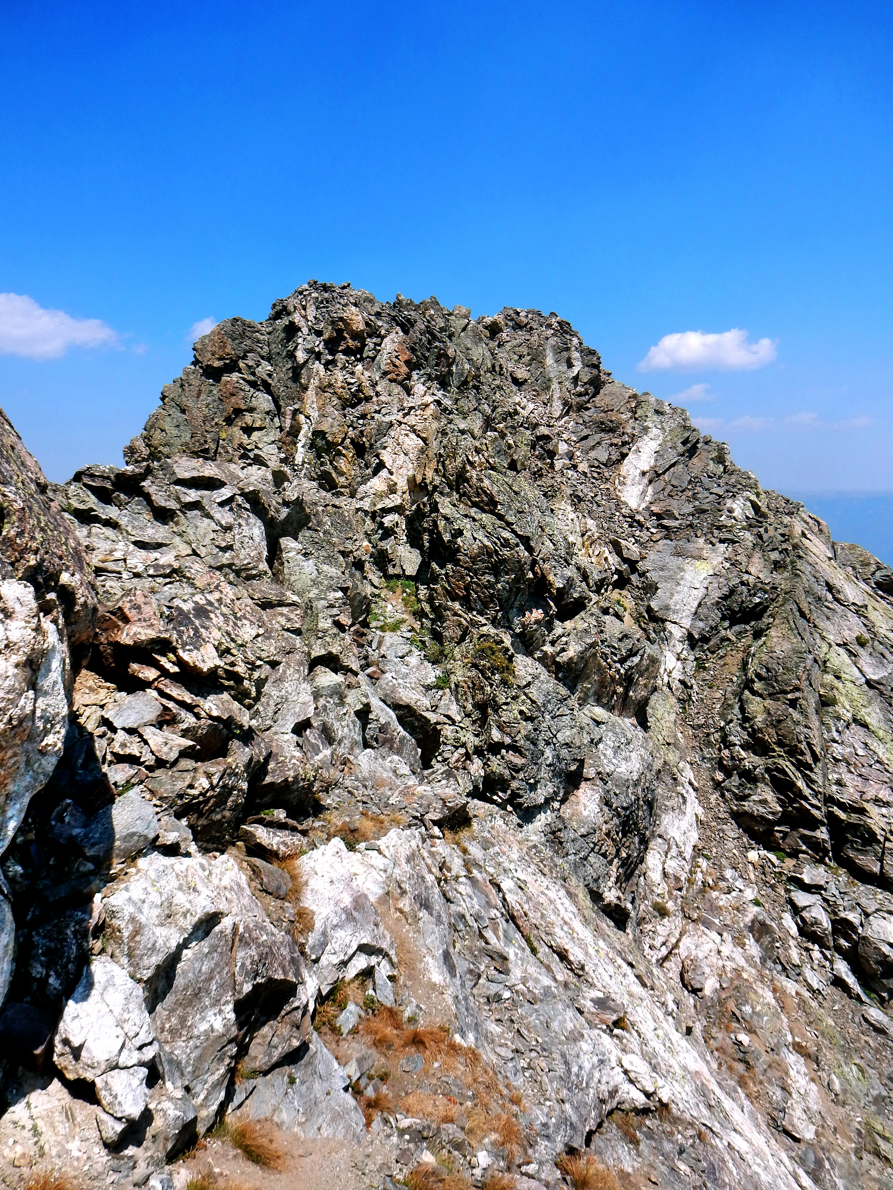
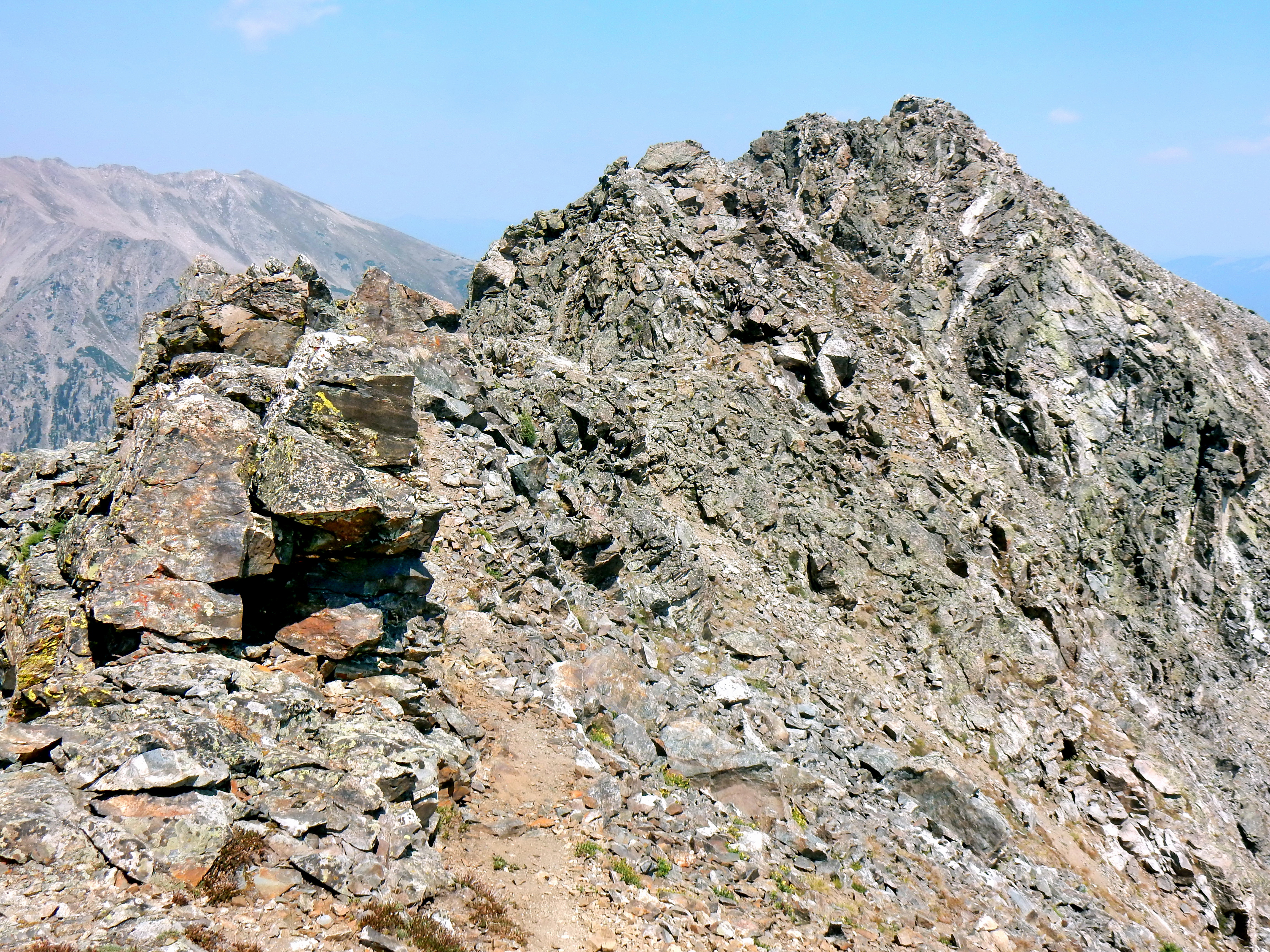
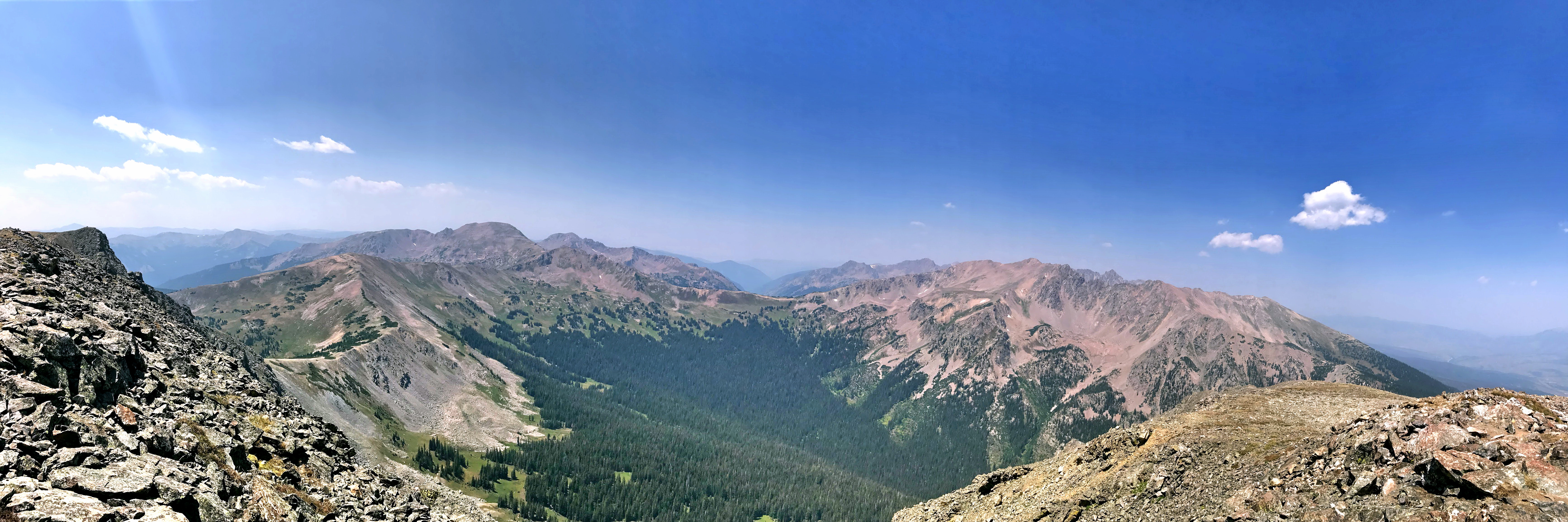
Just follow the Meadow Creek trail…don’t go to Lily Pad Lake if for the most direct route.The obligatory wilderness area sign picture.Early trailCan I get a reflection?In the middle of the meadow the Gore Range Trail intersects.Looking back down with the Tenmile Range in the background.Looking back down with the Tenmile Range in the background.Eccles Pass overview: left for Red Mountain, center to drop down into the the Gore Trail, and right for “Eccles Peak” to Buffalo Mountain.After getting to Eccles Pass you follow the ridge east toward Buffalo Mountain.Looking over the other side of Eccles Pass with Red Mountain (13,189′) most notably on the skyline.From the ridgeBuffalo Mountain is an impressive looking summit from all directions.From Eccles PassBuffalo Mountain and Lake Dillon from the “Eccles Peak” summit.Buffalo Mountain (12,777′) from the “Eccles Peak” (12,313′) summit. Eccles is unranked and more just the high point on the ridge though. There are far more satisfying hikes nearby, so I don’t recommend just doing Eccles.Looking across at Red Mountain from “Eccles Peak”A couple shots of the ridge over to Buffalo. The final section is steep and rocky, but overall not too difficult class 2.One more shot of the Buffalo. Technically, the high point is probably the sub-summit Sacred Buffalo, which is about 20ft shorter.From the Sacred Buffalo summitLooking over at the class 3 traverse to Buffalo Mountain.I wore my hiking boots expecting the traverse to be difficult. I have a general rule never to wear trail runners if the route has class 3 or higher and I haven’t been there before. I am definitely more confident with the grip in my boots.Another shot of the traverse.
Buffalo Mountain (12,777′)
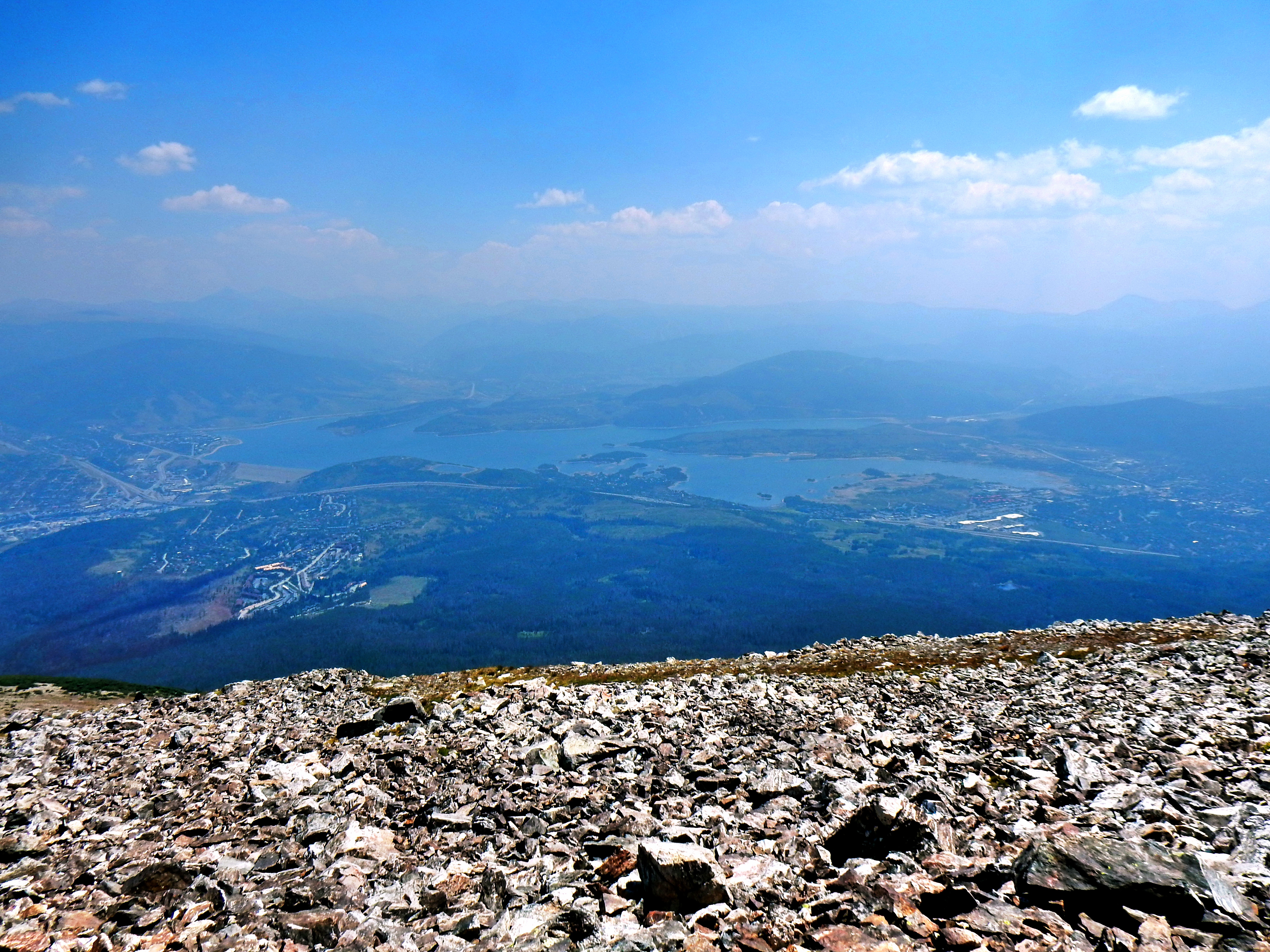
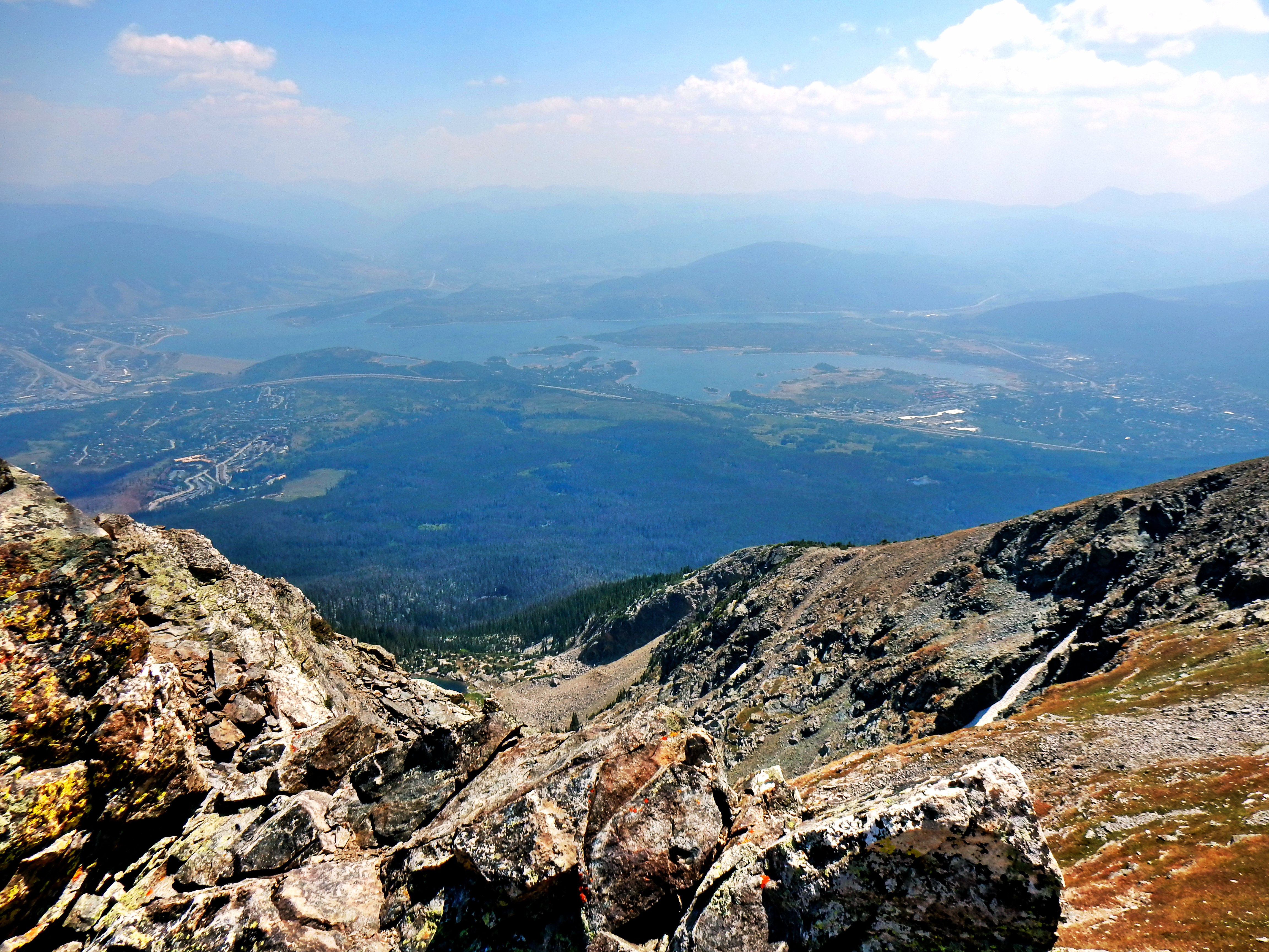
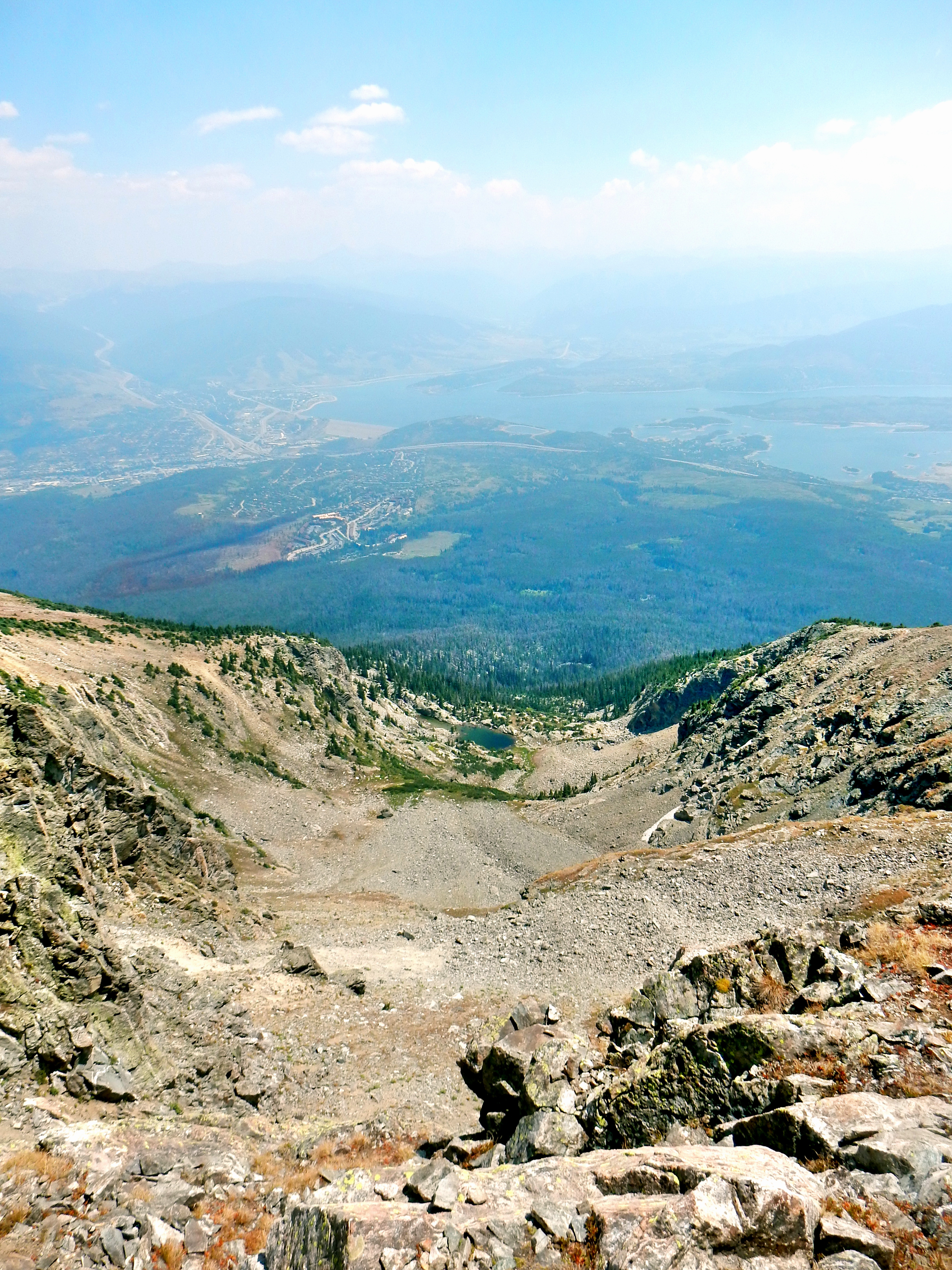
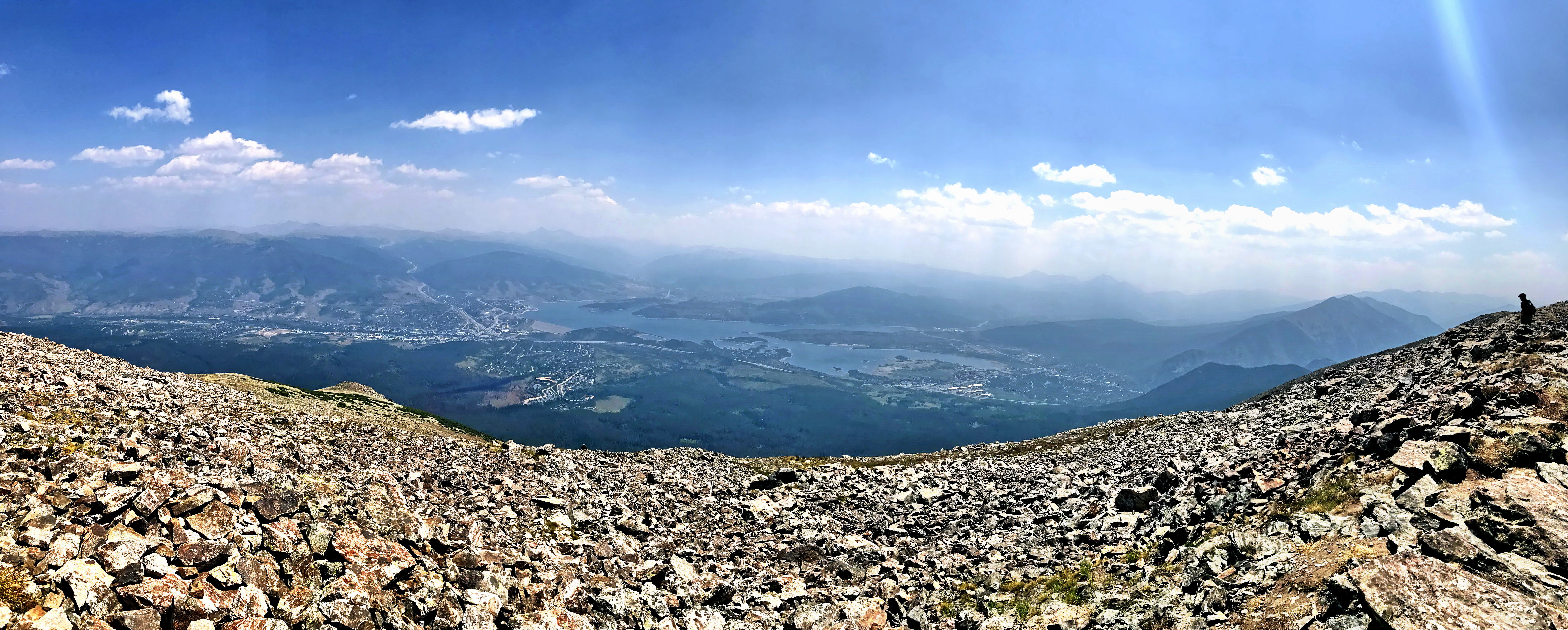
Lake Dillon…it was hazy from the fires, so I had to edit this for better visibility.Looking back down the shoot.It was cool to see the prominent shoot up close.Summit PanoSummit pano
If you have a second car, you can head back down to Ryan Gulch. I did not, so it was a long way back down. Great day though!