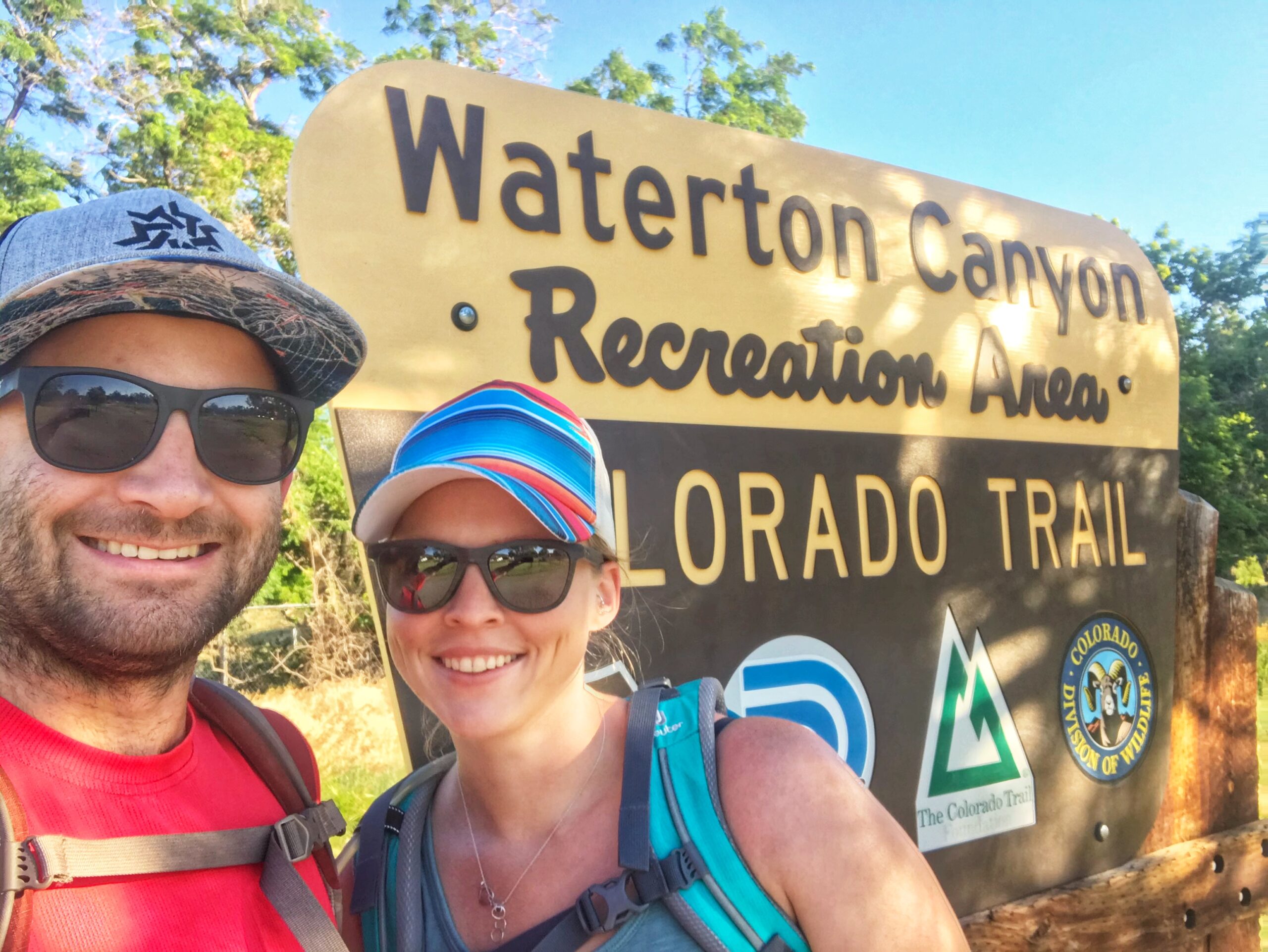
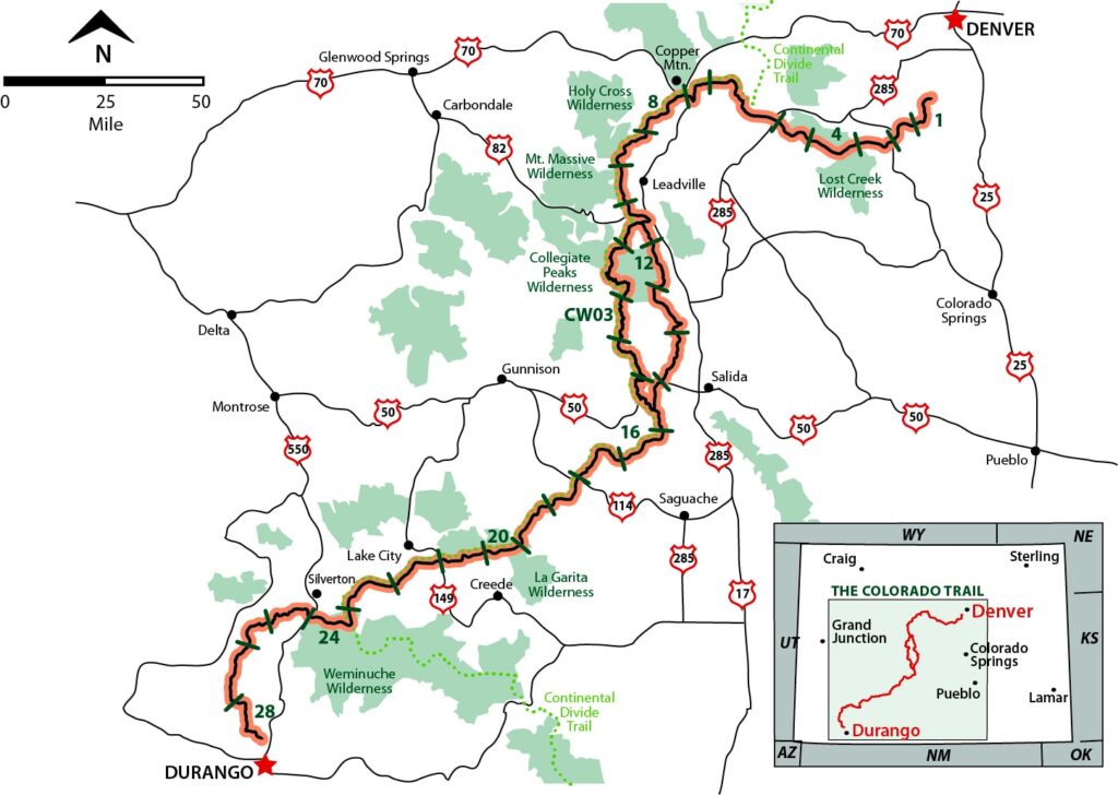
We finally started our adventure on Colorado Trail that we’ve been talking about for probably over a year now. The trail has a few alternate options, but the standard route is around 486 miles long with around 89,000′ of gain. As of July 2021, the FKT (fasted known time) to complete the trail is 8 days and 30 minutes set by Bryan Williams, which is pretty crazy (https://fastestknowntime.com/route/colorado-trail-co) The trail is broken into 28 segments total and we started at Waterton Canyon side right outside Denver (Littleton more accurately). We’re planning on completing the CT one or a few segments at a time, over the course of several years. We have no idea how long it’ll take us, but should be a fun challenge!
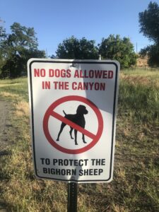
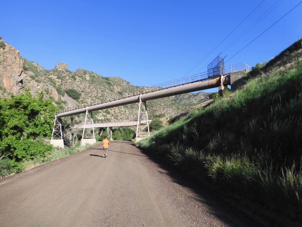
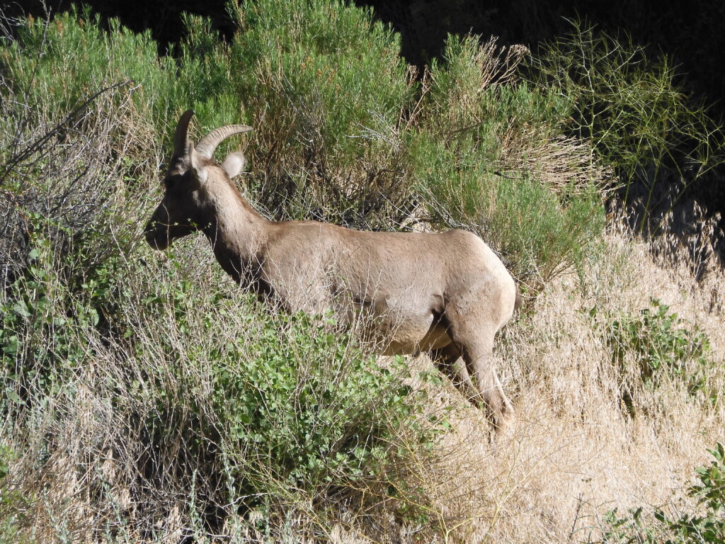
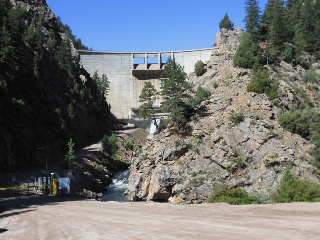
Well, the beginning of the Colorado Trail uses the very popular Waterton Canyon road. Personally, I’ve never really enjoyed running up Waterton Canyon, but it has been a good backup when other trails are too snowy. The road isn’t particularly steep, but is steady enough to provide a little bit of elevation gain. Surprisingly, I actually really enjoyed hiking up this section today though as Elizabeth and I chatted, we saw the usual bighorn sheep, and it was a beautiful day out.
The stats from my .gpx file might be a little off, but here is a video recap:
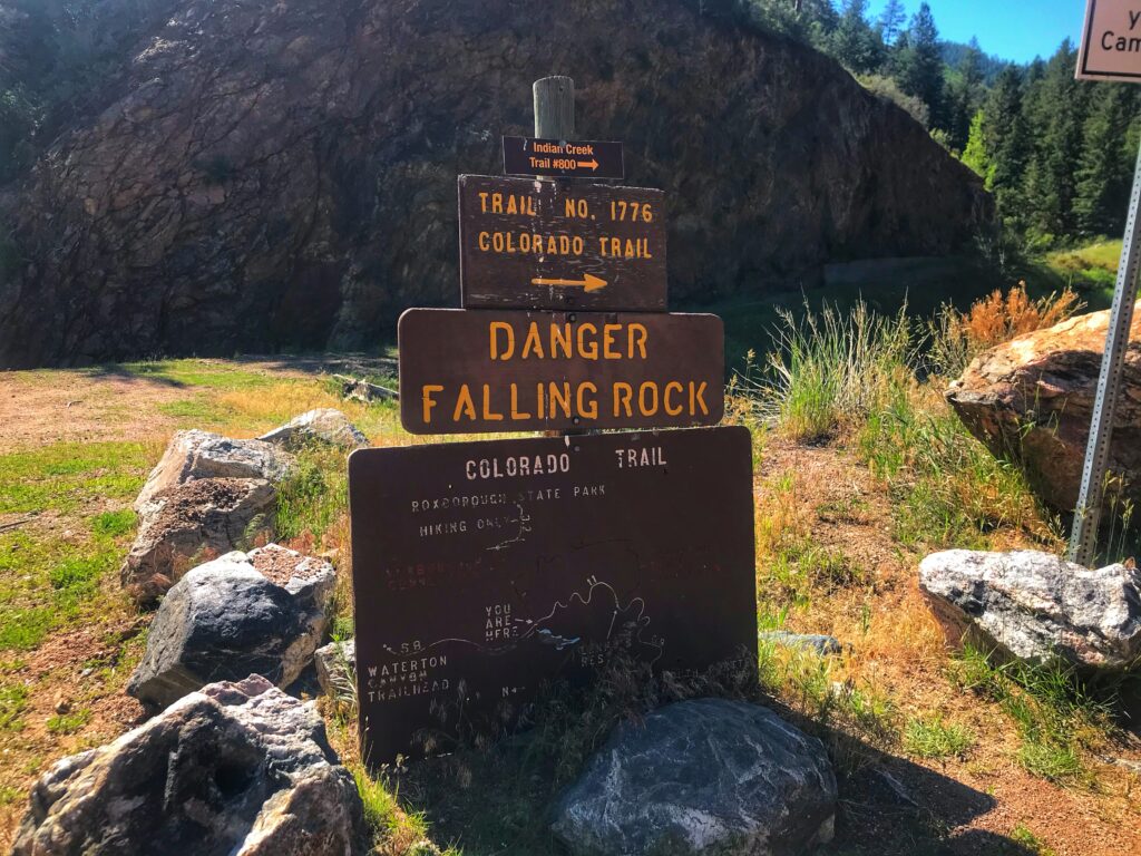
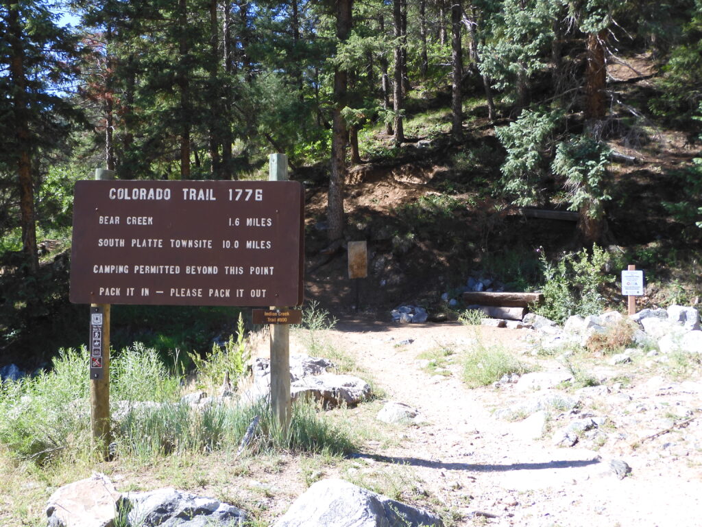
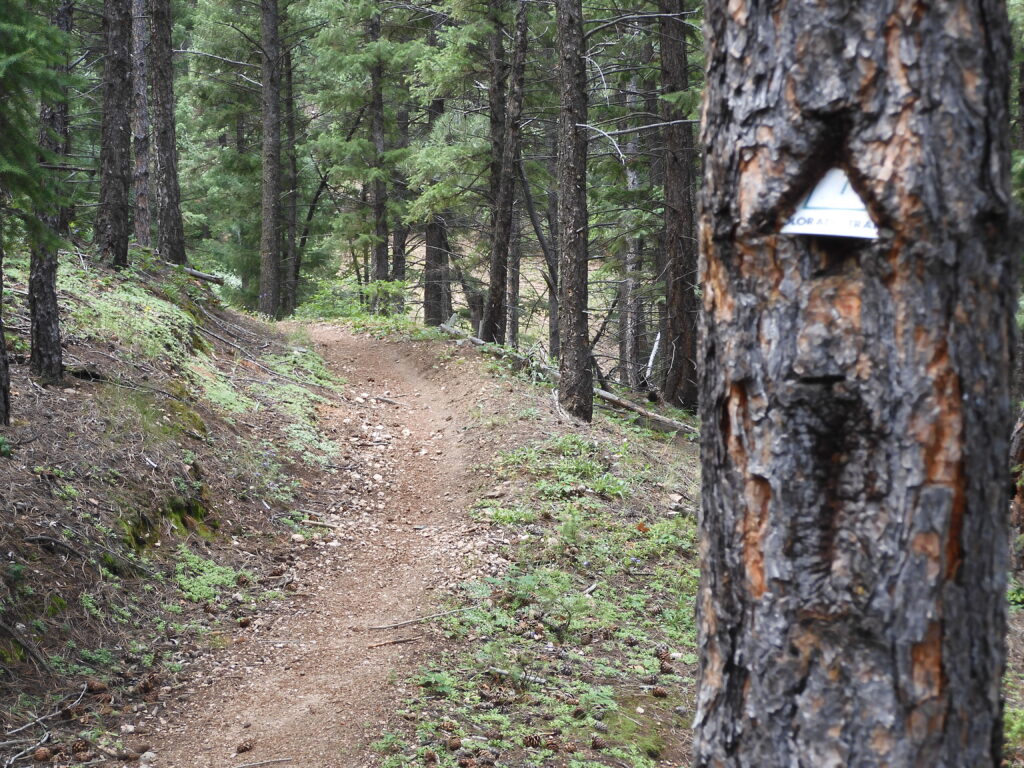
One thing that I think we’ll really enjoy about the CT is that navigation struggles are minimized and non-existent on many segments. I’ve hopped around a bit on the CT in the past and haven’t had any issues so far, so I anticipate this will be the case overall. We’ll prepare just in case though, but a lot less planning is needed with our segment approach compared too a thru-hike of the entire trail.
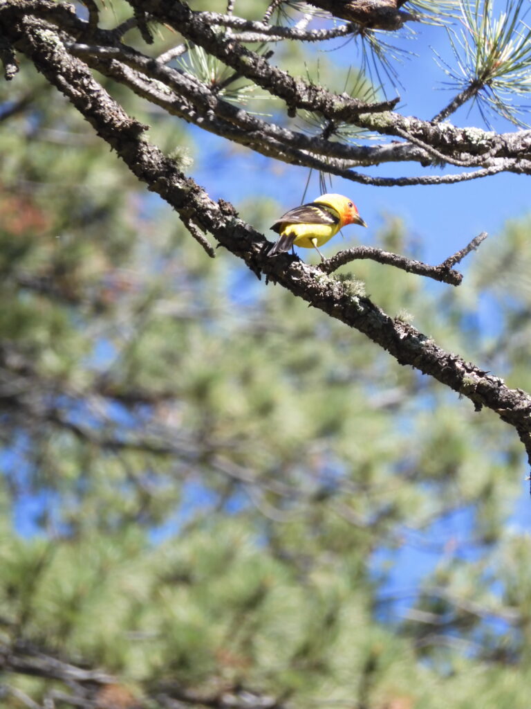
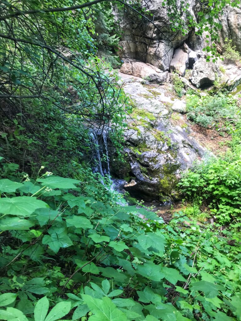
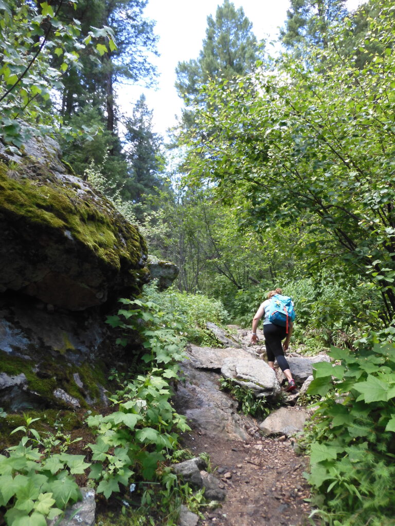
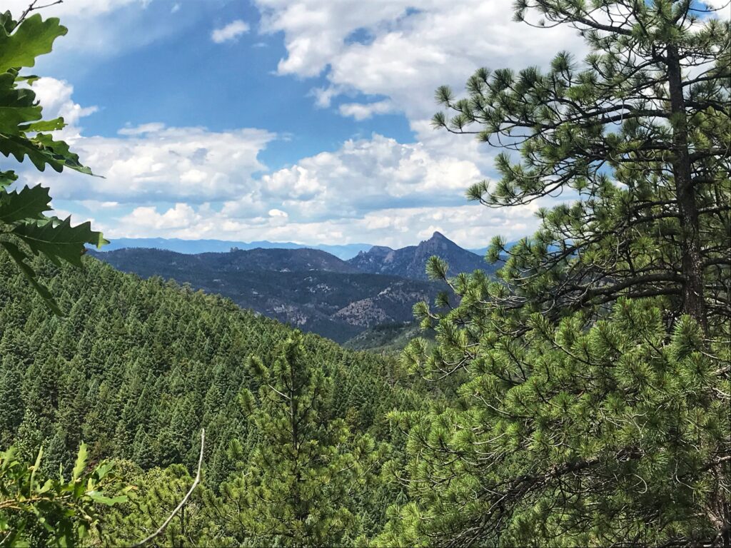
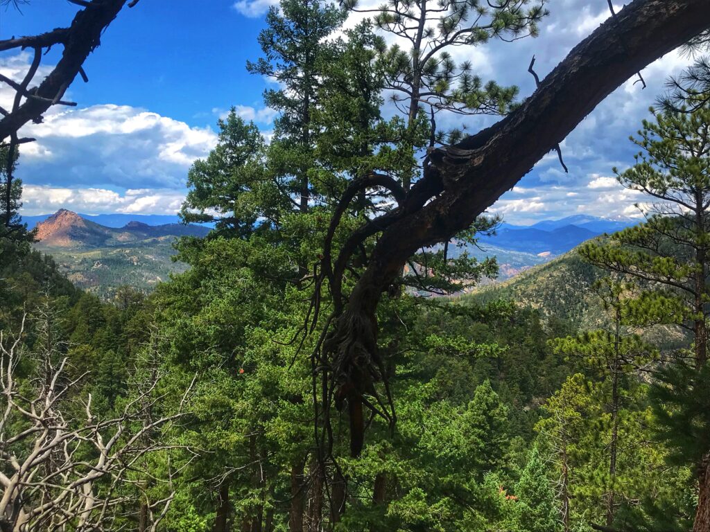
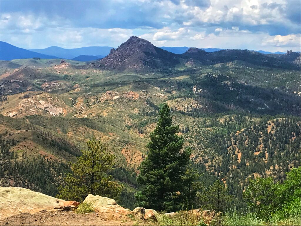
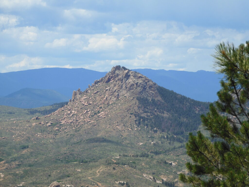
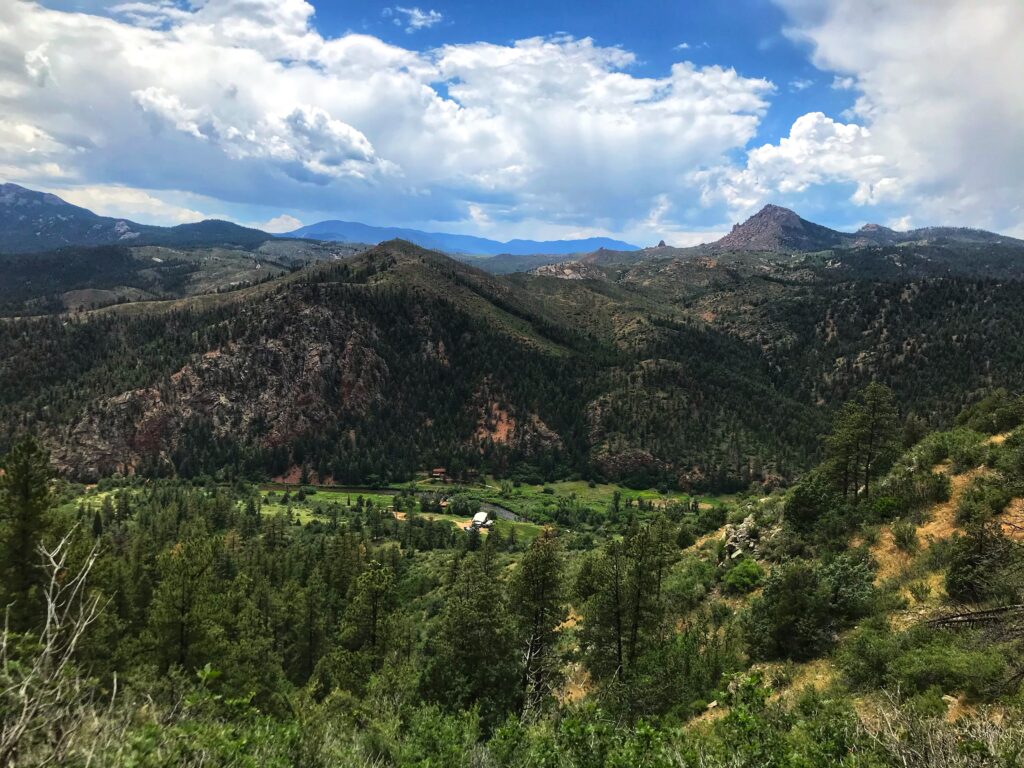
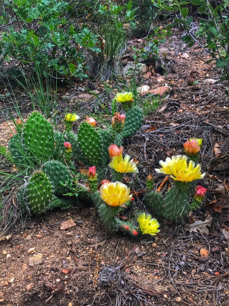
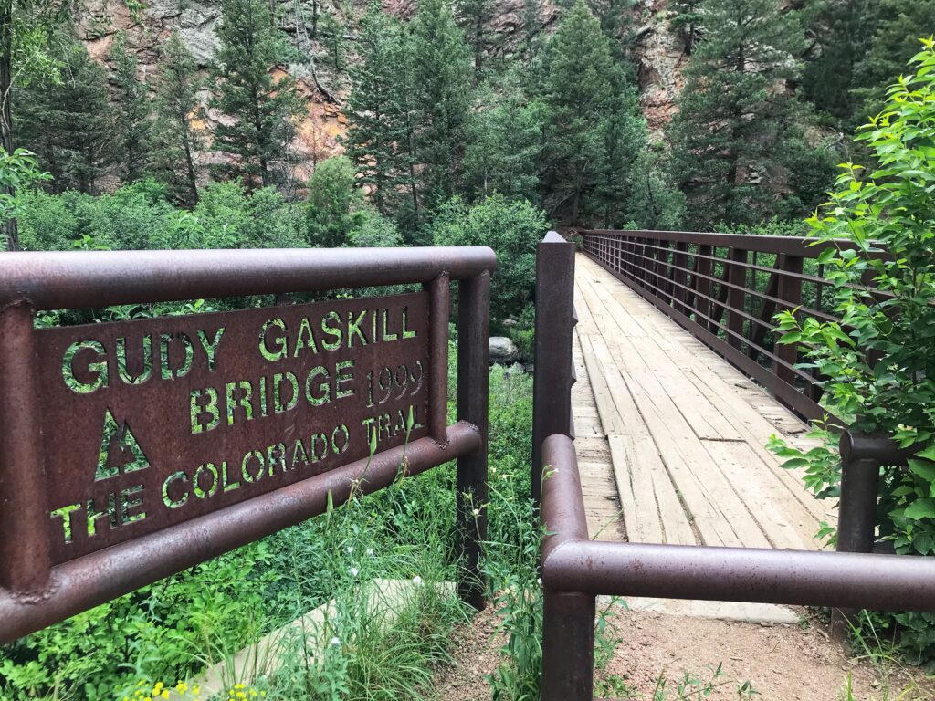
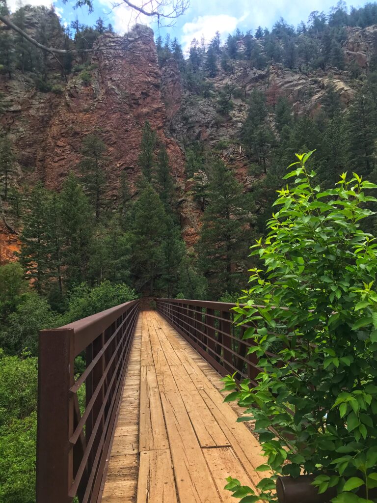
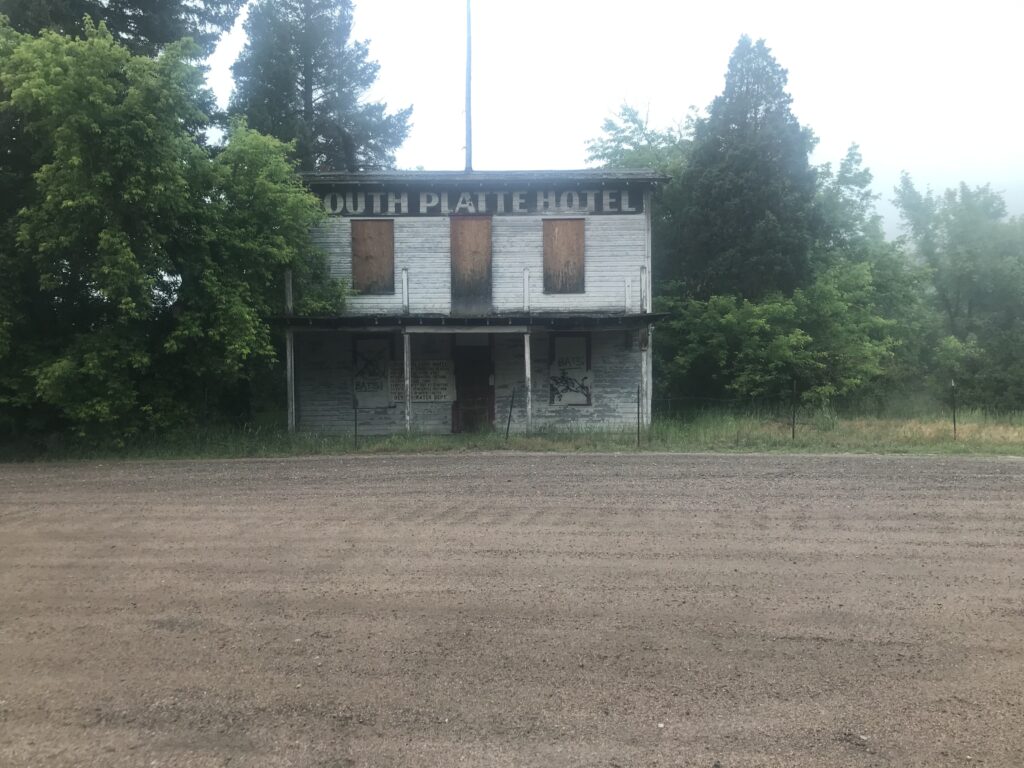
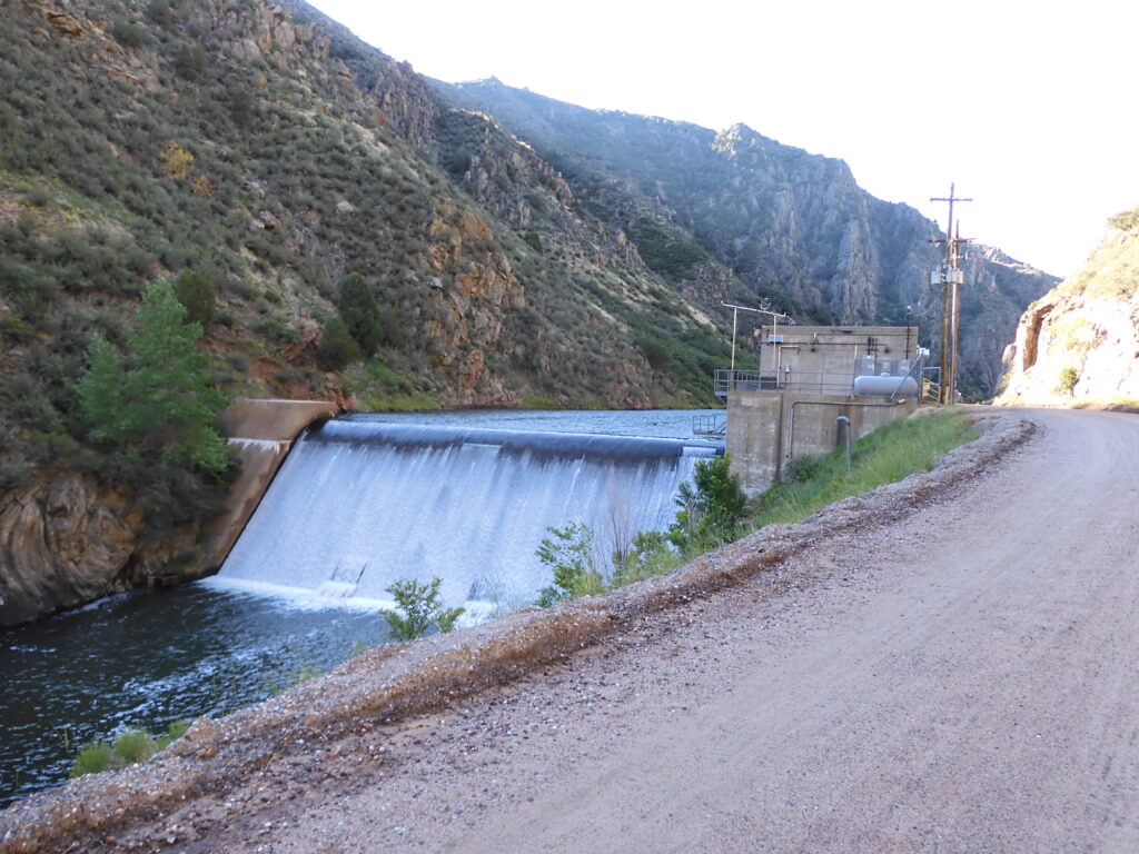
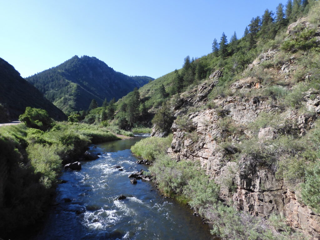
Alright back to Segment #1! Overall, I was very pleasantly surprised by how scenic the first segment was! It was hot out being close to town, but a lot of shade and an abundance of green along the trail. Also, some cool views along the way of familiar landmarks (Raleigh Peak, Cathedral Spires, and Mt. Evans in further distance). Here are a few of my favorites views along the way for taste.