

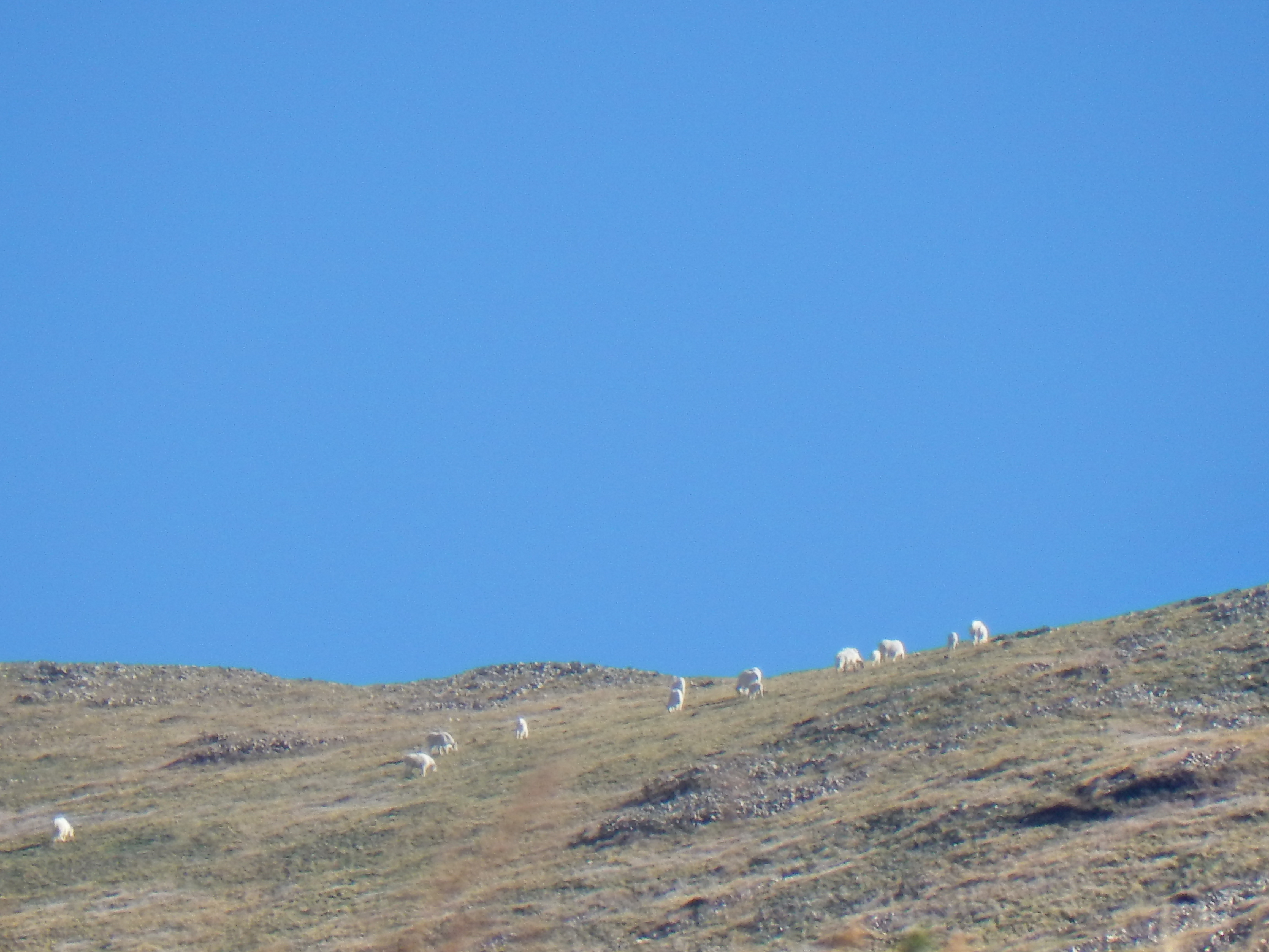
We had gazed upon the La Sal Mountains for the past three days as we ventured around Moab, Arches, and Canyonlands. Even though the arches, red canyons, hoodoos, towers, and other crazy rock formations were the highlights; the La Sals kept drawing my attention. If you visit in the Winter or Spring, the La Sals will likely be covered with snow as well; which adds to the awesome contrast. Partway through the second day of our trip, Elizabeth came up with the idea to hike one of the La Sals. For some reason, the idea never really occurred to me; so, I was thankful that she suggested it!
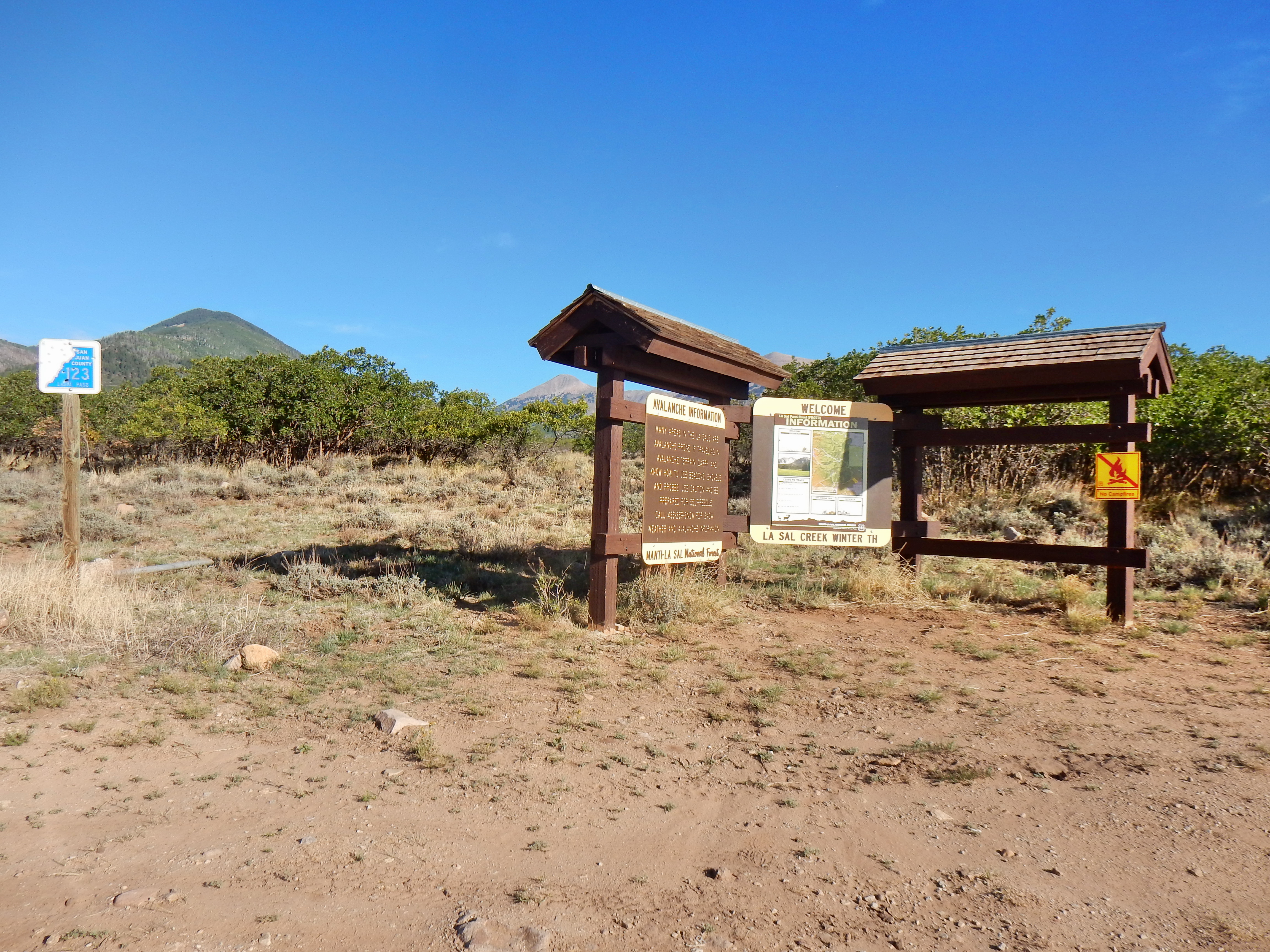
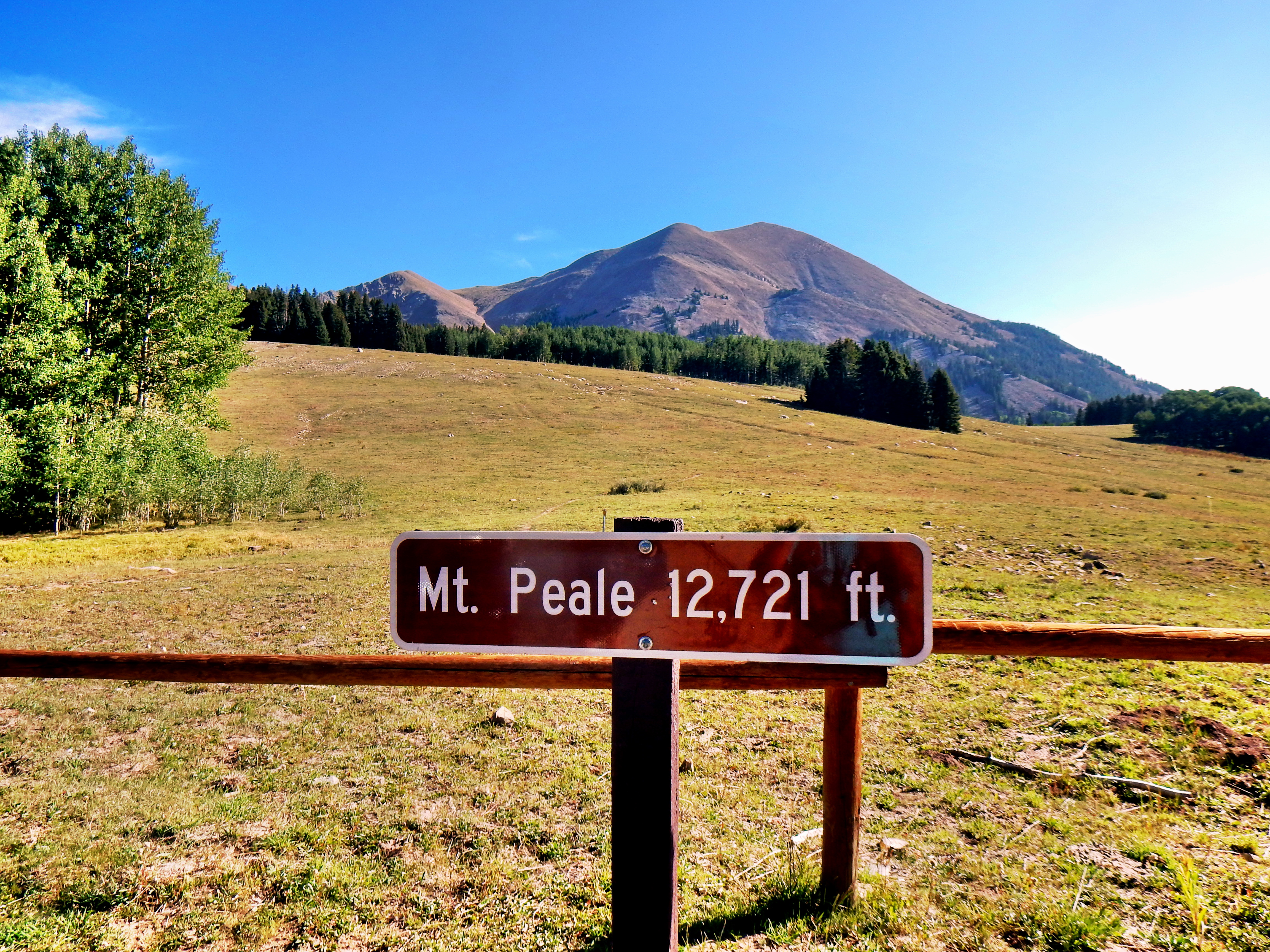
I didn’t know much about the La Sals, so we Googled options after dinner. What I found was that the La Sals seem to be overlooked by a lot of visitors to the area; like I had initially. I did find some good information after digging a little bit though. The La Sals are composed of three main grouping: North, Central (Middle), and South. The three highest in the range are located in the central group: Mt. Peale (12,721′), Mt. Mellenthin (12,645′), and Mt. Tukuhnikivatz (12,482′). Naturally, we gravitated toward this higher grouping and we found that Mt. Peale and Mt. Tuk were fairly easily accessible via the La Sal Pass trailhead. To give credit, the primary source of information we used was Summit Post: https://www.summitpost.org/mount-tukuhnikivatz/150794.
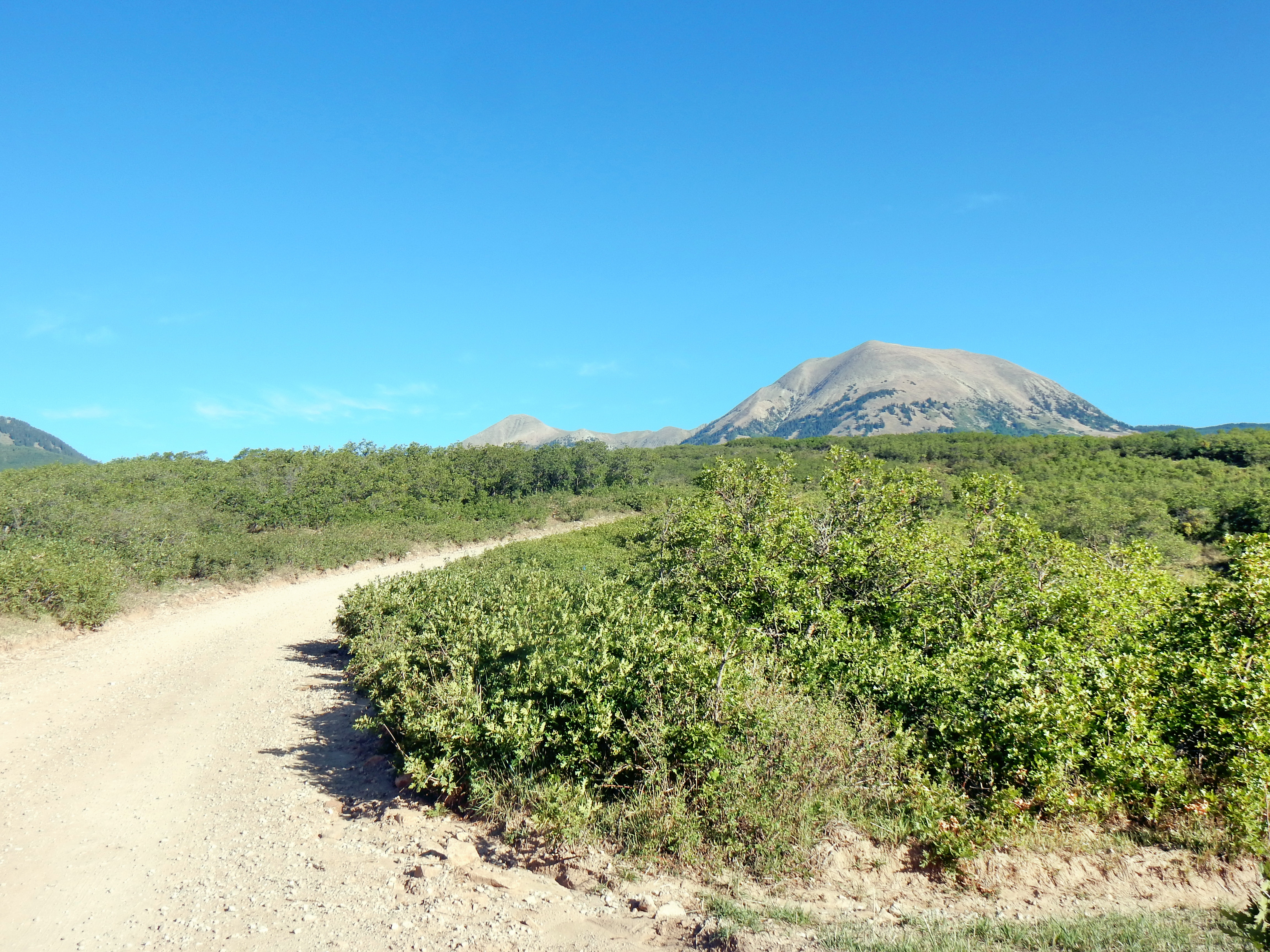
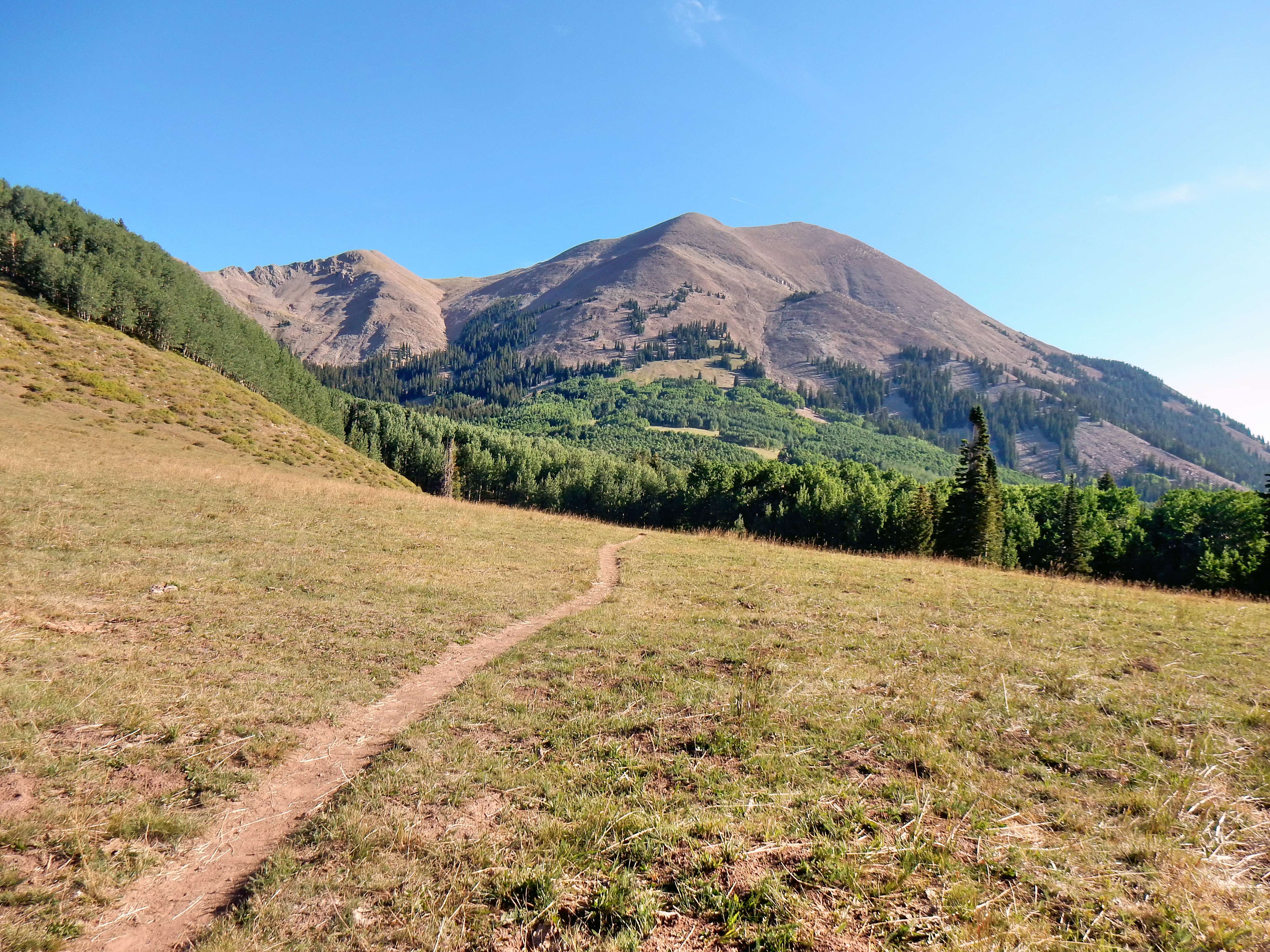
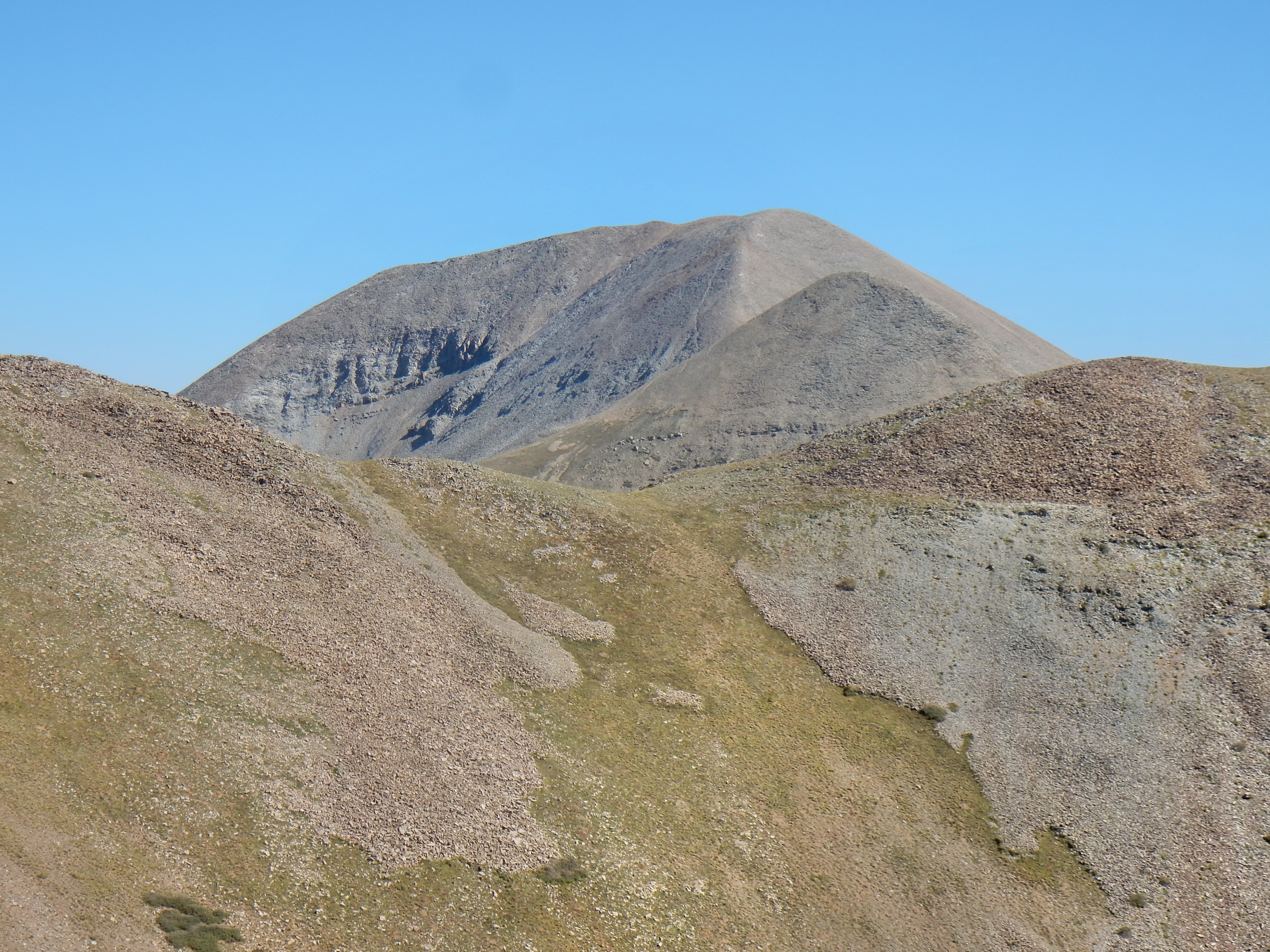
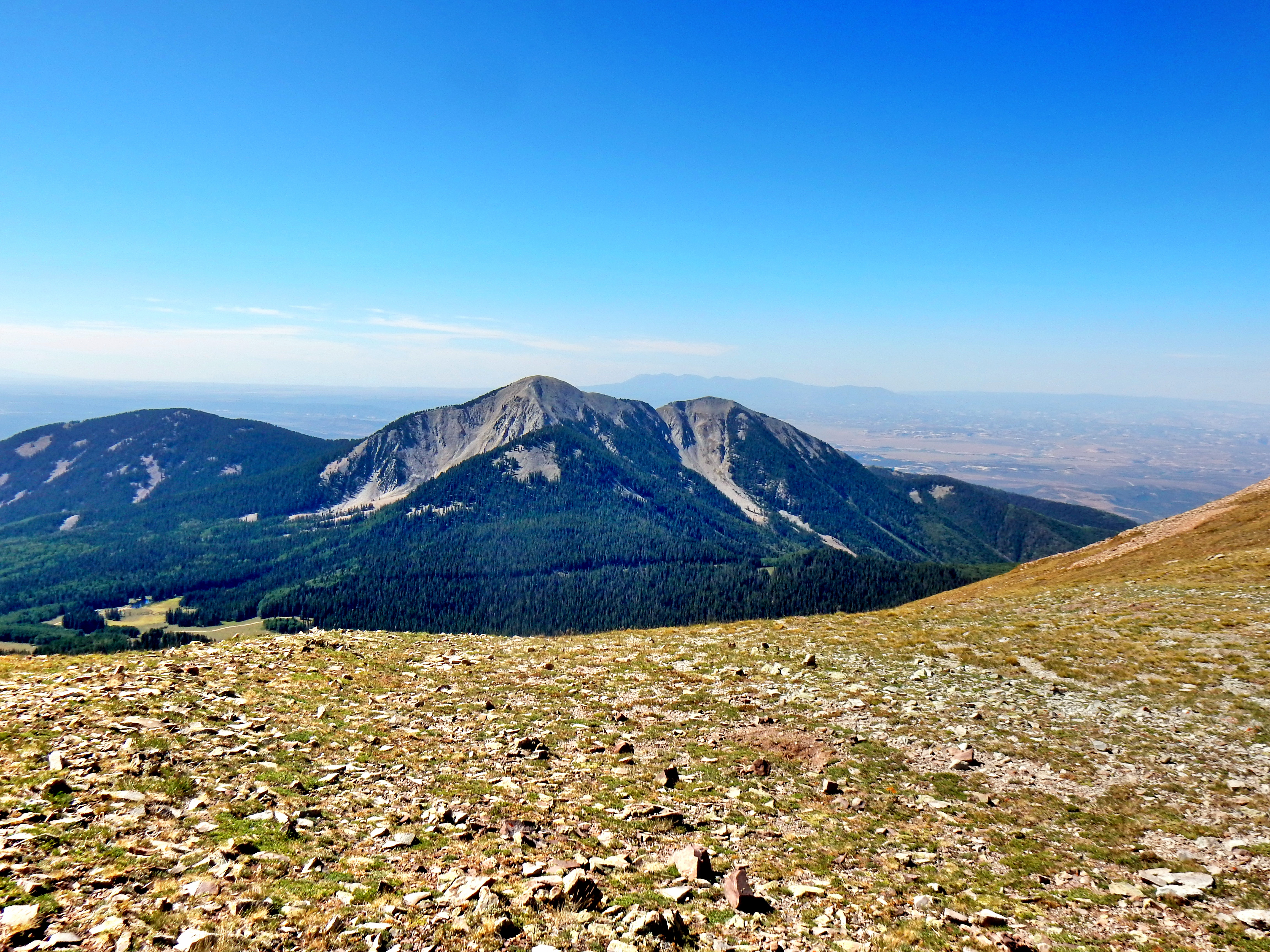
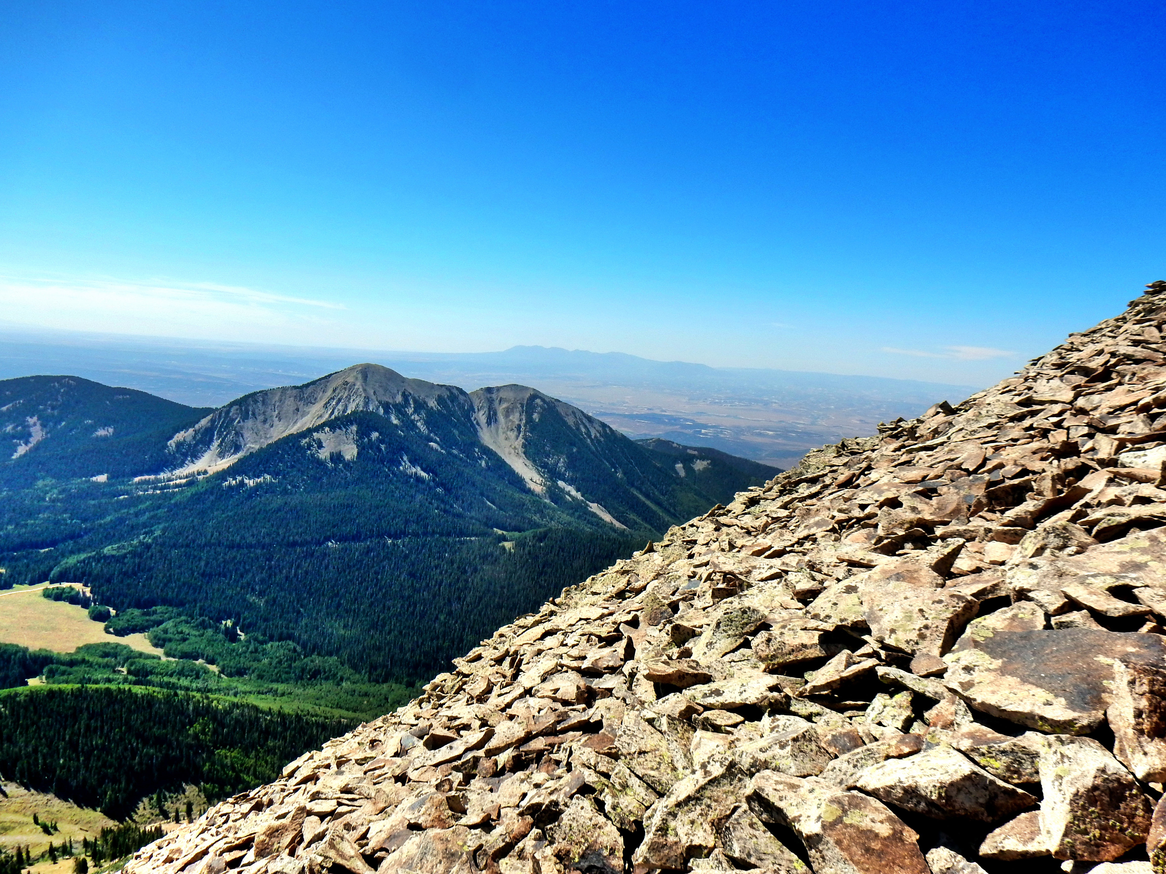
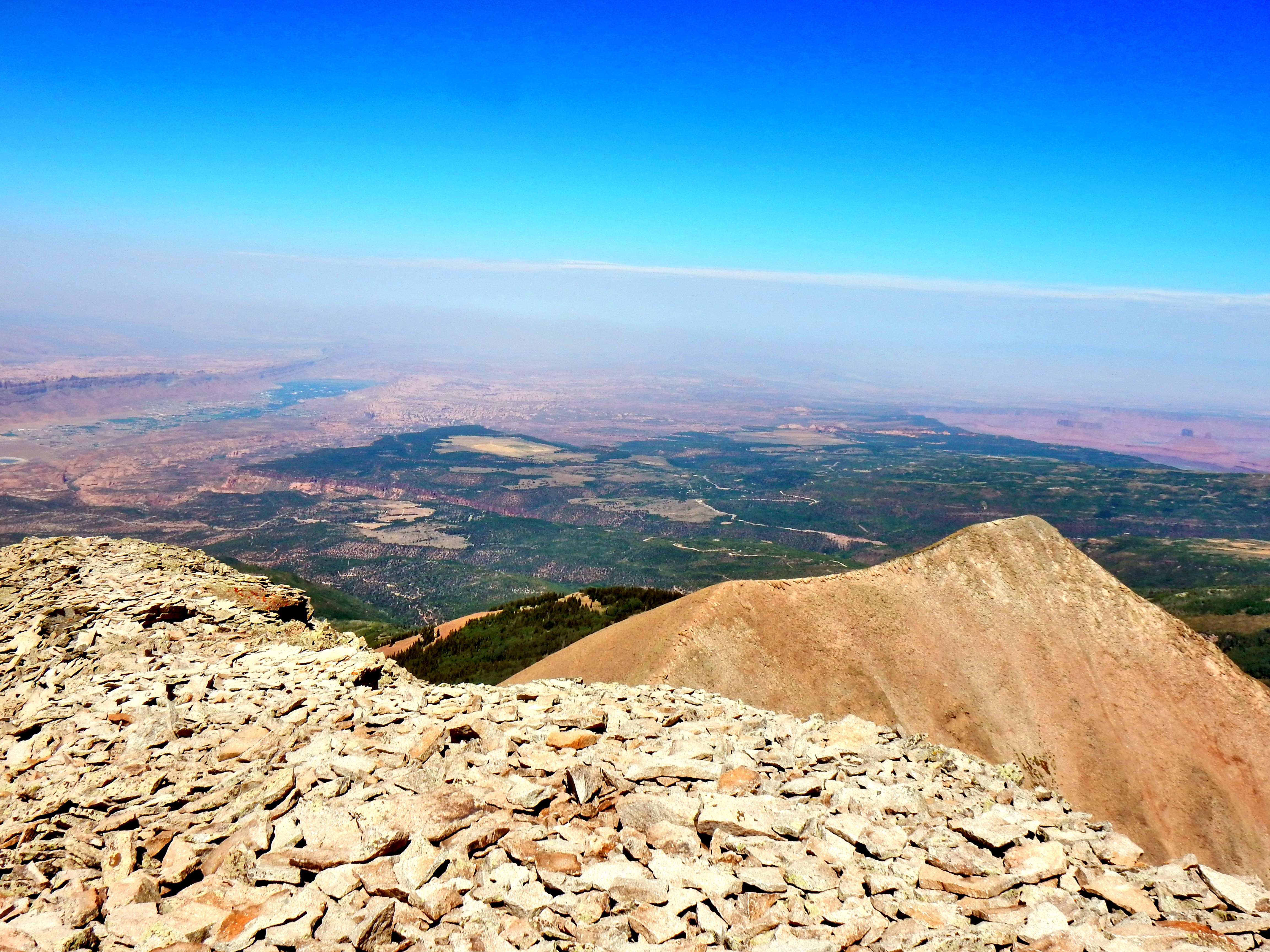
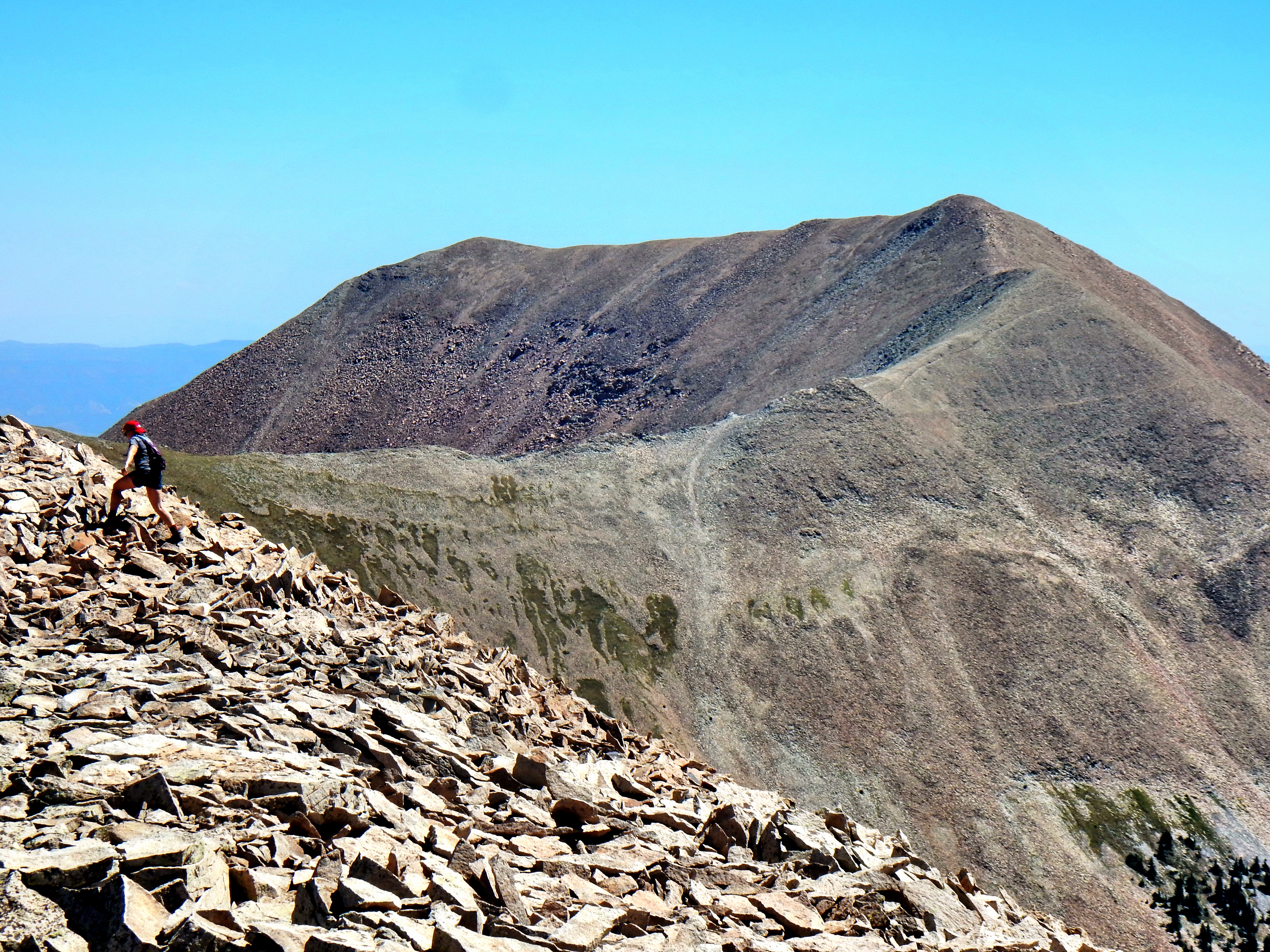
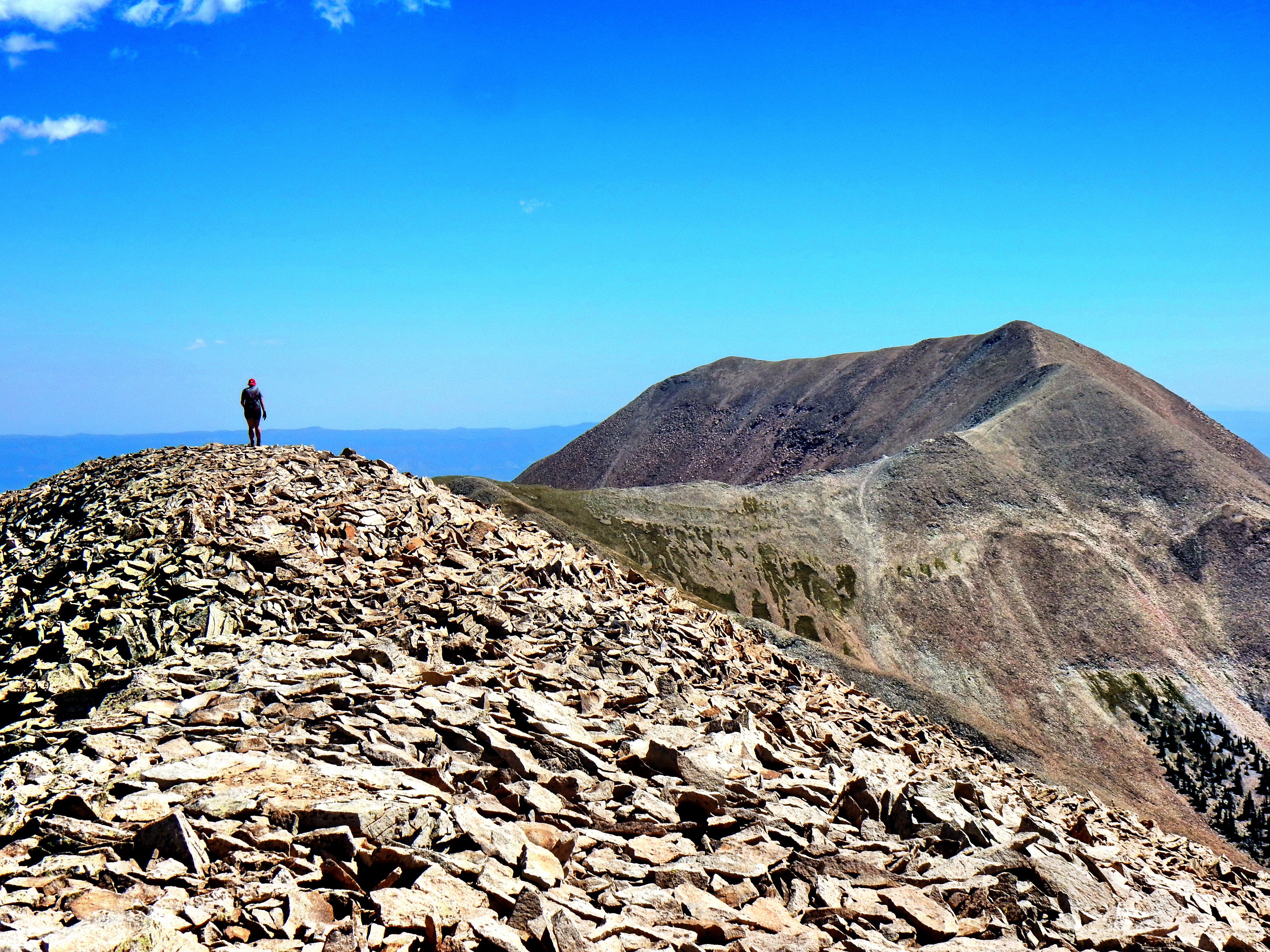
So, why did we decide to climb the 3rd highest instead of the highest in the range? Well, elevation isn’t everything and the dramatic ridge of Mt. Tuk was easy to spot from all around the area. Also, there is a relatively new trail up to the ridge of Mt. Tuk, which make it a great hike and it seems the most accessible. We were slightly disappointed to find the views a little bit hazy, but it turned out to be a wonderful hike and summit.
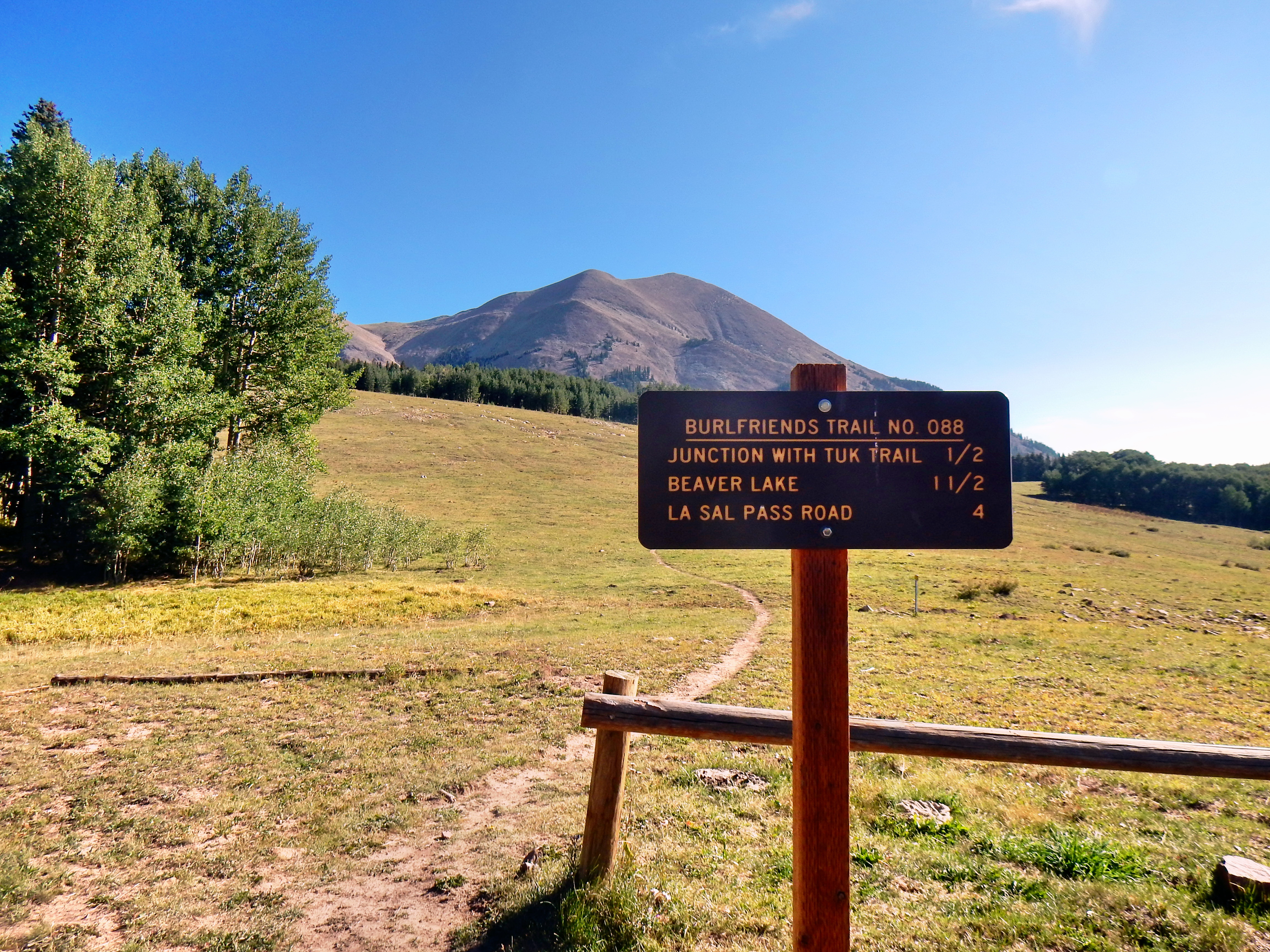
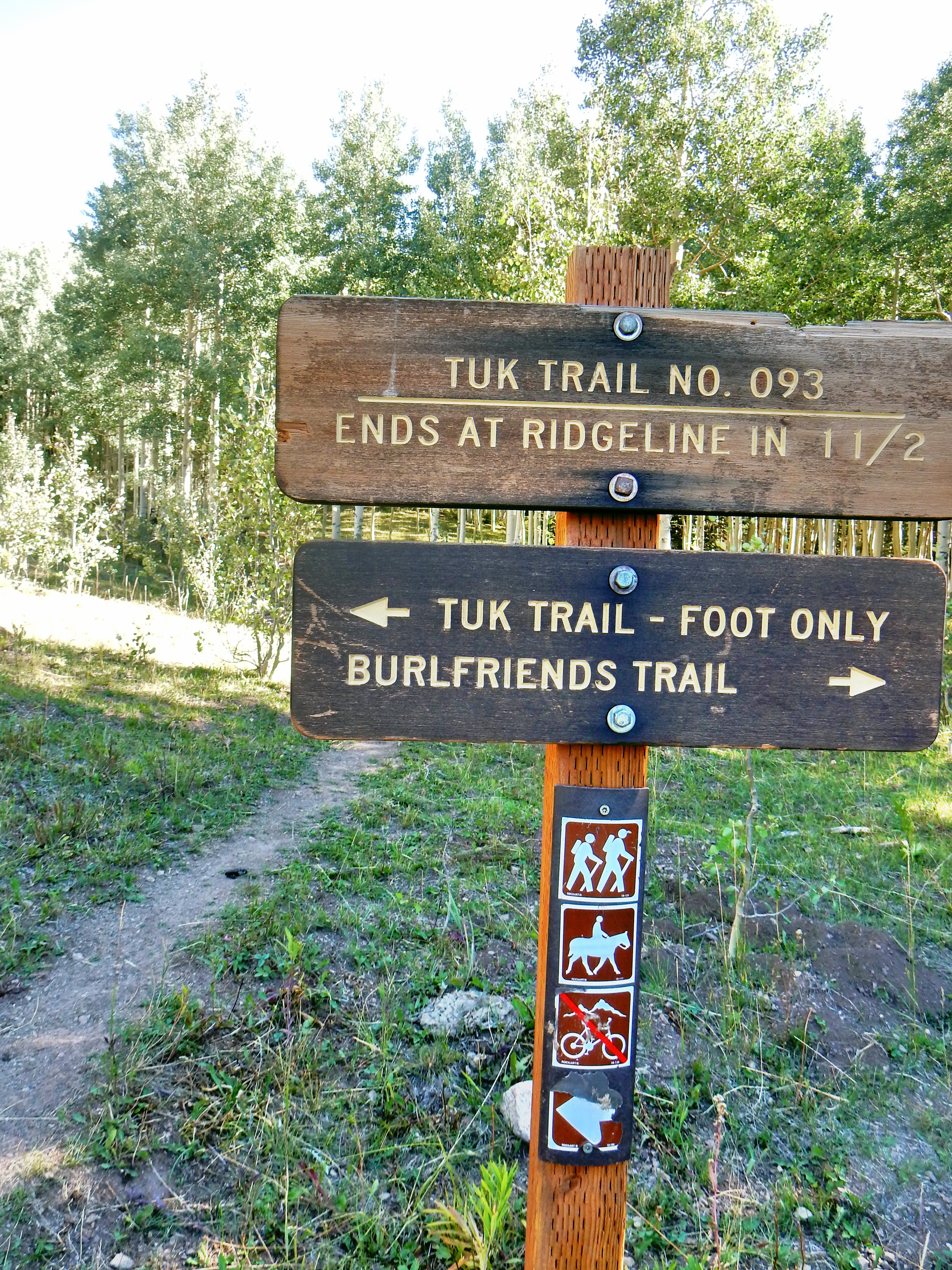
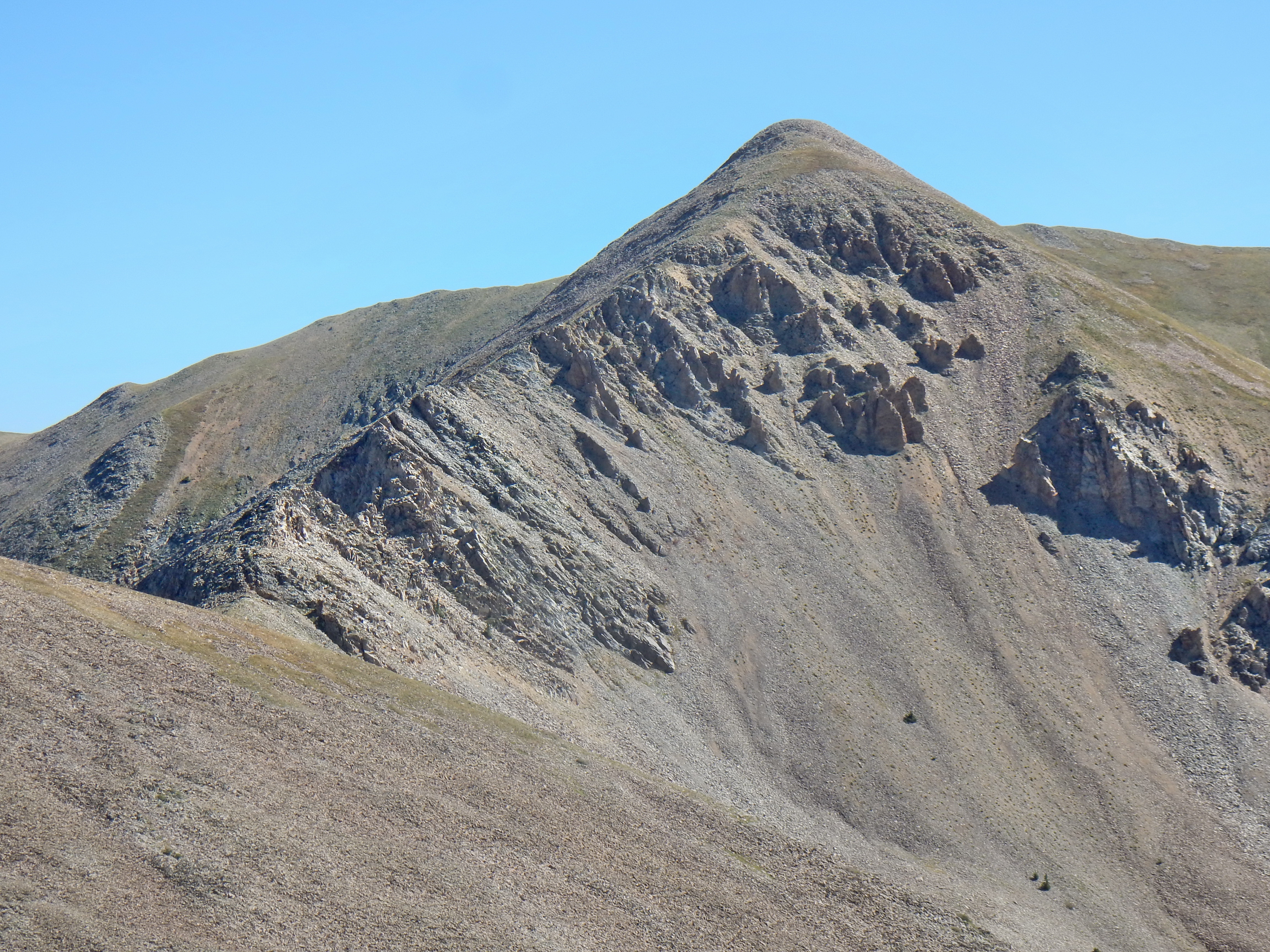
The top of La Sal Pass prominently promotes Mt. Peale as it is the highest mountain in the range. Although, the trail to the top of Mt. Peale is far less defined as you get up higher. We talked to a local (probably the only either hiker we saw all day) who found the route up Mt. Peale to be very difficult and decided to attempt via our Mt. Tuk trail. Well, this requires a traverse across a class 3 ridge known as the Razor Fang; so, you’re actually better off sticking to the Mt. Peale trail (named Burlfriends Trail) and tackling the challenging slope on that side of the ridge. Anyway, I’m mostly writing this for future reference.
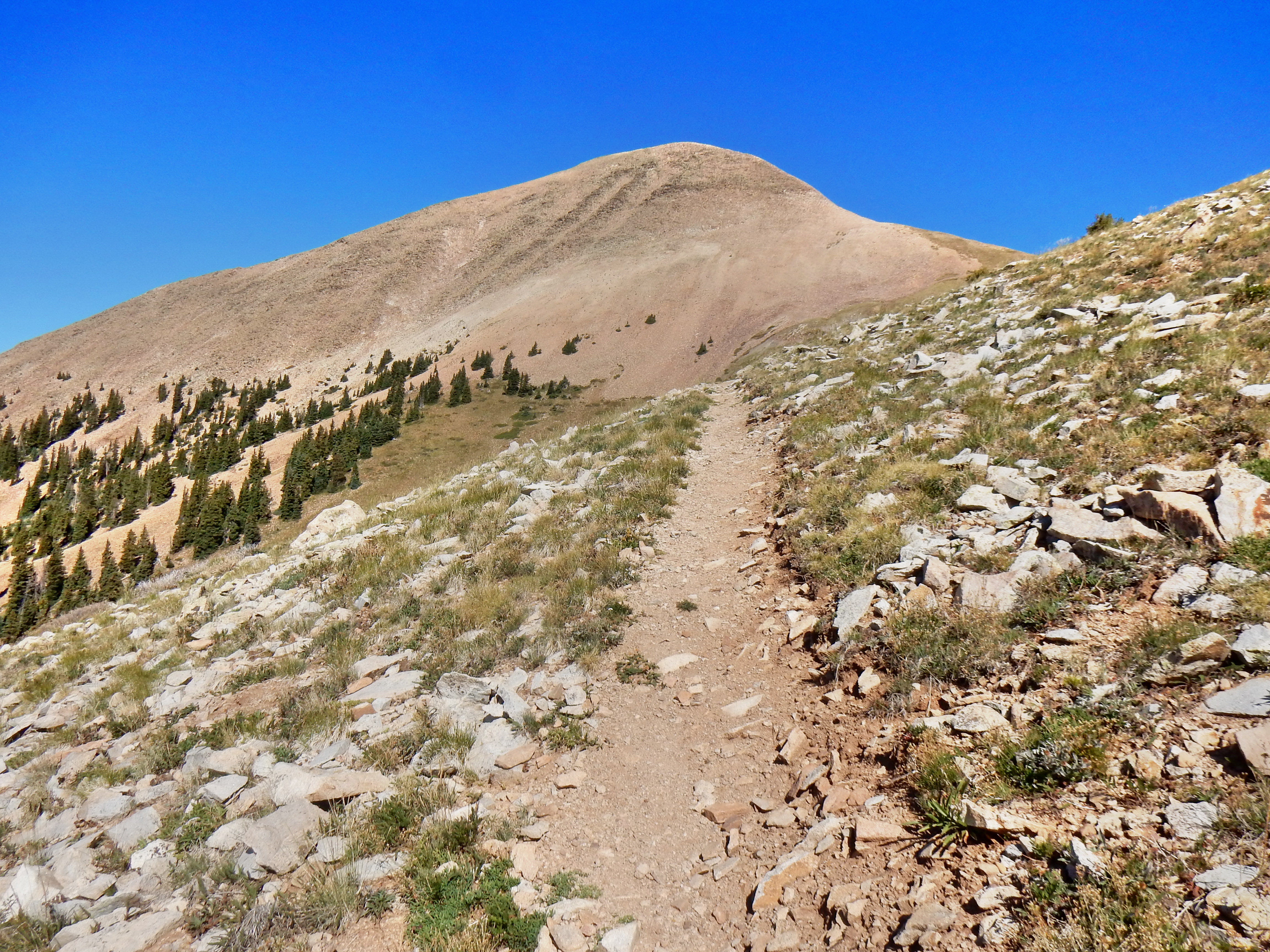
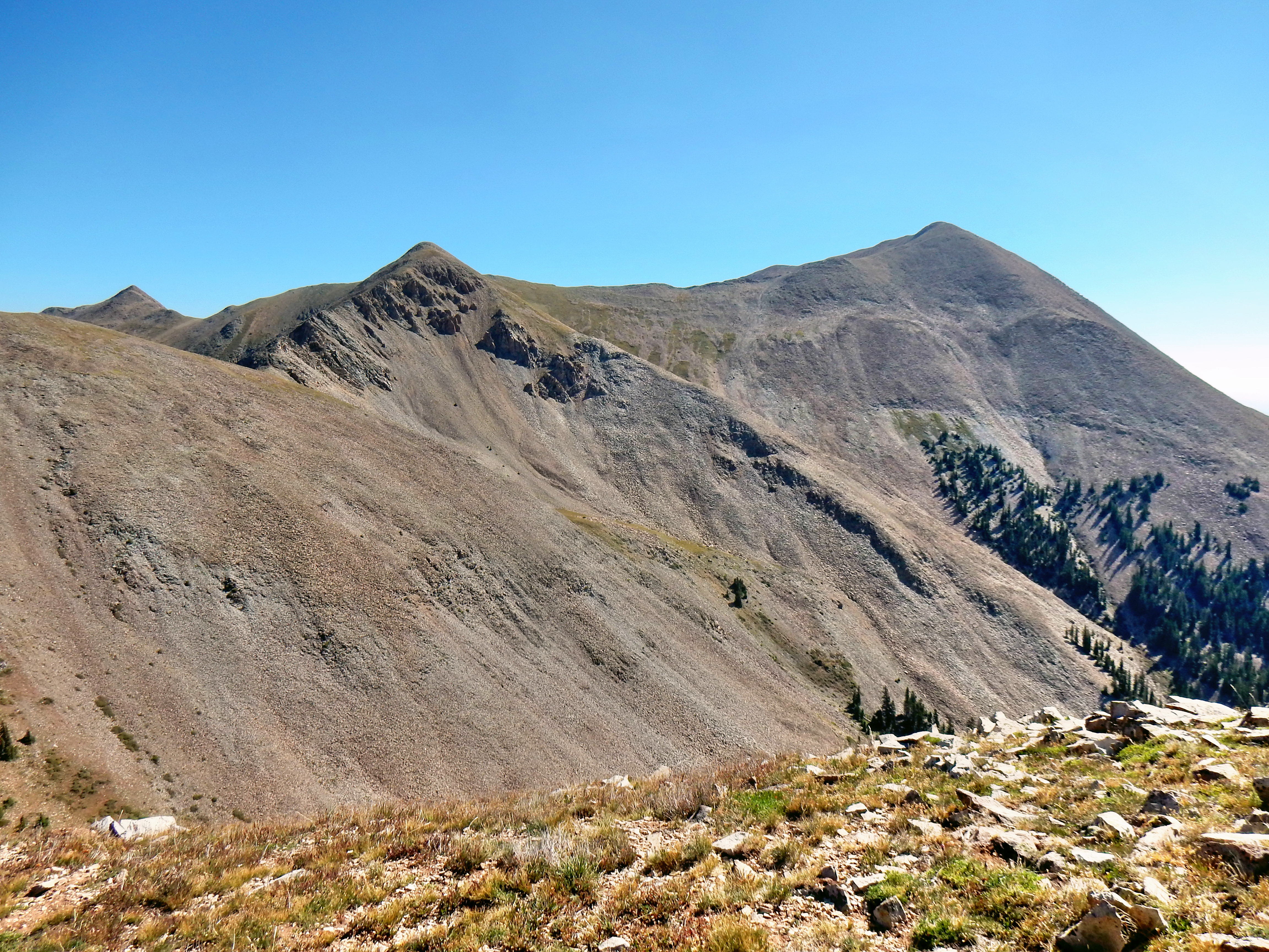
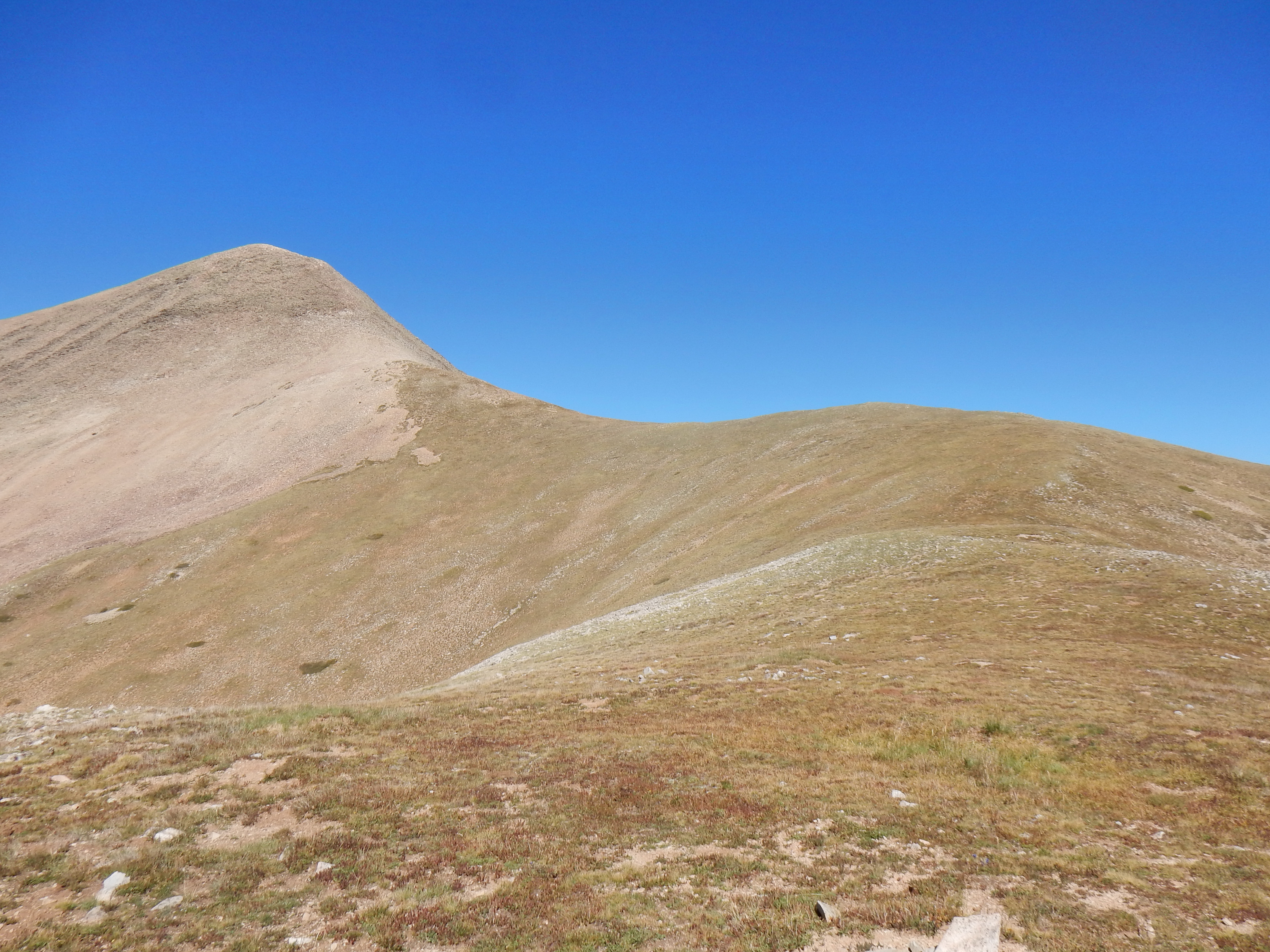
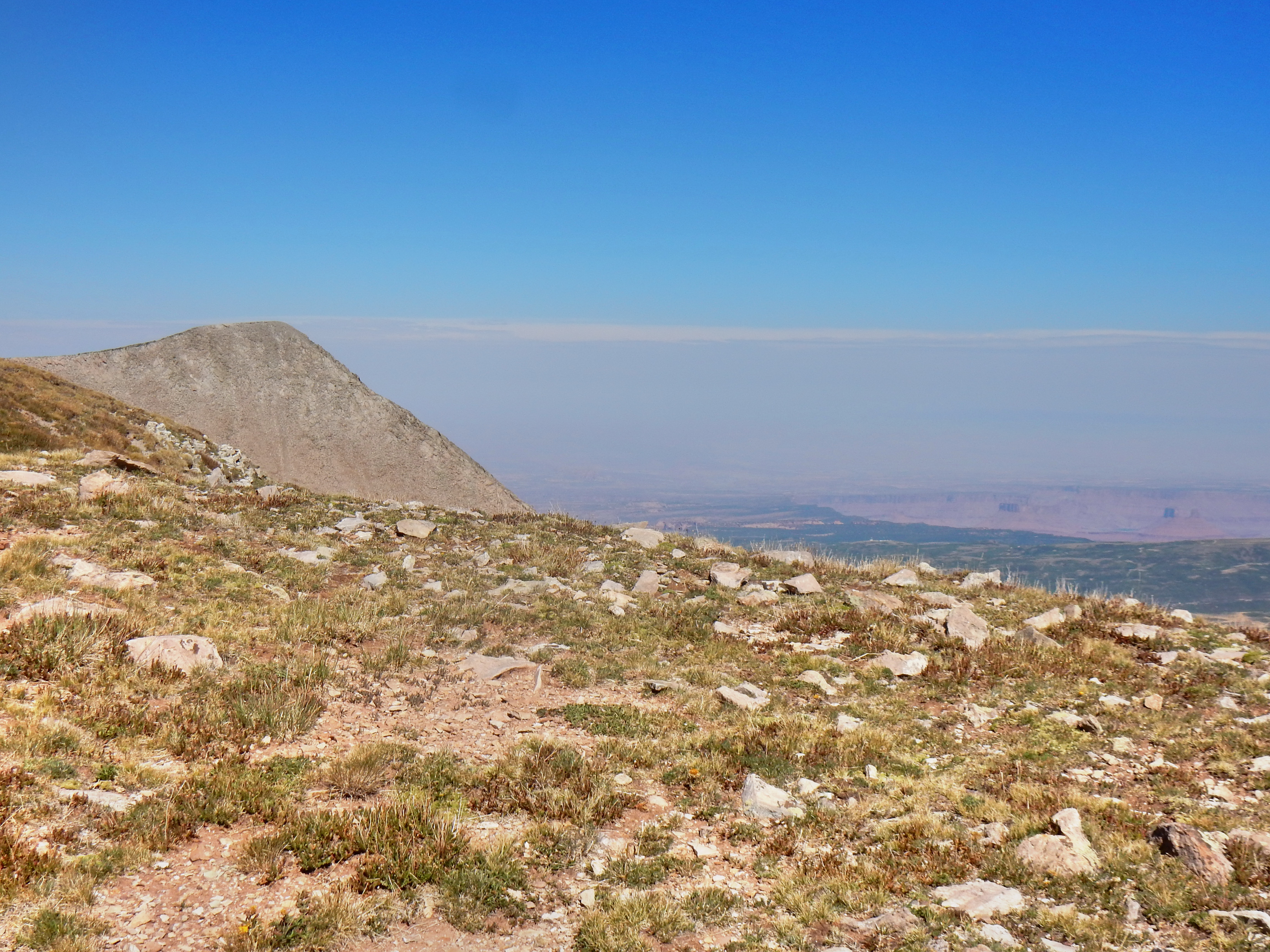
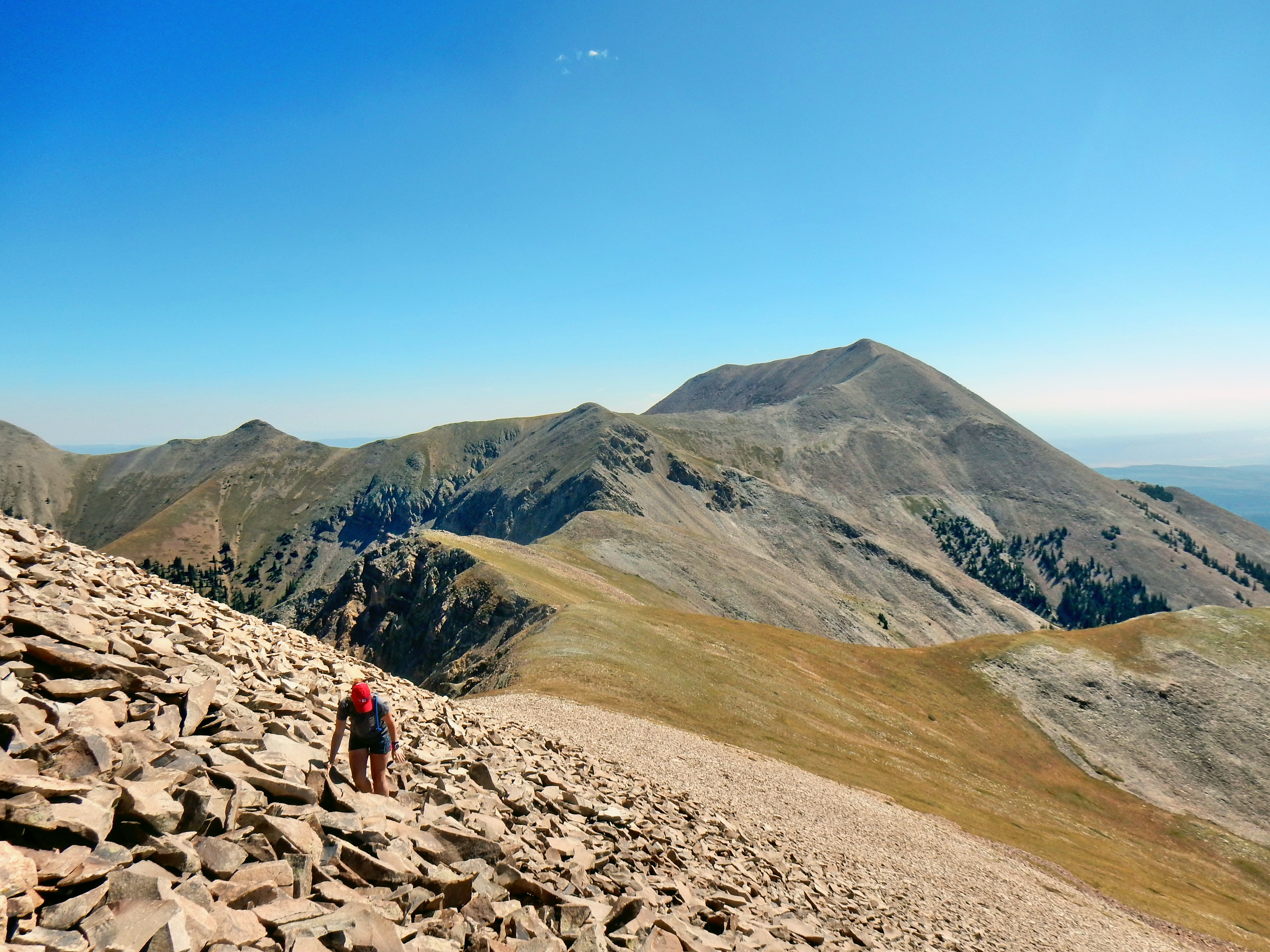
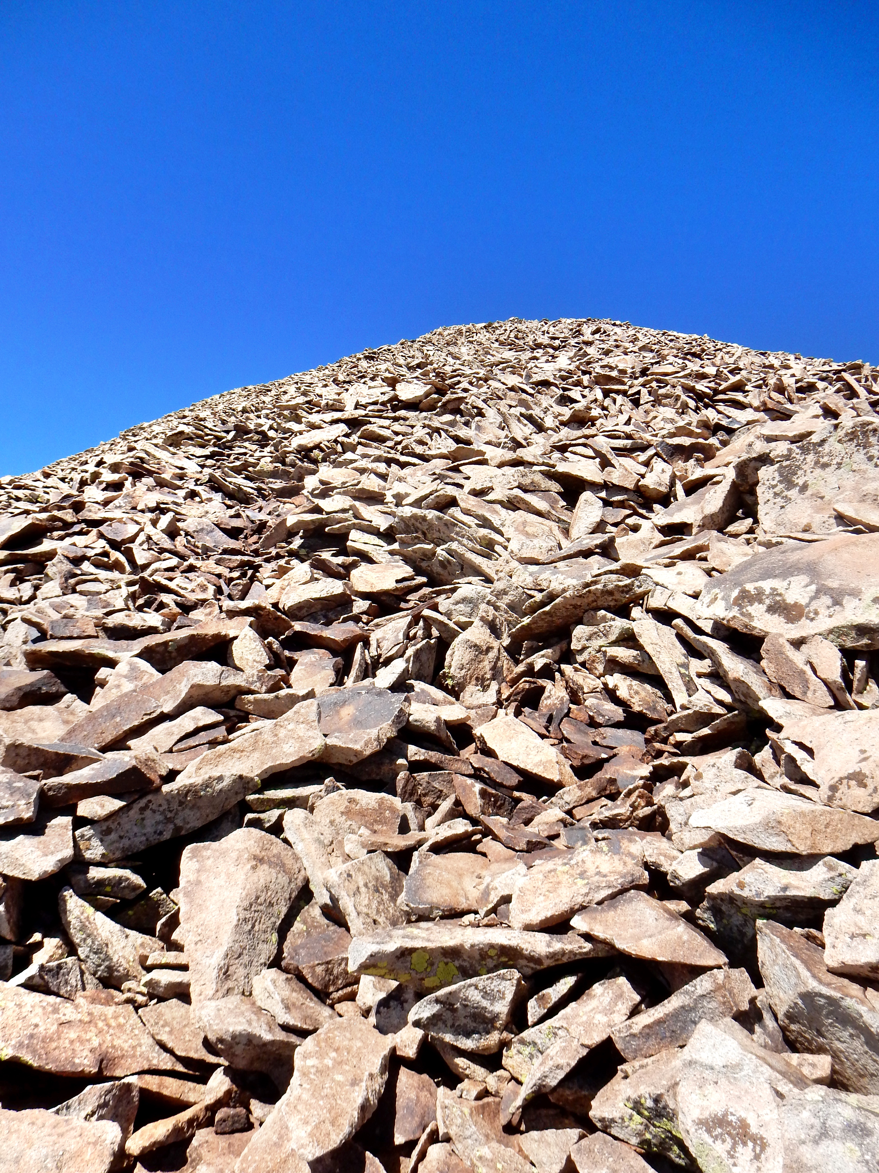
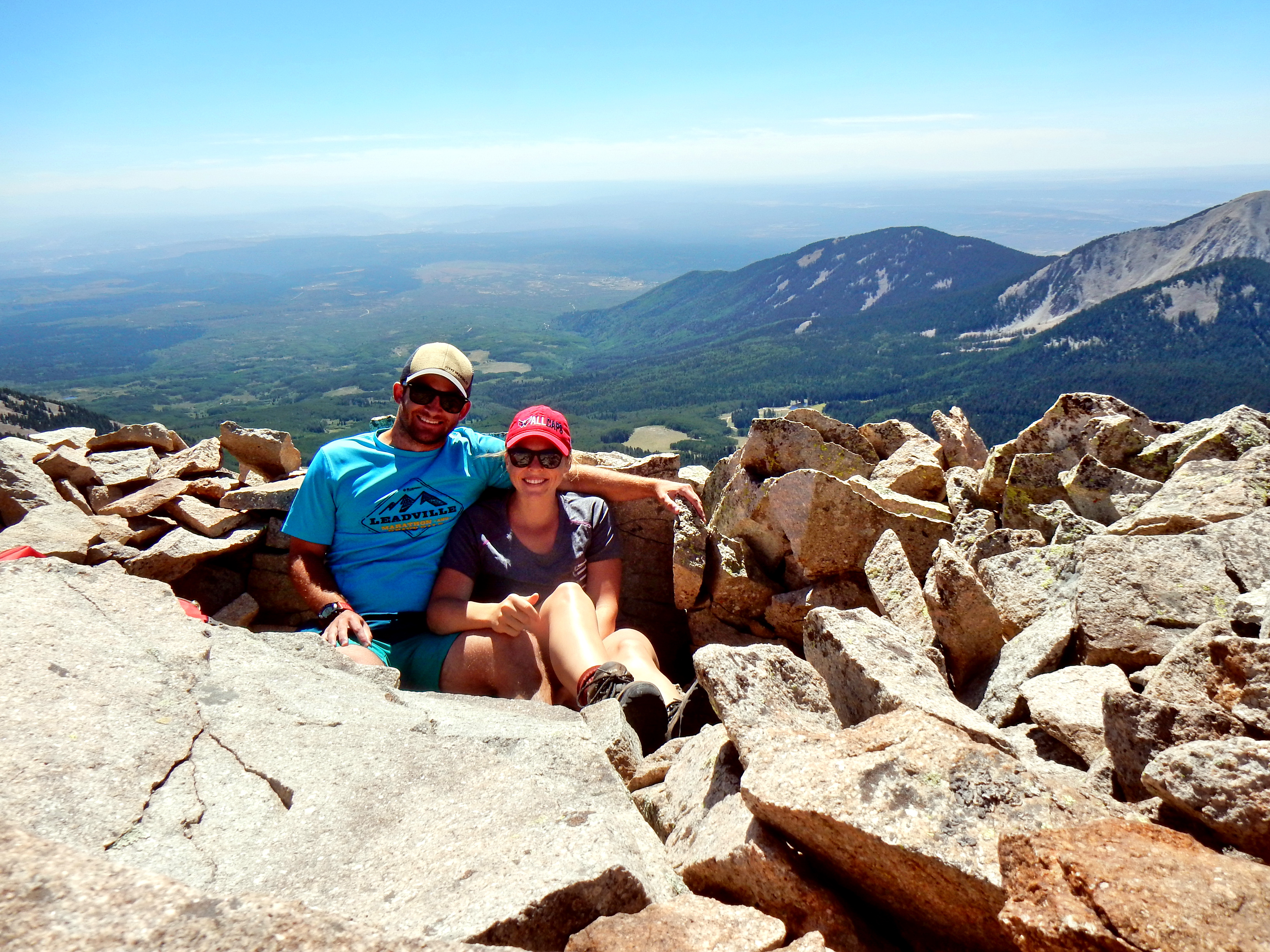
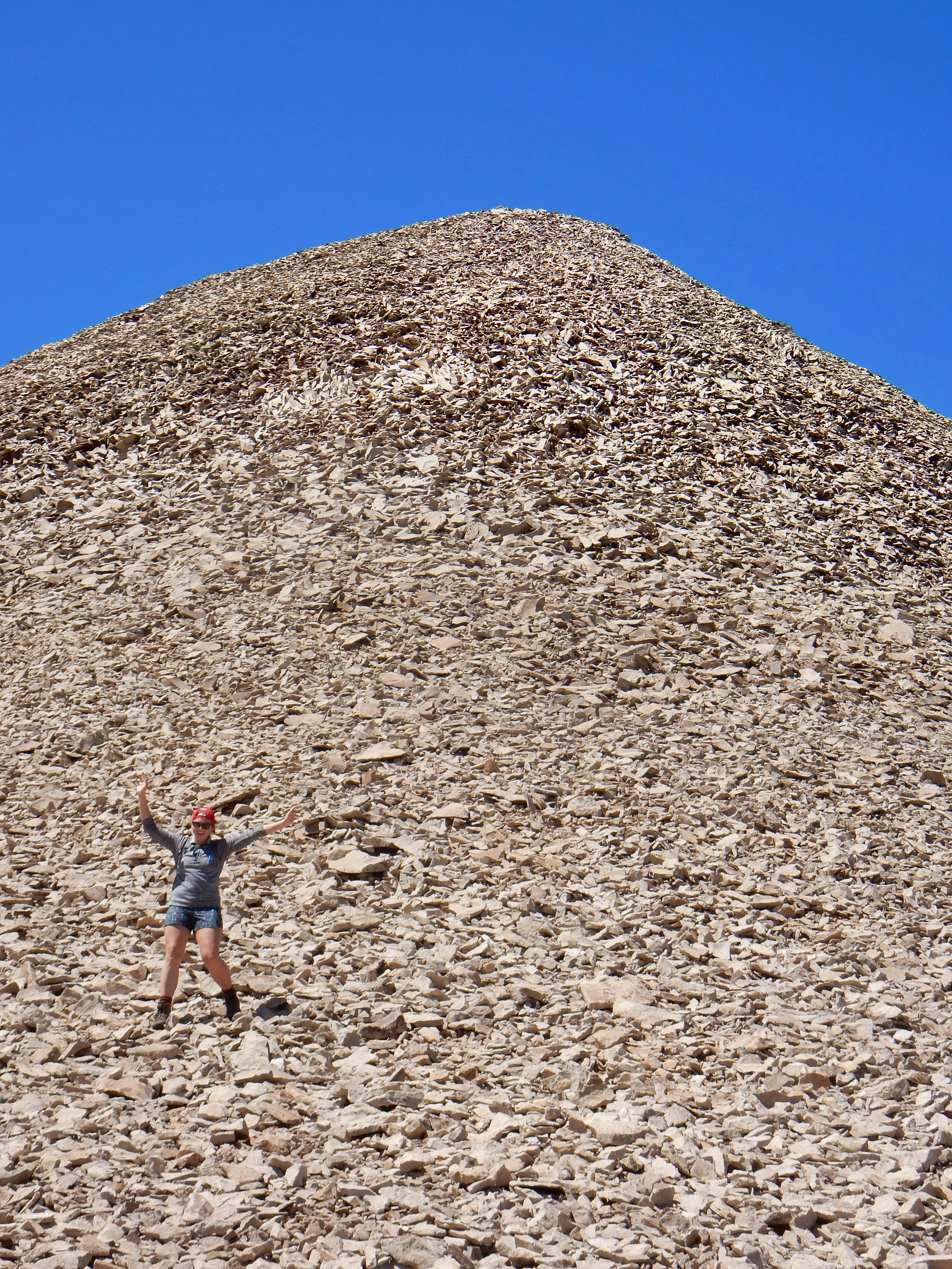
It was slow going on the looser rock, but it was a nice and flat summit and a great day to enjoy up there; if not a little windy.
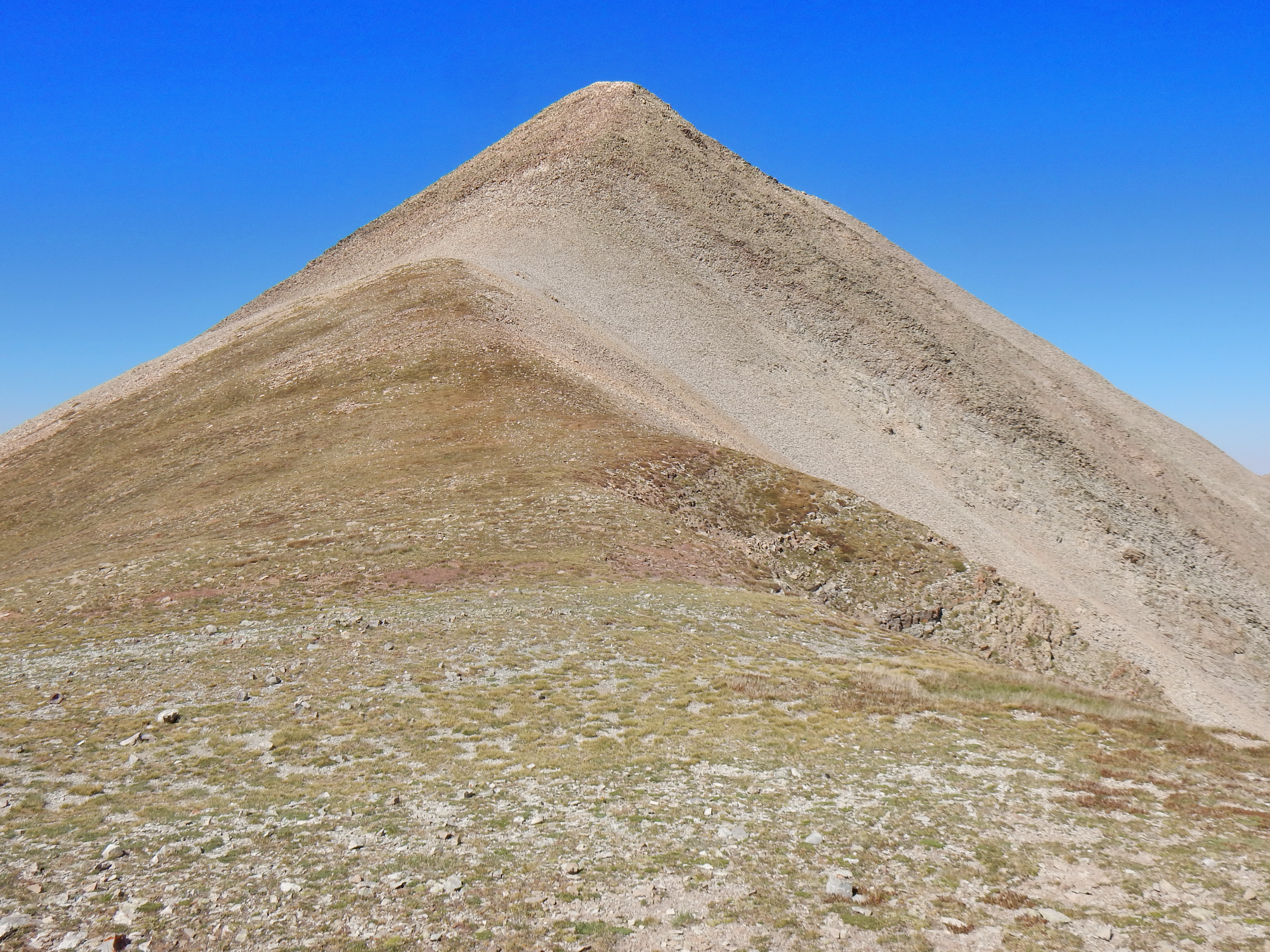
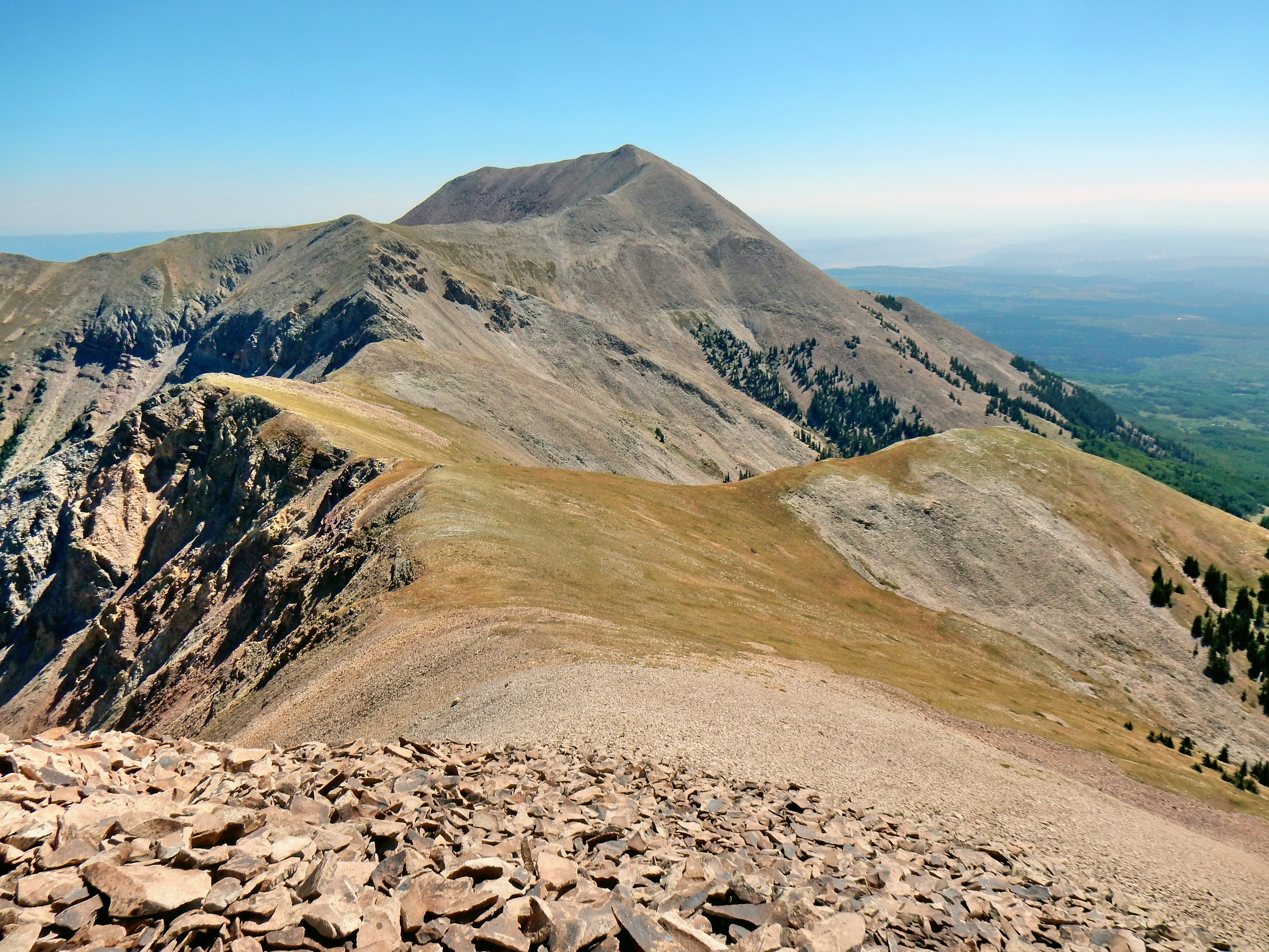
Mt. Tukuhnikivatz (12,482′)
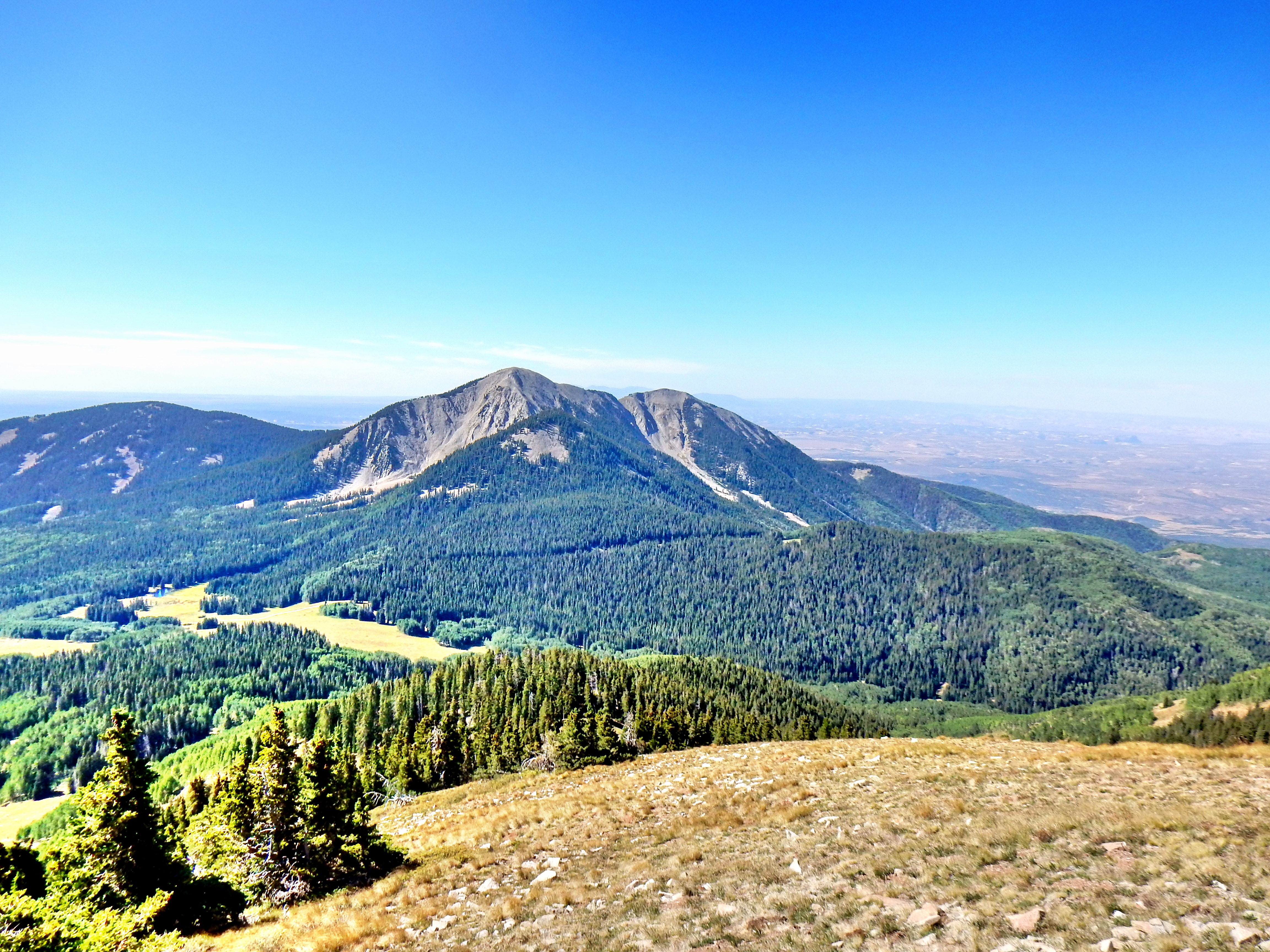
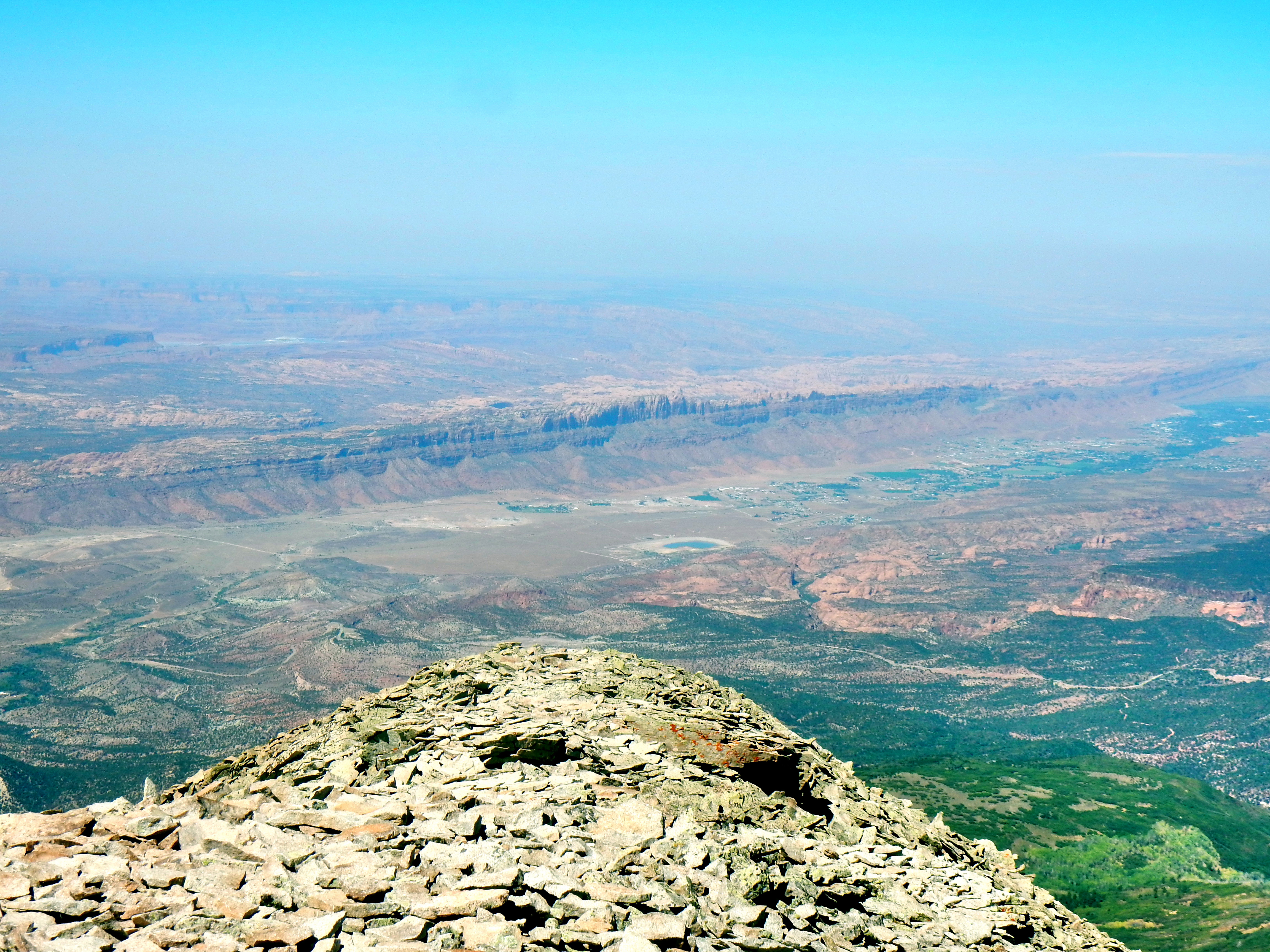
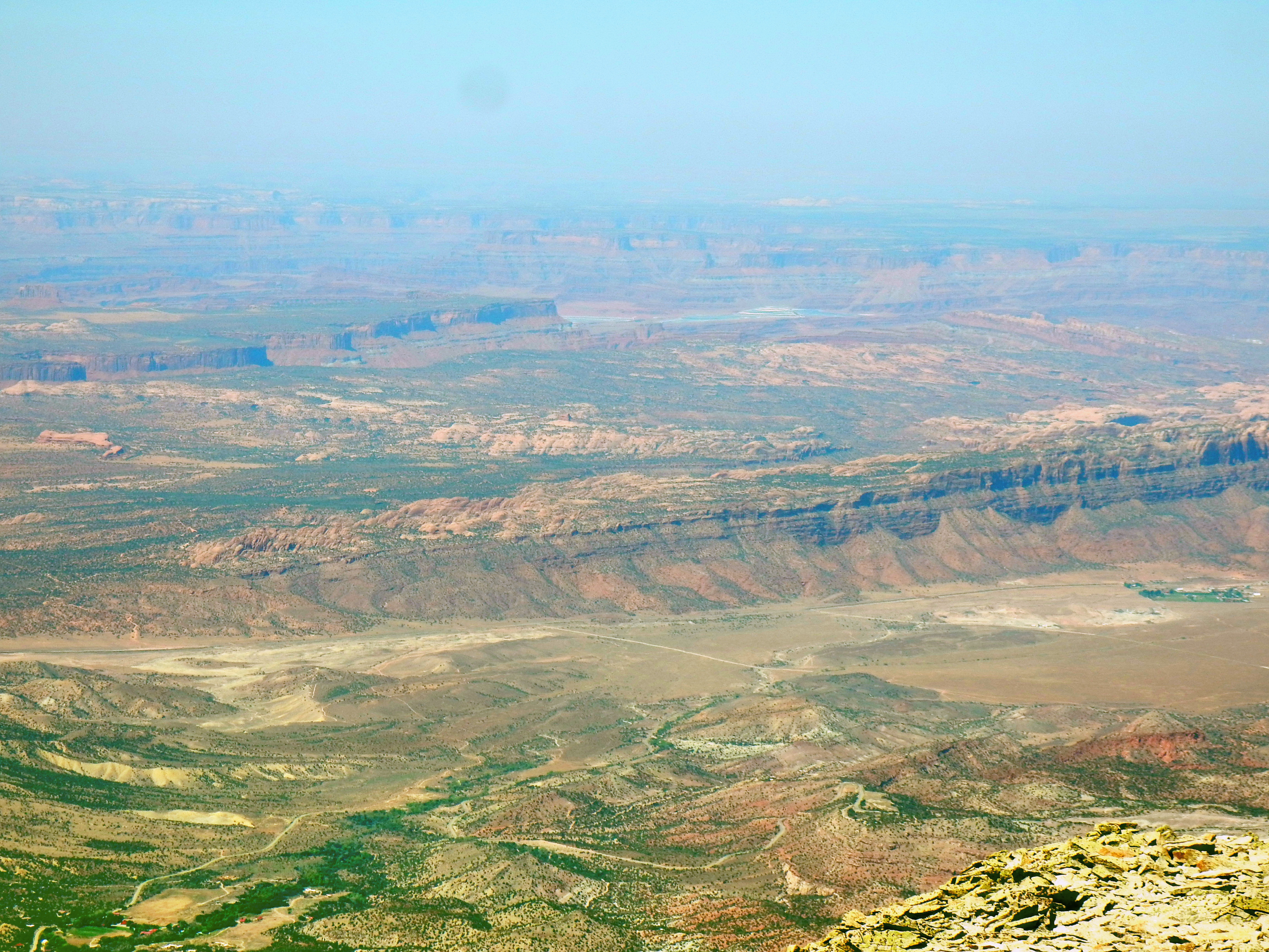
Time for some panos!
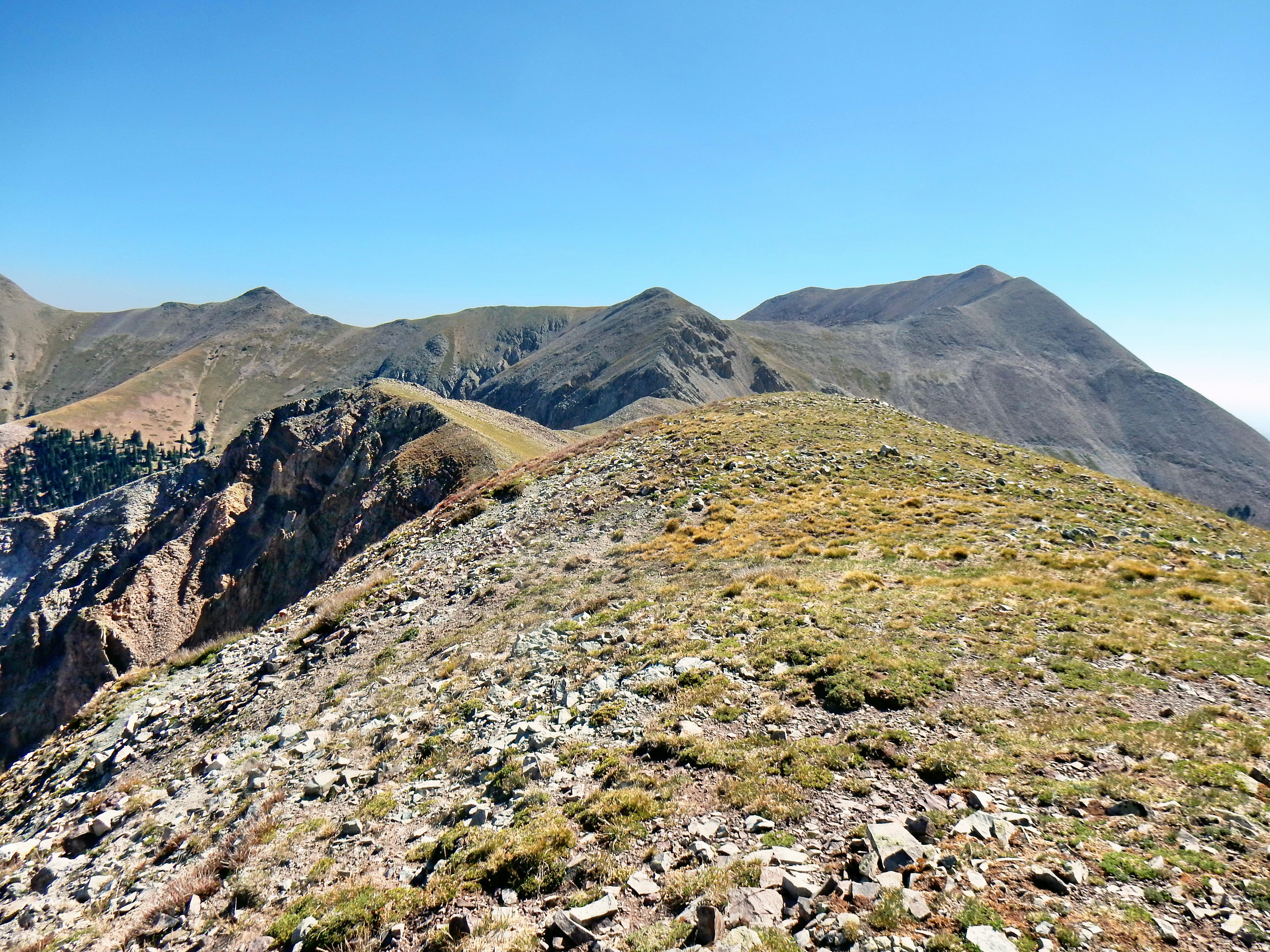
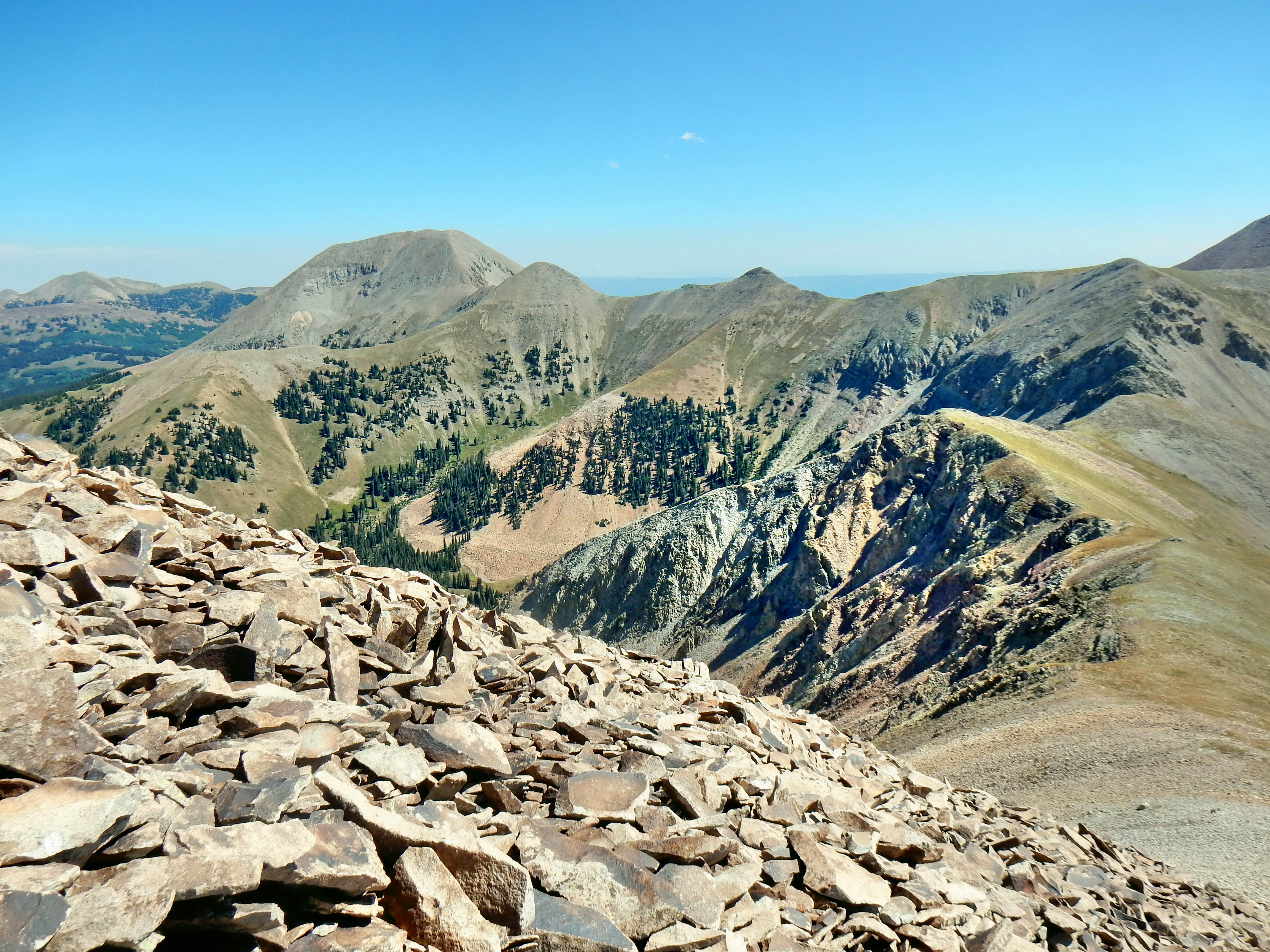
Alright, let’s zoom into this pano. now so we can see the north group of the La Sals better…
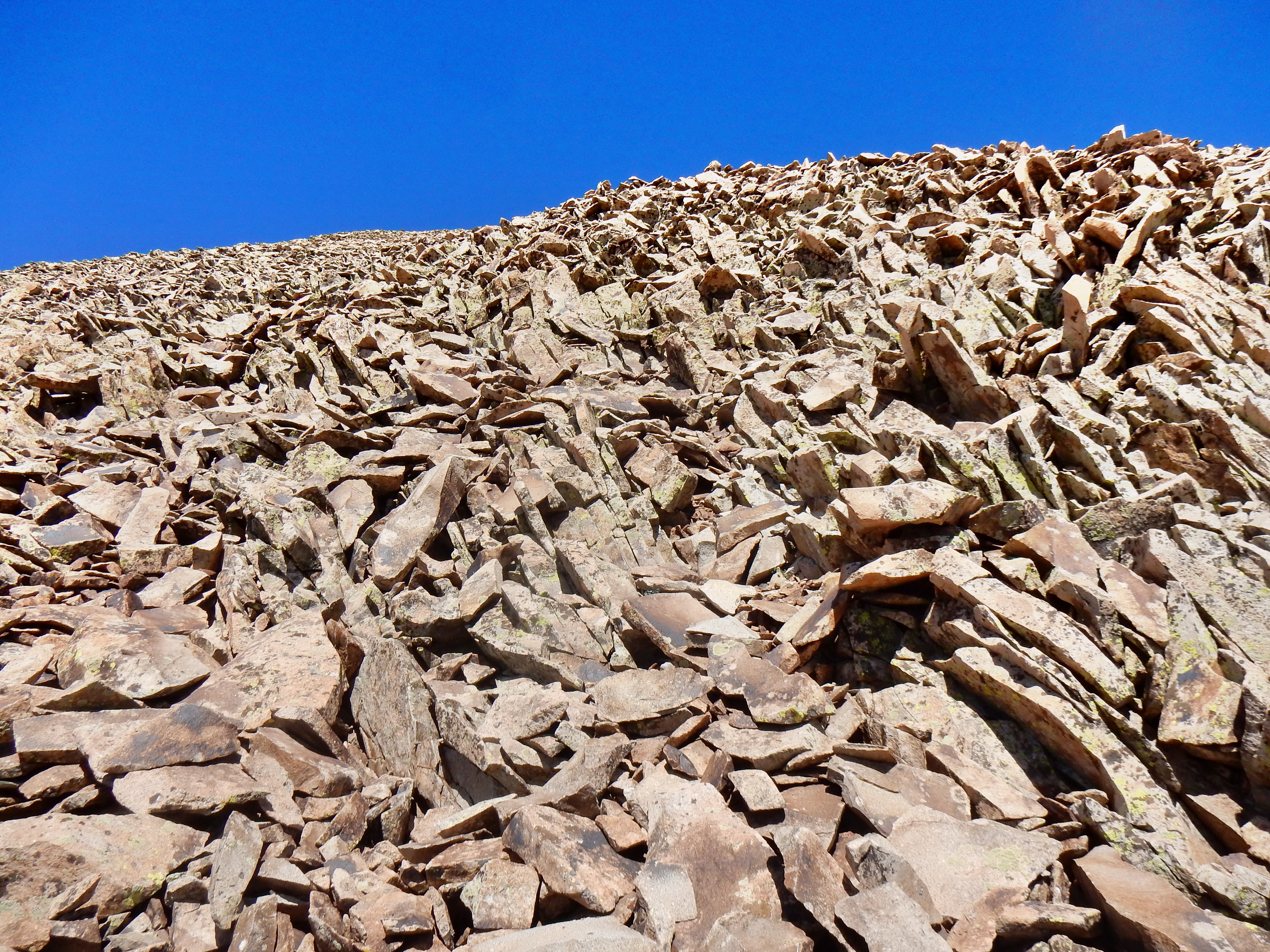
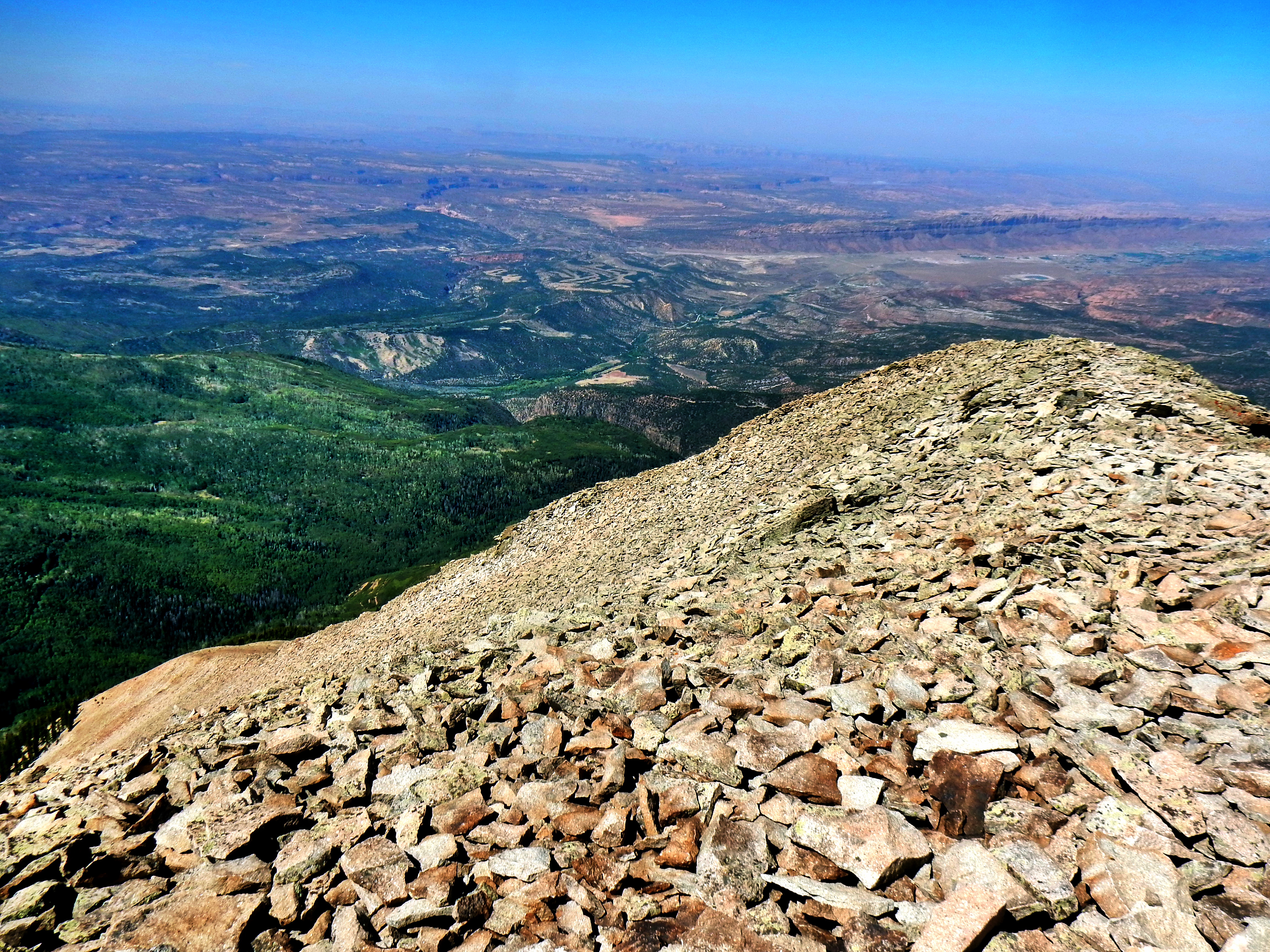
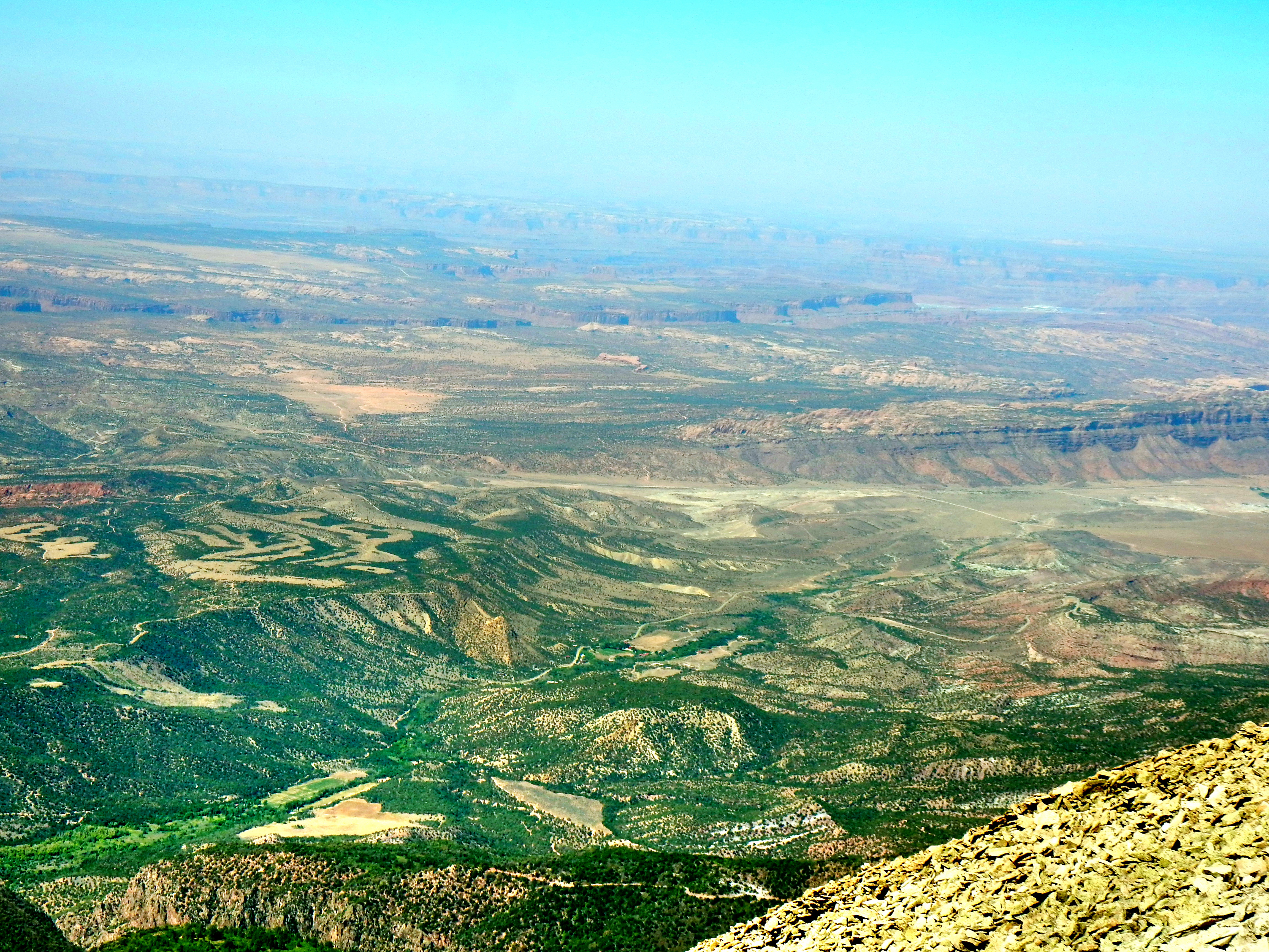
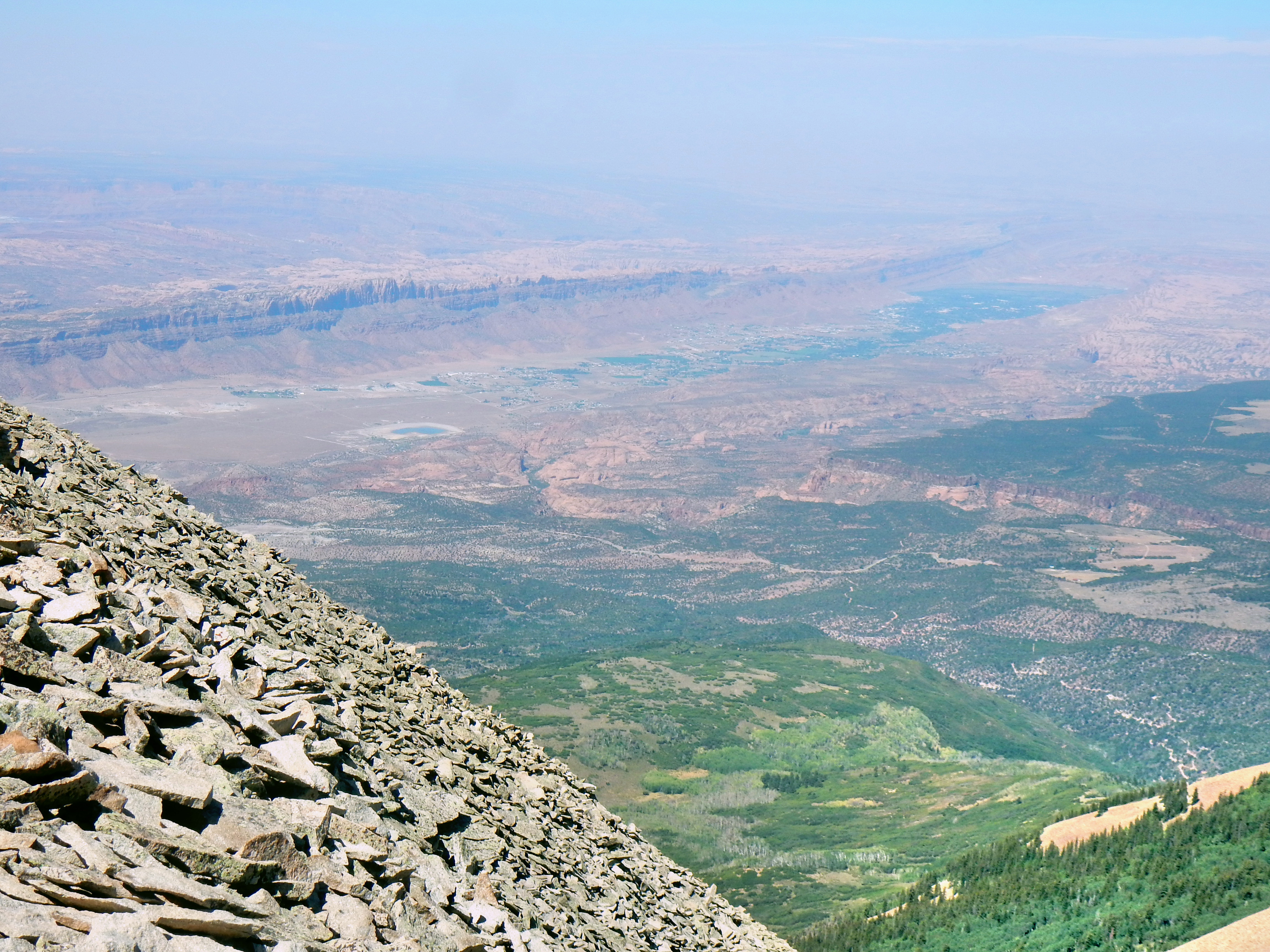
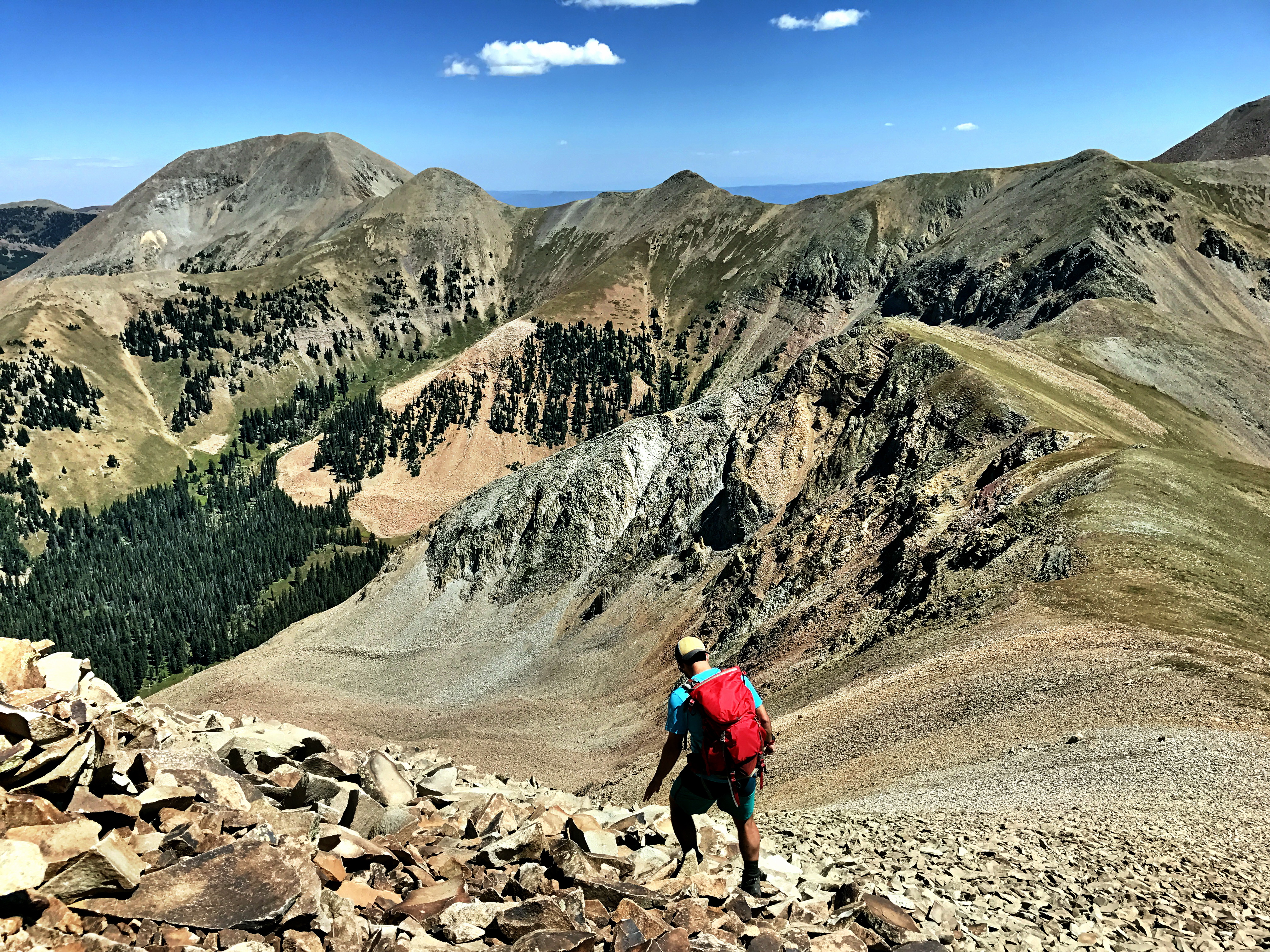
A few pictures from the way down…
See you next time Utah! Next stop, Telluride!
DVD Extras:
Here is a preview video of the Ute 100! Registration opens on Oct. 29th, so I might not be ready to sign-up in time this year, but this race is definitely high on my list! Here is the race website if Googling is too much work: https://www.runbumtours.com/ute-100-la-sal-utah