Lenawee Mountain is one of those mountains I’ve stared at for years when heading over Loveland Pass skiing at Keystone or Arapahoe Basin. In fact, it is a prominent backdrop to A-Basin and is right behind the East Wall chutes. The ski area trail map lists the East Wall as coming down from Arapahoe Basin Mountain, but I’d call it more of a ridge of Lenawee Mountain; not that it really matters. So, how did Lenawee Mountain get on my radar all the sudden?
You can hike Lenawee Mountain from heading up the ski area trails, which sounds awesome also! It is hard to imagine that route being better than my route from Montezuma though!
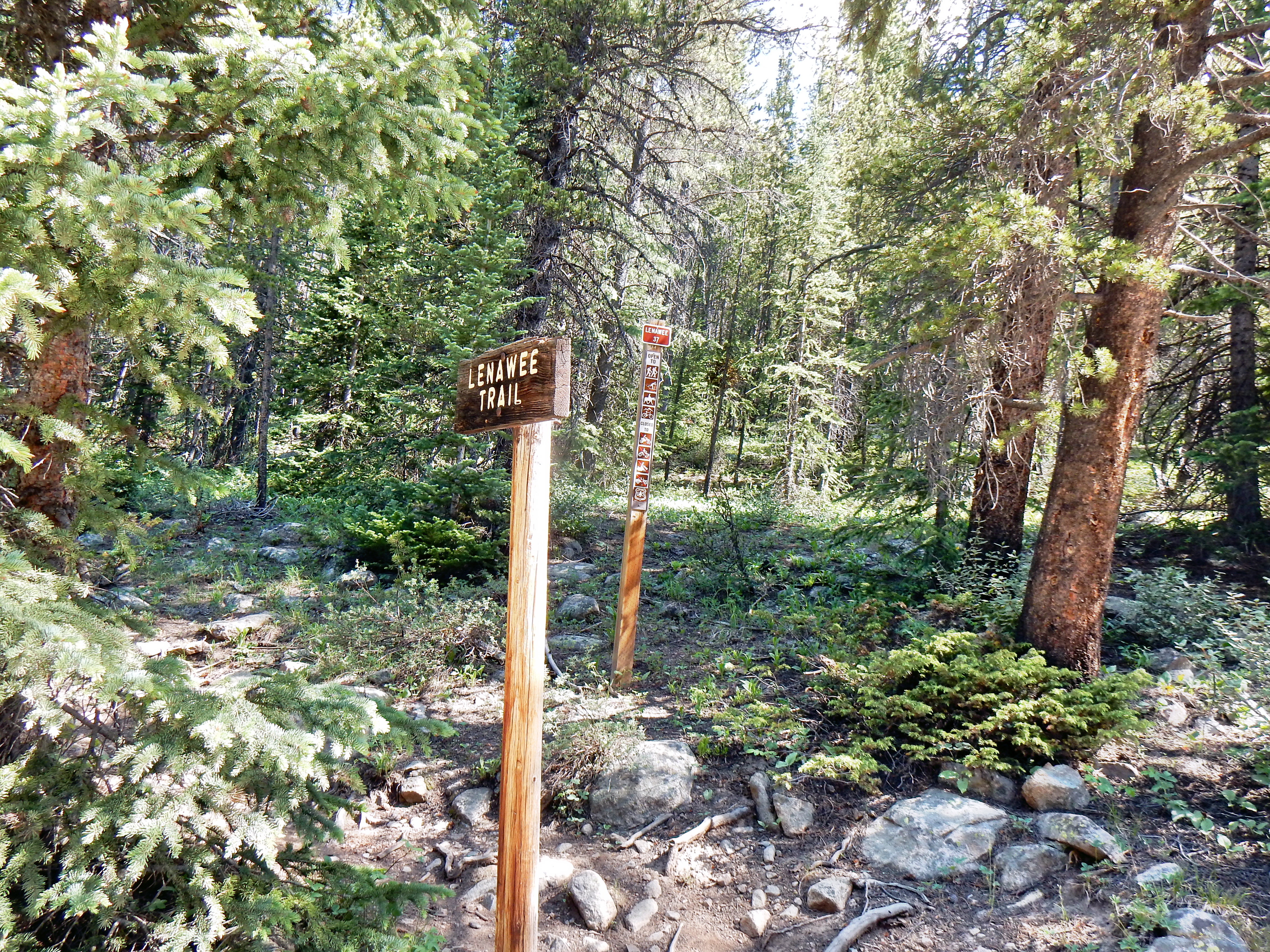
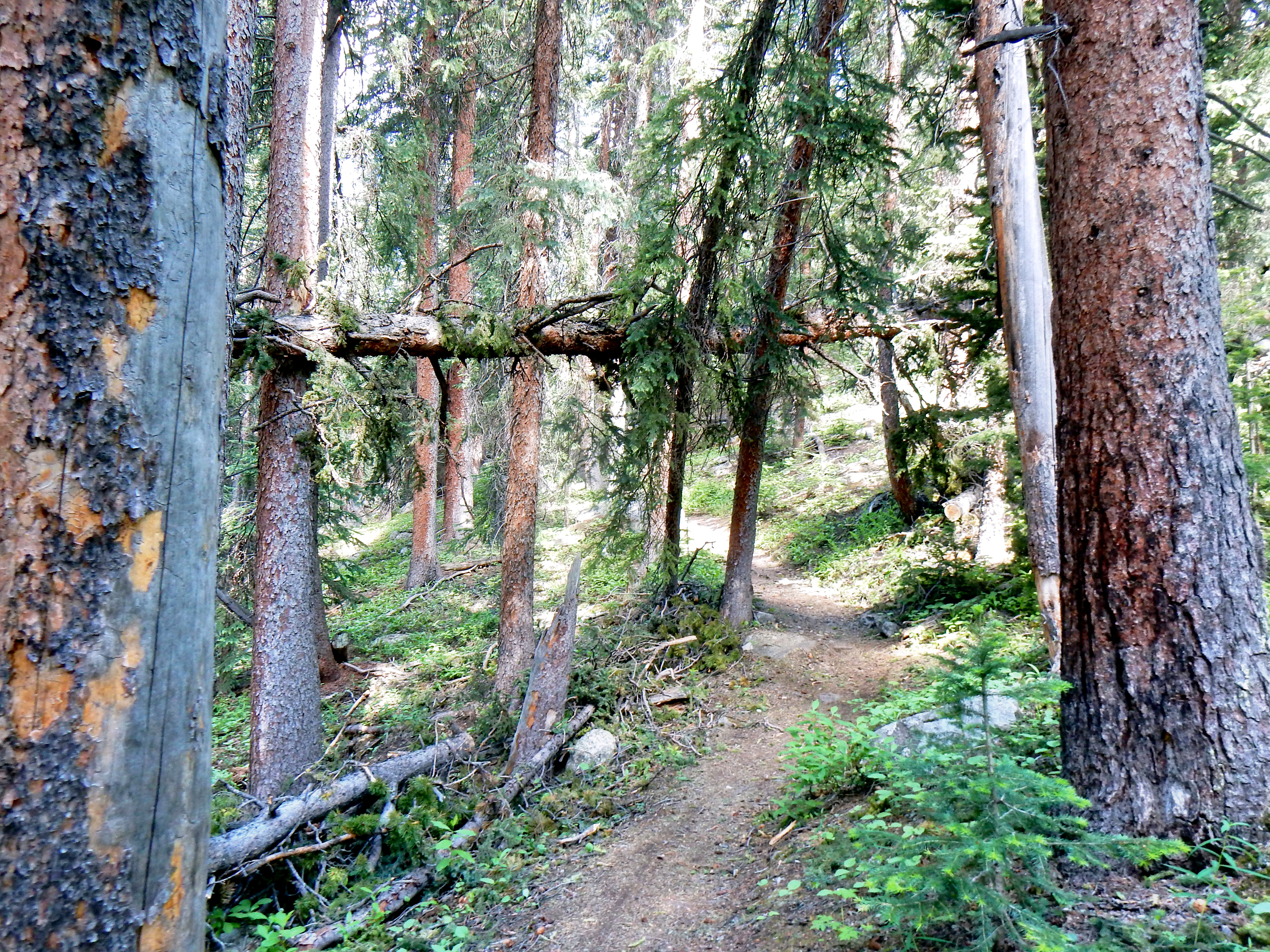
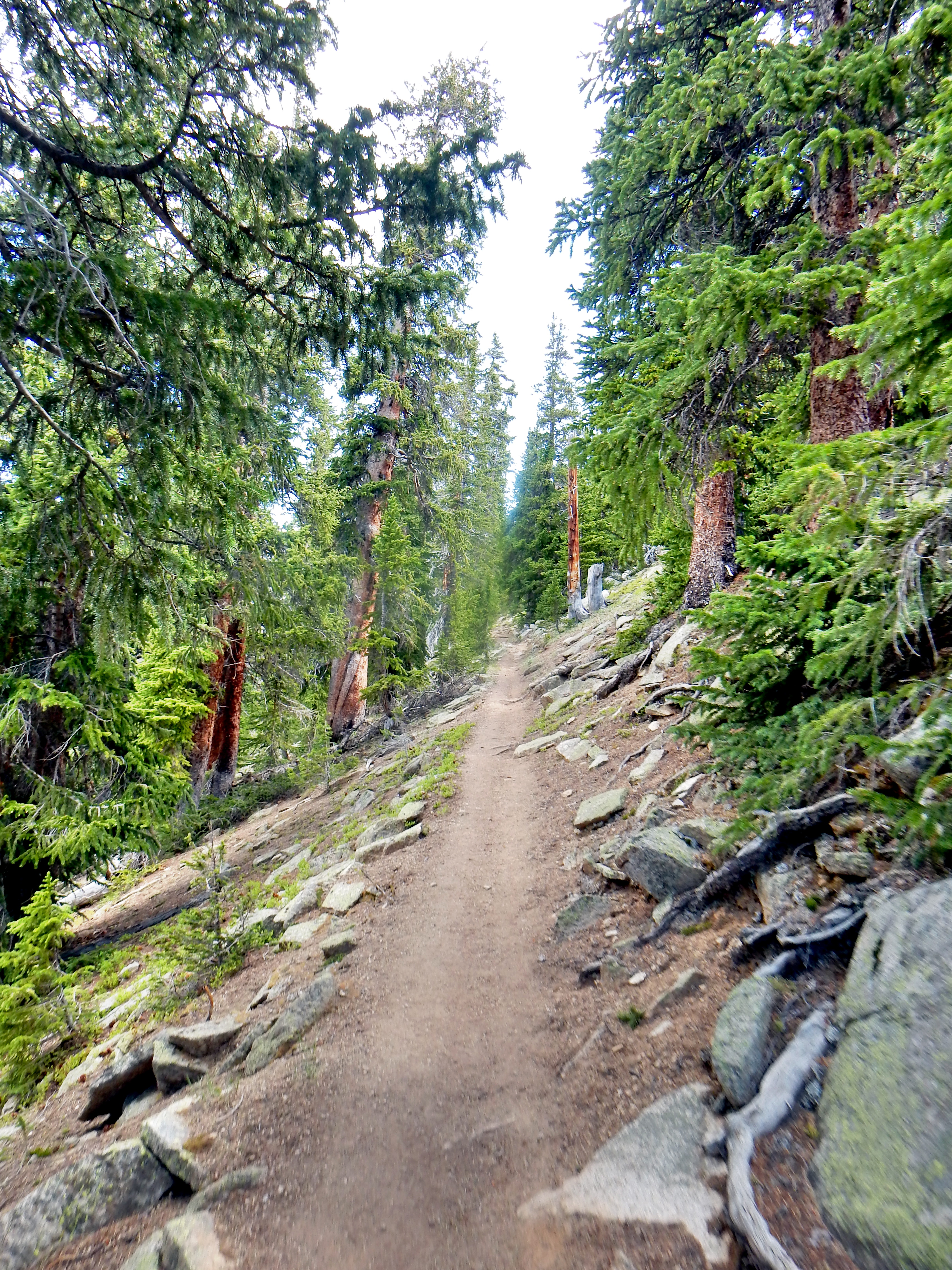
Well, it was very simple actually; I follow Arapahoe Basin Ski Area on Facebook and they posted a picture advertising their bike/hike trails up the mountain. The pictures showed very little or no snow, so I started to investigate. I determined that the best approach to Lenawee Mountain was actually from the Peru Creek side of the mountain, so I did not actually use the ski area trail. Instead, I started on the Lenawee Trail which eventually leads to the top of the ski area if followed the entire way. I was very impressed with the quality of the trail on my way up and it was a great temperature despite for almost 10am start.
This was one of the simpler routes I’m done recently, which was sort of a welcome change; not everything has to be difficult! The trail was fairly steep from the beginning and wasted little time getting to the point. My plan for the day was to enjoy a relatively climb and get some good elevation training. The following week I would be running the Leadville Silver Rush 50 mile race, so I wore my hiking boots up Lenawee and ignored my pace. I didn’t know much about Lenawee Mountain prior to visiting, but it turned out to be a truly awesome hike!
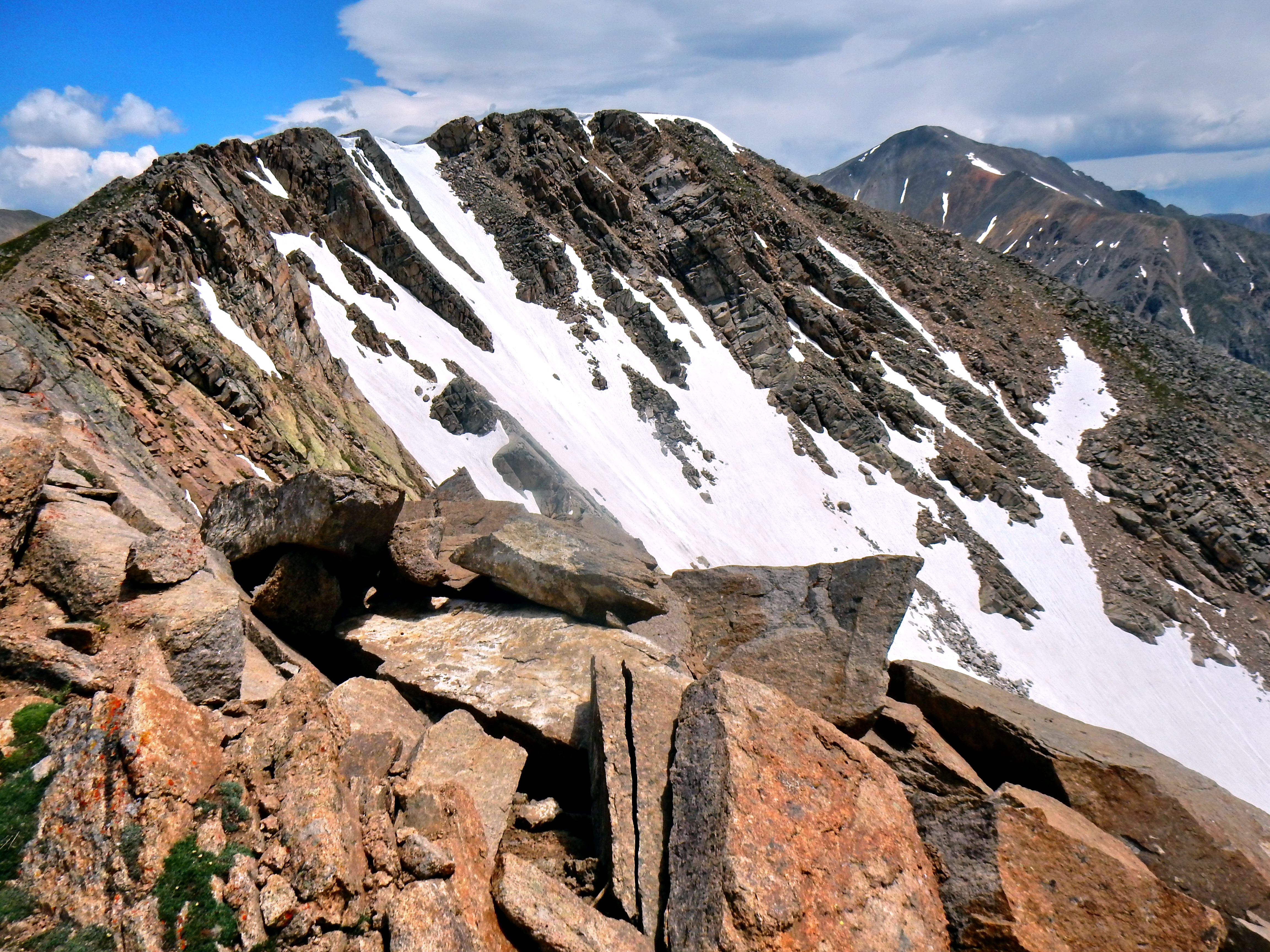
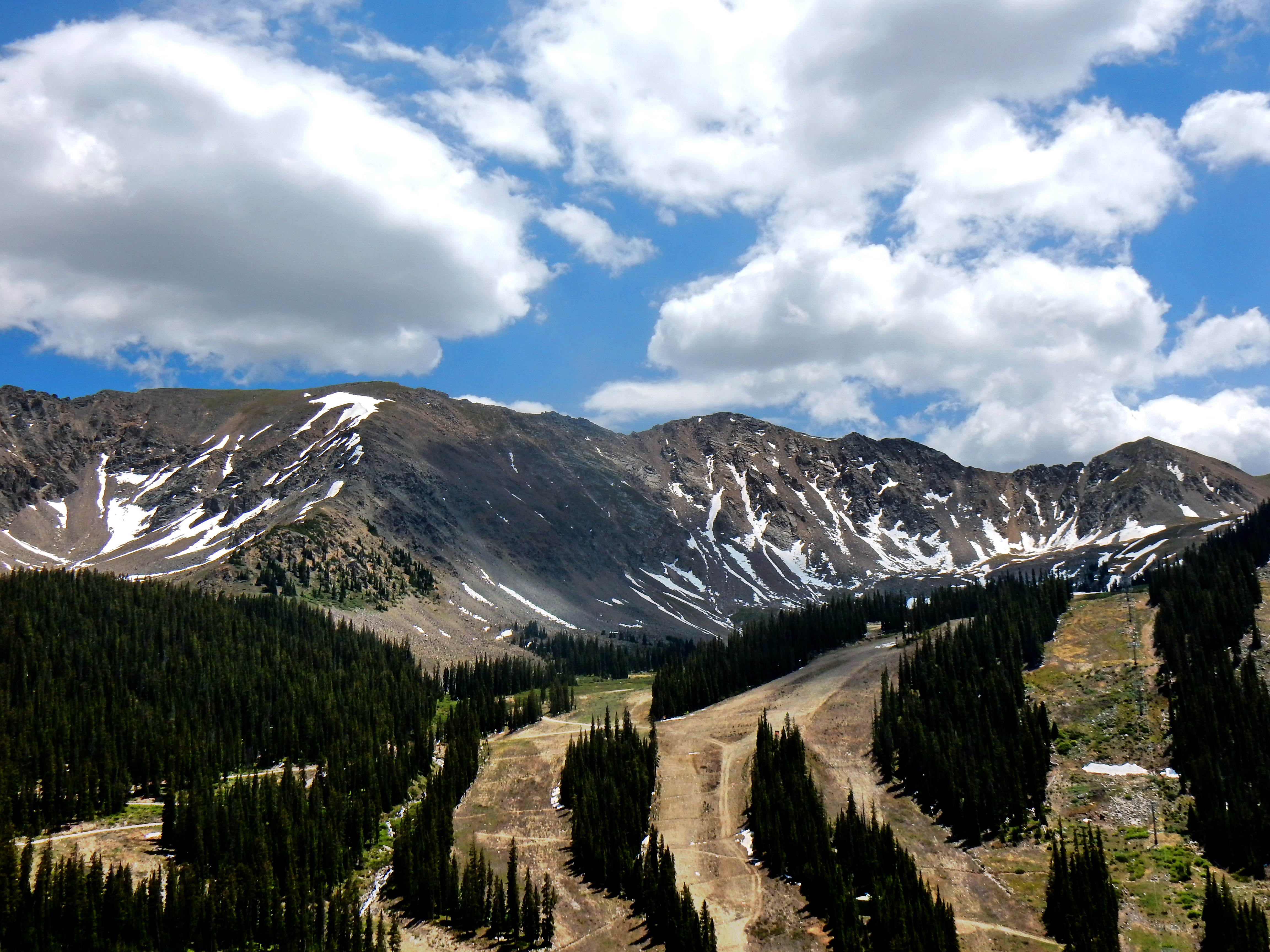
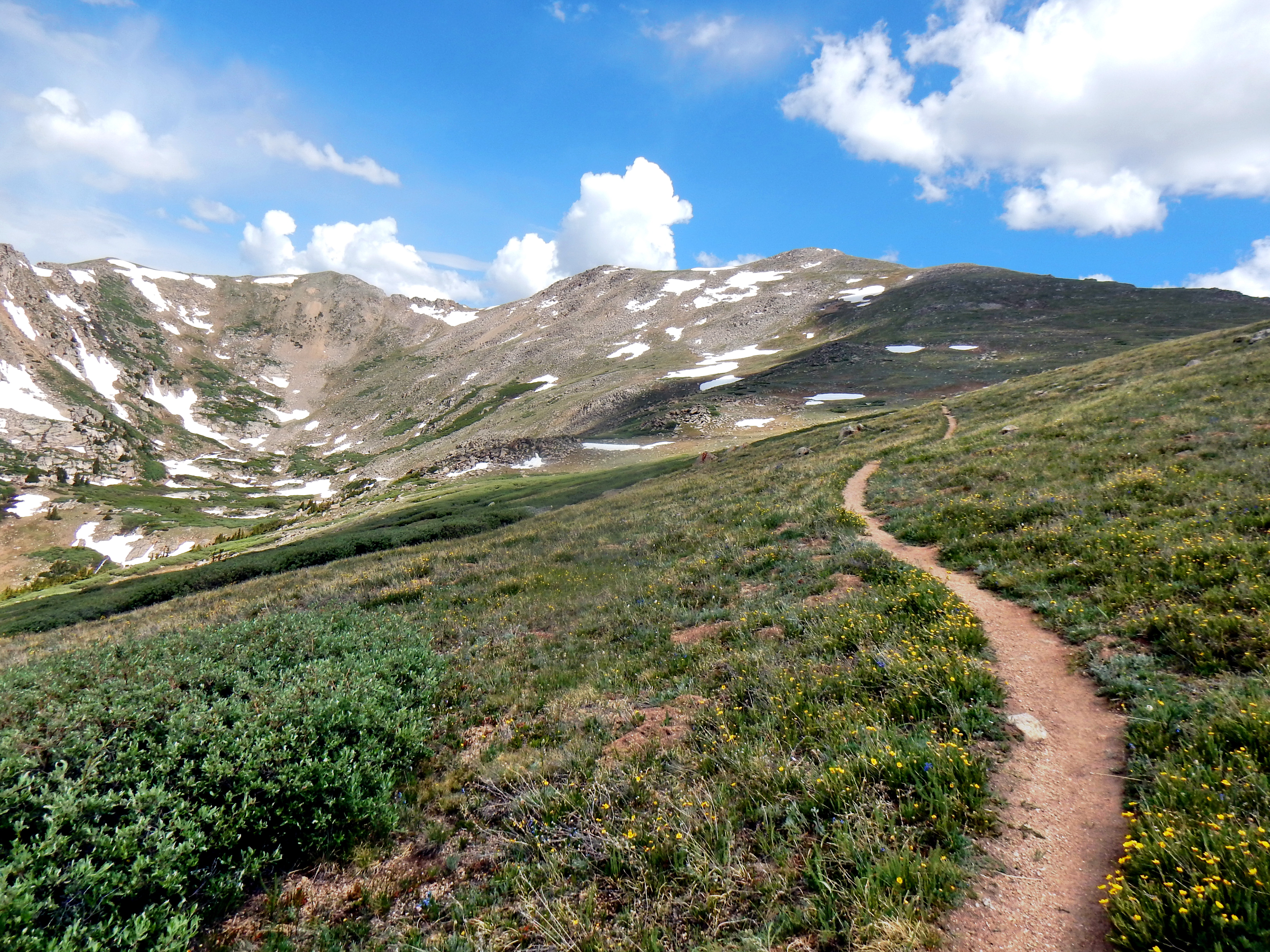
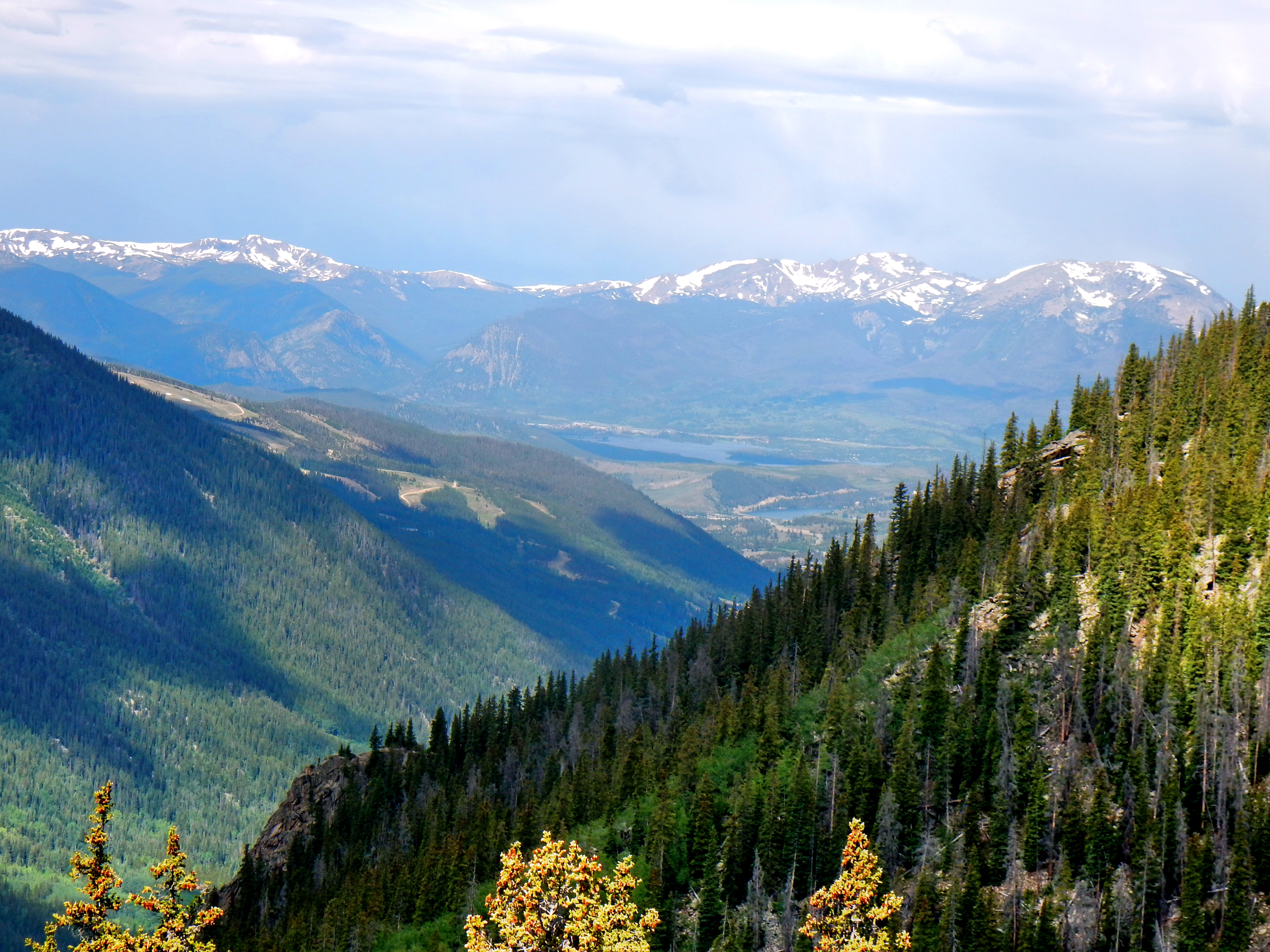
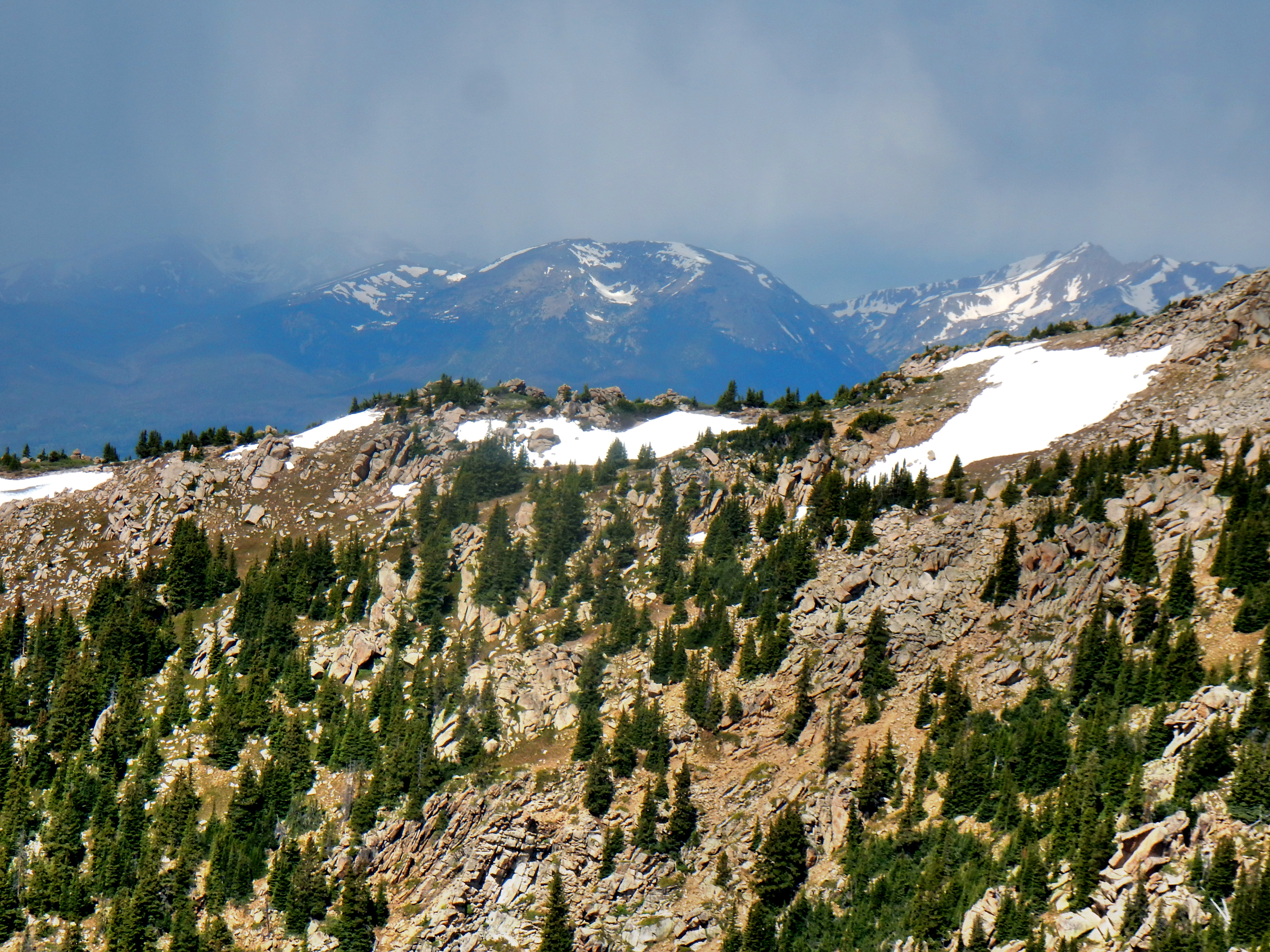
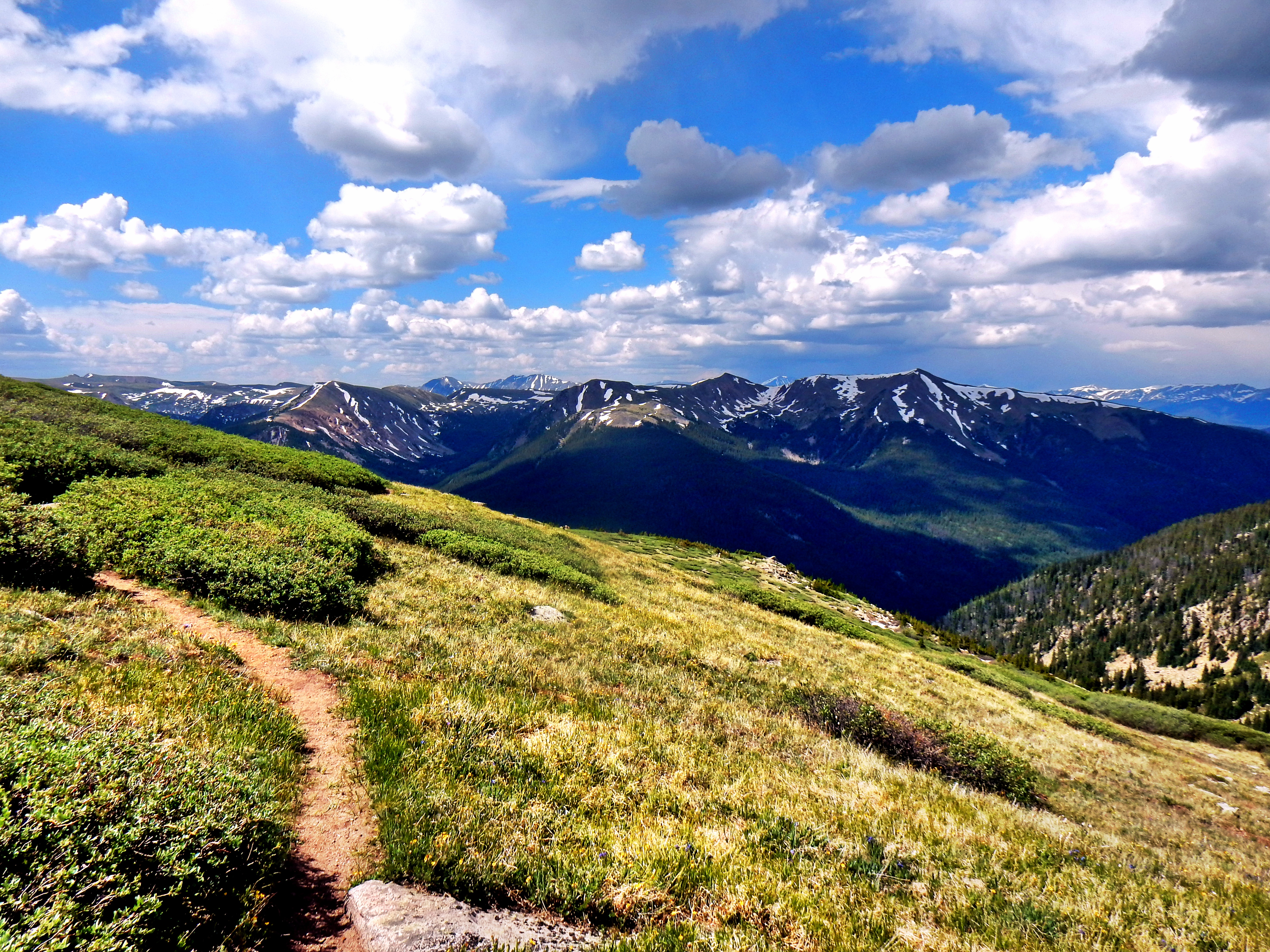
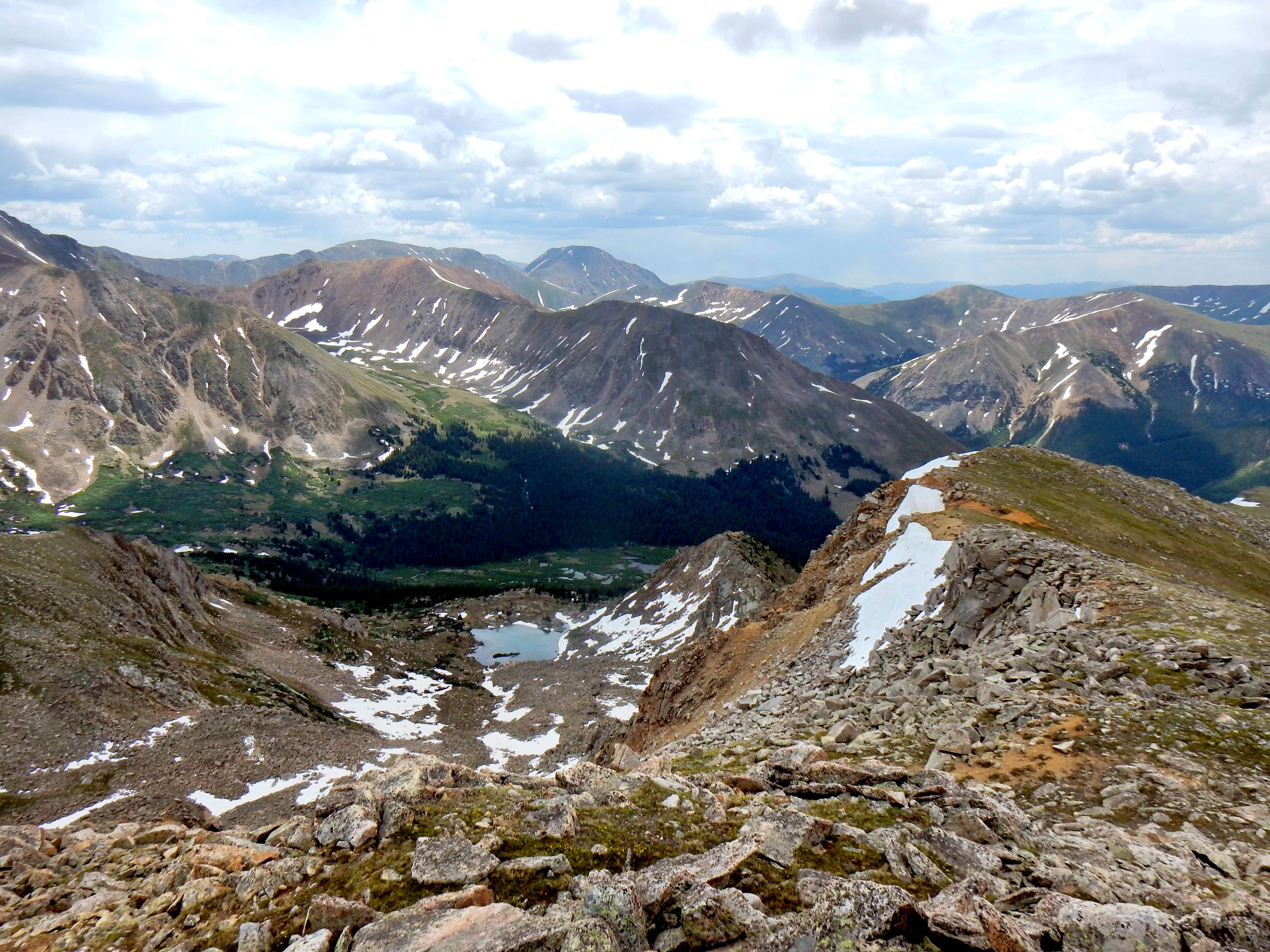
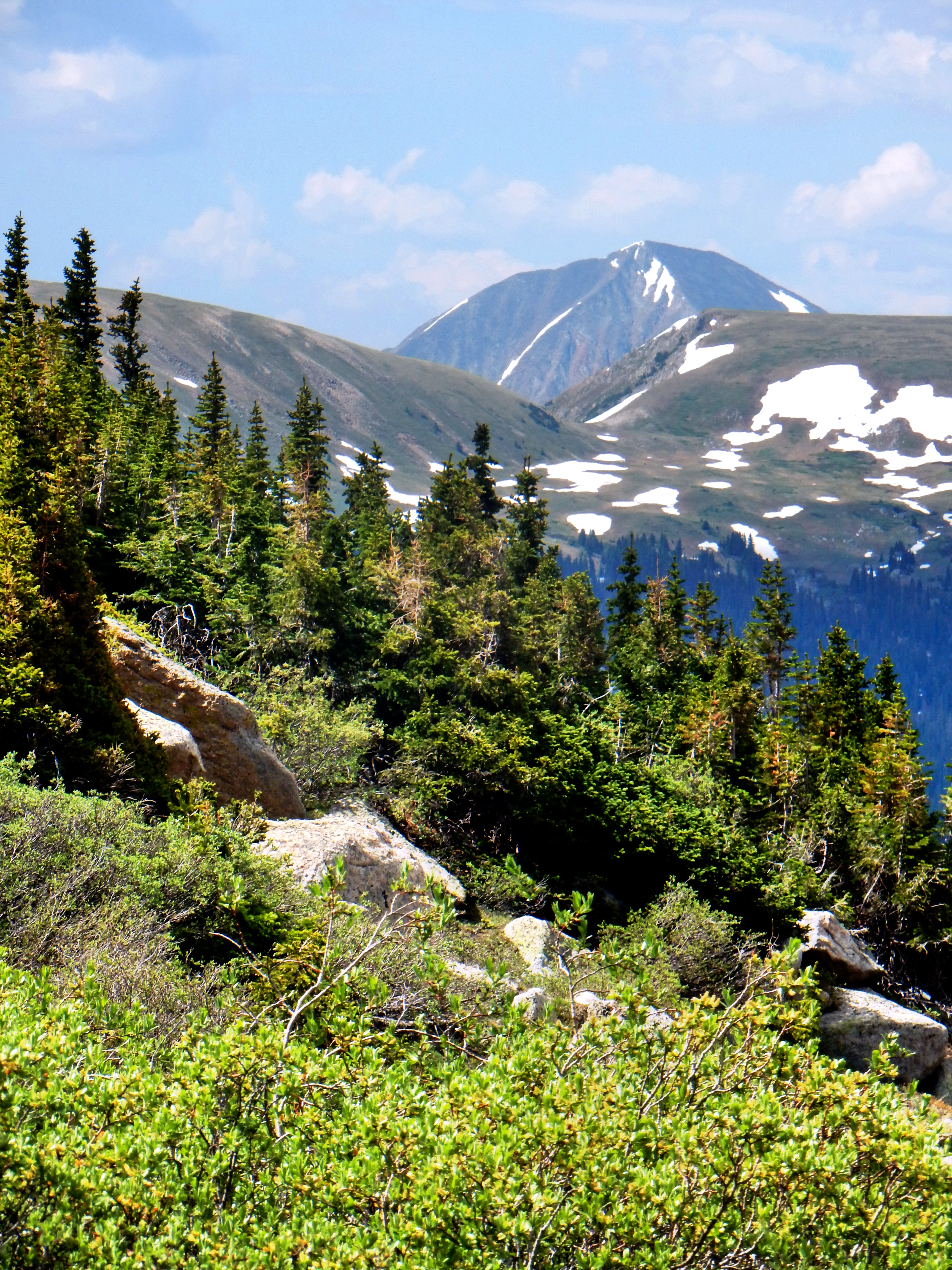
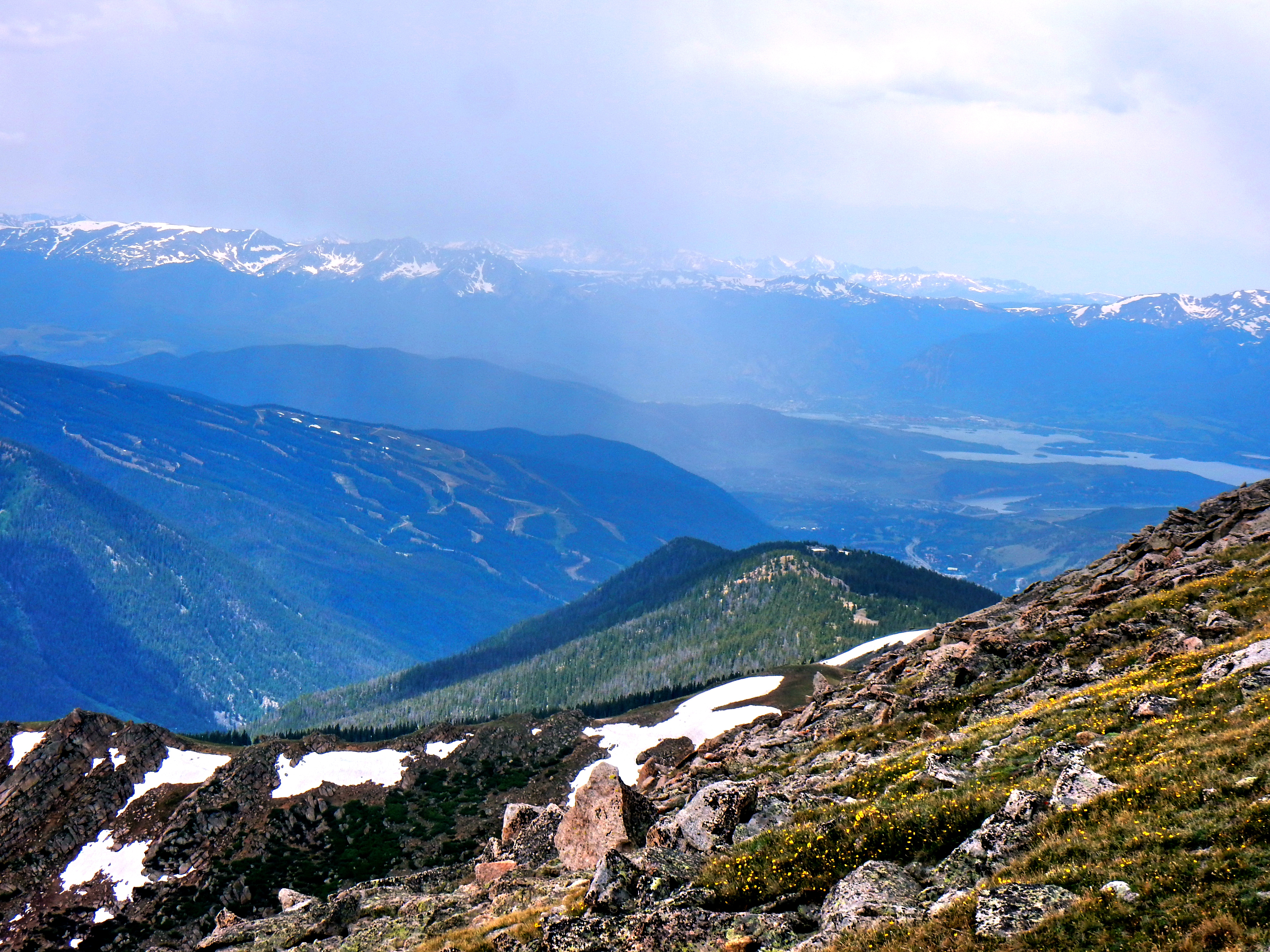
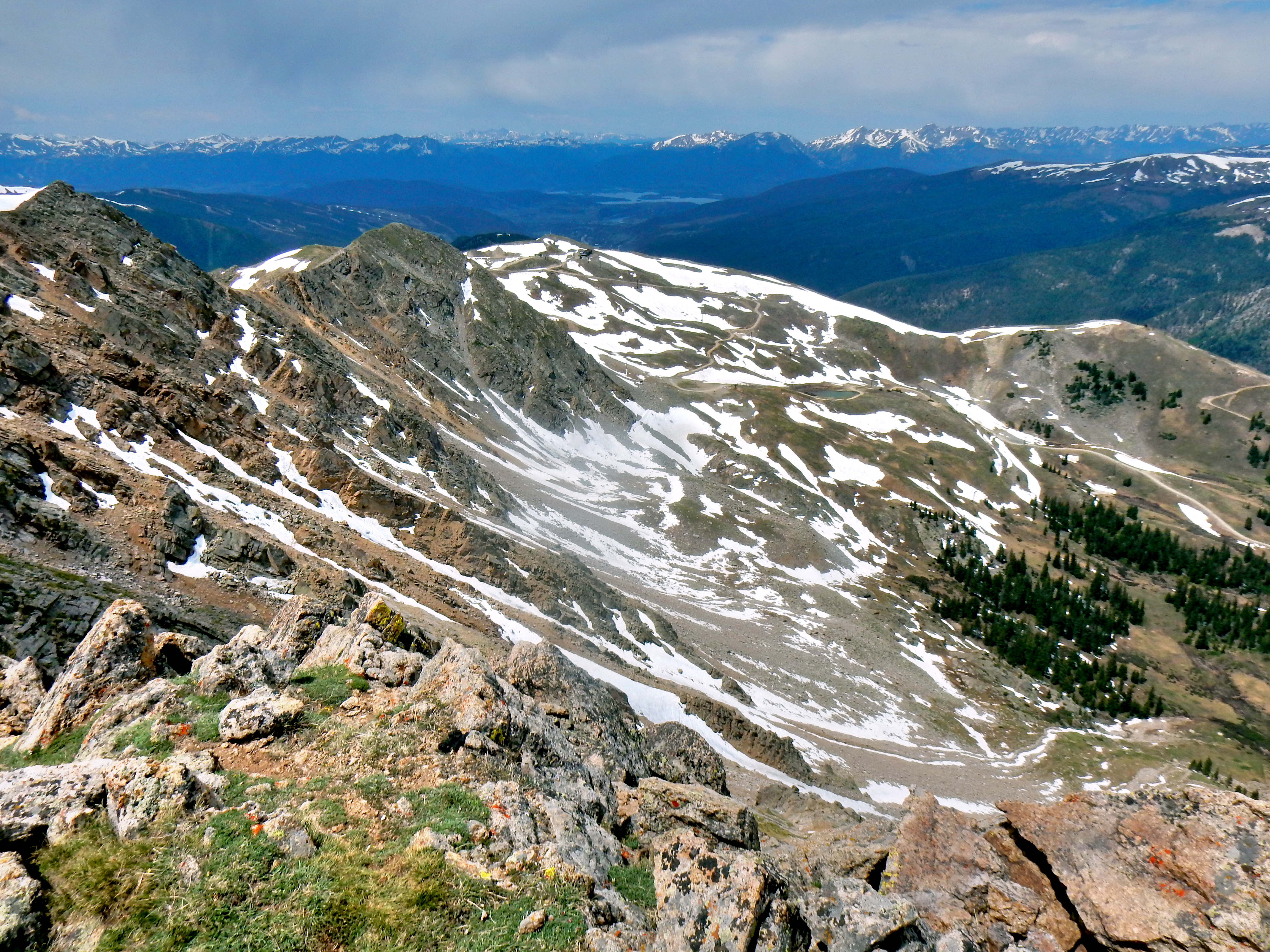
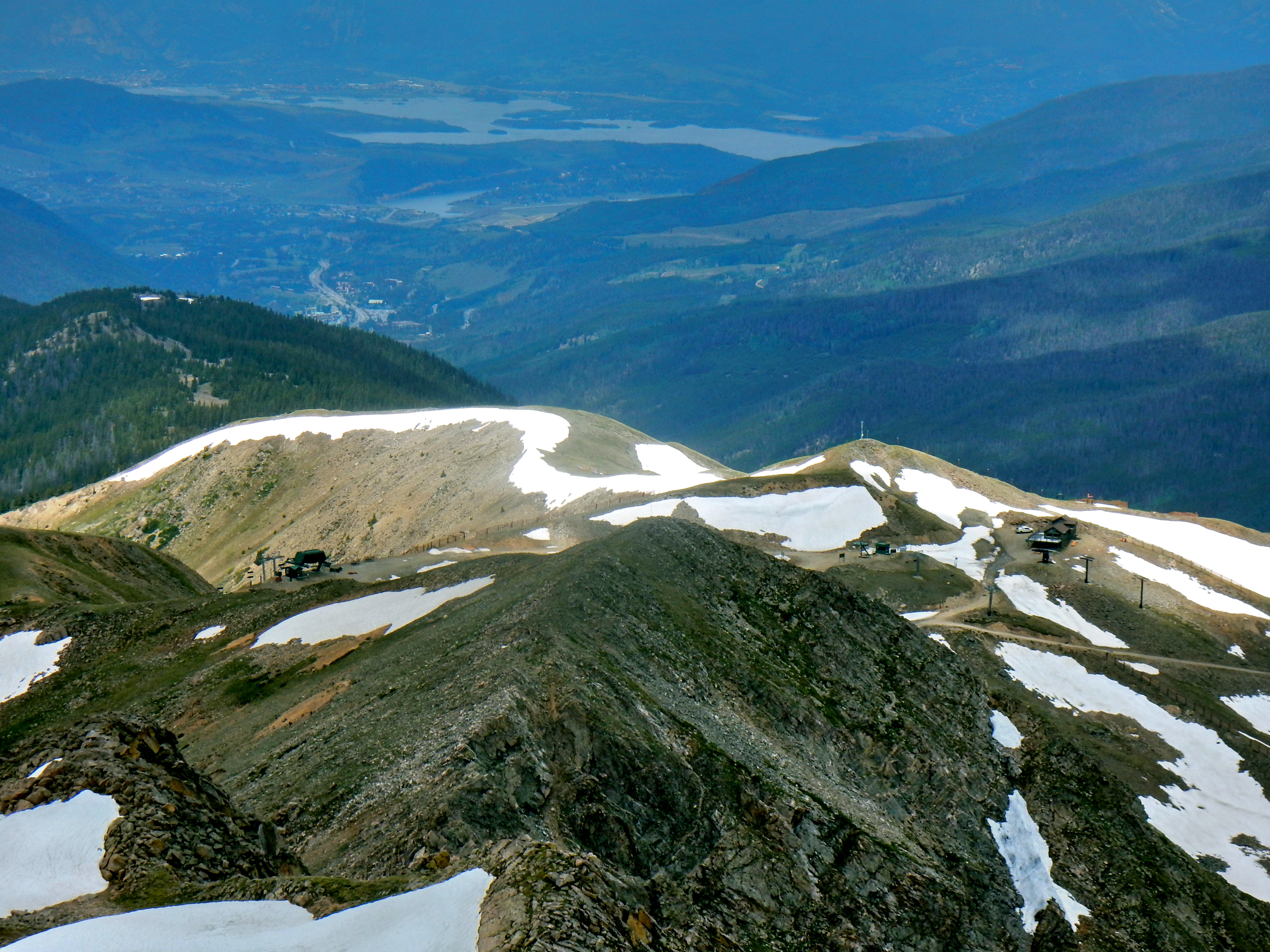
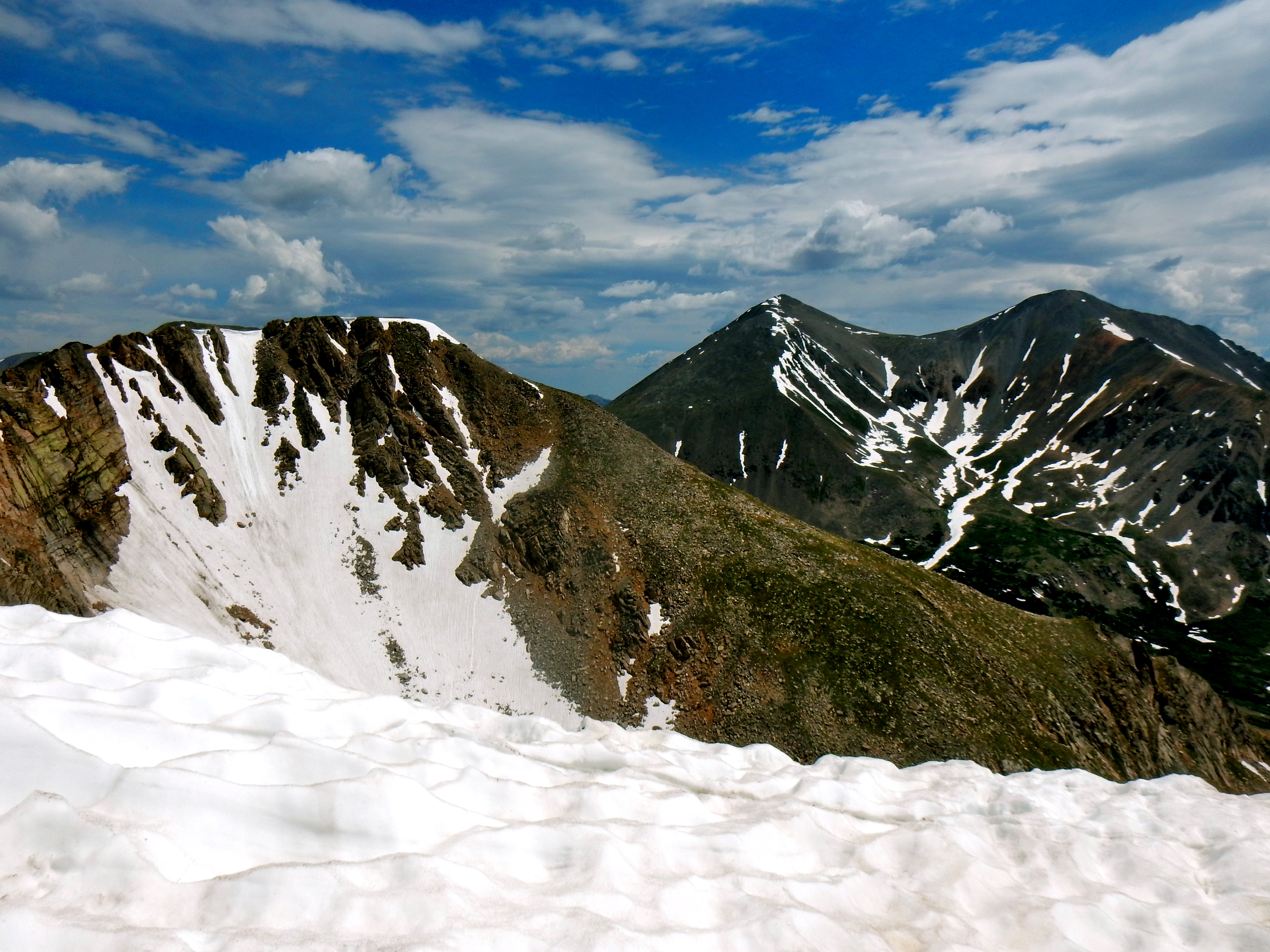
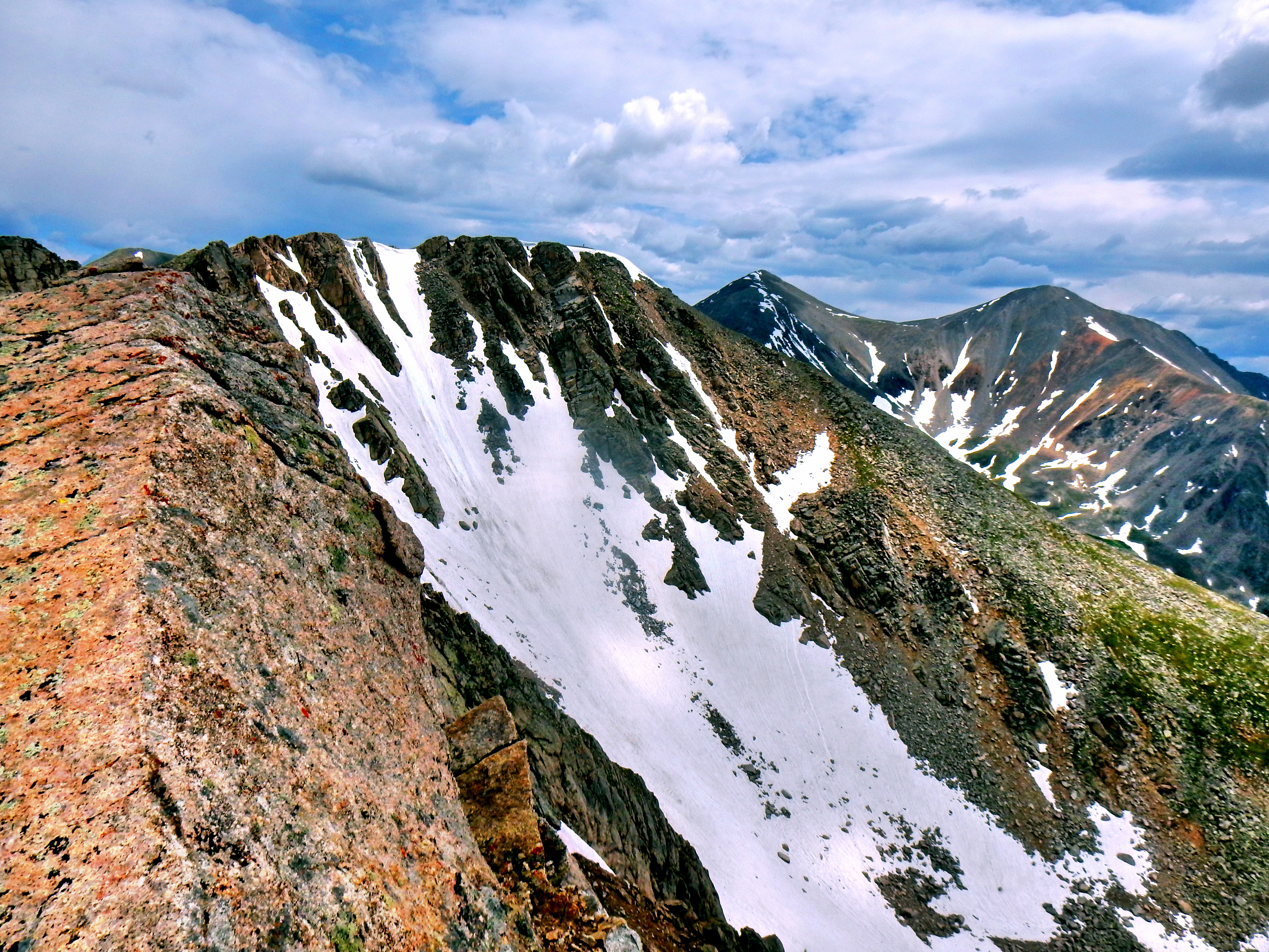
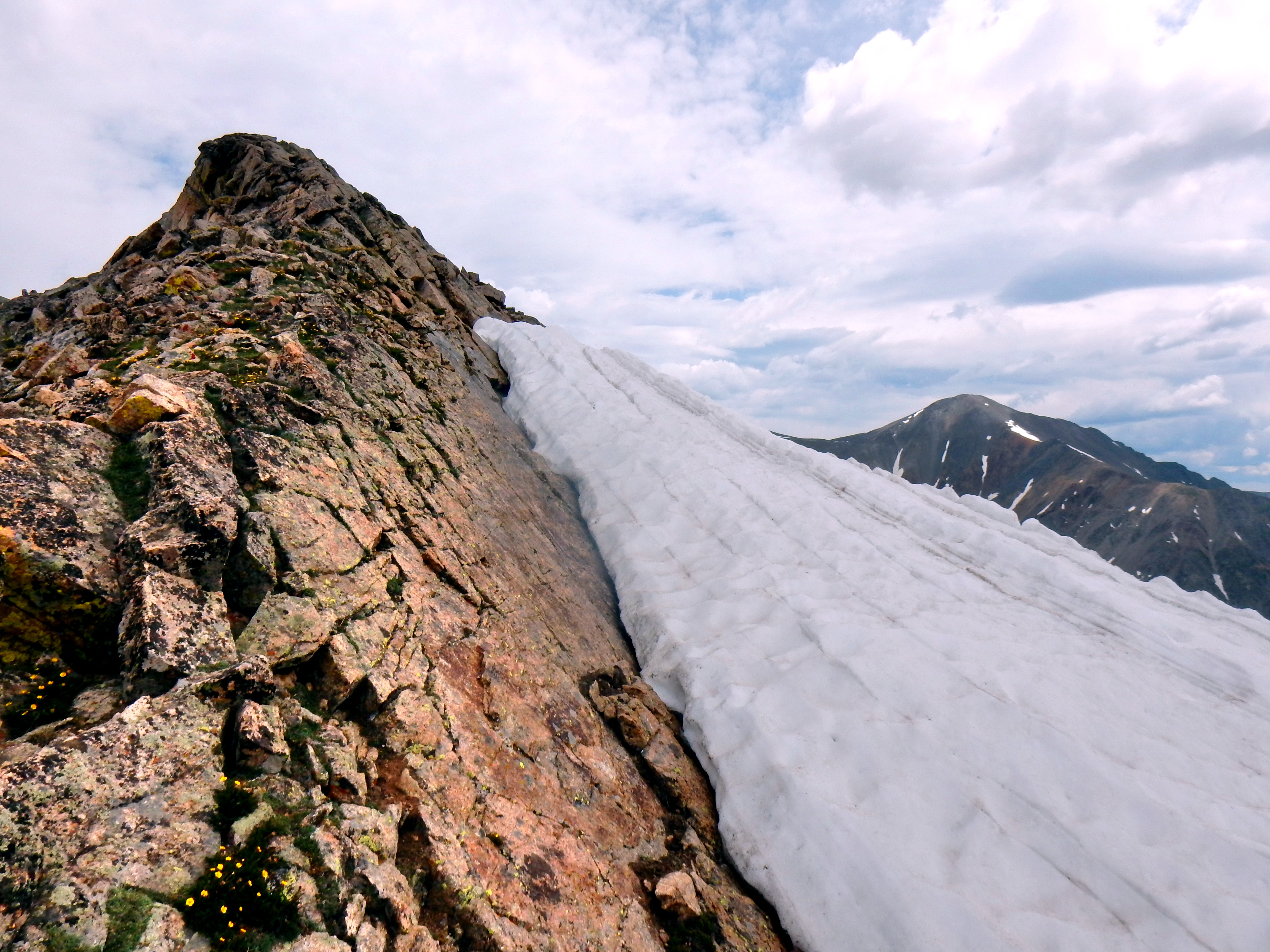
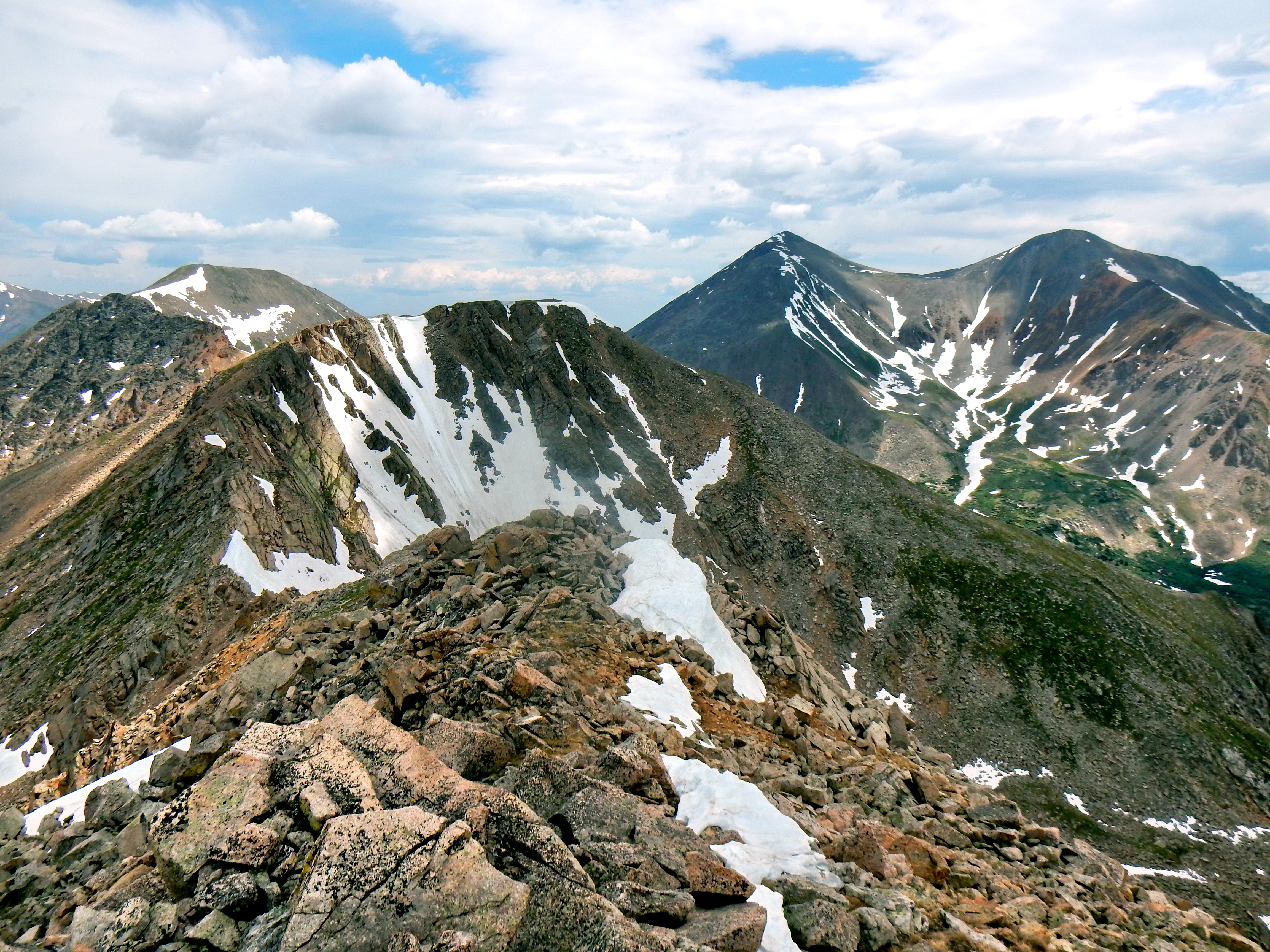
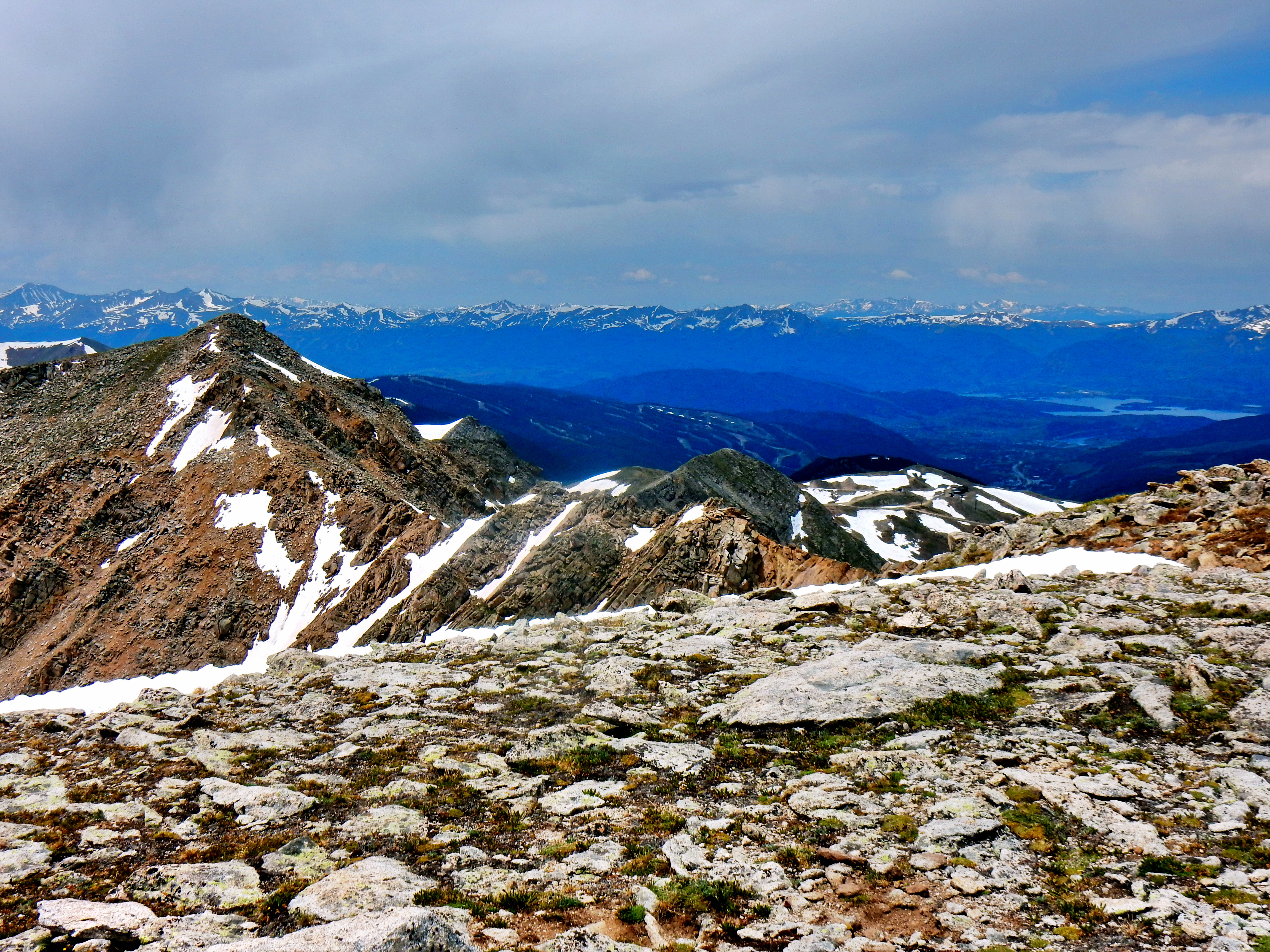
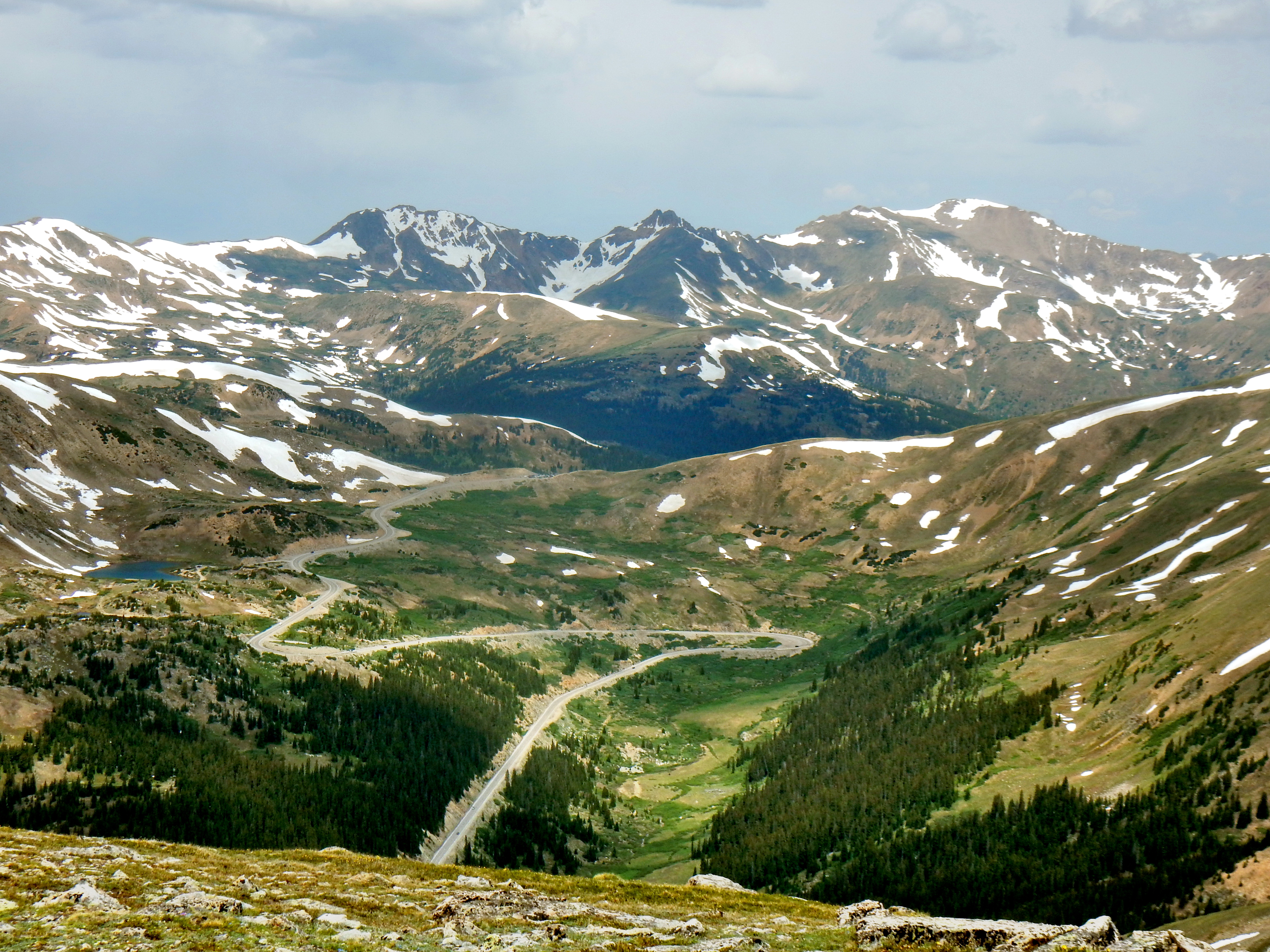
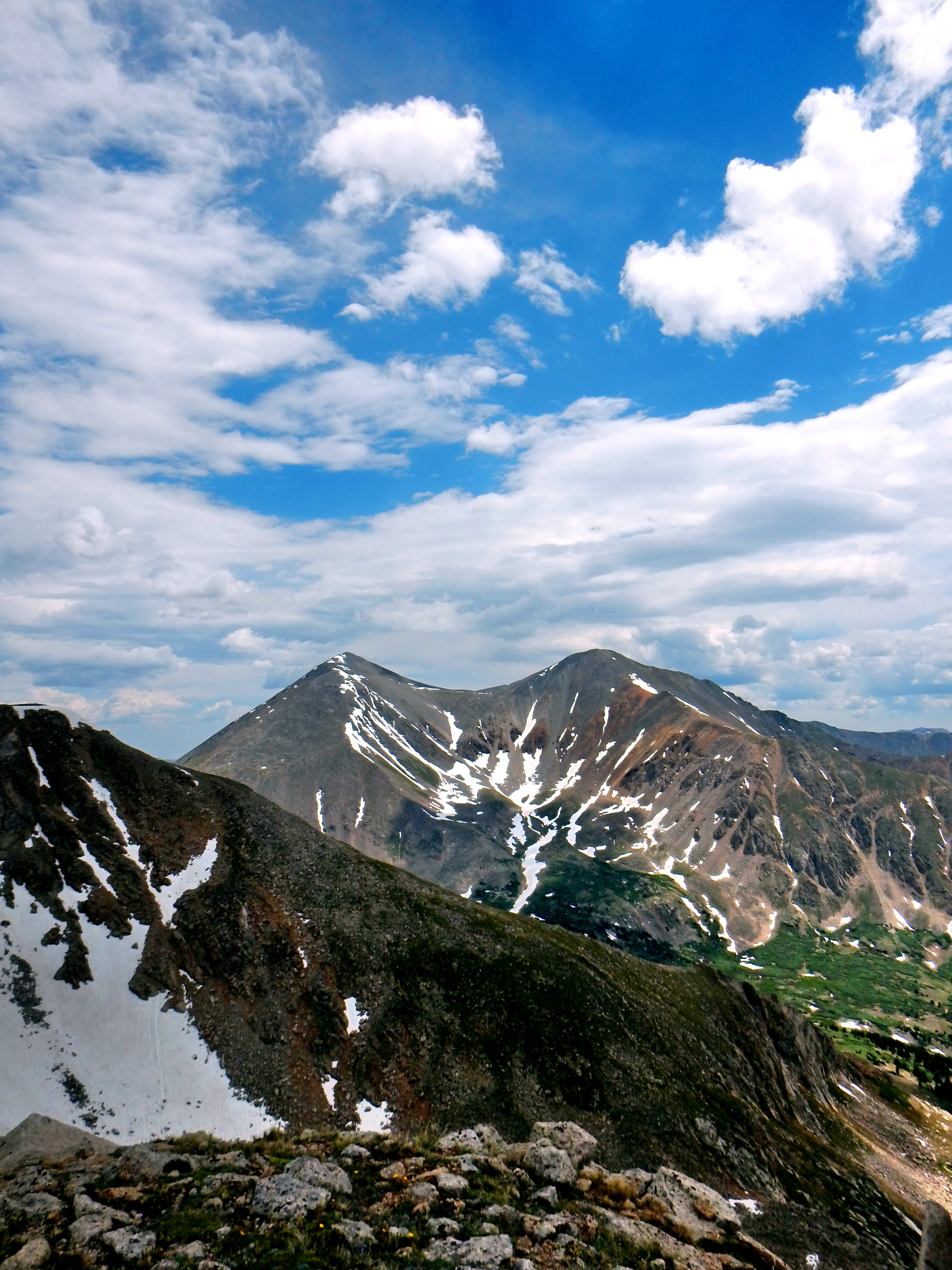
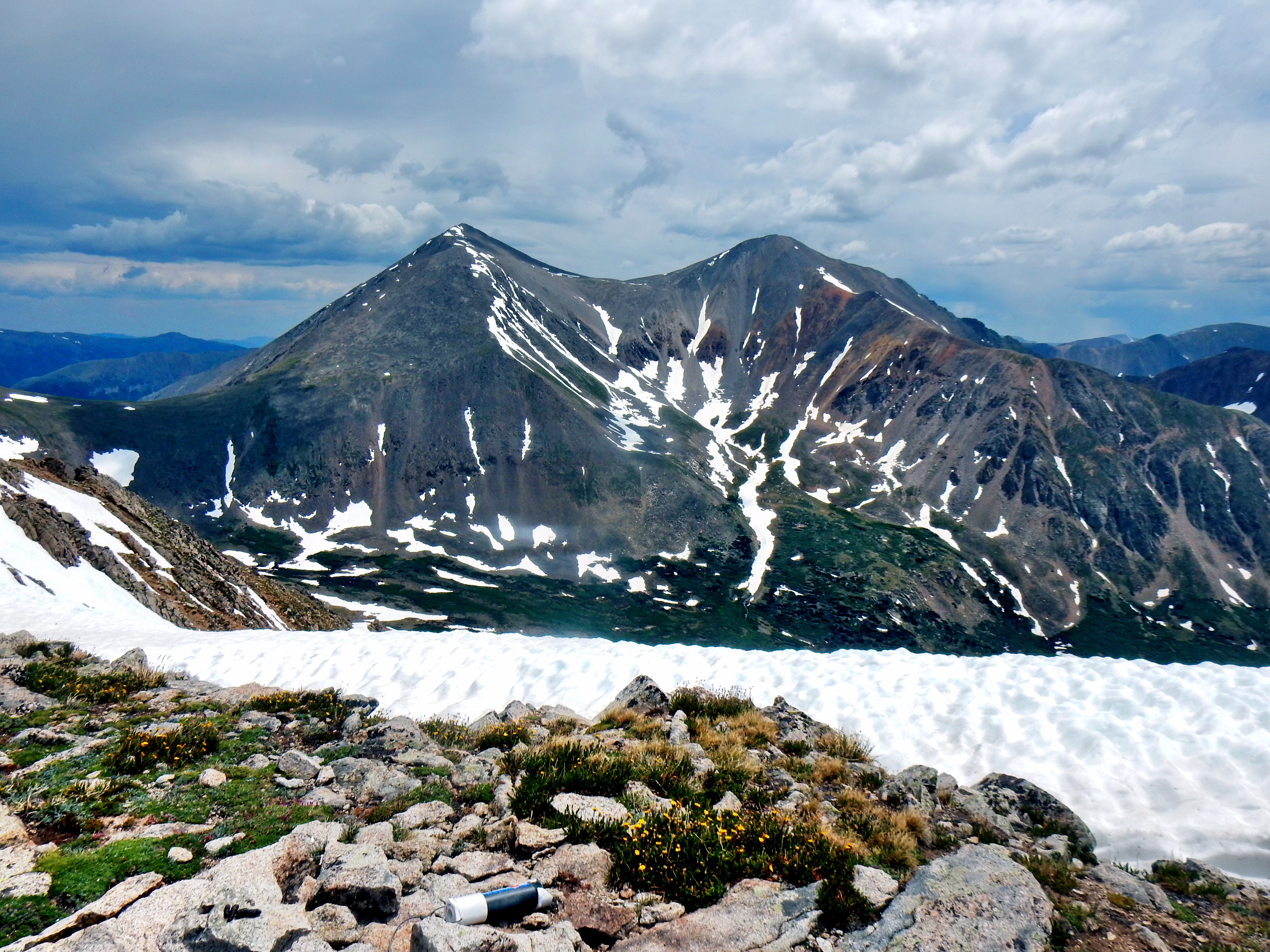
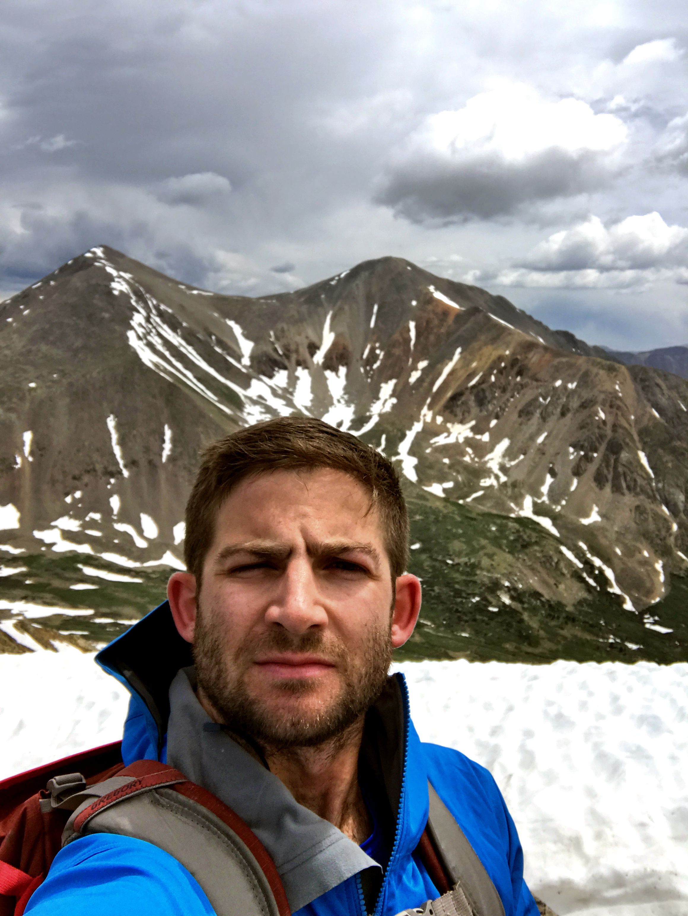
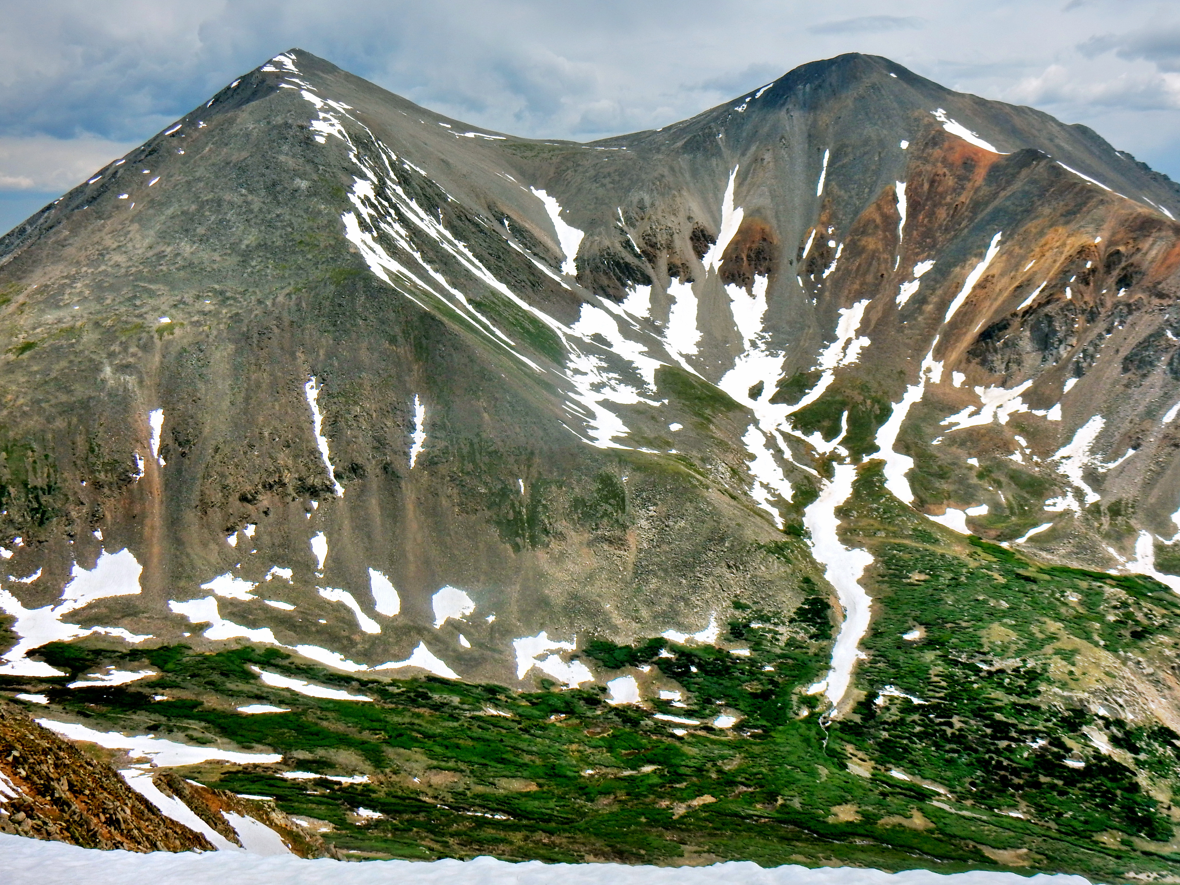
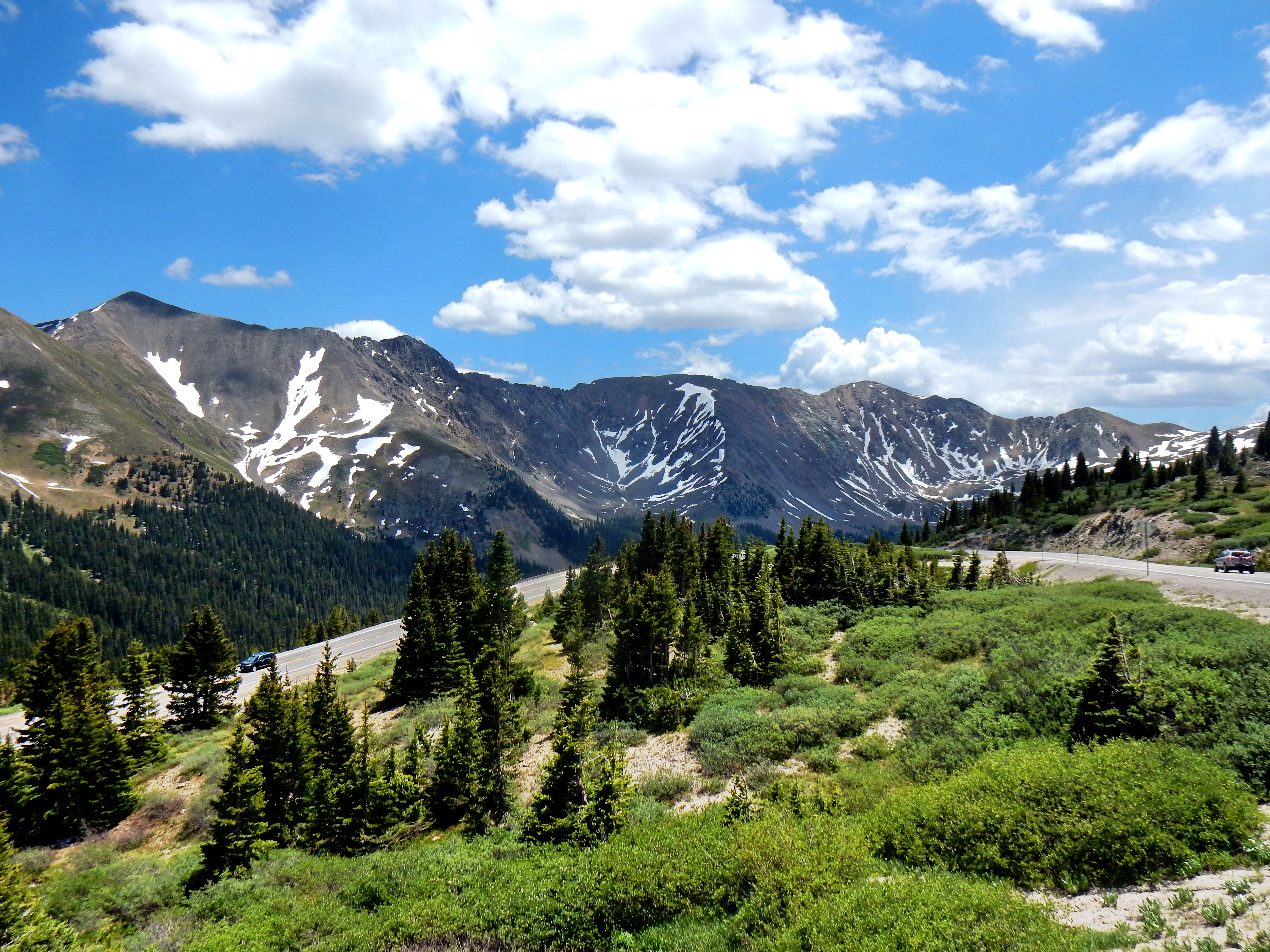
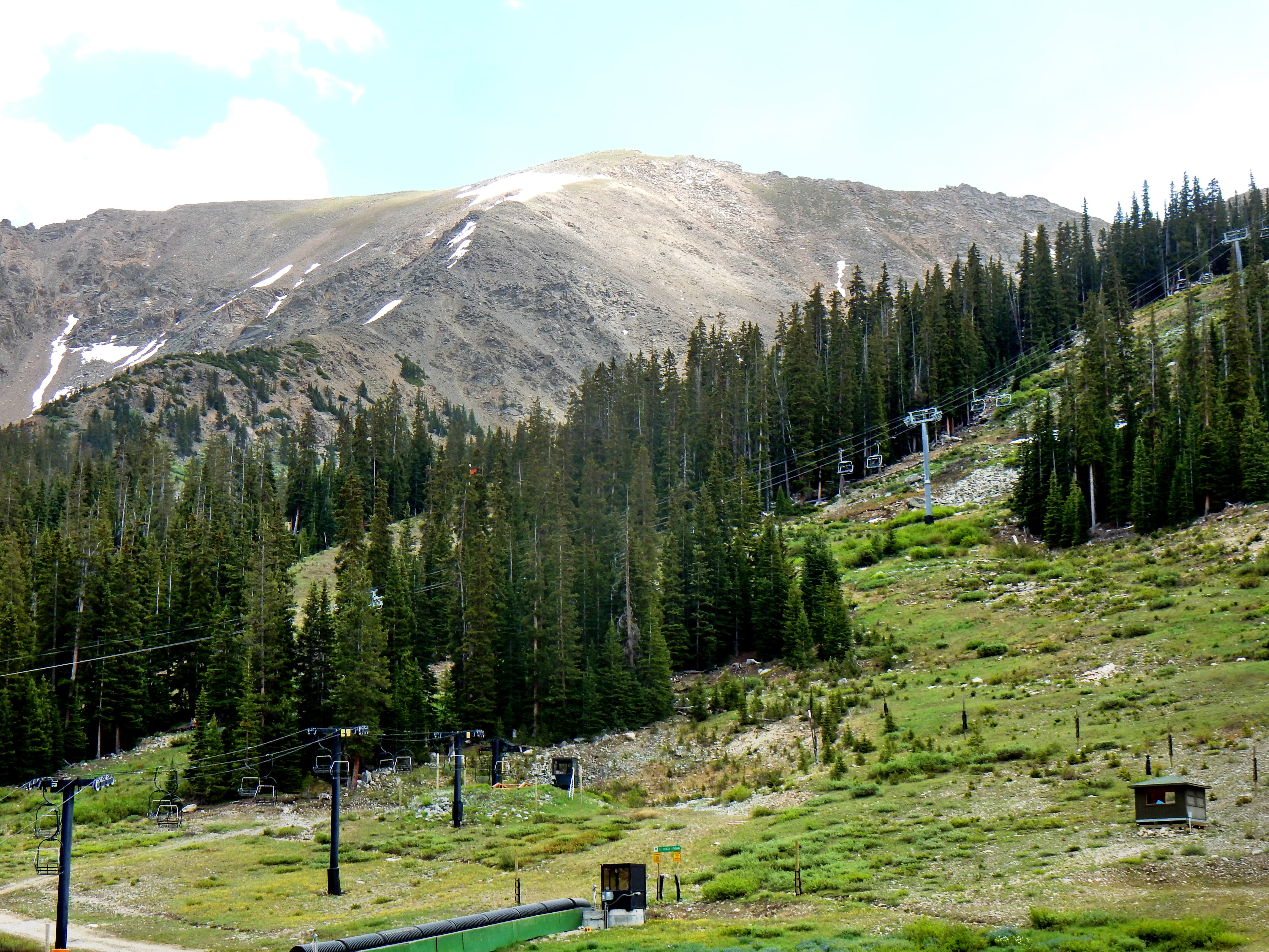
Lenawee Trail is about 2 miles down 260 road, which you turn left onto after 4.5miles on Montezuma Road past Keystone.From the first couple miles up, great trail!Smooth and steady climbing!The trail was still smooth as I left treeline behind.Keystone, Lake Dillon, and Buffalo MountainBuffalo Mountain (12,777′) with storms brewingMeanwhile, it was a gorgeous day over on Lenawee Mountain!Looking down valleyI originally identified the peak in the distance as Mt. Silverheels (13,822′) with my Peakfinder app, but after further investigation I believe it is Mount Guyot (13,370′). Either way, it was quite a sight!The Lenawee Trail links up to a high pass closer to the top of A-Basin. My route for the day had me leave the trail at around 12,300′ and head directly for the ridge. Here is a mid-slope look down at Keystone Ski Area and Lake Dillon.As I reached the high ridge, there were fantastic views all around; including of Arapahoe Basin Ski Area.A bird’s eye view of the Legend (nickname for A-Basin if you don’t know).A look across the way at Lenawee Mountain (13,204′), Torreys Peak (14,267’) & Grays Peak (14,270’)Partway across the ridge to LenaweeThe ridge across was free enough of snow that I didn’t find encounter anything more difficult than Class 2. It was a really fun ridge! I was glad to be wearing my hiking boots instead of trail runners, but probably would’ve been fine either way.Grizzly Peak D (13,427′) behind Lenawee Mountain from partway across the ridge. Oh yeah, a few little 14ers too! (Torreys and Grays)Lenawee’s summit presented amazing views! In this case, Keystone, A-Basin, Liake Dillon, and a wealth of towering mountains.A unique perspective on Loveland PassGrizzly Peak D from the summit. There are at least five Grizzly Peak 13ers in Colorado, so it is easy to get them confused. I wasn’t feeling ambitious enough to tack on Grizzly, but it sounds like it would have been easier than it looks from an trip report I found on 14ers.com.Sweet pano from the Lenawee summitSimilar to the last pano, but Loveland Pass Road is on the left in this one, which I thought was cool.Summit pano showing the ridge across and a lot more!Torreys & Grays from the ridge over to Lenawee Mountain.Torreys Peak (14,267′) & Grays Peak (14,270′) from Lenawee’s summitA terrible selfie!Torreys Peak (14,267′) & Grays Peak (14,270′) from Lenawee’s summit
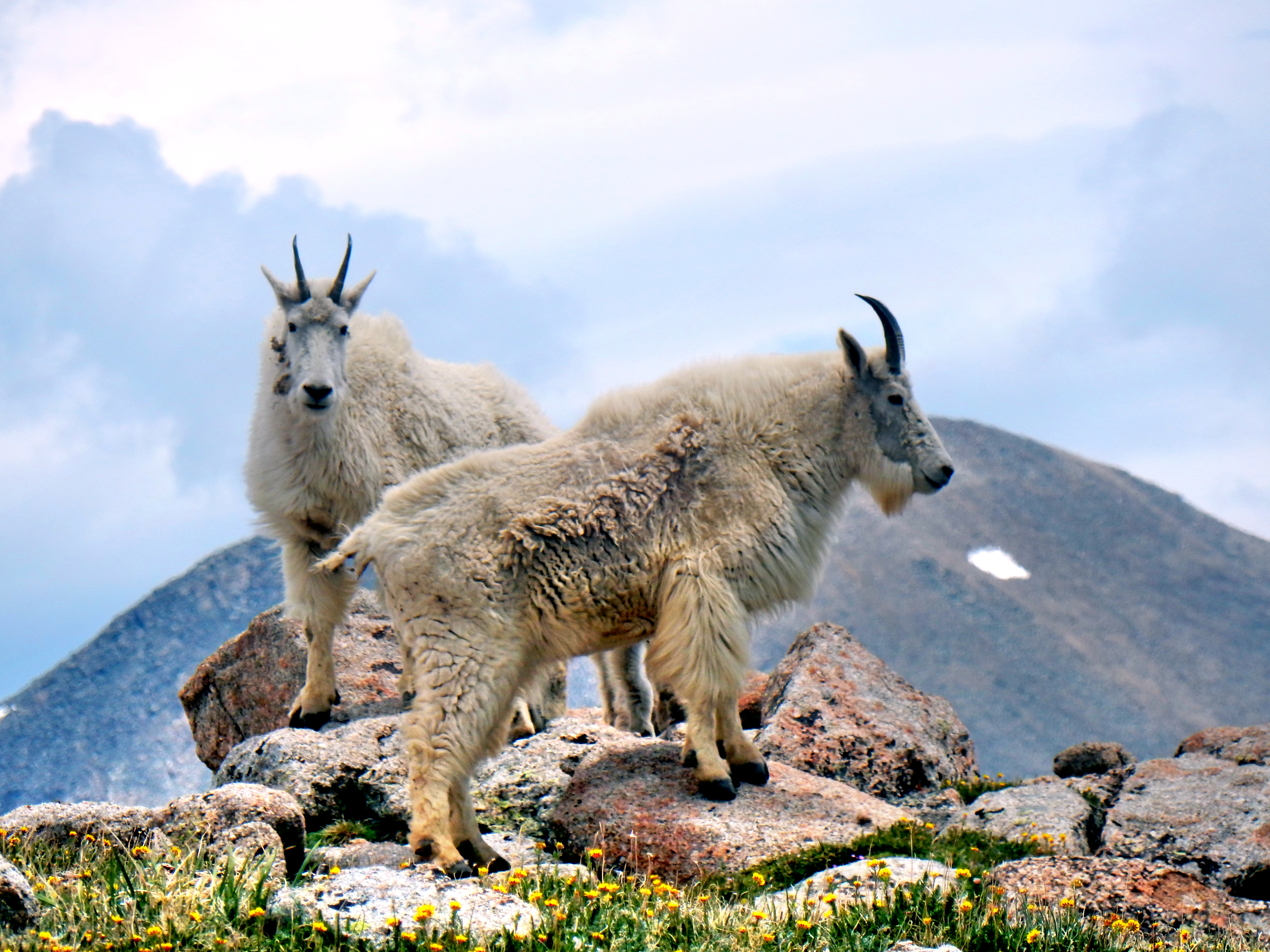
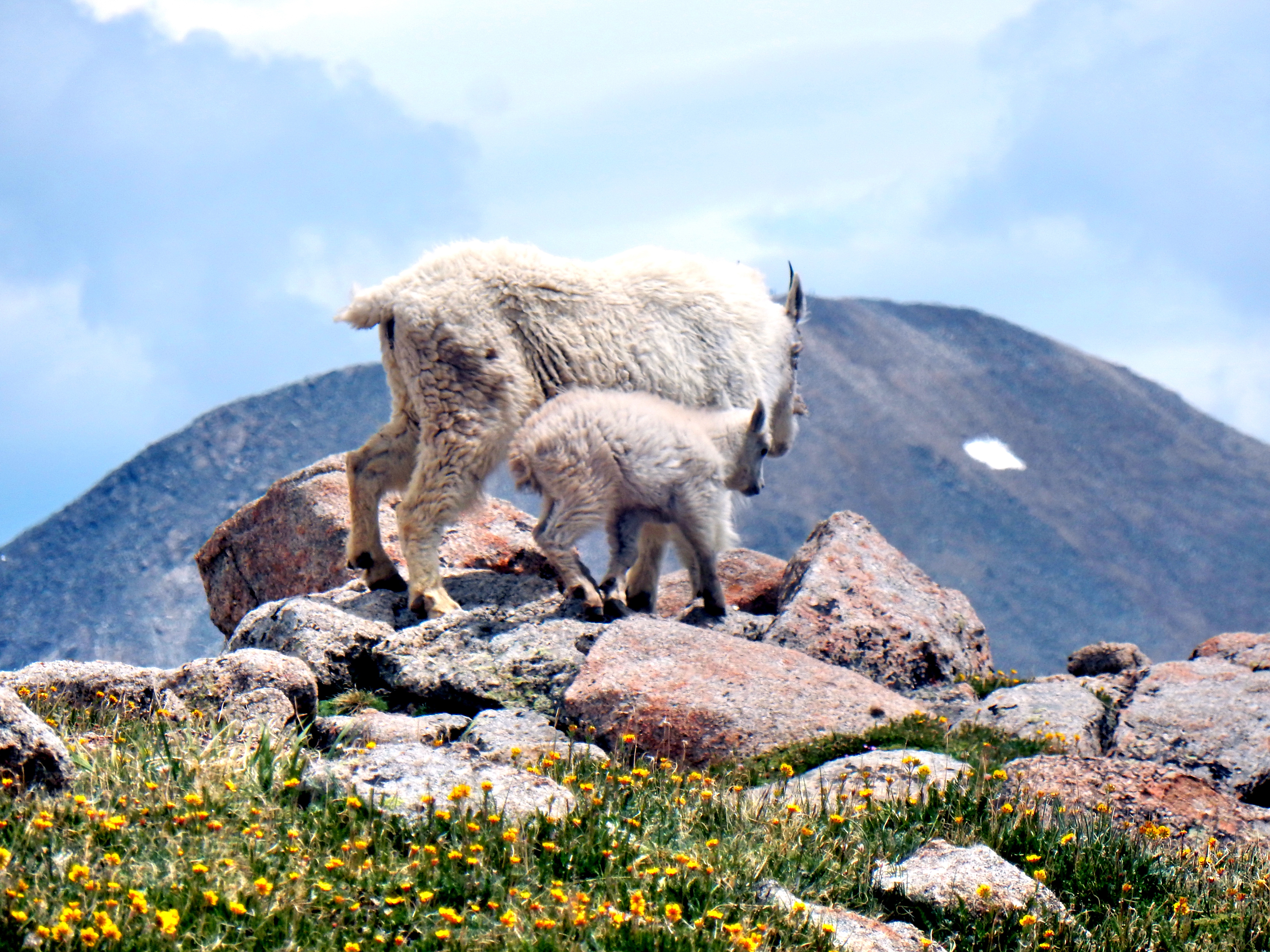
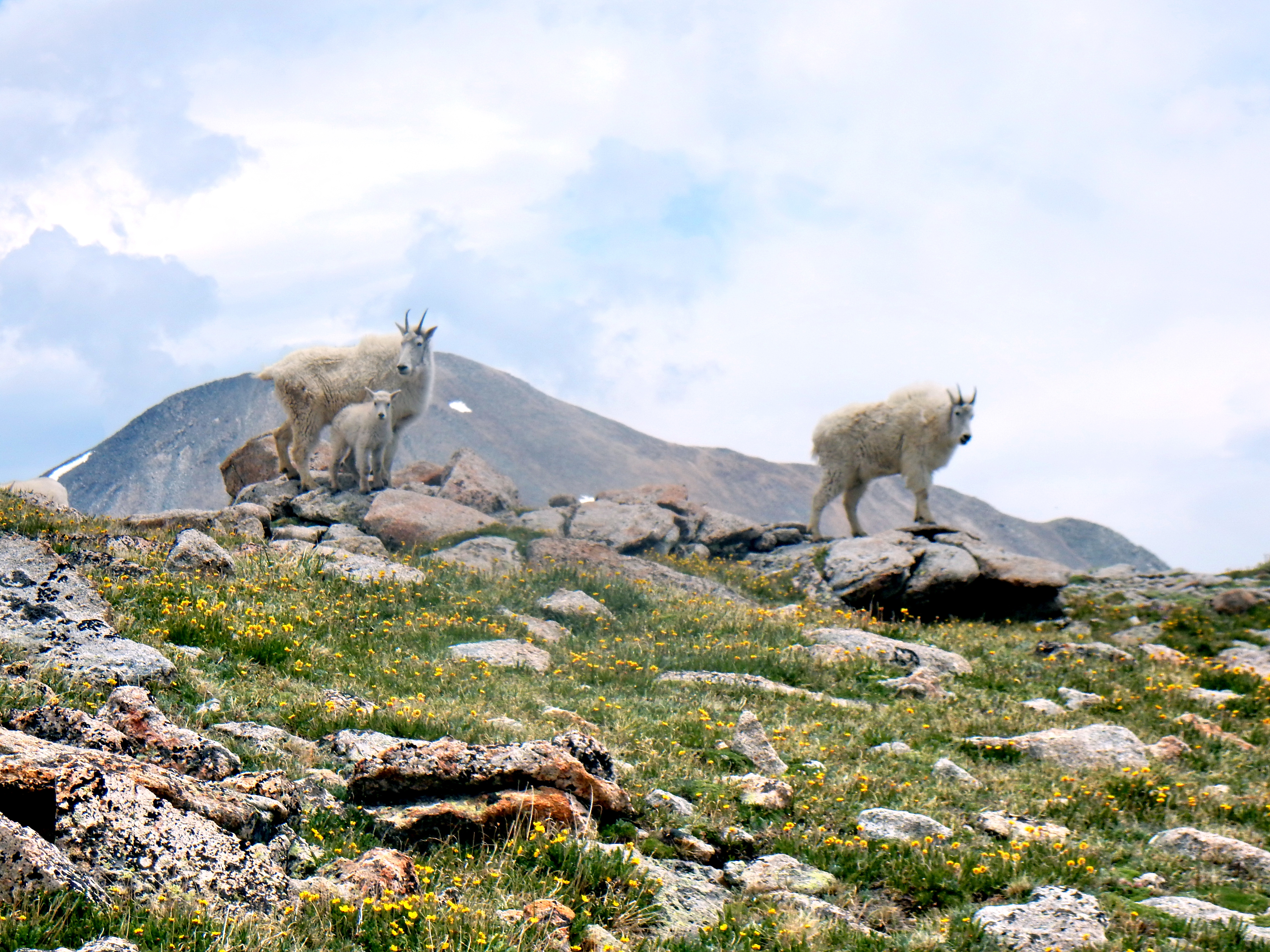
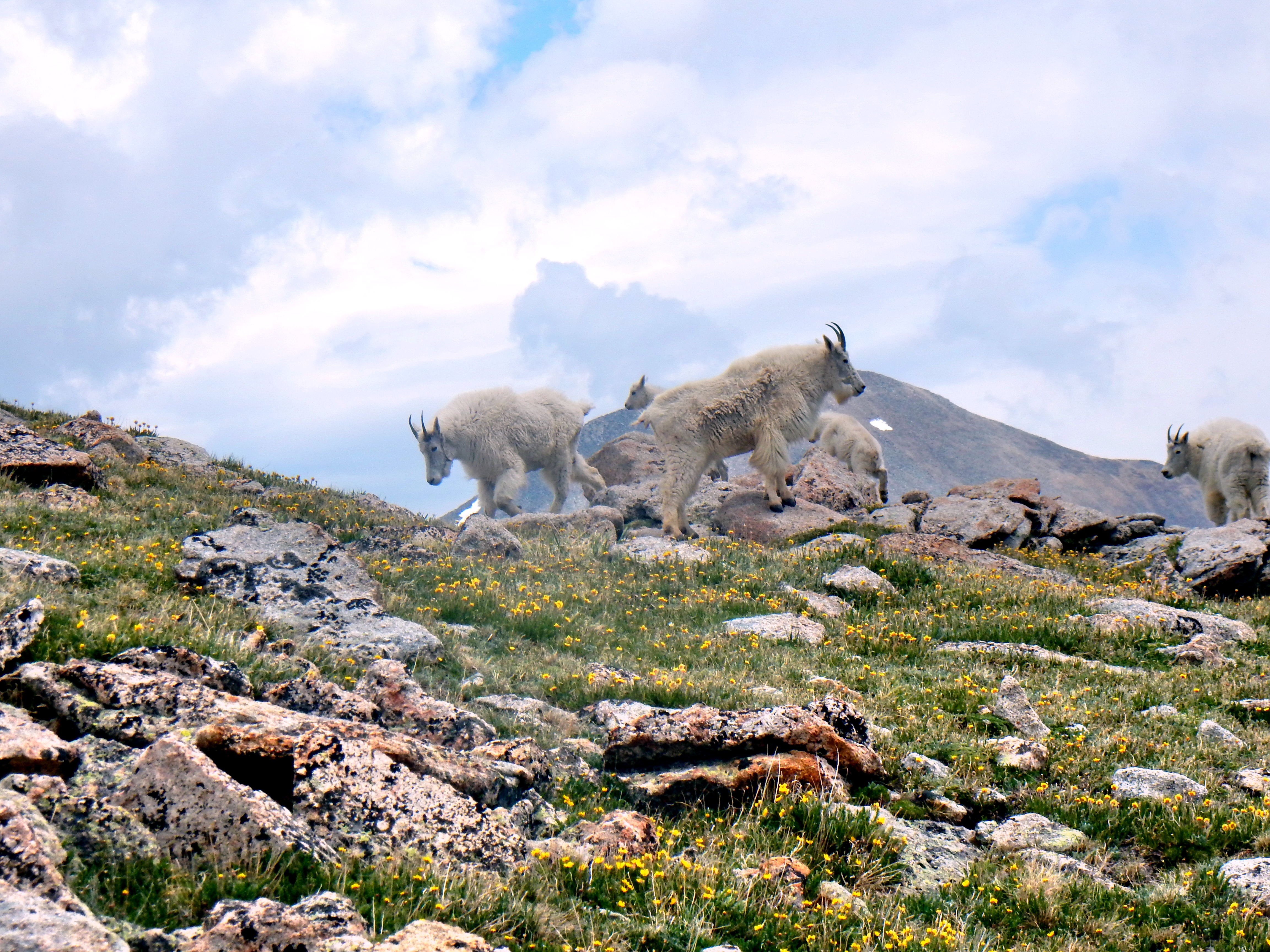
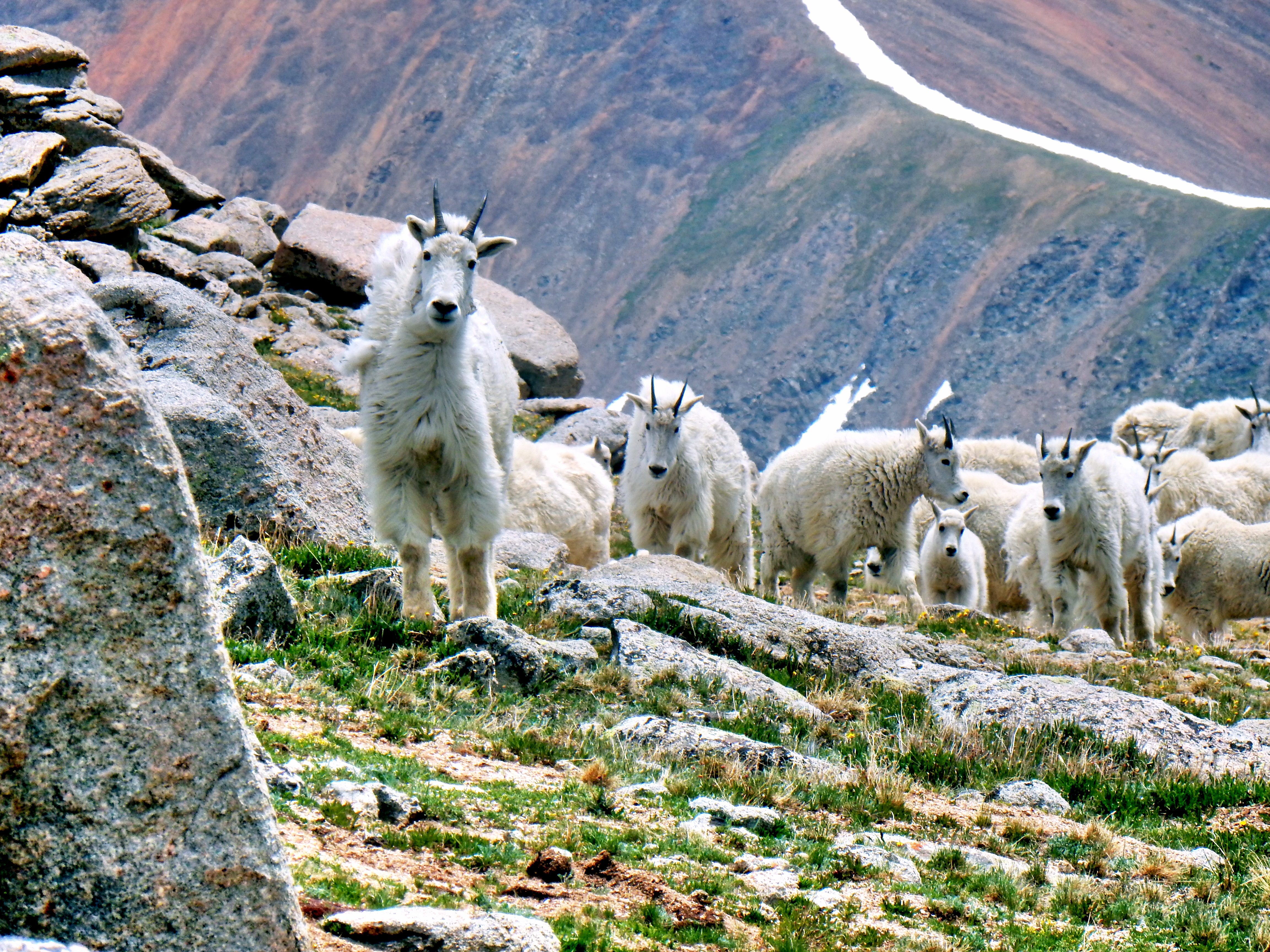
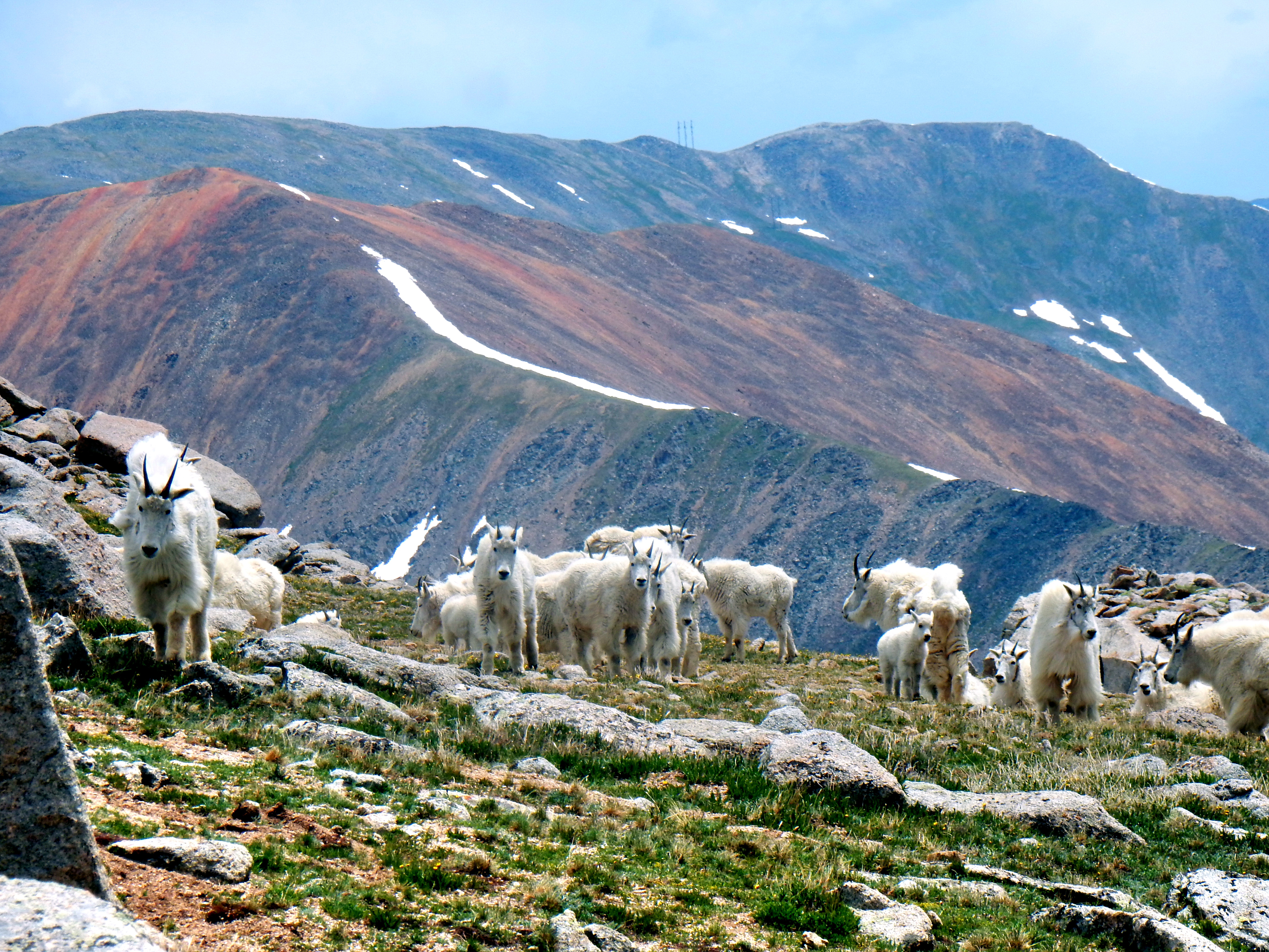
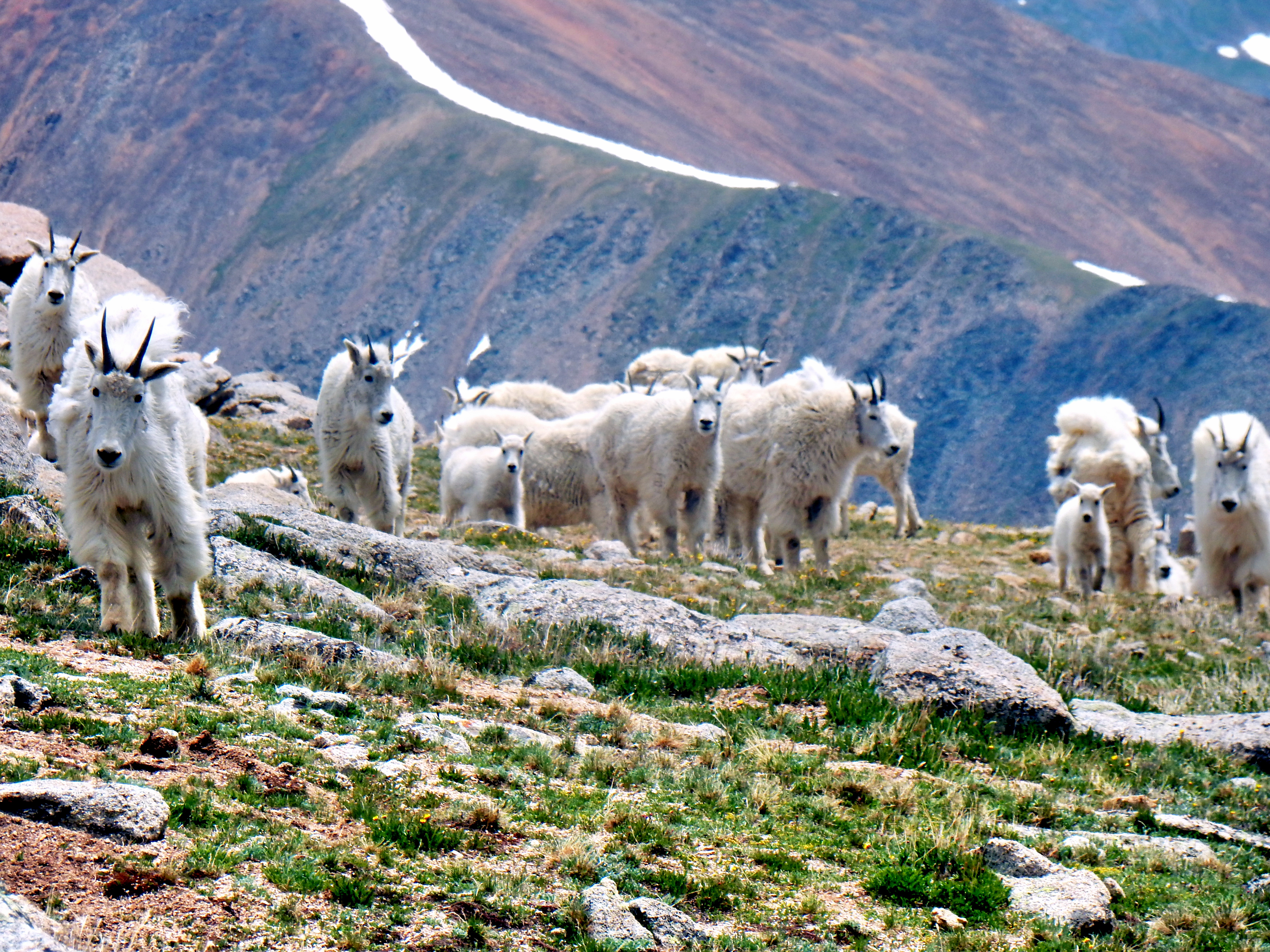
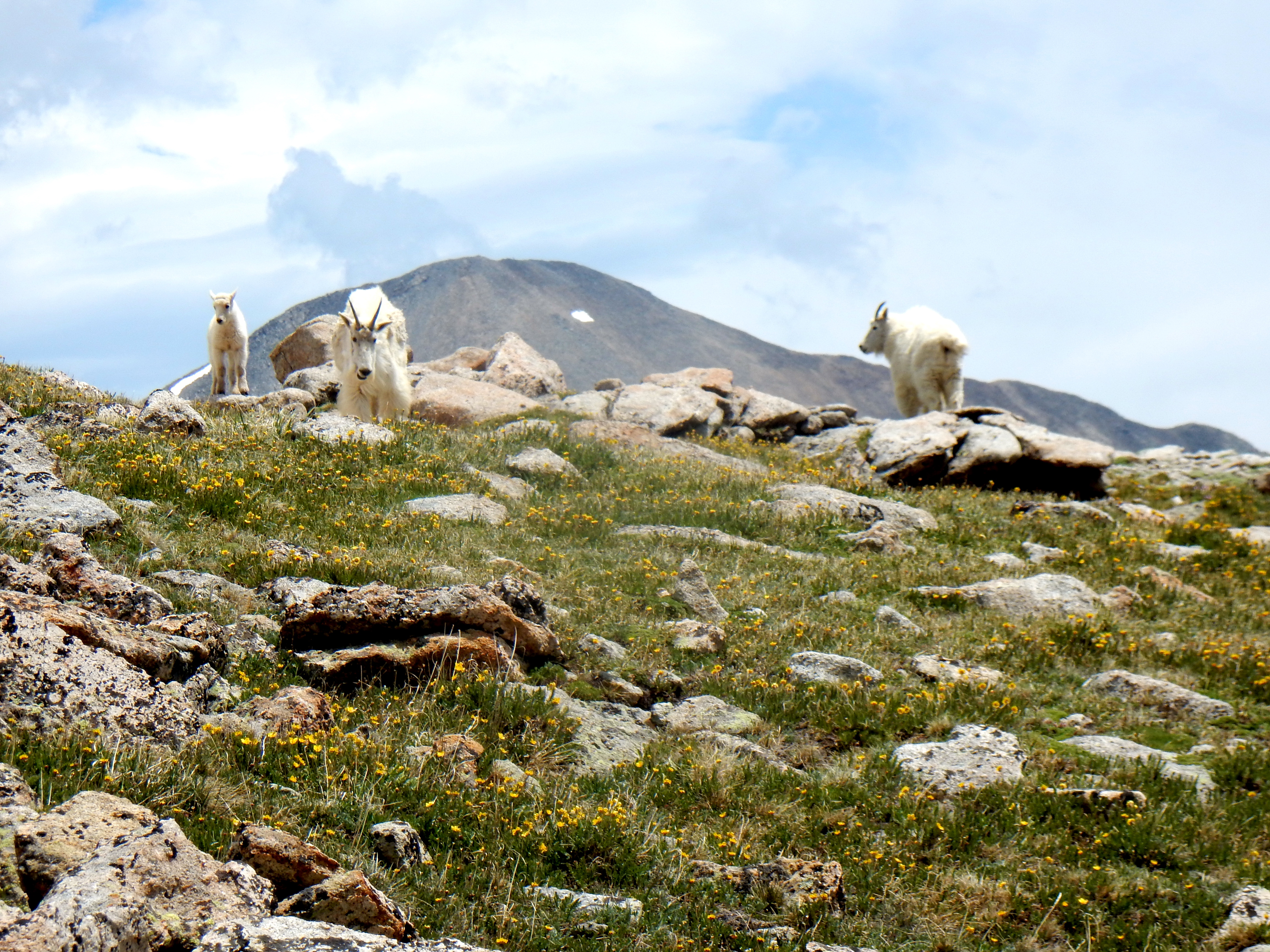
Well, the concludes the days hike pretty much aside from a major treat on the way back down! I had seen several mountain goats in the distance earlier in the day before leaving Lenawee Trail, but I got very close to them on my way back down.
So cool!Adorable baby mountain goats were part of the pack as well.Good thing my camera has a good zoom.Trying to herd mountain goats for a family portrait…This picture was taken right before the left most goat decided to start running at me. At which point, I decided to run straight downhill.One of the larger groups of mountain goats I’ve seen!They were definitely keeping an eye on me.One more goat picture…
Ok, maybe I’m not done yet. Here are some bonus photos I took during my drive back over Loveland Pass!
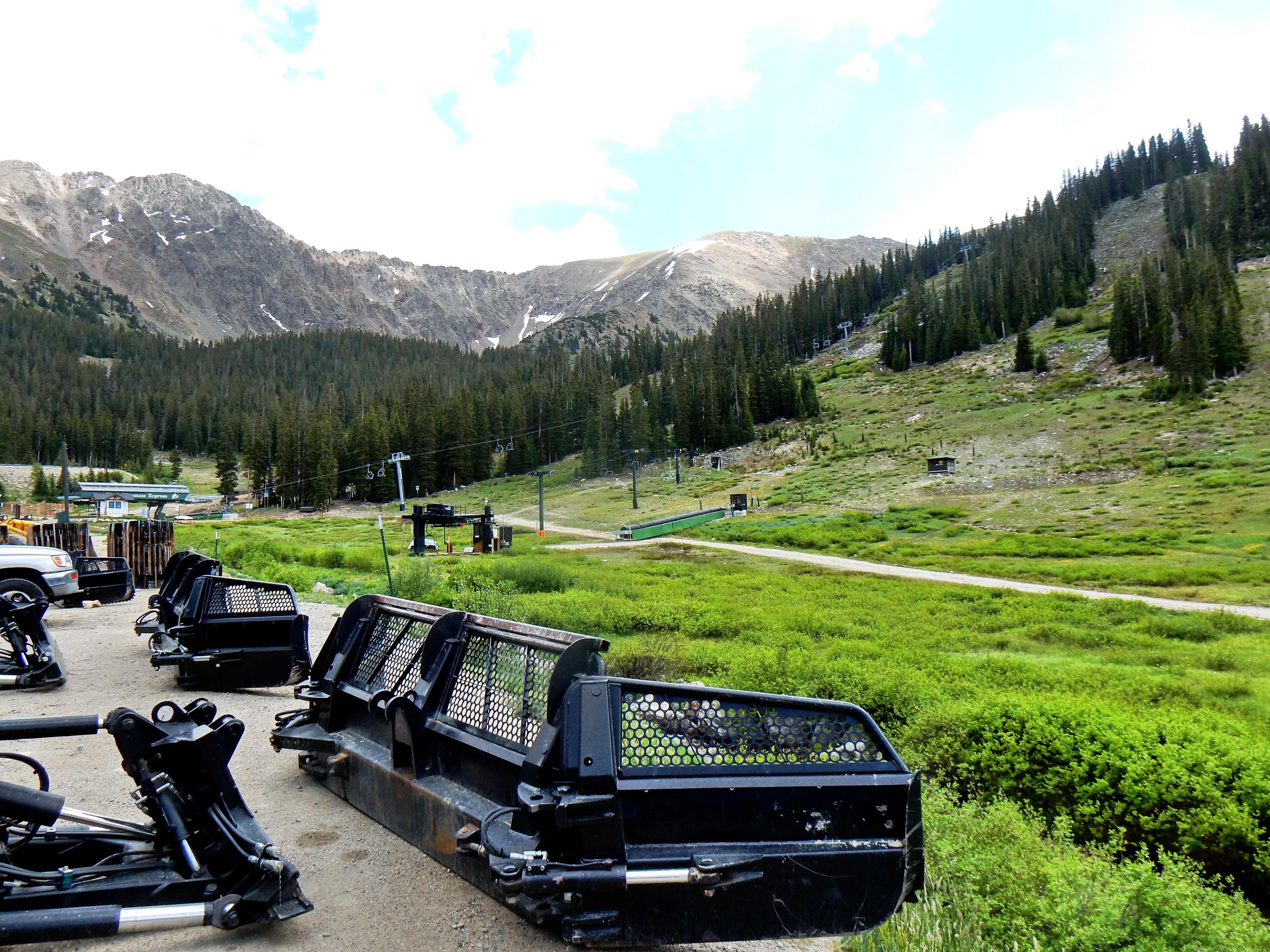
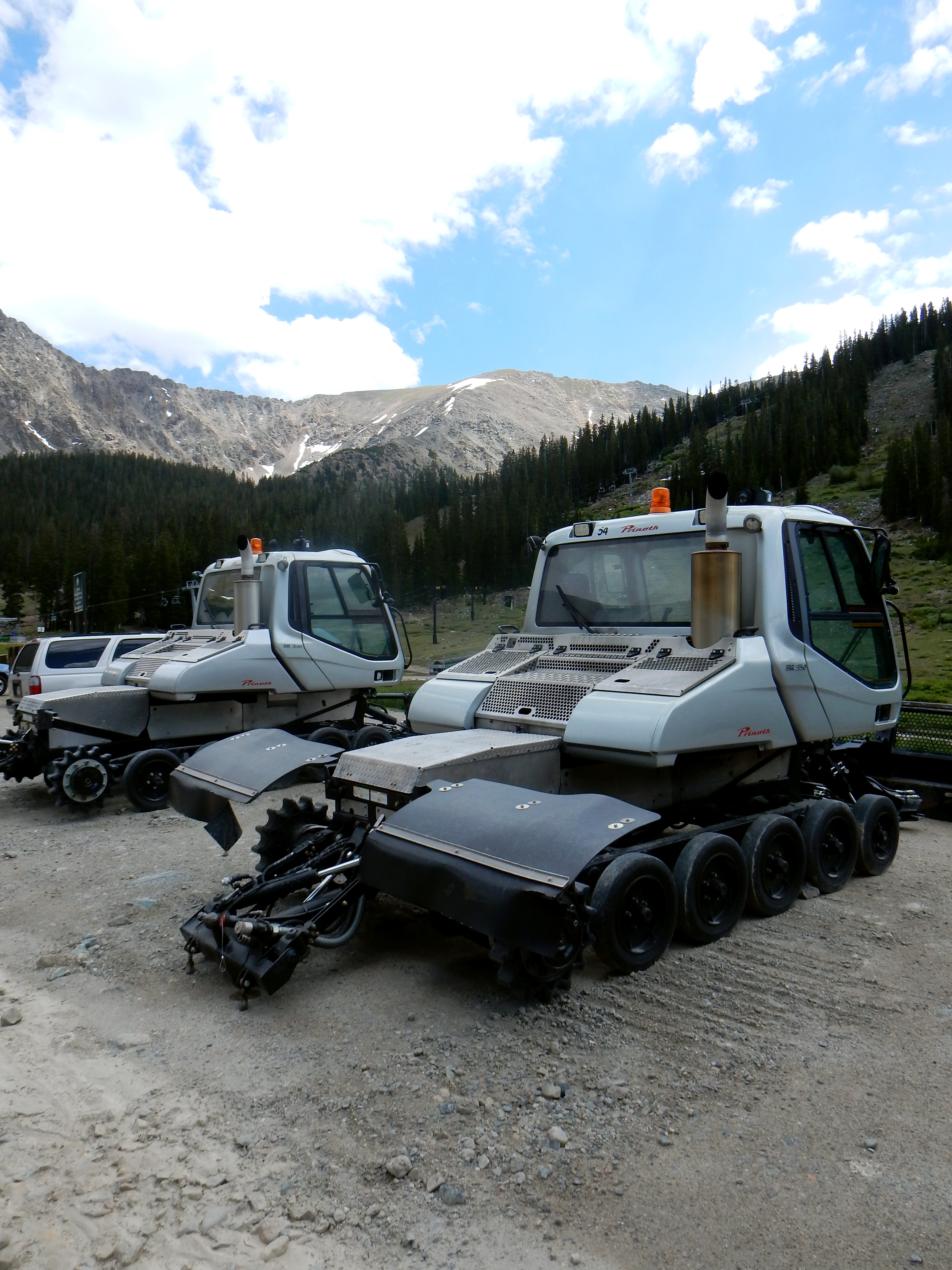
Partway up the pass roadLonely snowcatsFrom the A-Basin parking lot.Lonely snowcats