
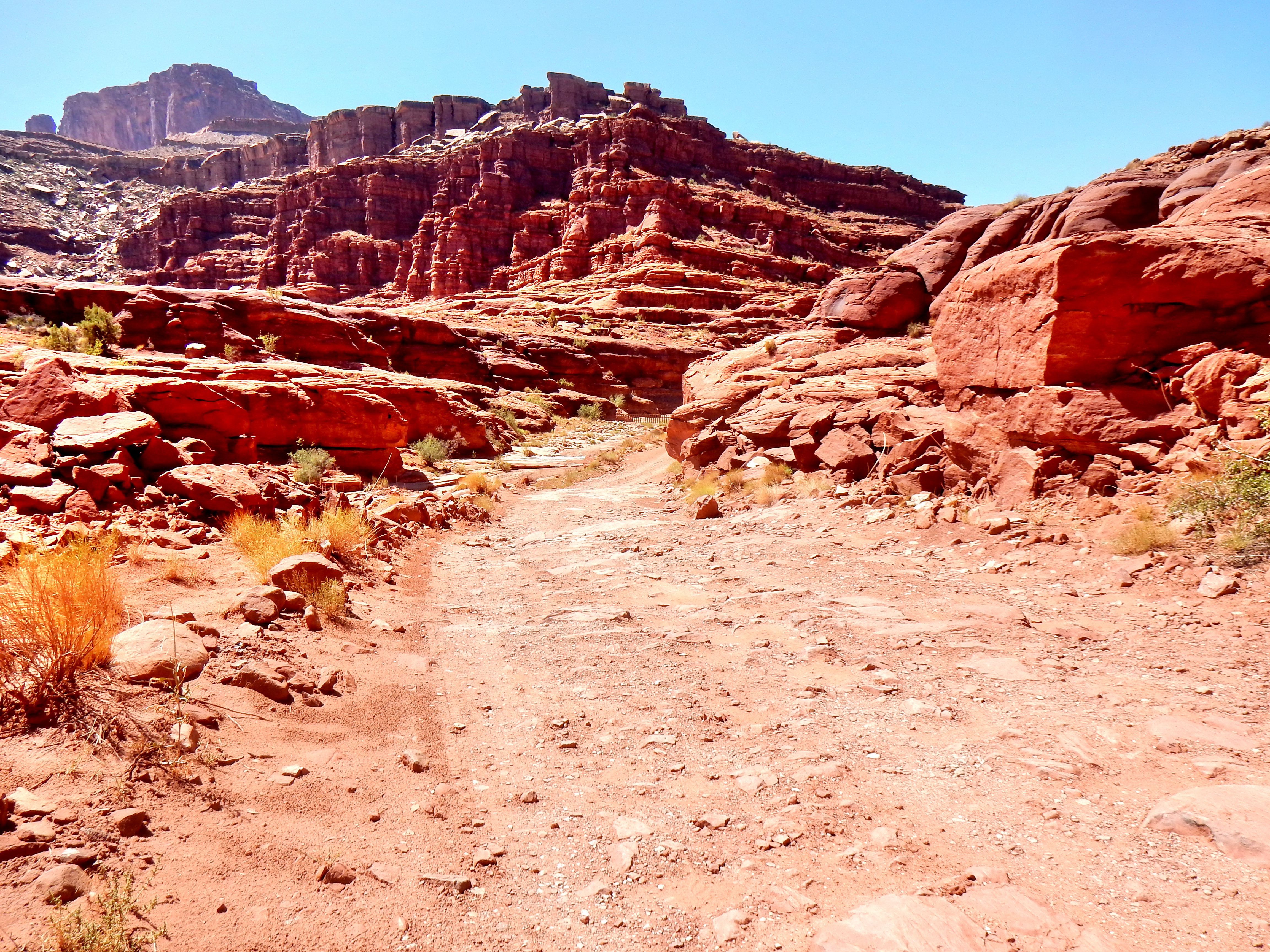
We arrived at a decision point in the road; return back up Shafer Trail or take the more adventurous Potash Road. Well, it was an easy decision to check out Potash Road!
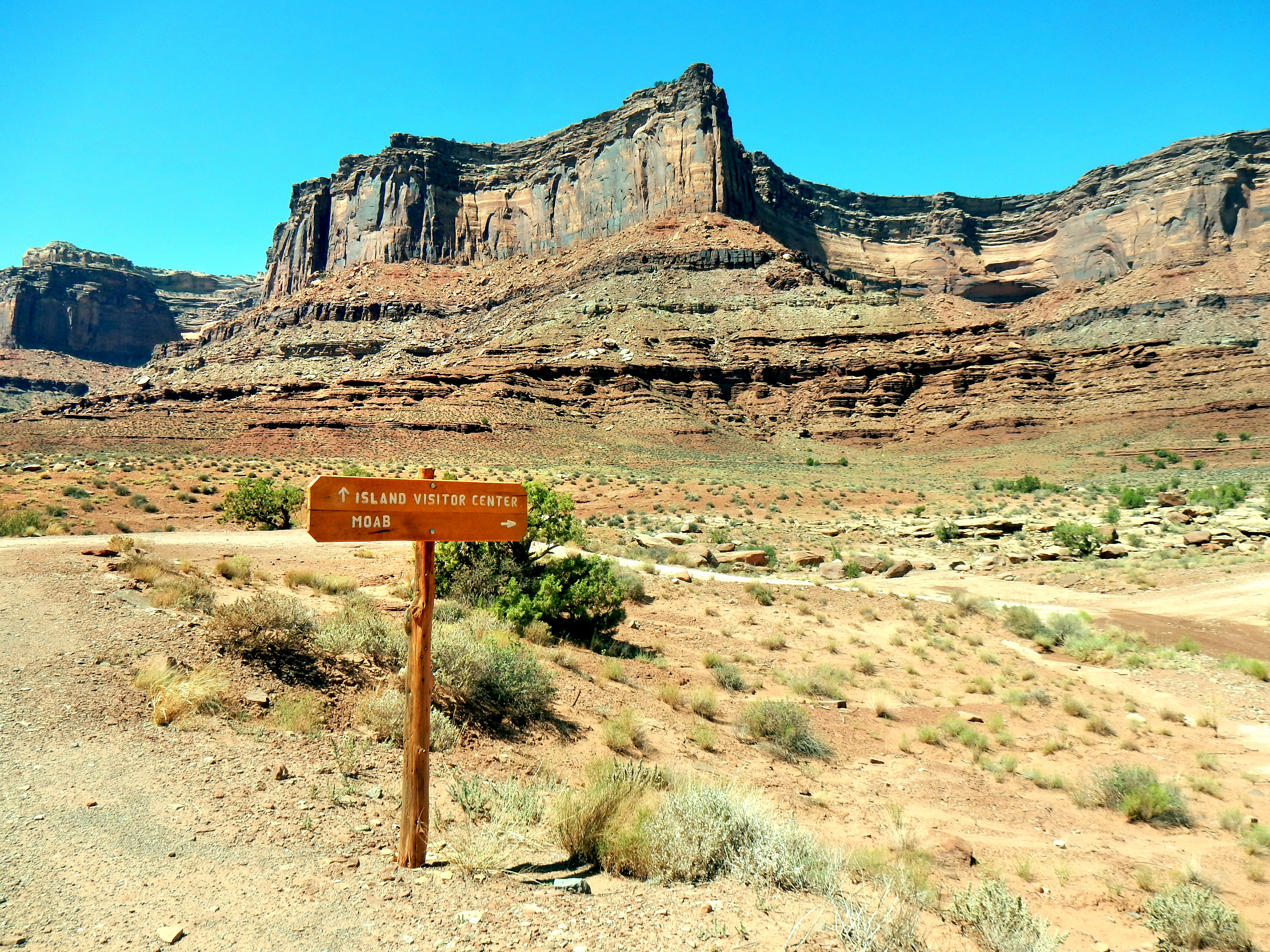
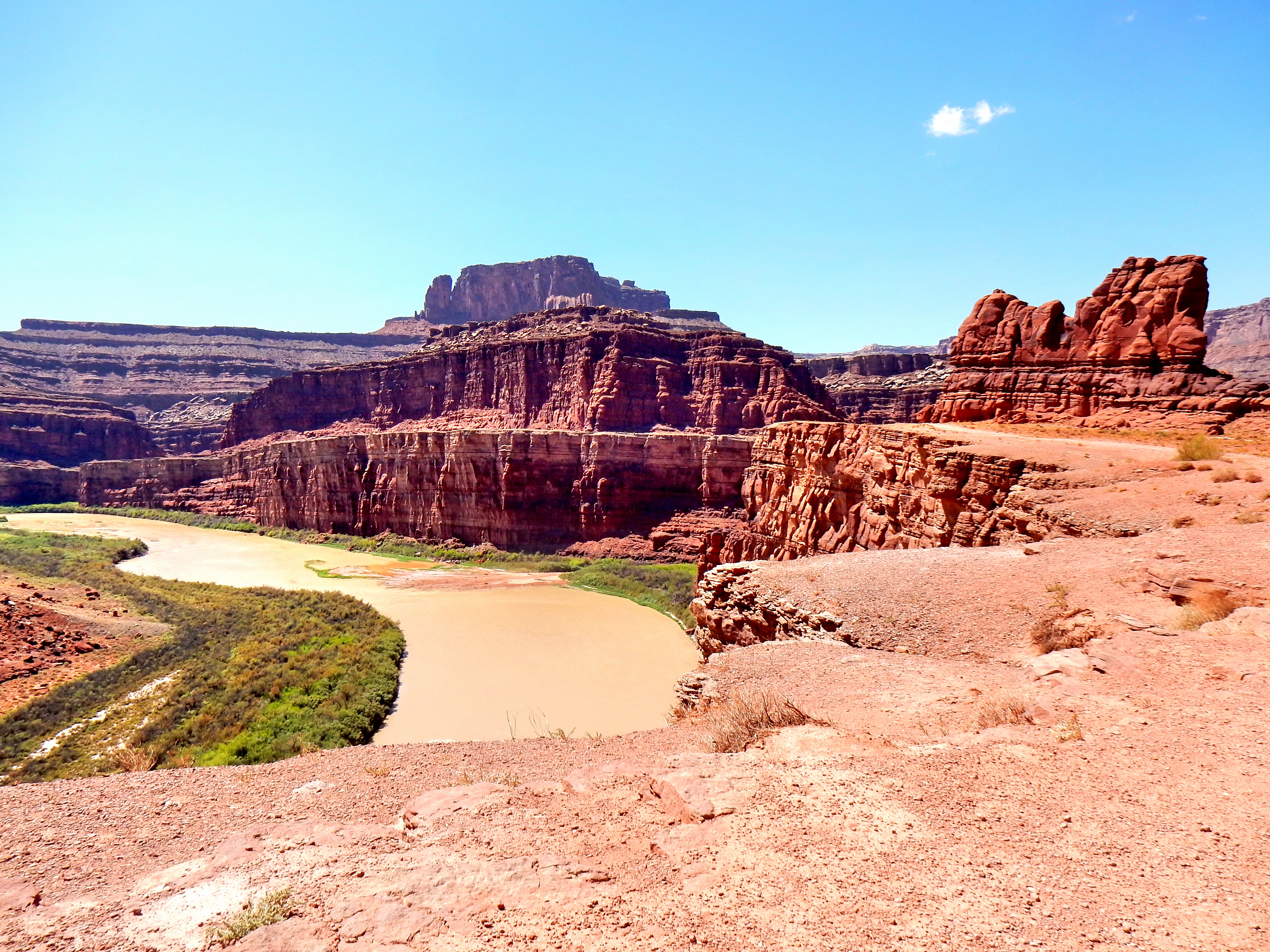
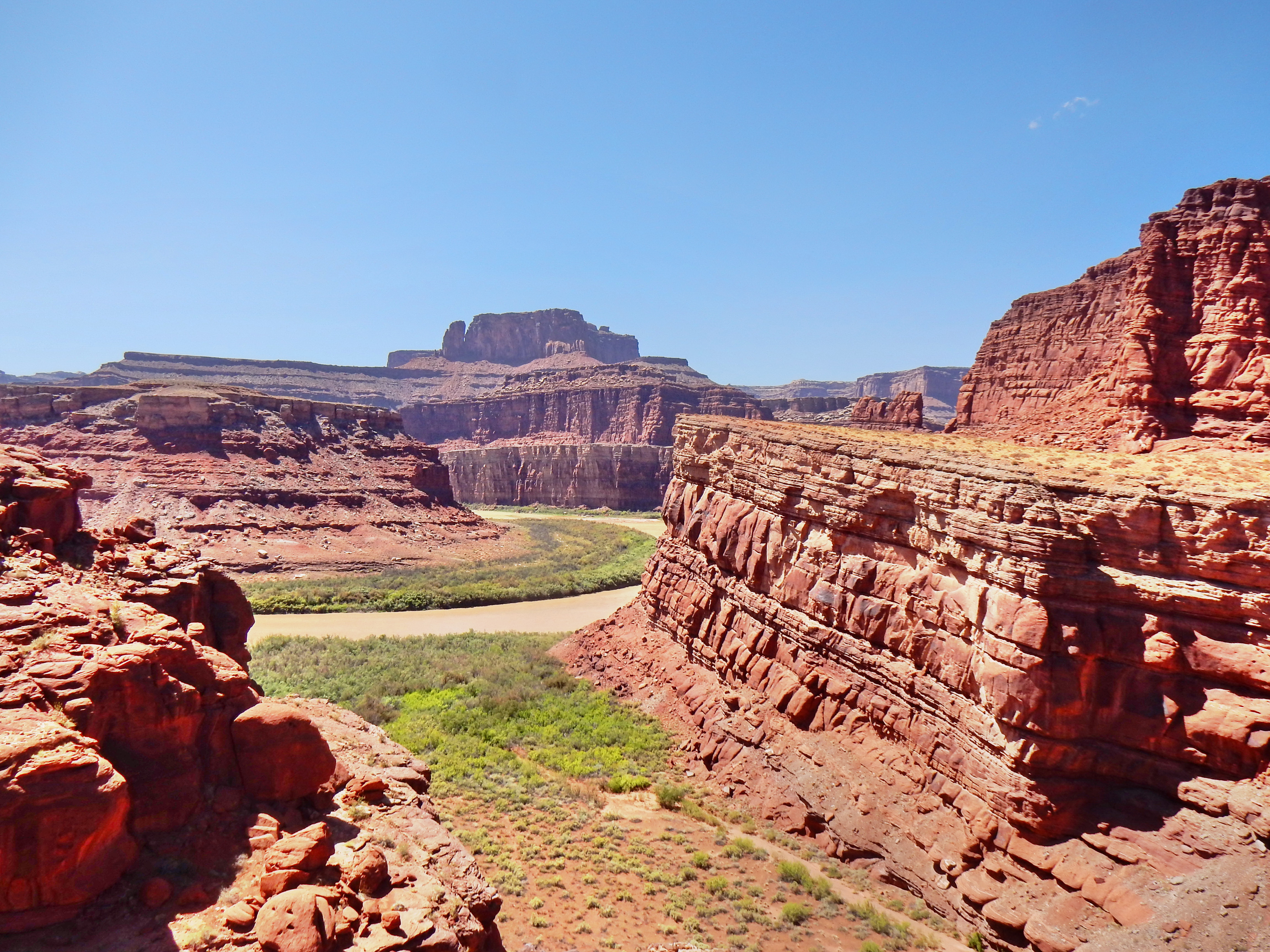
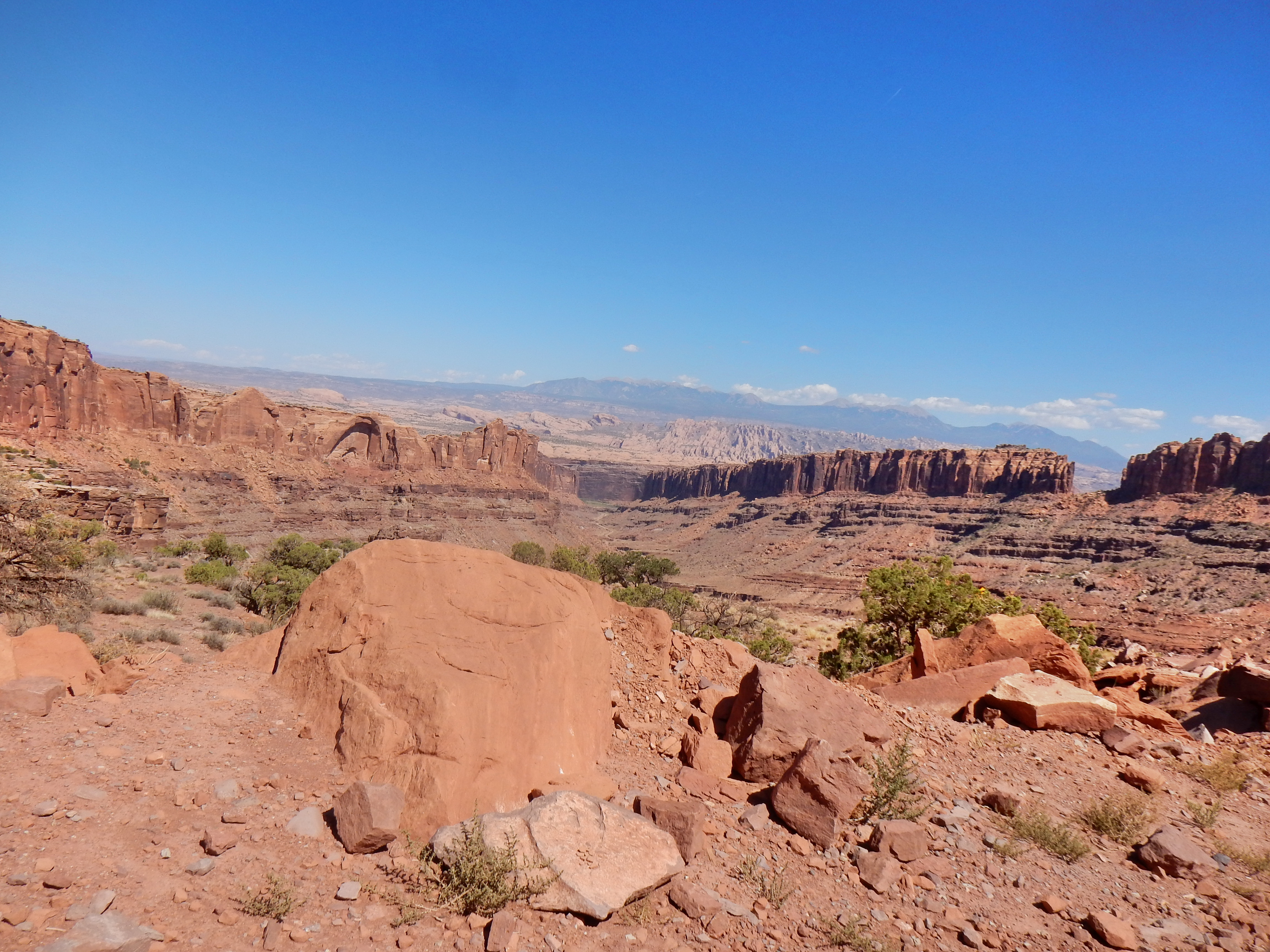
It quickly became apparent that the road would be rougher and less well-maintained, but it was still in great condition overall. We were glad we decided to drive out on Potash Road as the views were great and it possessed a few fun surprises. After the Potash Road section, we joined the unmarked Long Canyon Road to loop back up to Dead Horse Point State Park! The climb up Long Canyon Road to the mesas was steep and a lot of fun as well.
Alright, let’s go for a drive!
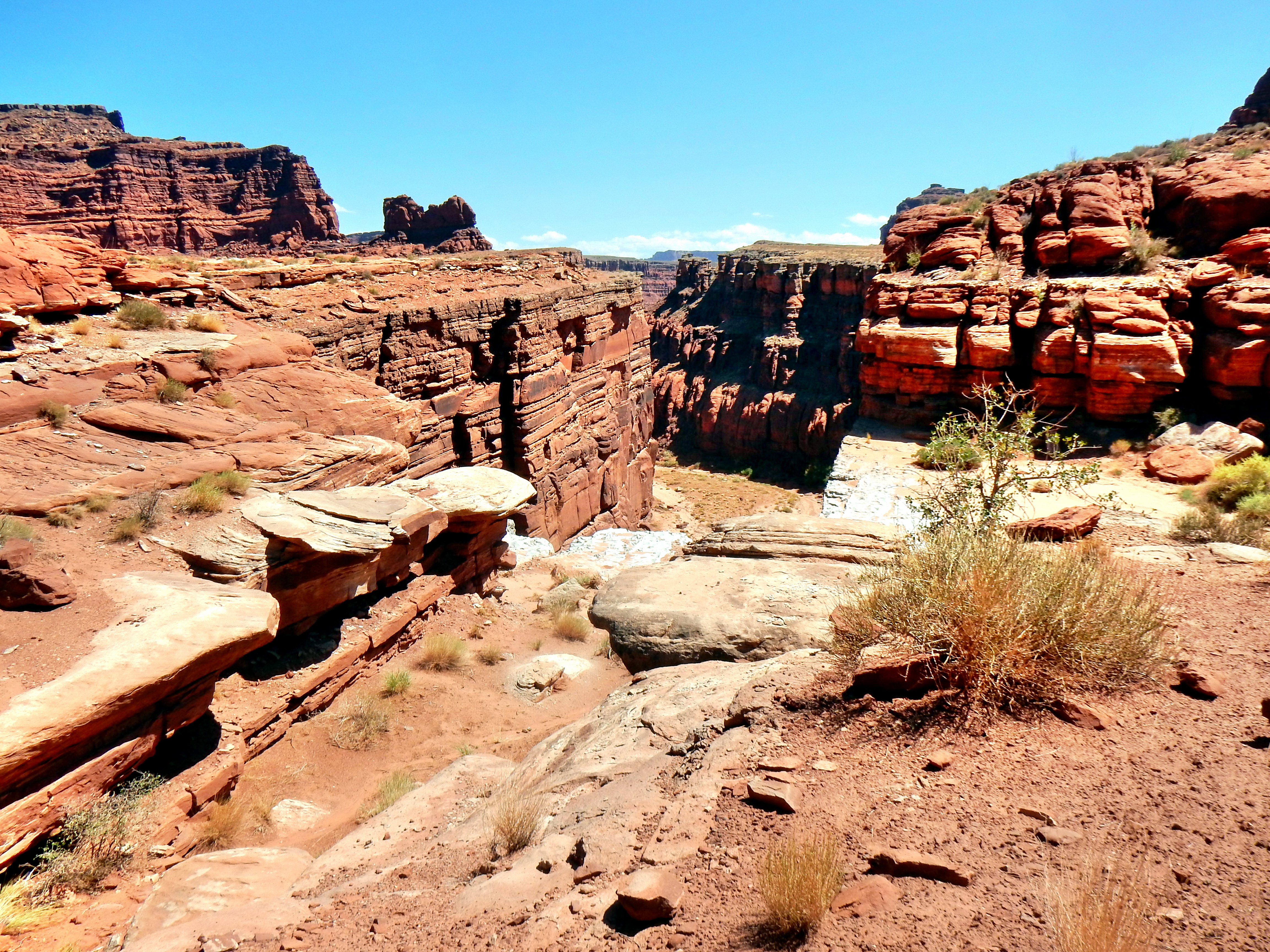
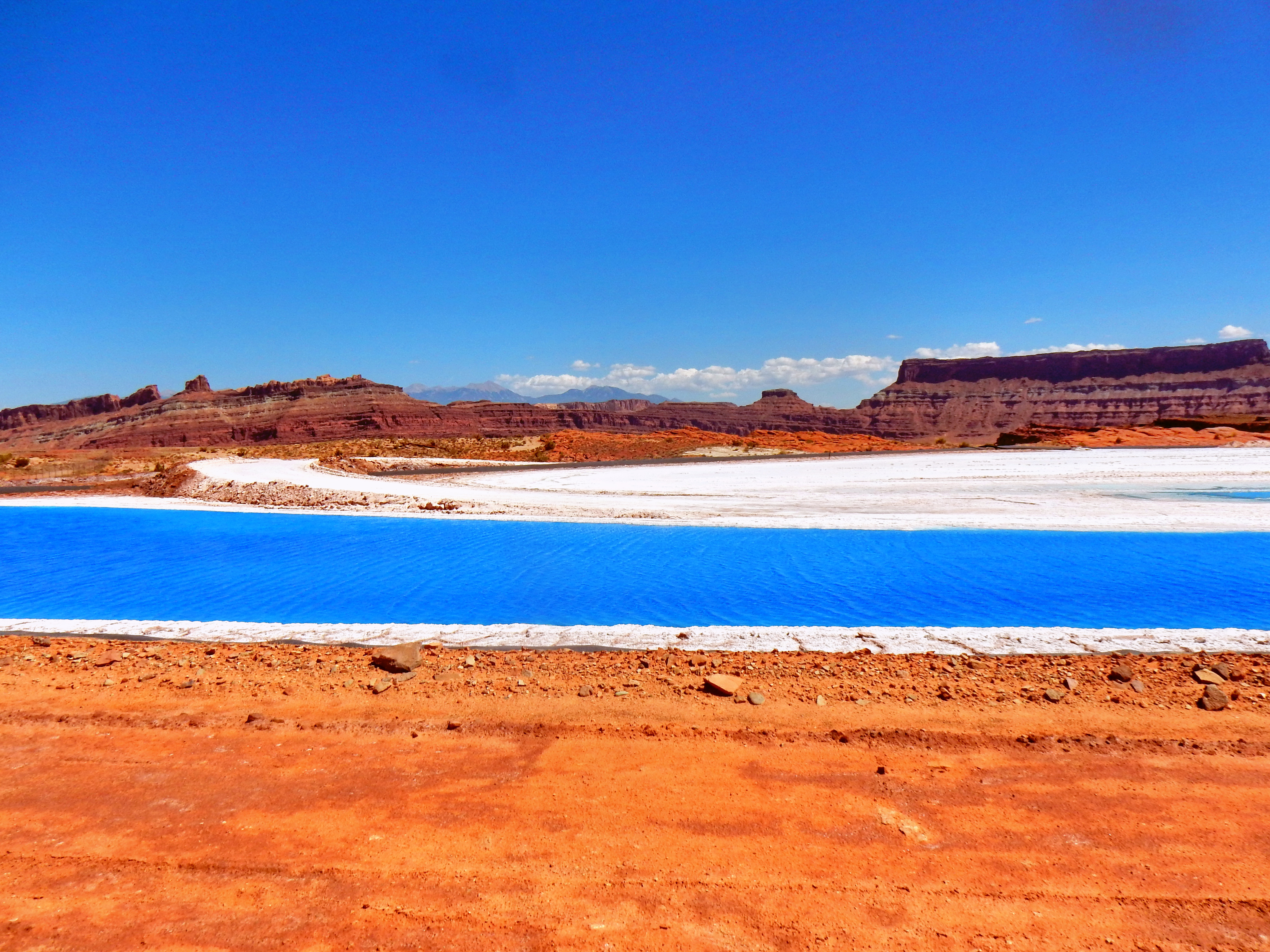
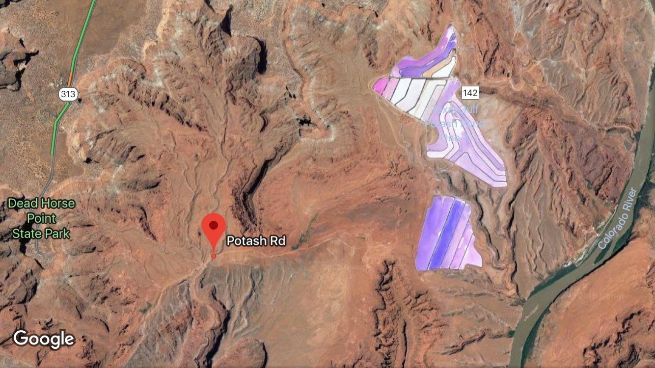
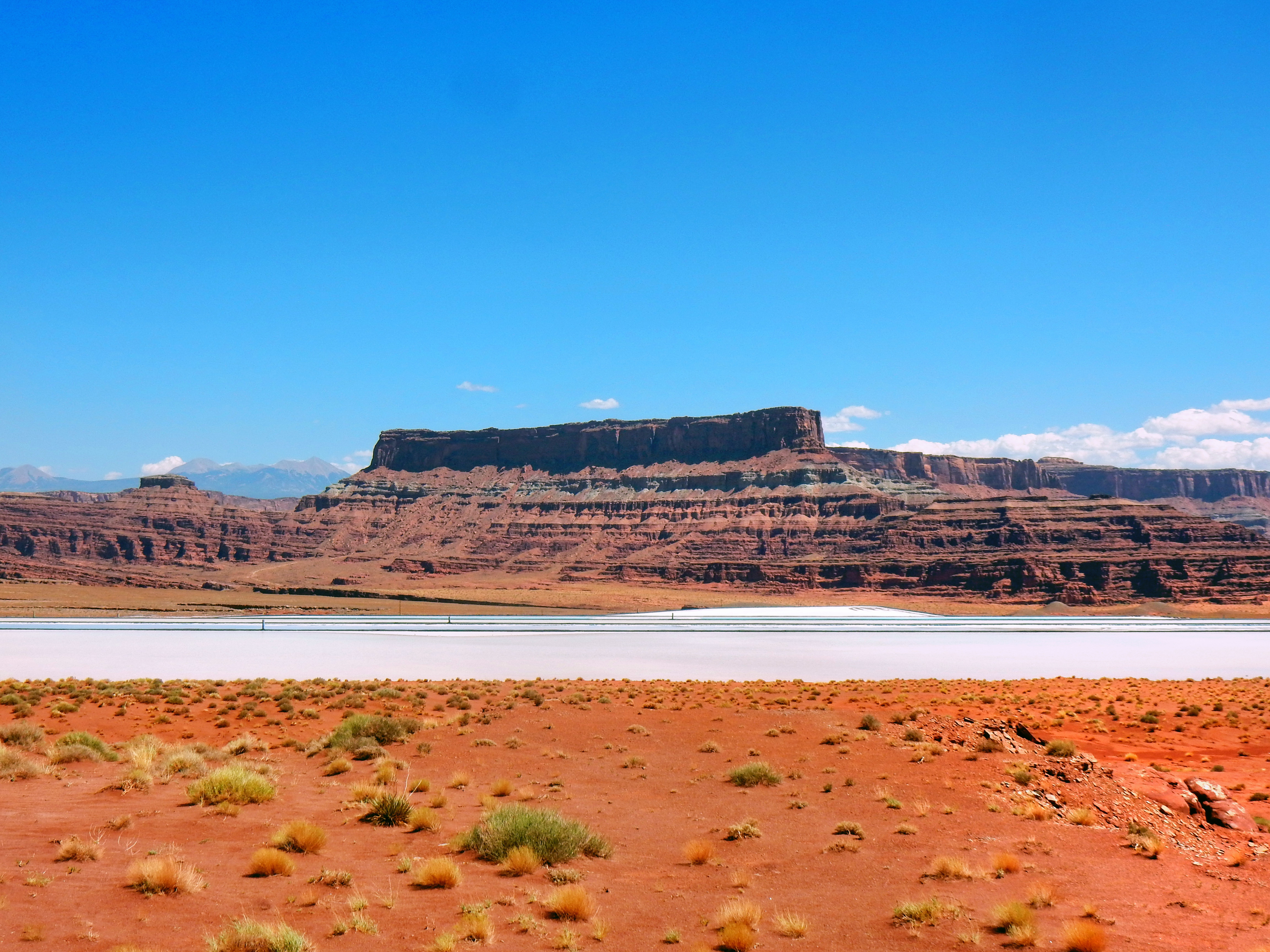
As we neared the end of Potash Road, Elizabeth looked at Google Maps on her phone to make sure we knew where we needed to turn for Long Canyon Road. Our cell reception was not surprisingly lacking, but the maps returned some pretty alien-looking purple splotches. While we didn’t necessarily expect to find these bizarre purple structures, we were excited to figure out what the hell was going on!
The mystery was revealed soon enough as we were greeted with brilliant blue water in addition to the bluebird skies. We laughed at how ridiculous the area looked and nicknamed the area Salt Bae Lakes (Remember the Turkish Chef from YouTube?).
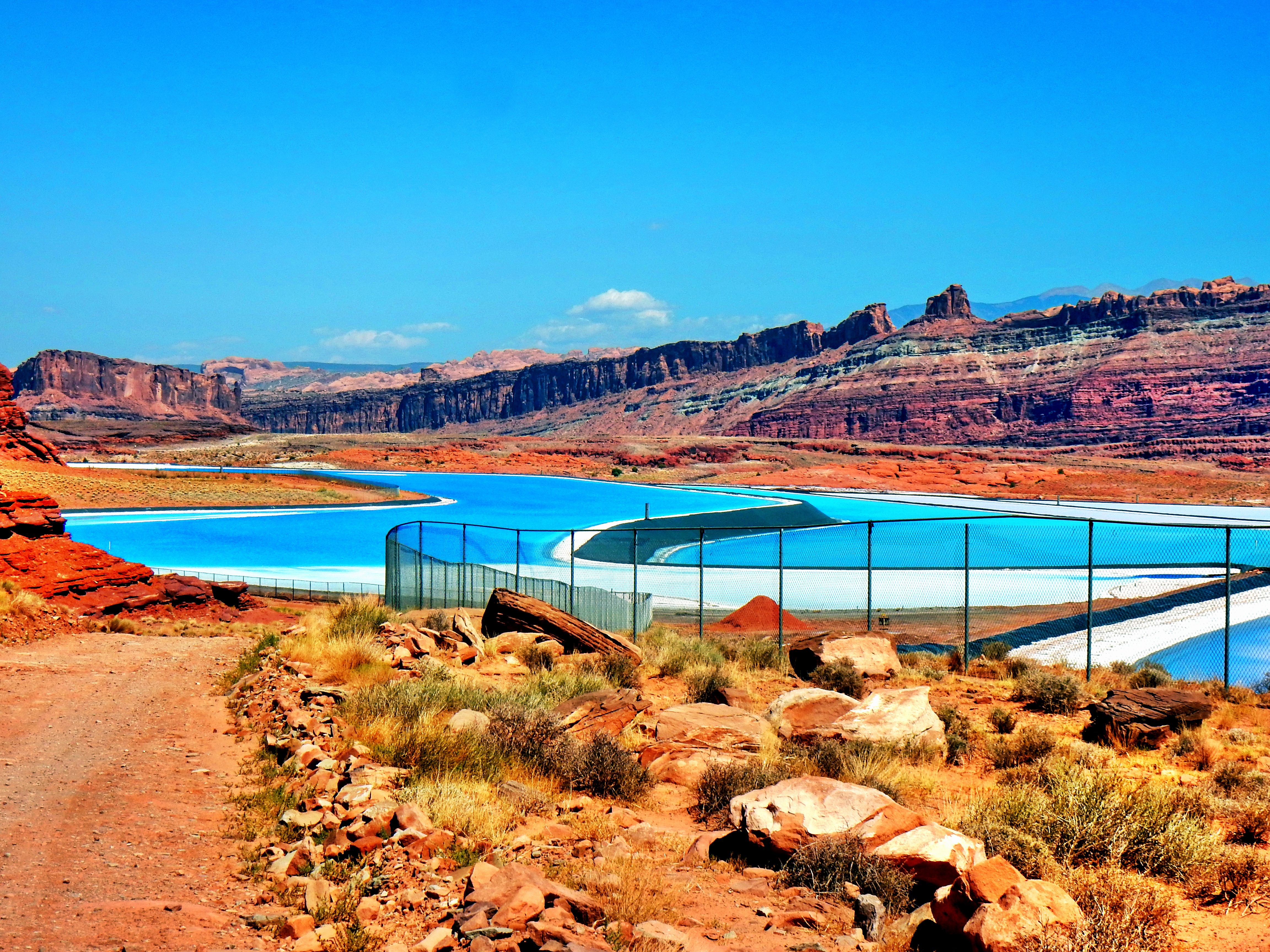
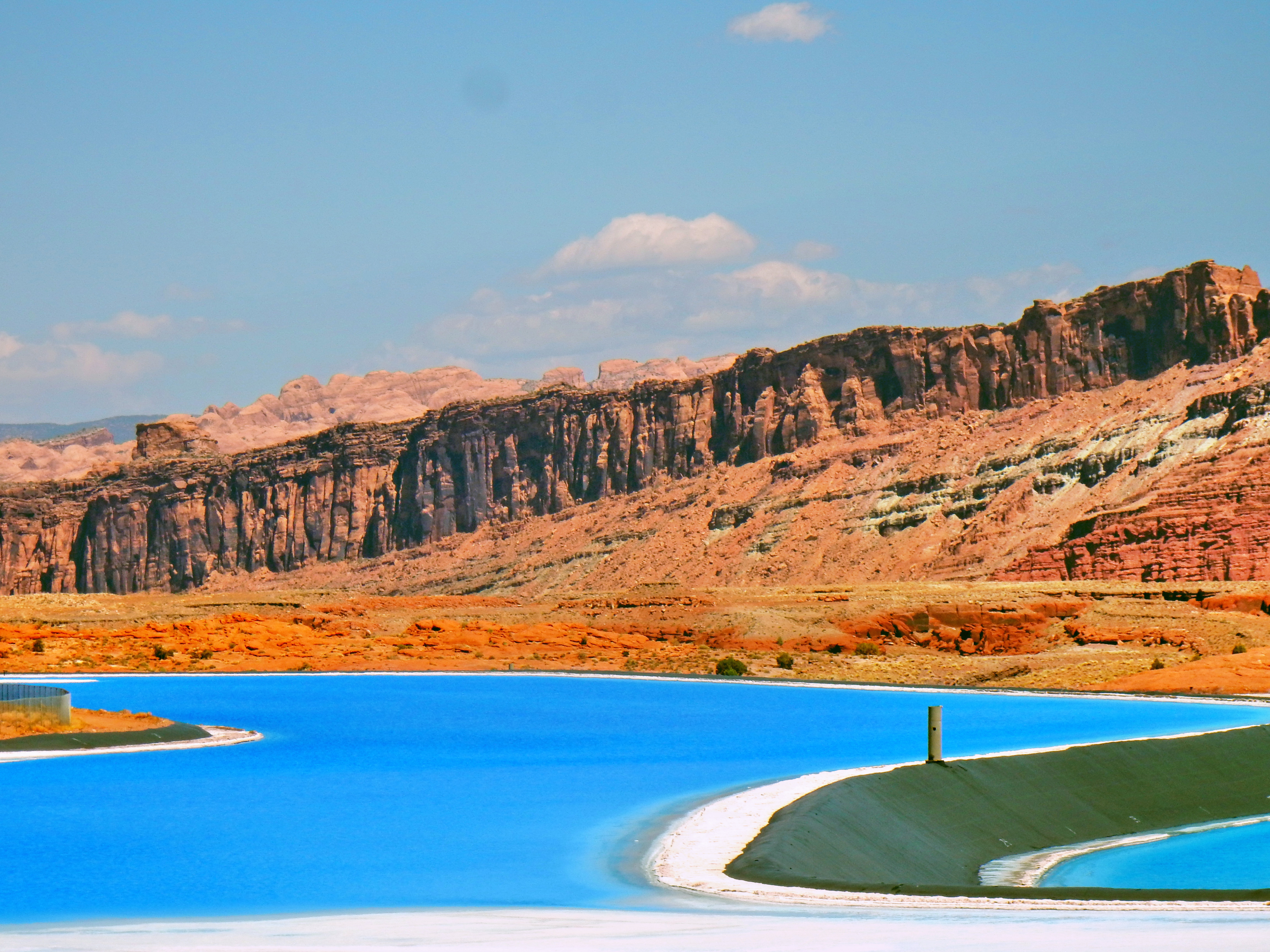
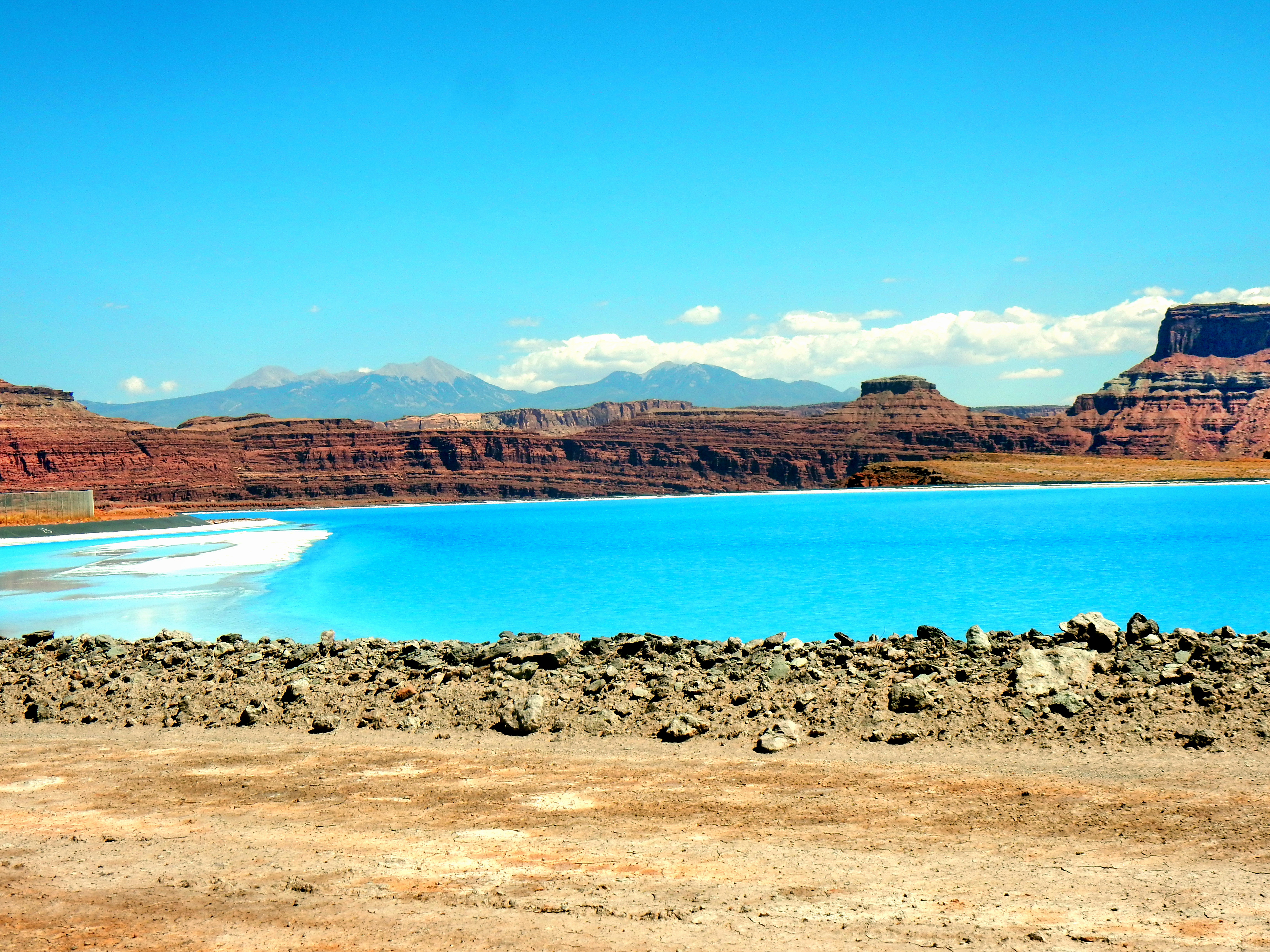

The crazy blue’s contrast with the red canyons was startling and awesome! It looked fake and unnatural! At the risk of ruining the surprise for you, it was in fact unnatural. We started to see signs for Intrepid Potash, Inc. and realized it was some sort of salt mining operation. Since we didn’t have cell reception and weren’t familiar, we still didn’t understand what we were looking at exactly. Although, the mystery didn’t last for long as we found a informative sign explaining the ponds at a viewpoint within Dead Horse Point State Park. Intrepid Potash is a fertilizer manufacturer and it turns out the ponds are used to extract potassium chloride for use in their fertilizer. As far as the blue color, the company uses a dye which apparently accelerates the evaporation process.
Alright, let’s get back on the road now…
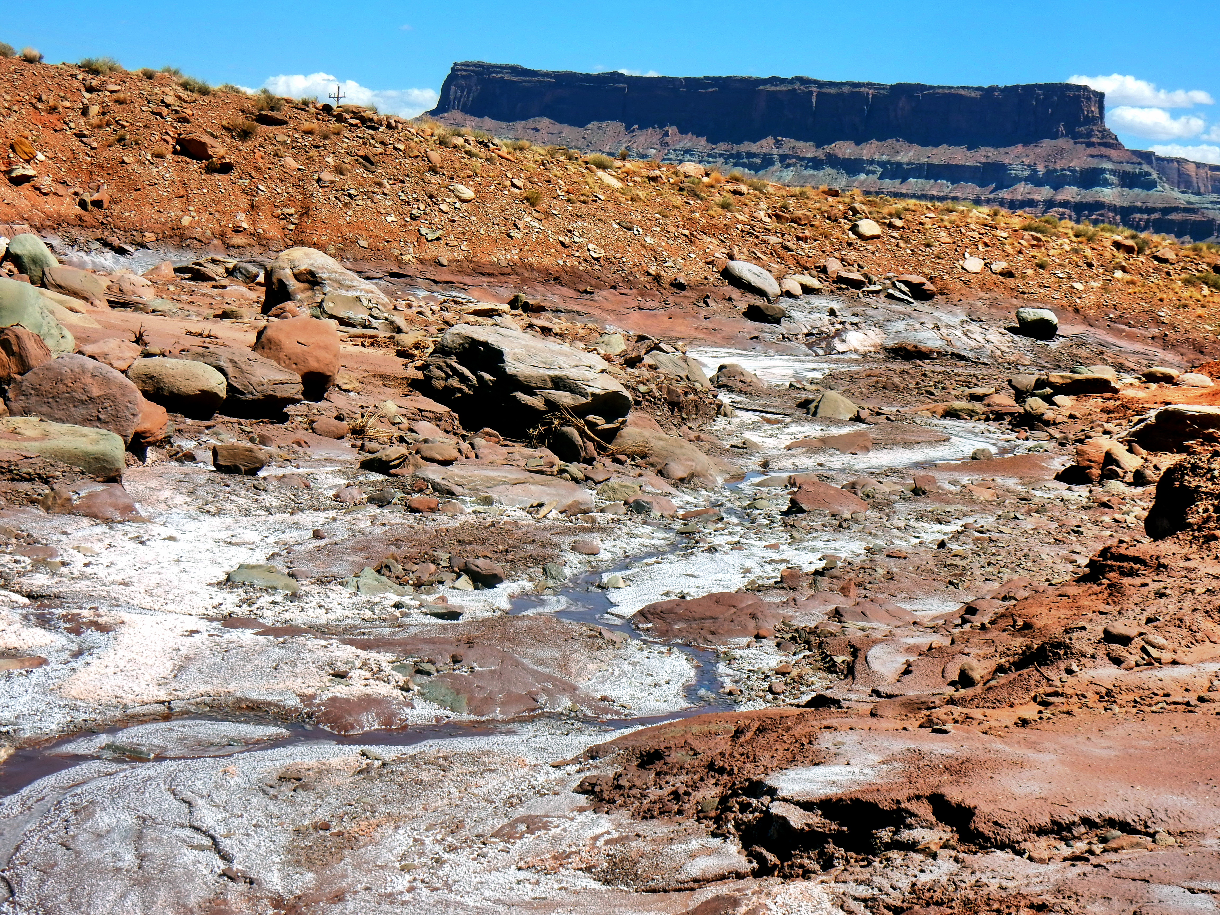
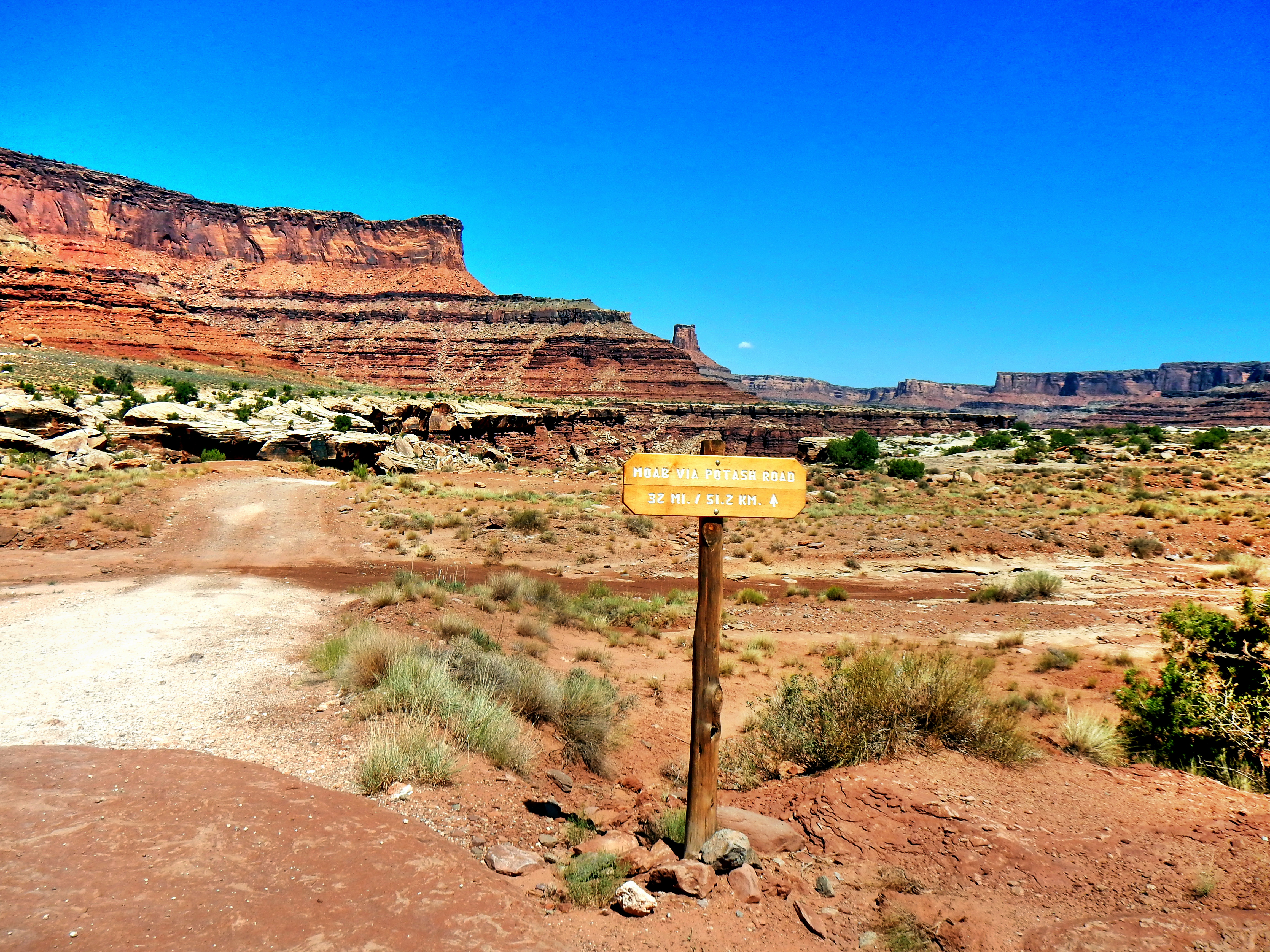
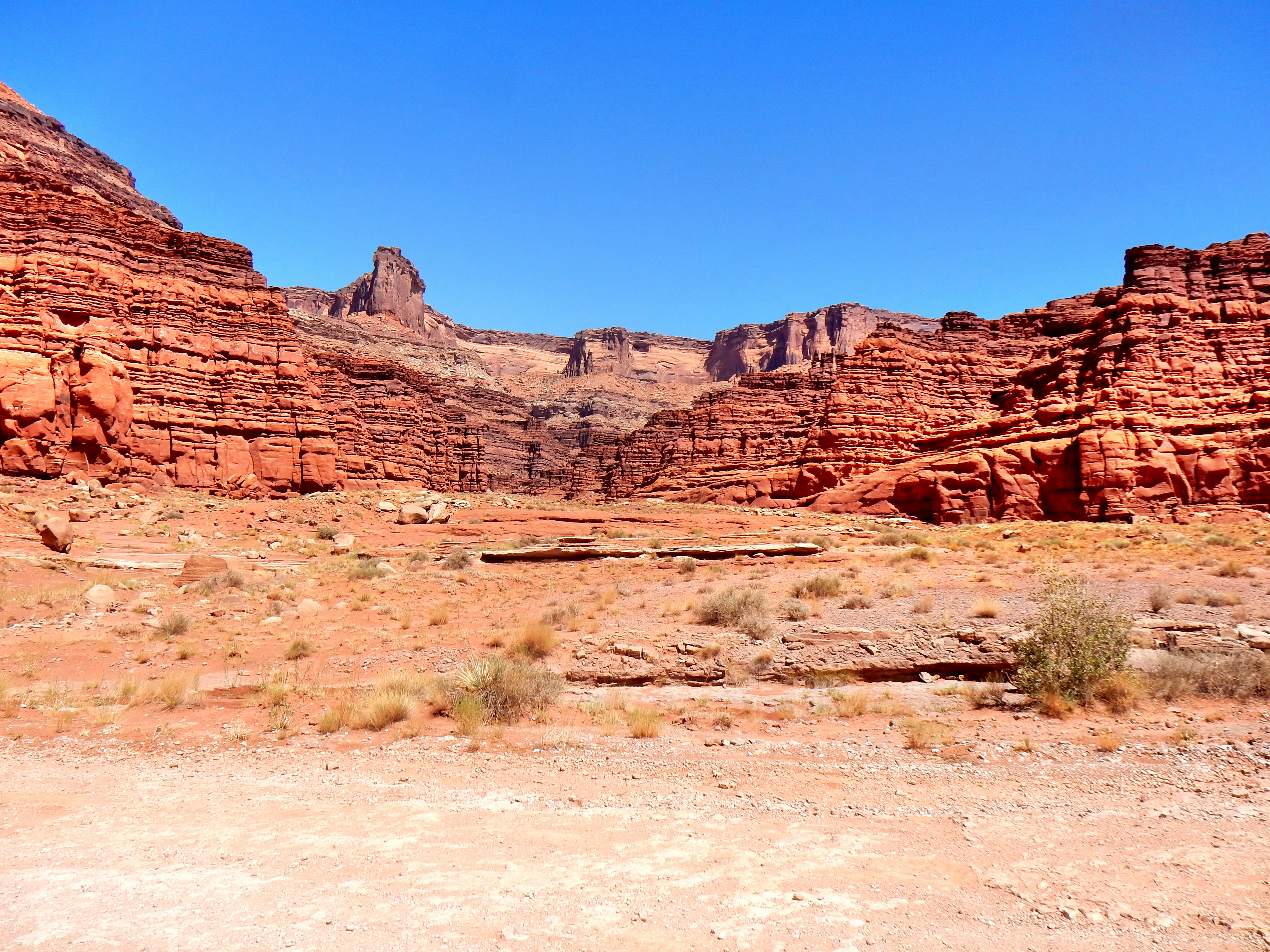
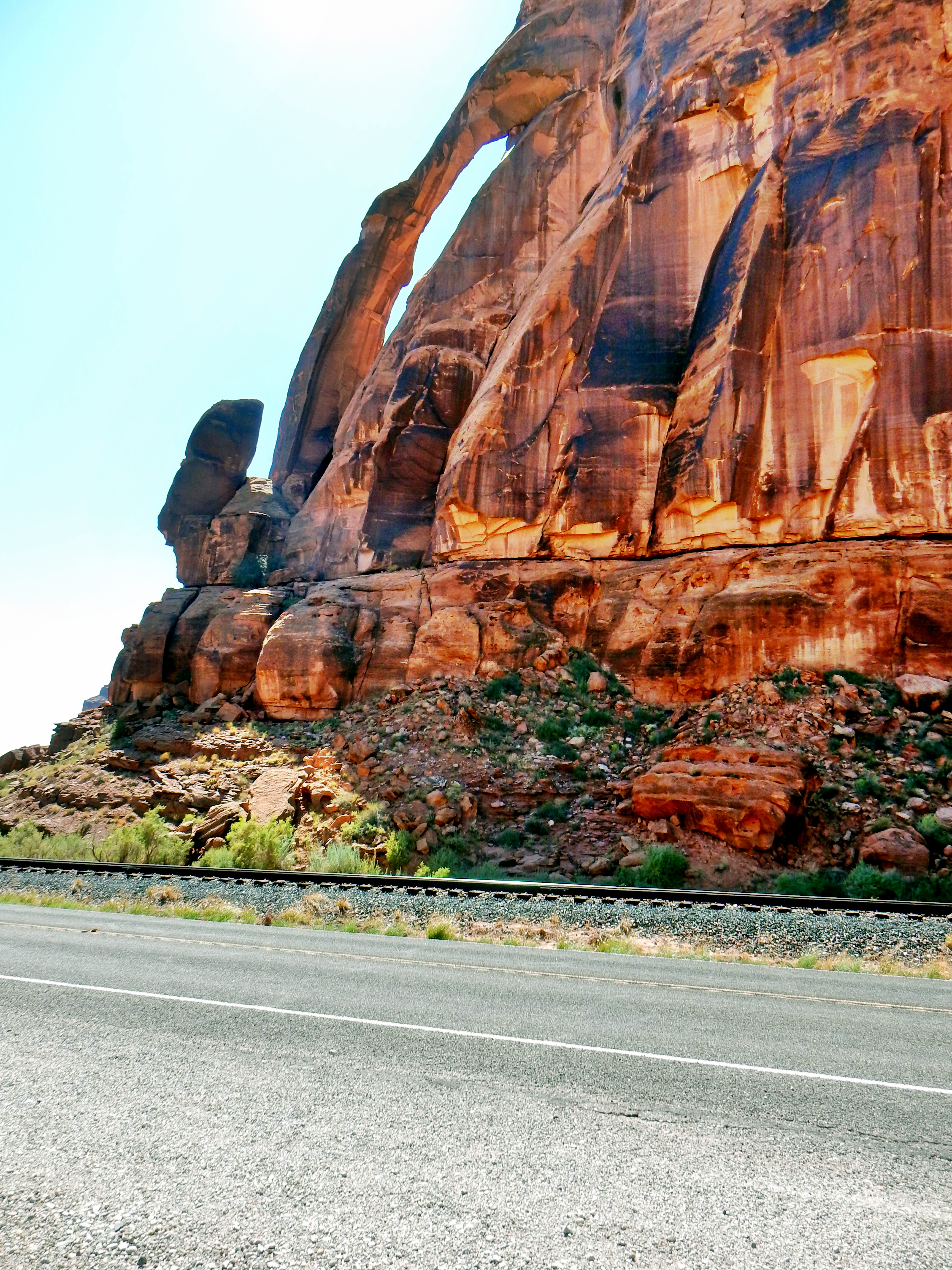
We missed the turn for Long Canyon Road initially because it wasn’t marked with any signs and I wasn’t paying attention. This turned out to be a good thing though as we got to see Jug Handle Arch this way (we missed it driving by the first time). It turned out that you follow the sign for parking at Jug Handle Arch and then Long Canyon is the road beyond that.
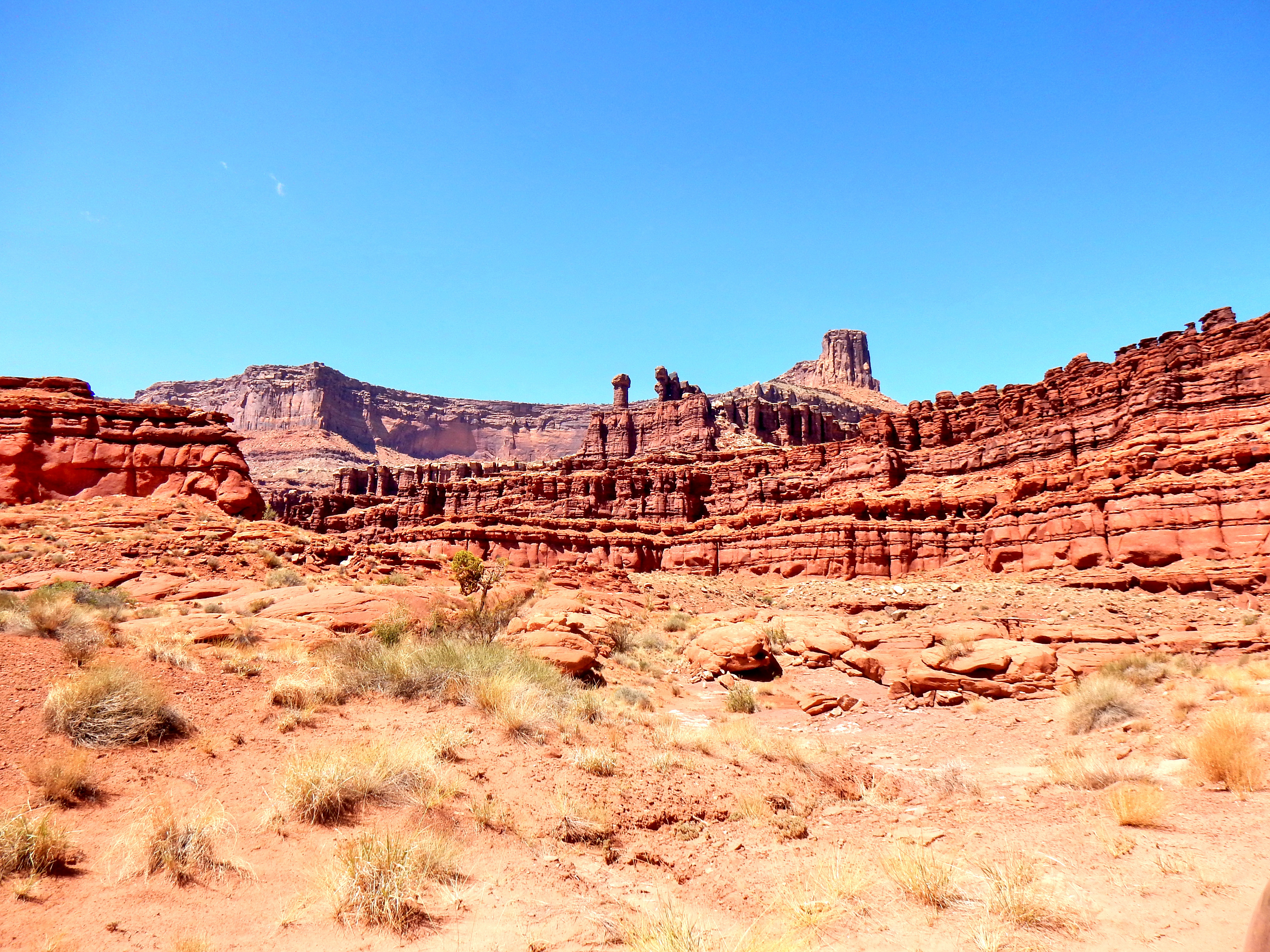
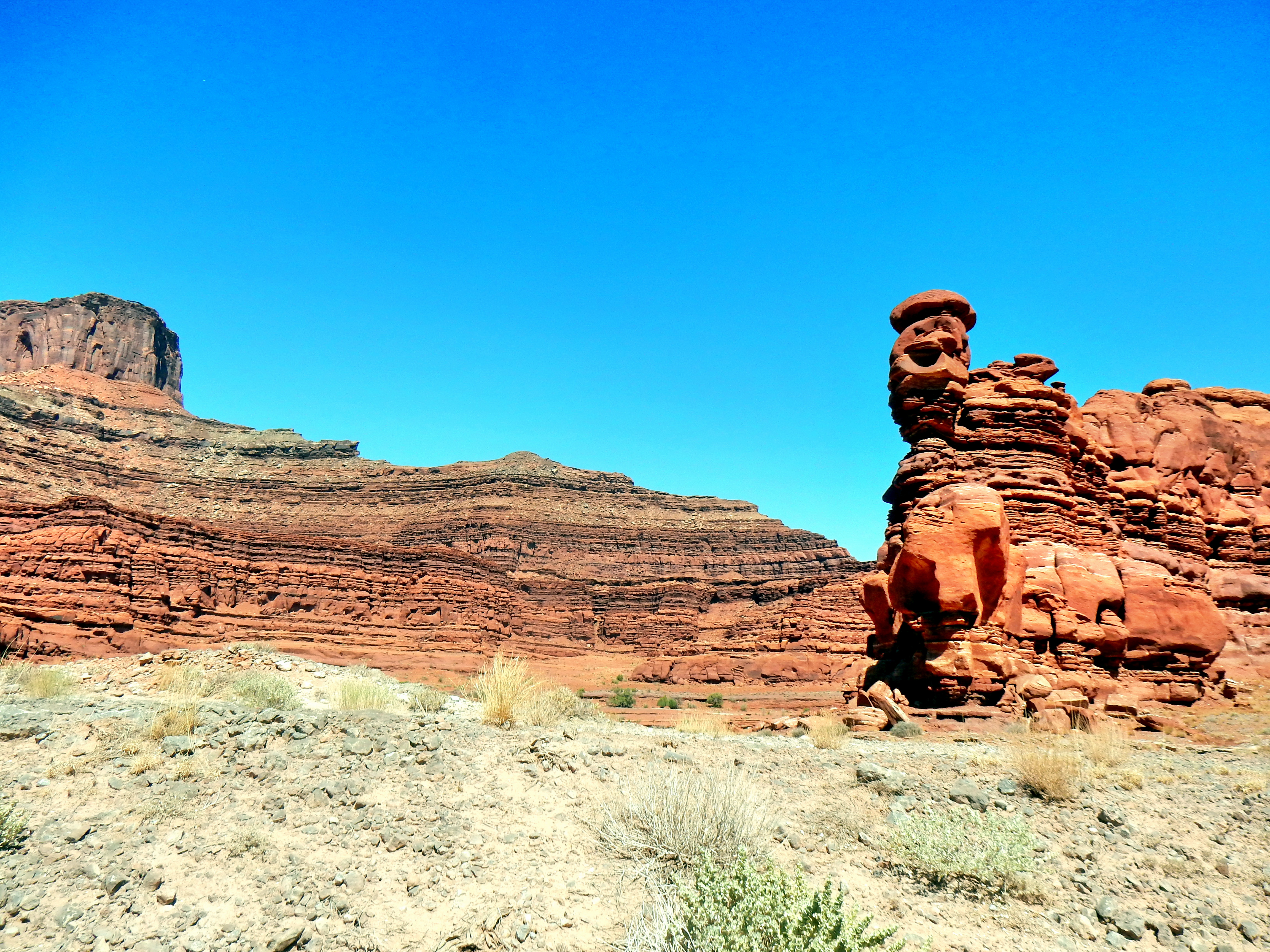
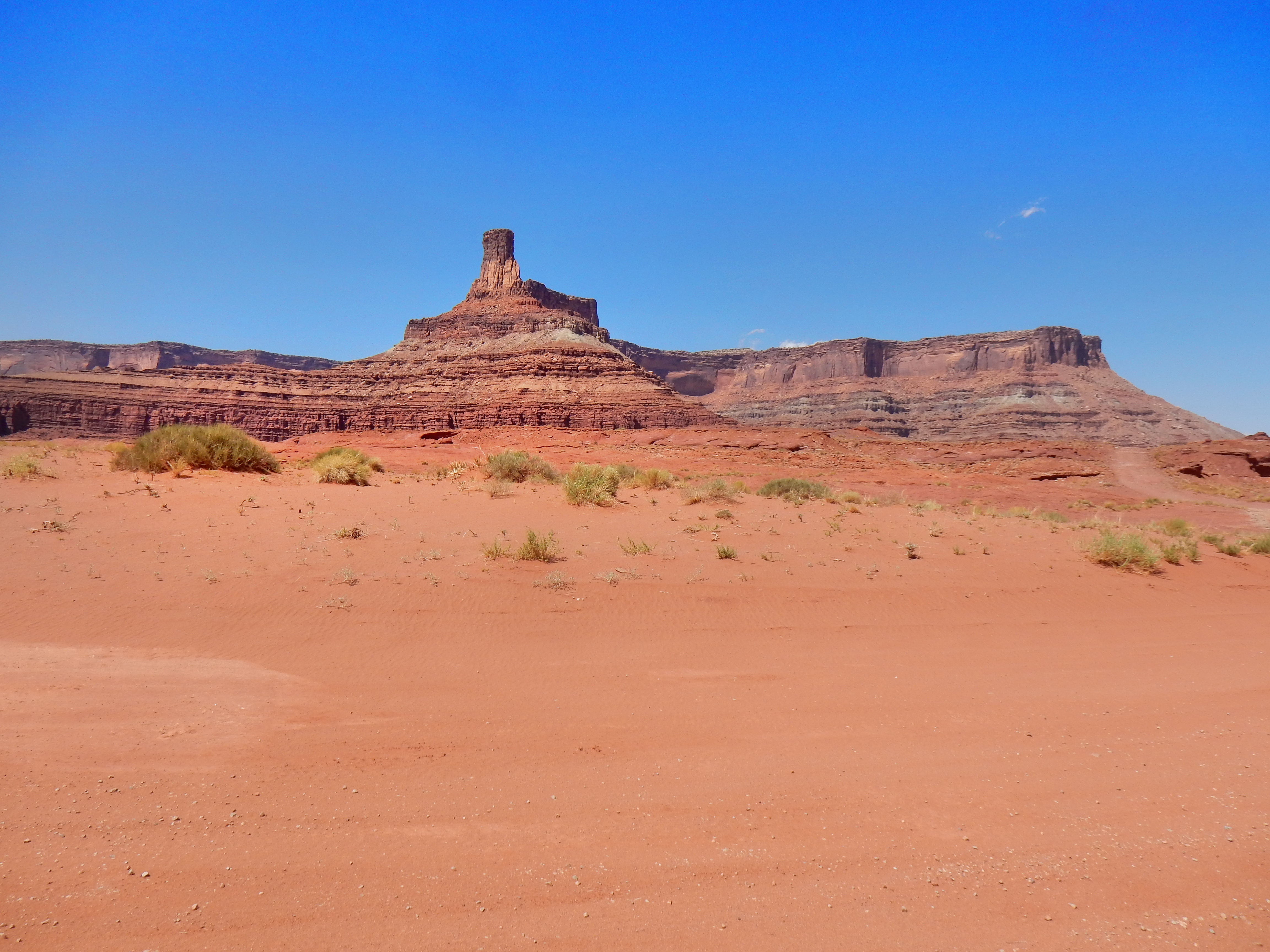
We didn’t take a ton of pictures on Long Canyon Road, but it was a really fun drive!
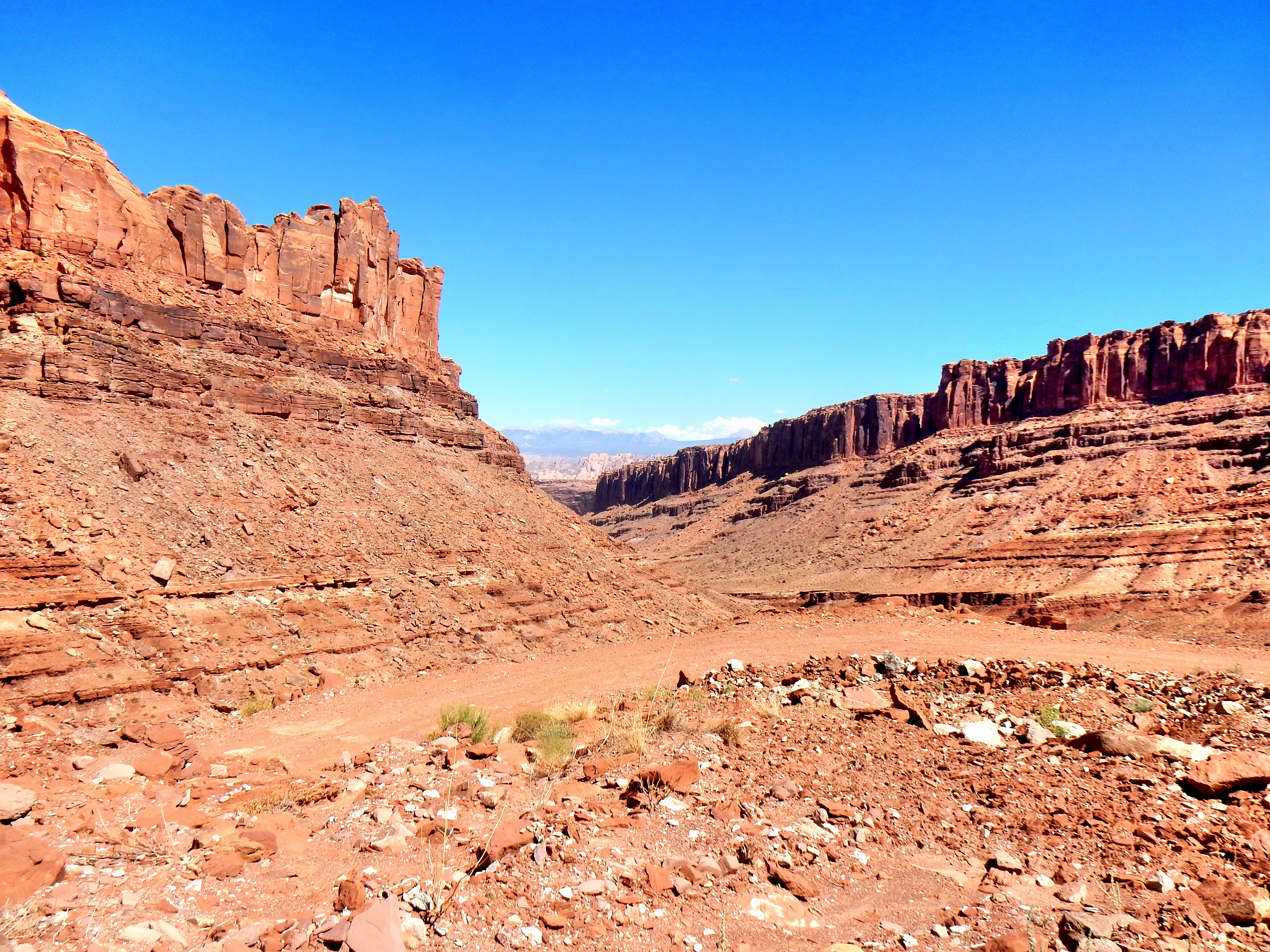
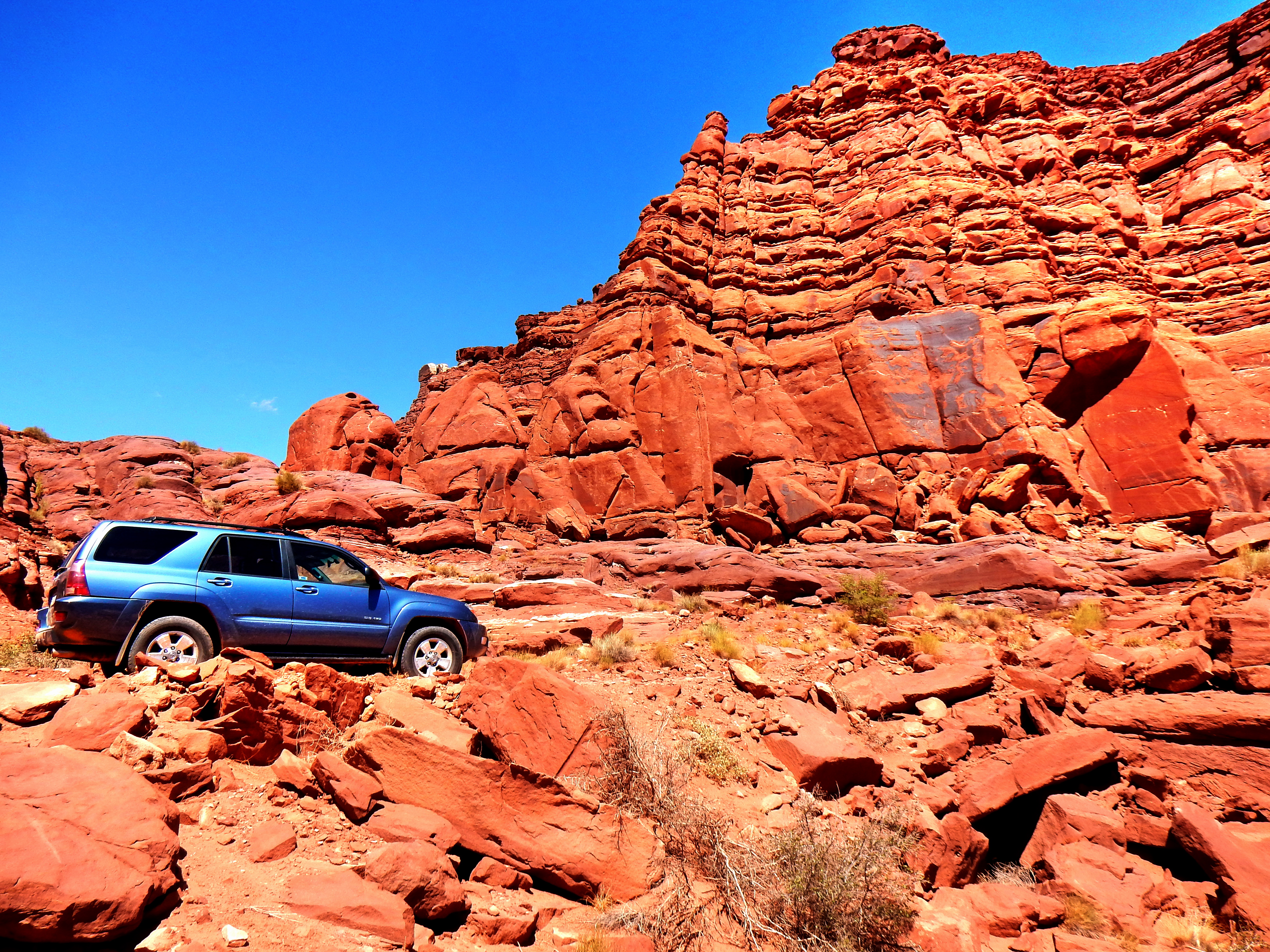
As we got closer to the top, we were greeted with one final challenge:
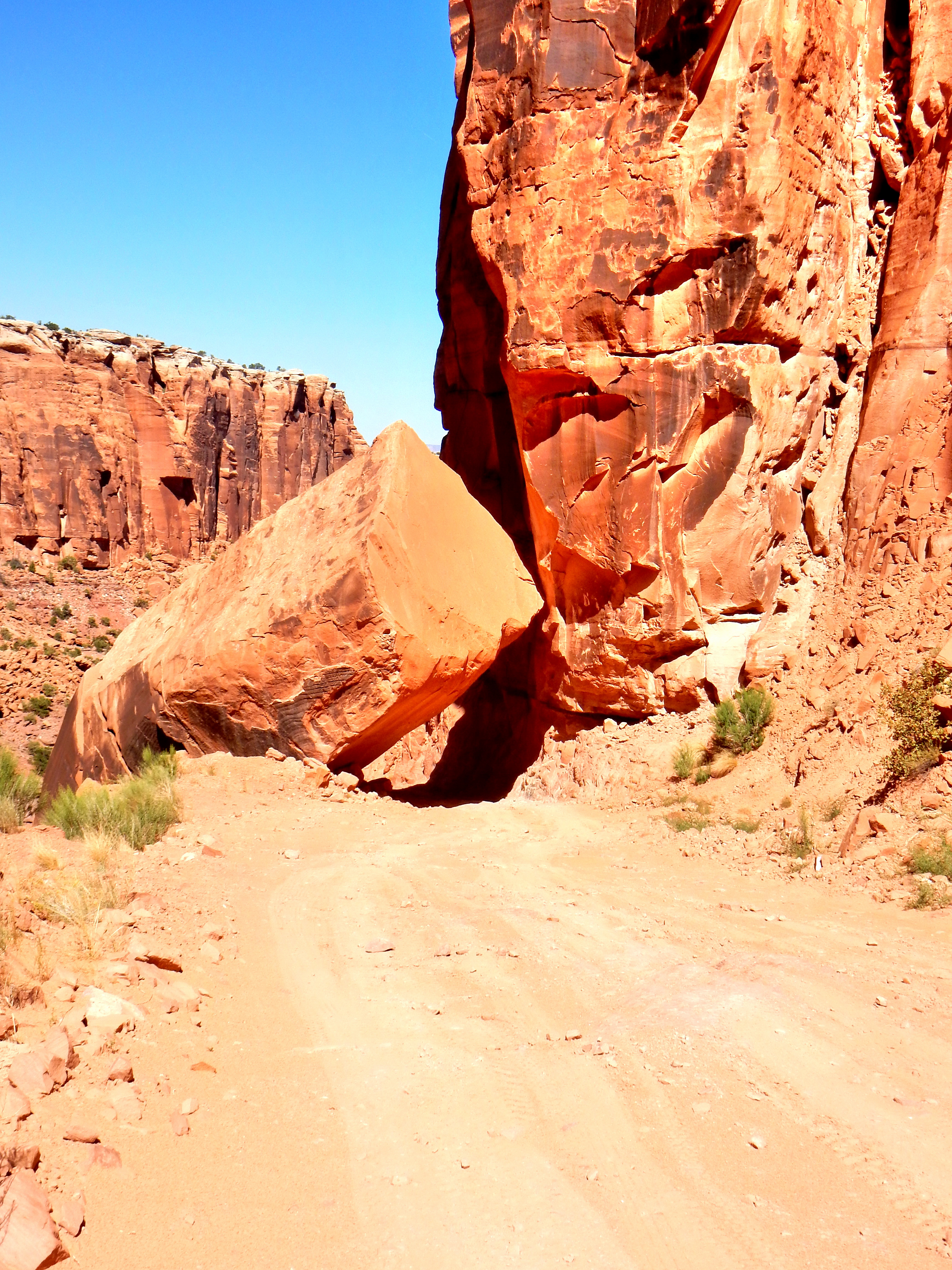
The road happened to be the most rutted and rocky about as we sliced directly under this huge boulder! I couldn’t see too well as we were driving directly into the sun either, so it was somewhat of a plunge into this section. Elizabeth was a little freaked out and I’ll admit I was a little nervous, but luckily we passed right on through! We wanted a picture, but the road was steep enough that I wanted to keep our momentum for a bit longer. This picture is from just above as I wasn’t about to reverse back under for a photo. We were still laughing about this boulder as we cruised on the then 2WD road the rest of the way to Dead Horse Point State Park.
One thought on “Potash Road/Long Canyon Road- Canyonlands N.P.”
Comments are closed.