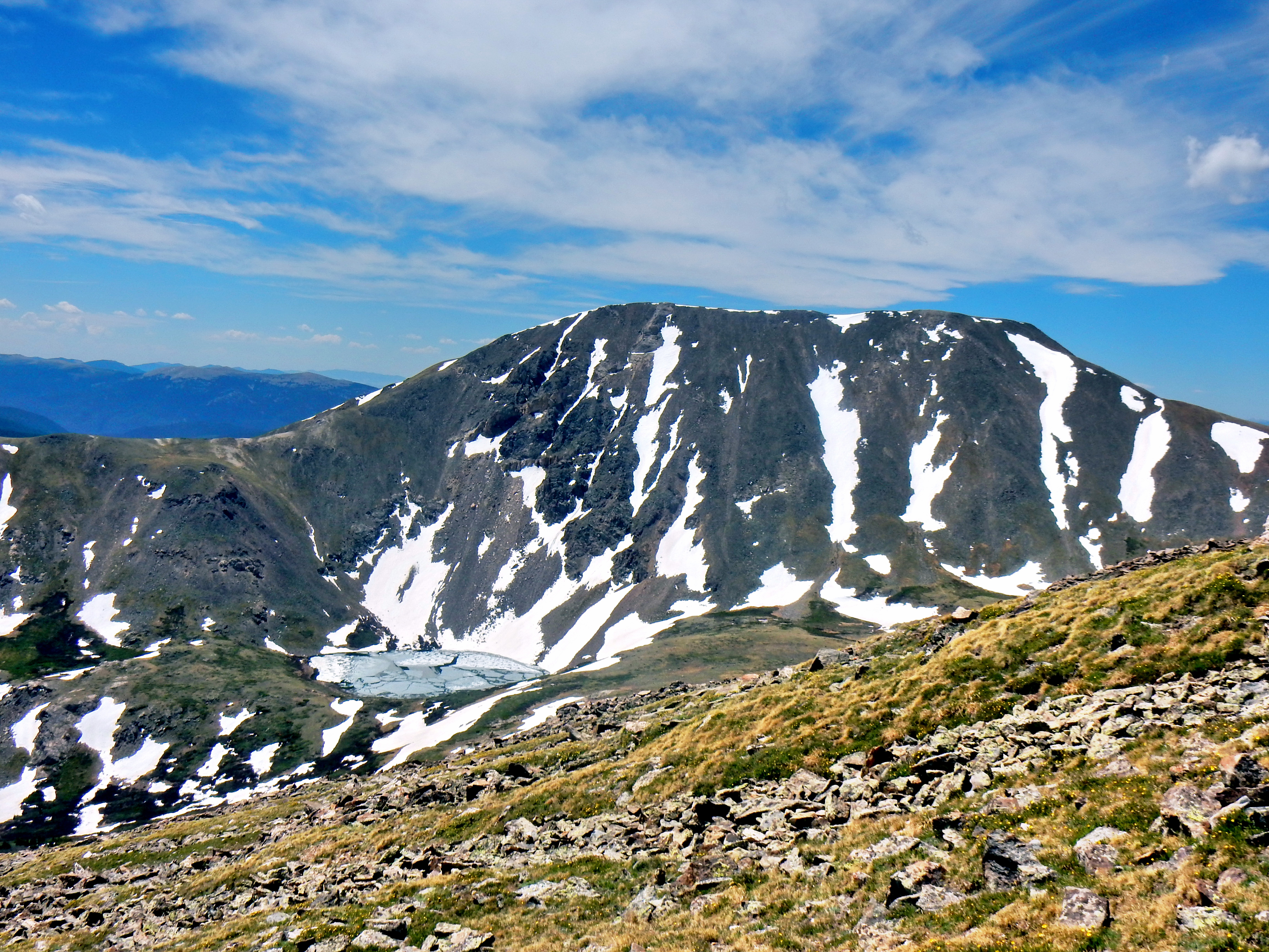
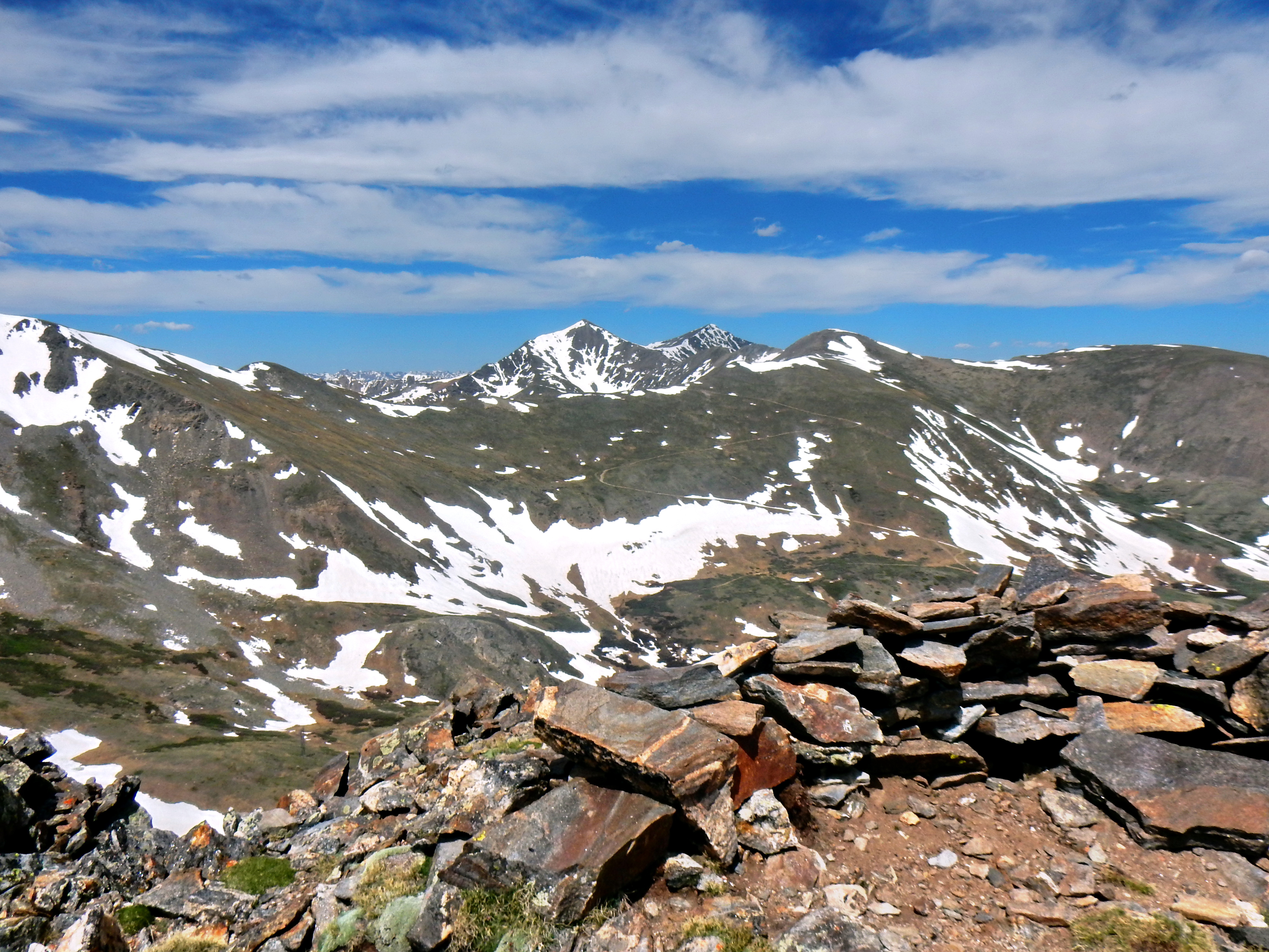
While climbing Mt. Bierstadt over the weekend, we gazed back down at the Guanella Pass trailhead and beyond extensively. Grays and Torreys stand out very prominently and it was easy to recognize many other mountains as well, but Square Top Mountain really caught my eye. I’ve hiked quite a bit in the Front Range recently and had seen Square Top from several different angles, so I figured it was time for a proper introduction. A quick look on 14ers.com and I found it was seemingly straightforward to make a big loop with two more 13ers (Argentine Peak and Mt. Wilcox). The only obstacle was avoiding private property surrounding Naylor Lake on the way back, but more on that later.
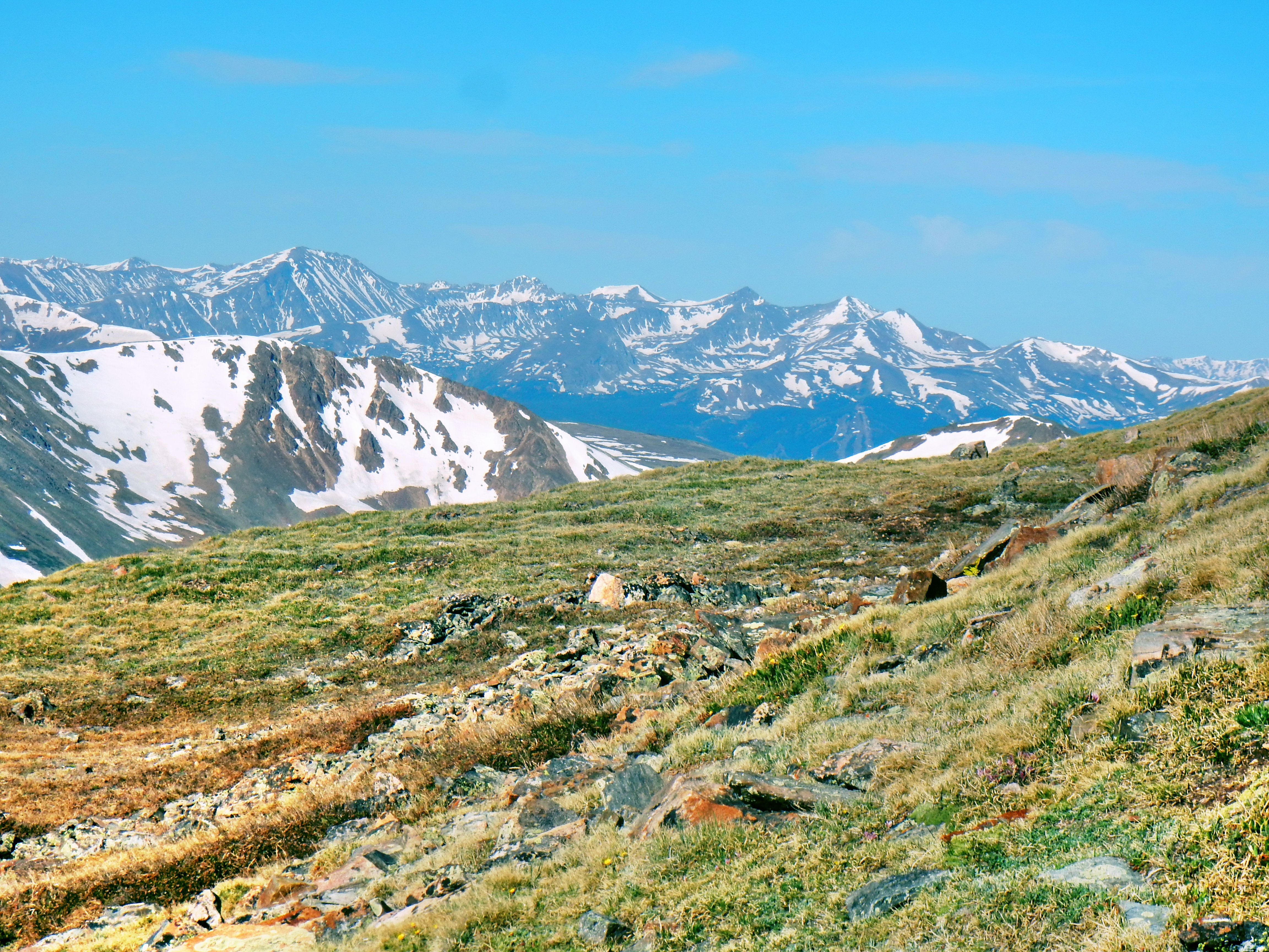
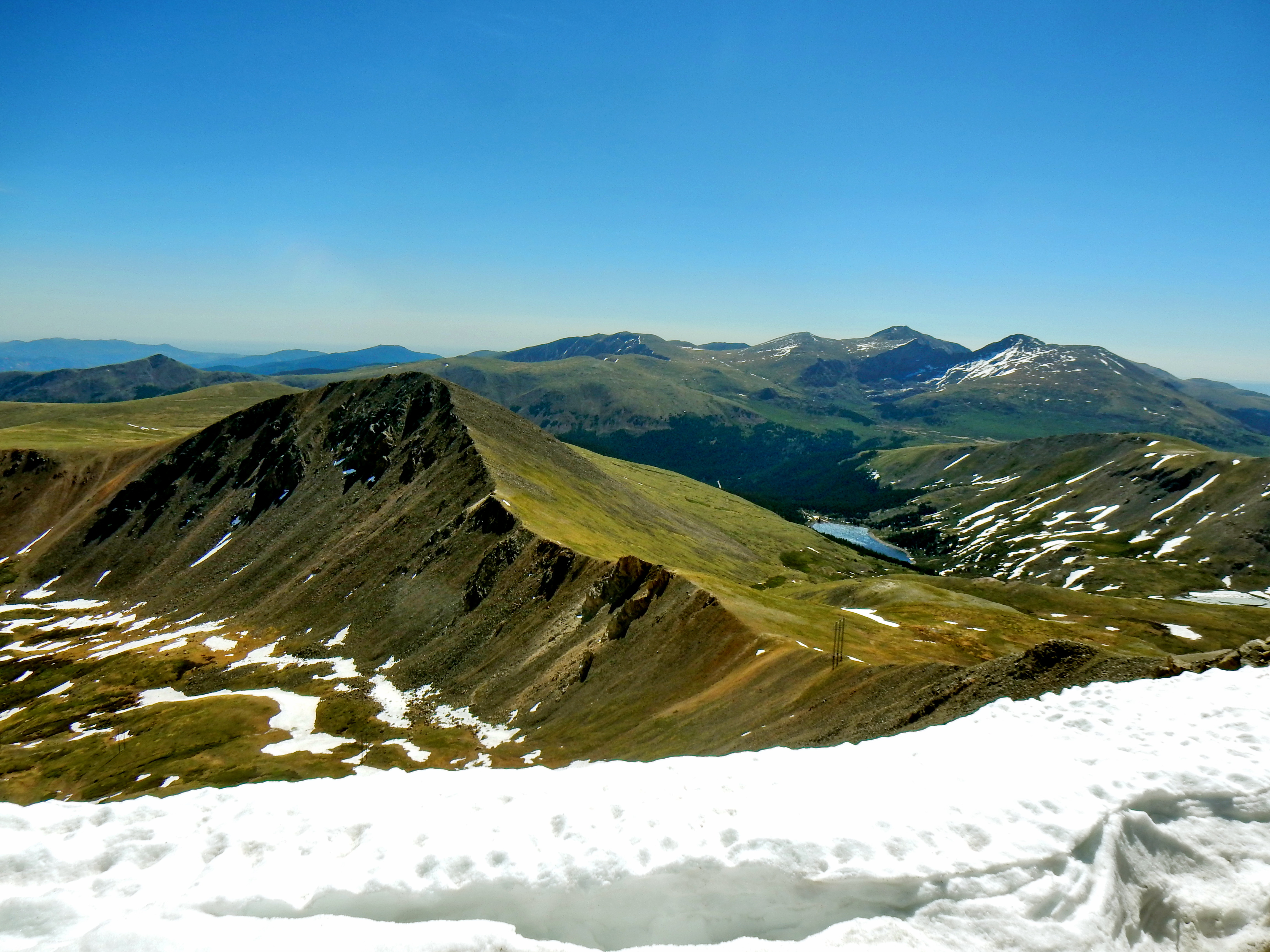
Square Top Mtn. is in the upper left. Grays and Torreys are central in the frame. Picture from mid-slope on Mt. Bierstadt.
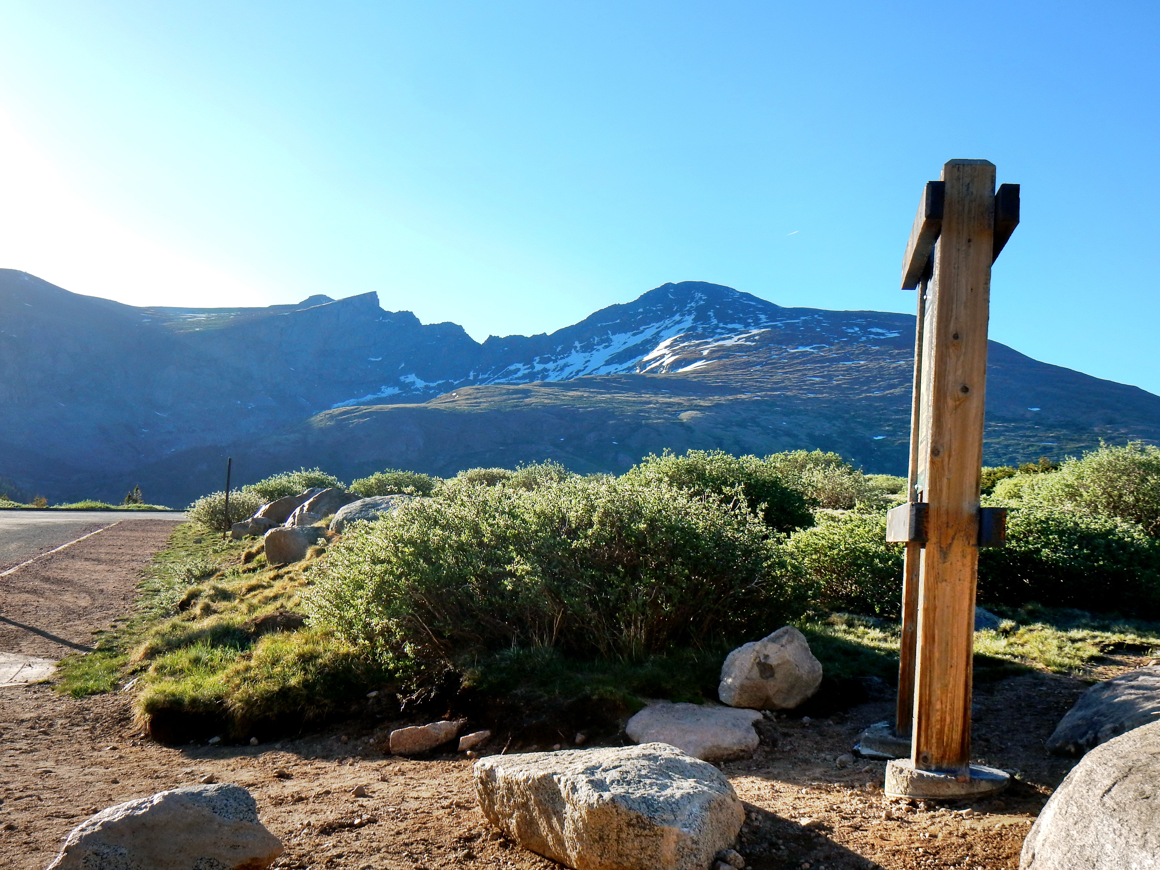
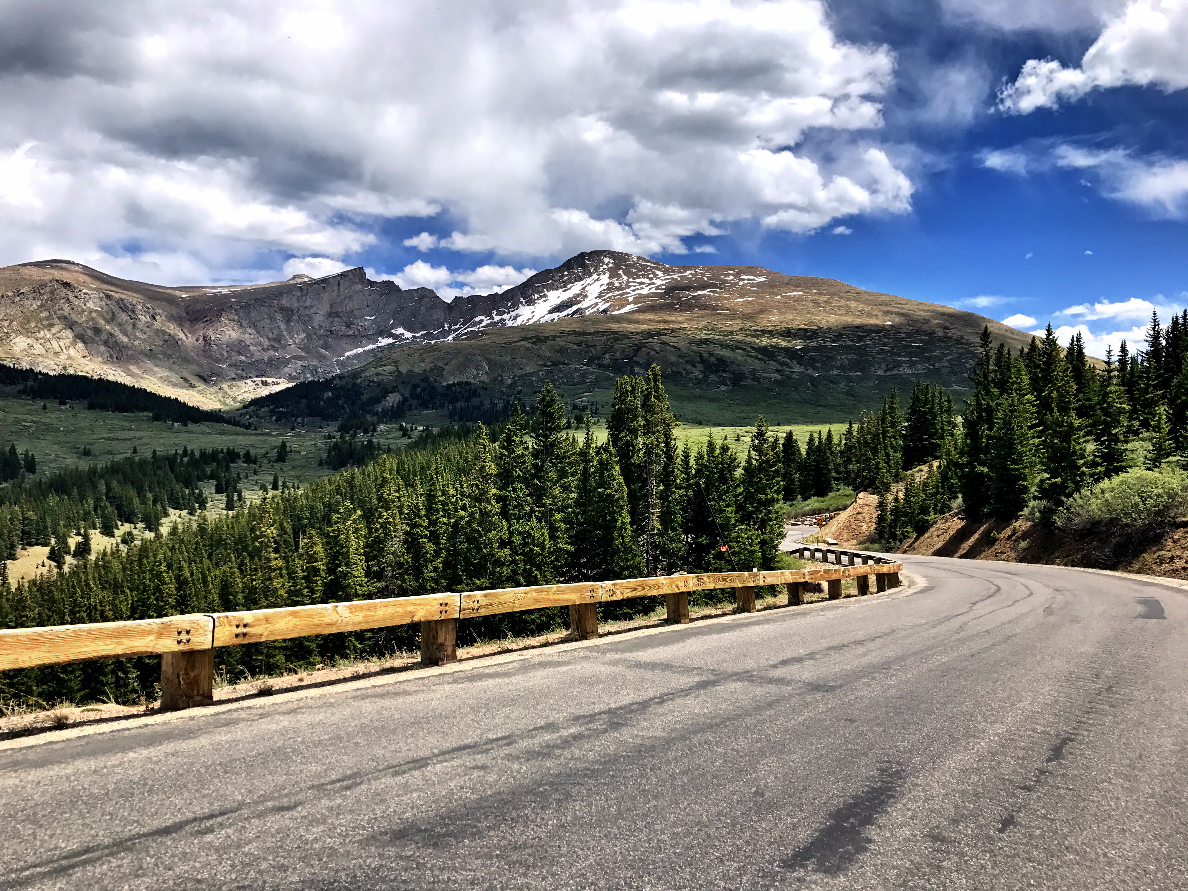
The route up to Square Top from Guanella Pass seemed easy enough and I wasn’t concerned about finding a parking spot with my early weekday start. I parked at the upper lot and was the only car in sight.
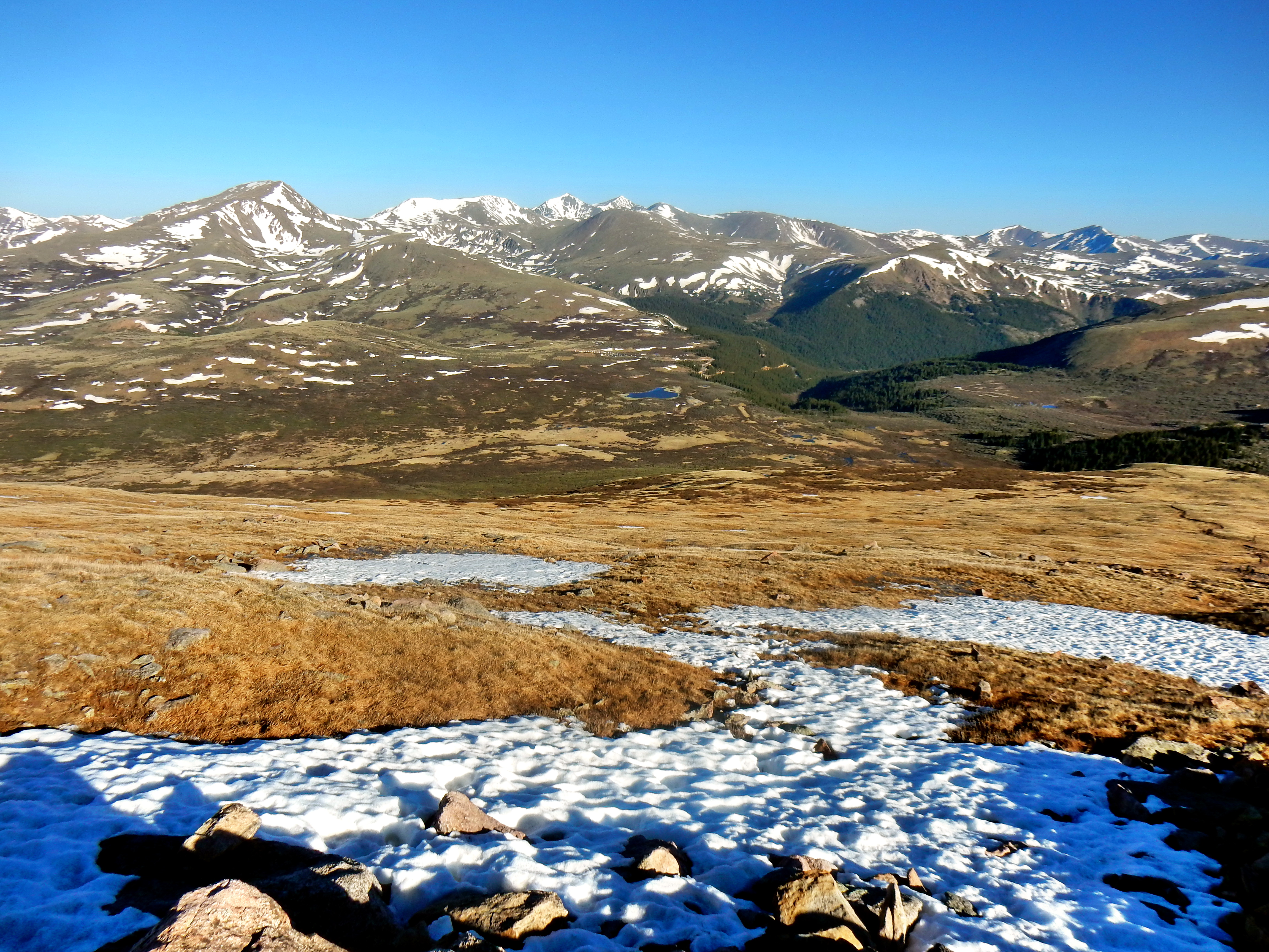
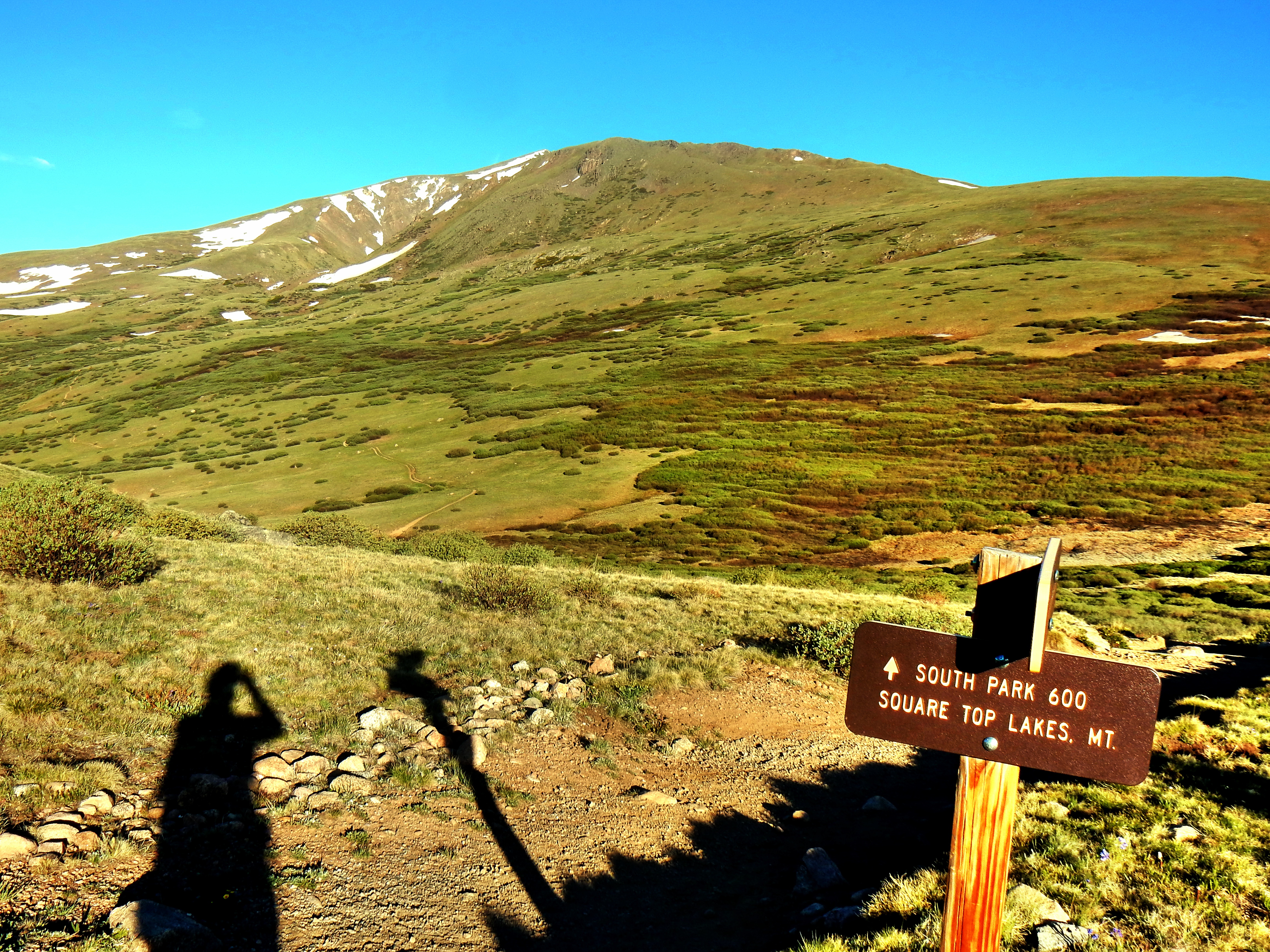
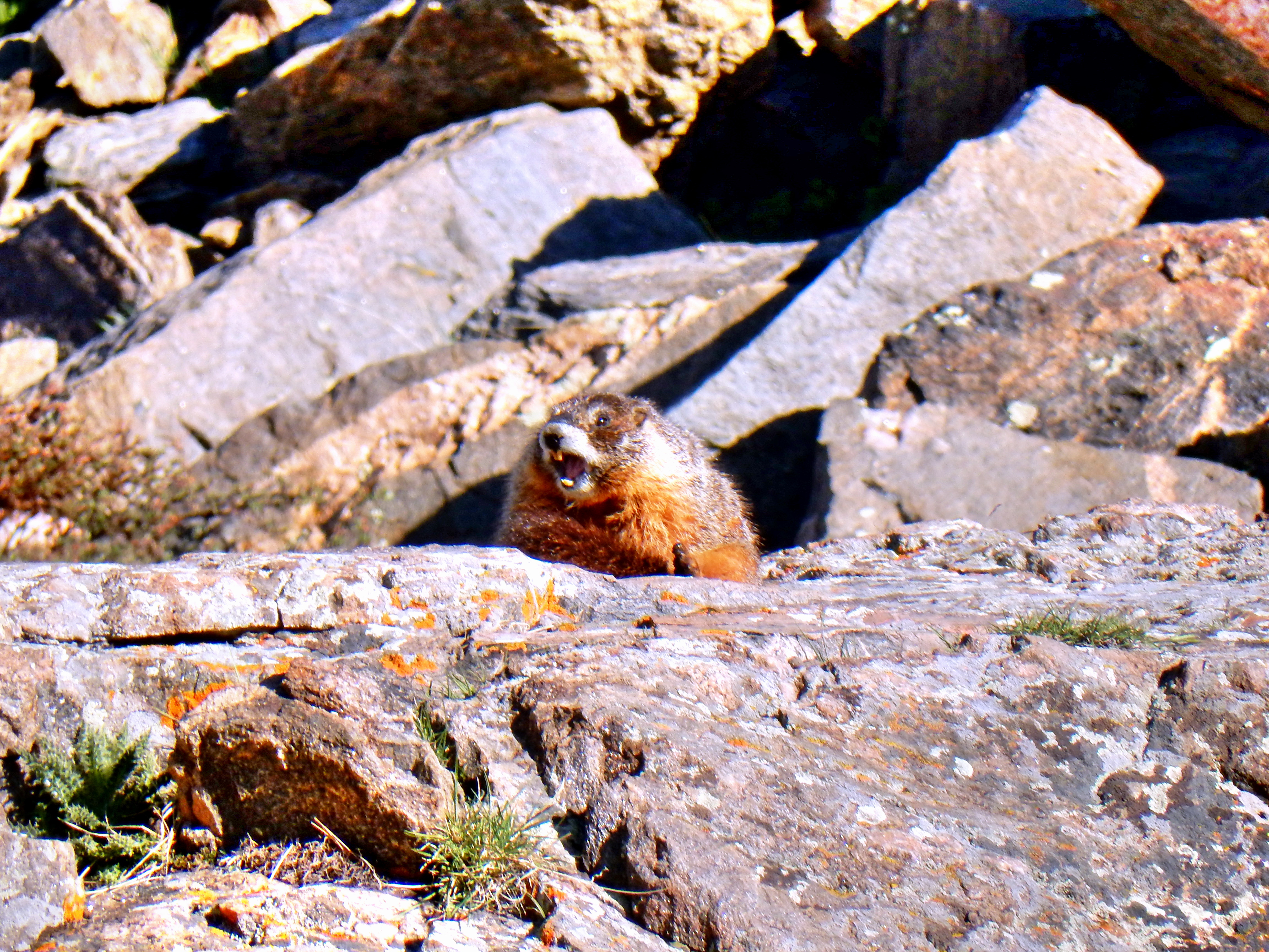
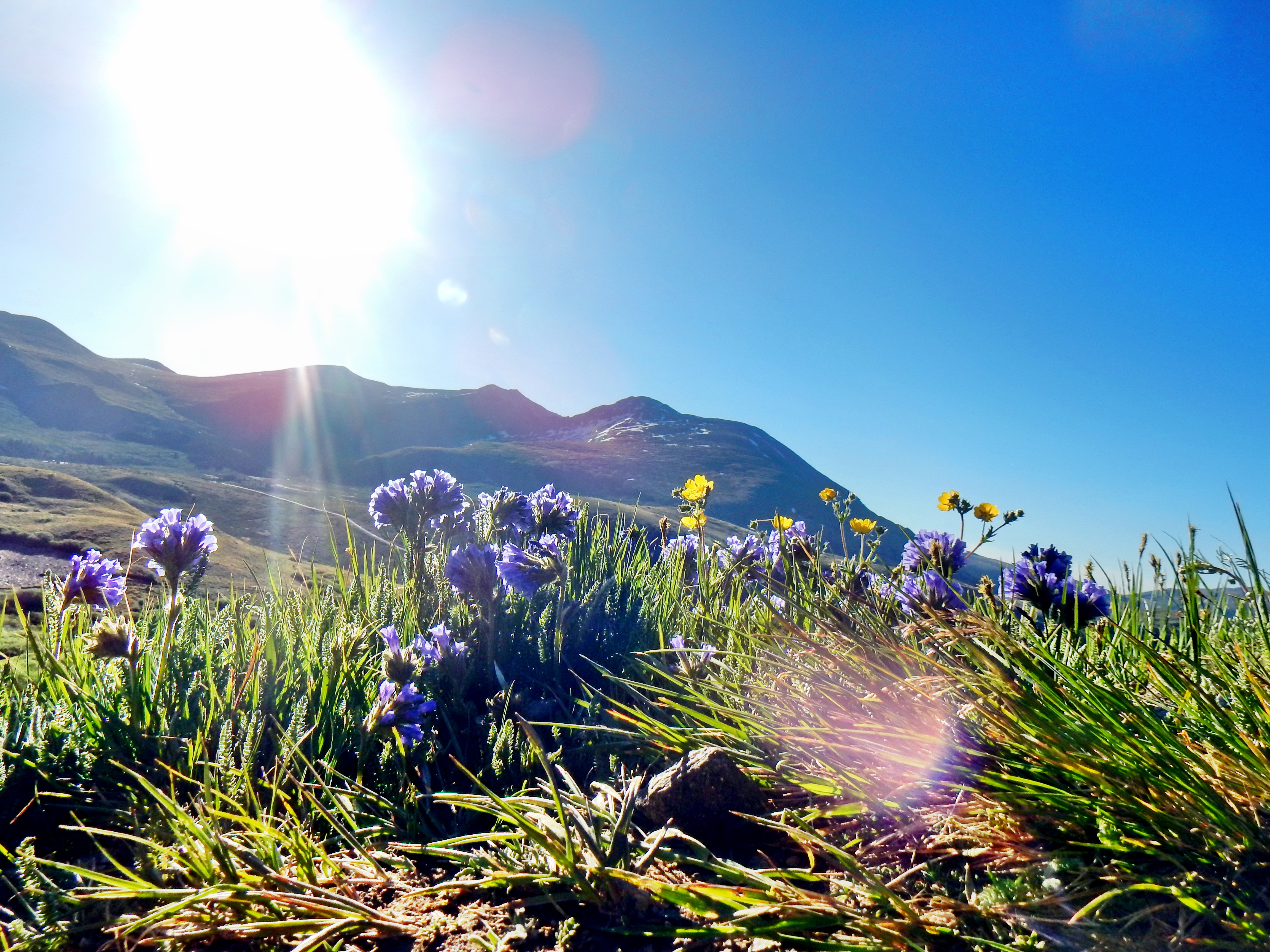
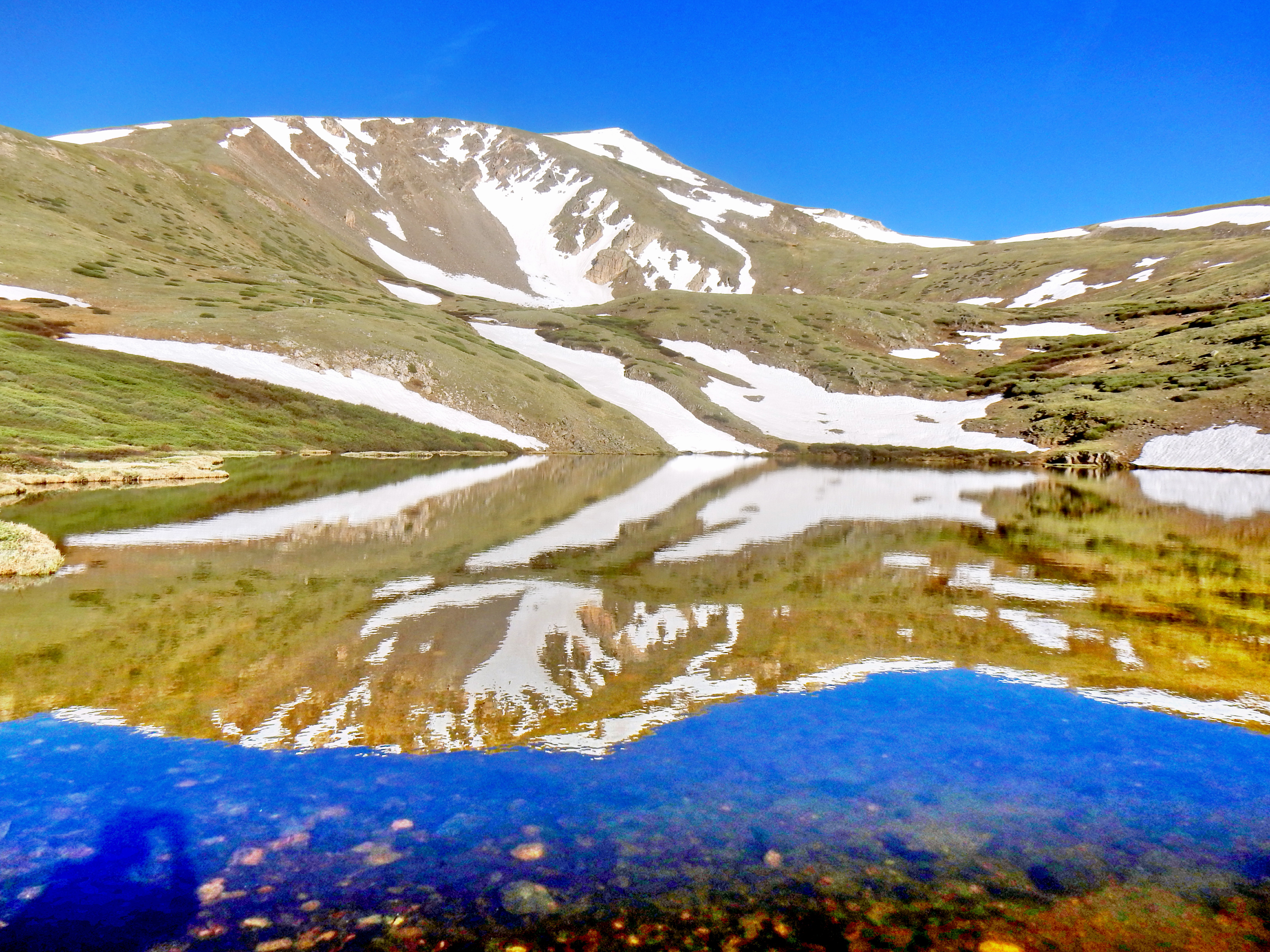
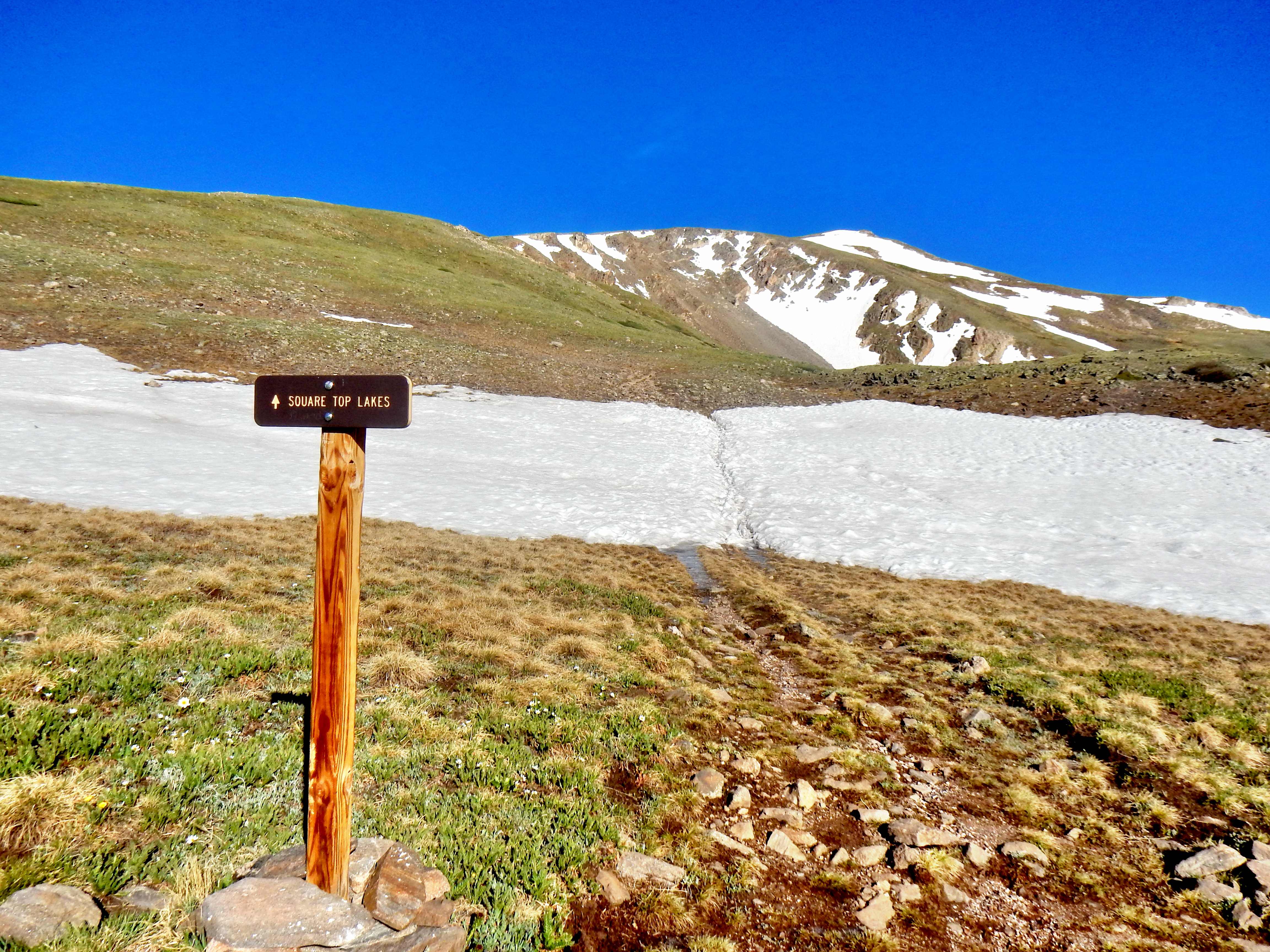
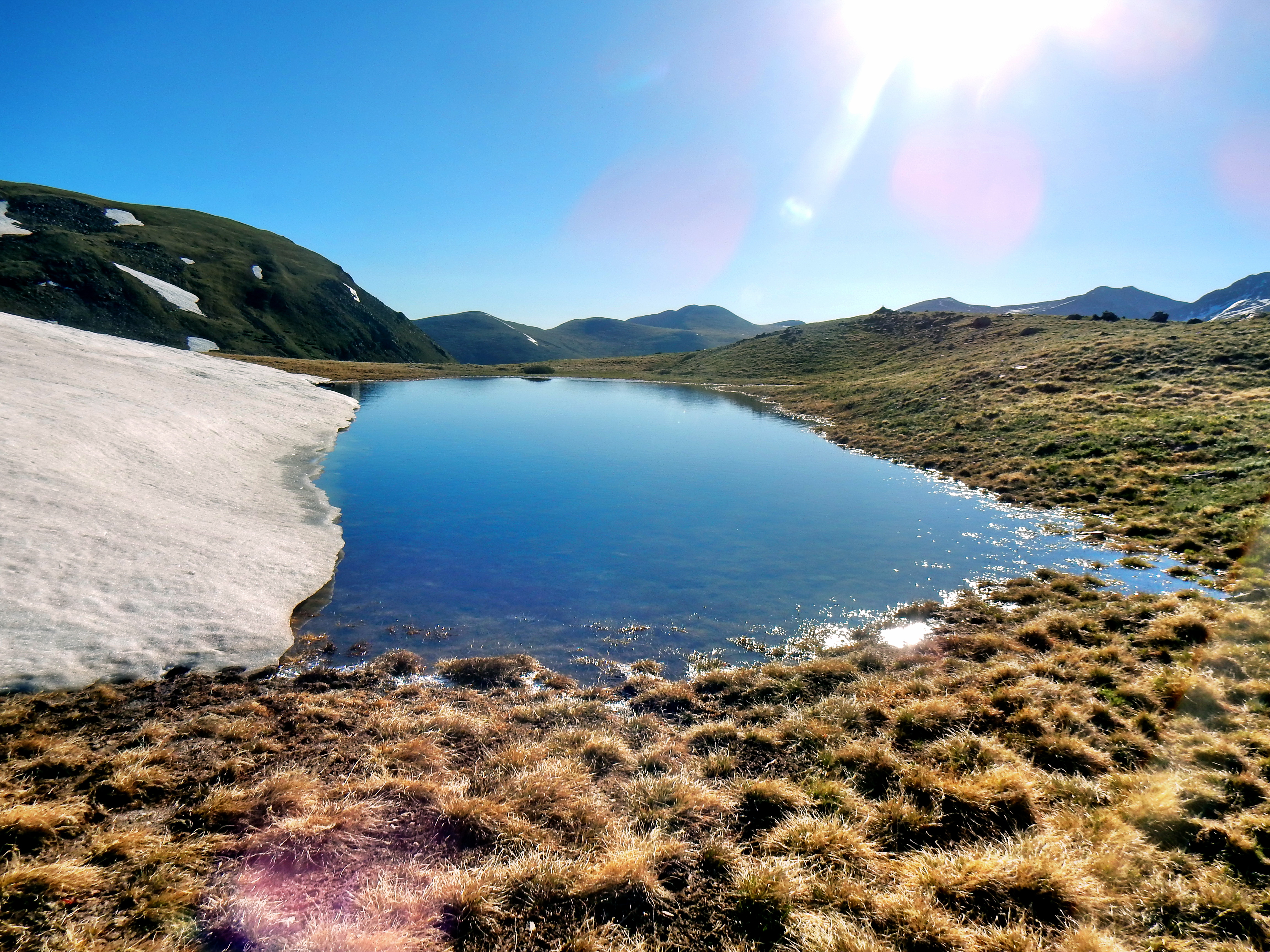
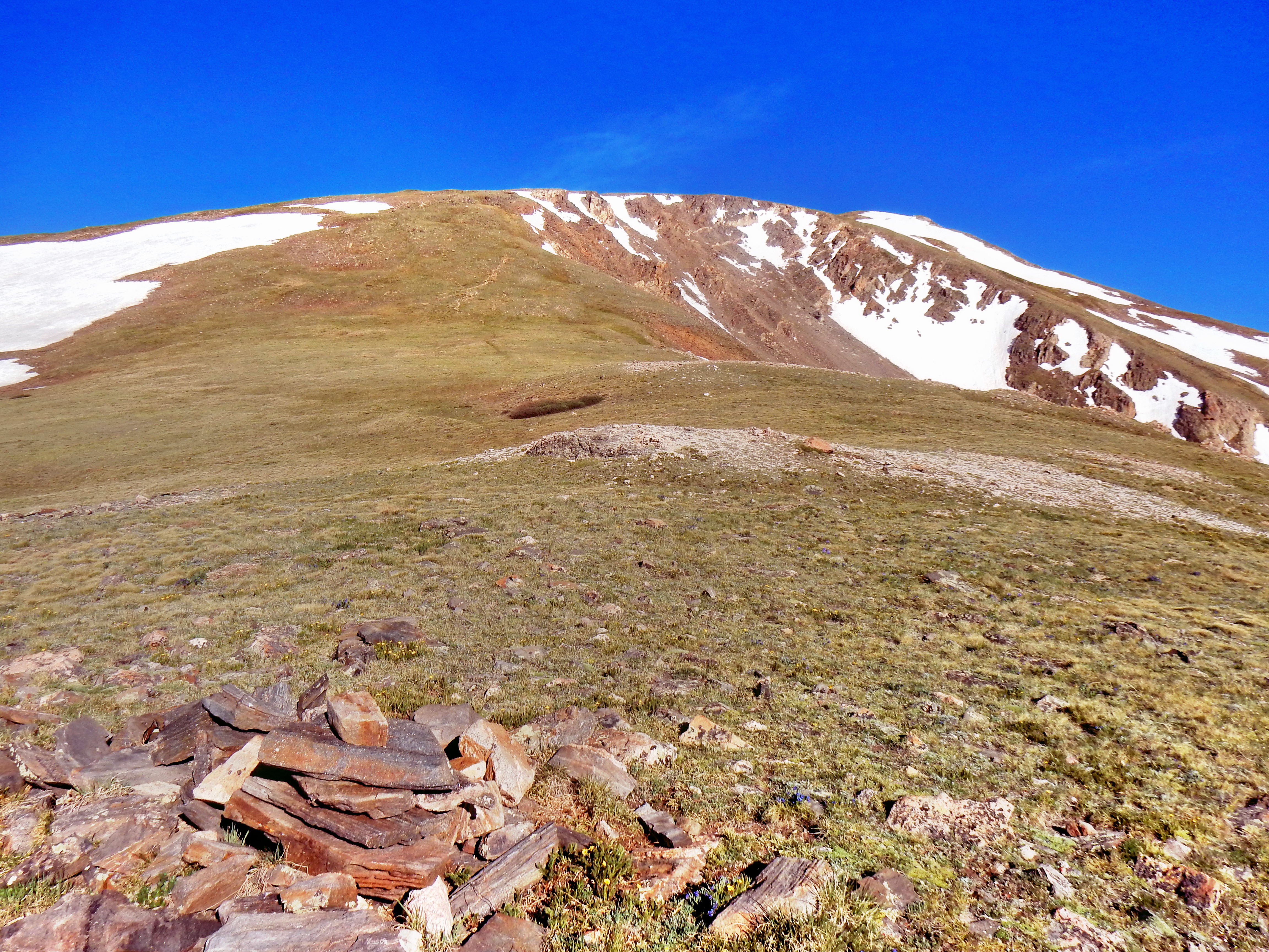
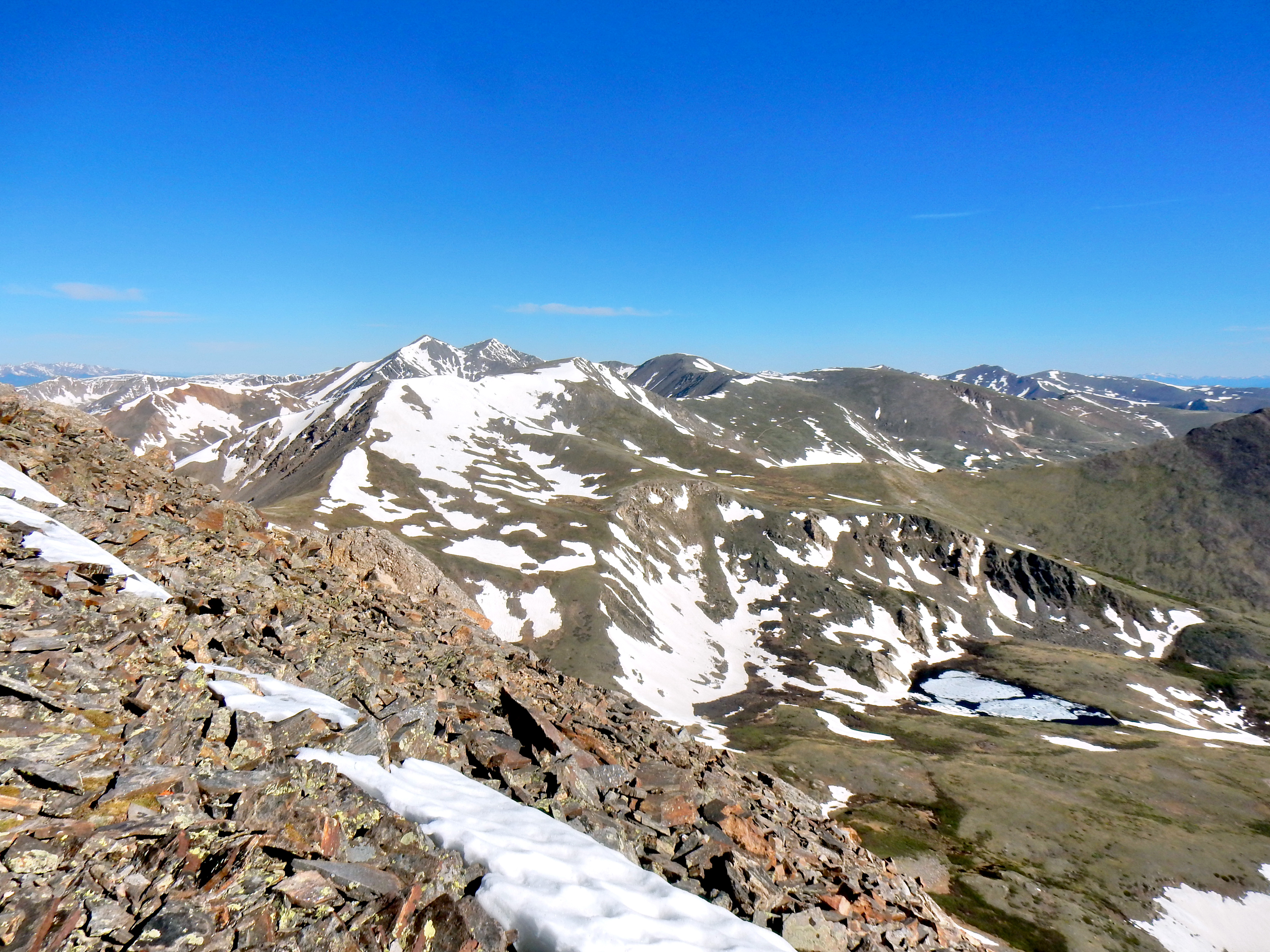
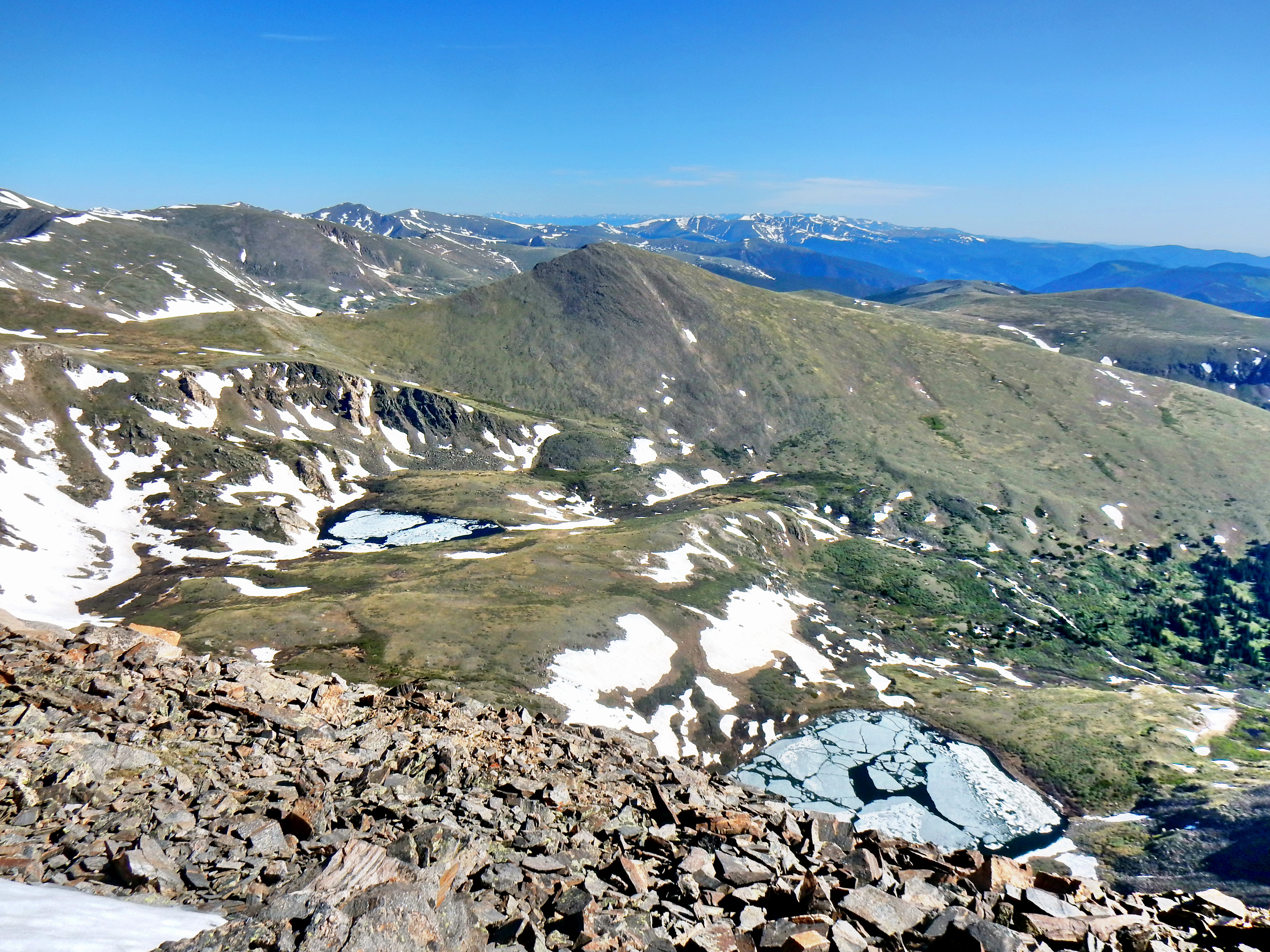
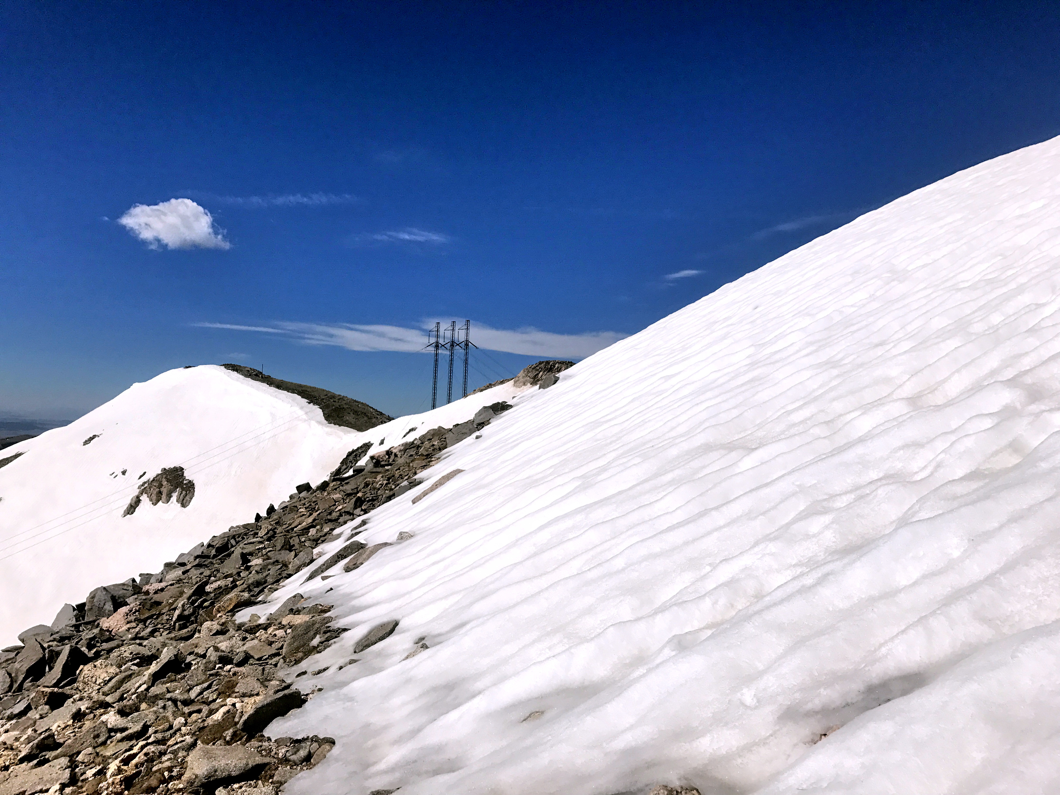
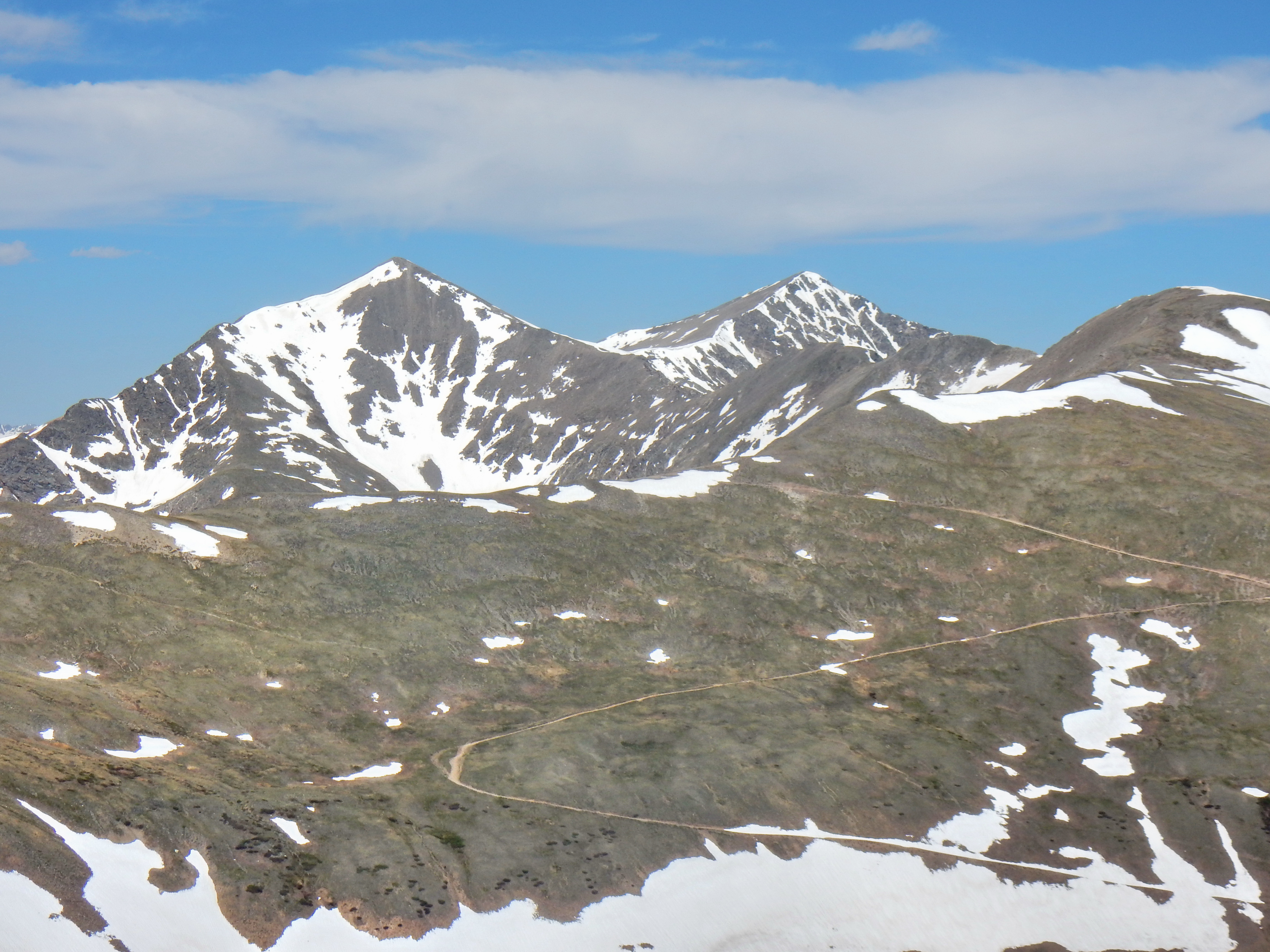
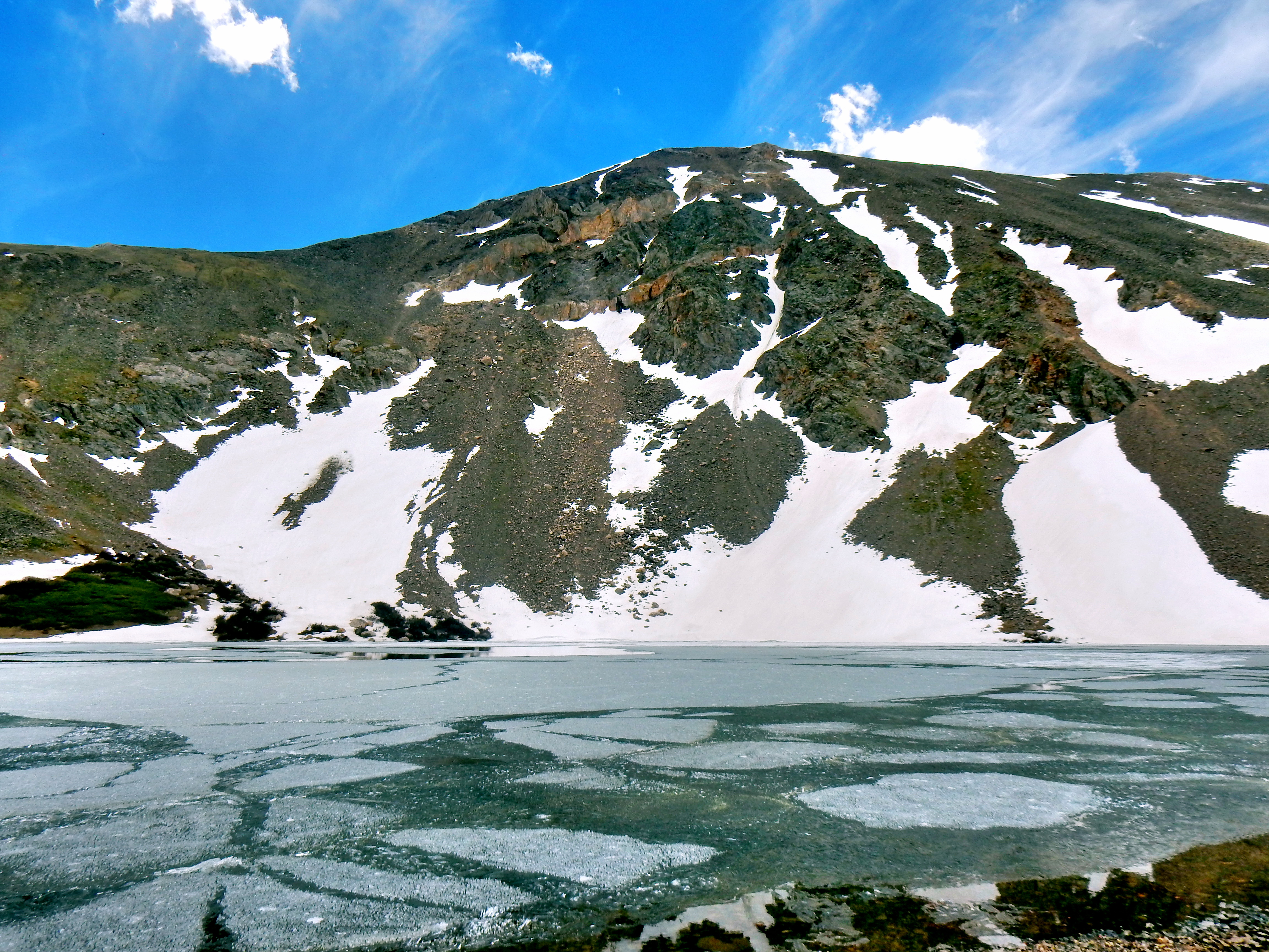
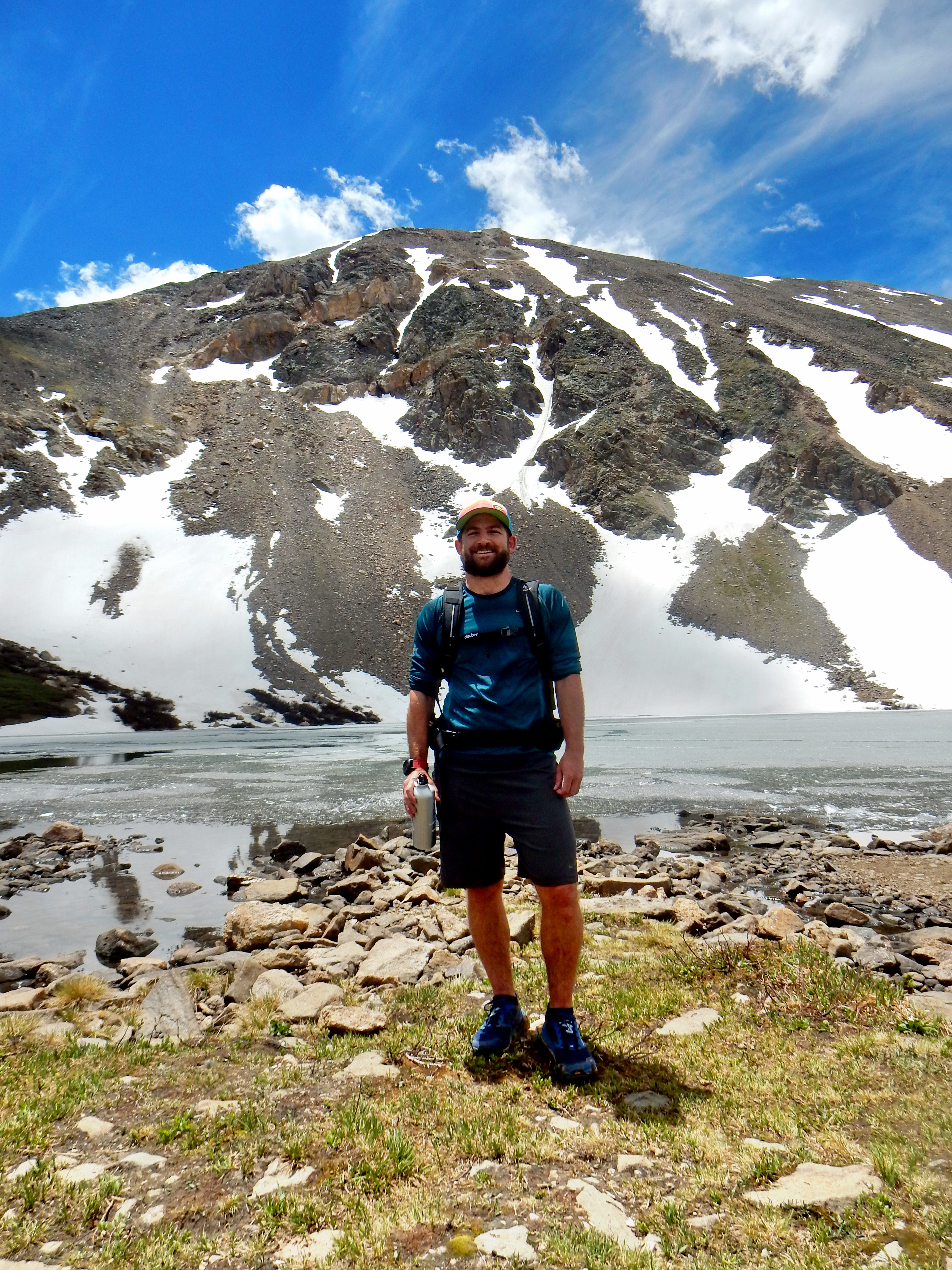
From upper lot, where you the journey to Square Top begins. Or, just cross the road from the lower lot.The trail is quite tame for the first section of the trail with abundant signage.While Mt. Bierstadt is one of the heavier trafficked 14ers, the journey to Square Top Mtn. is much less busy. This is the only other life form I saw the first several miles.Beautiful day!Some lake…not quite to Square Top Lakes.The trail splits with one path going directly to Square Top Lakes and the other continuing toward the ridge. I’m sure either would work, but head for the ridge and not the lake for the most direct, easiest summit.Not sure if this is usually a lake or just an area of snowmelt.The trail become a little more faint and is periodically marked by cairns shortly after you peal off of the South Park 600 trail. The route up is obviously though, so just aim up!A look at Square Top Lakes with Mt. Evans, Mt. Bierstadt, and associates across the way.The only other hikers I saw until the afternoon when I joined the Silver Dollar Lake trail.Great views as you work your way up higher!Grays and Torreys behind Argentine Peak from the ridge before the true summit.Mt. Wilcox in the center. Upper lake is Murray Lake, lower lake is Silver Dollar Lake.On top of the Square. Just a bit more on the ridge to the true summit.
Summit #1: Square Top Mtn. done! Here is a video from the summit, followed by some detail pictures. Class 1 all the way from Guanella Pass to the summit.
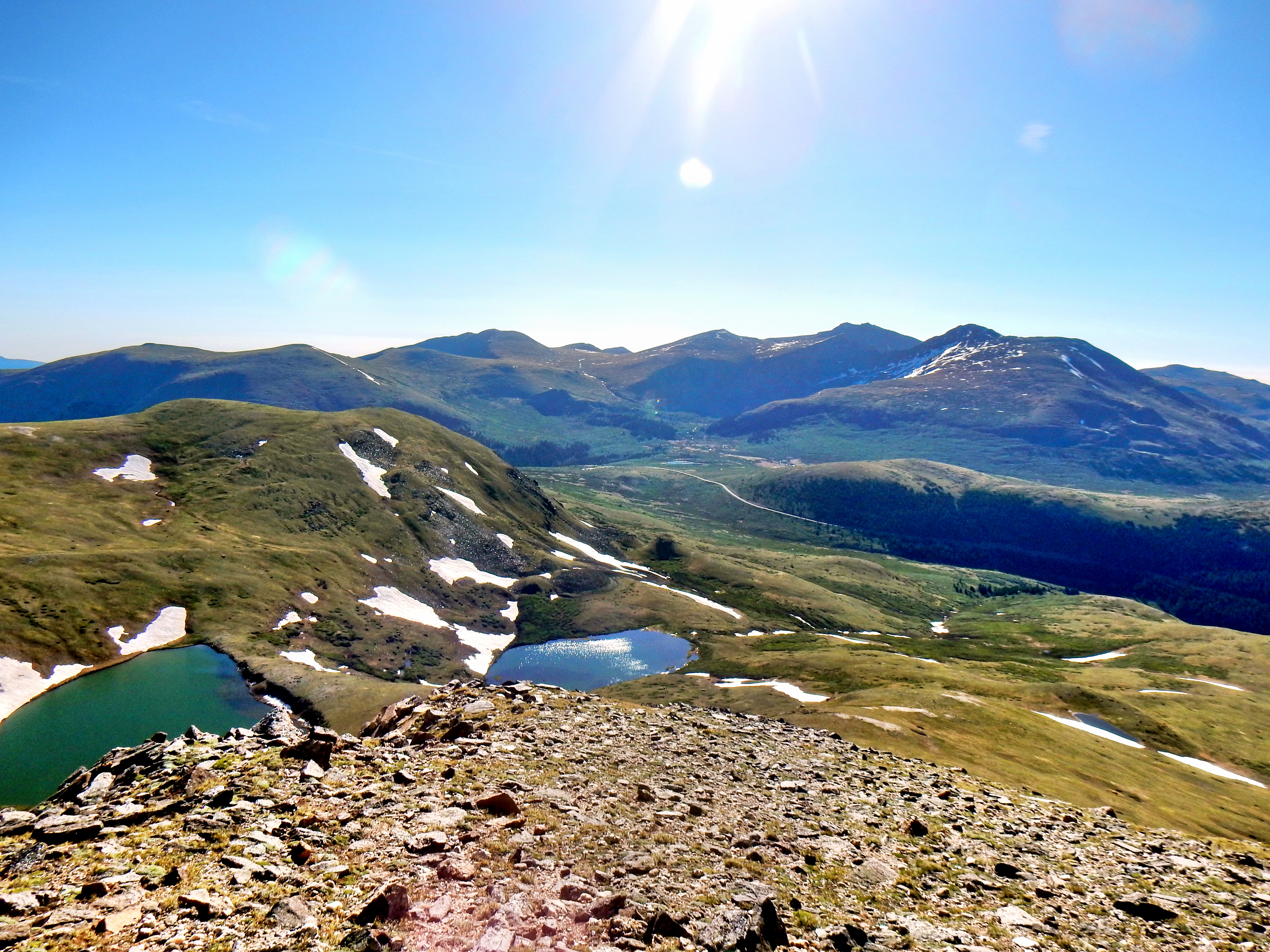
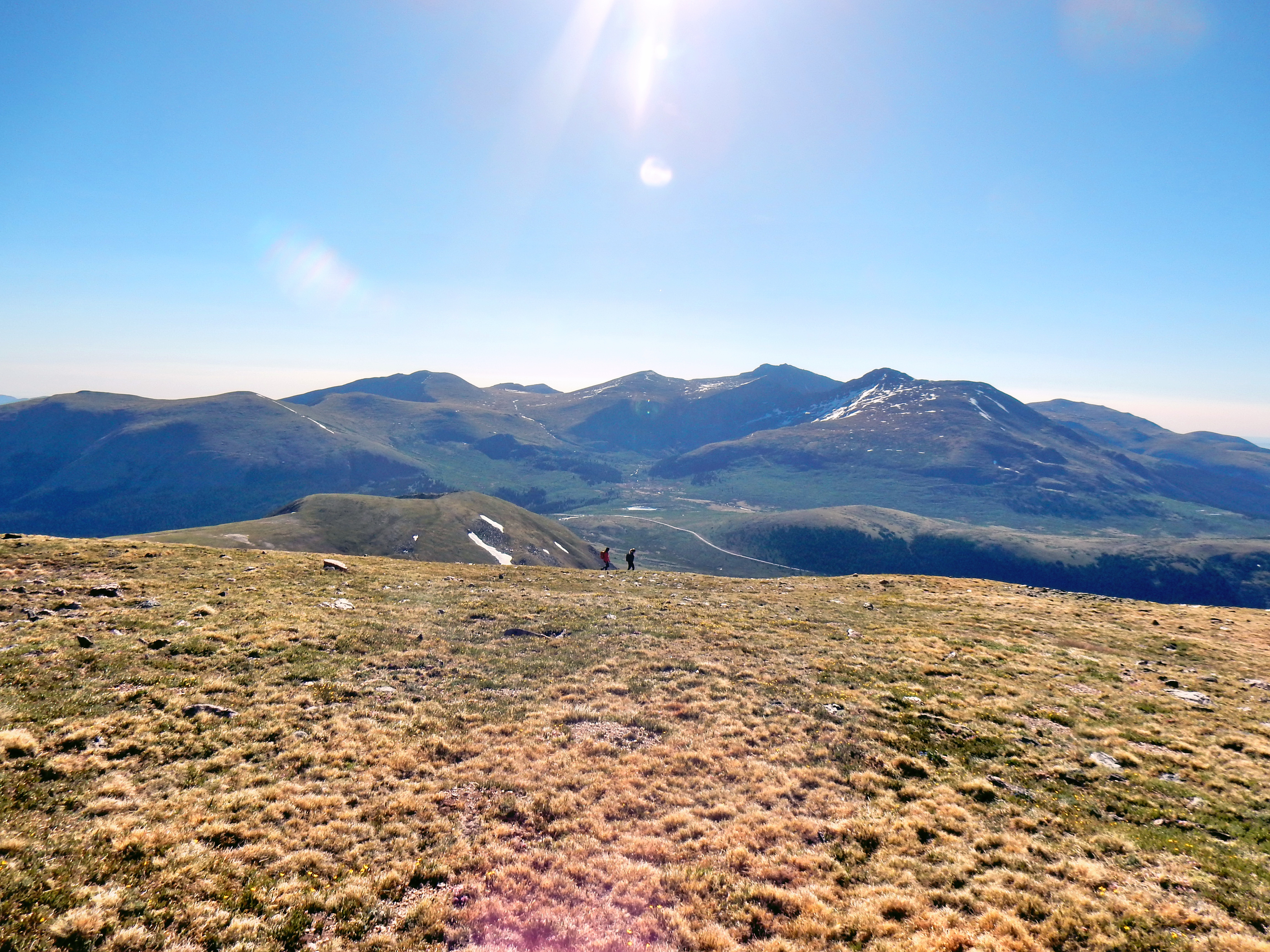
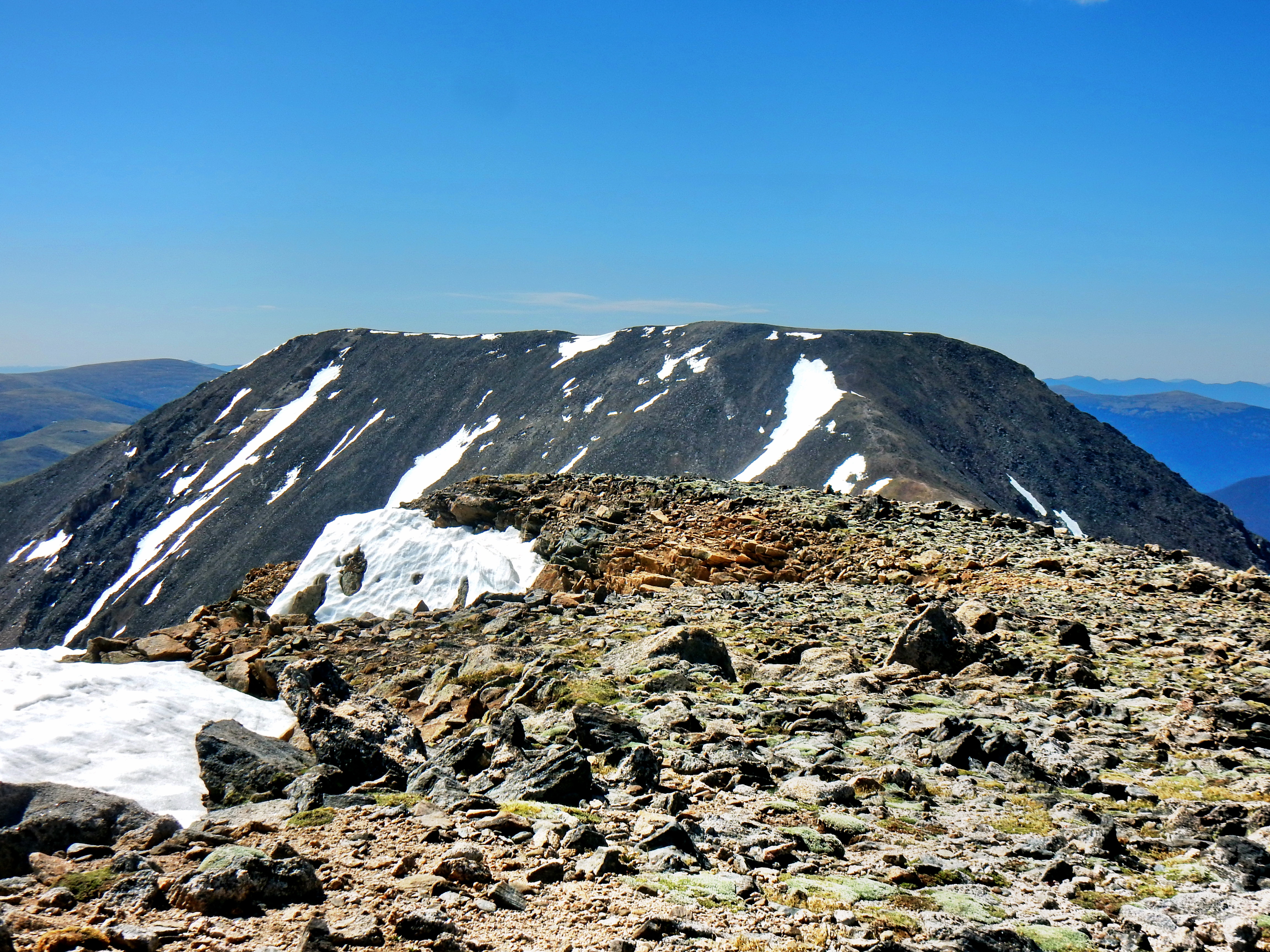
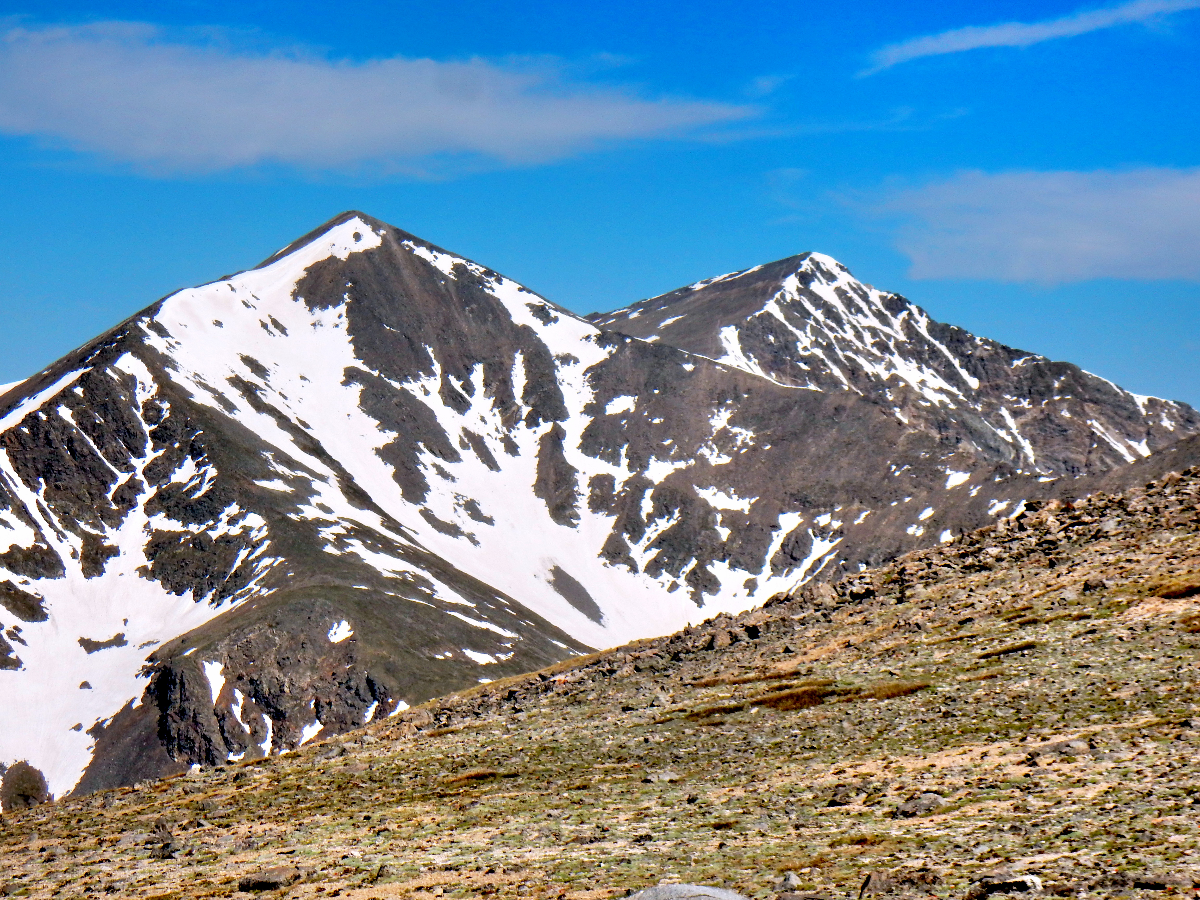
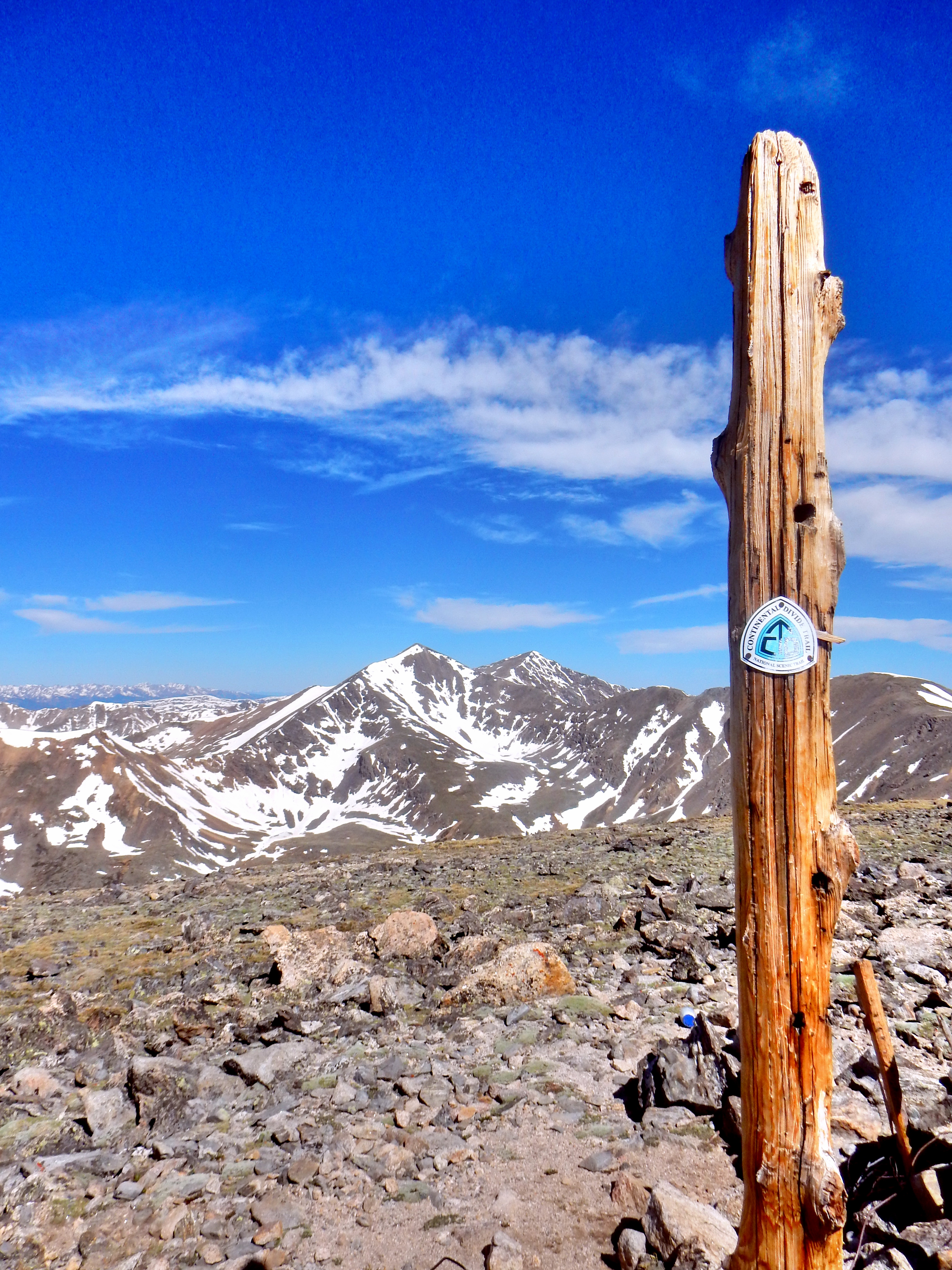
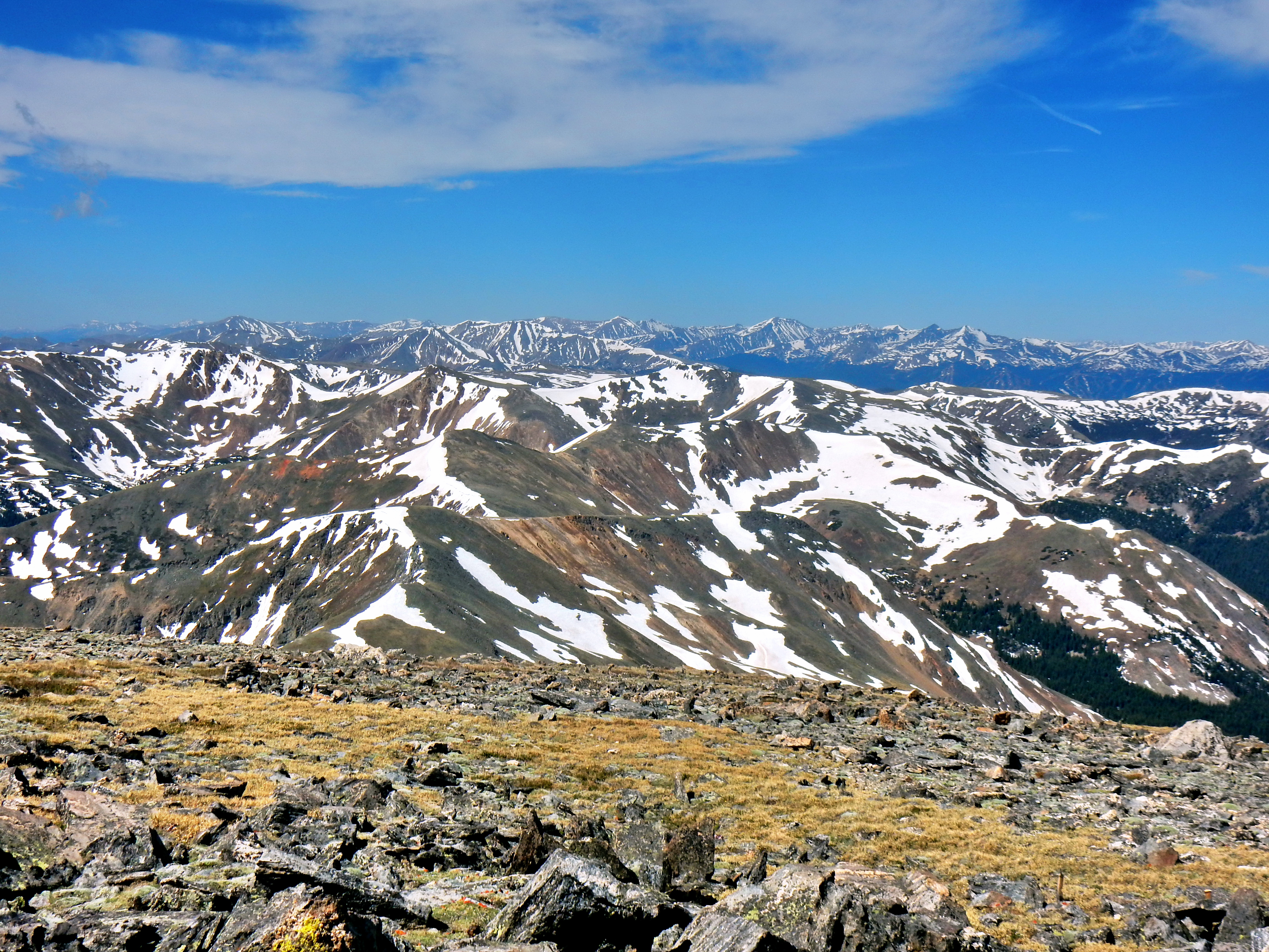
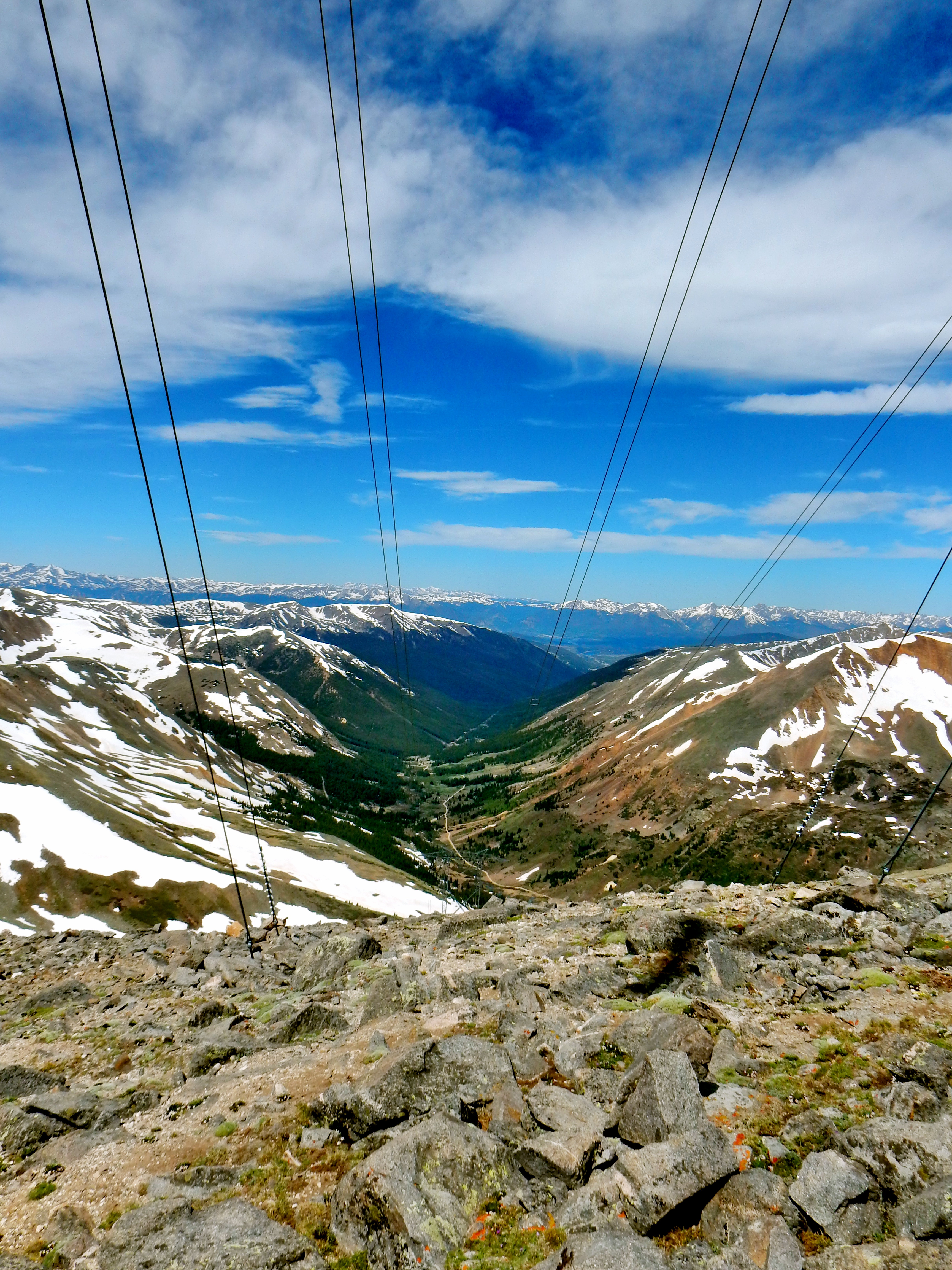
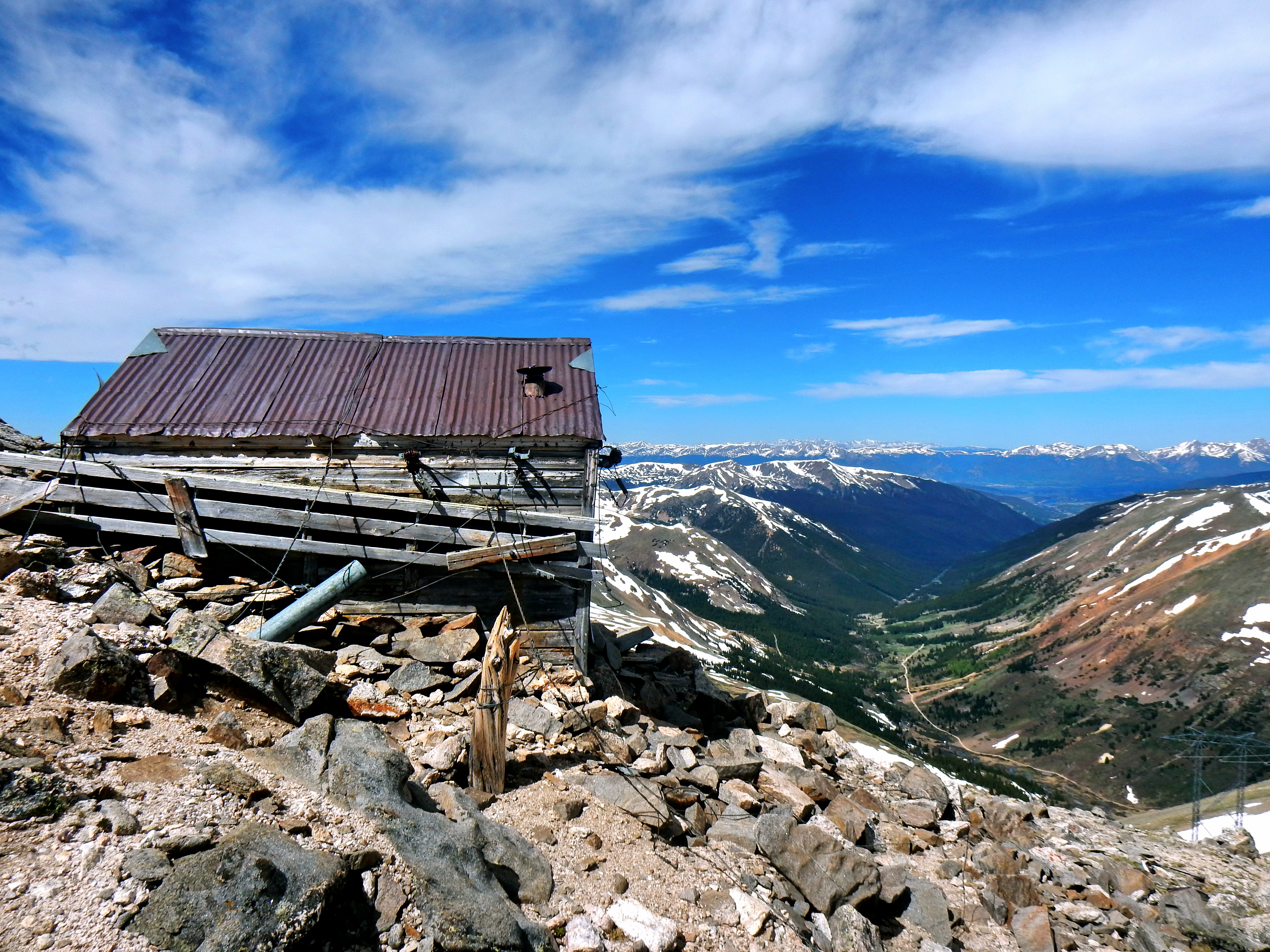
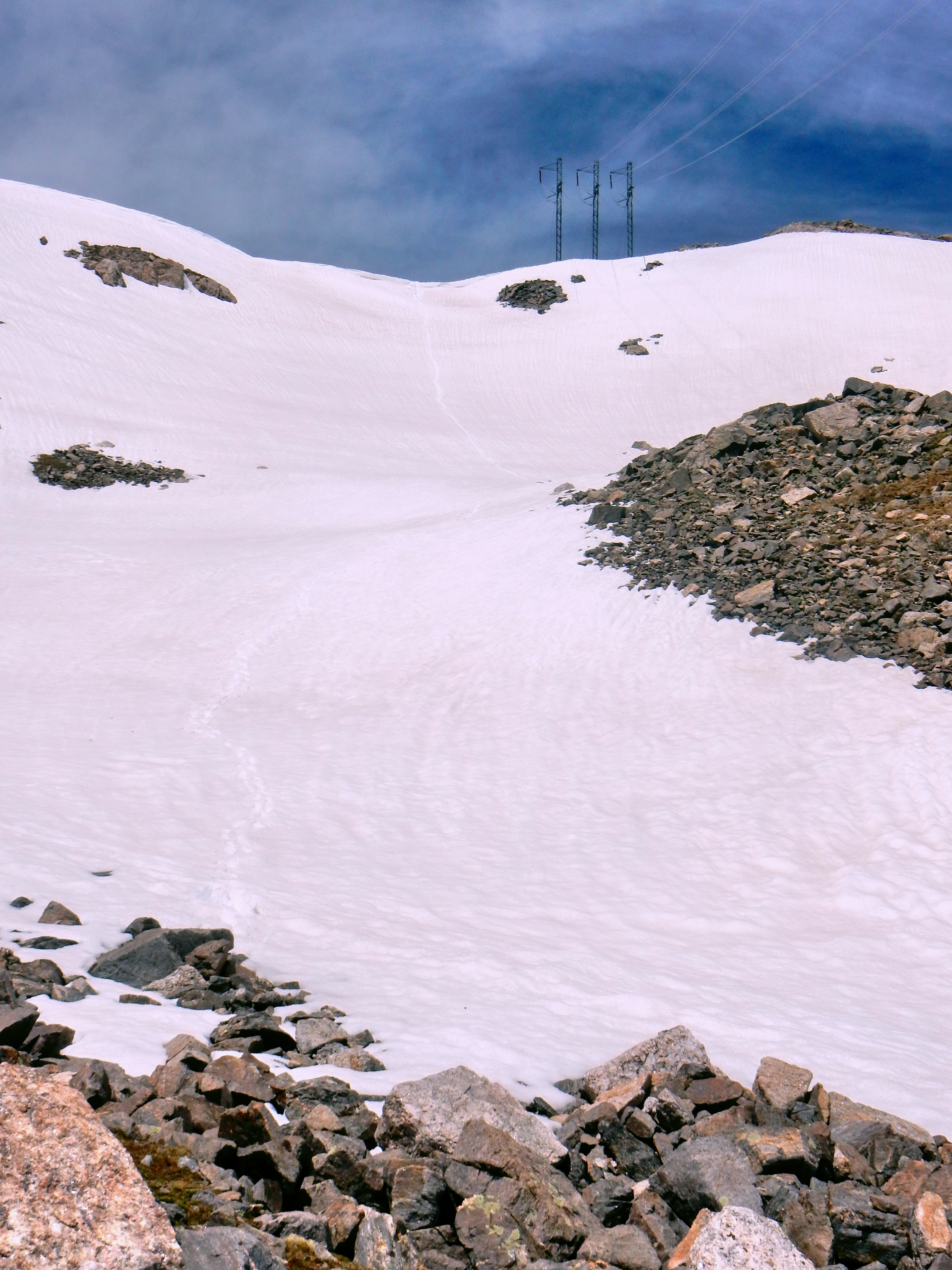
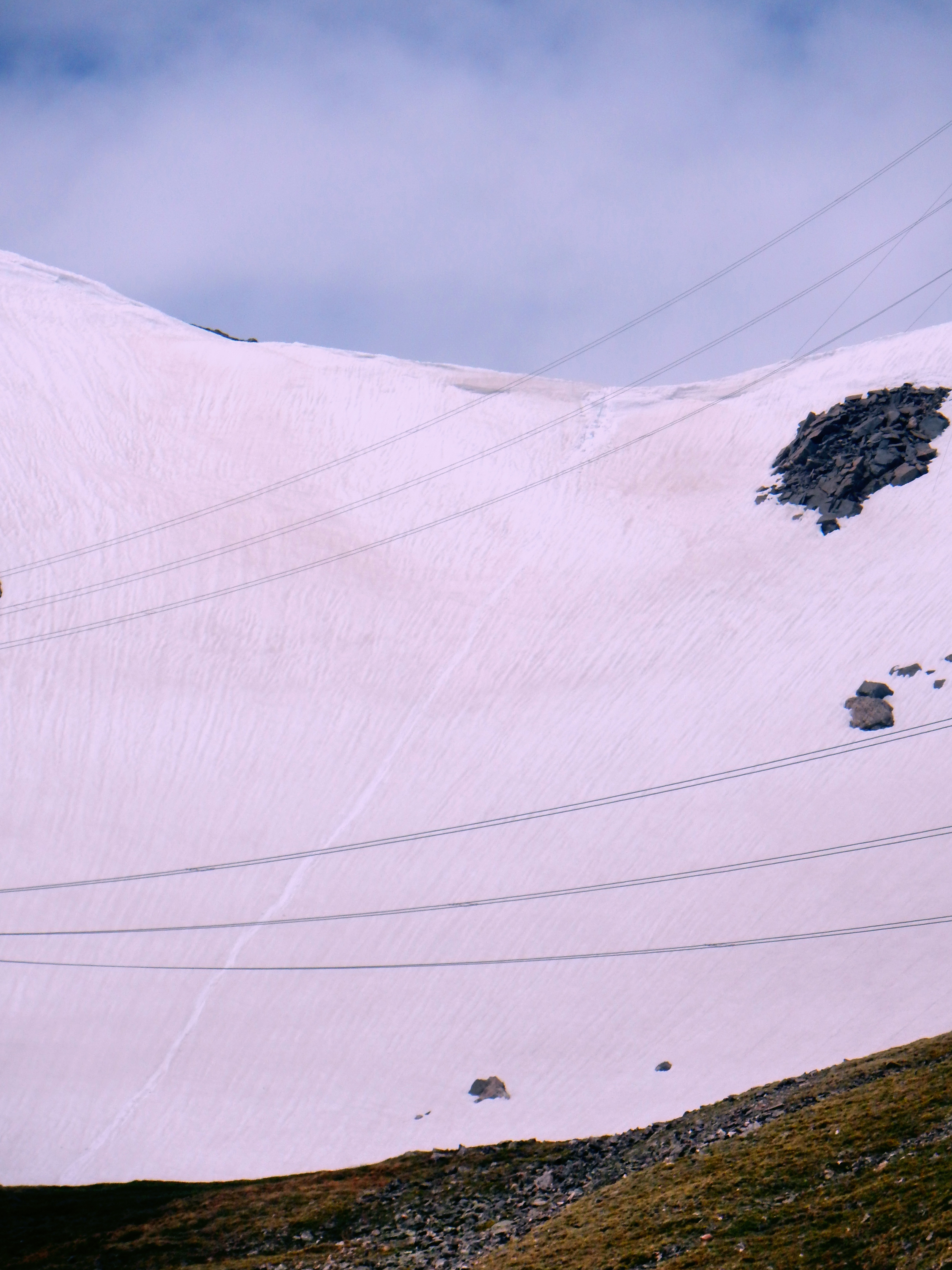
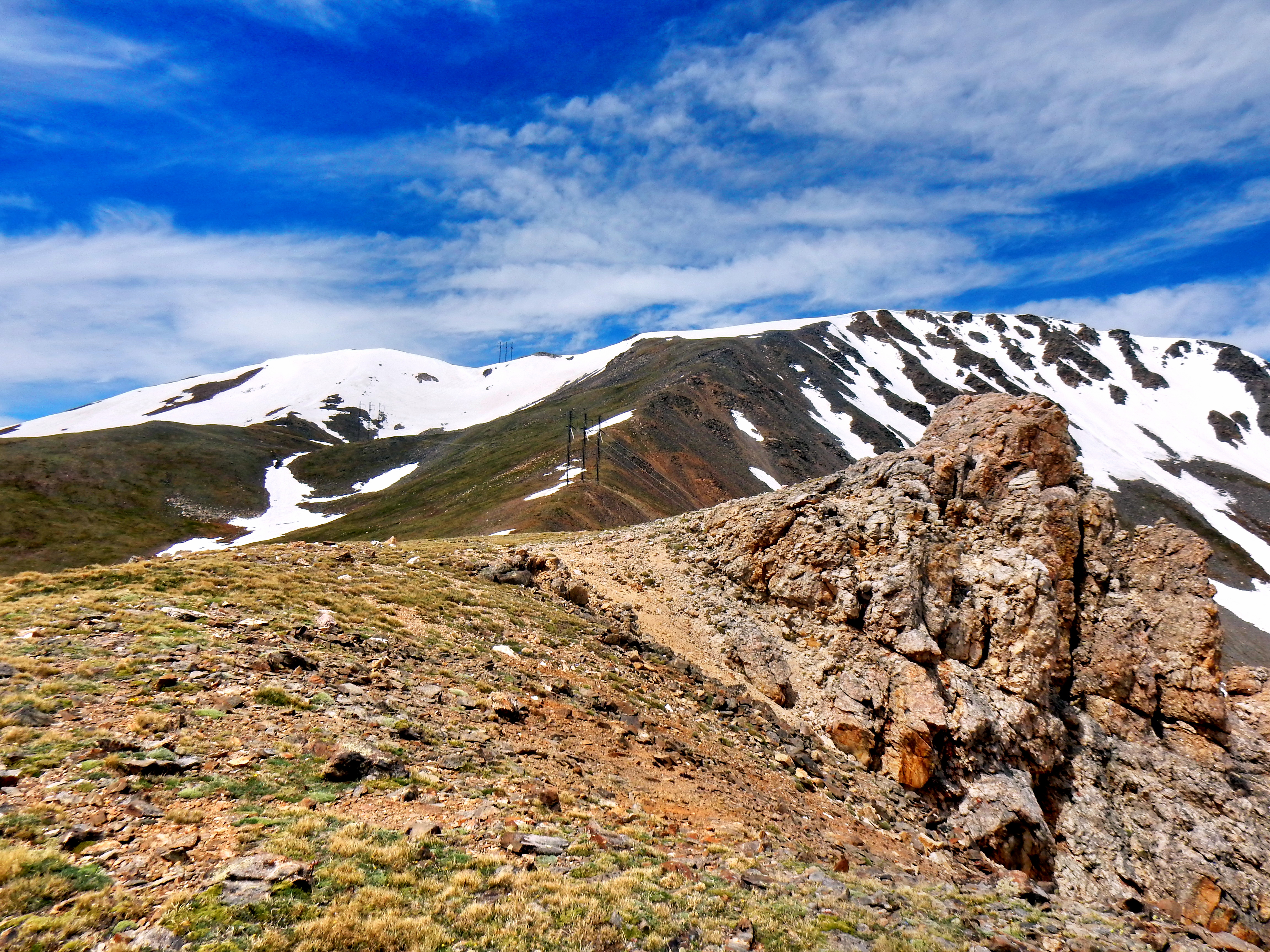
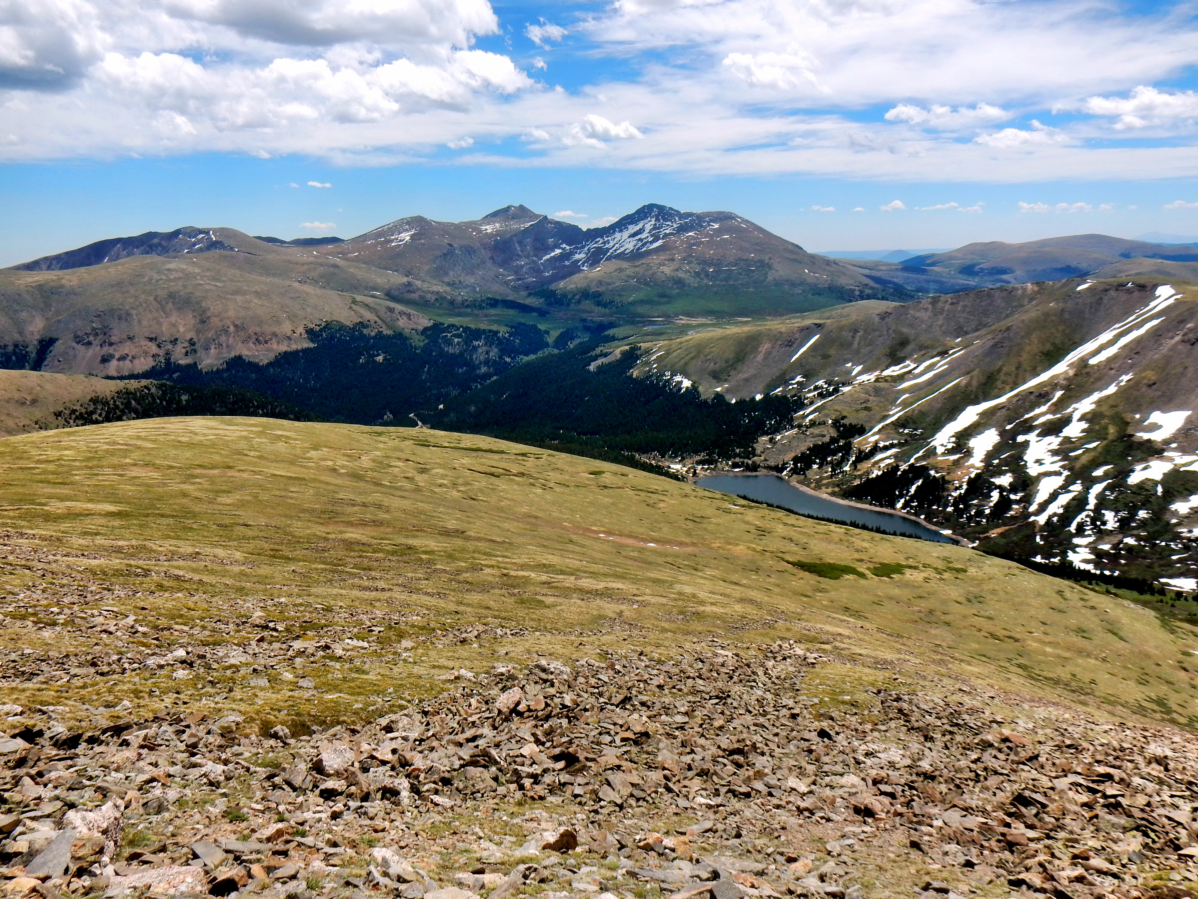
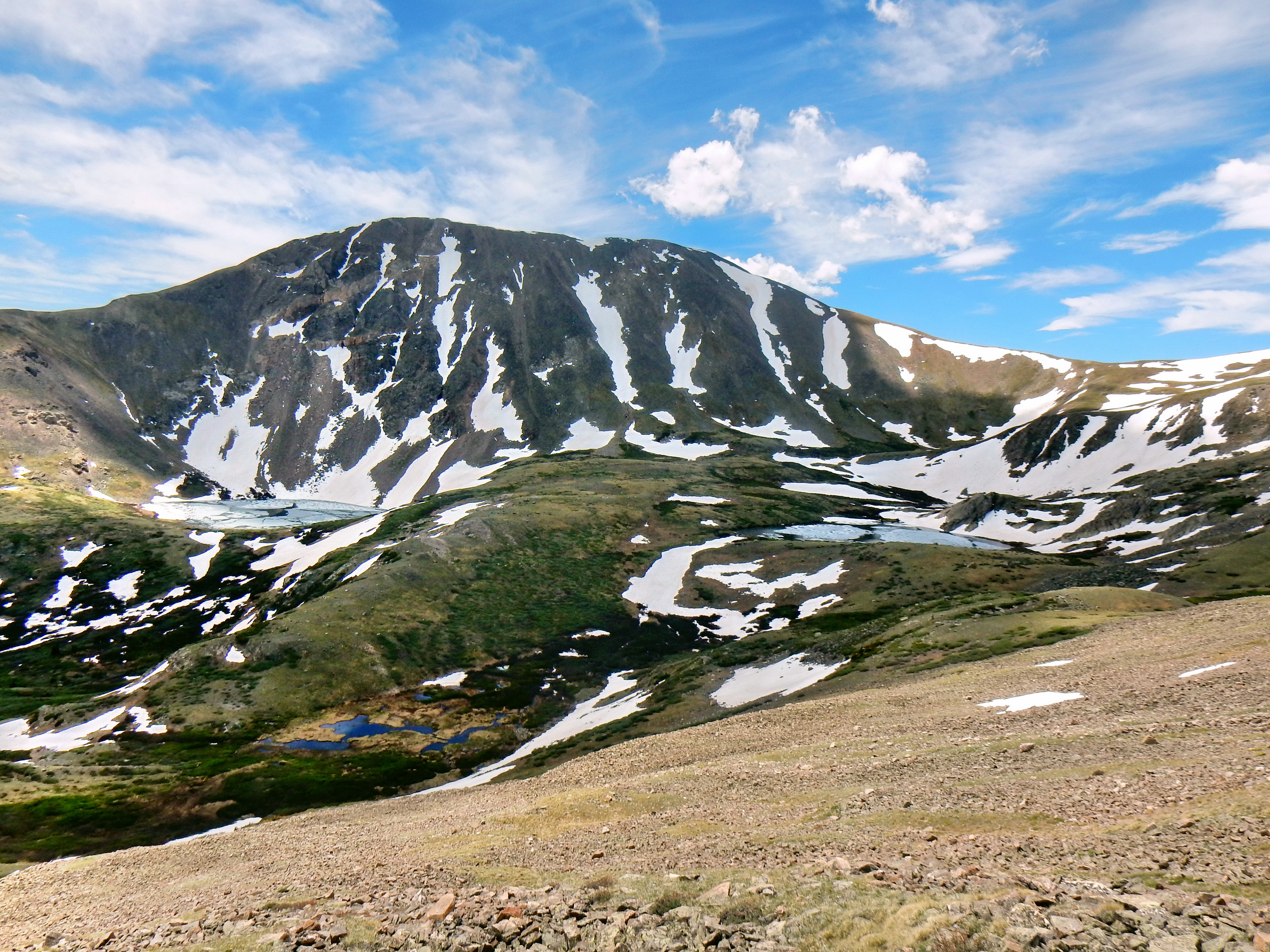
Here is a look at Grays and Torreys back-dropping target #2: Argentine Peak. Very little snow for early June!Target #3: Mt. Wilcox from Summit #1: Square Top Mtn.Another shot of Grays and Torreys behind Argentine Peak.Zooming to look at Buffalo Mtn. and Silverthorne/DillonSquare Top Summit PanoA little rocky down the ridge to Argentine, but smooth sailing overall. I tried to take note of where the snow was located on the way down and observed that the true summit was in the back. It wasn’t obviously where to head up later, so maybe there is some merit to the whole paying attention strategy!The ridge to Mt. Wilcox adds some nice character to the loop as well. It probably looks more difficult than it is, but is well worth including if you aren’t too tired.Looking at Argentine Peak from the saddle. Given the snow levels my strategy was to cross under the power lines and then head up. The true summit is on the other side of the power lines, so this turned out to be a good decision. Without snow, it is likely about the same.A mid-journey overview of the loop: Left to right: Argentine Peak, Mt. Wilcox, and Square Top Mtn.A square is a rectangle, a rectangle is not a square. Wait what?Looking across at Evans and BierstadtArgentine-Wilcox PanoMelting fast up there!After crossing under the powerlines, there was a steep final section of snow. It was fairly easy to kick in steps though.Summit #2: Argentine Peak done!Wonder why they call it Square Top?Argentine Peak is only about 2.5 miles away from Grays and Torreys.The Continental Divide Trail goes right over the summit of Argentine.A look over at target #3: Mt. Wilcox. The lake in view is Naylor Lake, which is partially on private property and needs to be avoided on the way down.Heading across the summit of Argentine Peak toward some old mining equipment and the powerlines. Nice view!The powerlines go up to around 13,000 ft., which I thought was pretty impressive!Not sure what this shack is all about, but in reasonably good shape.Pano of the area…true summit is on the other side of the powerlines.A few more summit shotsA few more summit shotsOn the way over to Mt. Wilcox, I decided to go for some light glissading! The cornice was not huge, but I wandered around for a minute to find the easiest spot. Warning: Always mind the cornice!
Here is a ridiculous video of me um, glissading down.
Well, that was a bit embarrassing! Remember when I said “Always mind the cornice!” I sort of forgot about that and the snow collapsed on my legs as I didn’t launch off the cornice enough. My shoe and leg get stuck, so I had to spin around and dig into the snow to stop my momentum from heading down the hill. Eventually, I decided to take off my shoe and dig it out since I was positioned at such a strange angle. If the conditions were just slightly different, I may have been sliding down the hill with only one shoe. The video may not make it look to steep, but I’m glad I could quickly laugh about my stupidity.
A look at my tracks on the way down! Actually pretty fun once I got my shoe back on!You can see I didn’t make it very far before I lost my shoe at the top, haha.Looking back at Argentine PeakThe ridge up to Mt. Wilcox with Mt. Bierstadt on the right.
Here is a quick video from the Argentine Peak and Mt. Wilcox summits.
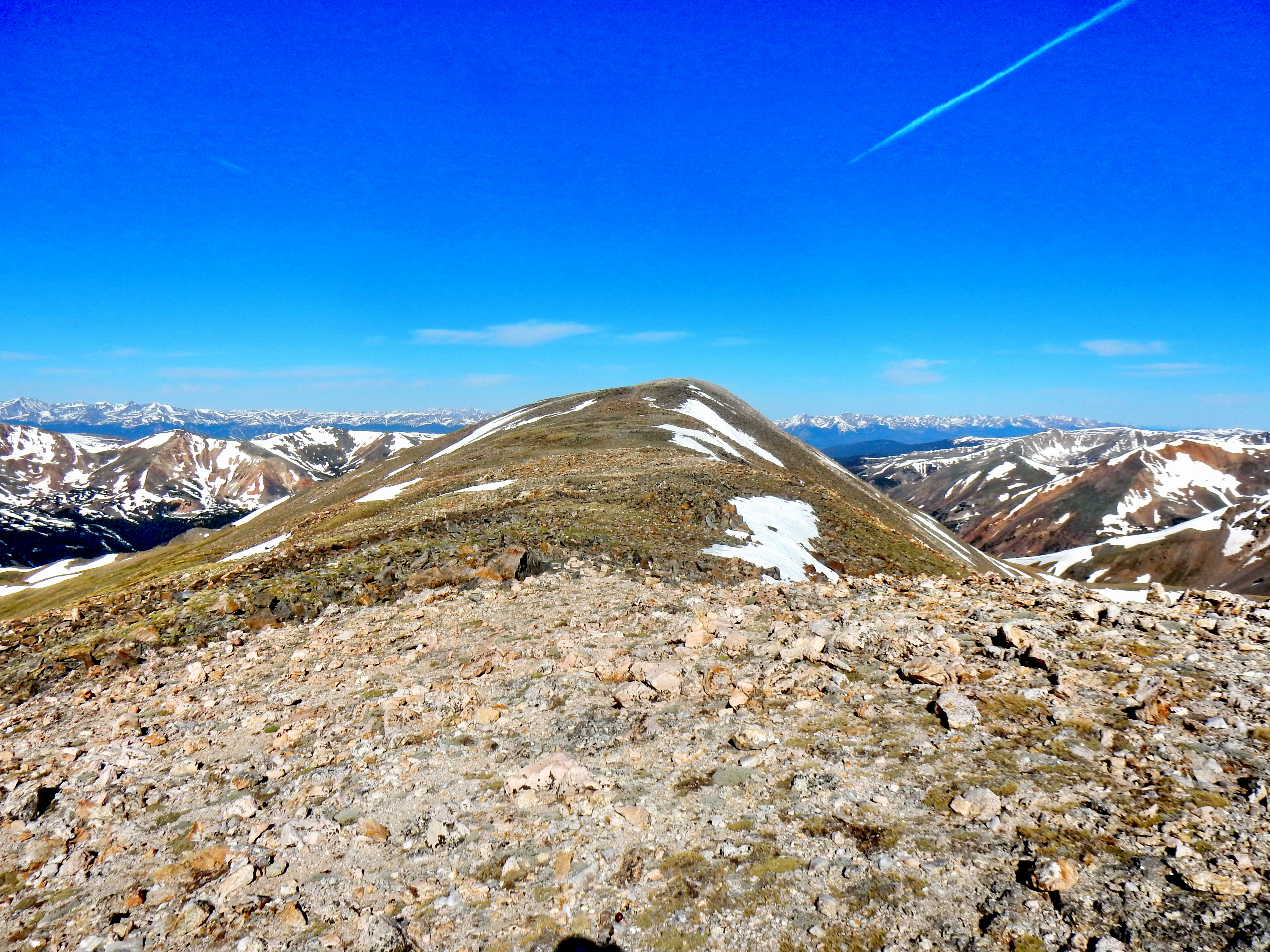
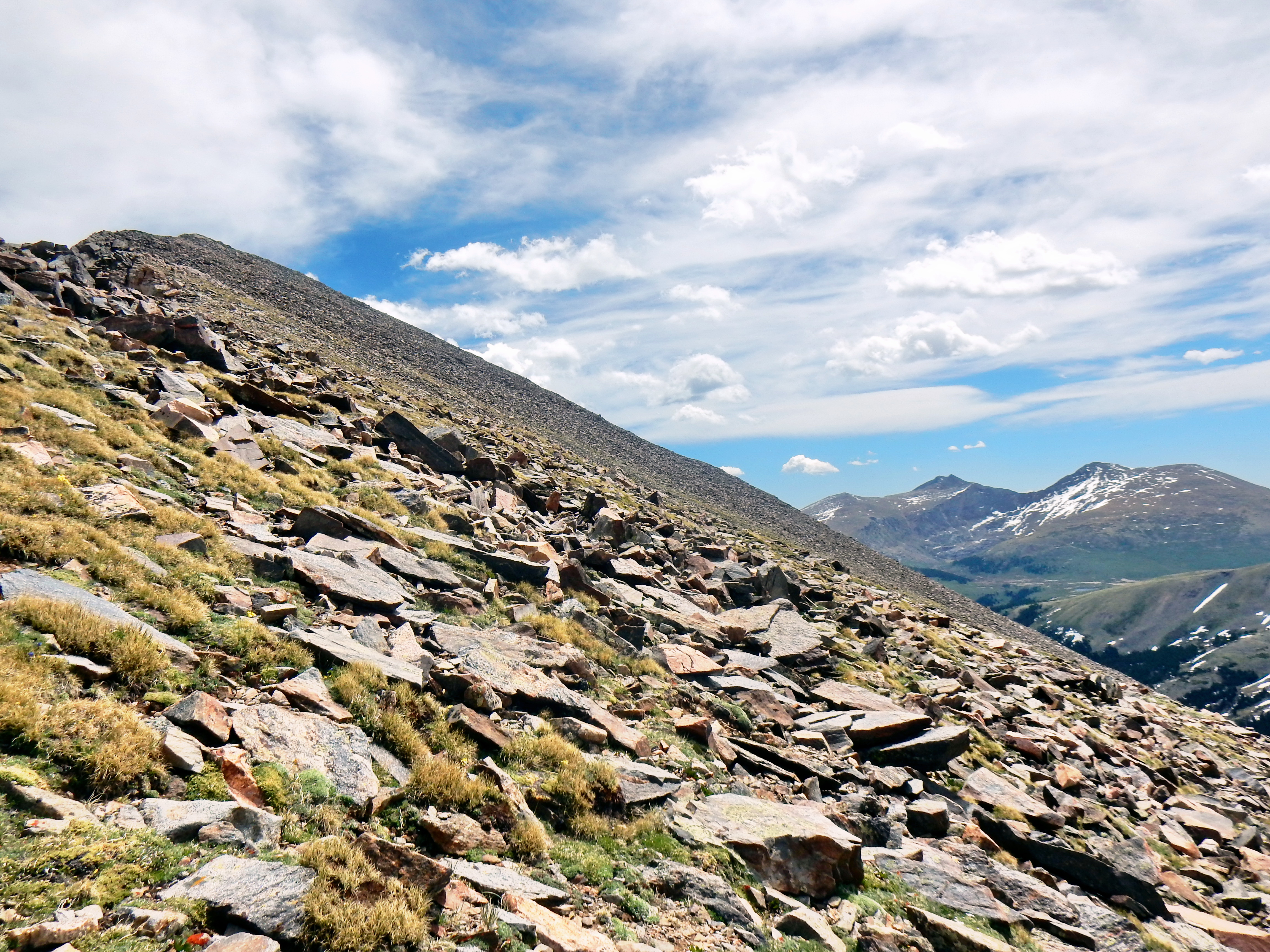
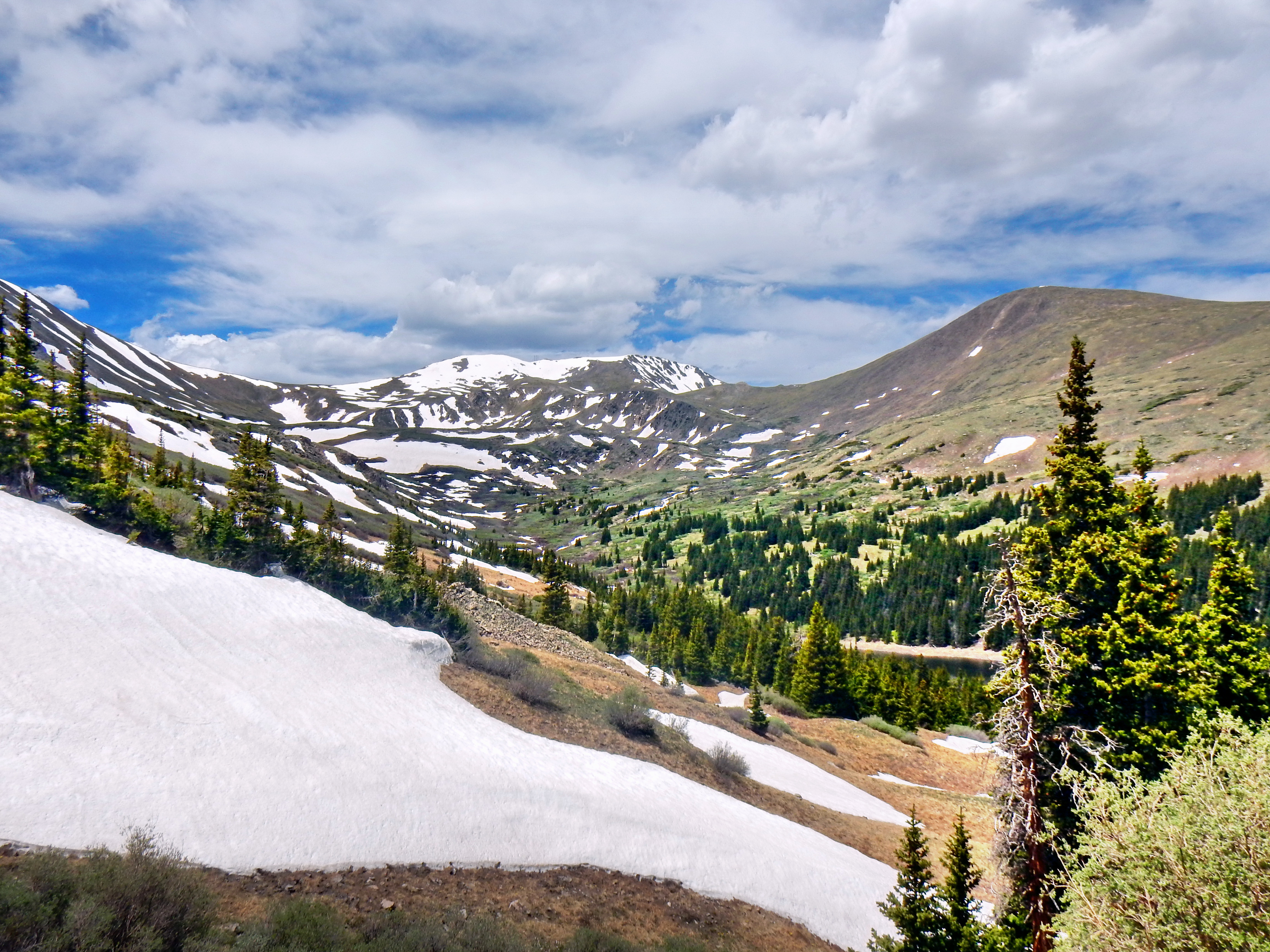
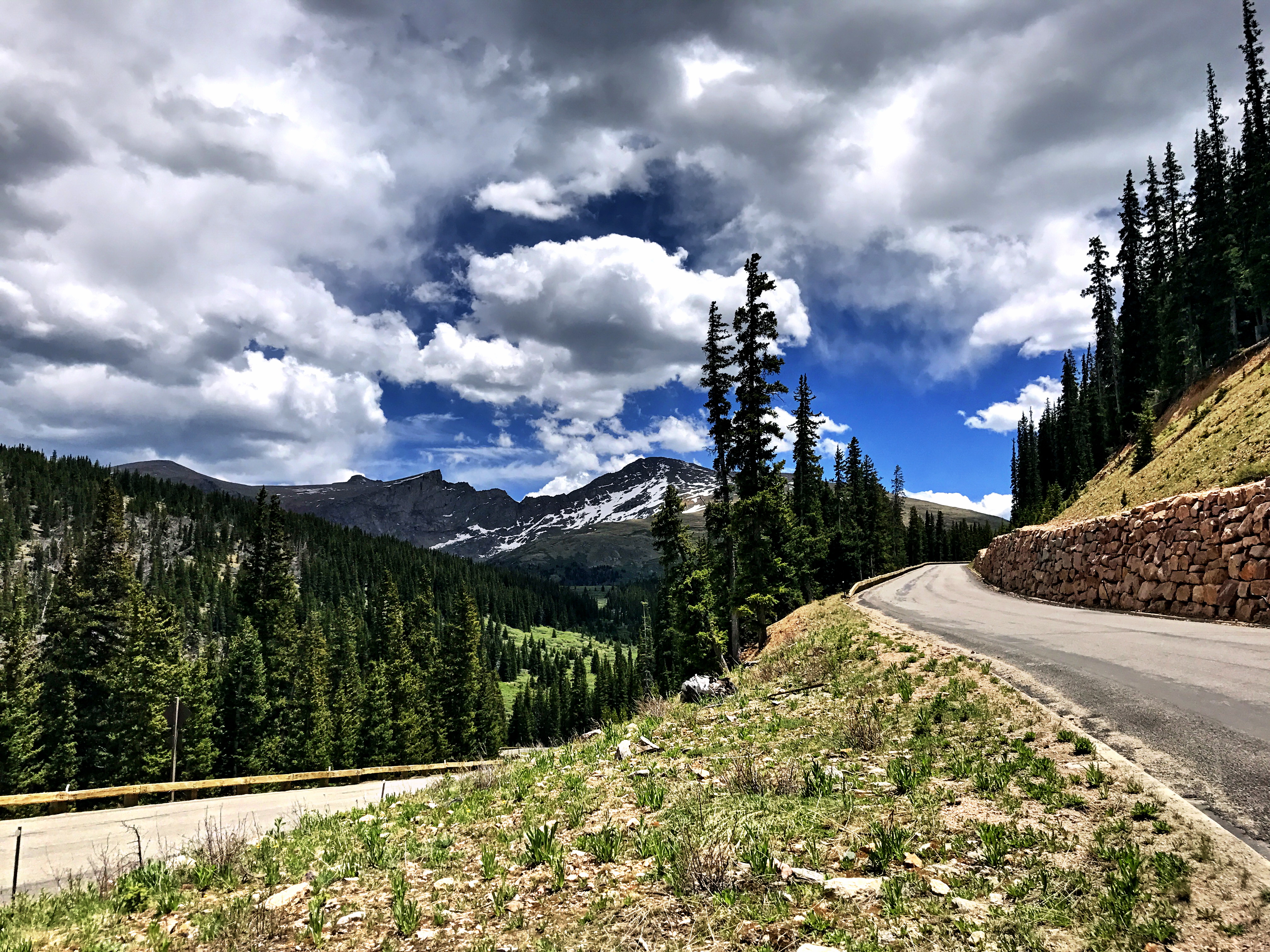
Summit #3: Mt. Wilcox complete!Here is a look at Argentine Pass road with Grays and Torreys behind. But what fun what that be to drive up? Ok, that actually looks pretty fun still!It was very tempting to shoot down the other side of Mt. Wilcox, but I wanted to respect the private property around Naylor Lake. It was a perfect day and no need to potentially disturb the neighbors.It was fairly rocky down Mt. Wilcox, but I decided to contour across toward Murray Lake and then connect with the Silver Dollar Lake trail on the way back down. This turned out to be a little more work than I hoped. In retrospect, I probably would’ve been better off backtracking on the ridge toward Argentine.The Sawtooth between Evans and BierstadtLoooking back up Mt. Wilcox. Just a bit marshy crossing over to Murray Lake/ReservoirOverview pano of the loop. Left to right: Square Top Mtn., Argentine Peak, and Mt. Wilcox.Murray LakeHeading into Silver Dollar LakeSilver Dollar LakeLots of people to take my picture at Silver Dollar Lake. A nice shorter hike option from the road up to Guanella Pass.One final look back from lower on Silver Dollar Lake trail. Left to right: Square Top Mtn. ridge, Argentine Peak, and Mt. Wilcox.One downside to my planned route was two miles on the road back up to the parking lot at the Guanella Pass summit. If you have two cars, just park one at Silver Dollar Lake Trail to make it easier. Or, you can probably hitch a ride. I was pretty tired, but I never ask for a ride unless I really need it; otherwise, just suck it up!It was a relief to finally spot the parking lot. What a great day!
As I mentioned earlier, it might be better to head back over toward Argentine Peak from the top of Mt. Wilcox. Also, they may be a good way to cut out the road section without climbing back up Square Top, but this made for a great, challenging day!


My photos and labeling. Do you know what the total mileage (approximately) was ? I’m having to take a nap after seeing it. See you soon.