Mt. Guyot first got on my radar when I did a trail run up Georgia Pass from Jefferson with some friends last summer. We were feeling ambitious as we arrived at the pass and Guyot’s diamond shape was quite alluring. However, Guyot looked very steep and rocky so we decided to head over to Whale Peak (13,078) instead. We had a great ridge run over to Whale Peak and Mt. Guyot drifted away from my thoughts. Then, I returned to Georgia Pass last weekend with my friends and the intrigue of Mt. Guyot returned once again. Since we started from Kenosha Pass, our day was already long and we never really considered climbing it on our visit.
Last night when I was trying to decide on a target for the day, Mt. Guyot was very fresh on my mind. Although, I was just at Georgia Pass a couple of days ago and sort of wrote off the idea. After reviewing several other options, I got sort of tired of trying to find the perfect hike for the day. I was looking for some significant elevation gain and wanted a few runnable stretches for training as well. Ultimately, I decided to print out some directions from 14ers.com for a route up Mt. Guyot from the Breckenridge side (French Gulch trail).
That plan lasted only about 2 miles when I ran into Denver rush hour traffic on I-25 and decided to remain on Hwy 285. I quickly decided that I’d just head up to Jefferson and attempt Mt. Guyot from Jefferson and Georgia Pass. I was pretty confident that I could figure it out without any real preparation. The climb up to Georgia Pass was relatively quick and pleasant and any concern I had of not enjoying being on the same trail as a few days prior quickly disappeared. Georgia Pass is beautiful and the trail is fantastic!
Ok, let’s jump into the day’s climb.
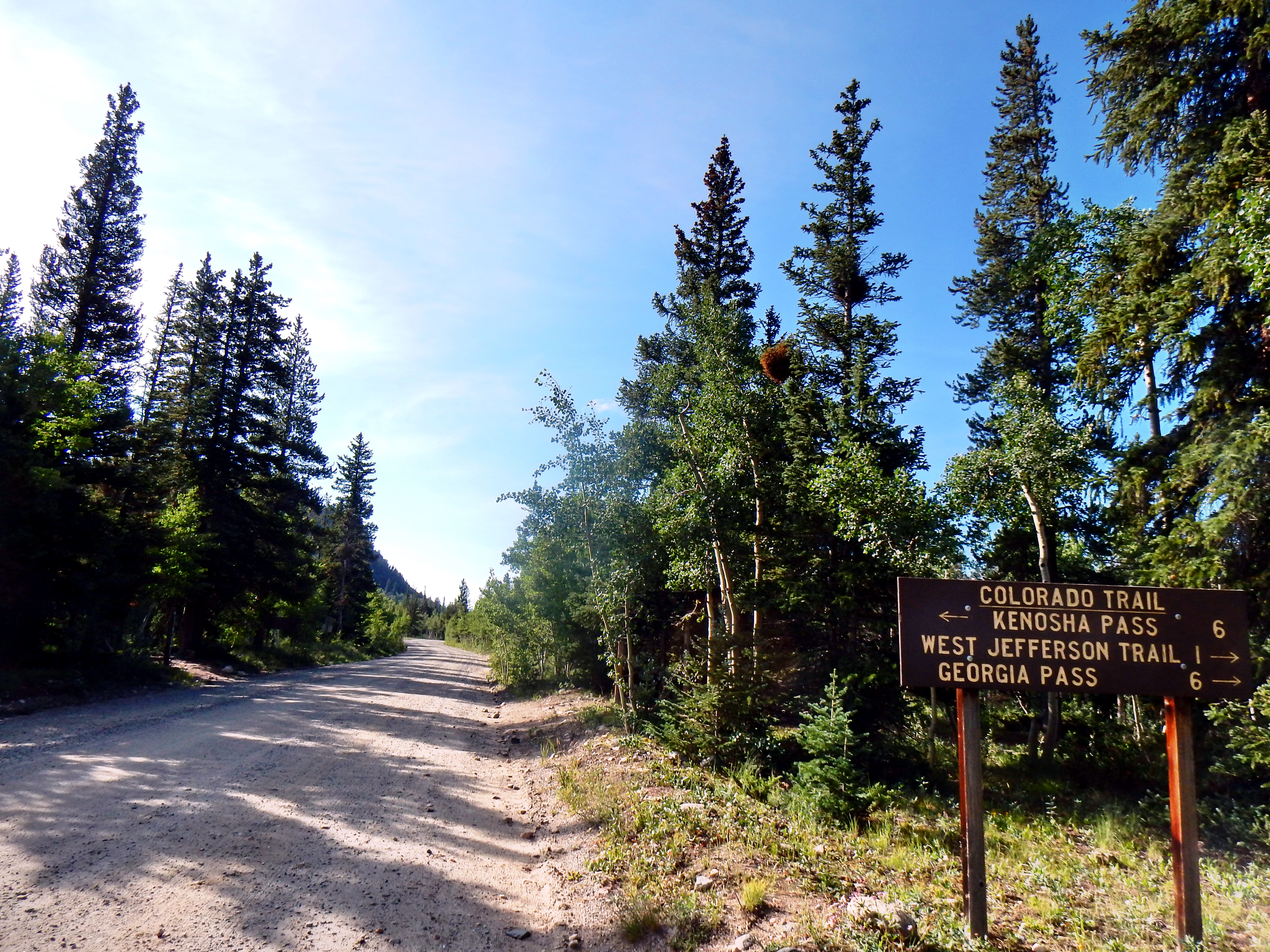
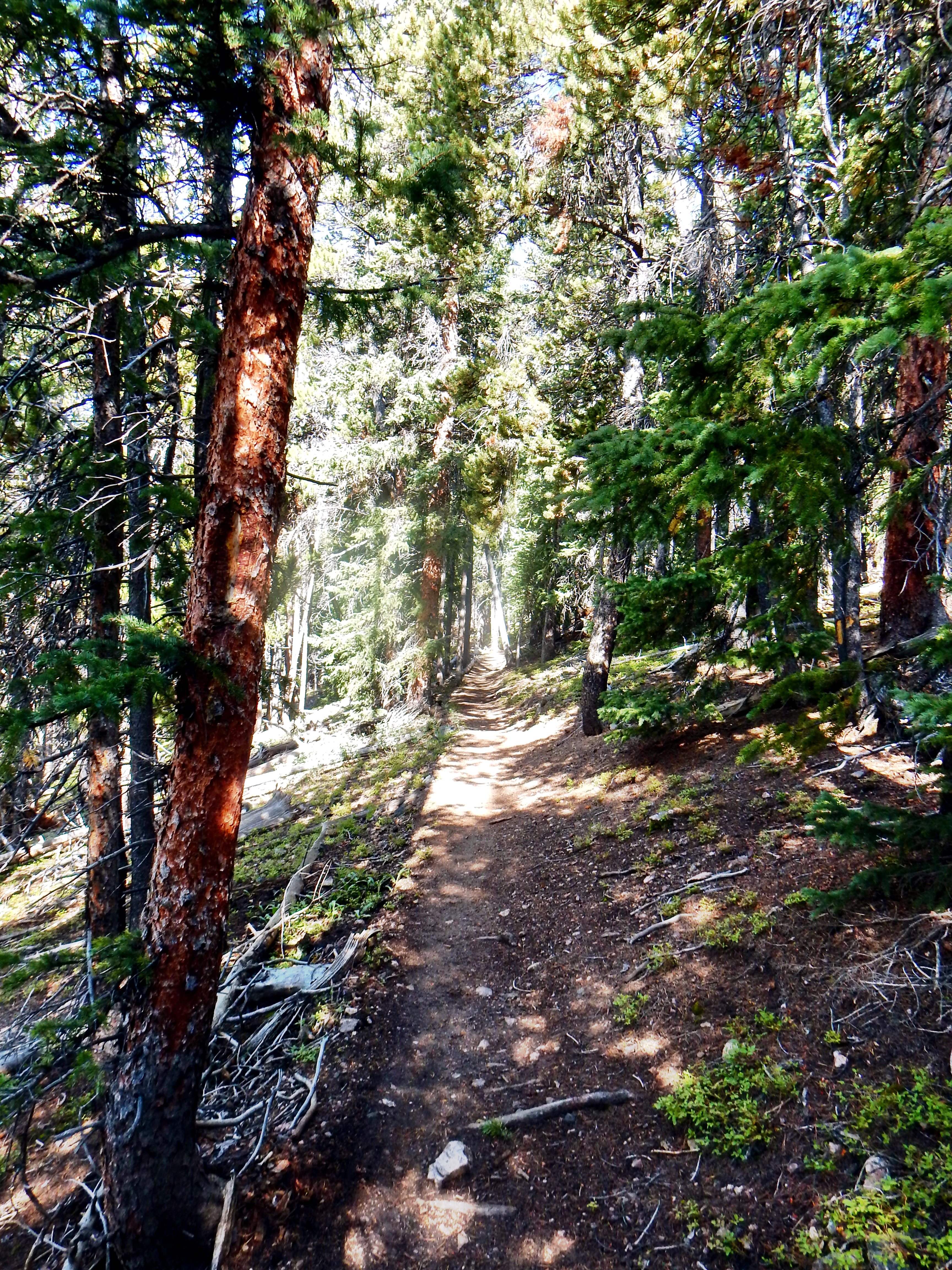
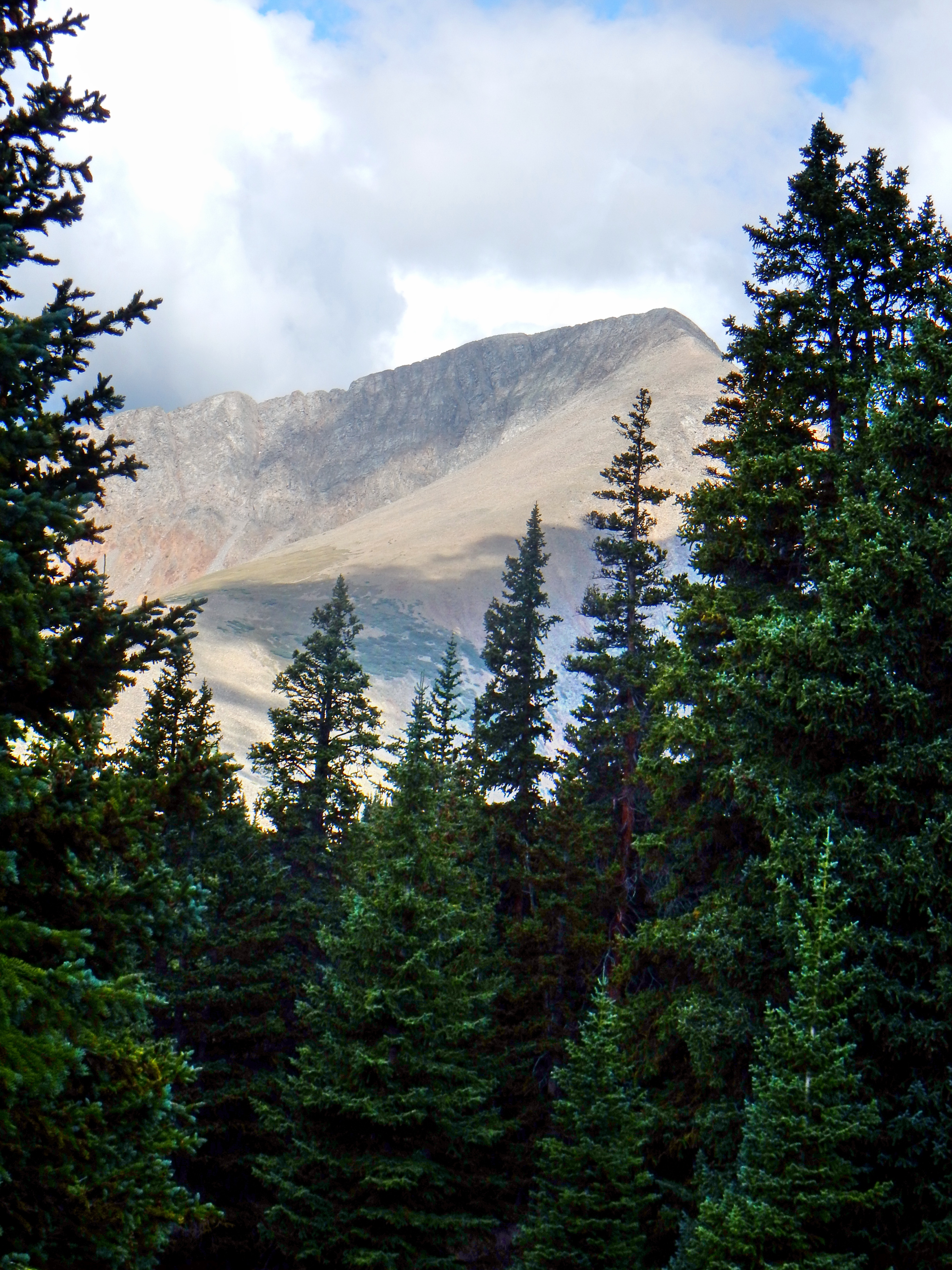
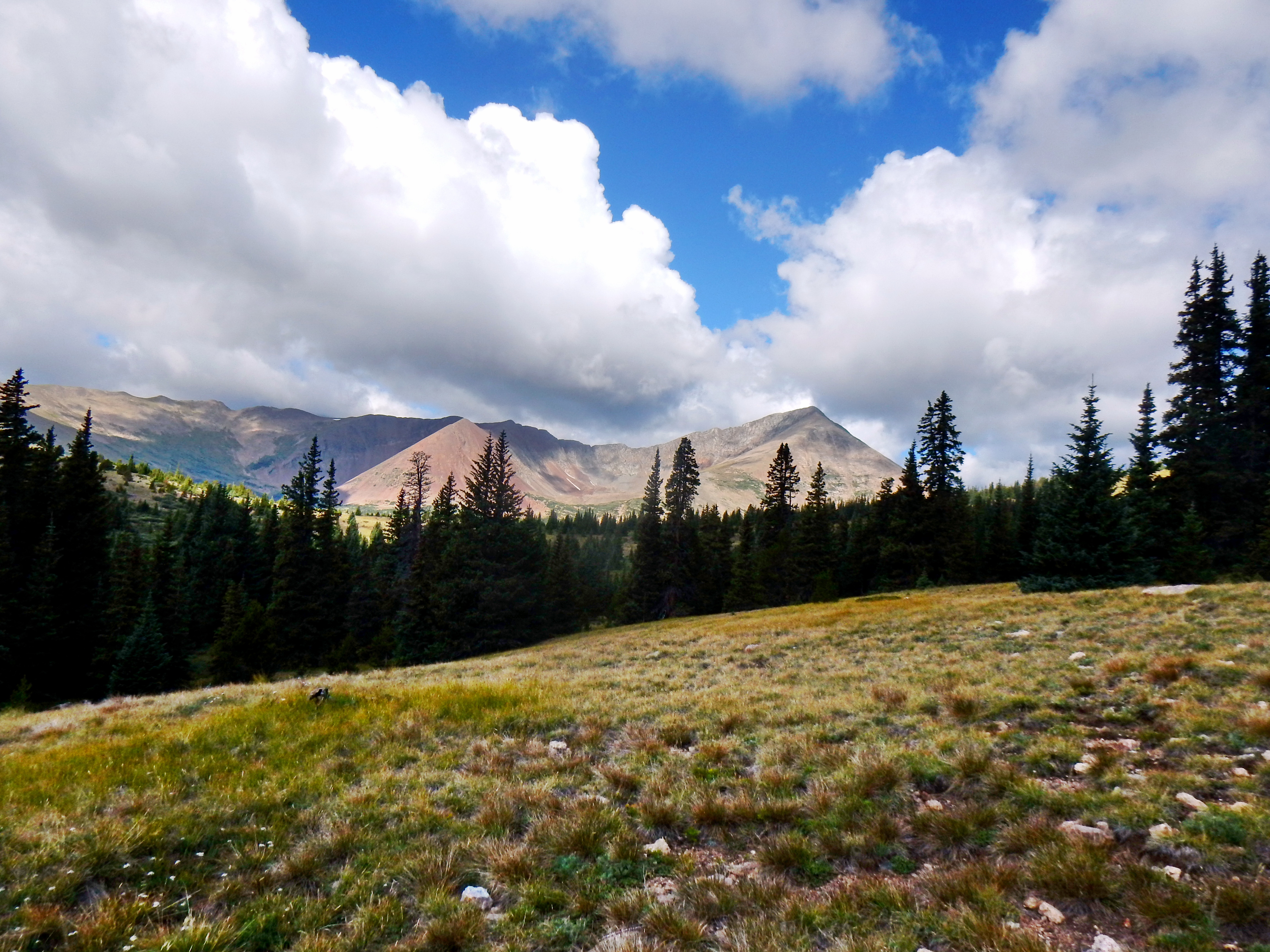
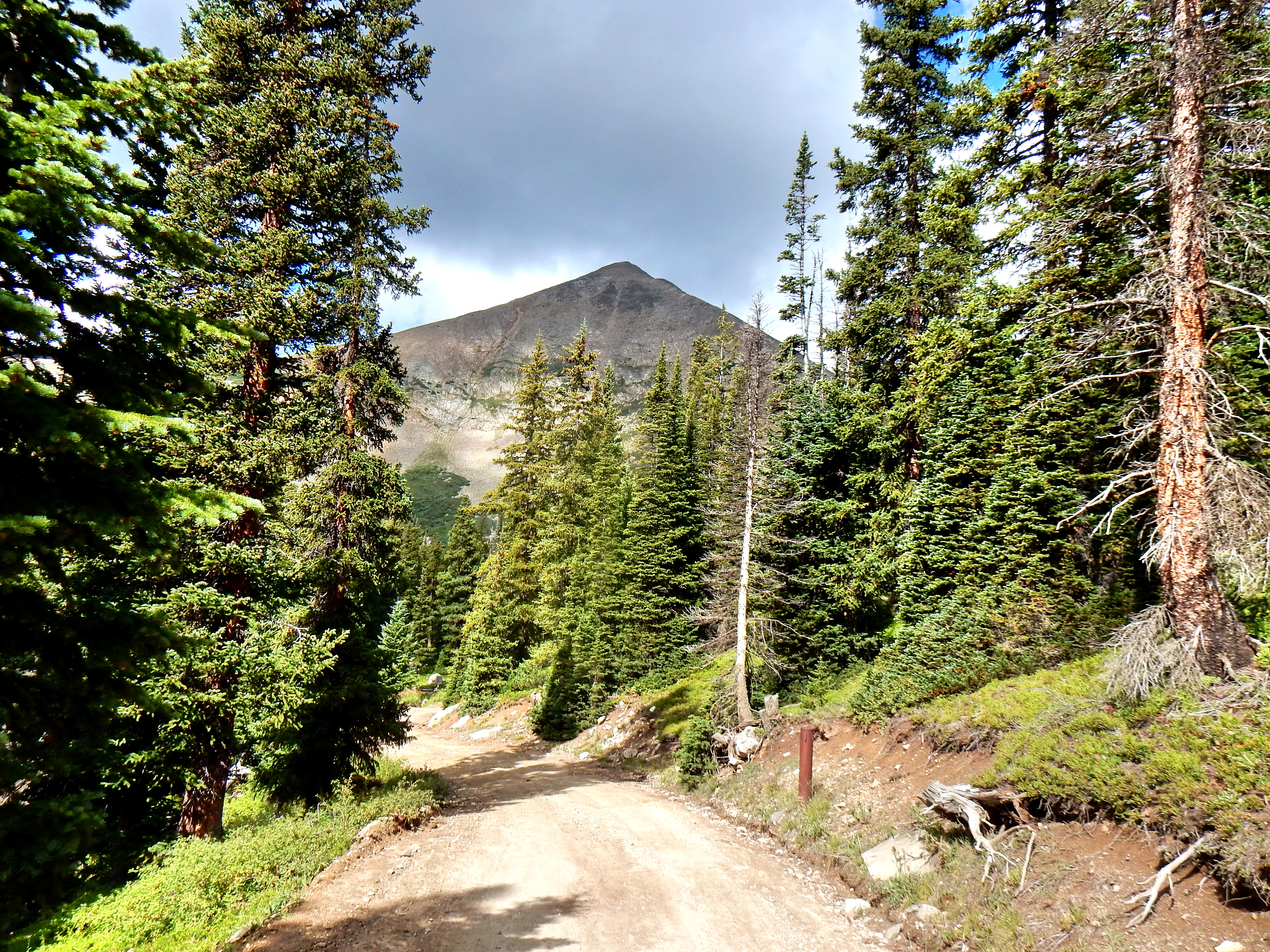
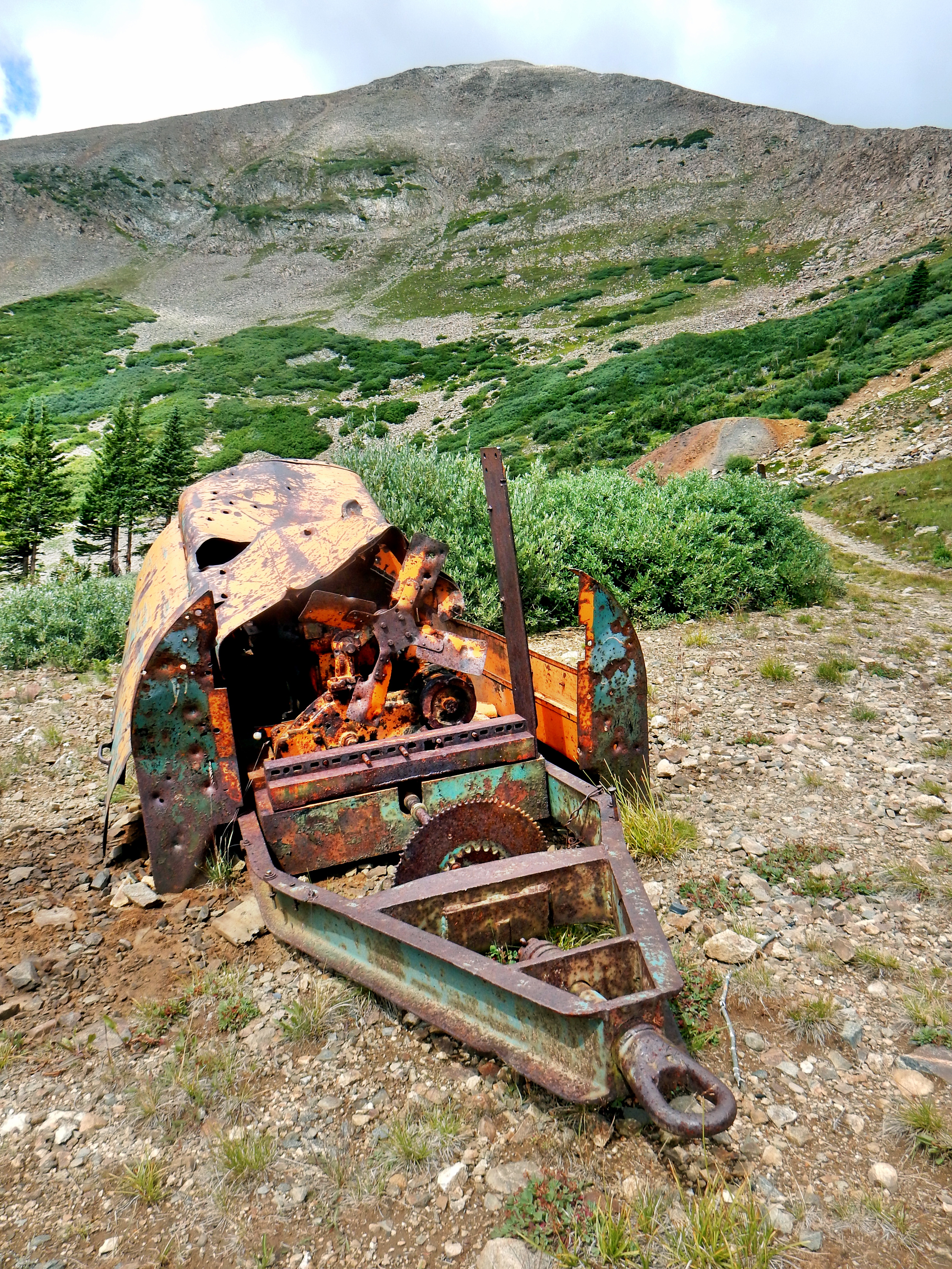
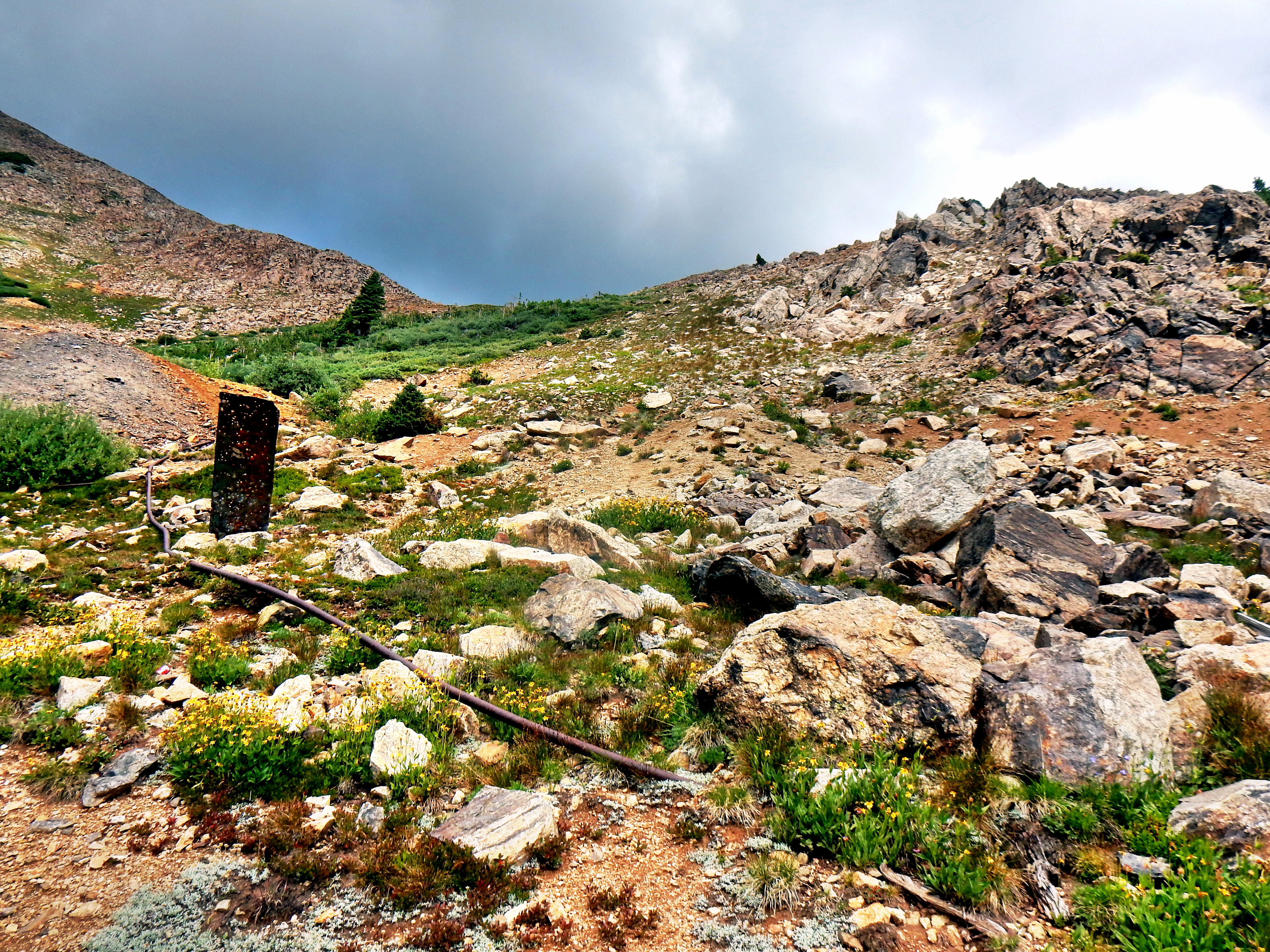
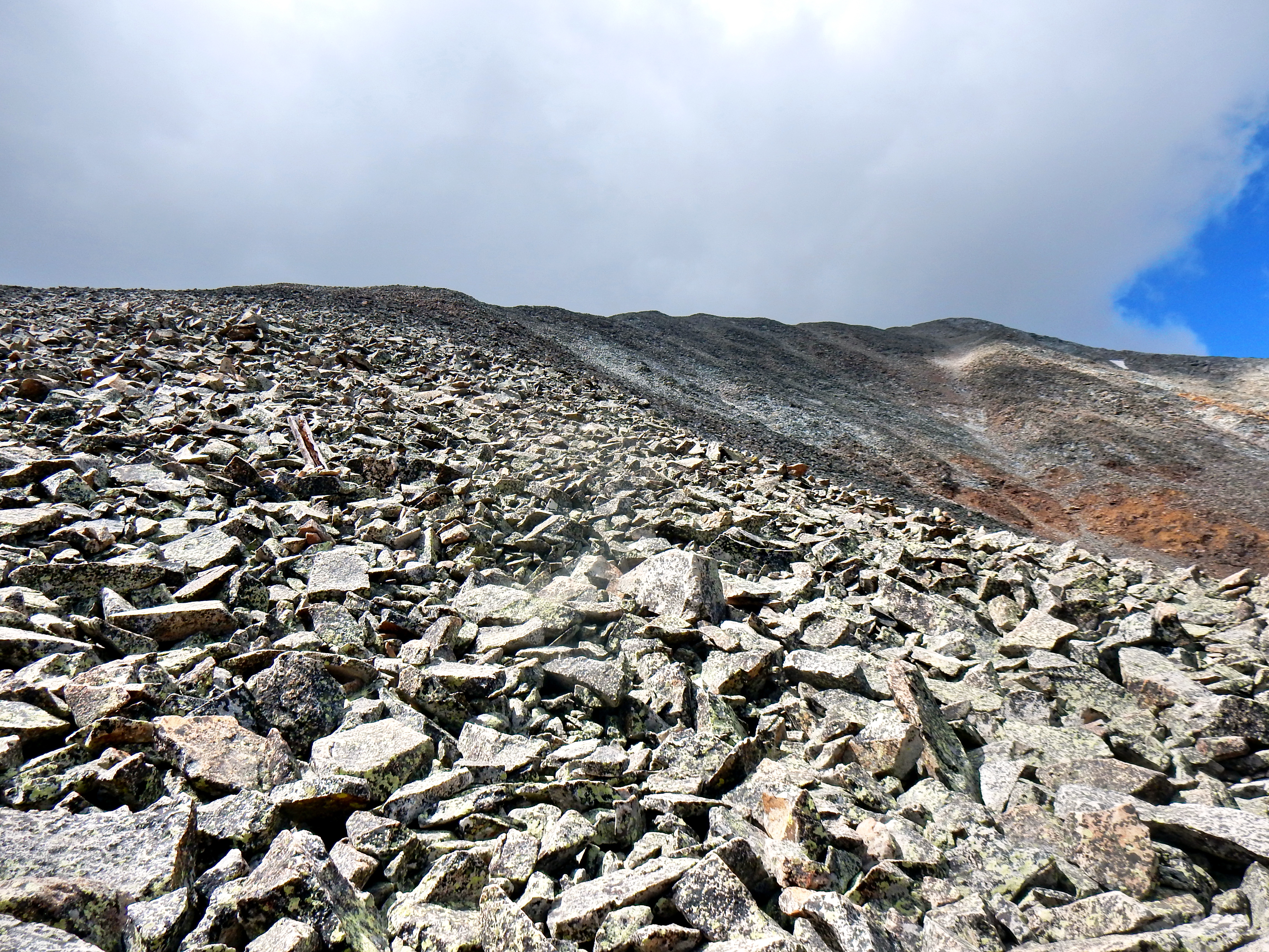
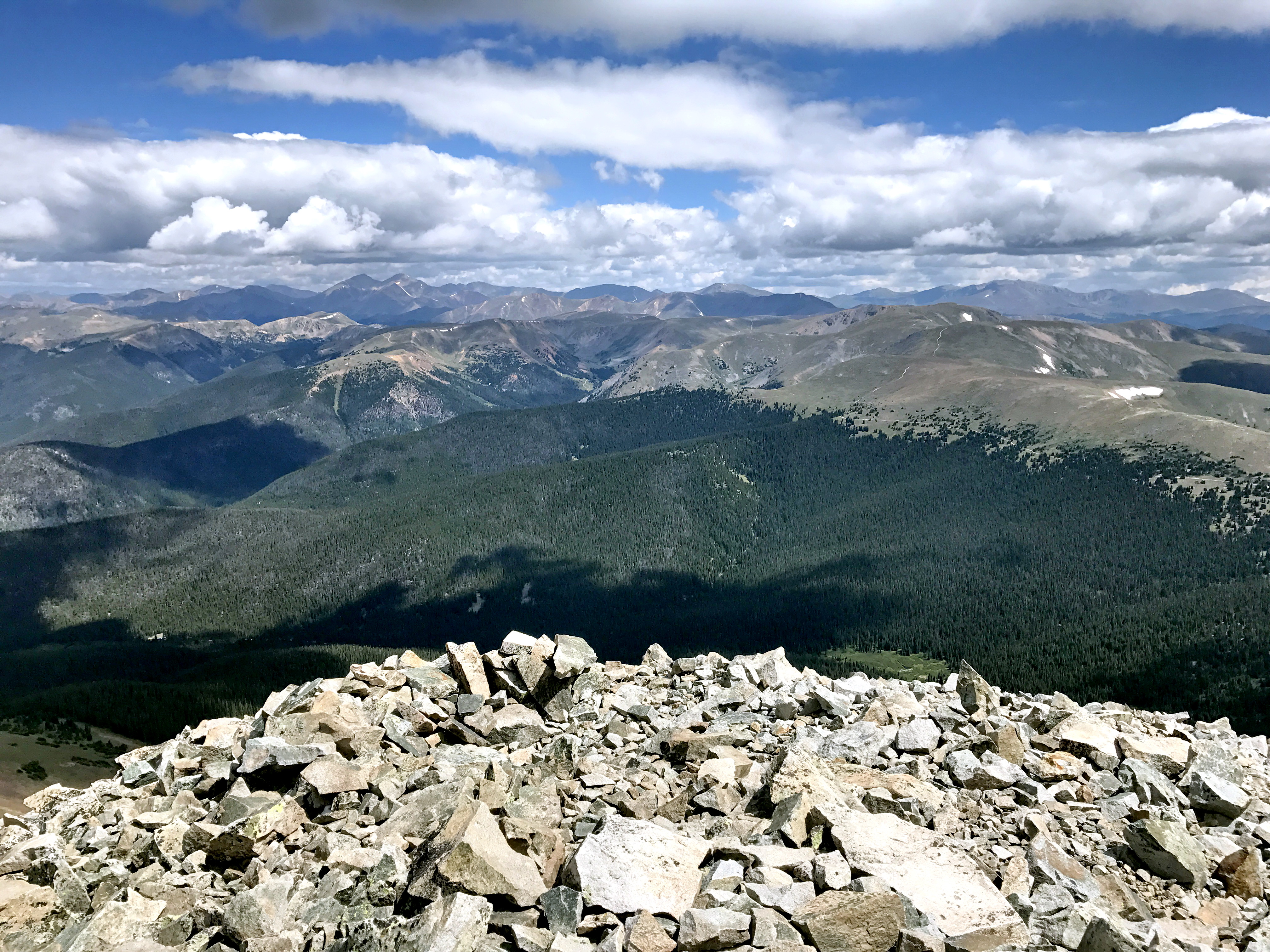
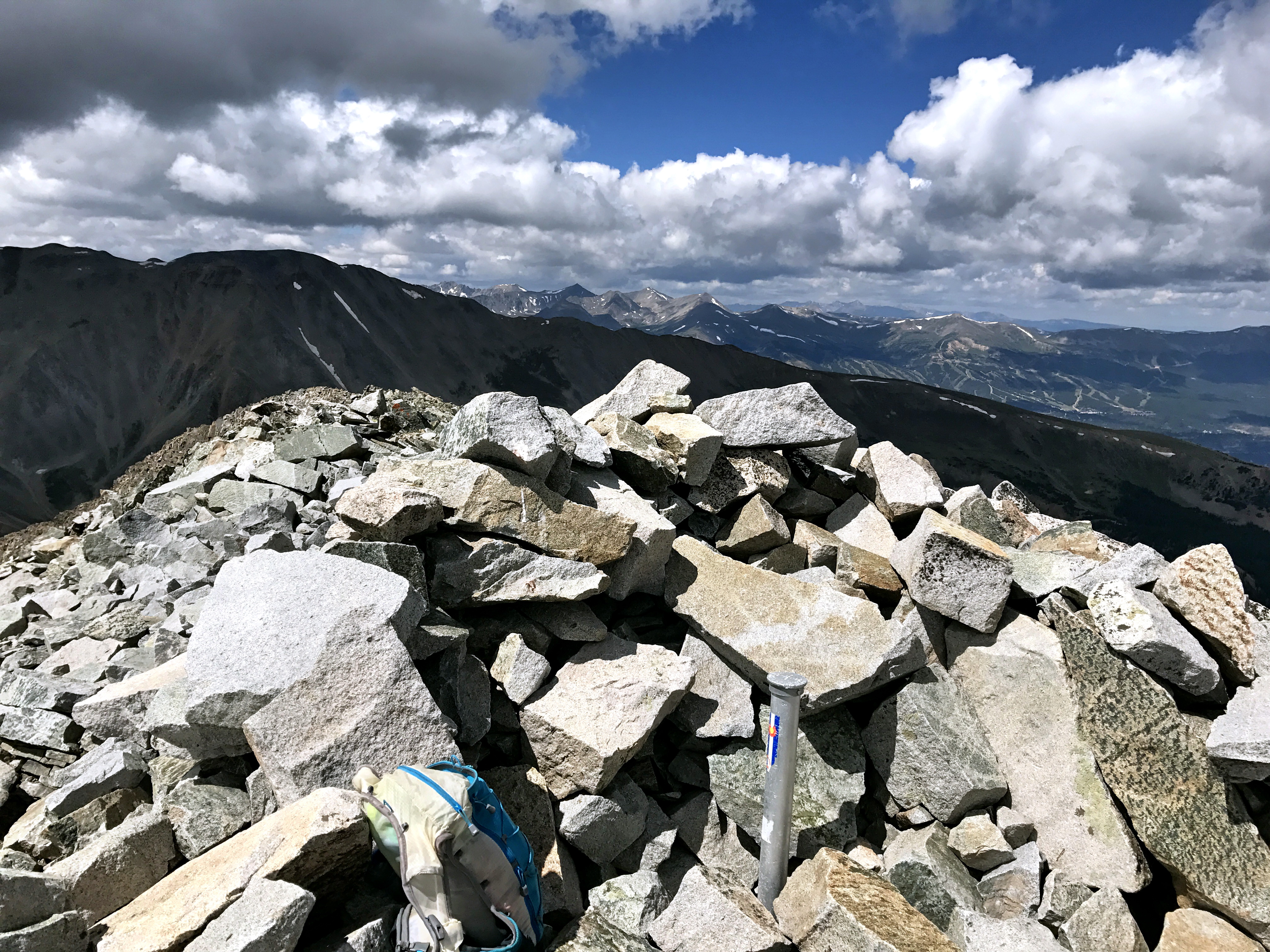
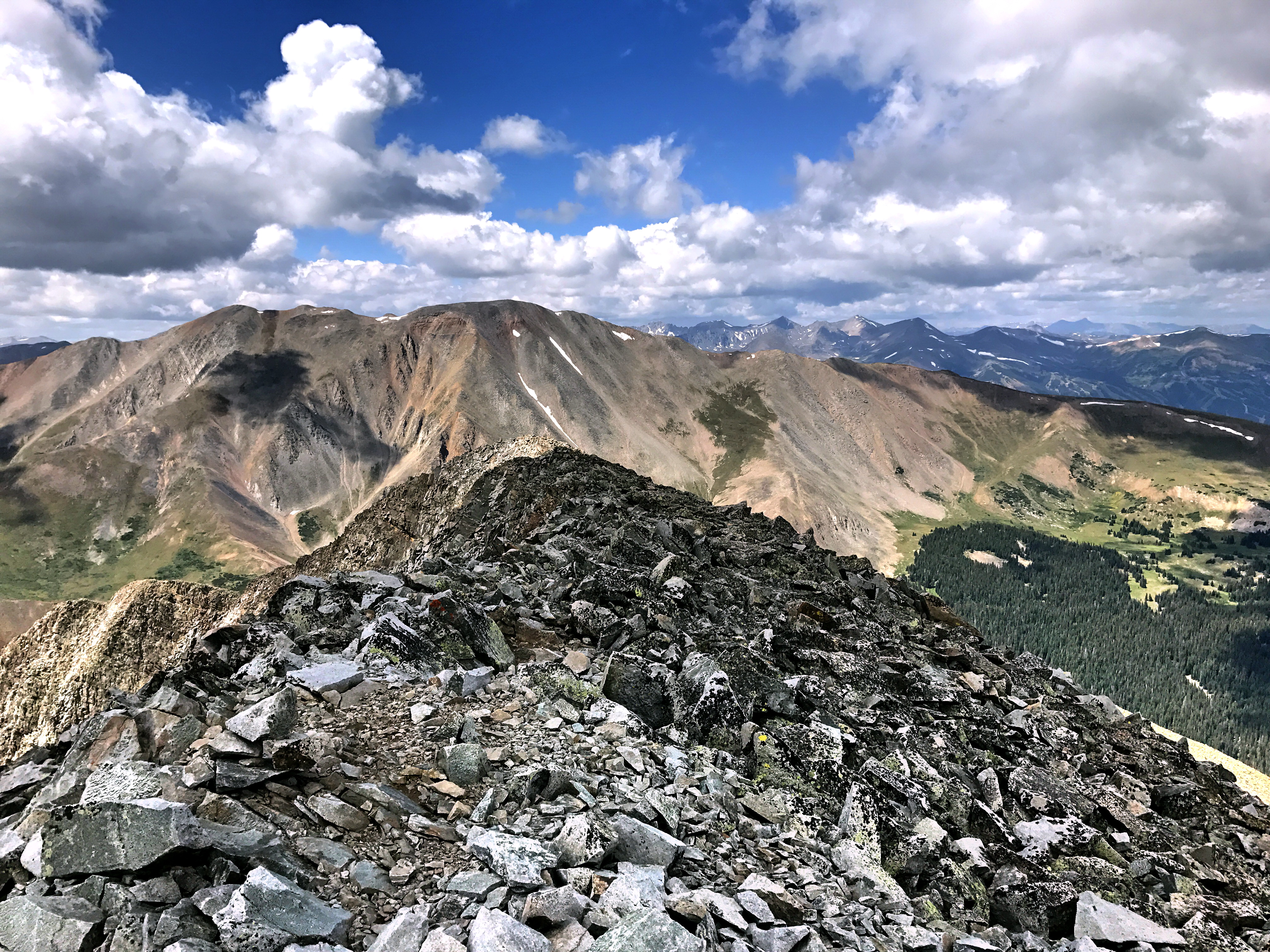
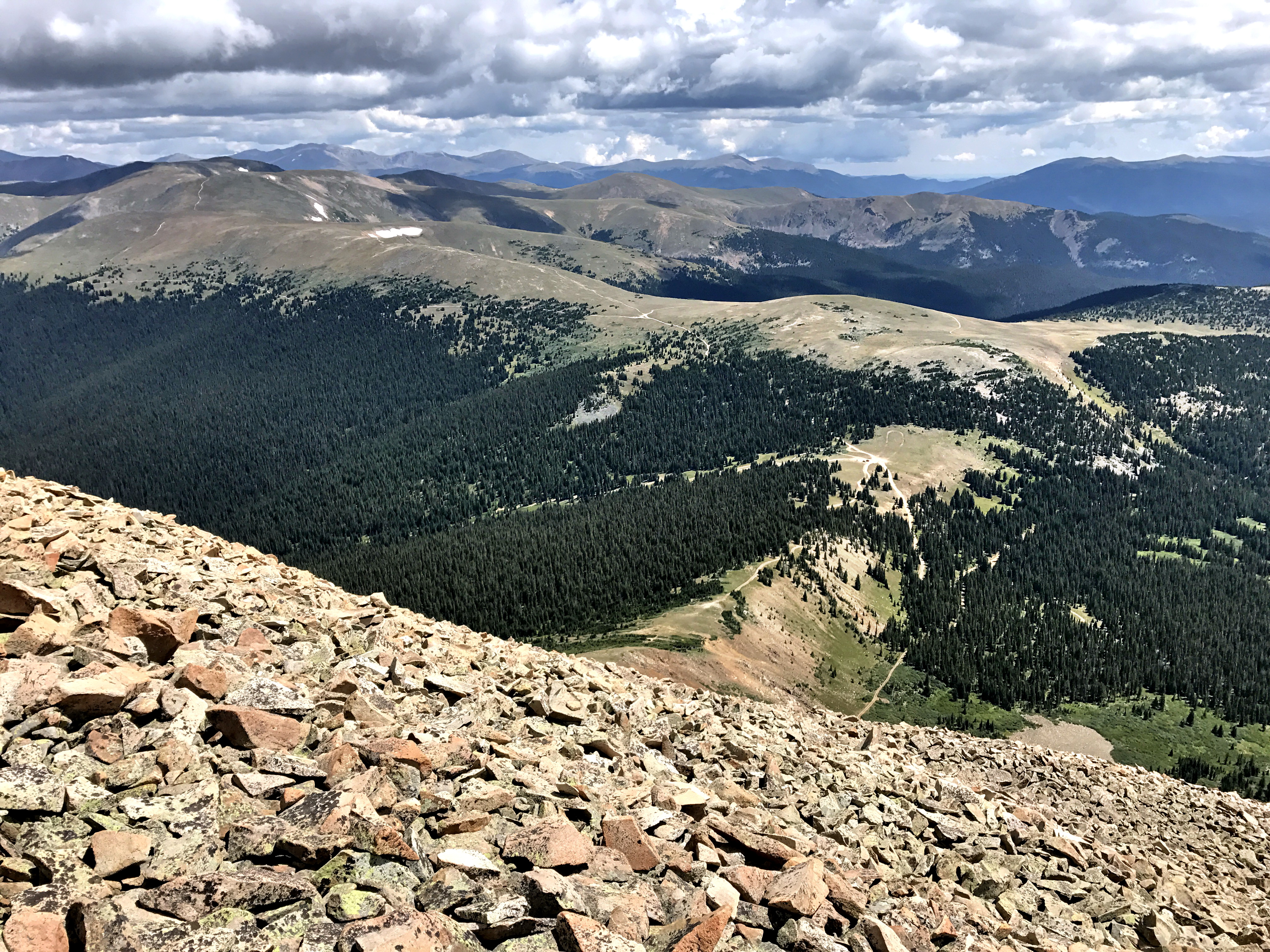
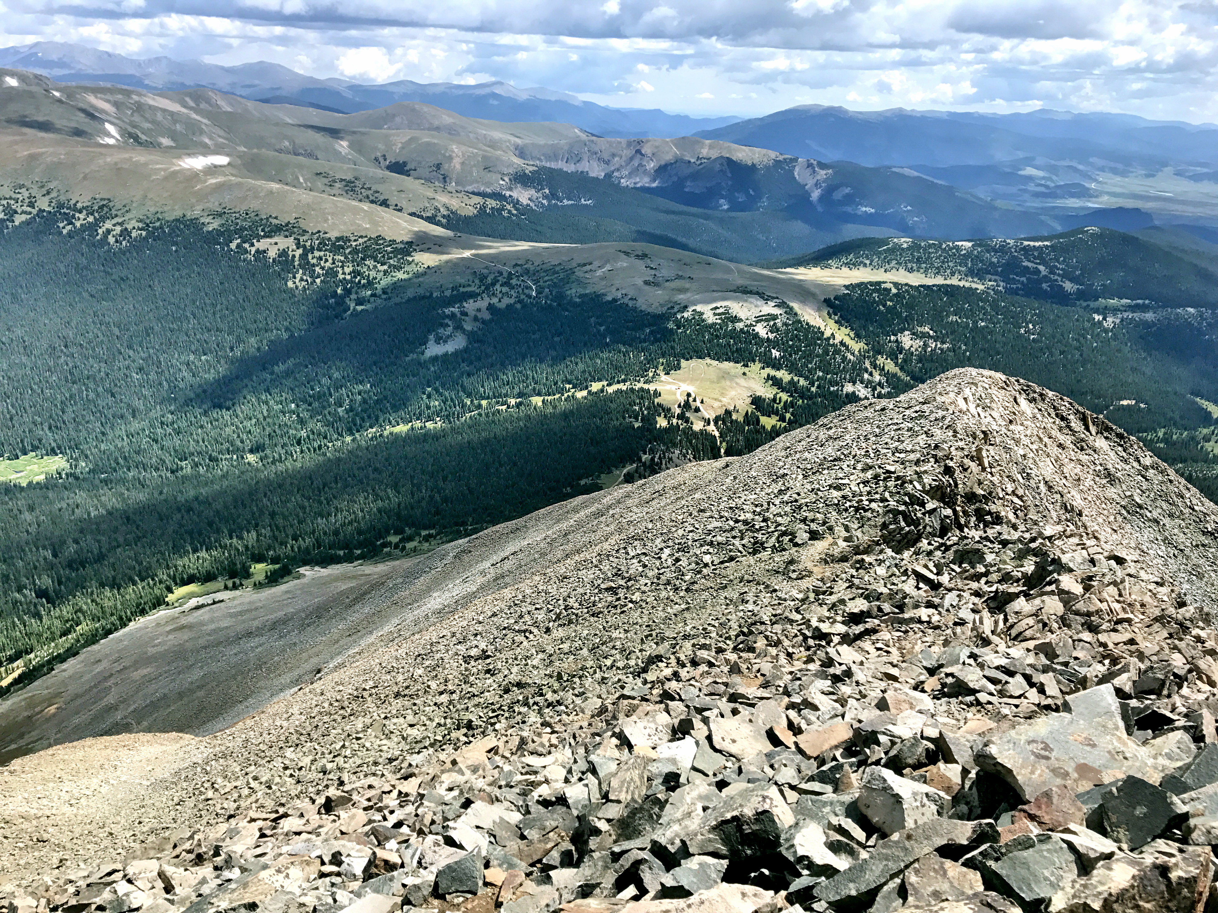
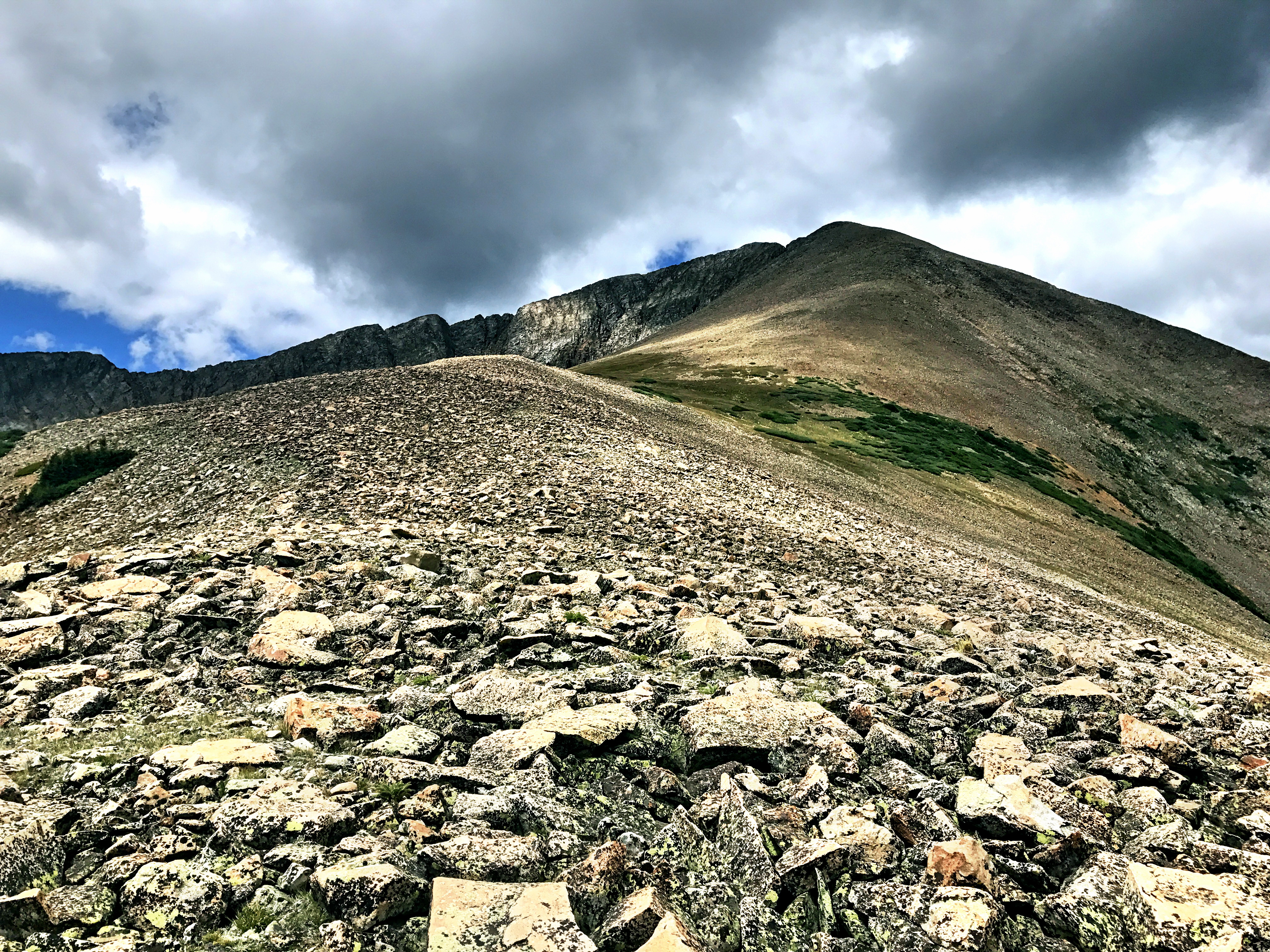
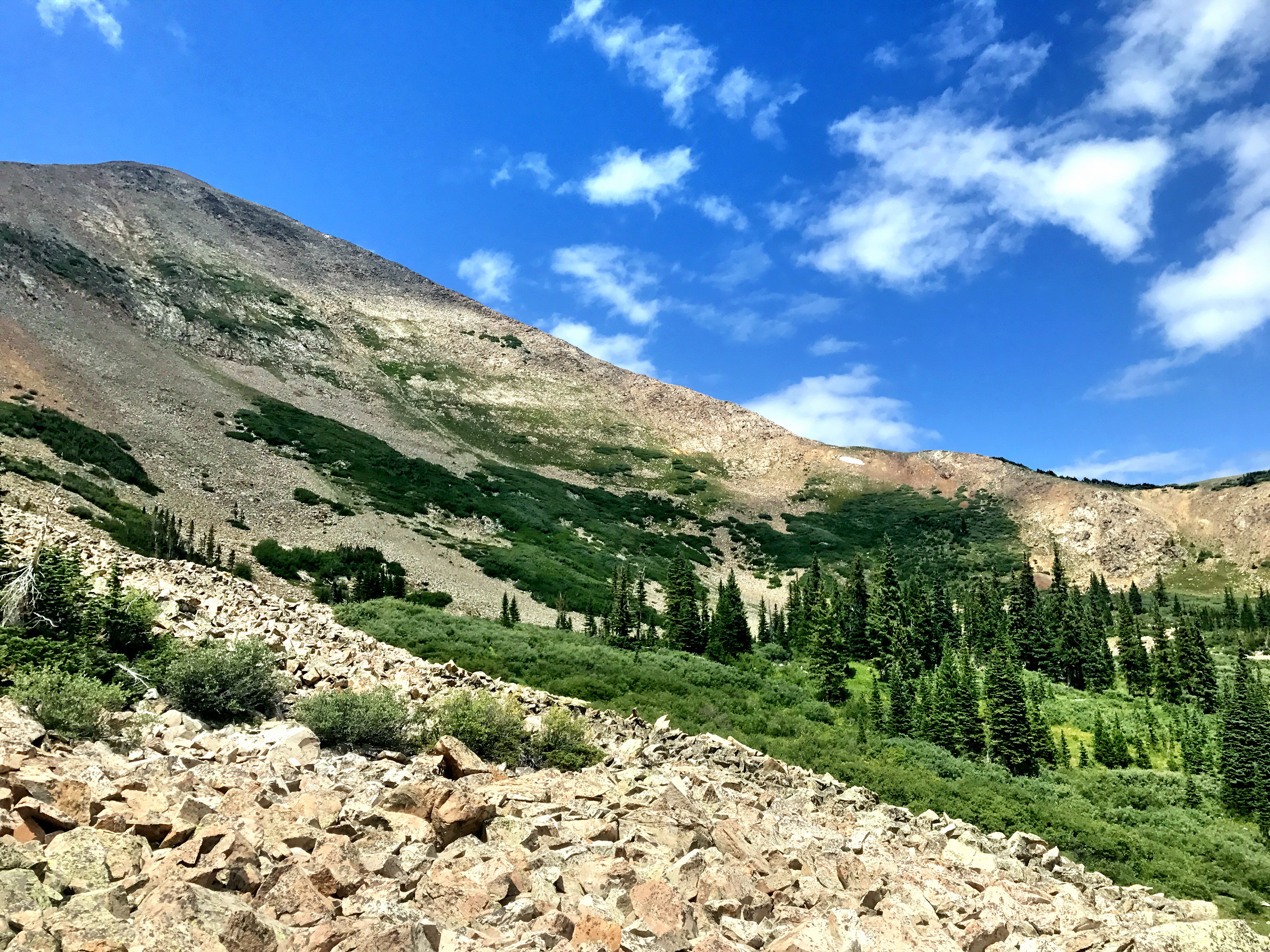
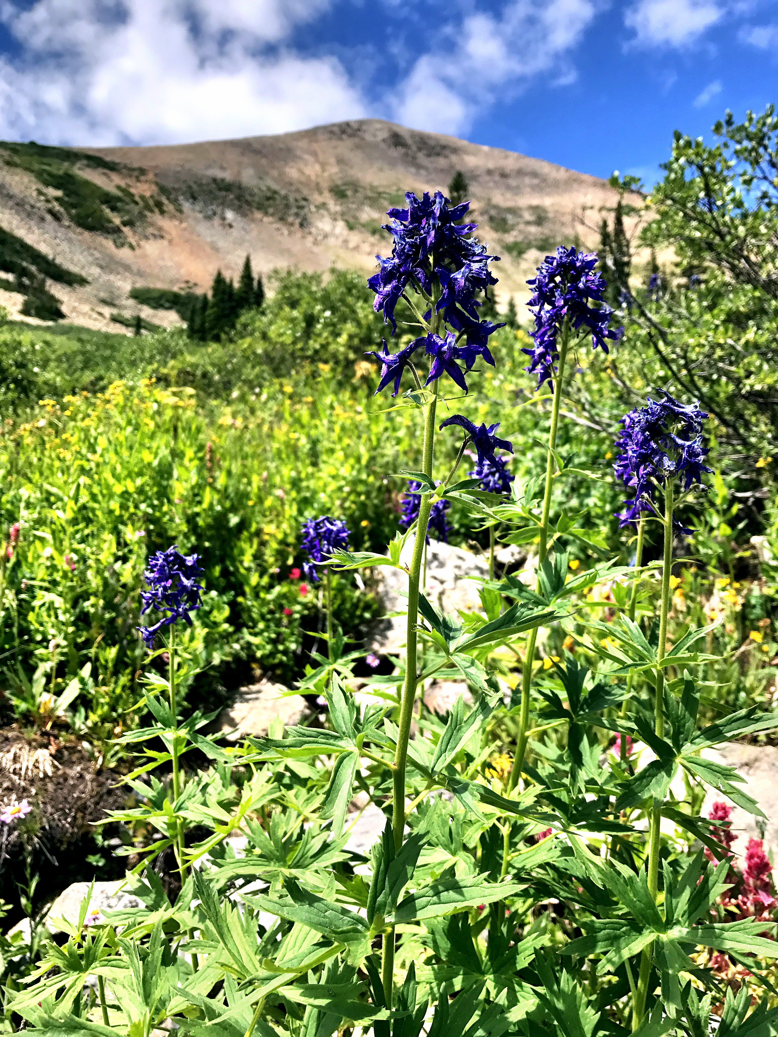
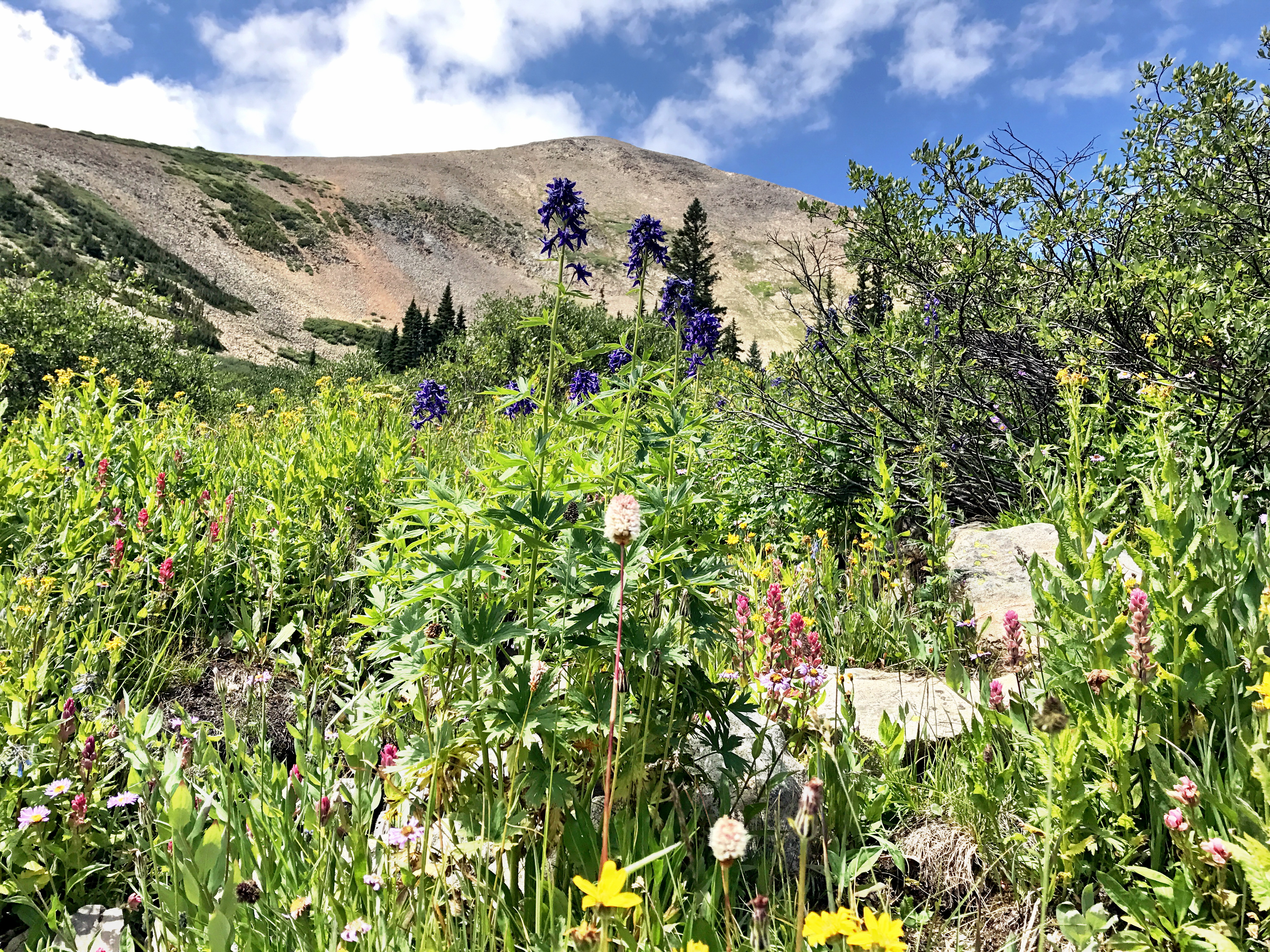
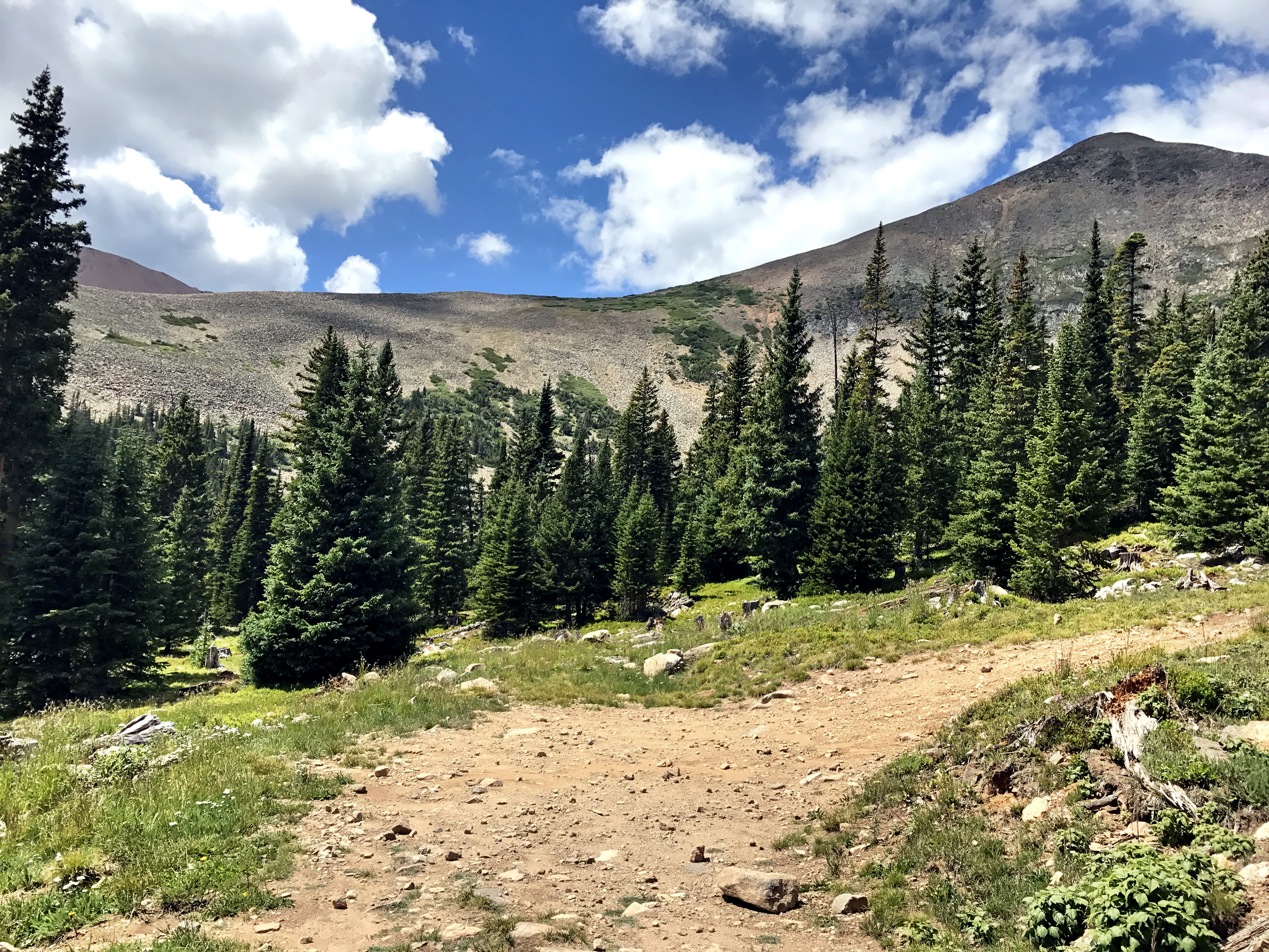
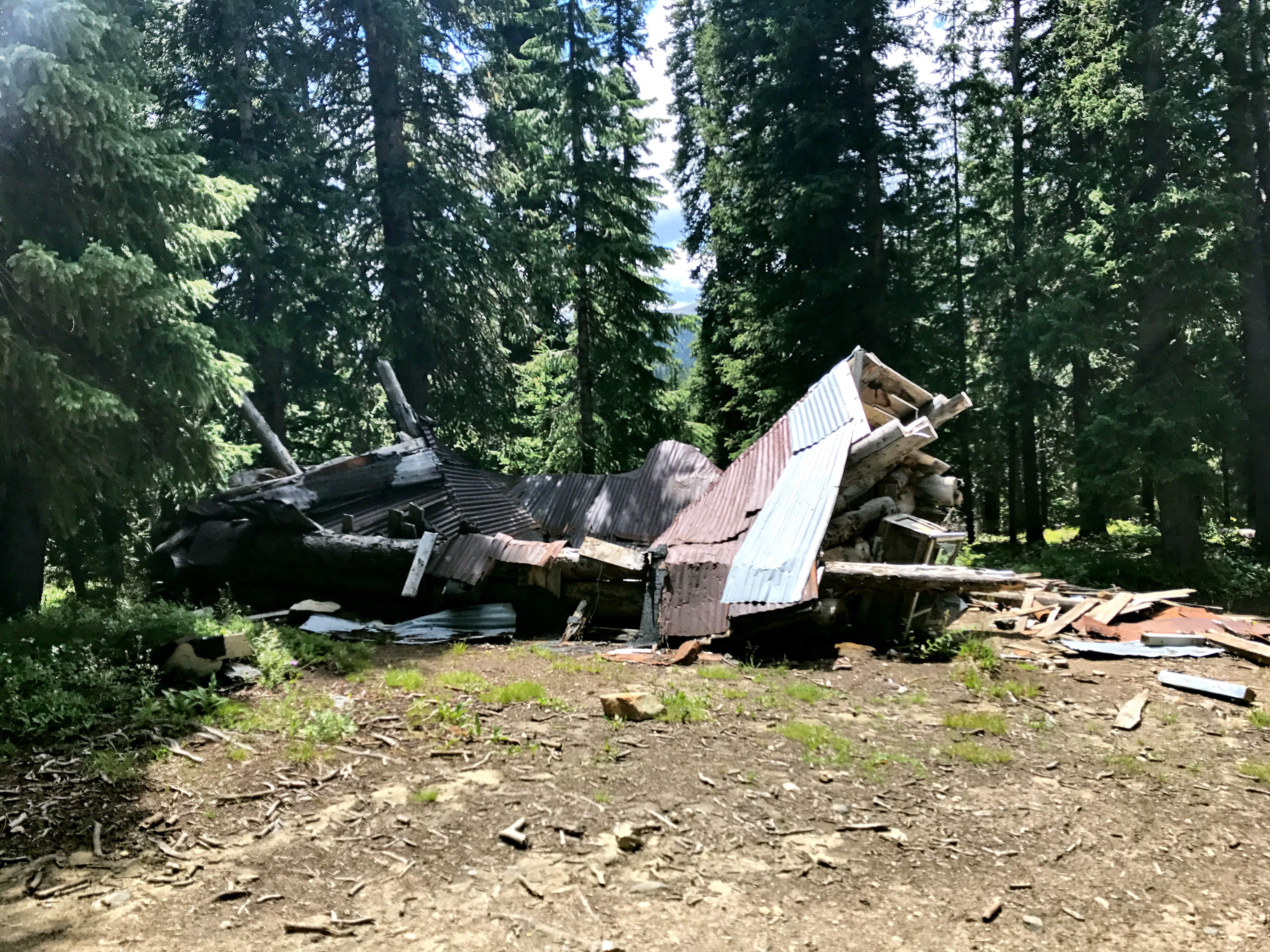
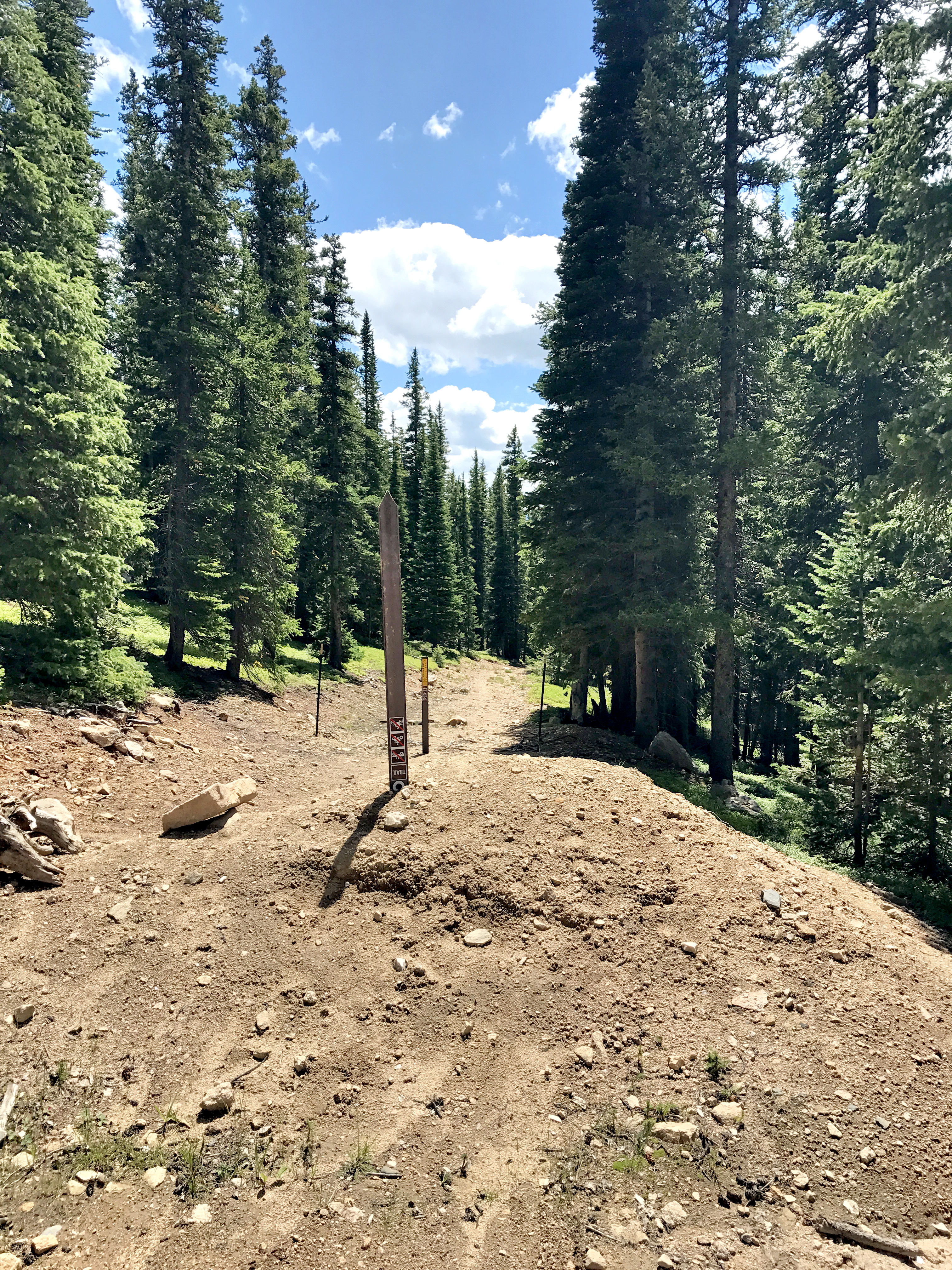
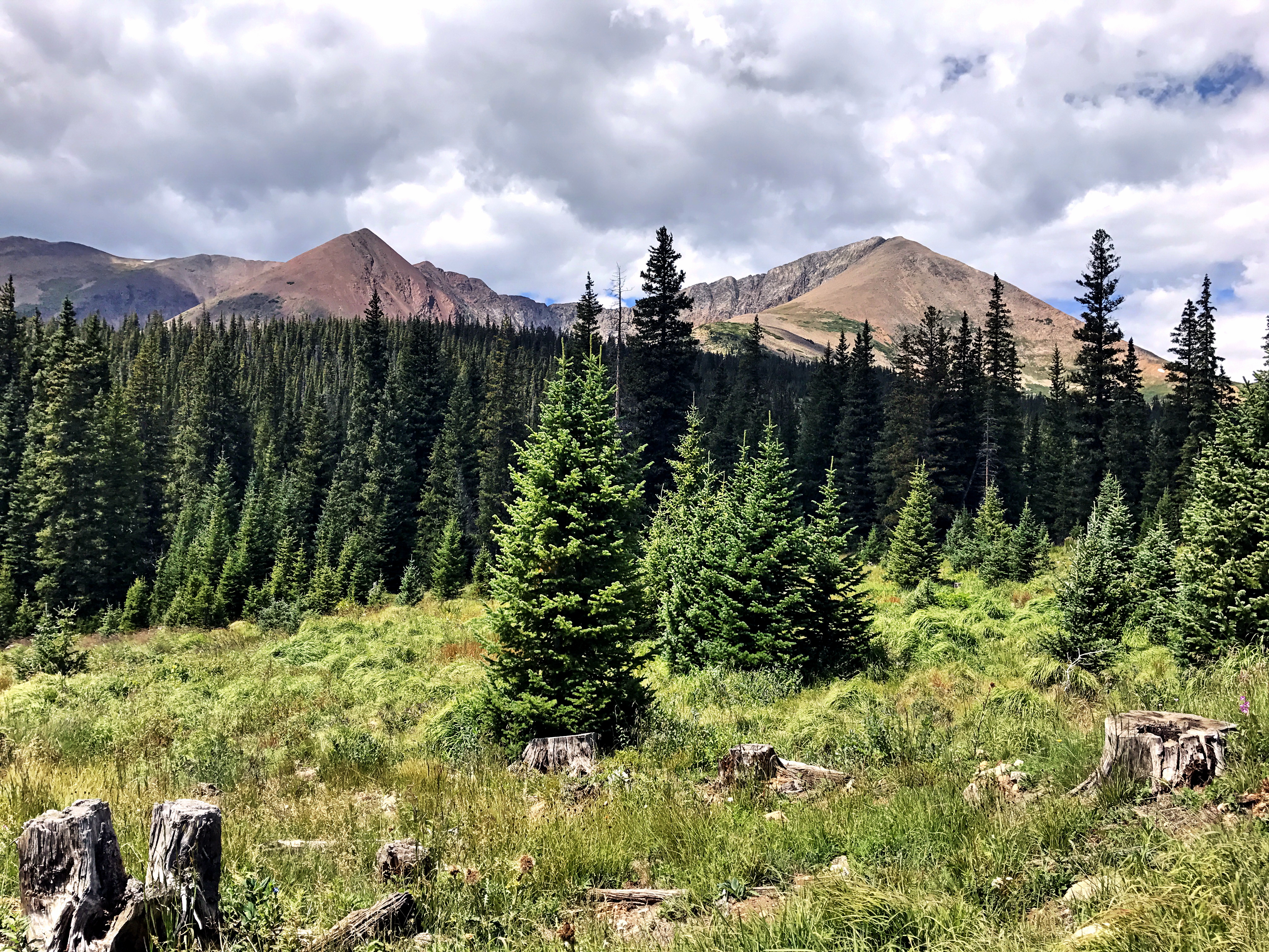
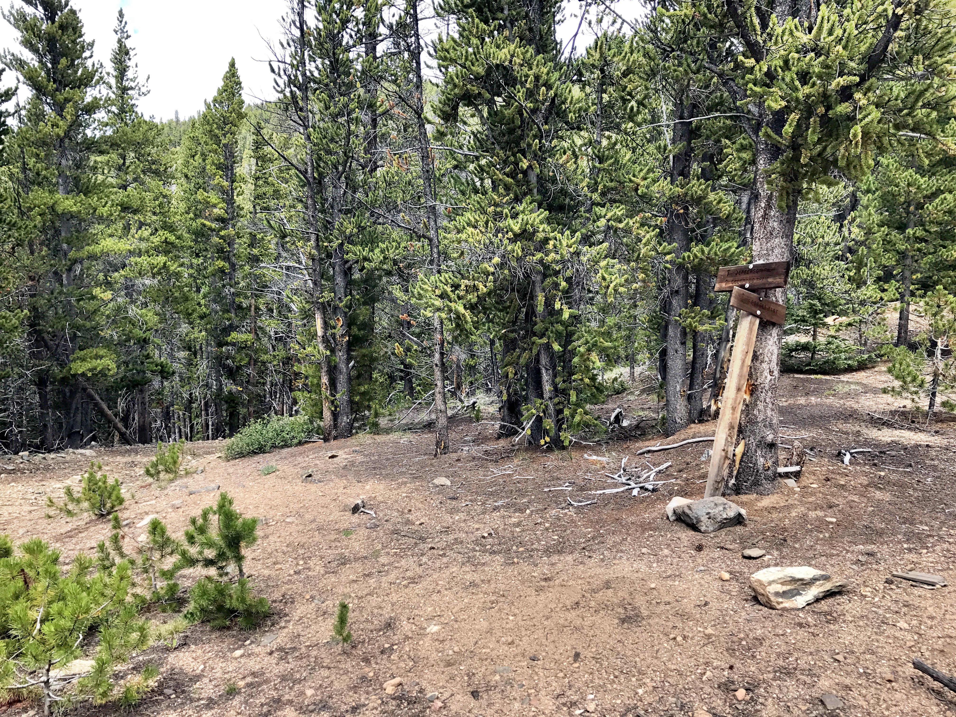
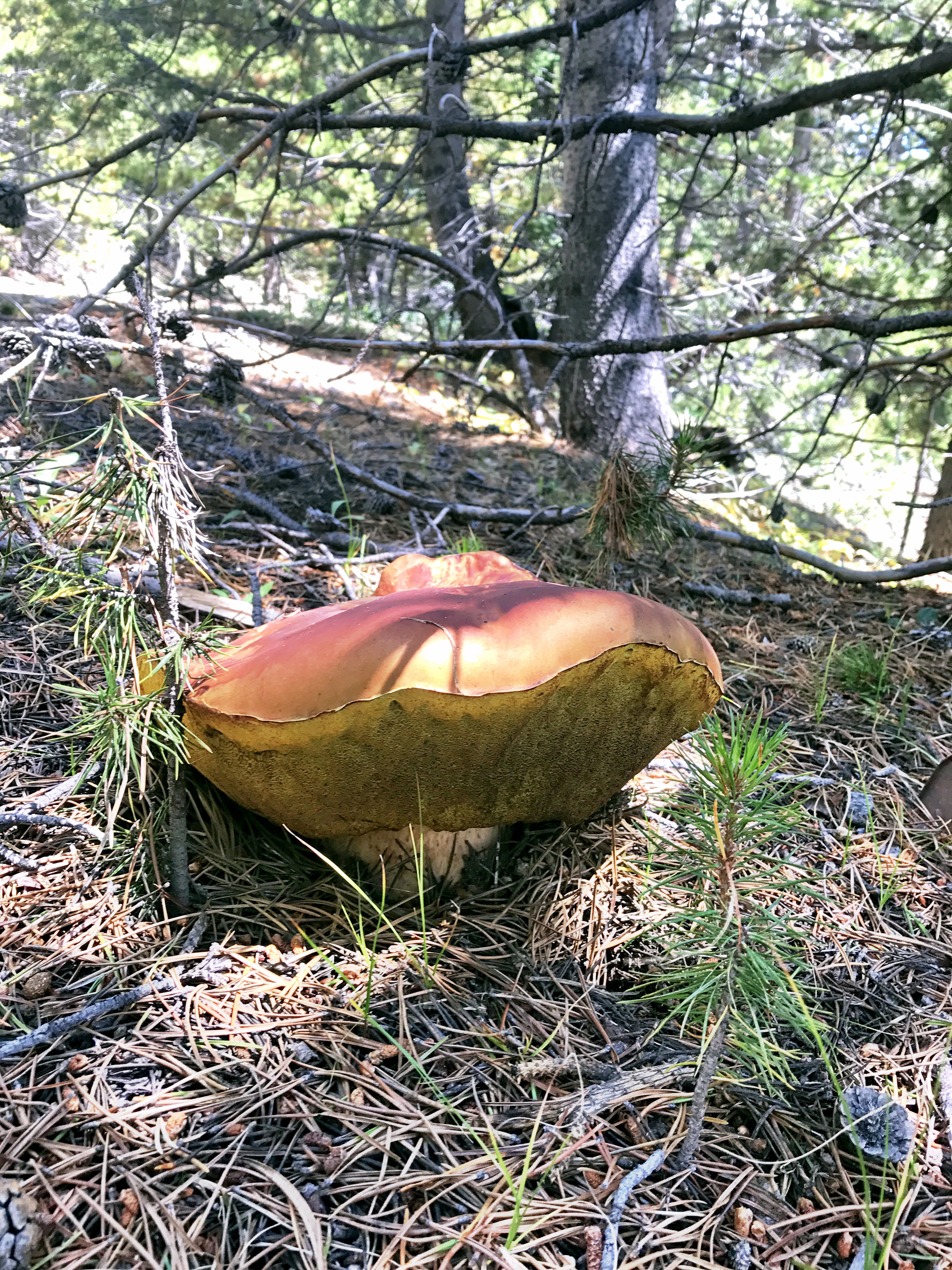
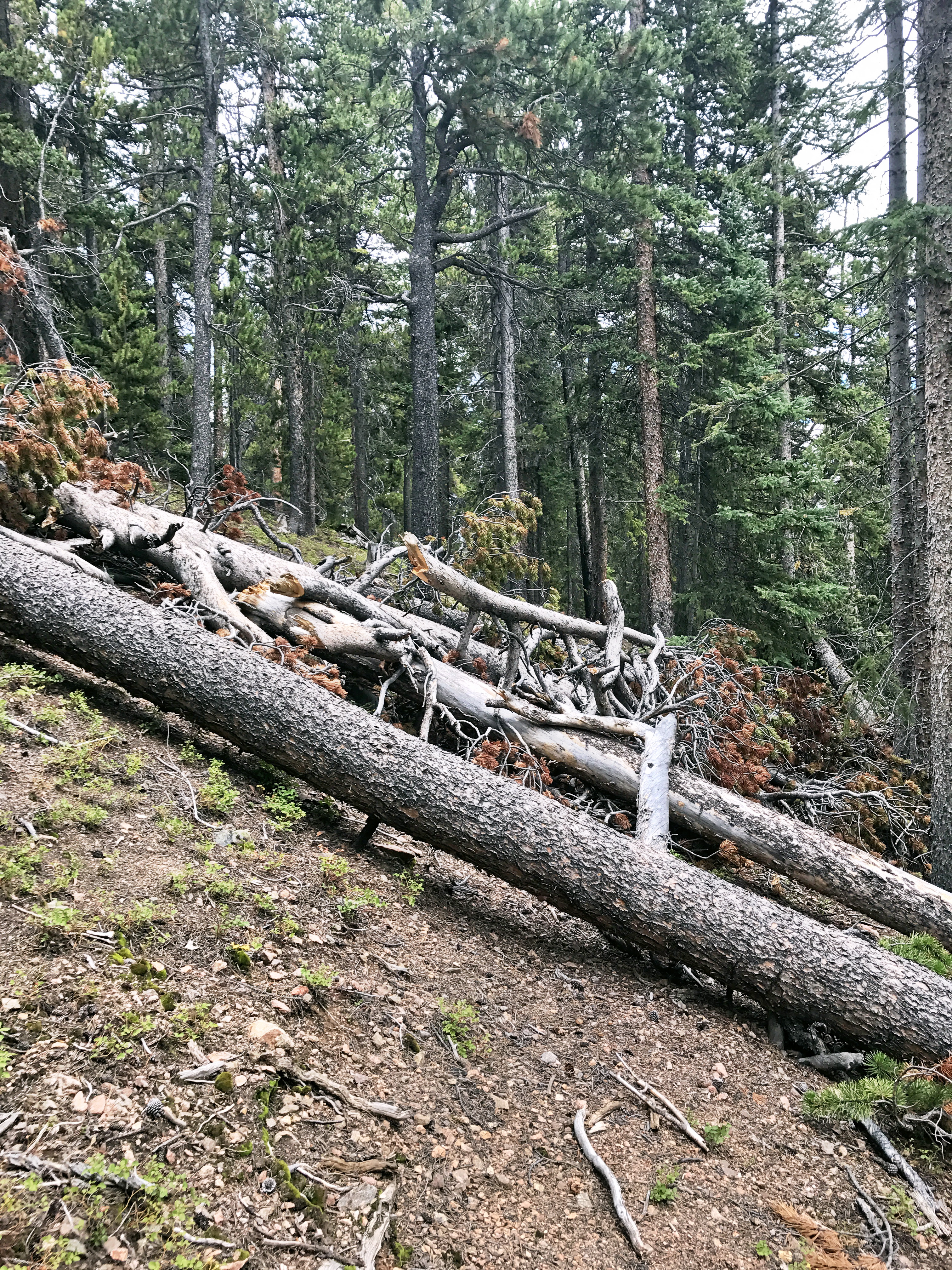
I parked at the Beaver Ponds Picnic area in the Jefferson Lake Recreation Area. The Colorado Trail crosses just before the small parking area. *Note* There is a $7 daily use fee for Jefferson Lake Recreation Area (best $7 I’ve spent in a long time!).An early section of trail…a cool 40 degree start and a beautiful day.Mt. Guyot a little before breaking treelineEarly views of Mt. GuyotEarly views of Mt. GuyotAwesome shadows on Mt. Guyot early in the day too!Guyot from the Georgia Pass high point…the lighting on the peak was awesome!From the top of Michigan Creek RoadI wasn’t exactly sure which side of the diamond I wanted to head up, so I headed down the road to see what made sense.I chose to head down the first spur below the pass sign and ended up running into this! No idea what it is really, but fun!It turned out that the trail straight off the top of the pass would’ve been easier. I decided to just head straight up for the ridge instead of bother backtracking though.Mt. Guyot was every bit as rocky as it looked from below. There were periodic cairns and wooden posts, which seemed to indicate a slightly easier route up. I pretty much just headed straight up though since it was really just a big pile of rocks.Pano on the way up…gorgeous views!A rare selfie…extreme close-up!Midslope…Georgia Pass below.More rocks! Slow going since a lot of the rocks were loose. You can tell that traffic on this mountain is on the lower side.Pano of the final ridge across…Summit achieved!…Great views of close by Bald Mountain (13,684′)! Pacific Peak (13,950′) and other high 13ers in the distance with Breckenridge Ski Area and the town to the right.Zoom on BreckenridgeSummit shot looking back at the route up and Georgia Pass.Another great view of high summits! Looking back toward Grays & Torreys, etc.I didn’t find a summit register, but there was a tube with an old 13ers.com sticker.Bald MountainA good overview of my hike. The right-most road was where I found the mining equipment. The left road would’ve been the easier route.A look back down.I decided to head back down the other side of the diamond since I was curious if it was easier. It was still very rocky, so I don’t think it would’ve been easier. Also, it was a little further off the road and required crossing some marshy terrain.A look across at the ridge I took to the summit!Mt. Guyot in the backgroundMt. Guyot in the backgroundHere is a look at the ridge I took on the way back down once I made it back to Michigan Creek Road.Crashed out buildingI was planning on running down the road and picking up a cut-off to get back to the Colorado Trail. This trail was angled perfectly to hit the cut-off point, so I figured I’d give it a shot. It worked out perfectly and was a lot more fun than running on the road.A beautiful view back up at the peaks!There is pretty good signage in the area given its proximity to the Colorado Trail. The cut-off linked into the Colorado Trail a few miles up from the day’s starting point.A large shroomThe cut-off over to Colorado Trail was pretty good overall, but had a fair amount of down timber as well. Luckily, it contoured around nicely as well and didn’t require much additional climbing.