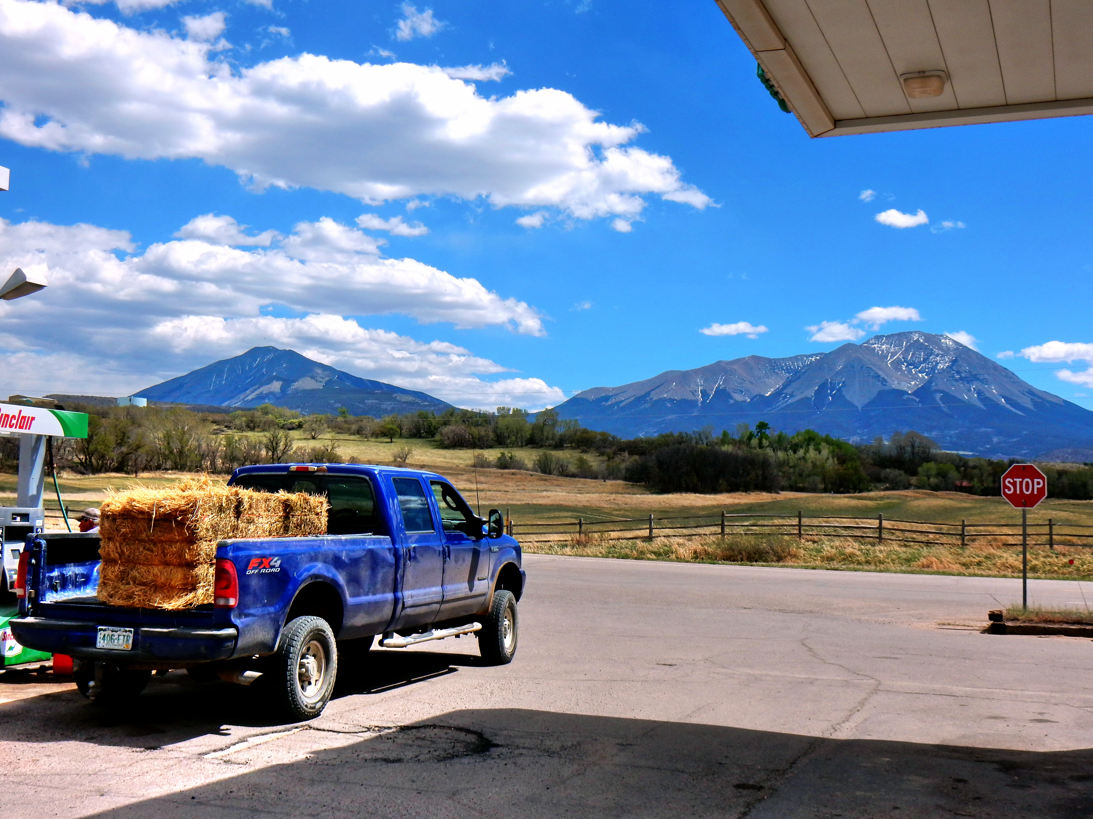
Well, I’ve never regretted climbing a mountain! This was the thought process as I pondered driving over three hours down to West Spanish Peak. I decided to skip this climb/hike last week and I was sort of bummed. With my classes starting back up, it was clearly time to go for it! Plus, the weather forecast looked amazing and my 14ers.com intel told me that the route should be snow free.
So, why climb West Spanish Peak? Well, it is a peak that I’ve gazed upon with awe on several other climbing trips over the years. It is Colorado’s 183rd highest peak at 13,626’, but the mountain’s prominence makes it rise above the crowd. (**If you aren’t familiar, prominence is basically a measure of a summit’s isolation or independence from other mountains. In other words, it is the peak’s height compared to its lowest independent contour**). In fact, it boasts a prominence of 3,686’, which makes it the 12th most prominent in Colorado. (Another side note…just south of Pueblo on I-25, another mountain caught my eye with freshness. This turned out to be Greenhorn Mountain (12,352’) of the Wet Range, which is the 11th most prominent summit in Colorado).
The mountain’s prominence makes the Spanish Peaks a striking presence from many miles away in all directions. The Spanish Peaks are technically part of the Sangre de Cristo Range (most specifically the Culebra sub-range), but they truly dominate the area. Ok, I referred to the plural twice; so, I should mention East Spanish Peak now as well! East Spanish Peak is only 12,684’, but is a dramatic and beautiful peak in its own right. From a distance, East and West Spanish Peaks appear to be somewhat close, but they are at least four miles apart (more on this later!).
Let’s see what else should I tell you? Native Americans (sorry, I don’t know more specifically…I’d guess Apache or Ute) named it Wahatoya (sometimes spelled Huajatolla), which roughly means “breasts of the world”. I drove by a sign on the high way listing a Spanish name as well, but I don’t recall. Anyway, the point is that these mountains made a strong impressive on many distinct groups living in the area. Alright, this is possibly more background than we bargained for, so let’s head to the top of Cordova Pass and get this show on the trail!
Cordova Pass sits at 11,256’ where you will find the West Peak Trail. I anticipated this being a fee area, but there were no pay envelopes left and there were no signs discussing this (maybe just an early season thing, so bring some cash just in case). There is a small campground at the top of the pass as well. There are a few private ranches along the road also.
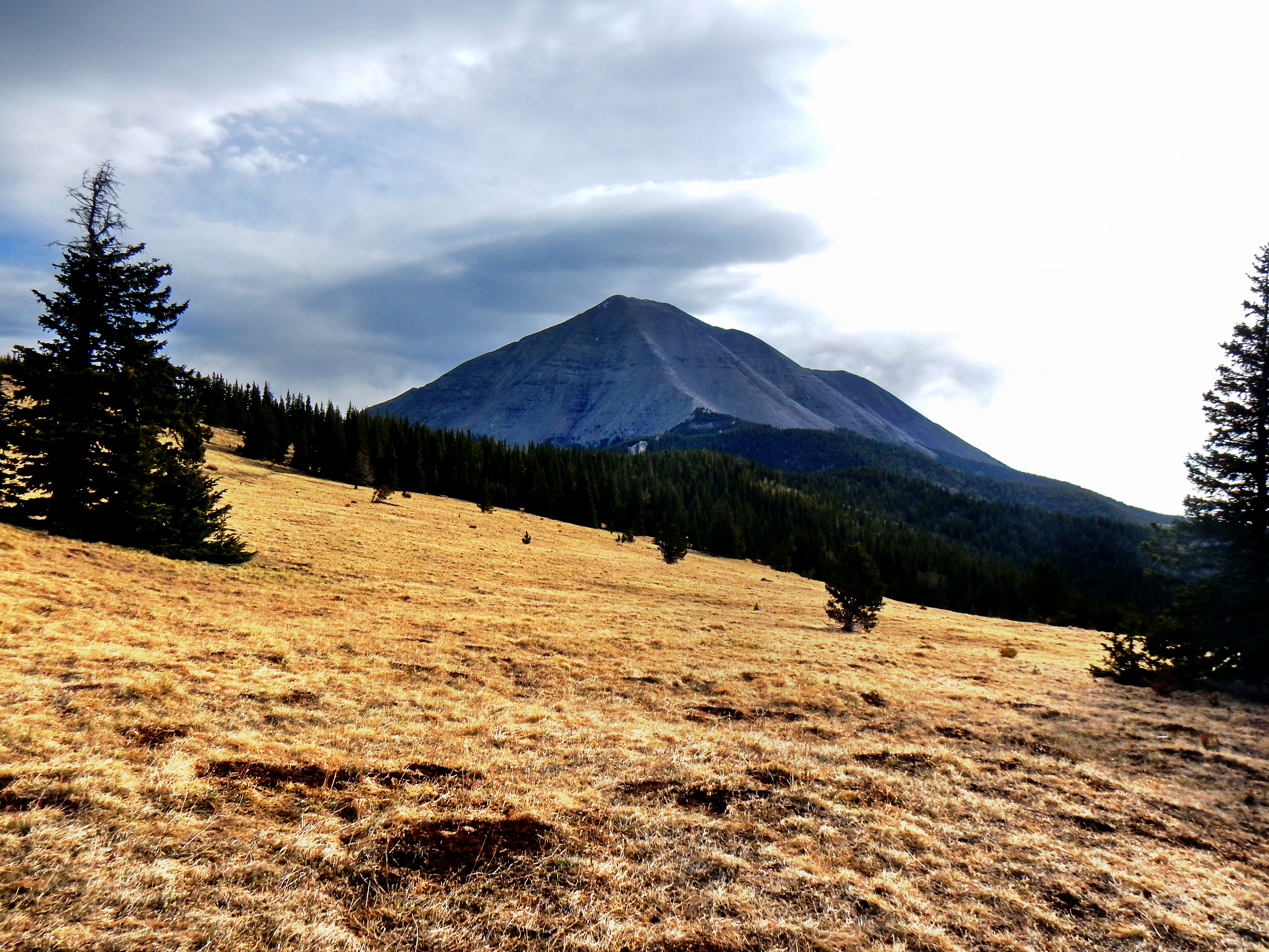
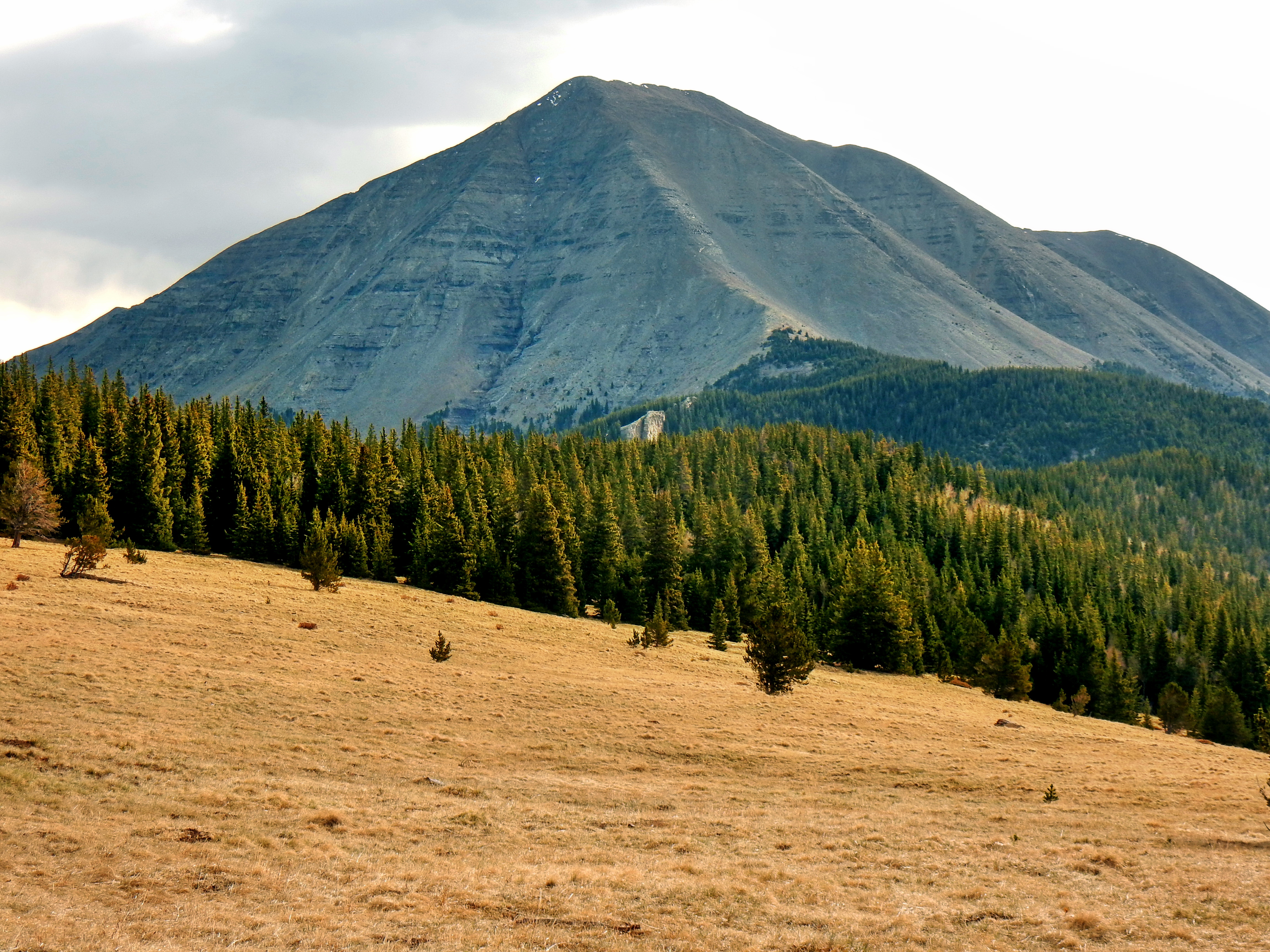
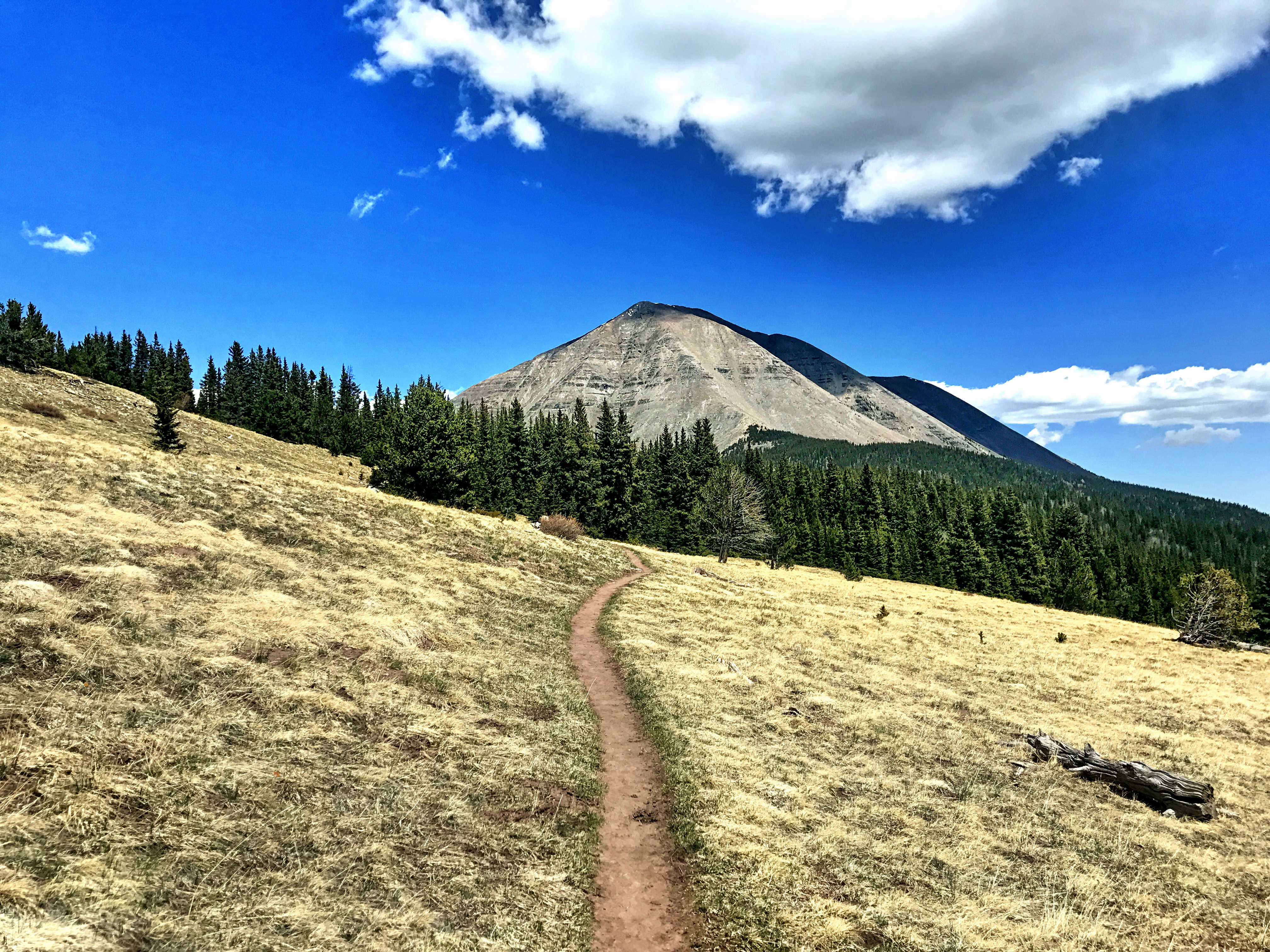
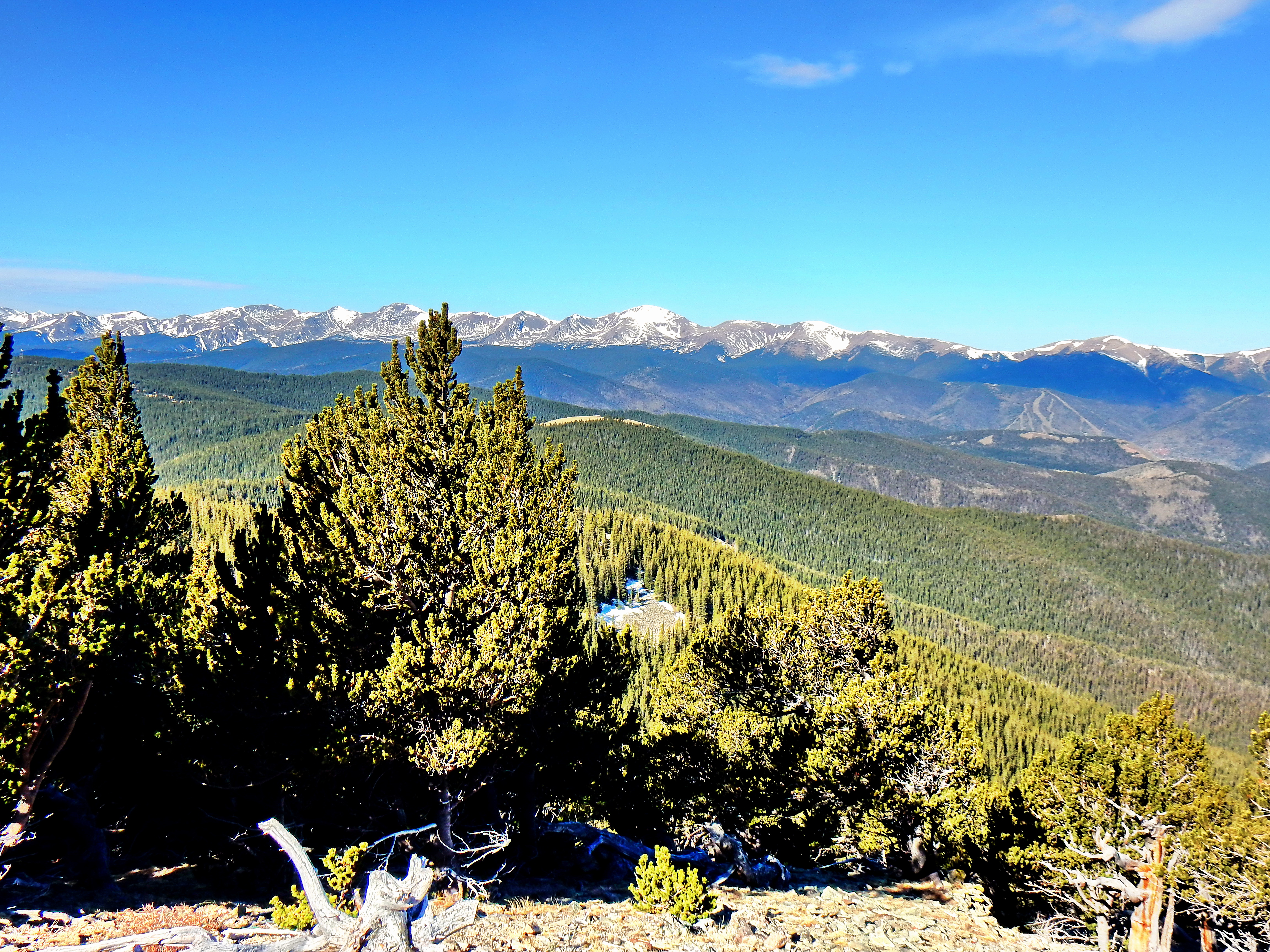
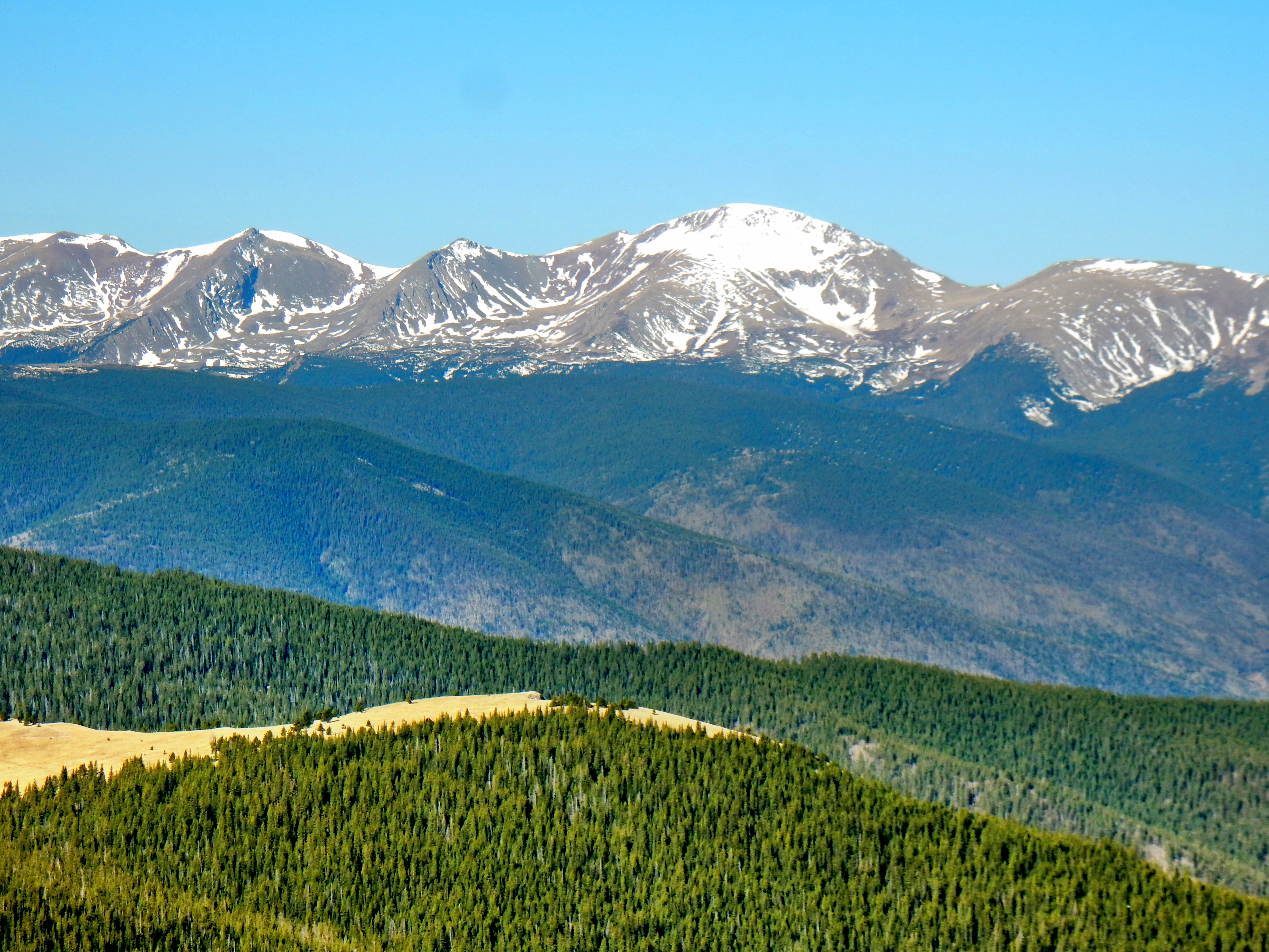
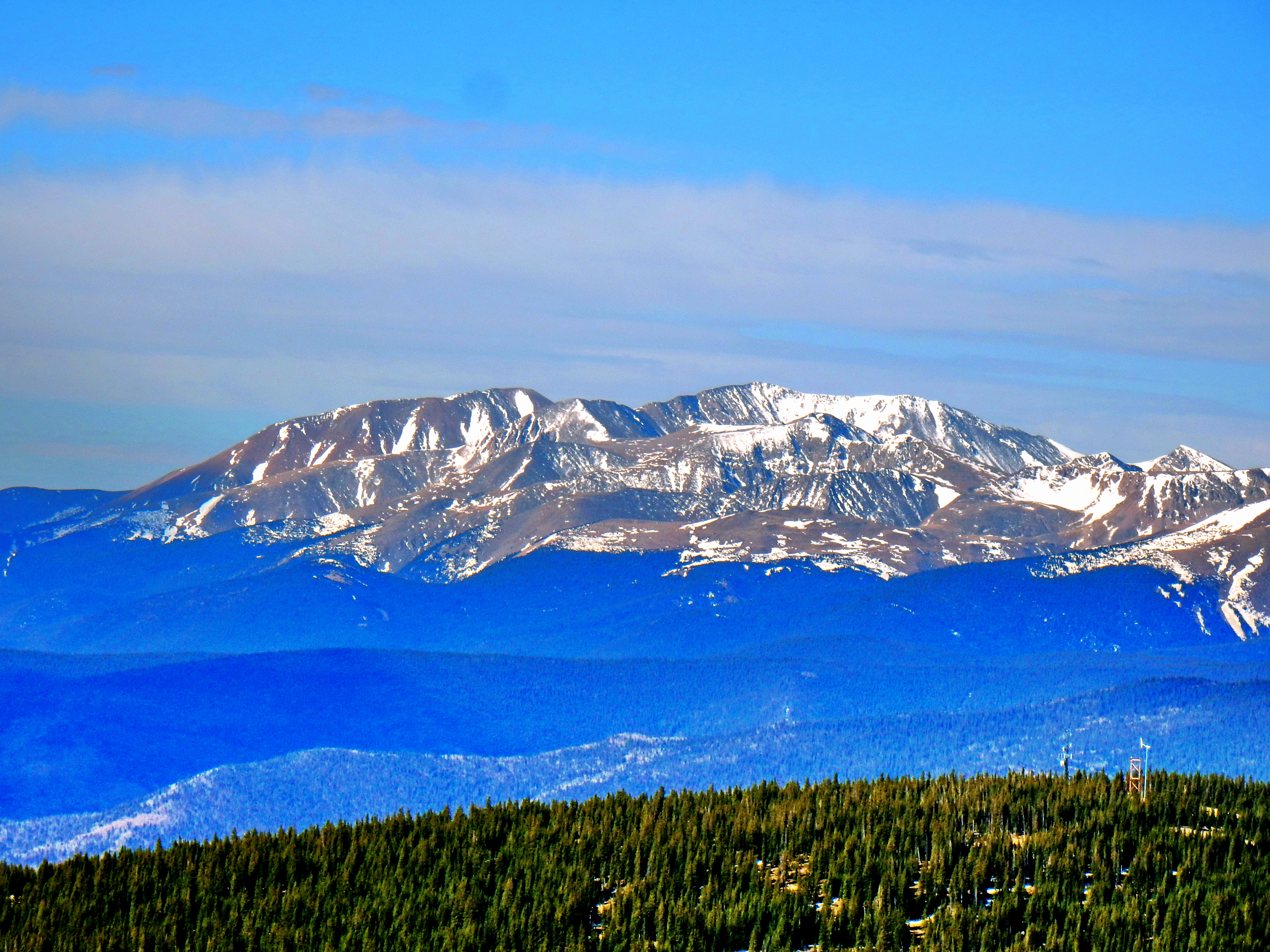
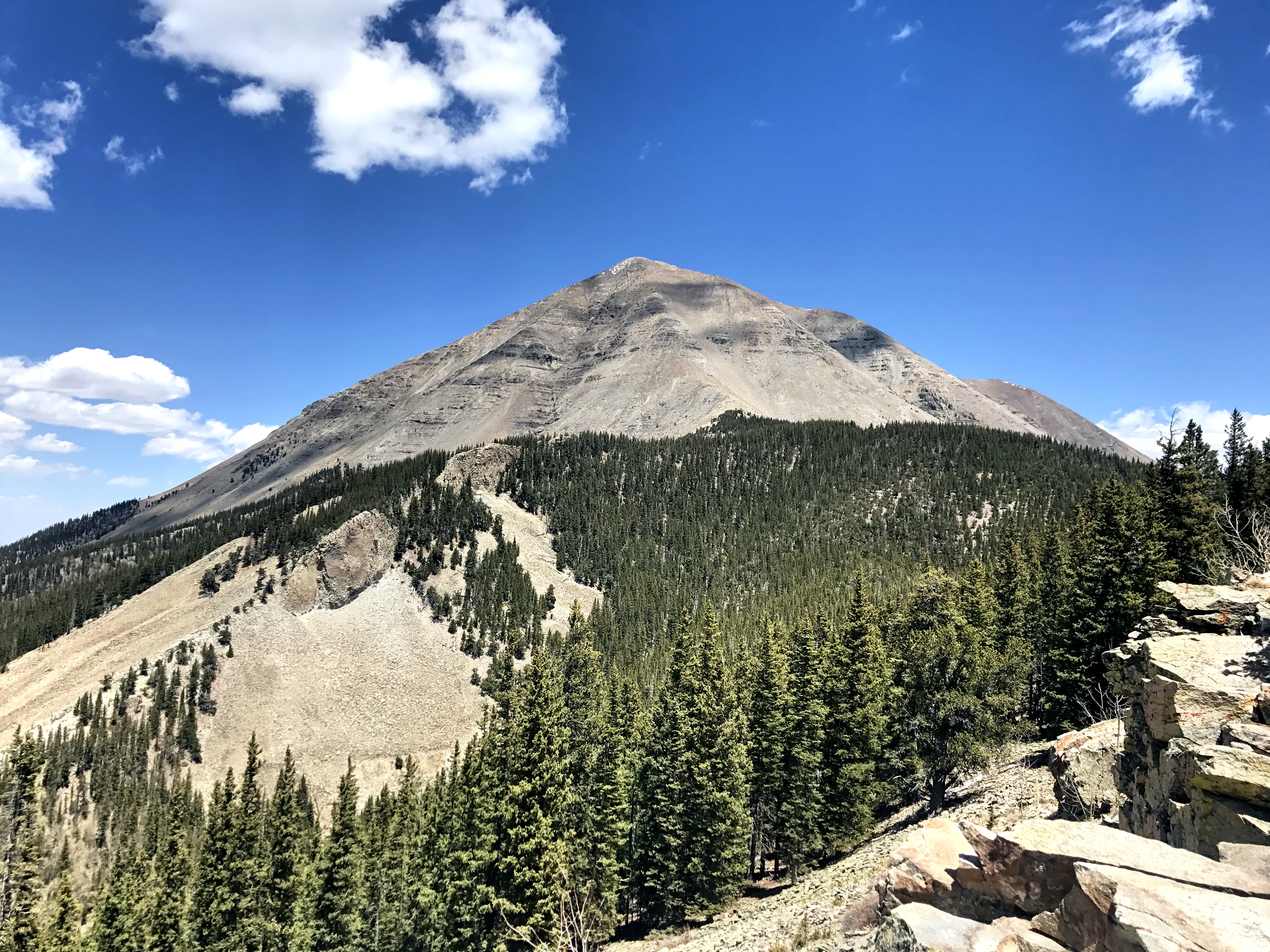
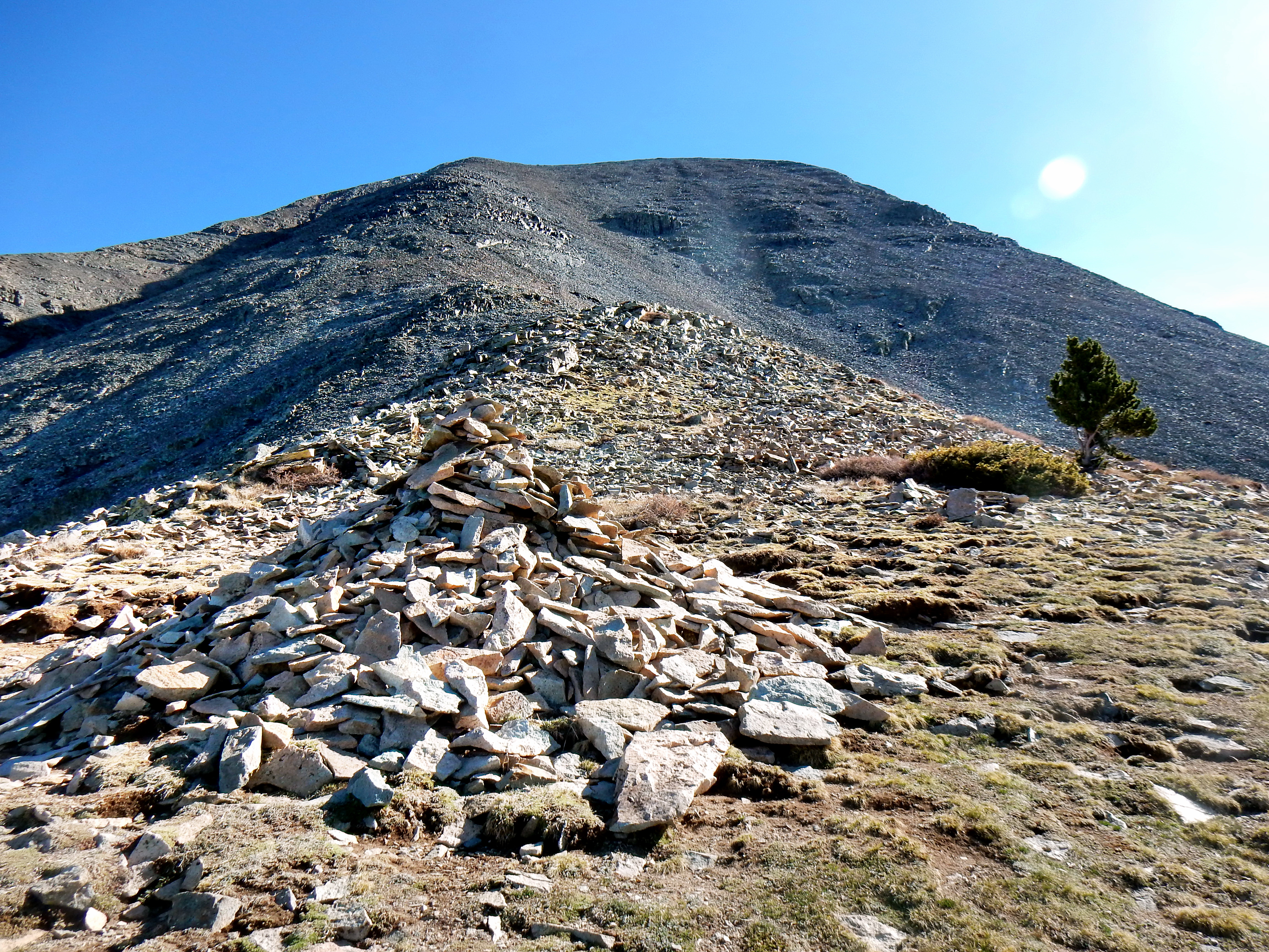
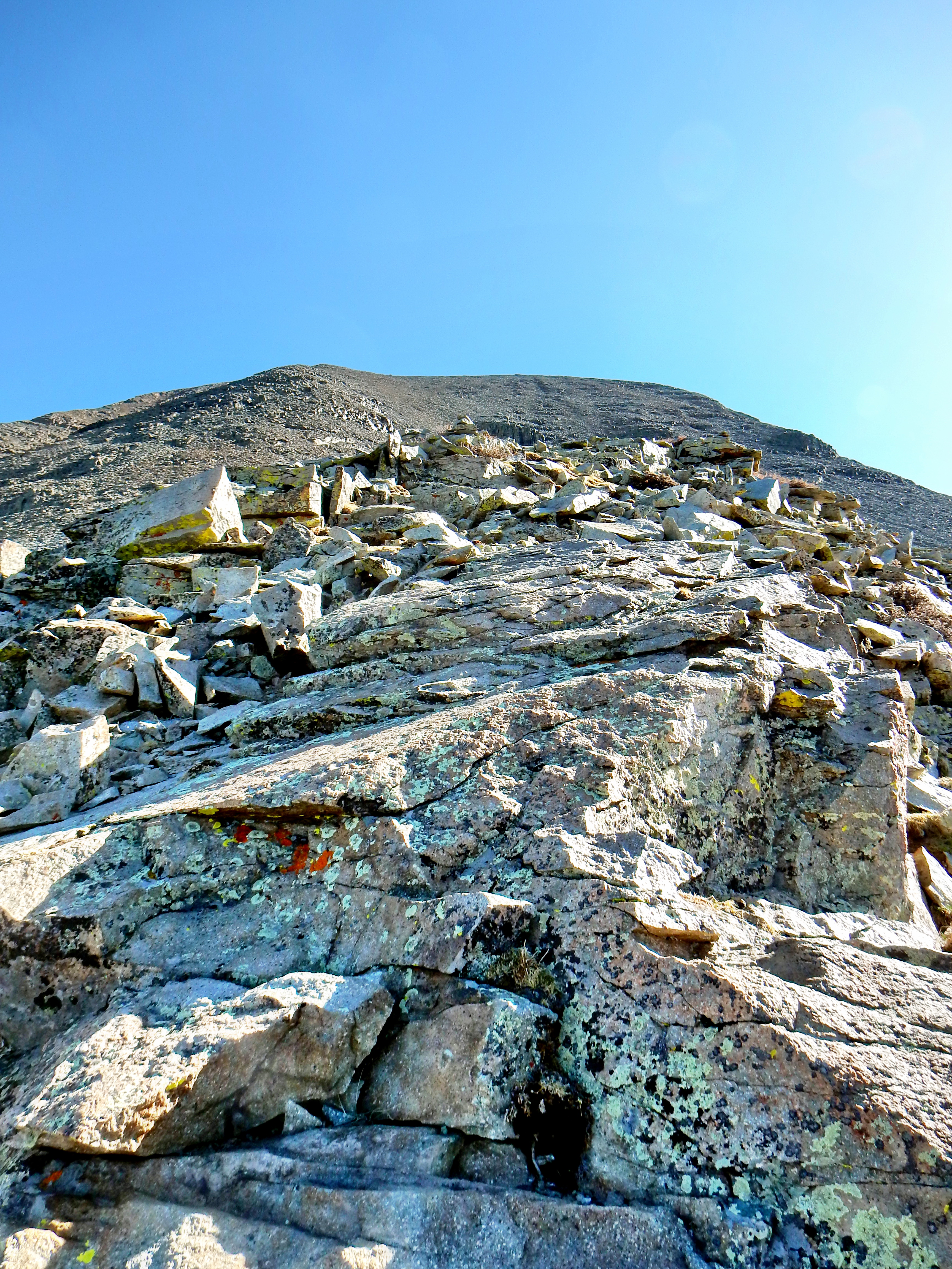
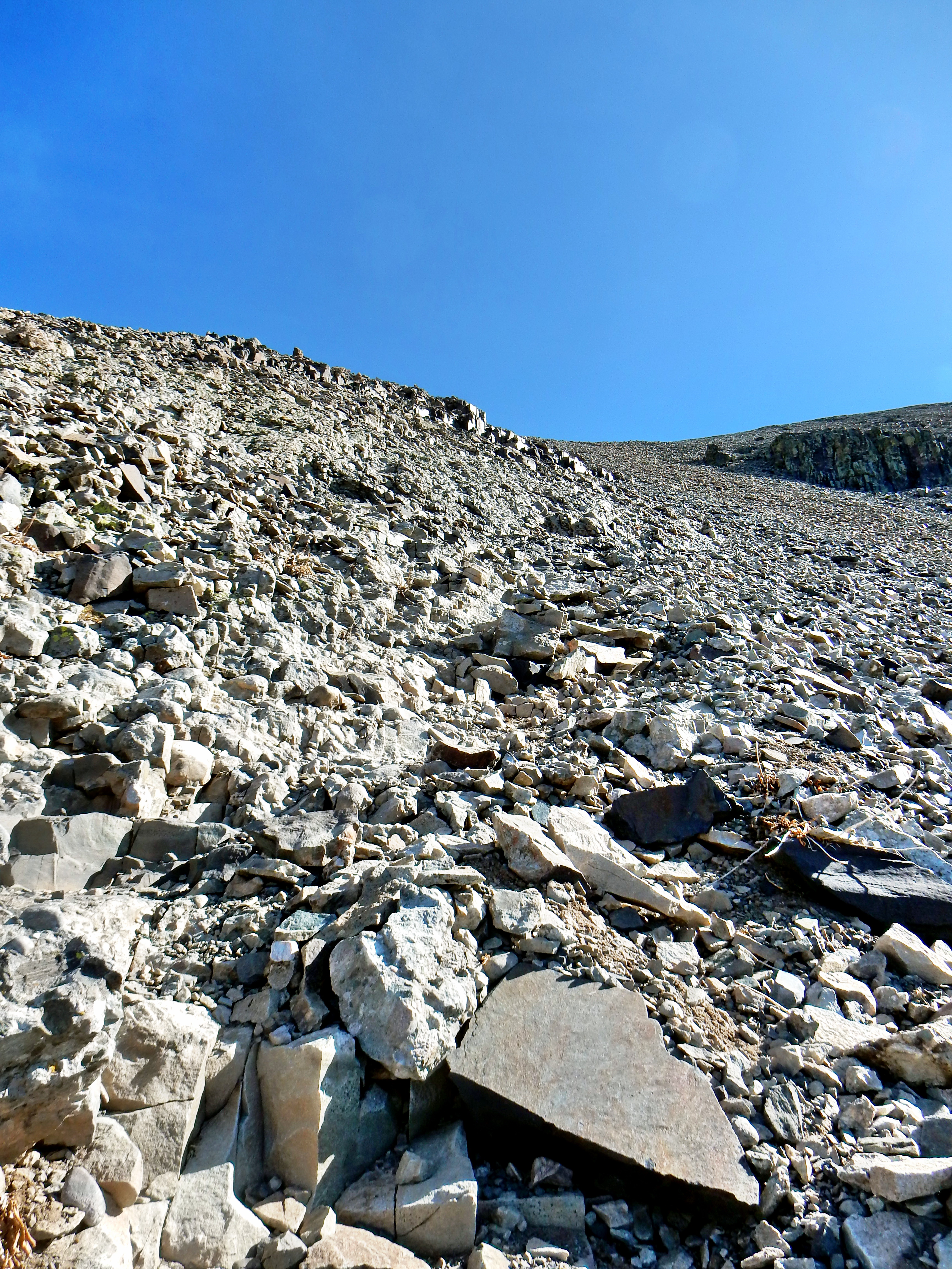
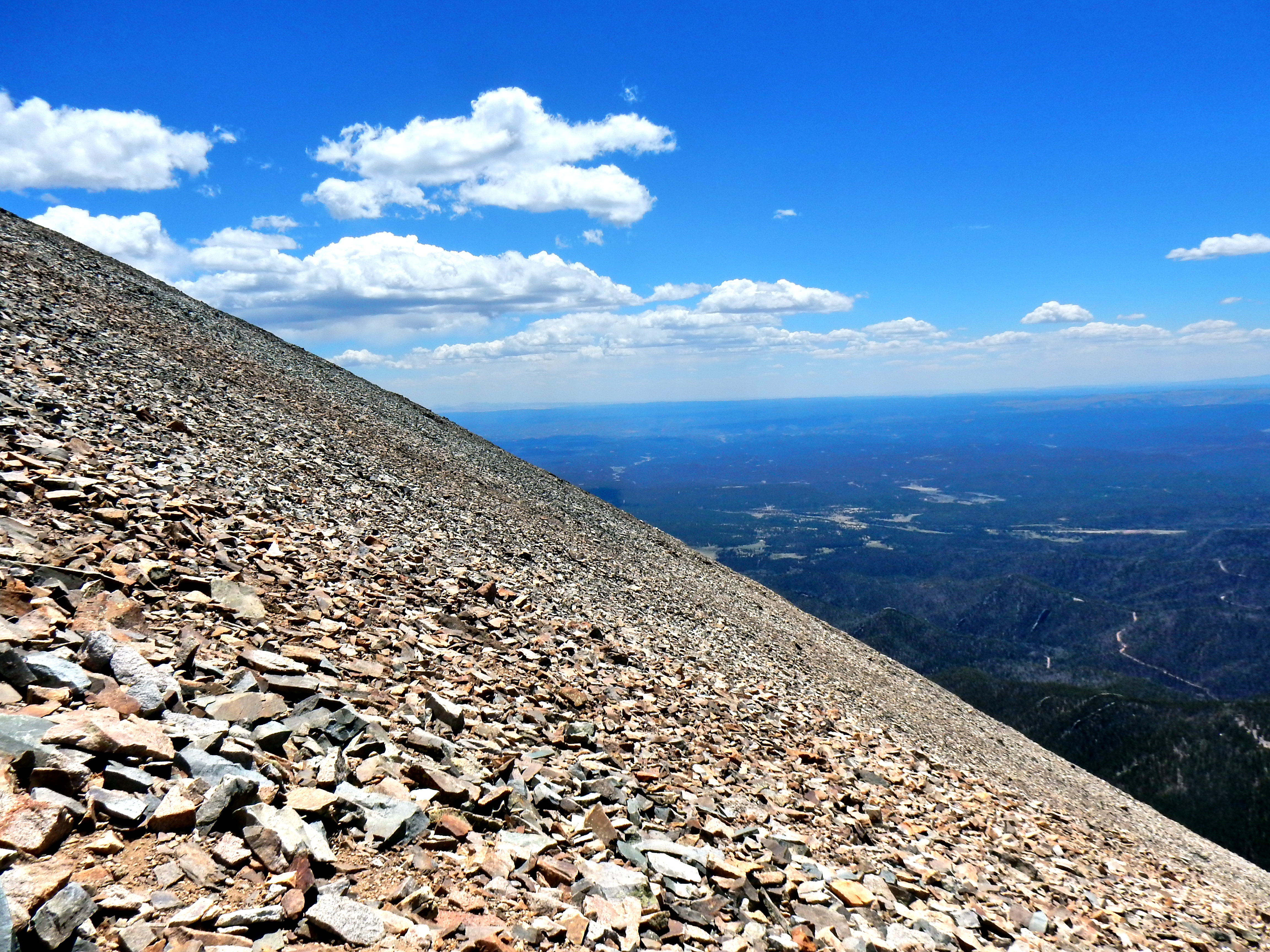
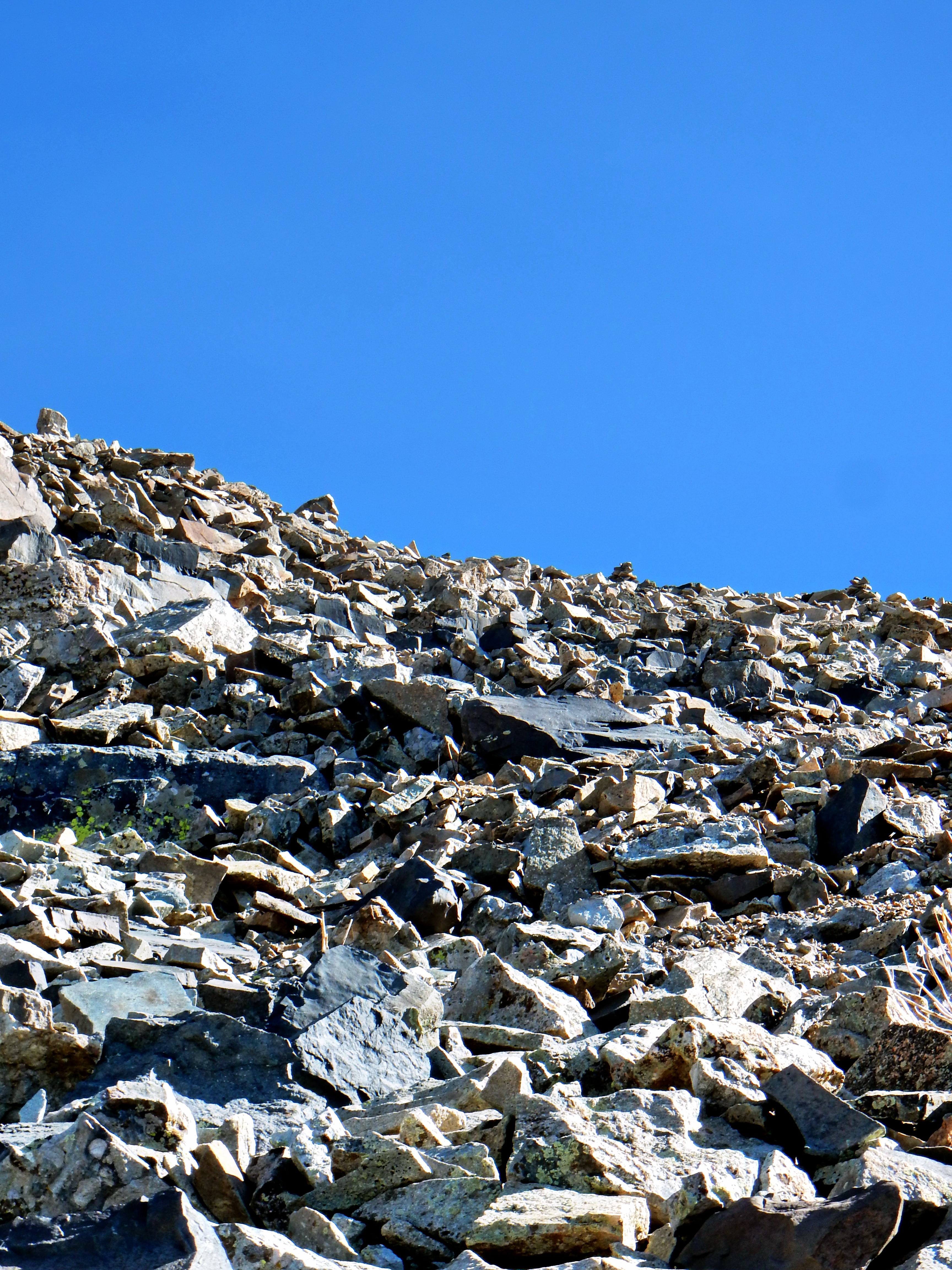
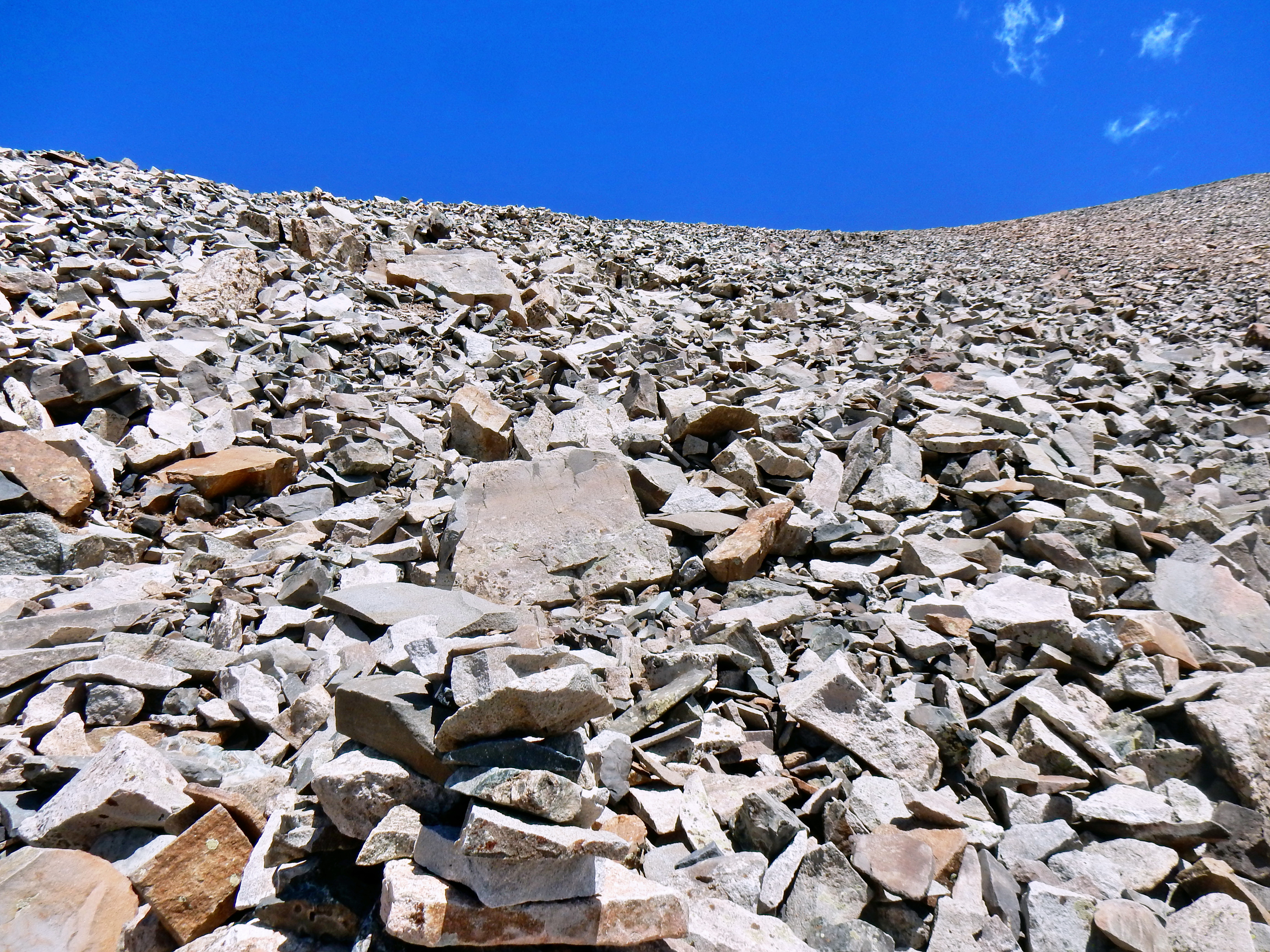
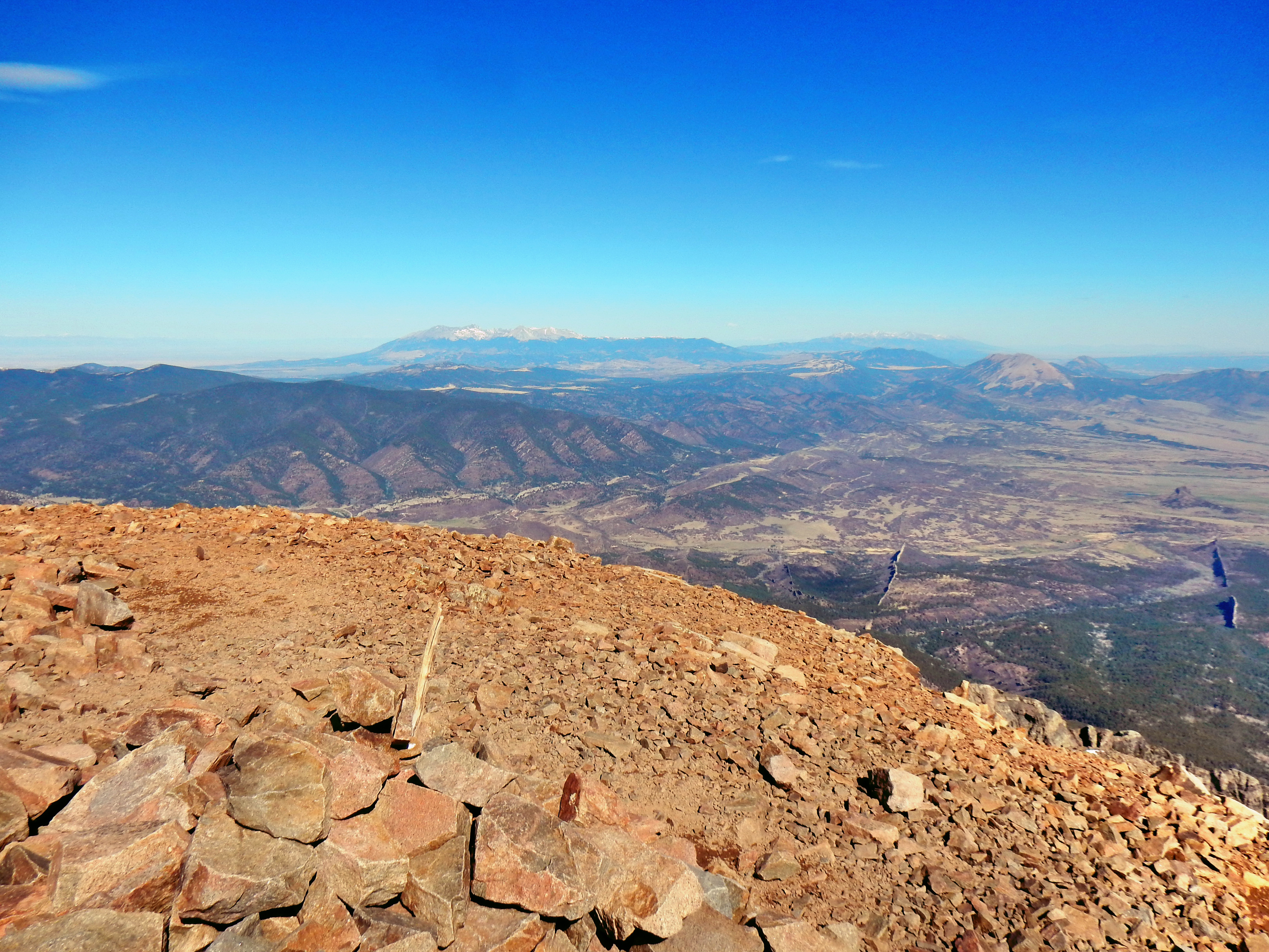
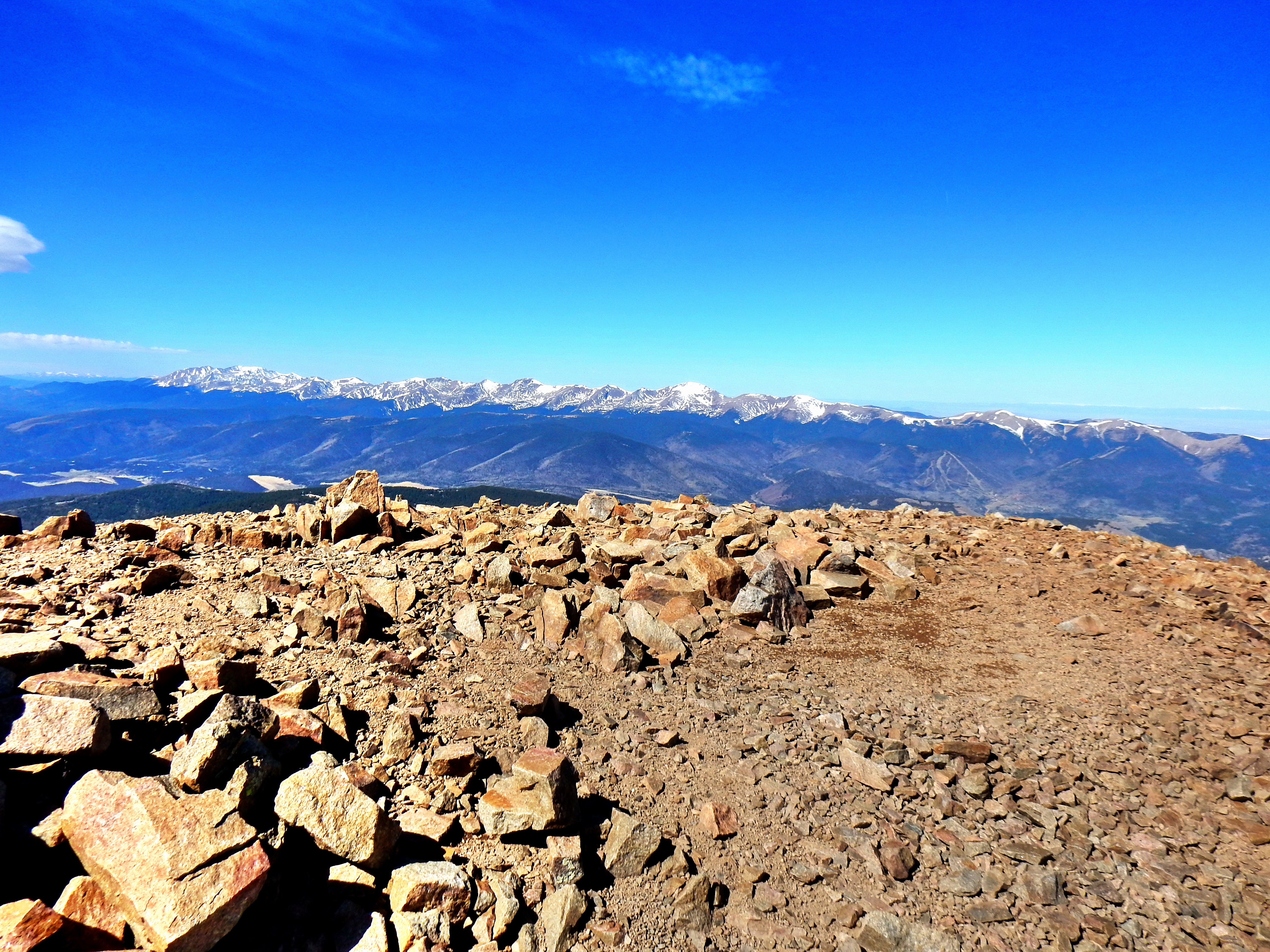
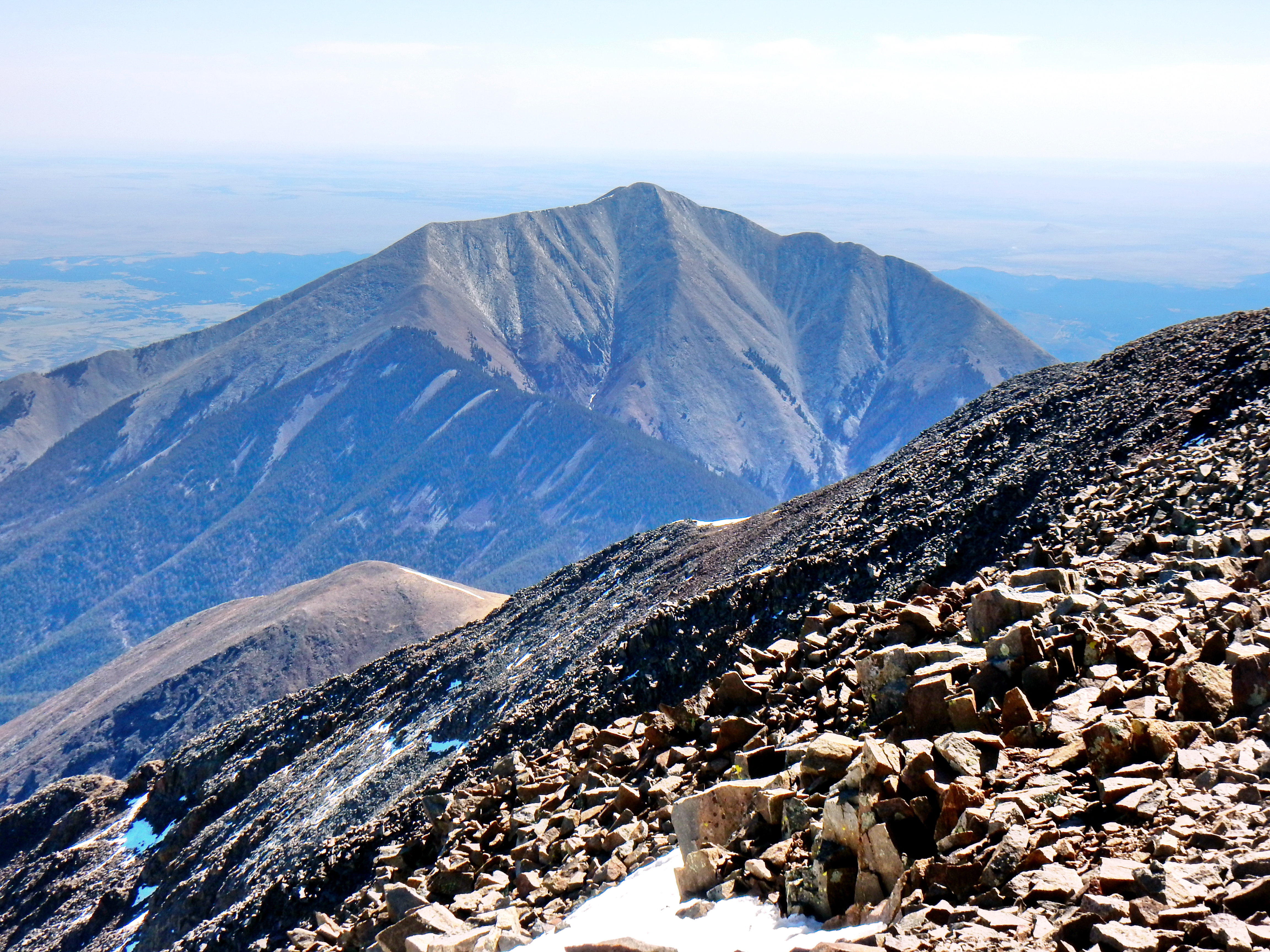
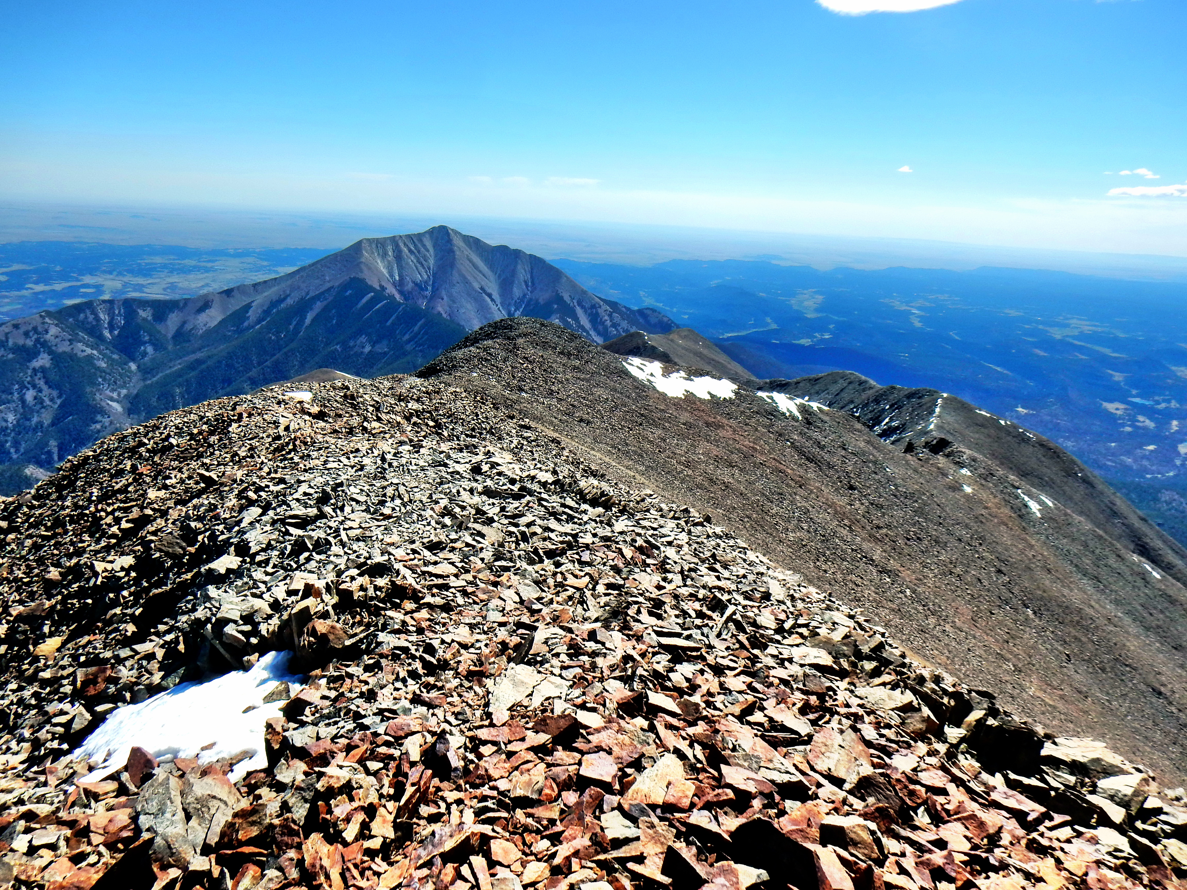
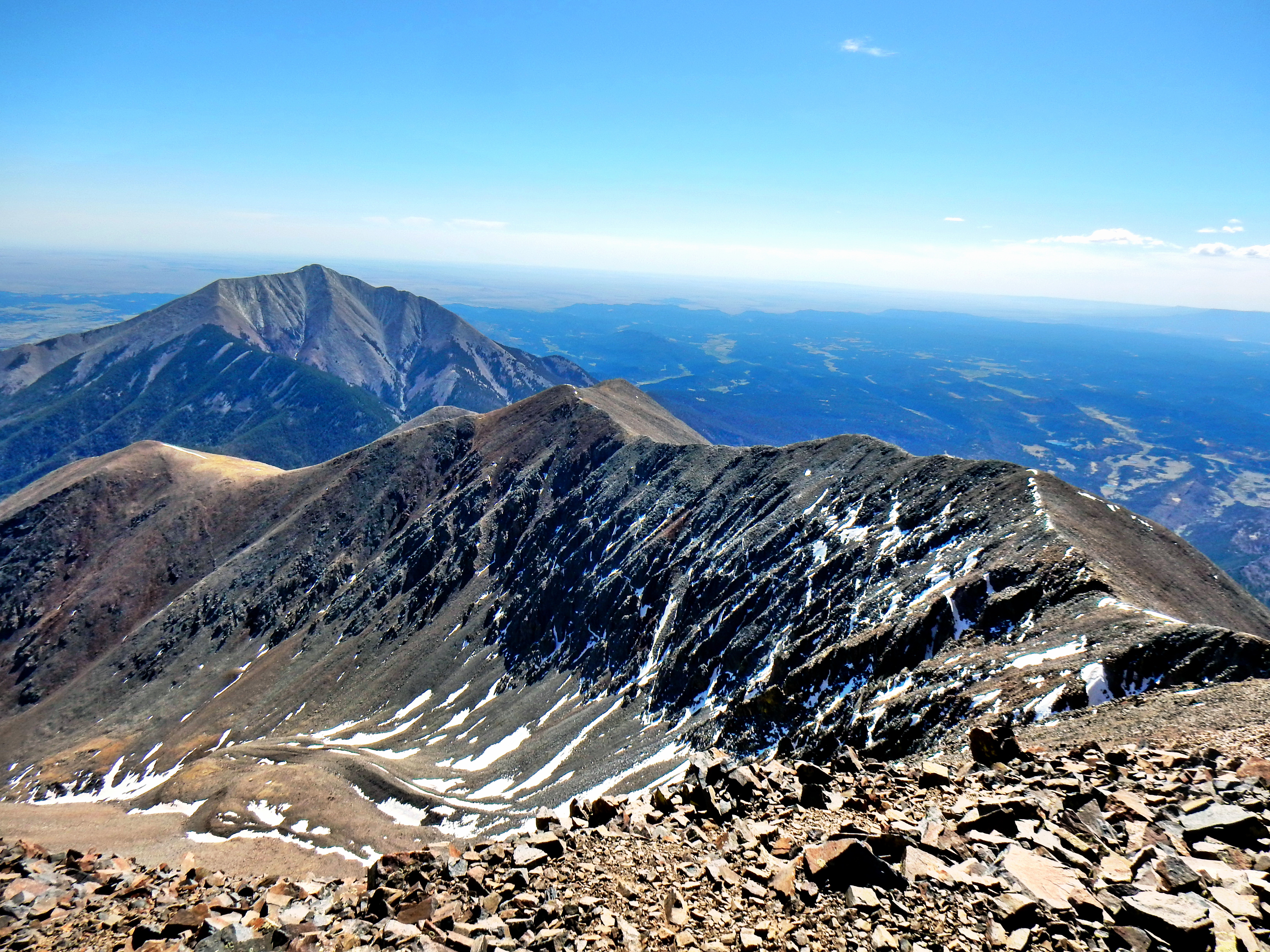
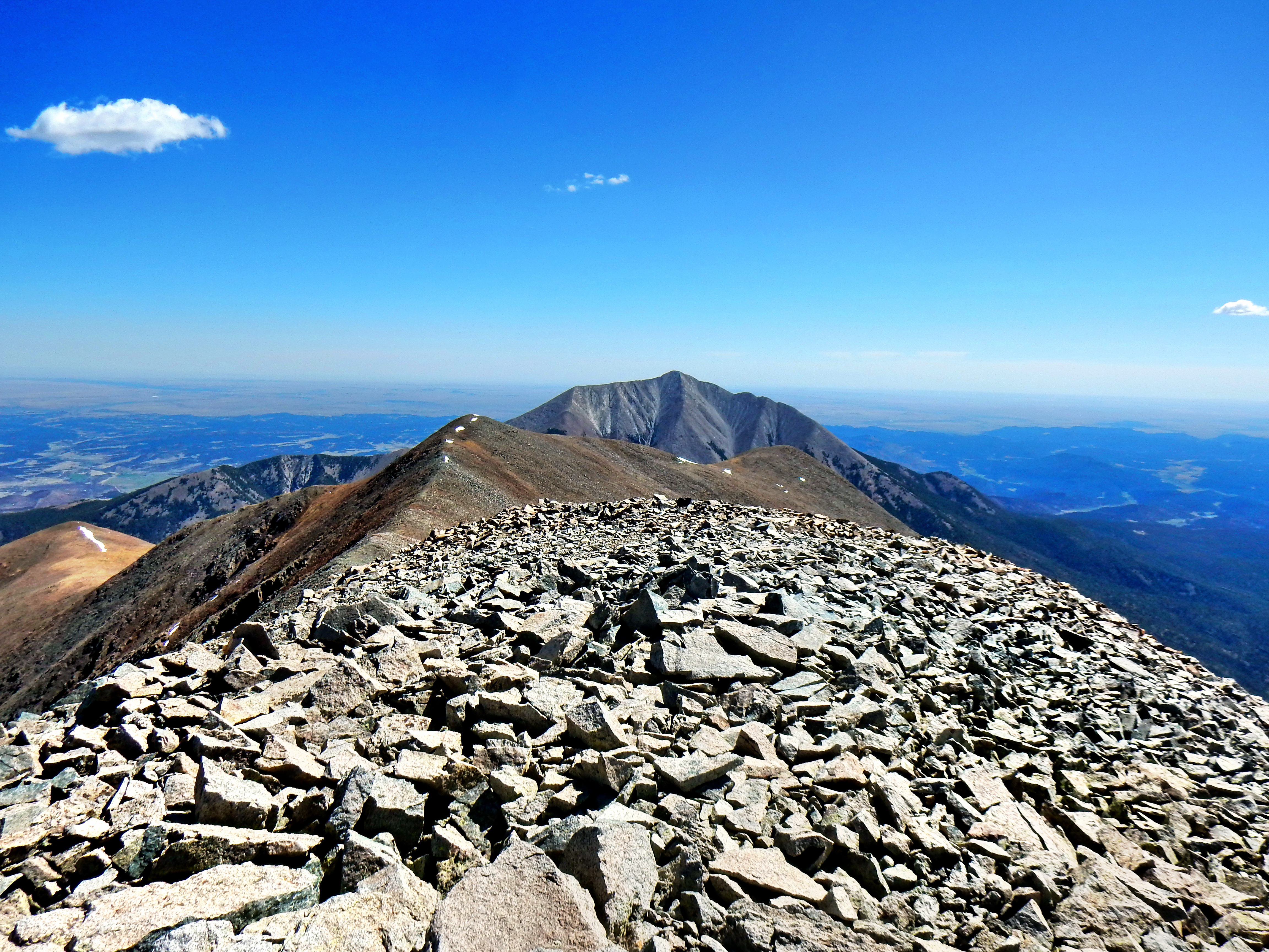
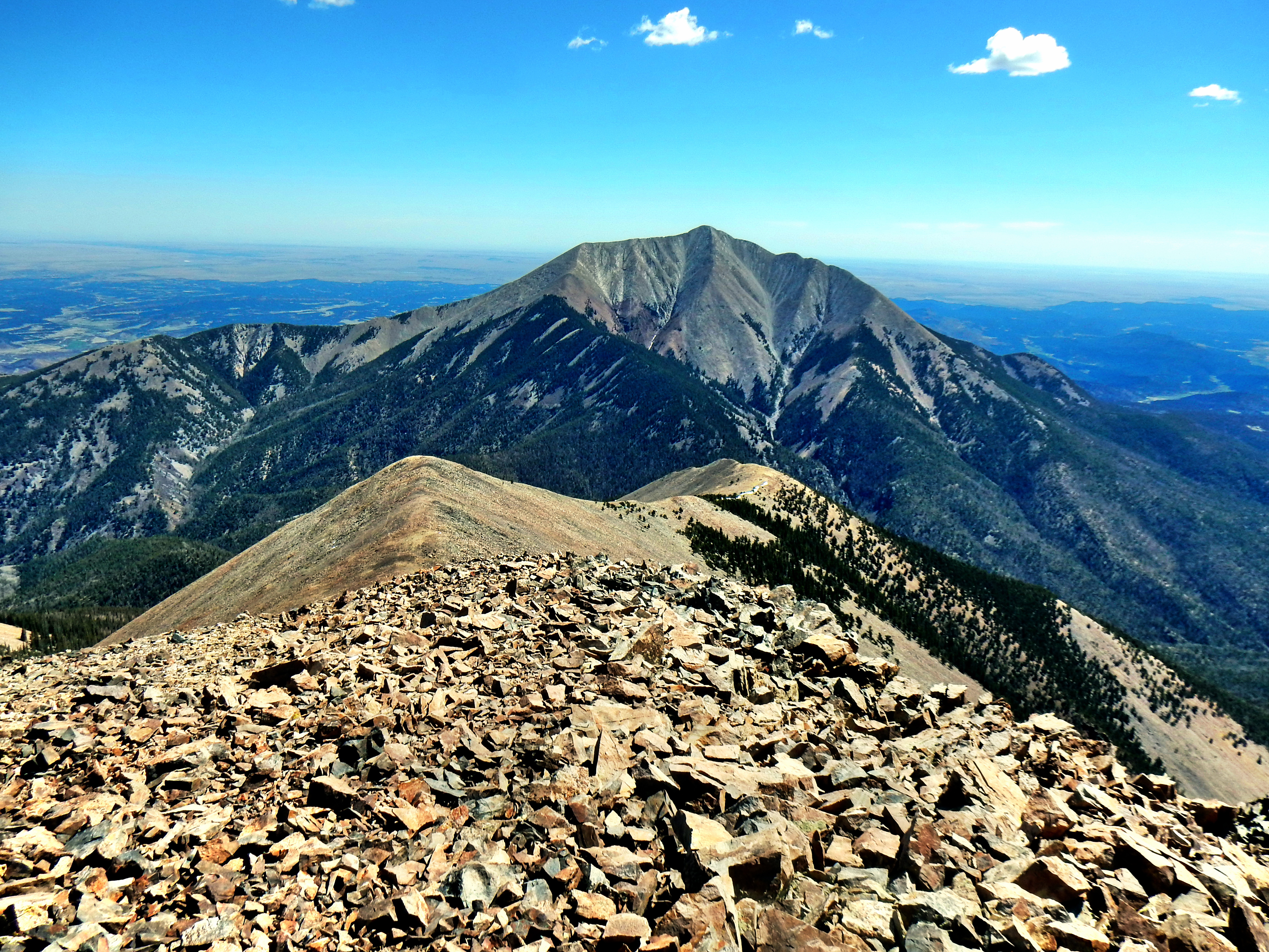
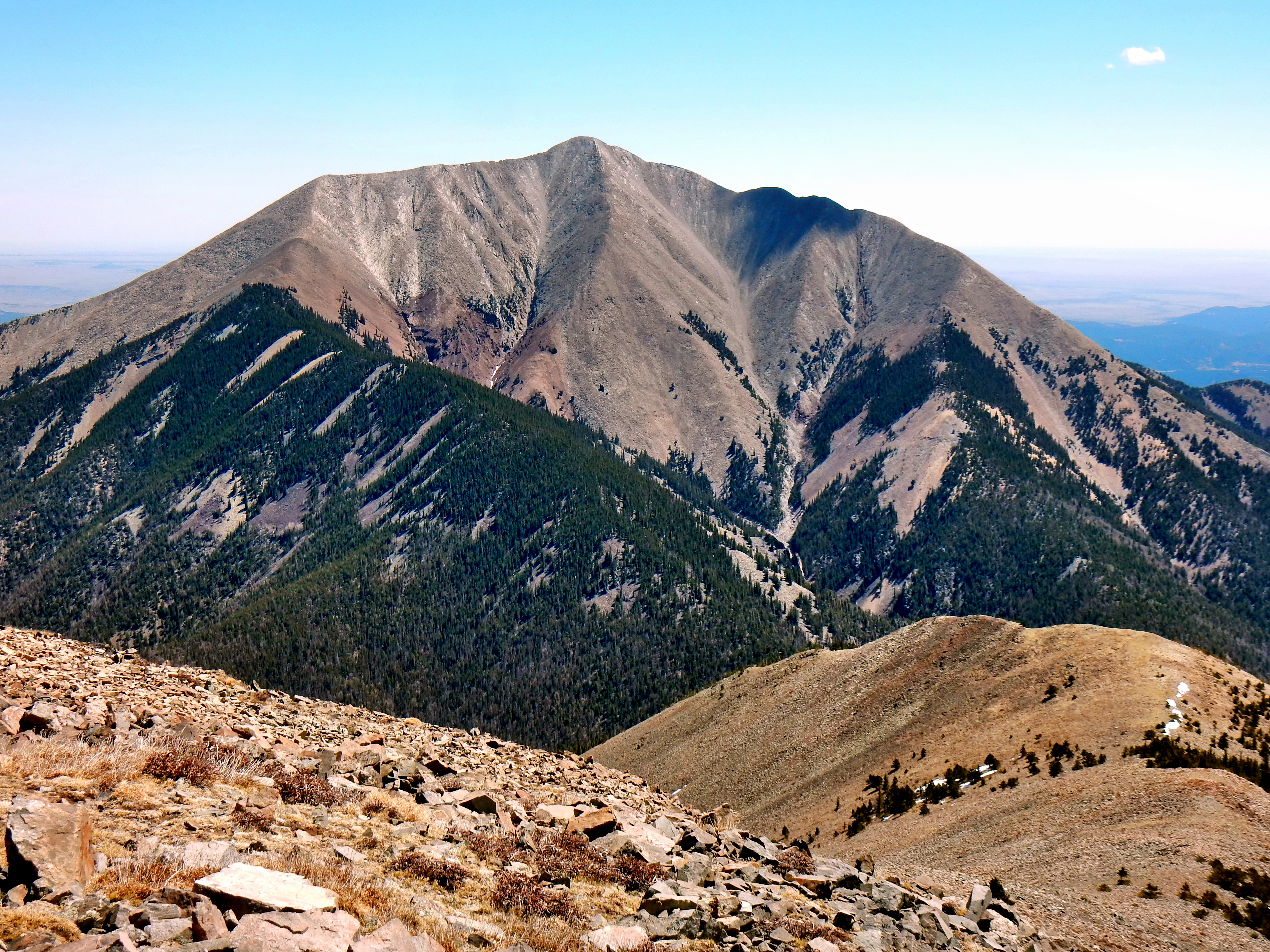
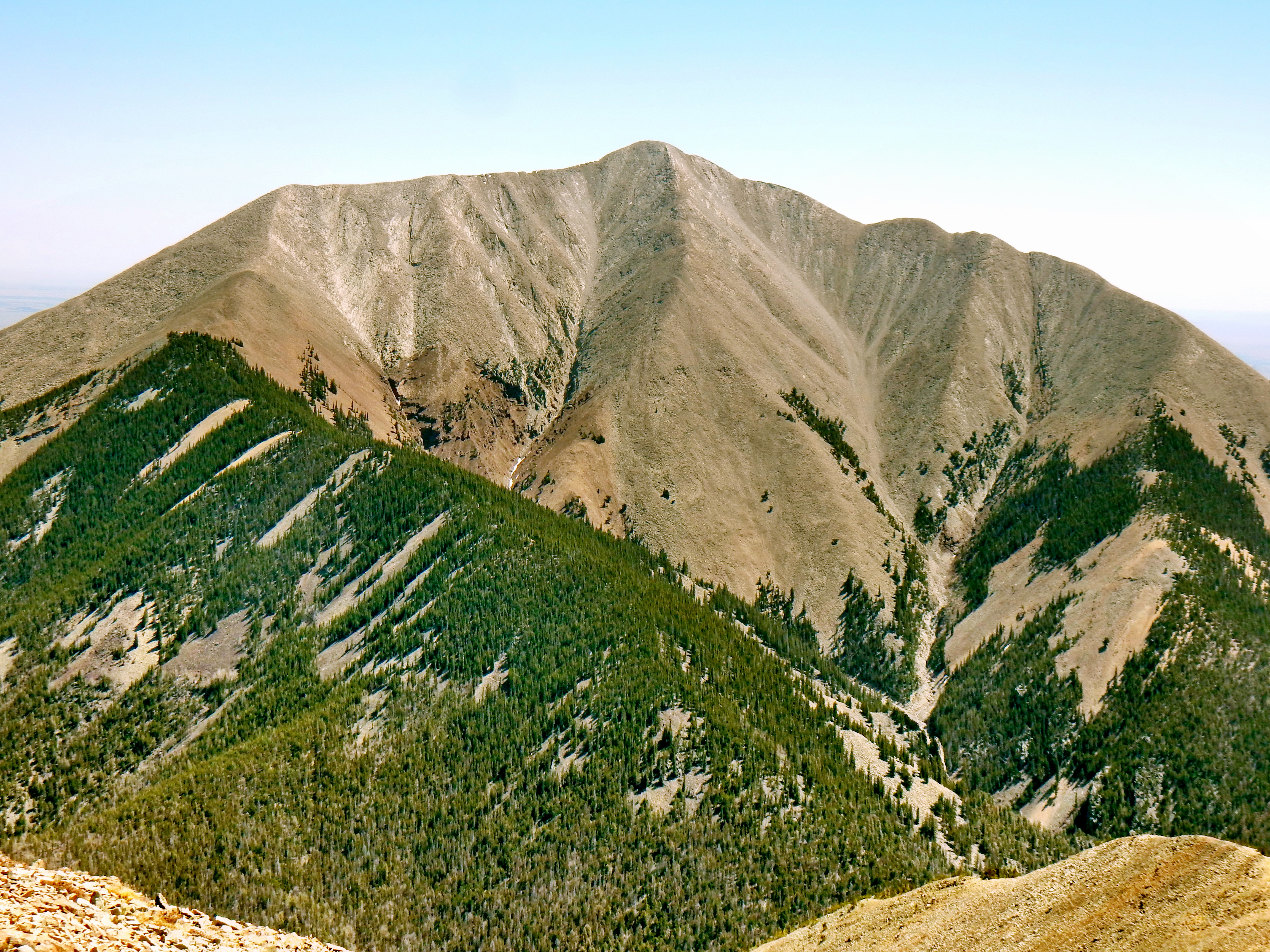
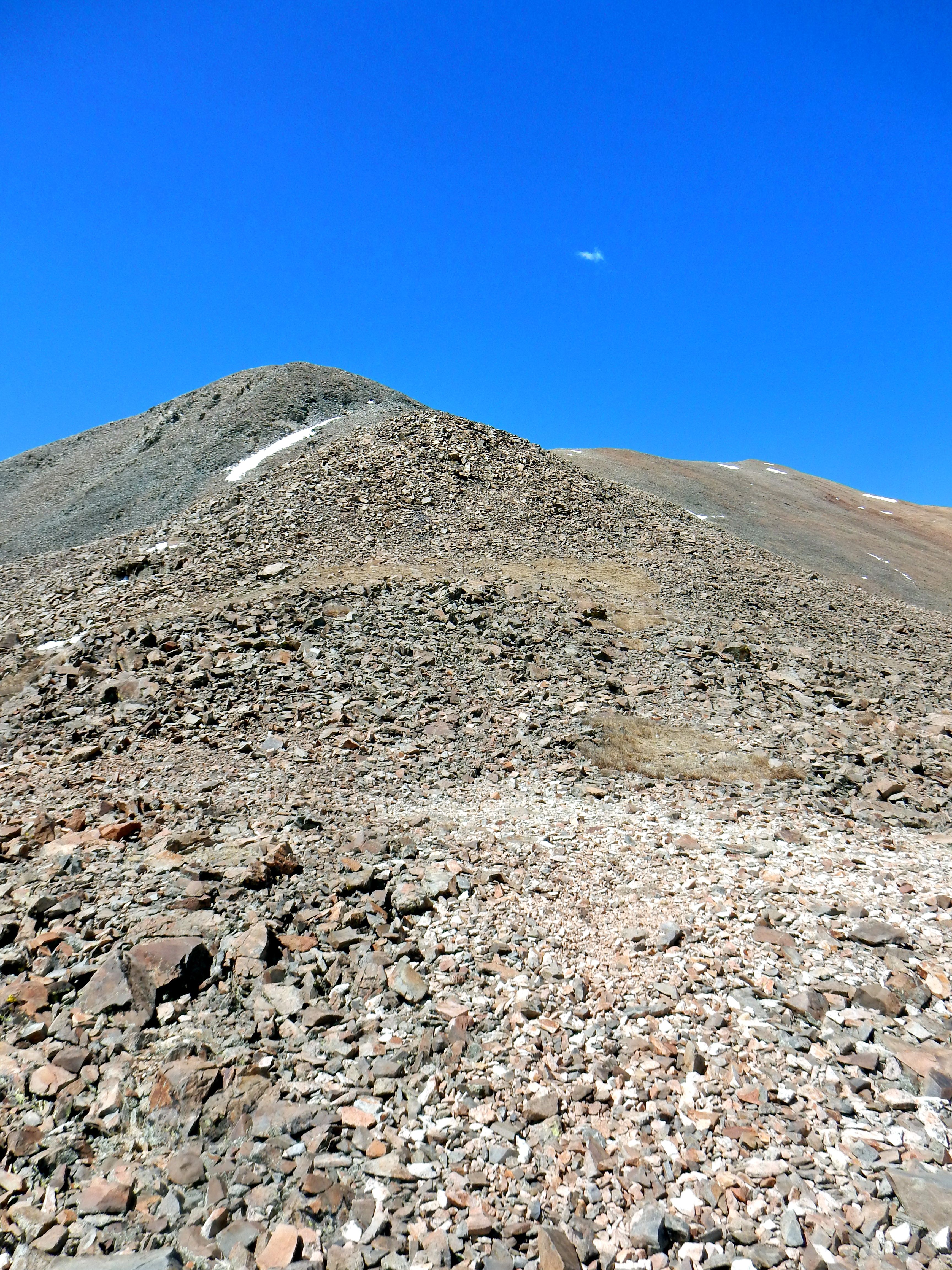
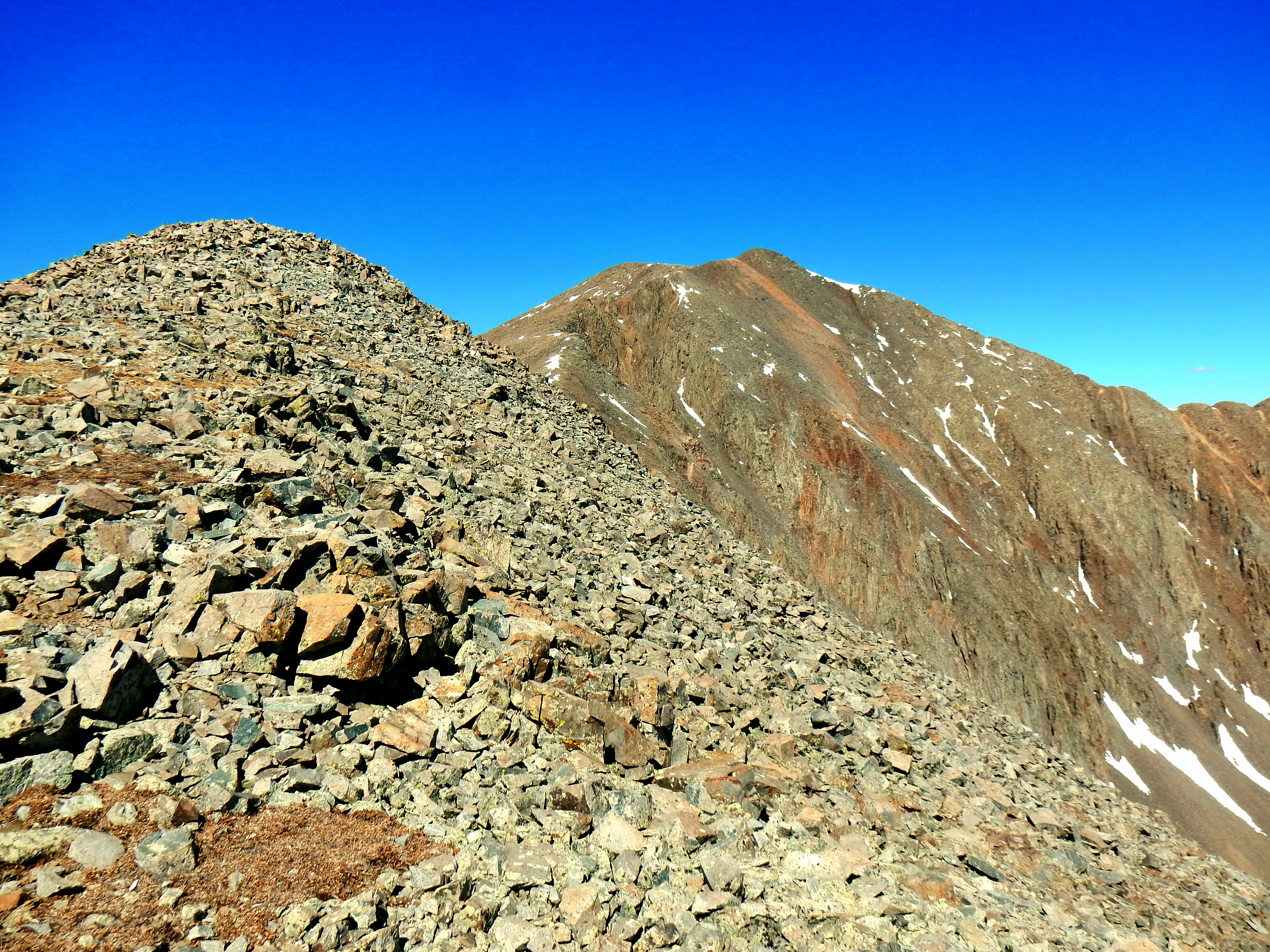
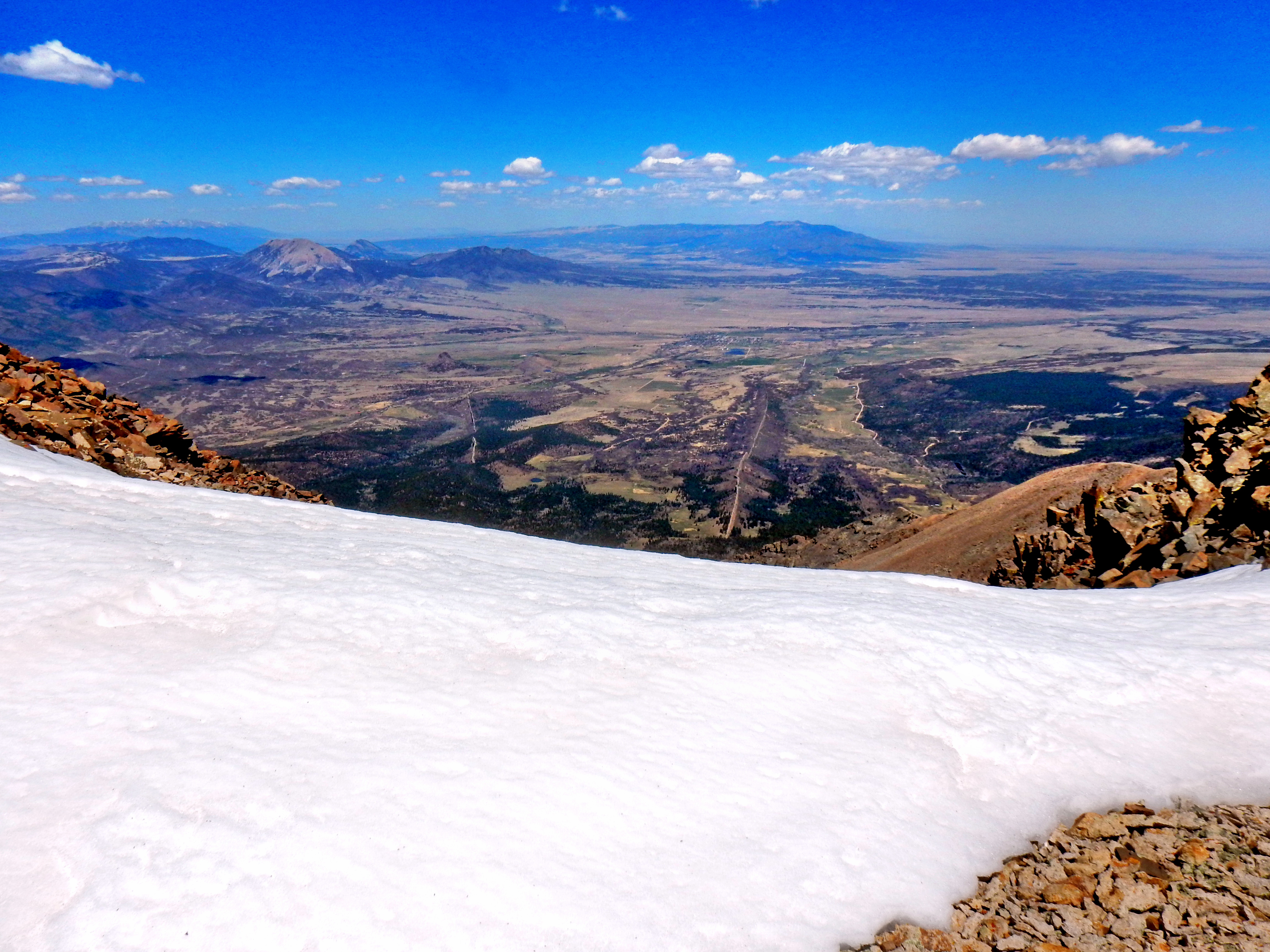
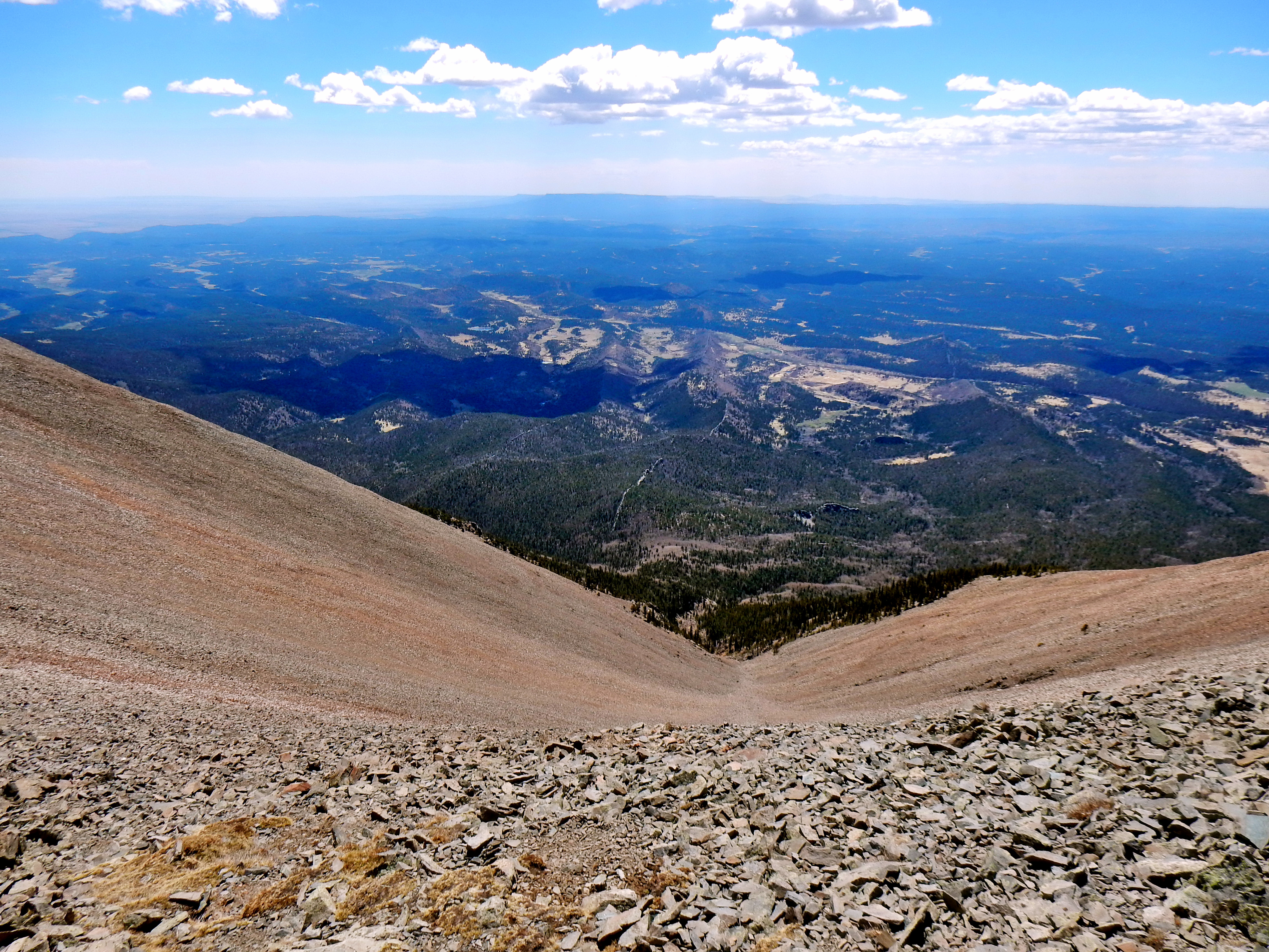
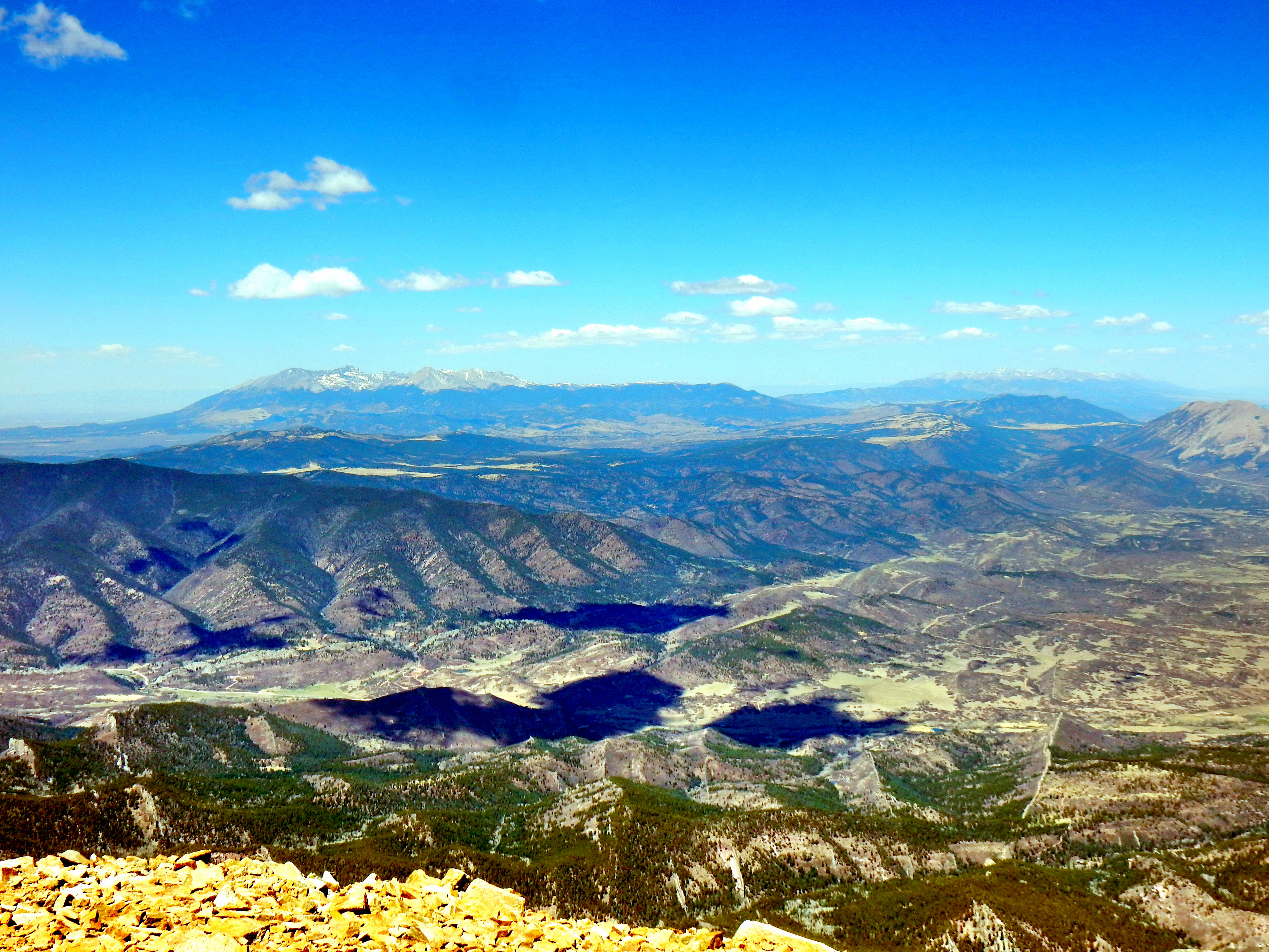
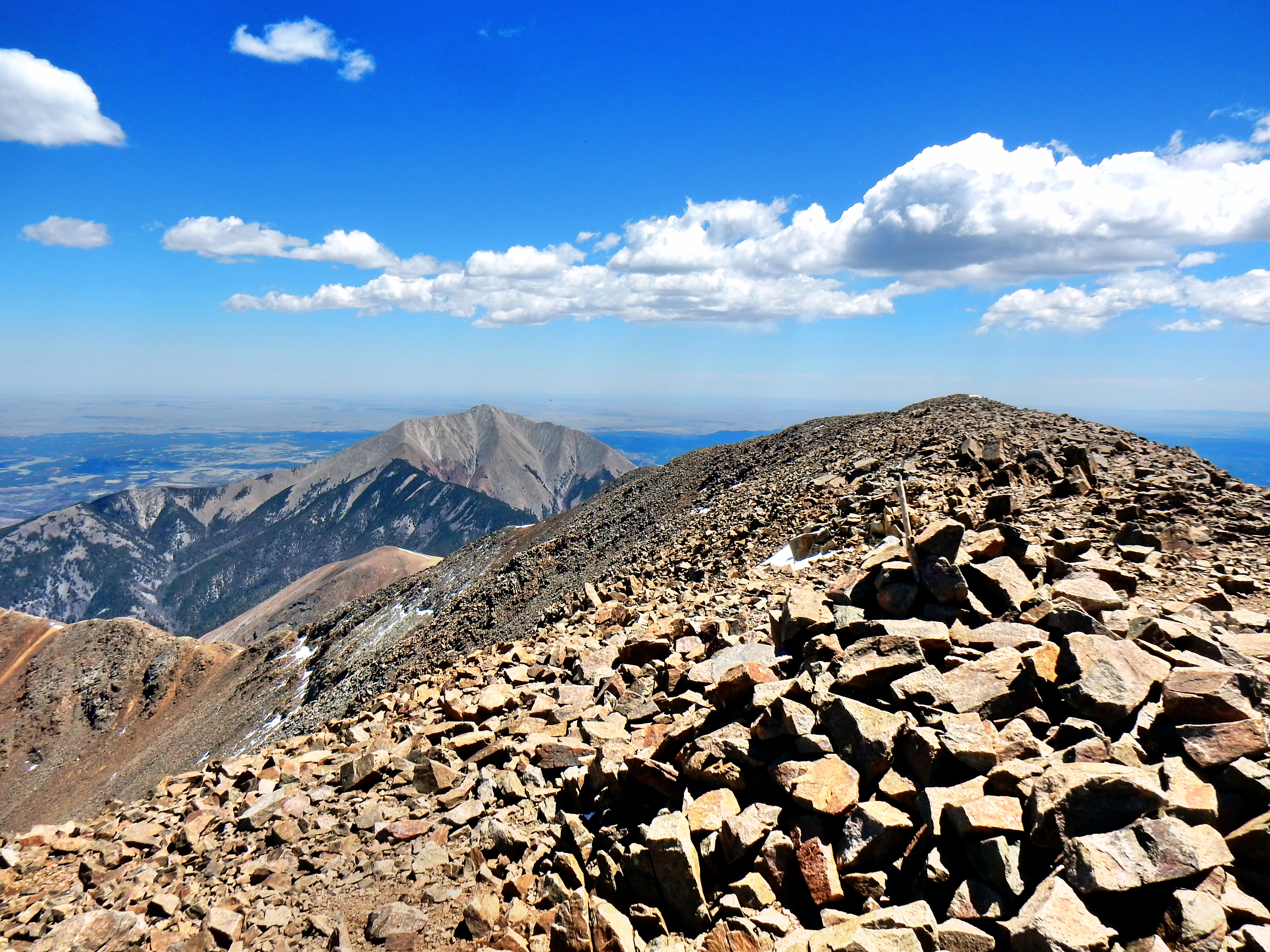
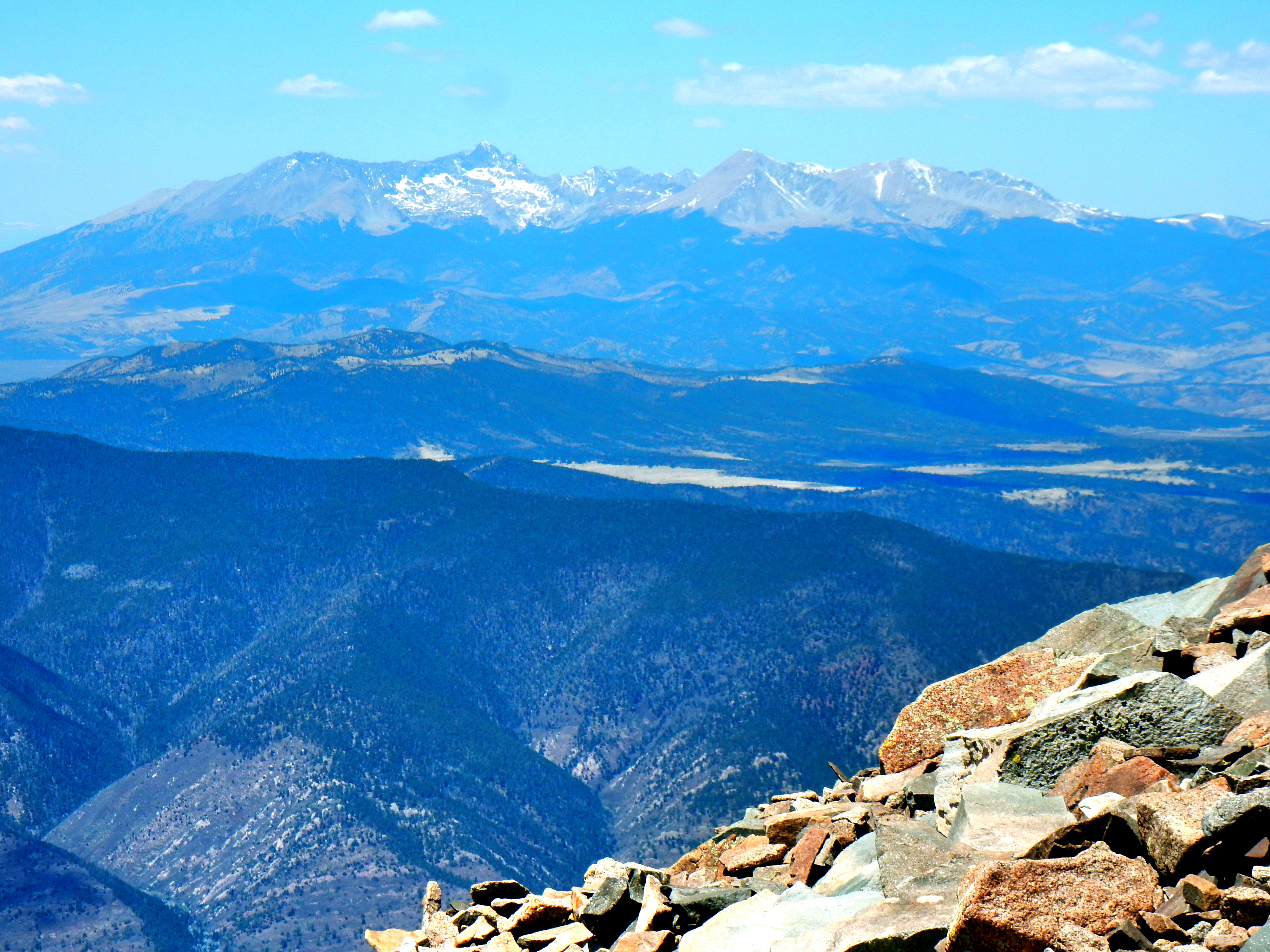
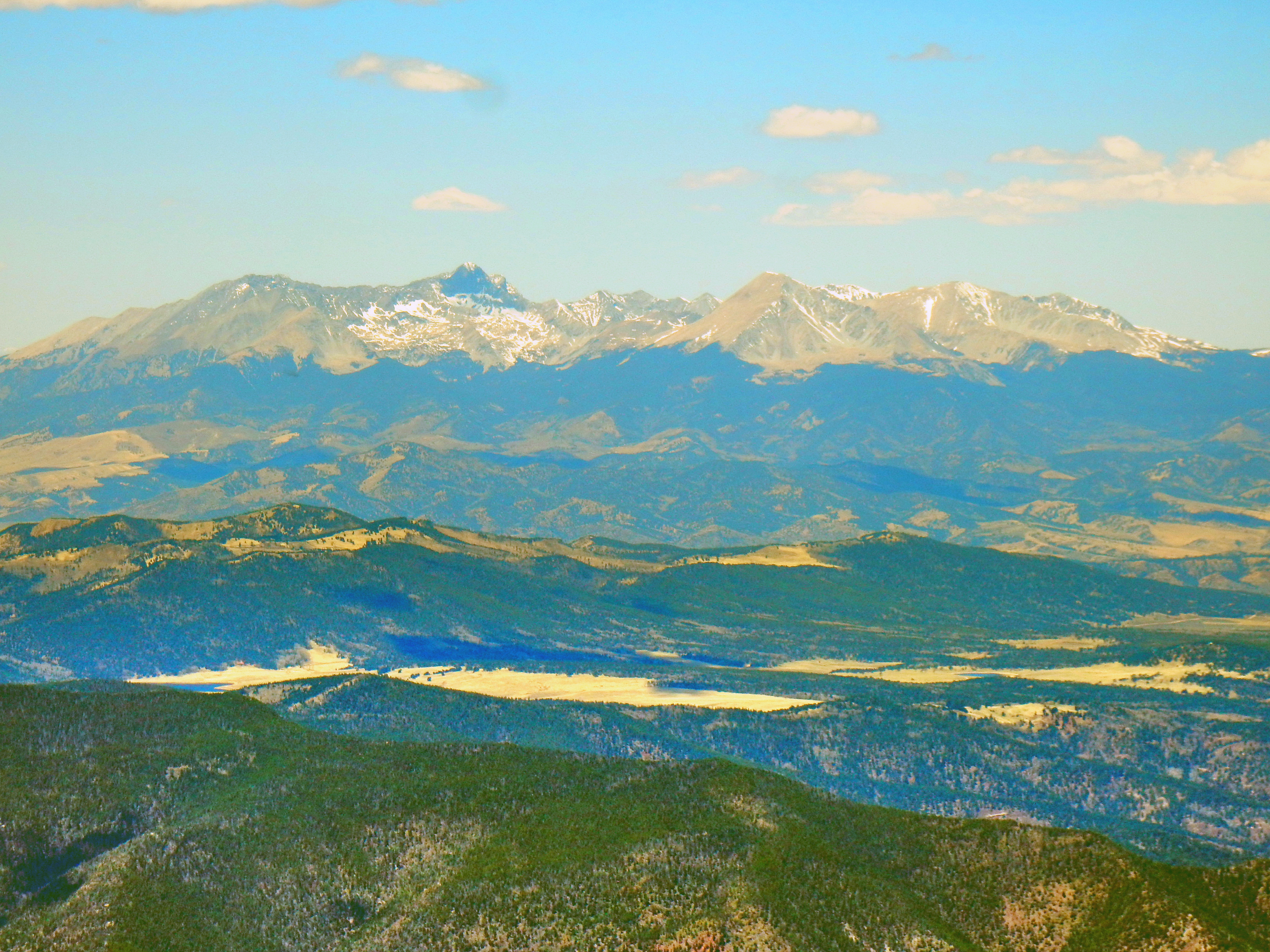
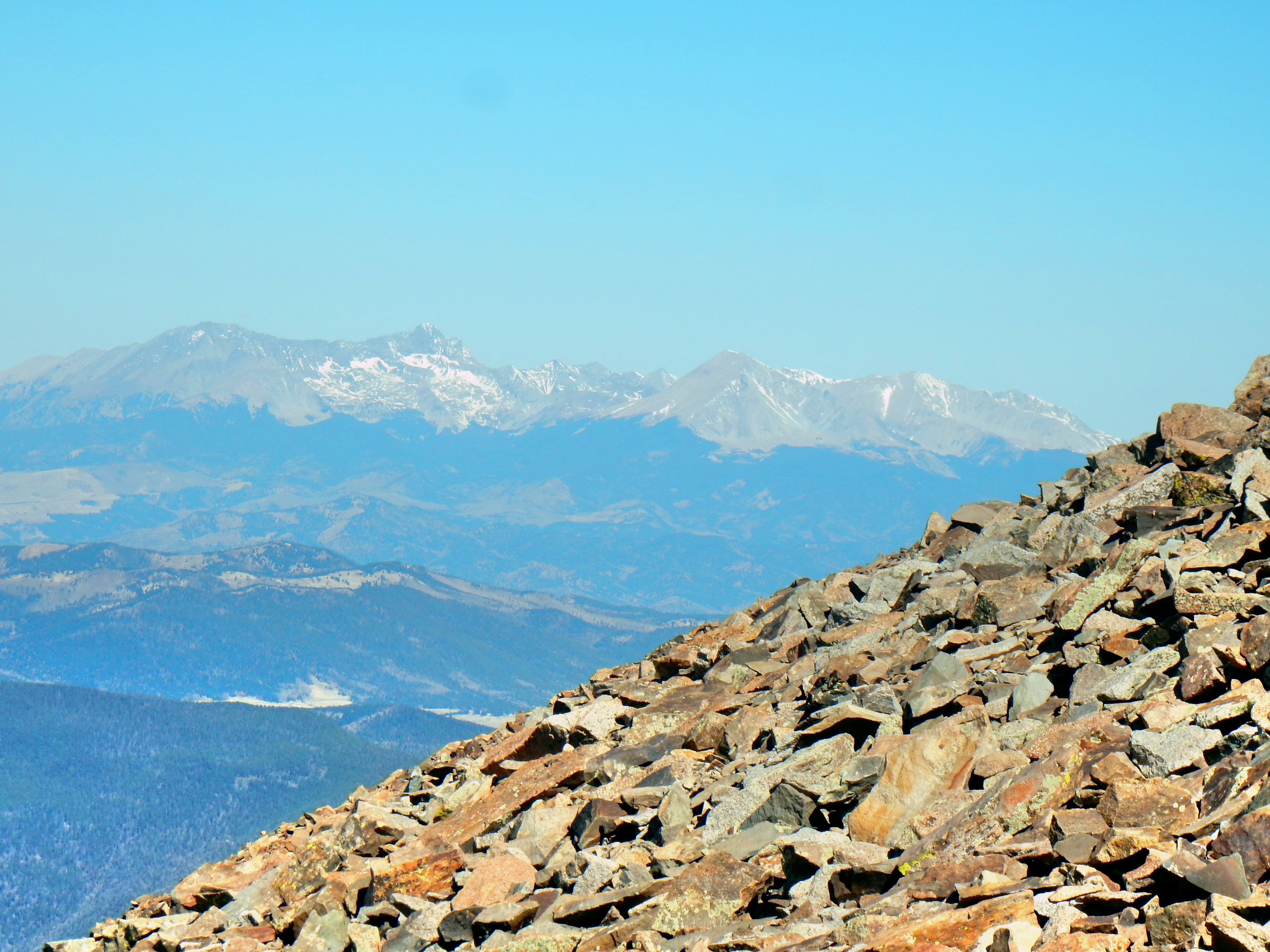
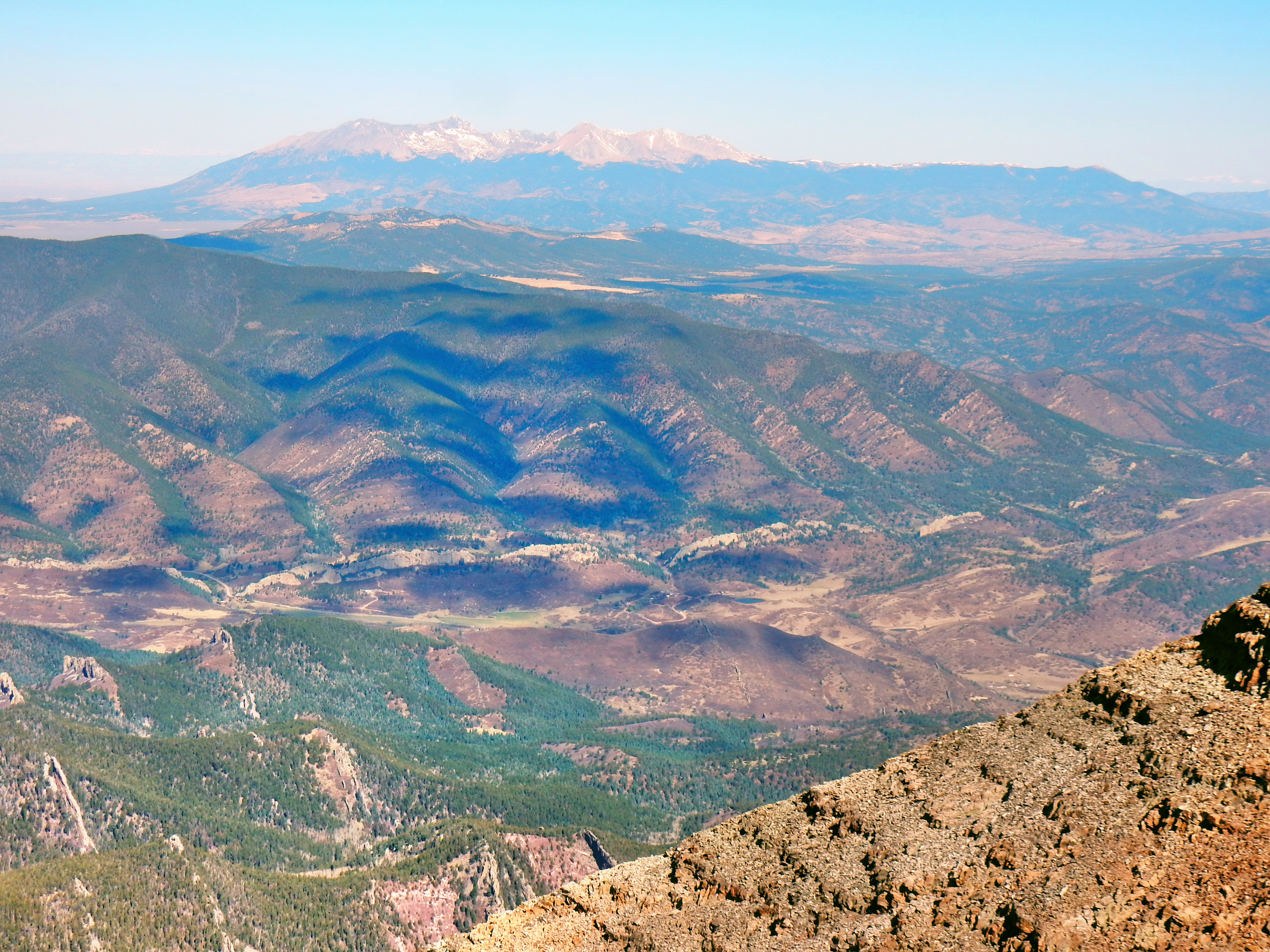
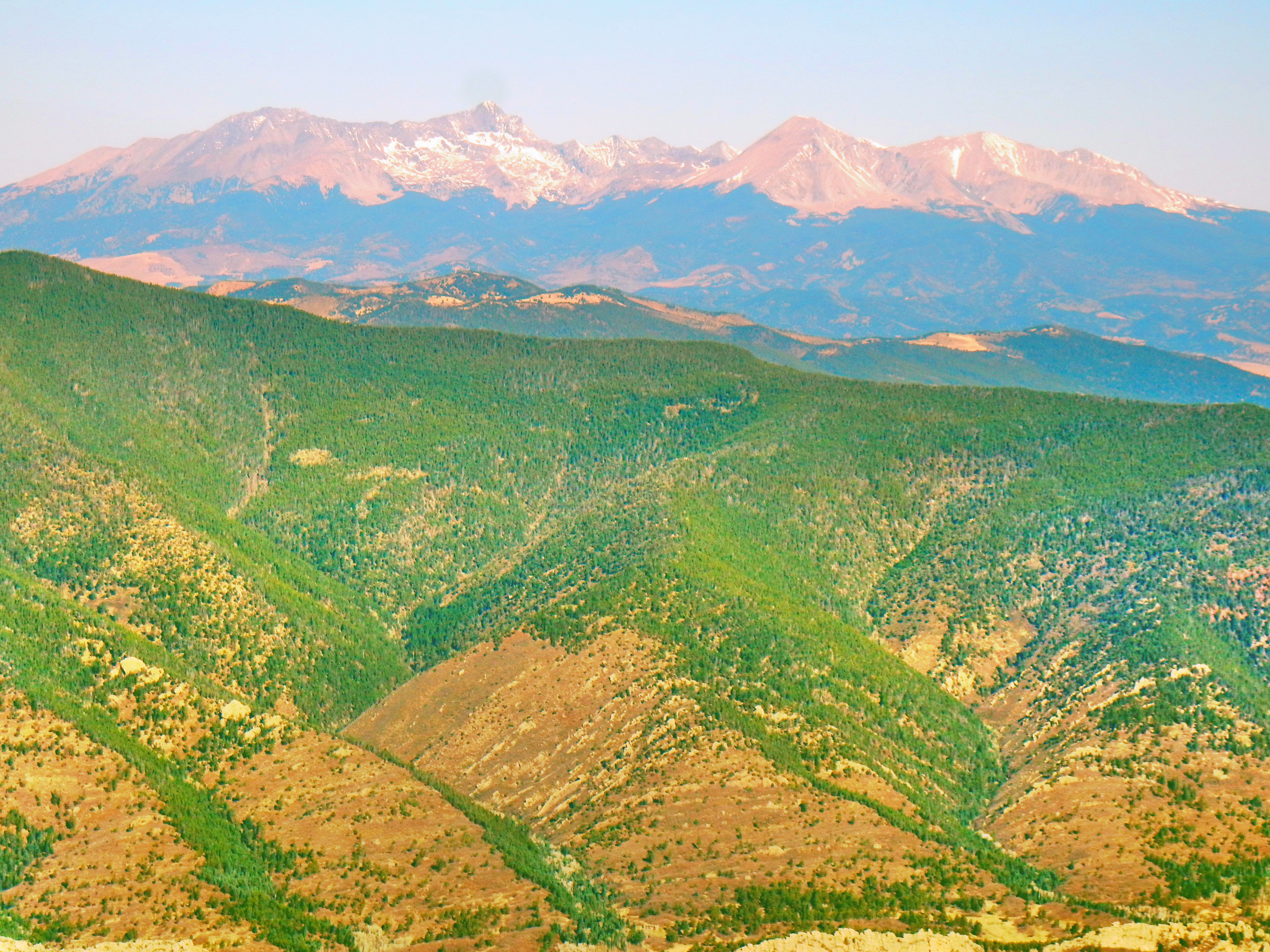
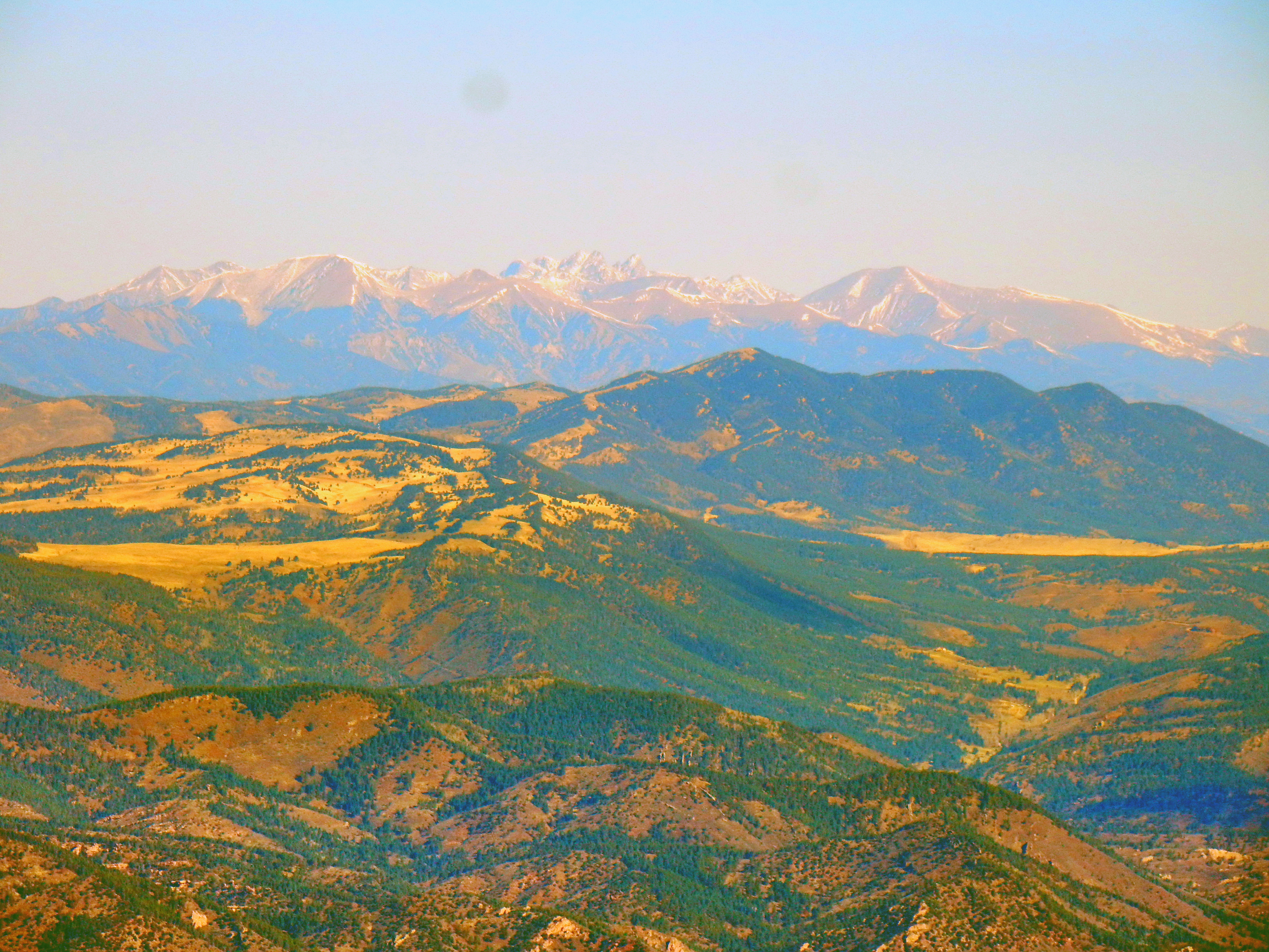
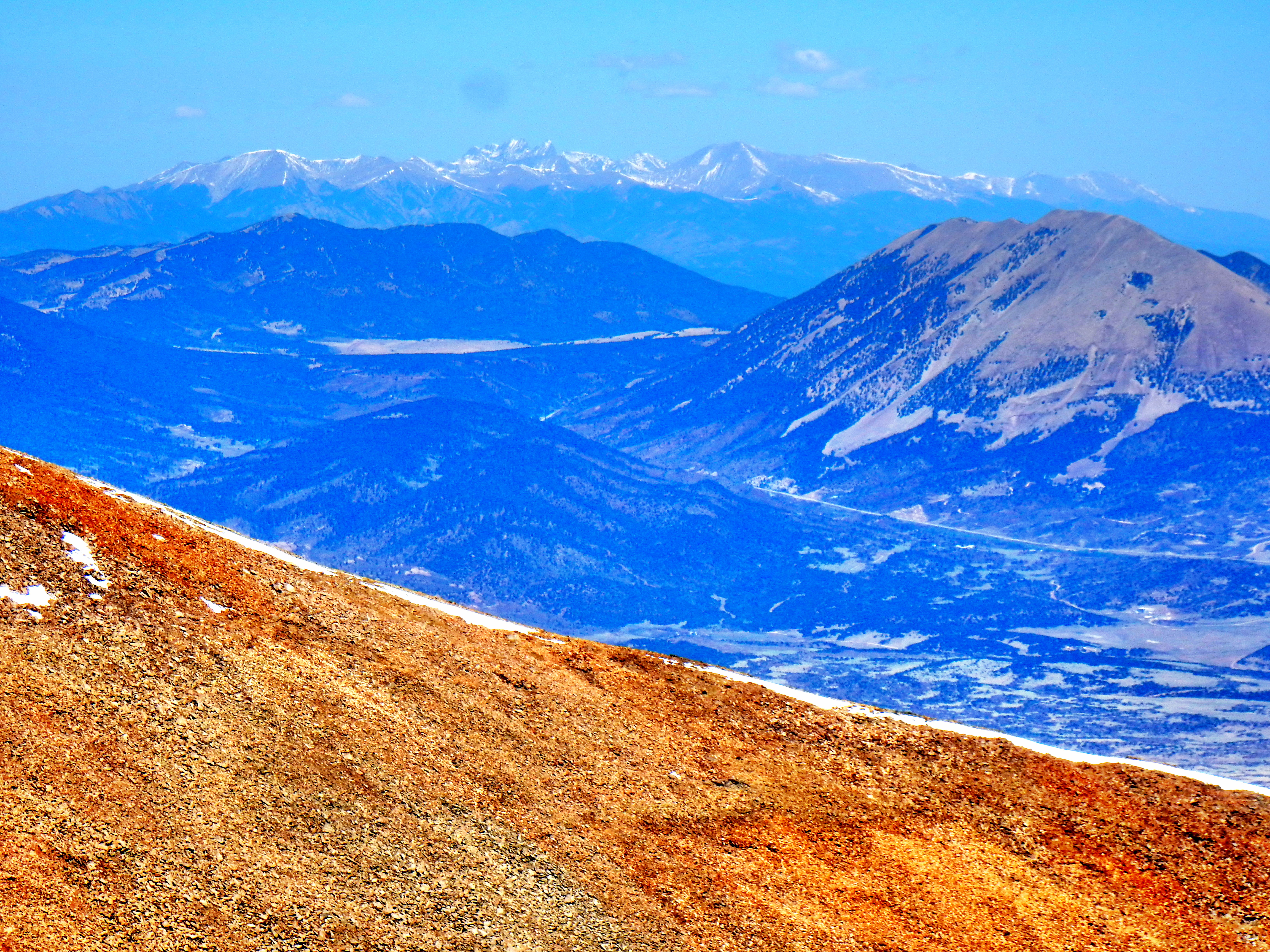
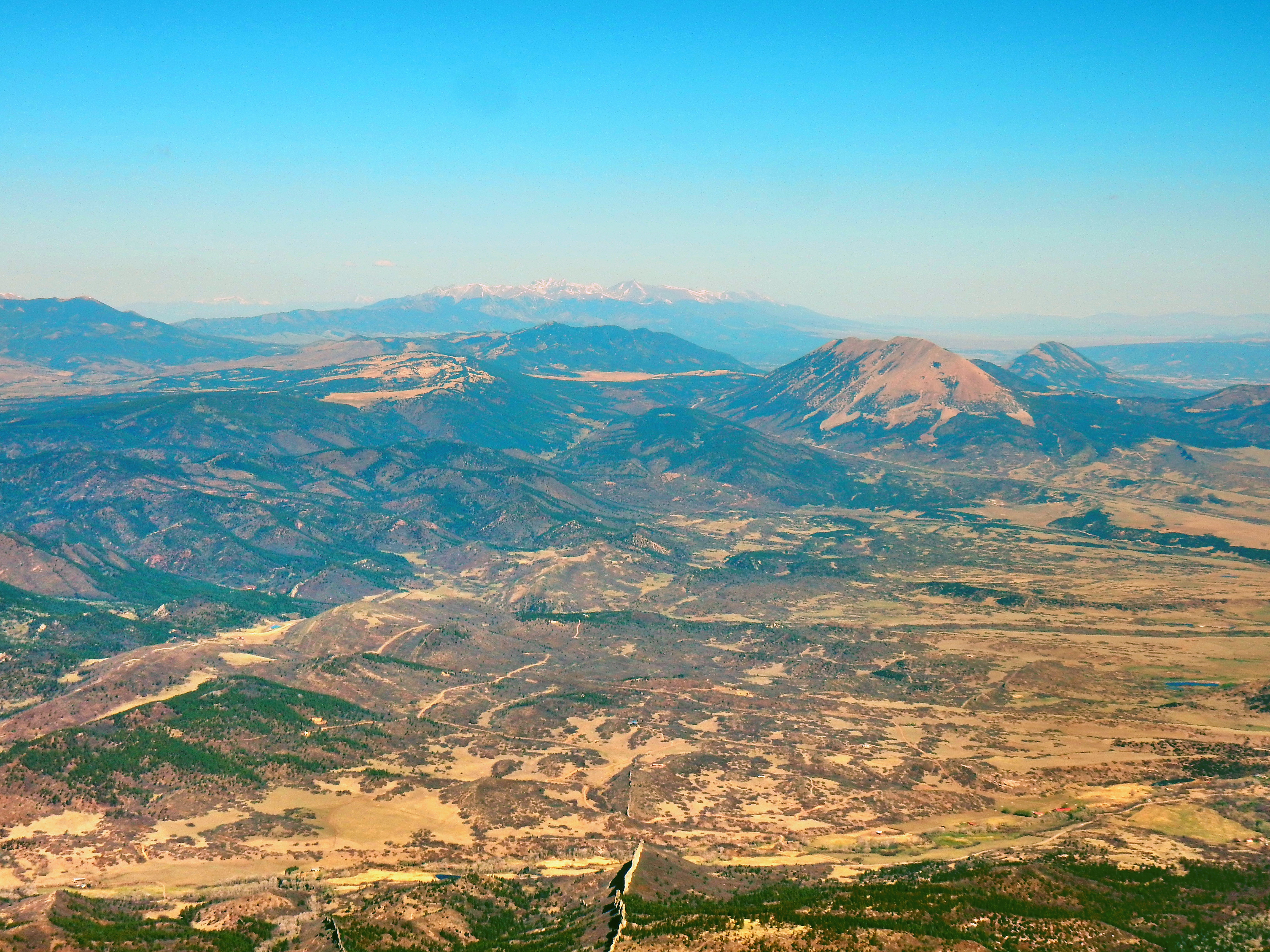
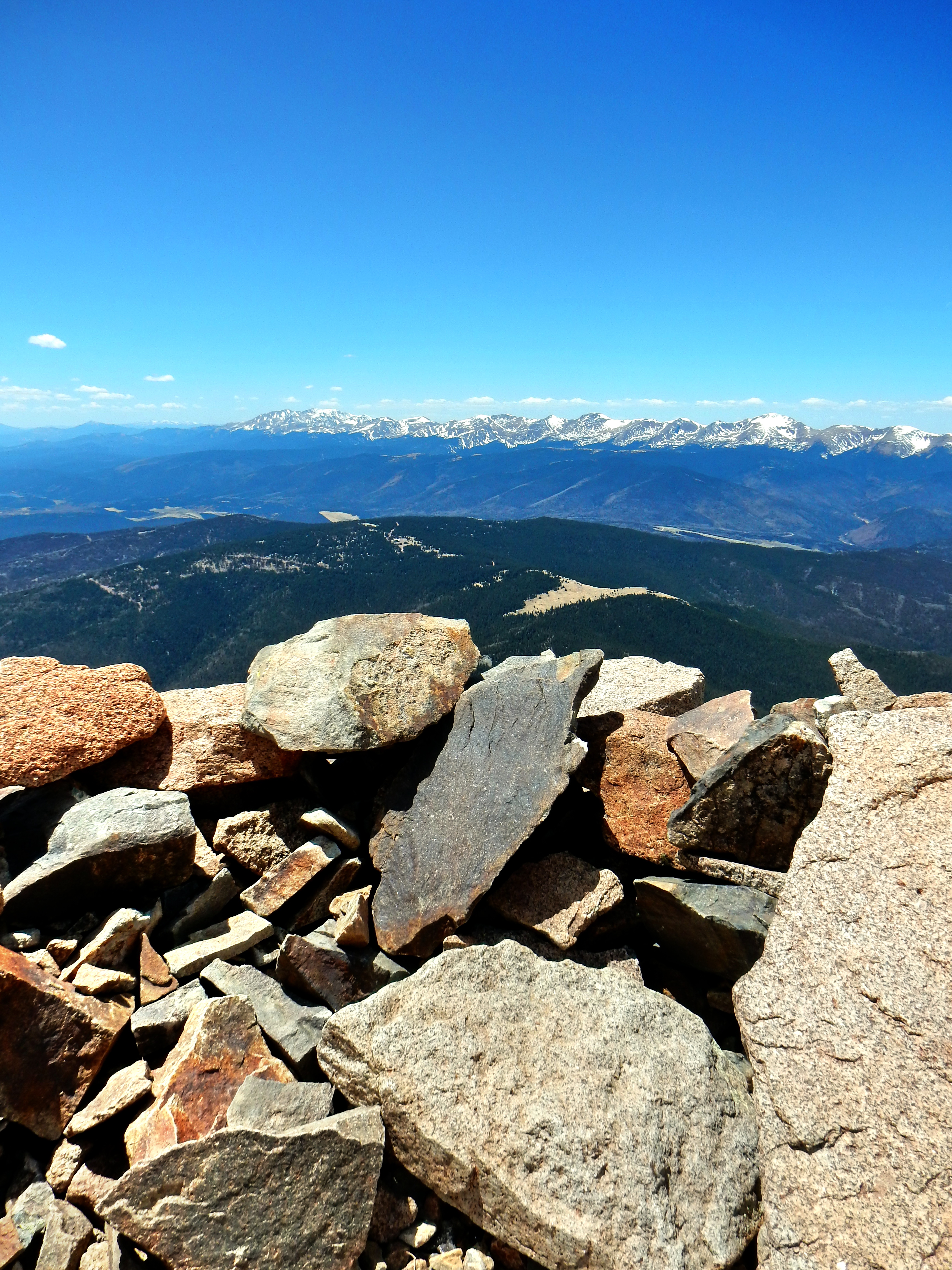
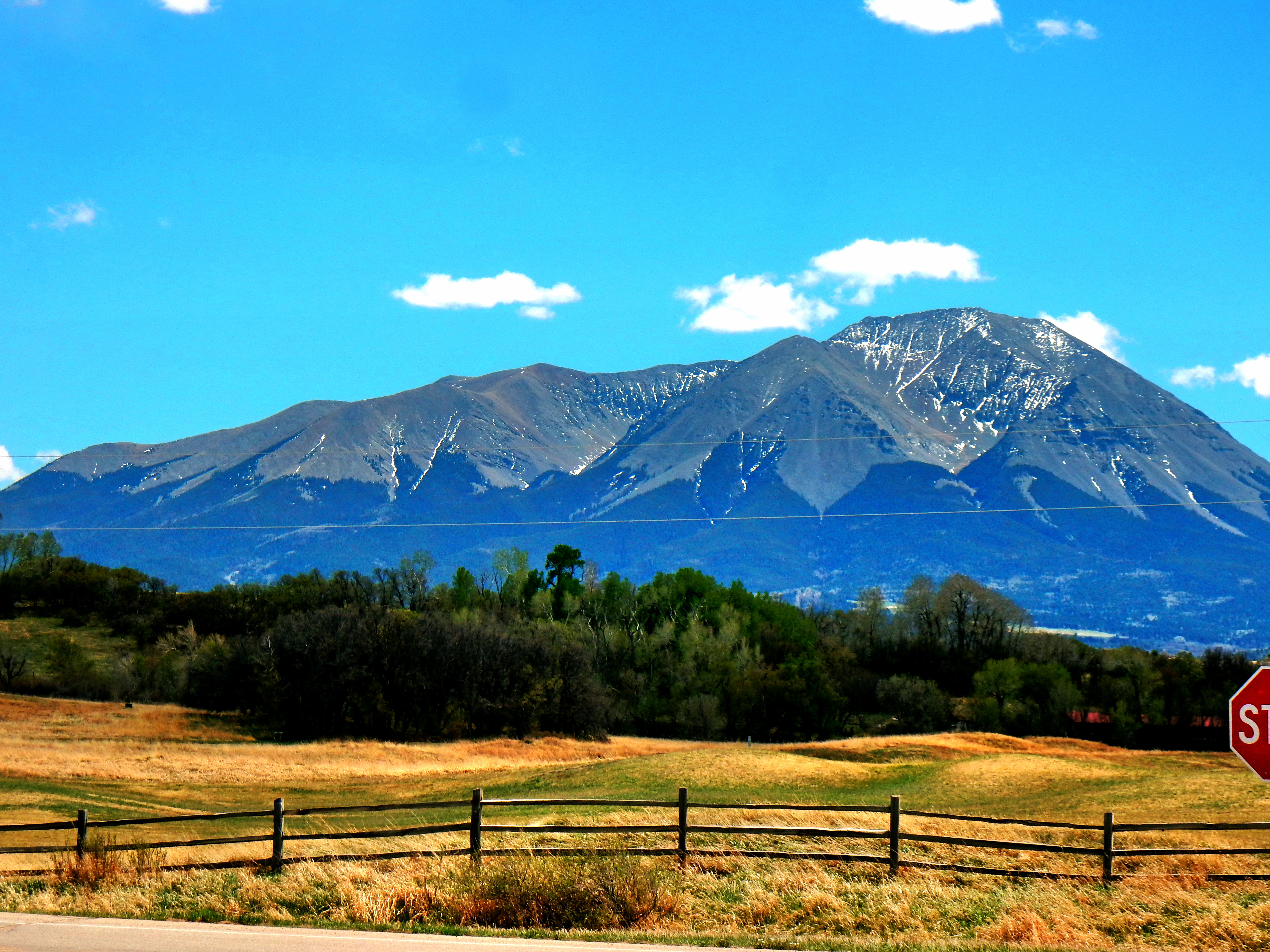
Just a few early morning clouds, but stellar day!Zoom…yep, this sucker is steep!West Spanish Peak in the afternoon! (Excuse the chronological gap, but this is less than a half mile from Cordova Pass)An early look at the Culebra Range…Trinchera Peak (13,517′) is the middle peak. You can also see the now defunct Cuchara Ski Area on the right. Here is link if you want more info.: http://www.coloradoskihistory.com/lost/cuchara.htmlZoomed look at Trinchera PeakCulebra Peak (14,047′) and Red Mountain (13,908′) can be climbed only from private property currently for a high fee (~$150/person) currently, so let’s view them from afar today instead! Go to the Cielo Vista website for more info…http://cielovistaranchco.com/)West Spanish Peak from just off the main trail early on in the day (this photo is from the afternoon though).After about two miles of tame class 1 hiking, there is a huge cairn which means it is time to get to work! Navigation to here should be easy as it requires just one left turn at a quality sign (About 1.5 miles in, you turn left to continue of the West Peak Trail. Otherwise you’ll find yourself on the Apishapa Trail…no idea where that goes!)Don’t be deceived by the last picture, these is a steep class 2 pitch!There are periodic cairns, but you should be good as long as you don’t drift too far into the middle of the rock field. The rocks are looser than you’ll be used to from more well-traveled peaks, but nothing too dramatic.Here is a shot of Cuchara and the Culebra Range again. I was feeling a little humbled by the steepness of the climb, so I needed to take some pictures as an excuse! Might as well enjoy the beautiful day!Paper all day! Scissors and you’ll get destroyed!A few more cairns become visible as you work you’re way up. I suspect many of the lower ones were knocked down by rock fall. Either way, you pretty much just head straight up.Like finding a cairn in a rock field as the saying goes. Rock lovers eat your heart out!A quick look down before the summitOn the summit of West Spanish Peak (13,626′)…distant views of the Blanca Group 14ers and the Crestones 14ers. Looking dry out there!Culebra Range from the summit
It only took me about 1:45 to reach the summit of West Spanish Peak and I drove over 3:00 to get to the trailhead, so I was tempted to extend my adventure over to the summit of East Spanish Peak. I wasn’t feeling too froggy early in the day, but it was gorgeous up there and I didn’t want to head back down yet. The only problem was that East Spanish Peak was so damn far away! I saw one write-up stating it was over five miles more out to the summit, another source said about 4.25 miles. Either way, it was going to be a longish out-and-back journey that would require me to lose quite a bit of elevation. Going into the day, I only really planned on climbing West Spanish Peak since traversing over to East Spanish Peak seemed like it’d be anti-climatic as it was about 1,000′ lower.
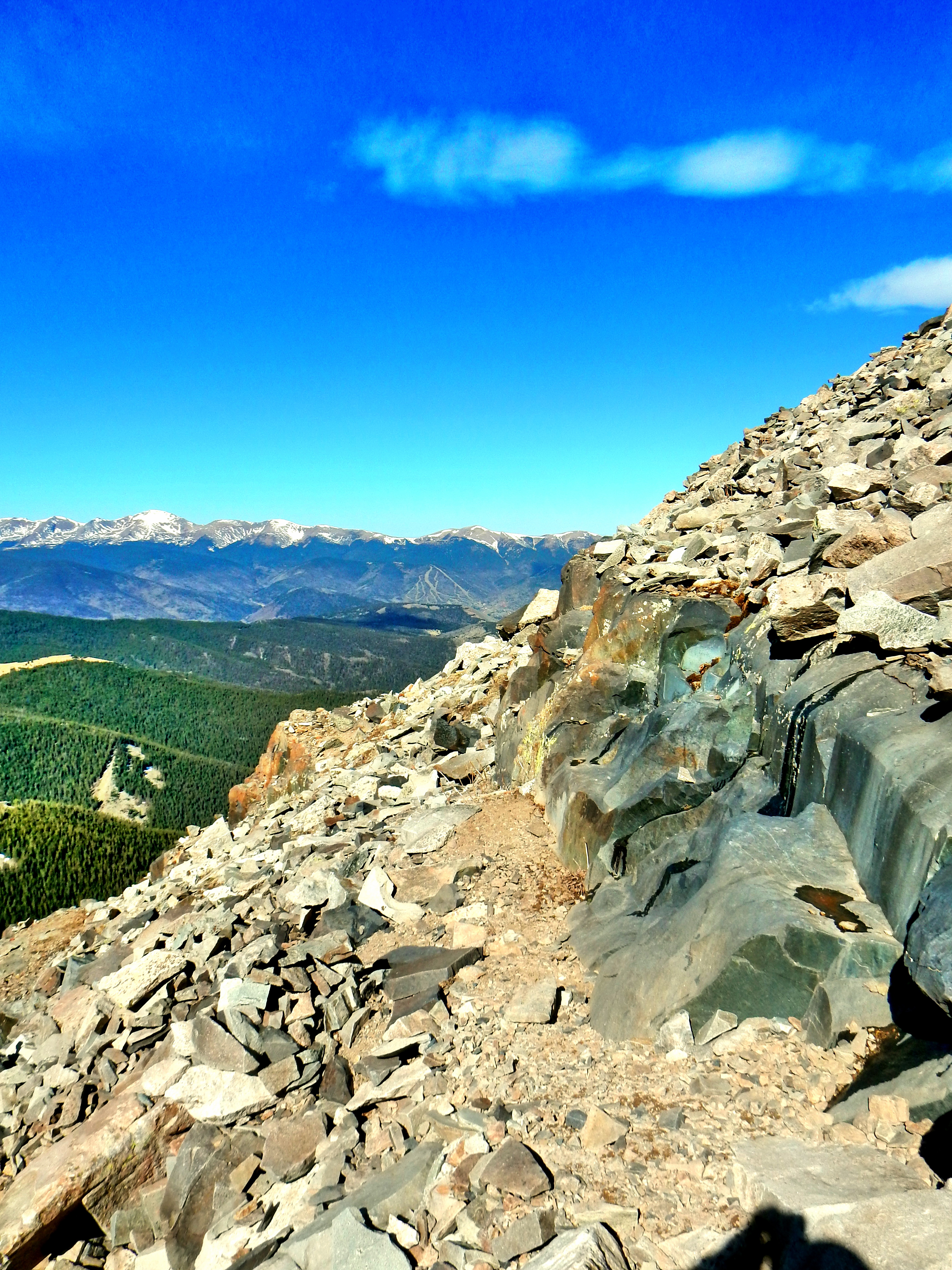
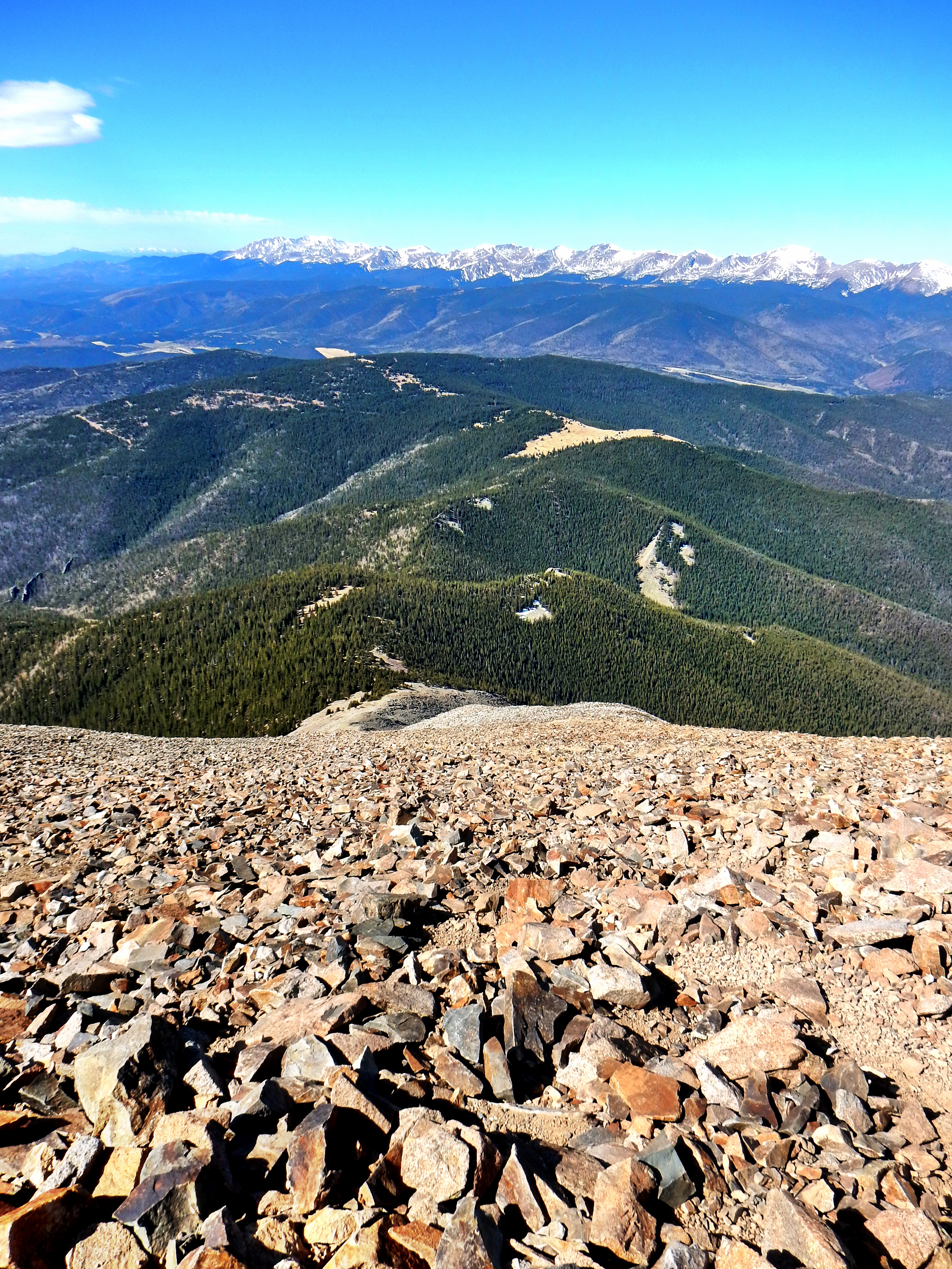
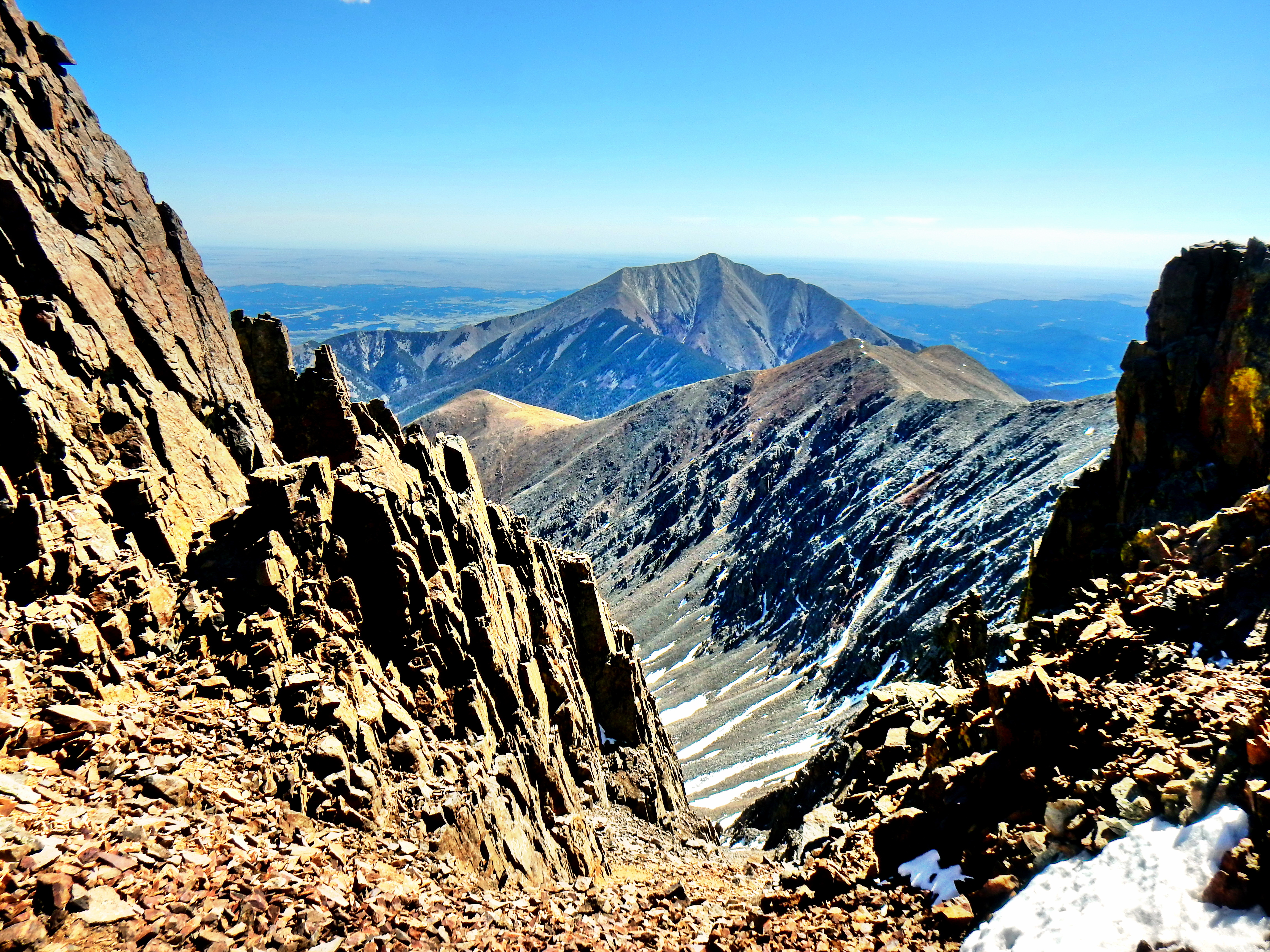
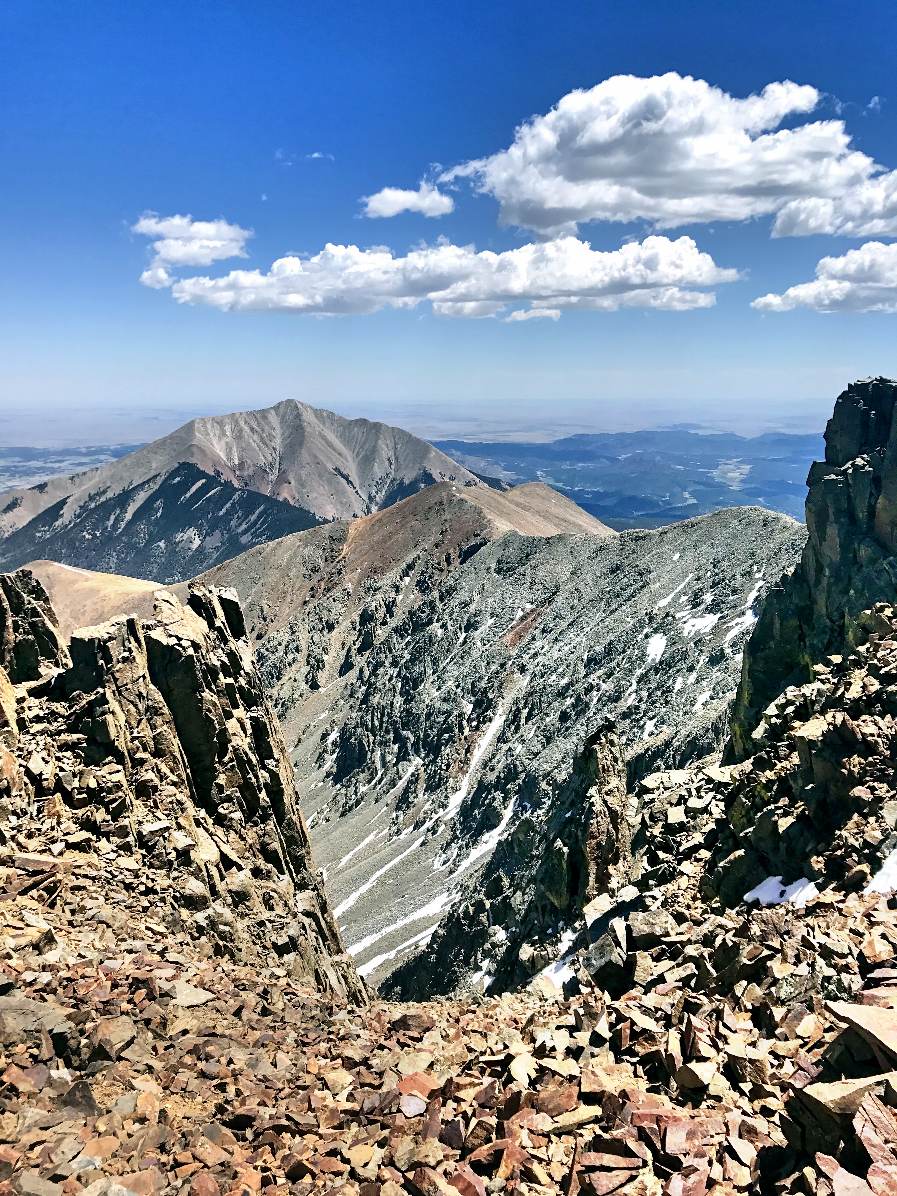
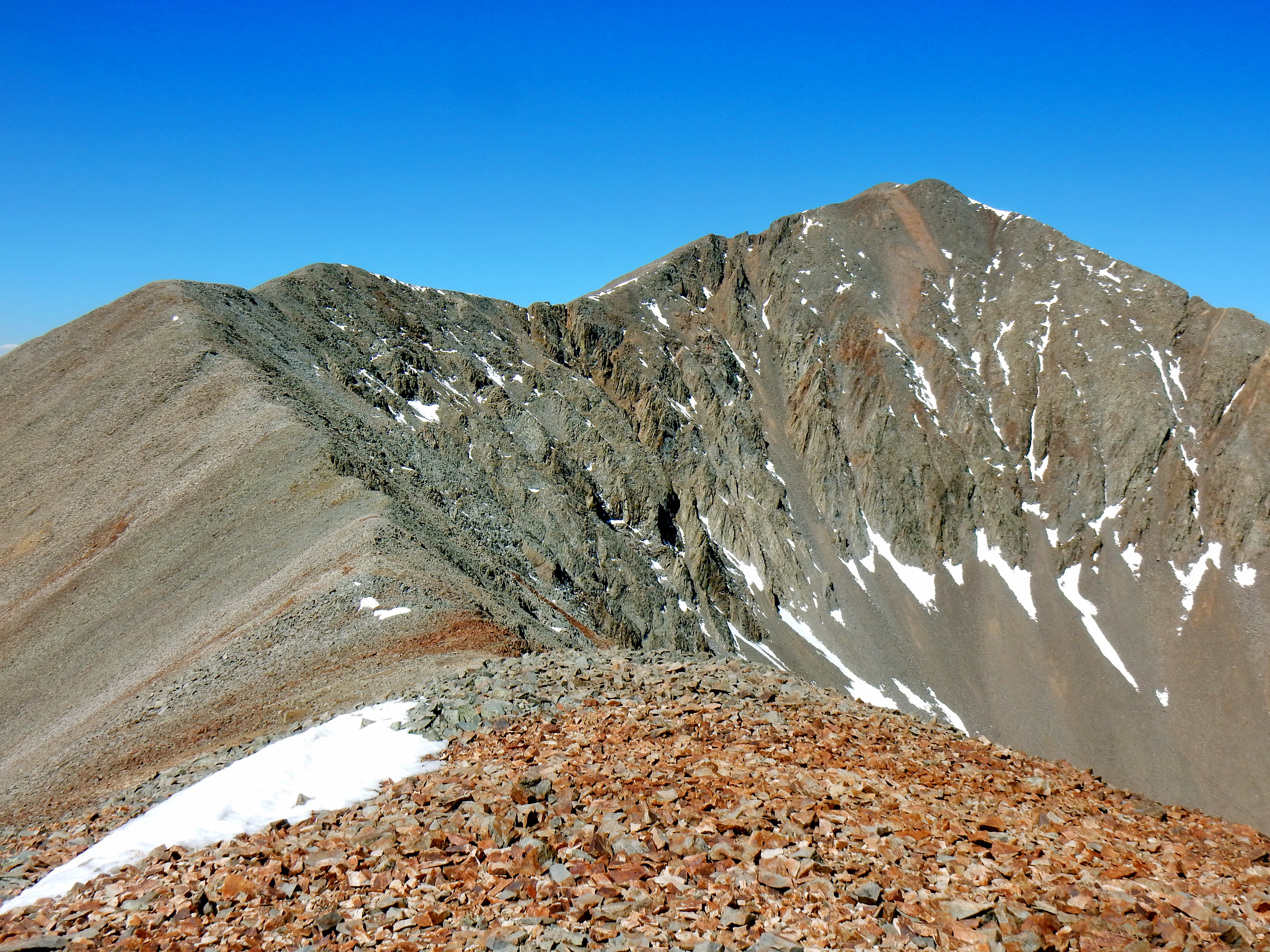
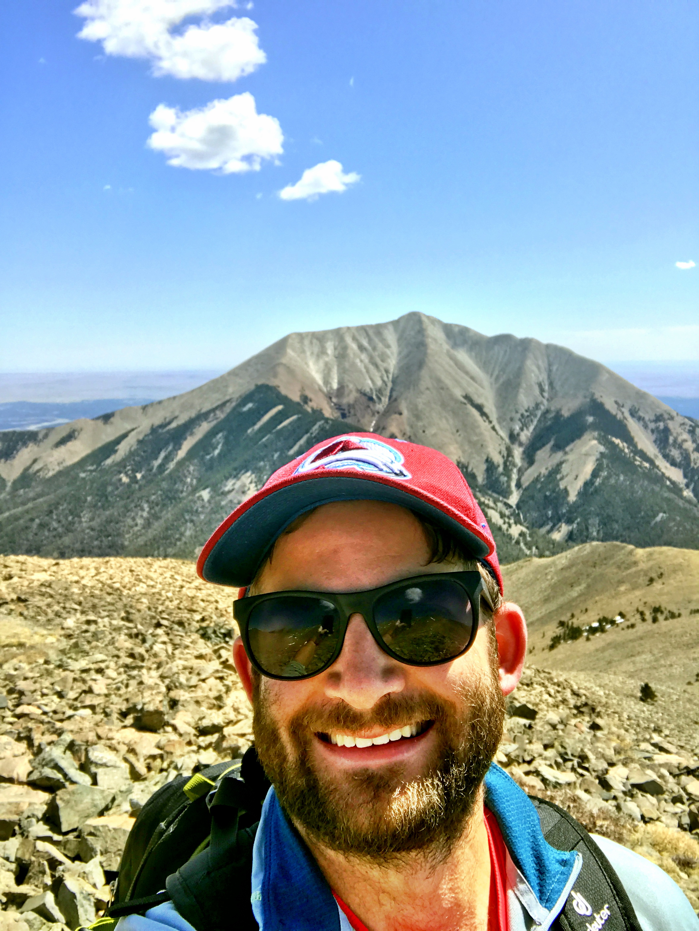
Fine! You win, you majestic mountain!The traverse across was rocky, but not technical at all.Stay high is the name of the game on the first part of the traverseNo real exposure, but the drop-offs from the ridge are pretty dramatic in spots.Don’t tripJust a few more ridge bumps until……you start to think that maybe it is further than you originally thought!Ok, maybe just one more knob. I mean it is still early and it isn’t that far…Hmm, still a little ways down to treeline and then that ridge looks like a pain in the ass…but, I’ve never regretted climbing a mountain!Oh yeah, I have to climb like 1,200′ just to get back on top of West Spanish on the way back already. This shot is only a small portion of the way back. A few more steps and a slight twinge of pain appeared in my right foot, which finalized my decision to turn back. It was a little disappointing, but I wanted to play it safe since I have lots of climbing and running goals for the season ahead!It became a little more disappointing that I didn’t decide to turn back earlier as I climbed back up the West summit…I believe the West summit is just behind the high point on the right of this picture.Back up to West Spanish PeakA few views from the “connecting” ridge between East and West…Most snow I saw all day.A few views from the “connecting” ridge between East and WestA mountain so nice, I climbed it twice! Back on the West Spanish Summit! I edited this photo for better visibility of the Blanca Group (left) and Crestones (right).Goodbye East Spanish Peak, maybe I’ll come back and climb you some other day! Maybe from the Wahatoya Trailhead?A rare selfie for the road…
Well, that concludes our regularly scheduled program. Here are some bonus photos, including some really zoomed in photos of the Blanca Group and the Crestones. While you can pick out certain details with the naked eye, they were pretty far away, so most of these are edited significant in an attempt to highlight them. Anywho, see you next time!
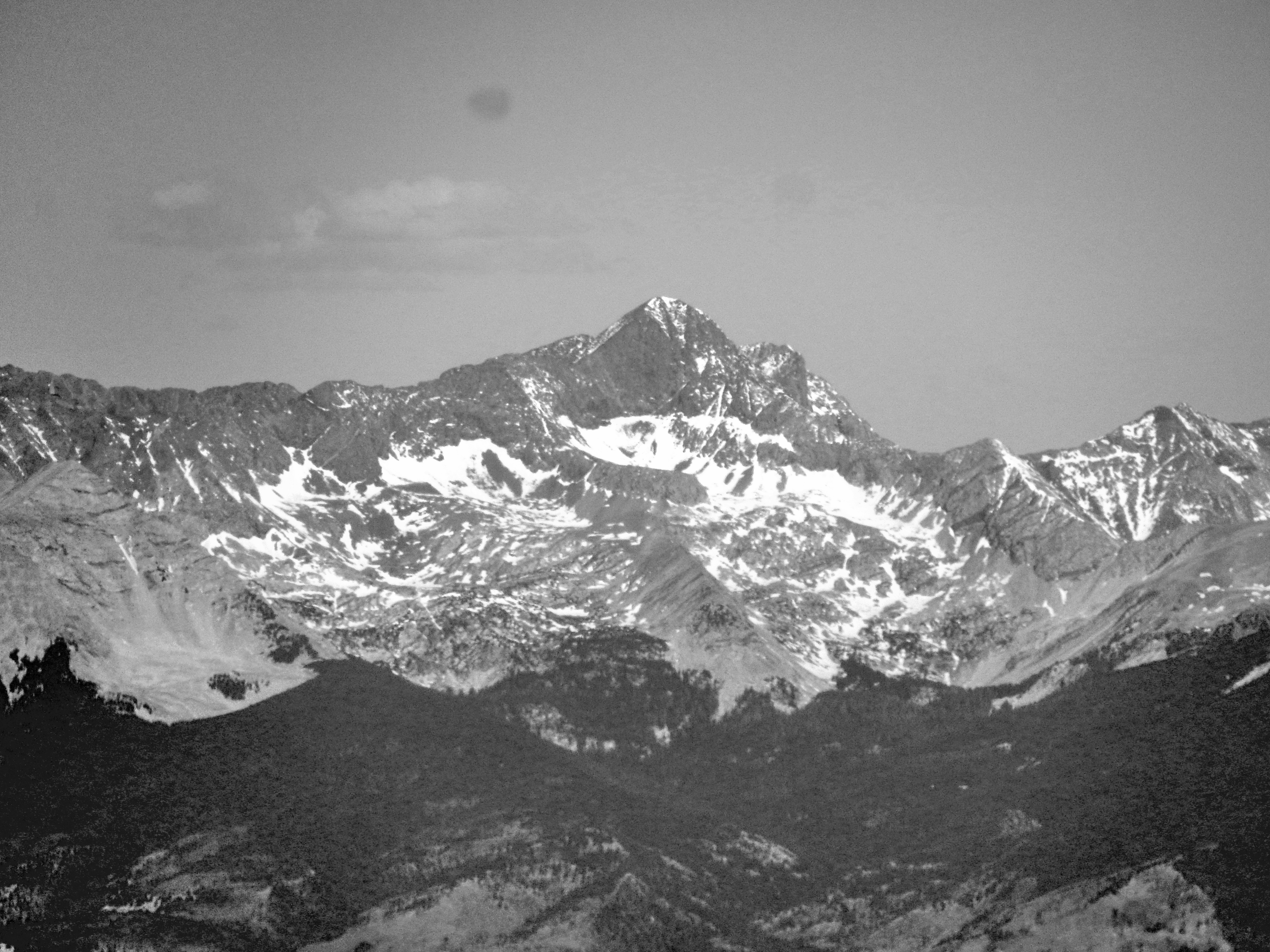
Blanca Group
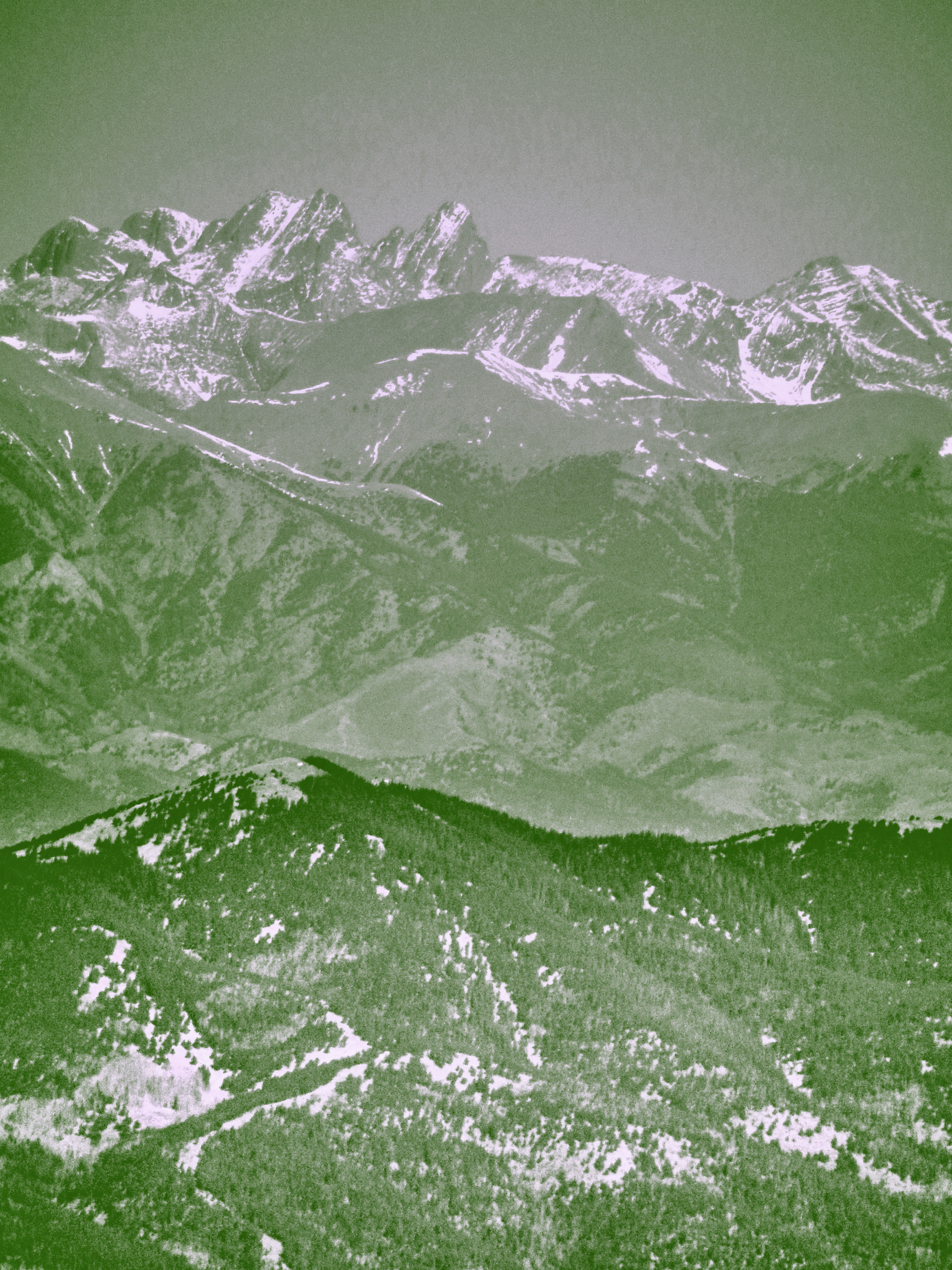
Left to right: Little Bear Peak (14,037′), Blanca Peak (14,345′), Ellingwood Point (14,042′), and Mt. Lindsey (14,042′), which is technically not part of the Blanca Group….I think I put them in the right order?A little washed out with the zoom…Mid-slope on the climb upInteresting rock formations all around the area…I’m not going to detail the specific geological origins; mostly because I have no idea.One moreBlanca Peak
The Crestones
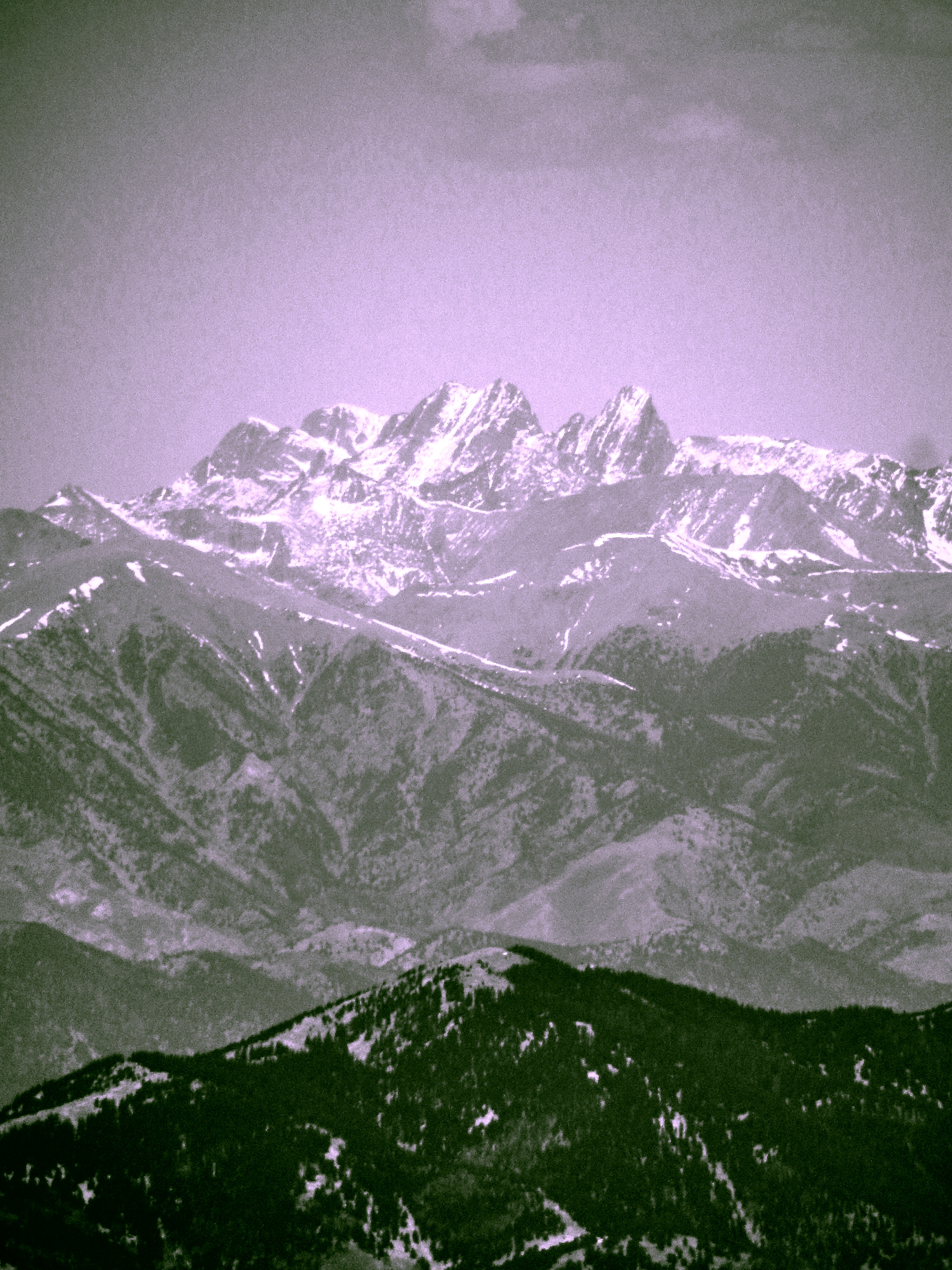
Crestone Peak (14,294′), Crestone Needle (14,197′), and Humboldt Peak (14,064′)The Crestones behind Mount Mestas (11,573′)…I think.Long way down!A little easier to see in black and white…About the same as the last one?
Until Next Time…
One more of the Culebra Range from a small wind rock shelter mid-slope.Time for the long drive home! You’ll note that East Spanish Peak isn’t even in the shot. Maybe that’s why it felt so long!